Maps & PrintsBartele Gallery · Langweer
Home / Antique Maps / Europe / Western Europe / The Netherlands & Belgium

The Netherlands & Belgium

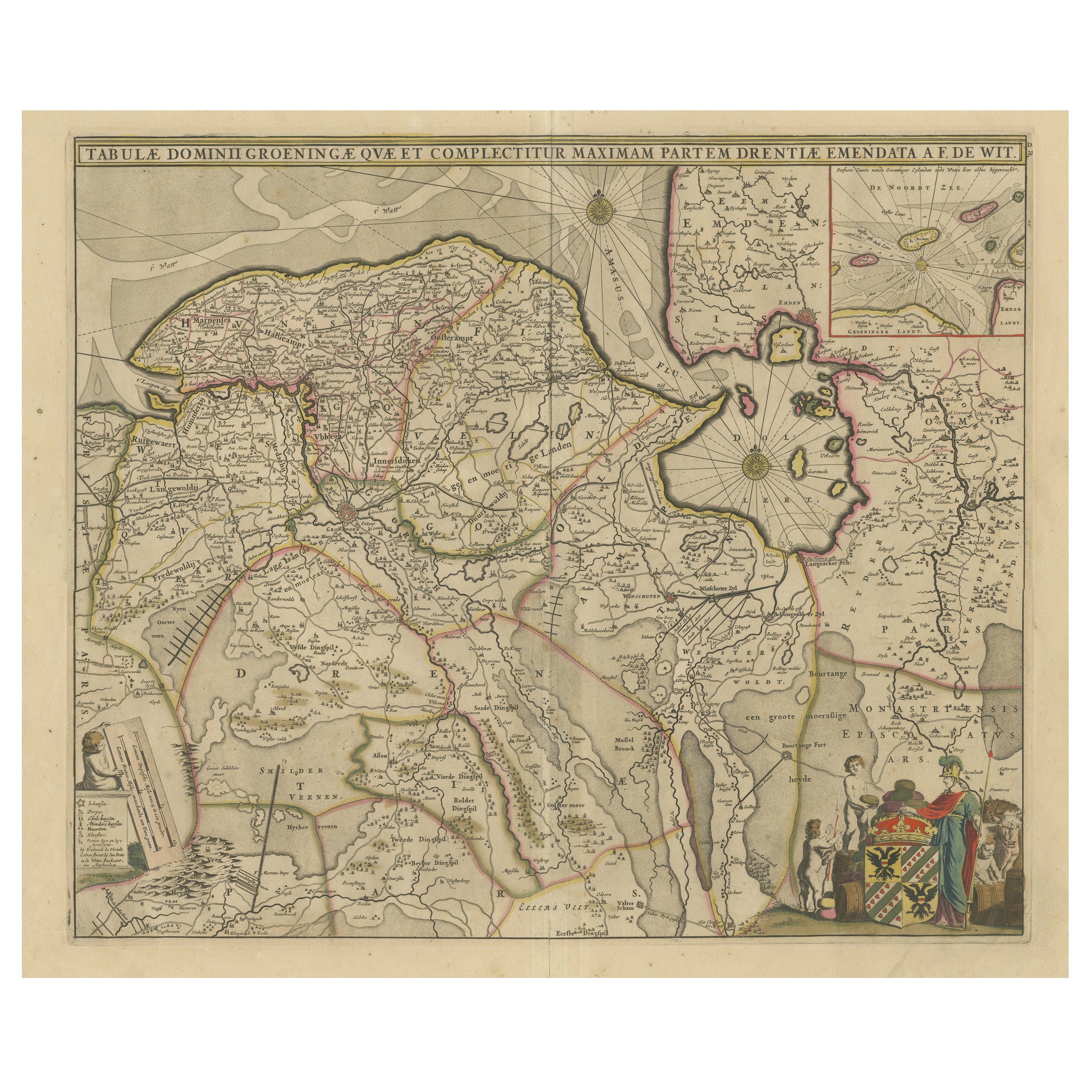

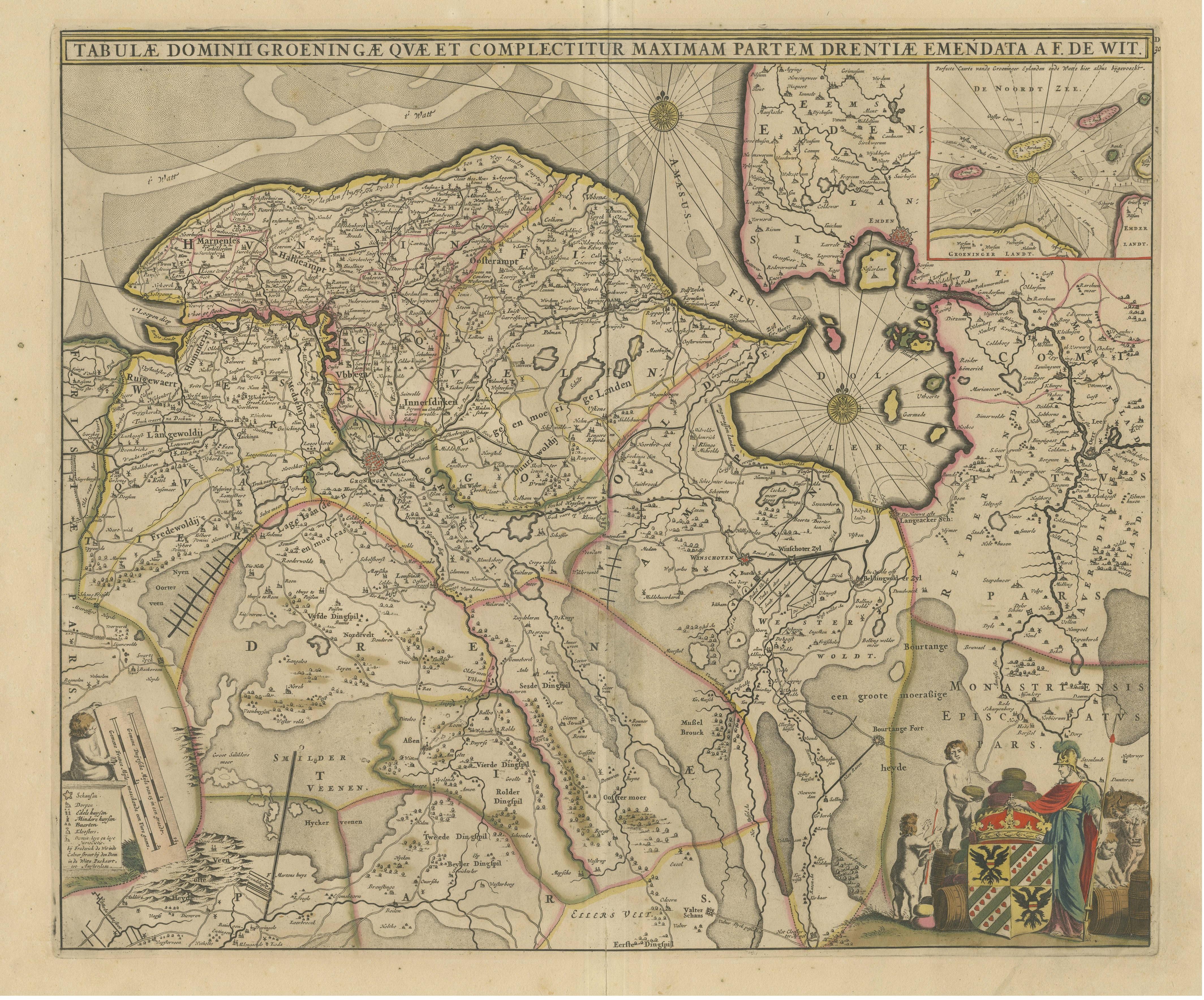
Antique Map of Groningen with Contemporary Hand Coloring

€ 660

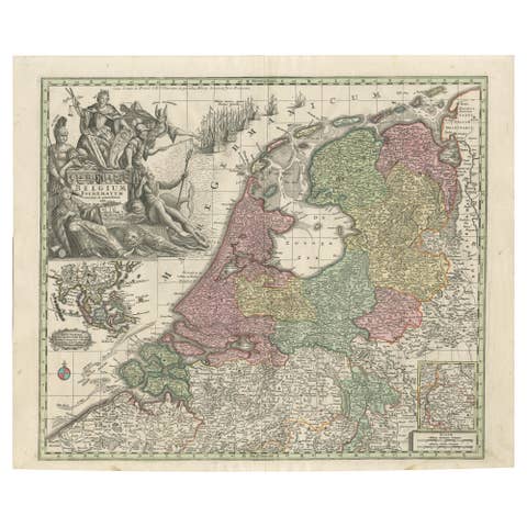
One of a kind: this is the sheet in the photographs. Ships from Langweer, the Netherlands.

Sheet size
55 × 64.8 cm (21.7 × 25.5 in)
Condition
Fair
Reference
BG-13389

Condition

Age-related toning. Original folding line, with tape on verso. Shows wear and soiling. Original/contemporary hand coloring, blank verso. Please study image carefully.
About this sheet

Antique map titled 'Tabulae dominii Groeningae quae et complecititur maximam partem Dreniae Emendata a F. de Wit'. Original antique map of the province of Groningen, the Netherlands. Decorative title cartouche surmounted by coat of arms and two figures. Title cartouche with putti, figure and animals. Compass rose and rhumb lines. In upper right hand corner inset of the islands Rottum, Borckum, etc. off the coast of Groningen and Emden. Published by F. de Wit, circa 1690.

More from The Netherlands & Belgium

Ask about this sheet

Antique Map of Groningen with Contemporary Hand Coloring
Ref. BG-13389 · € 660
We reply by email, usually within one working day.