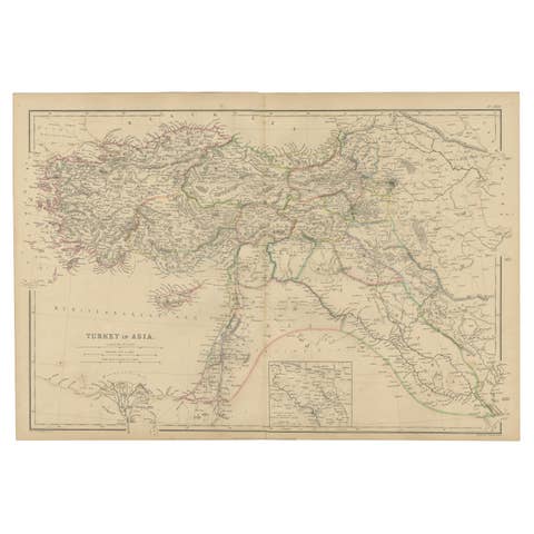
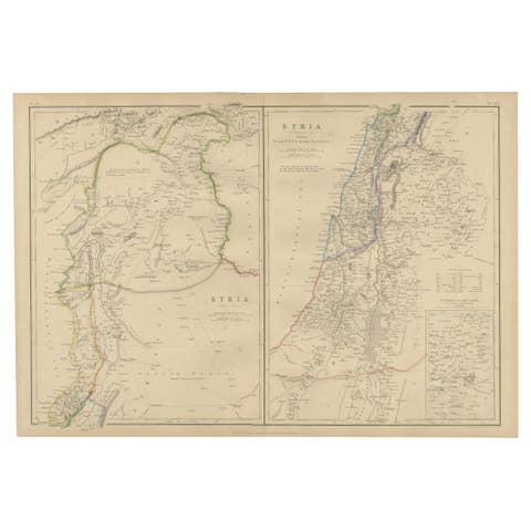
Turkey in Asia: Biblical Regions and the Holy Land from The Royal Atlas (1856)
€ 660
One of a kind: this is the sheet in the photographs. Ships from Langweer, the Netherlands.
Date
1856
Sheet size
58.3 × 47.3 cm (23.0 × 18.6 in)
Condition
Good
Reference
BG-13449-10
Condition
General age-related toning. Original folding line with very small splits in margins. Shows some wear and small defects in margins. Blank verso. Please study image carefully.
About this sheet
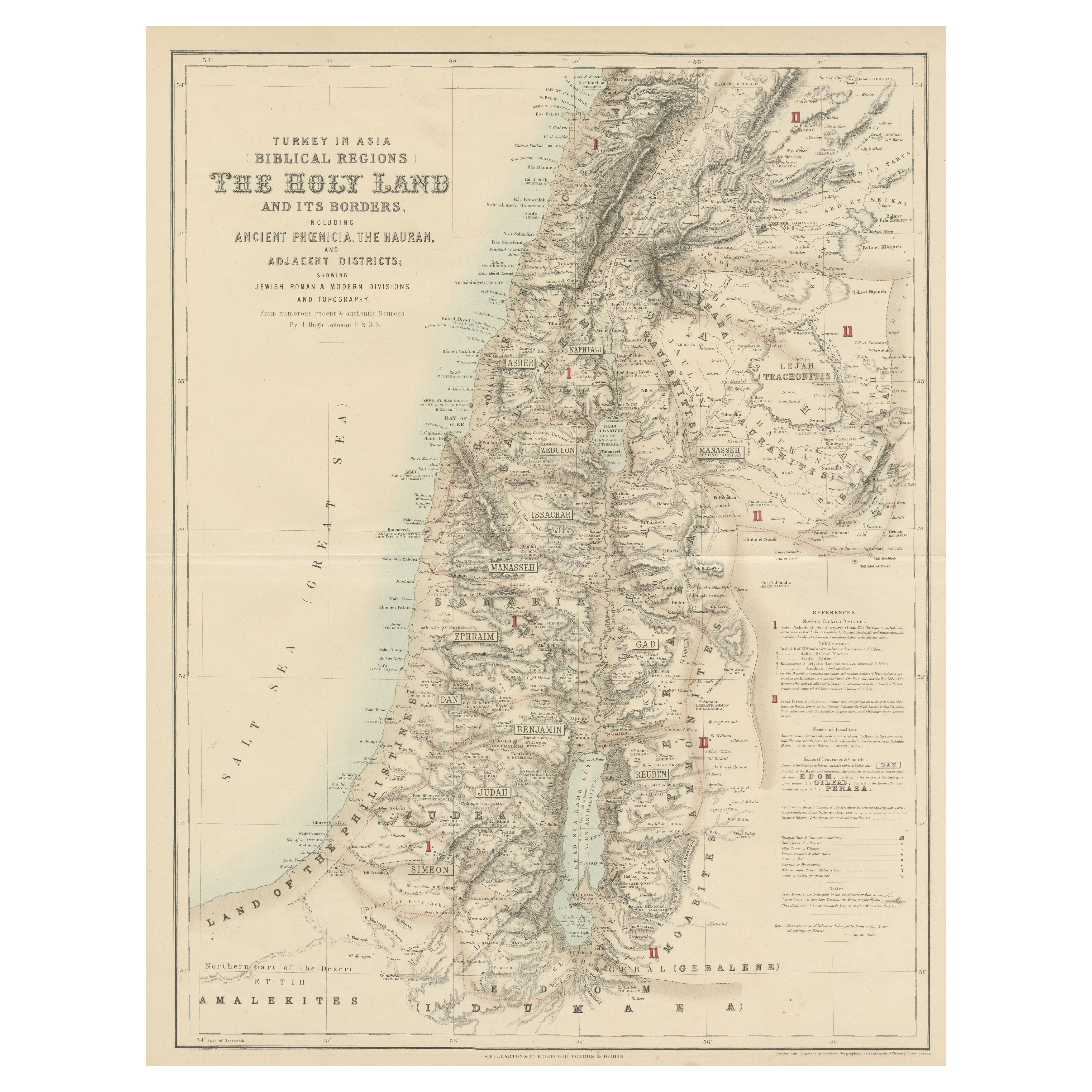
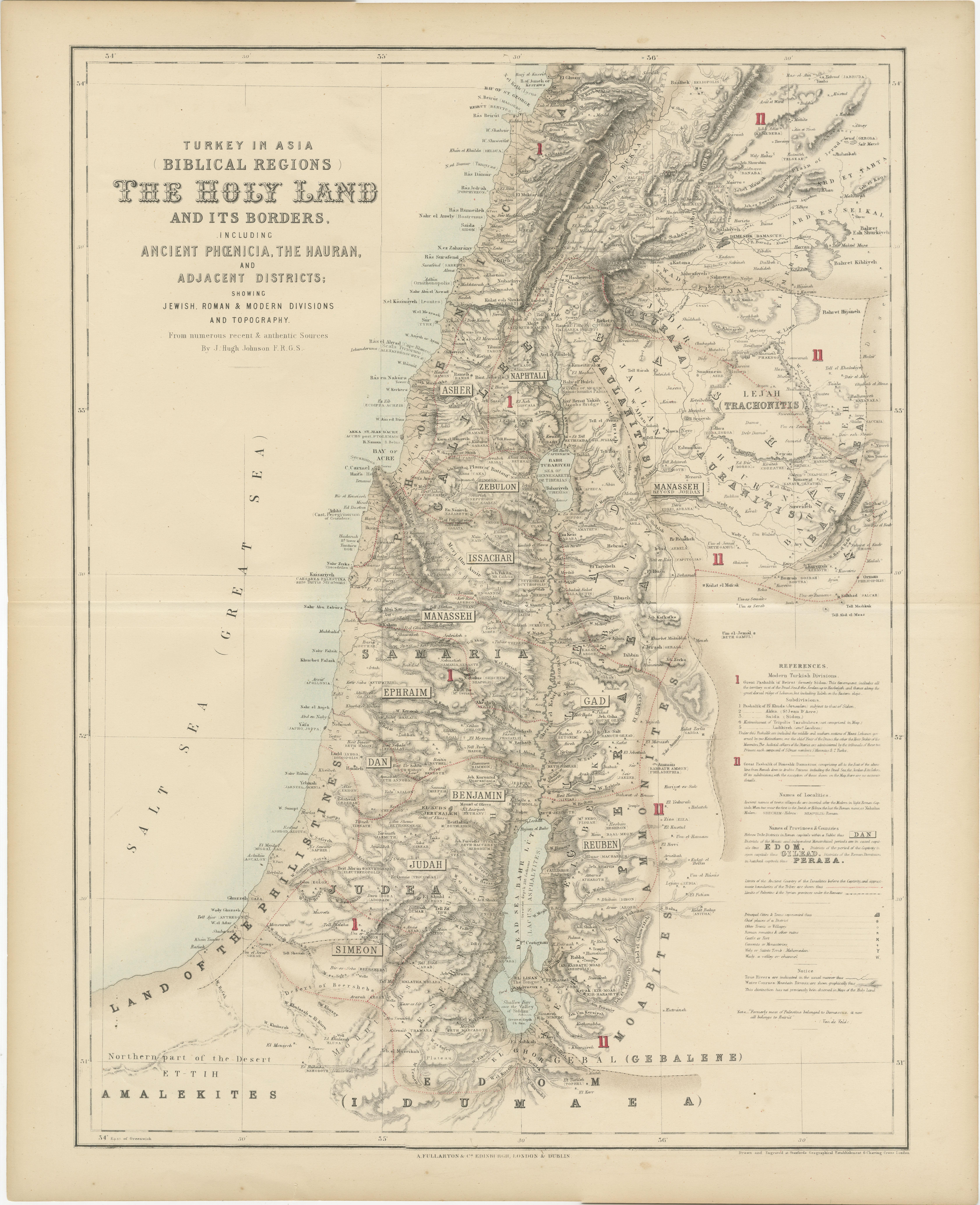
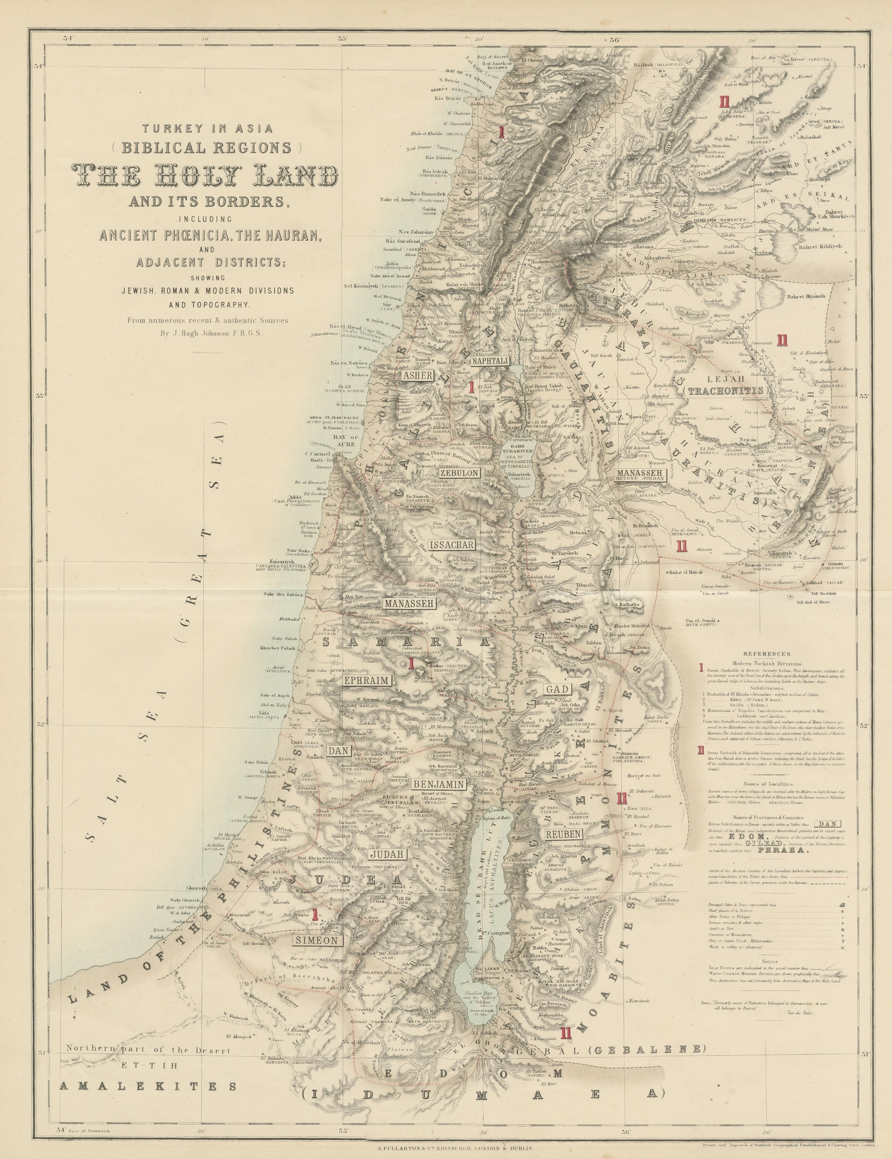
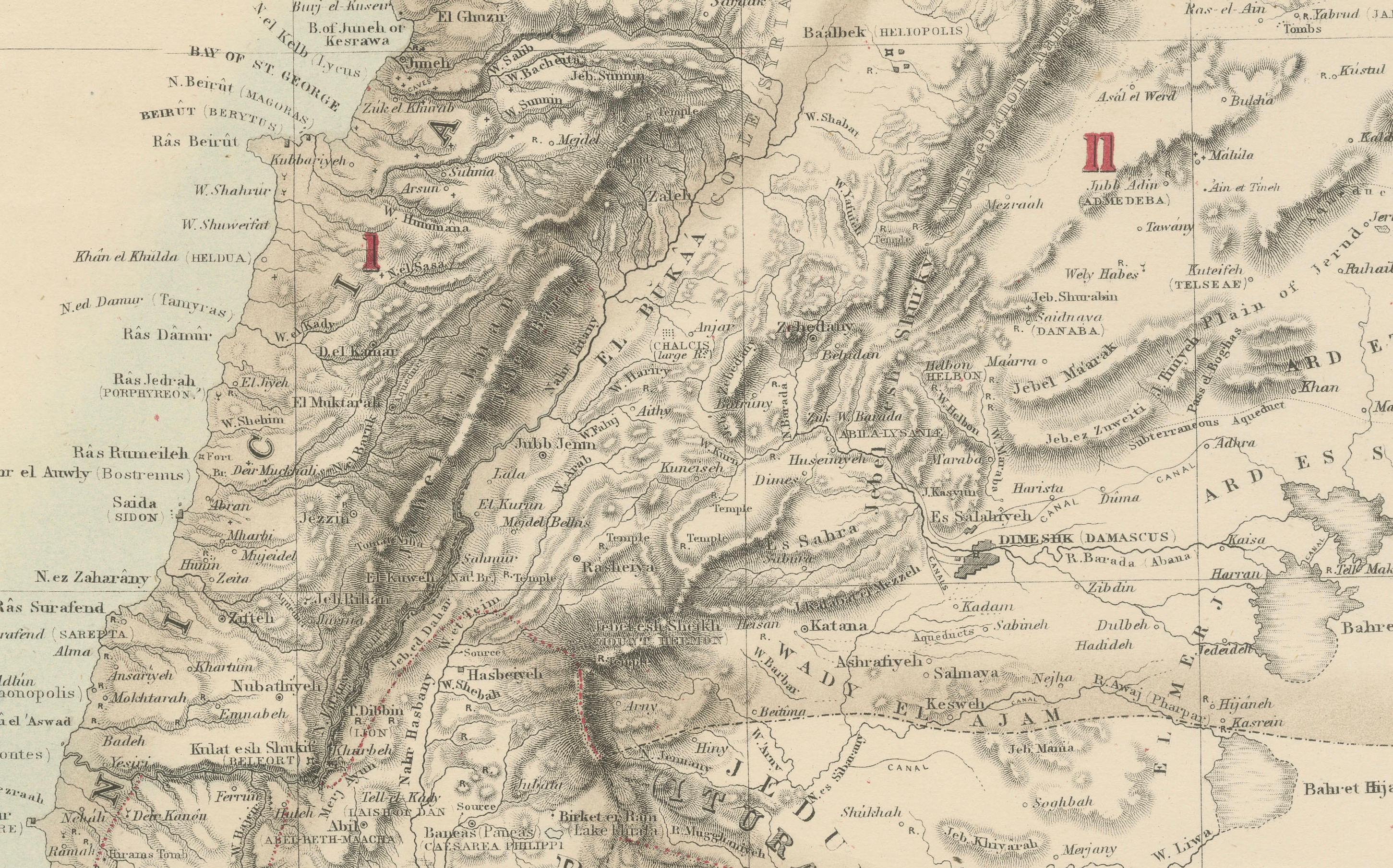
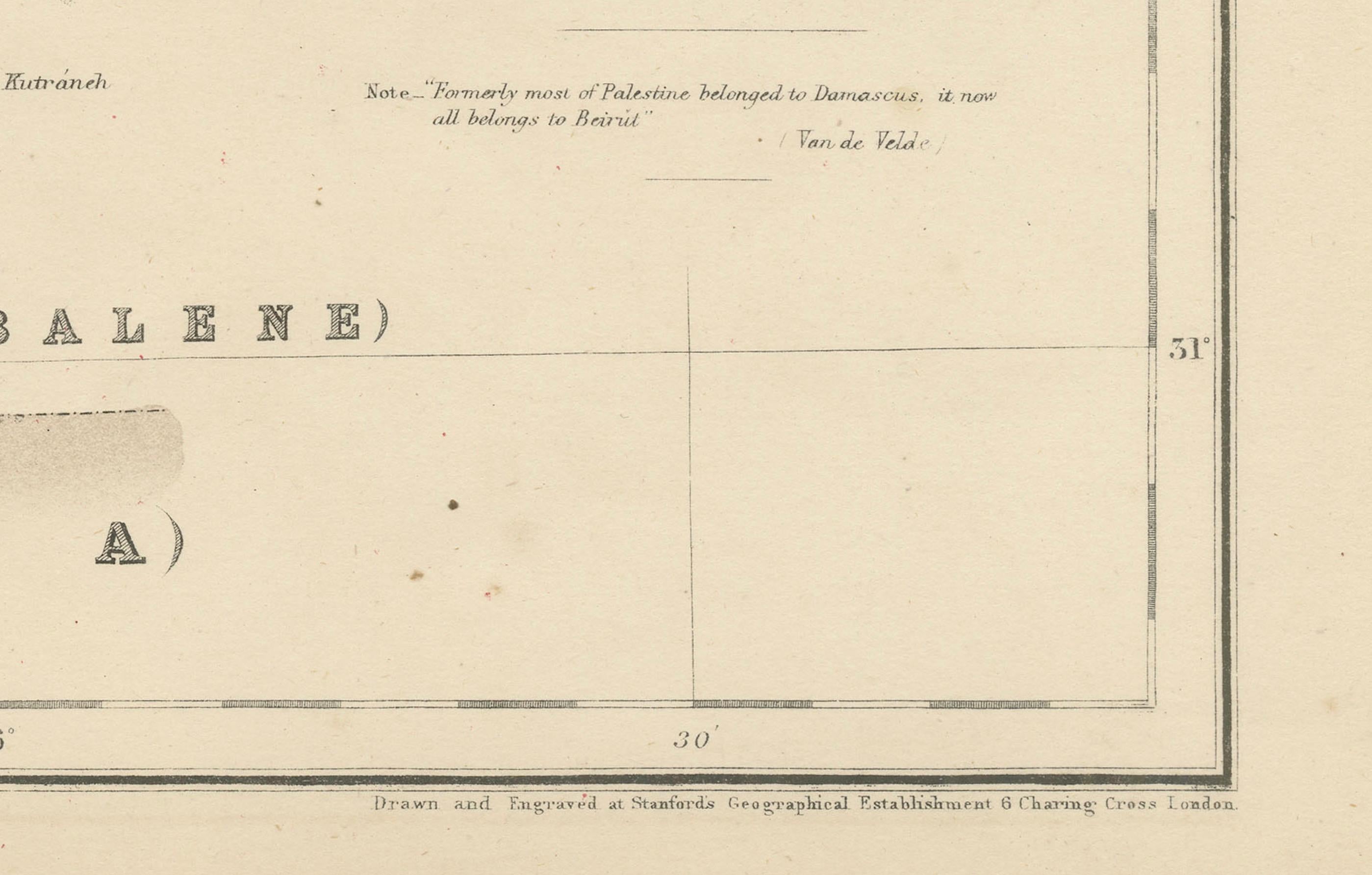
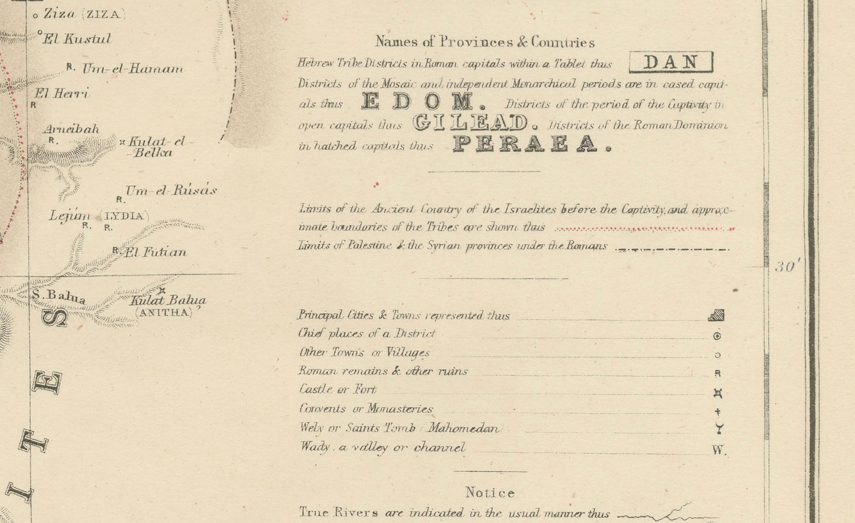
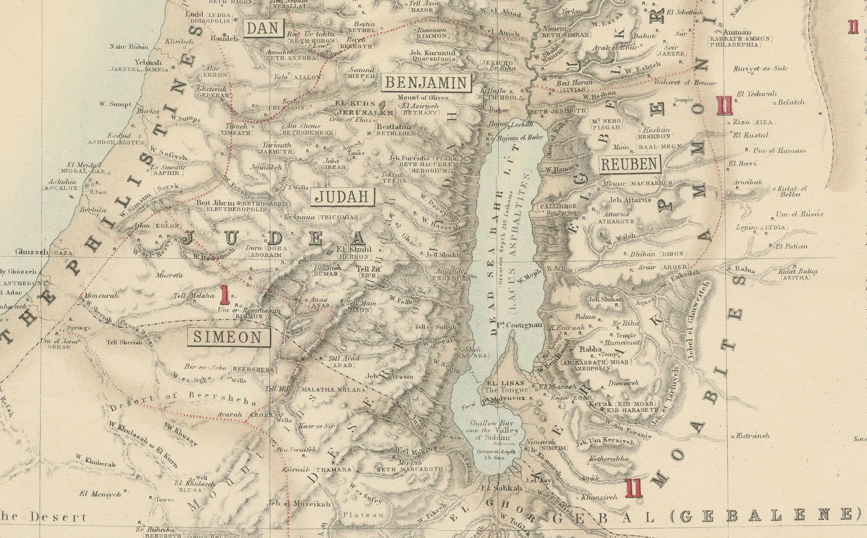
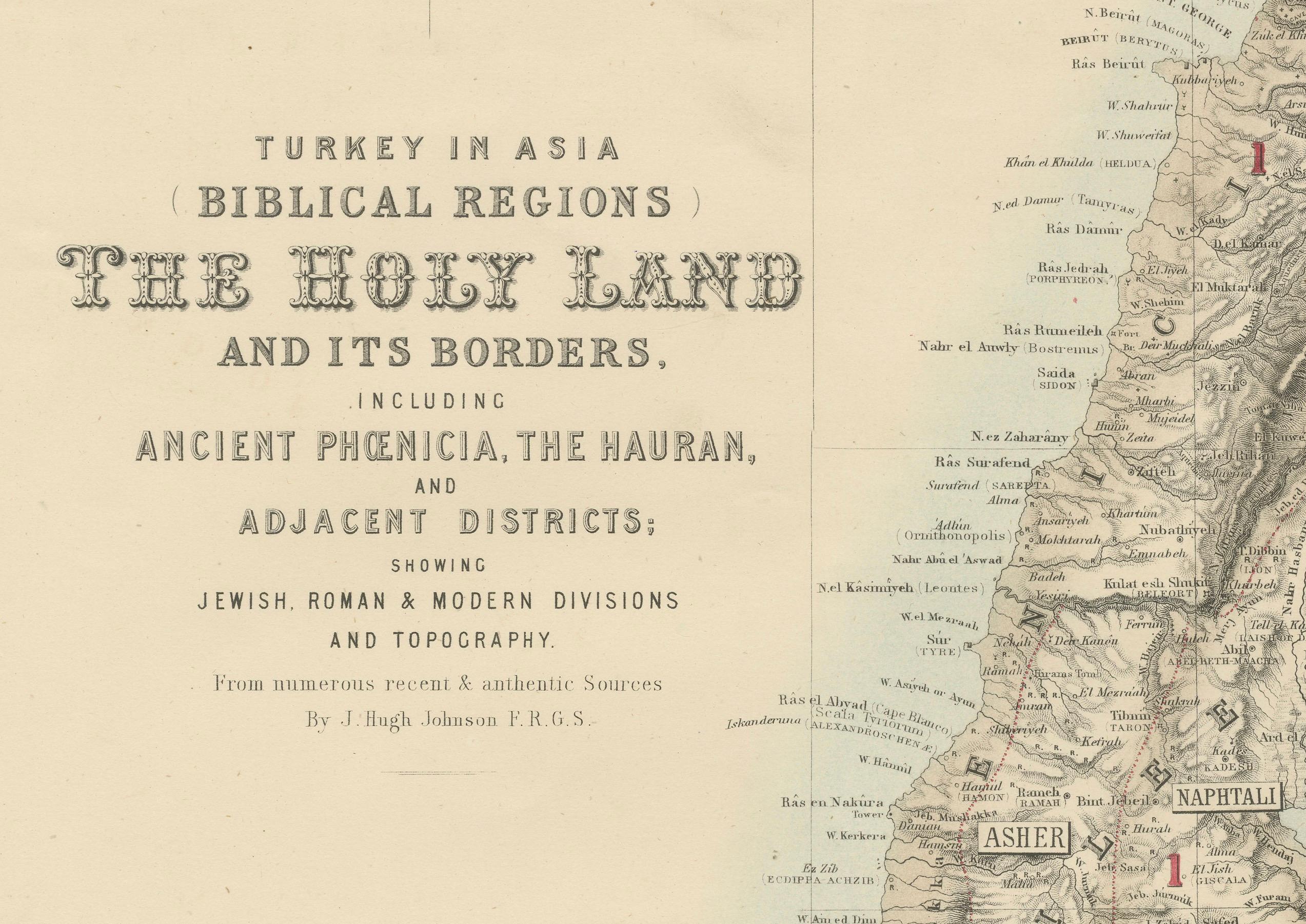
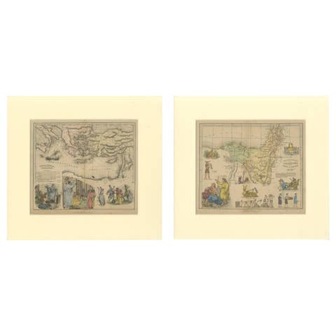
This antique map titled "Turkey in Asia (Biblical Regions) The Holy Land and its Borders" comes from "The Royal Illustrated Atlas", which was published in 1856 by A. Fullarton & Co. The mapmaker, John Bartholomew, was a prominent Scottish cartographer of the 19th century who specialized in both geographical and thematic maps. This map focuses on the Biblical regions of the Holy Land and its borders, including Ancient Phoenicia, The Hauran, and adjacent districts. It provides a detailed representation of the Jewish, Roman, and modern divisions of the land, along with significant topographical features.
The map is presented using lithography, a common mapmaking technique of the time, which allowed for detailed and accurate reproductions. Lithography uses a flat stone or metal plate on which the image is drawn with a greasy substance, enabling mass production of high-quality prints.
This particular map highlights important regions and places relevant to both Biblical and historical contexts. These include: - Jerusalem, marked as a focal point of religious significance. - The Dead Sea (Salt Sea), located to the east. - The Jordan River, running from north to south. - The territories of ancient tribes such as Judah, Benjamin, Ephraim, Manasseh, and Reuben. - Phoenicia, located along the Mediterranean coast in the northwest, where cities like Tyre and Sidon are labeled. - The Land of Edom and Amalekites, south of the Dead Sea.
The map also includes references to Biblical events, with areas divided by the ancient tribal territories of Israel. Additionally, Roman provincial borders and cities are labeled to provide a broader historical context.
This map was created around 1856 and reflects 19th-century European interest in Biblical geography, spurred by religious and archaeological studies of the region. The map served as both a religious and educational tool, showcasing the landscape and political divisions of a historically significant area for European audiences.