
Maps & PrintsBartele Gallery · Langweer
Home / Antique Maps / Europe / Western Europe / United Kingdom & Ireland

United Kingdom & Ireland

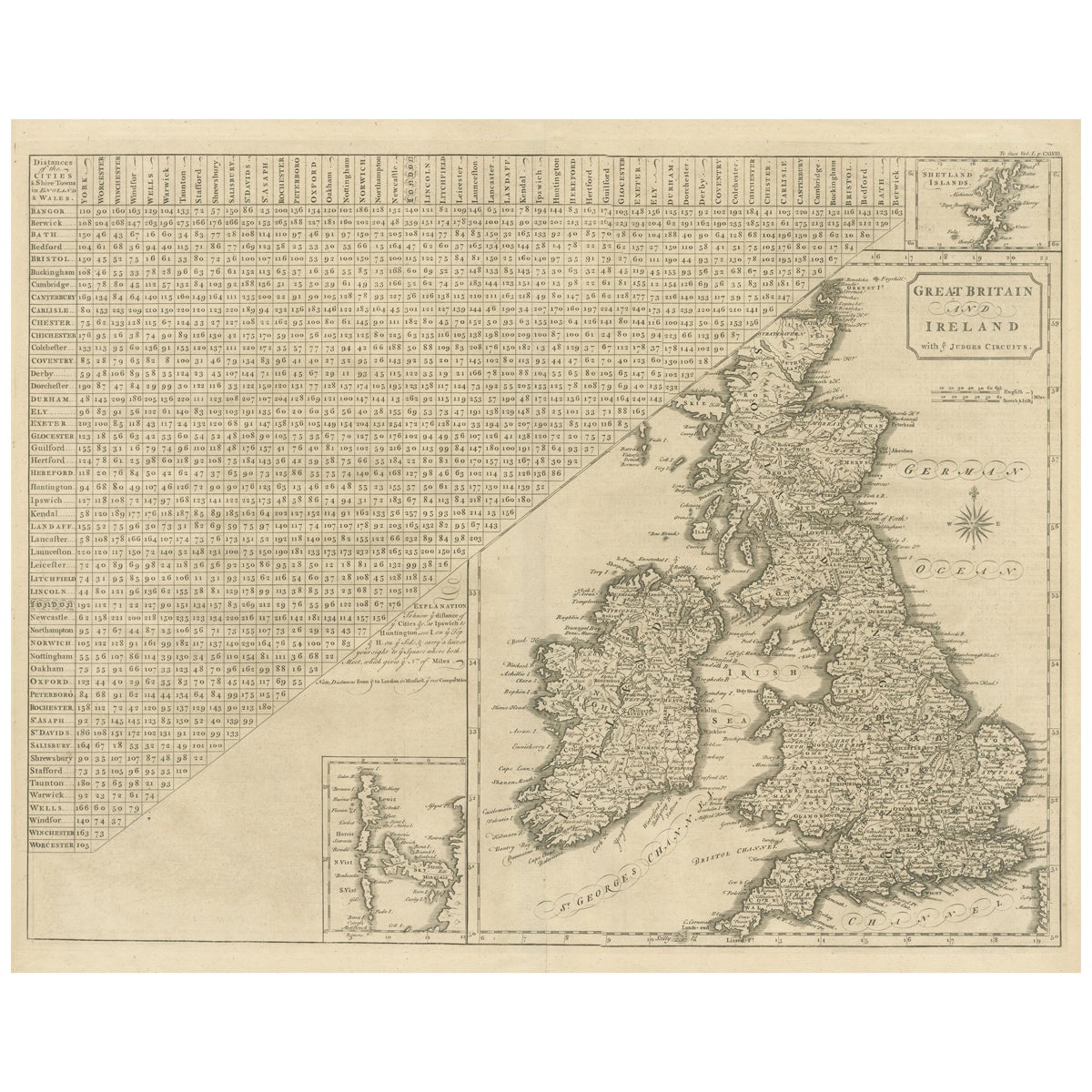

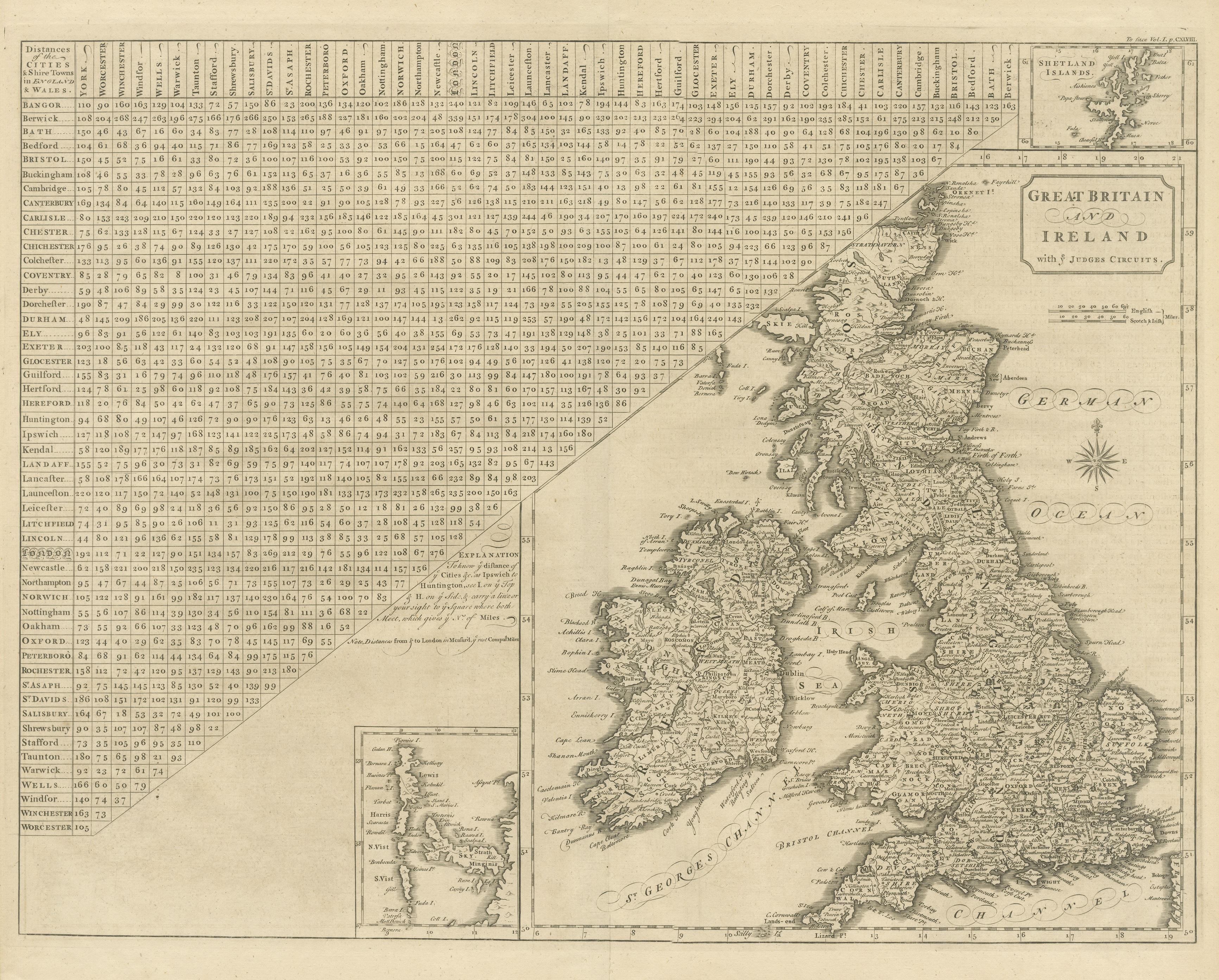
Antique Map of the British Isles, Insets of the Shetland Islands and Hebrides

€ 660

One of a kind: this is the sheet in the photographs. Ships from Langweer, the Netherlands.

Sheet size
42.7 × 49.4 cm (16.8 × 19.4 in)
Condition
Good
Reference
BG-13395-2

Condition

Wear consistent with age and use. General age-related toning. Original folding line, with splits. Shows some wear and a few tiny defects in margins. Blank verso. Please study image carefully.
About this sheet

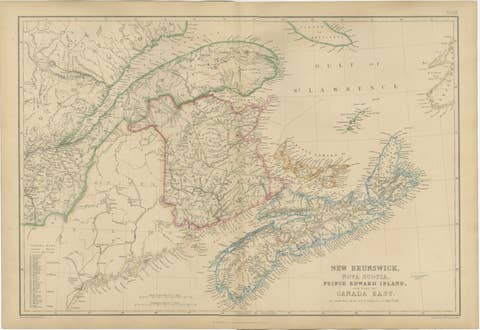
Antique map titled 'Great Britain and Ireland with ye Judges Circuits'. A scarce map of the British Isles, with inset maps of the Shetland Islands and The Hebrides. Large triangular distance chart titled "Distances of the Cities & Shire Towns in England & Wales". Artist assumed to be John Cary. This map originates from "Britannia: or, a chorographical description of the flourishing kingdoms of England, Scotland and Ireland, and the islands adjacent; from the earliest antiquity", by William Camden. Published 1789.

More from United Kingdom & Ireland

Ask about this sheet

Antique Map of the British Isles, Insets of the Shetland Islands and Hebrides
Ref. BG-13395-2 · € 660
We reply by email, usually within one working day.