
Maps & PrintsBartele Gallery · Langweer
Home / Antique Maps / Europe / Western Europe / Germany

Germany

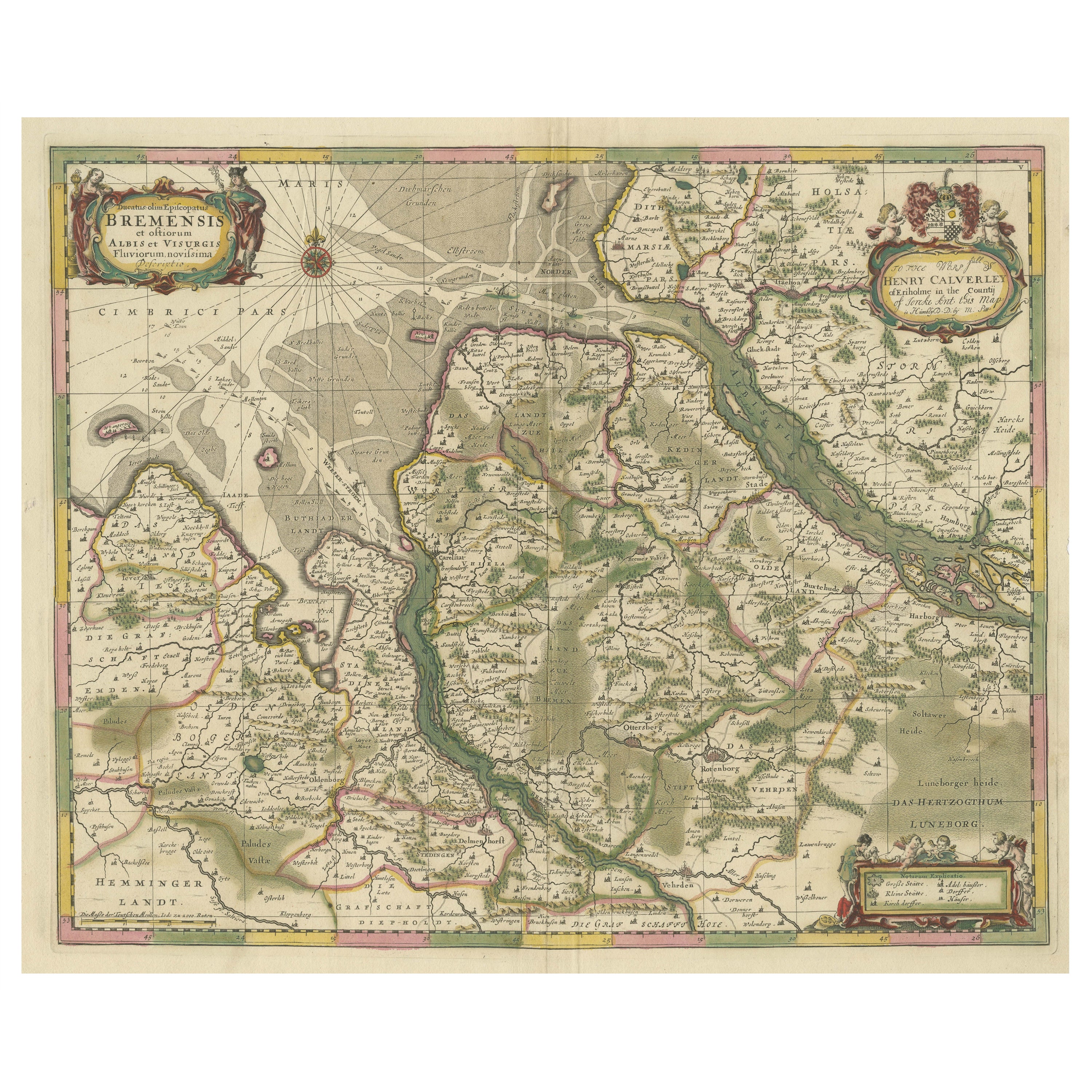

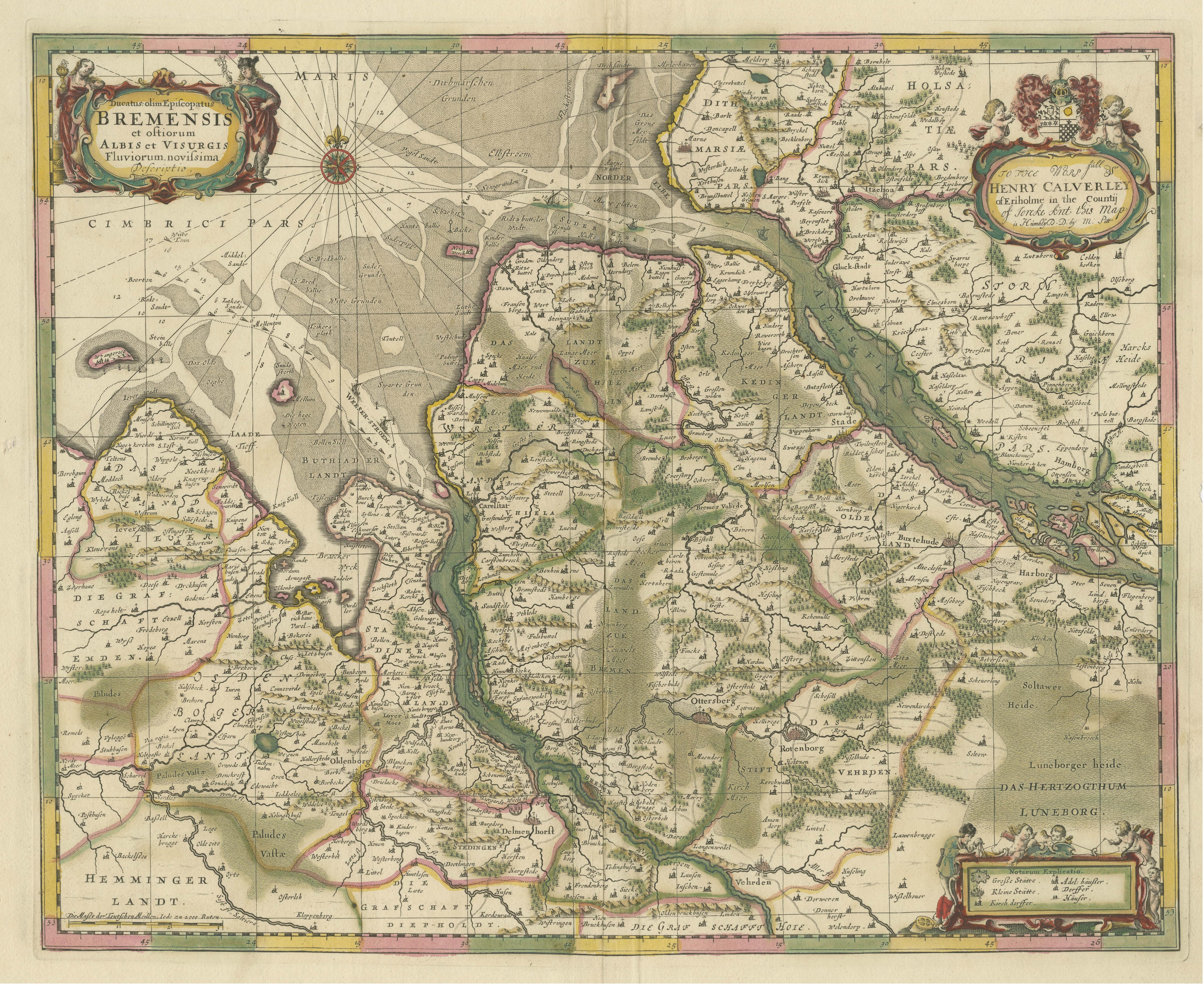
Original Antique Map of the Area of Bremen and Lower Saxony

€ 660

One of a kind: this is the sheet in the photographs. Ships from Langweer, the Netherlands.

Mapmaker / artist
Johannes Janssonius
Sheet size
49.3 × 57.3 cm (19.4 × 22.6 in)
Condition
Fair
Reference
BG-13364-4

Condition

Wear consistent with age and use. Original/contemporary hand coloring. Original folding line, with splits. Defect in right margin. Few closed tears along outline coloring, few small defects still affecting image and margins. Blank verso. Please study image carefully.


About this sheet

Antique map titled 'Ducatus olim Episcopatus Bremensis et ostiorum Albis et Visurgis Fluviorum novissima Descriptio'. Original old map of the area of ??Bremen and Lower Saxony. Uncommon edition by Janssonius, published circa 1644.

Johannes Janssonius (1588, Arnhem – buried July 11, 1664, Amsterdam) was a Dutch cartographer and publisher who lived and worked in Amsterdam.

More from Germany

Ask about this sheet

Original Antique Map of the Area of Bremen and Lower Saxony
Ref. BG-13364-4 · € 660
We reply by email, usually within one working day.





