maps-prints.com
✦
Black Friday Sale
Friday 20 to Monday 30 November: up to 30% off original antique maps and prints
The terms
- Up to 30% off selected original antique maps and prints. Every piece is an original, printed in its own time; none is a reproduction.
- The sale runs from Friday 20 November to Monday 30 November. Sale prices shown here apply from Friday 20 November; until then pieces are sold at their regular price.
- Free FedEx shipping on qualifying orders placed on our own websites: USA, Canada, UK and Europe over $500 / €450; rest of the world over $750 / €675. Smaller orders pay our normal shipping rate.
- Orders placed from 15 to 30 November ship from 1 December, in time for Christmas. Our shipping partner is InXpress.
- Each piece is unique, so the sale is while stock lasts.
Collection:AllAmericanSea chartsMilitaryNatural historyFashionArchitectureBotanicalSacredEast Indies
Sale prices apply from Friday 20 November. Save the pieces you like with the heart and come back on Friday.
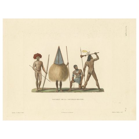 Antique Print of Natives of New Ireland
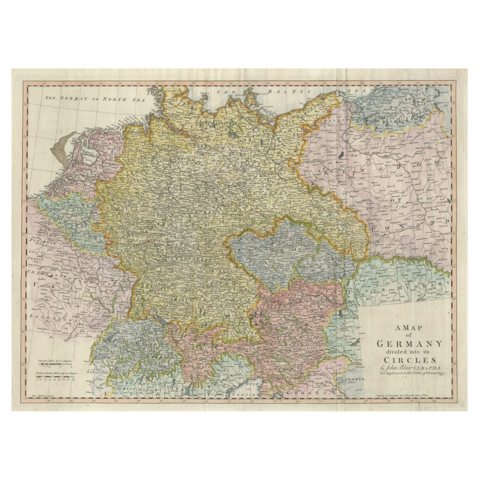 Large Antique Map of the German Empire
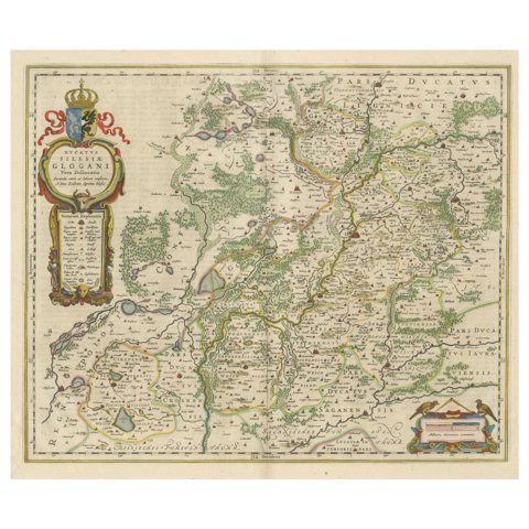 Antique Map of Silesia centered on Glogau
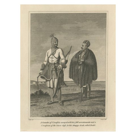 Circassian Grandee and Commoner – An 1800 Etching by Geissler
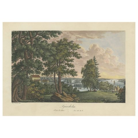 Swedish Grace and Grandeur: The Aquatint Legacy of Ulrik Thersner, 1825
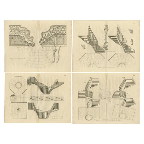 Baroque Elegance: Van der Horst's Staircase Engravings, 1739
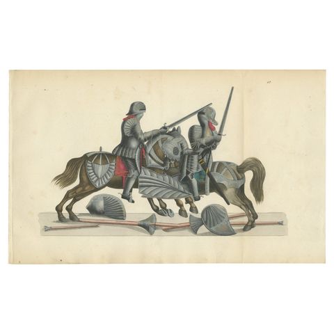 Hand-Coloured Lithograph of Knights in Aftermath of a Broken Lance Duel, 1842
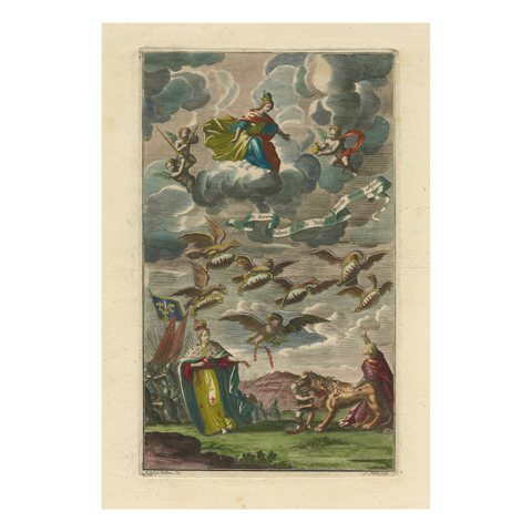 Antique Allegorical Print – Dutch Victory over France, Hand-Coloured, ca.1750
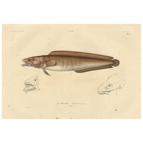 Antique Ichthyology Print – Cusk Fish (Le Brosme) from Gaimard Voyage, 1842
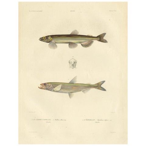 Capelin & Smelt – Antique Ichthyology Print, Greenland, Gaimard Voyage 1842
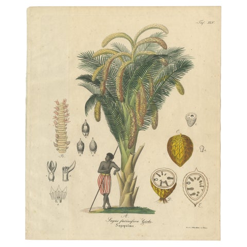 Antique Sago Palm Botanical Print, Copper Engraving, c.1831
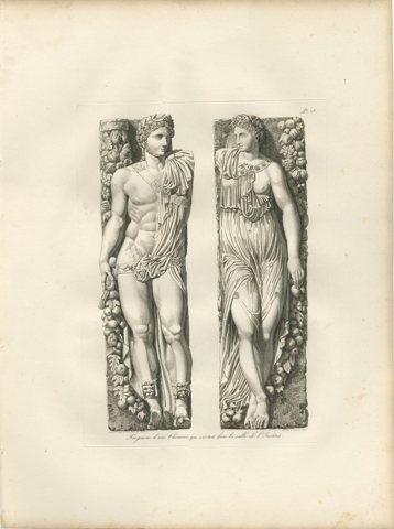 Antique Louvre Sculpture Reliefs Print, Institut Fireplace – Baltard 1803
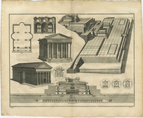 Antique Roman Temple Architecture & Archaeological Plan – Montfaucon, 1721
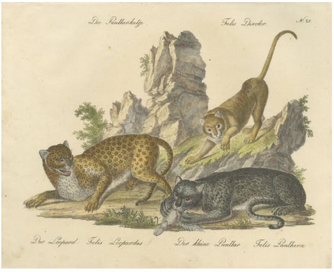 Antique Leopard & Panther Lithograph by Karl Joseph Brodtmann, 1816
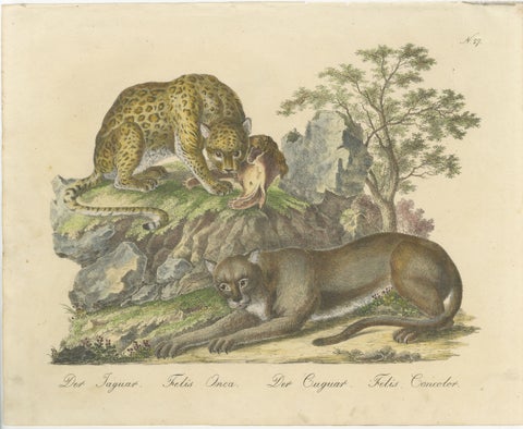 Antique Jaguar & Cougar Lithograph by Karl Joseph Brodtmann, 1816
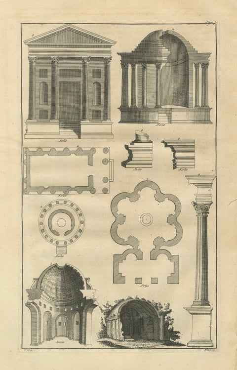 Antique Neoclassical Architecture Engraving by Montfaucon, 1721
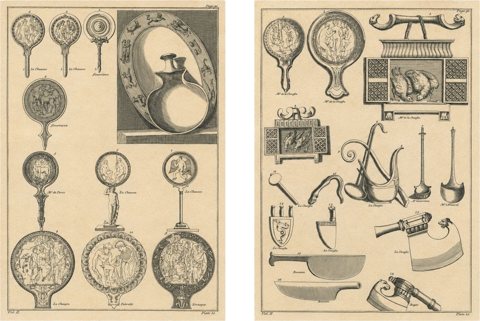 Pair of Roman Antiquities & Classical Bronze Objects Engravings, 1721
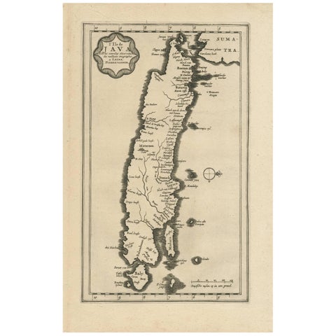 Antique Map of the Island of Java, Indonesia by P. Van Der Aa, 1713
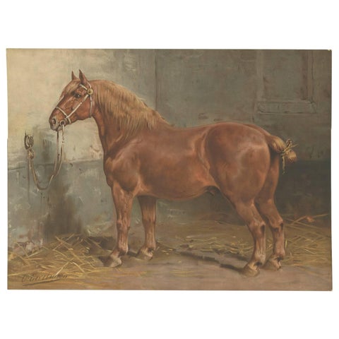 Antique Print of the Suffolk Horse by O. Eerelman, 1898
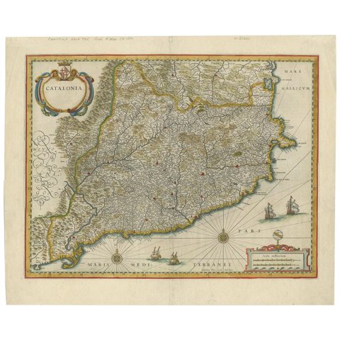 Antique Map of Catalonia by Blaeu, circa 1650
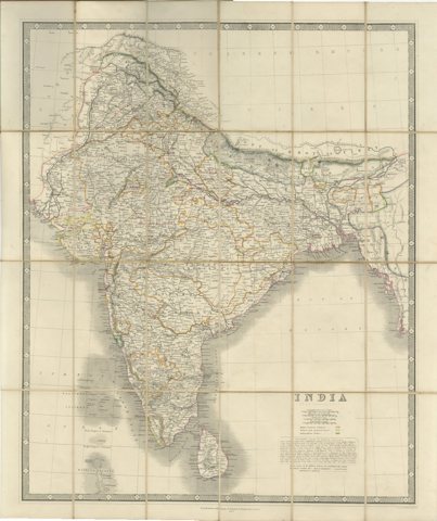 Johnston's Travelling Map of India on Linen in Original Cloth, 1857
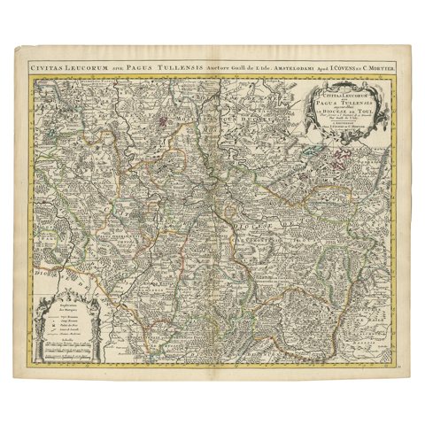 Antique Map of the Diocese of Toul by Covens & Mortier, circa 1720
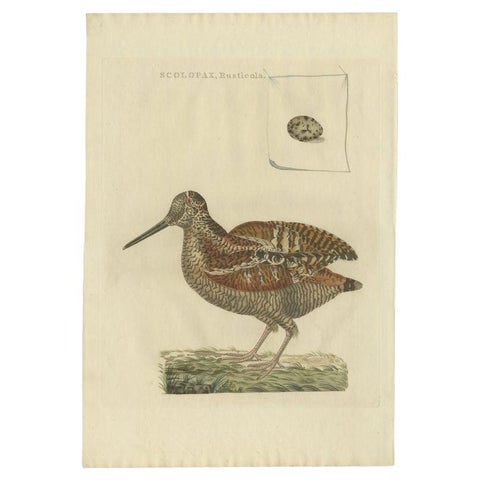 Antique Bird Print of the Eurasian Woodcock by Sepp & Nozeman, 1797
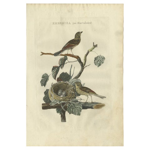 Ortolan Bunting – Antique Dutch Bird Print by Sepp & Nozeman, 1789
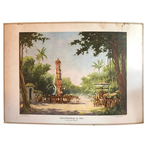 Collection of 5 Vintage School-Charts of Indonesia, Incl Bali Ritual Cremation
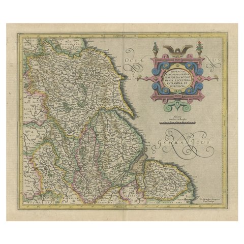 Decorative Early Hand-Colored Map of the Northeast of England, ca.1620
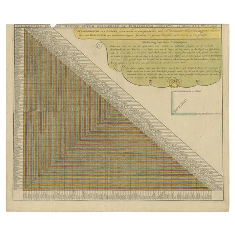 Unusual Chart Showing Traveling Distances Between European Cities, C.1726
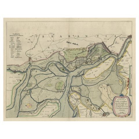 Original Map of the Military Situation After the Dutch Blockade of Antwerp, 1648
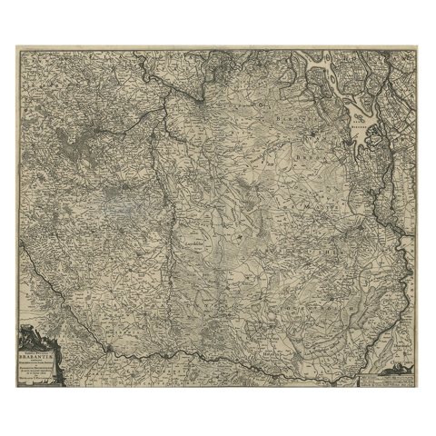 Detailed Map of the South of the The Netherlands & The North of Belgium, ca.1680
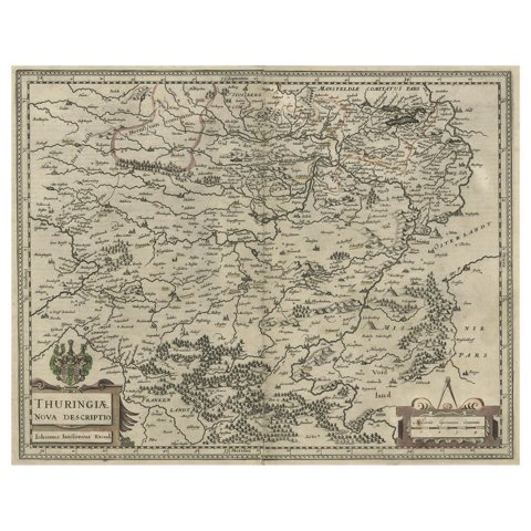 Detailed Original Antique Map of Thuringia, Germany by J. Janssonius, ca.1650
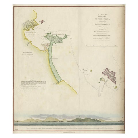 Map of the Vietnamese Coast, Centered on Turon Harbor 'Da Nang Area', 1796
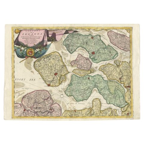 Antique Map of the Province of Zeeland, The Netherlands by Coronelli, 1692
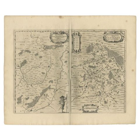 Antique Map of the Region of Vermandois and Cappelle, France by Janssonius, 1657
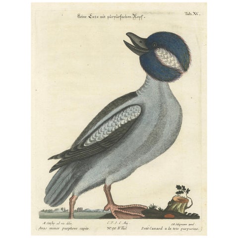 Hand-Colored Engraving of the Little Duck with a Purple Head by Seligmann, c1770
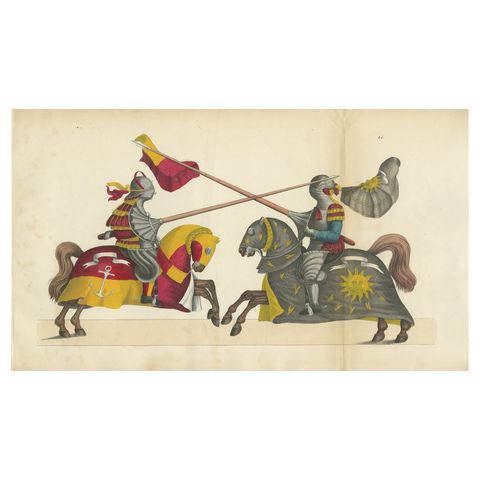 1842 Hand-Coloured Lithograph: Two Knights Jousting in Vibrant Heraldic Colours
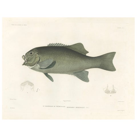 Antique Print of Fréminville’s Reef Fish – Hand-Colored French Lithograph, 1846
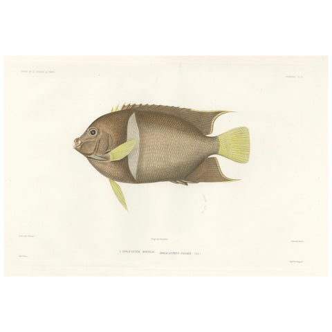 Antique Print of the King Angelfish – Hand-Colored French Lithograph, 1845
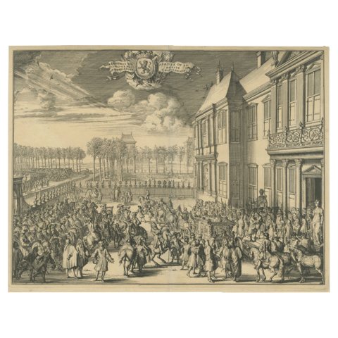 His Majesty’s Arrival at Honselaarsdijk – Grand Procession Engraving c.1690
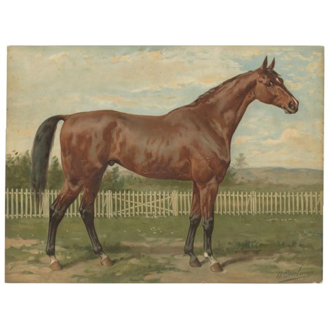 Antique Thoroughbred Horse Portrait, Pur Sang Equestrian Lithograph, ca.1898
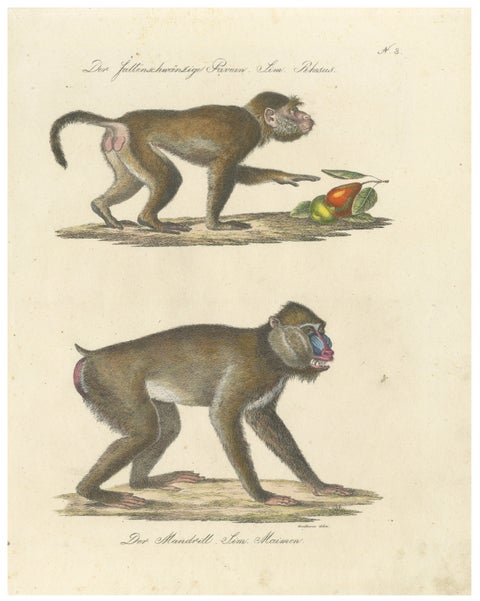 Antique Mandrill & Baboon Lithograph by Karl Joseph Brodtmann, 1816
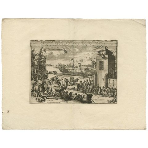 Antique Print of Turkish Slavery and Jail by P. van der Aa, circa 1725
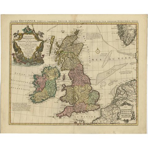 Antique Map 'Colored Cartouches' of the British Isles by Covens & Mortier ‘1761’
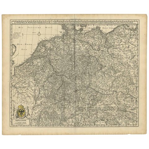 Germany & Bordering Kingdoms Map – N. Visscher, c.1680 Antique Engraving
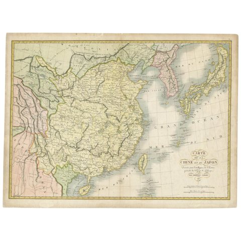 Antique Map of China and Japan by Tardieu, 1821
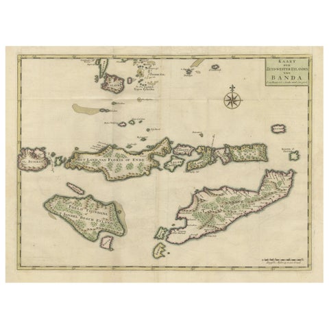 Old Antique Map of the Sumbawa, Flores, Timor in the Banda Region of Indonesia
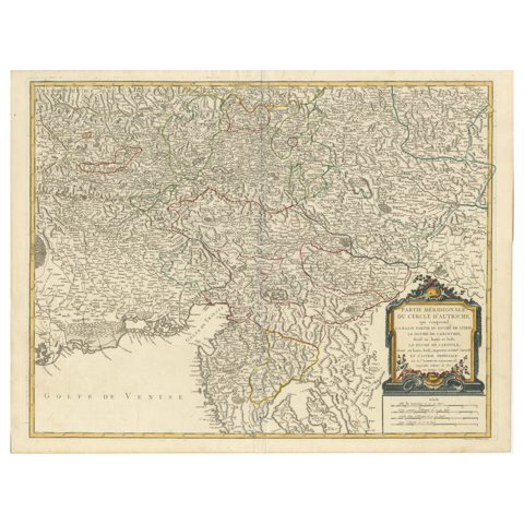 Original 18th-Century Map of Southern Austria, Carinthia, Carniola, and Styria
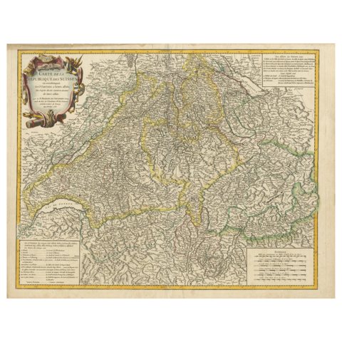 18th-Century Map of the Swiss Confederation by Robert de Vaugondy
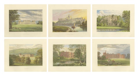 Victorian Country House Views – Harewood, Chatsworth, Windsor Castle, ca.1850
Sharing the sale? Download the Black Friday banners.