About this sheet
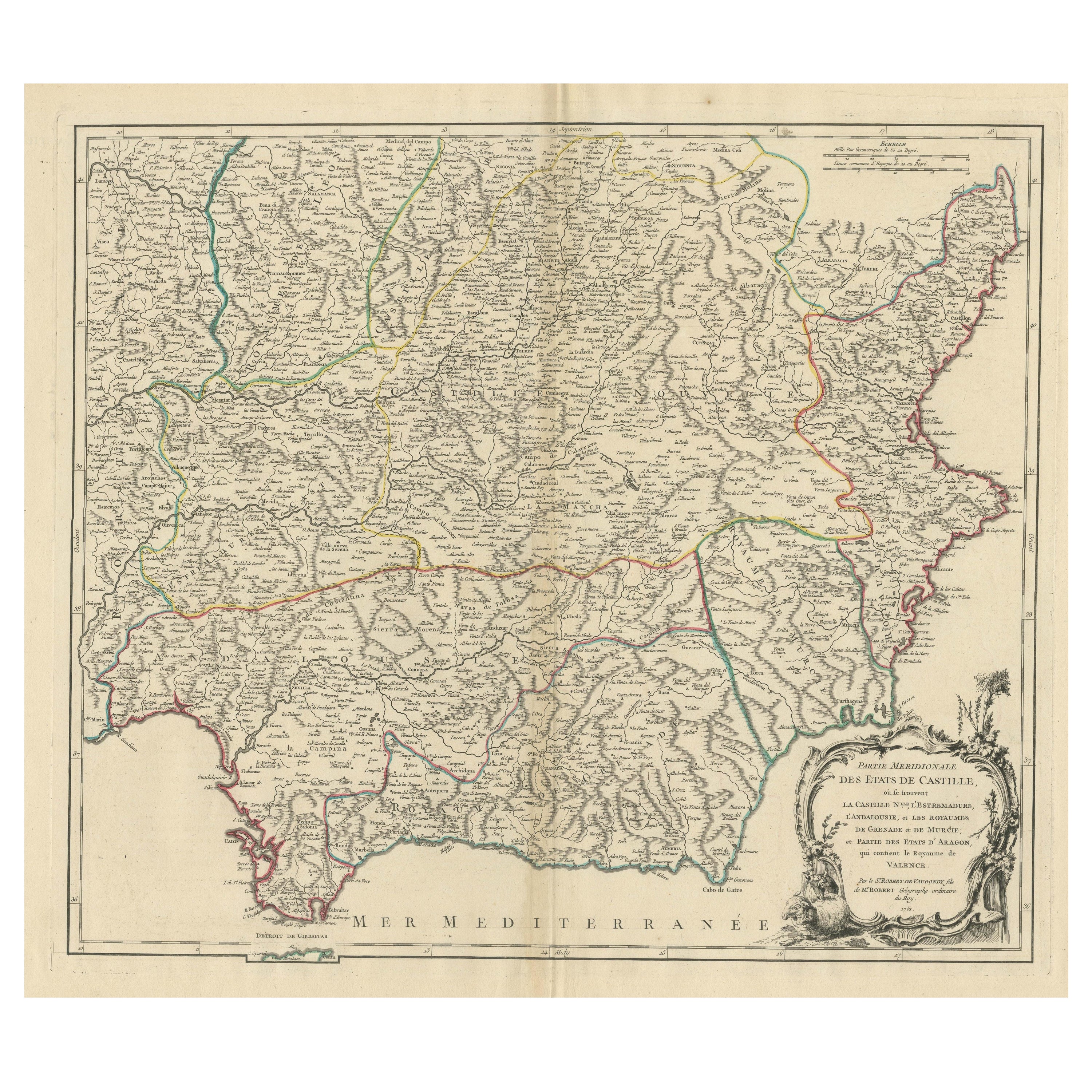

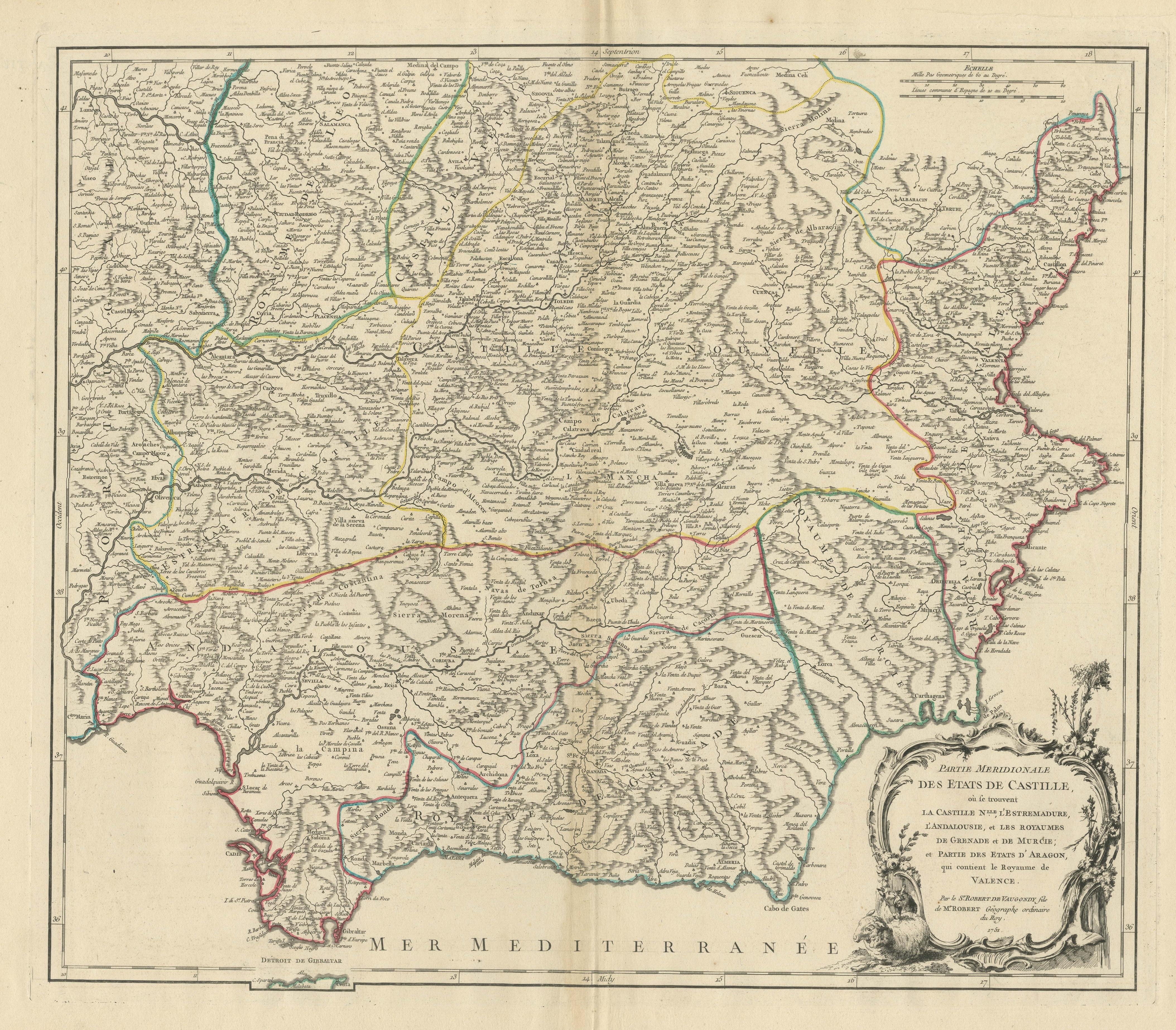
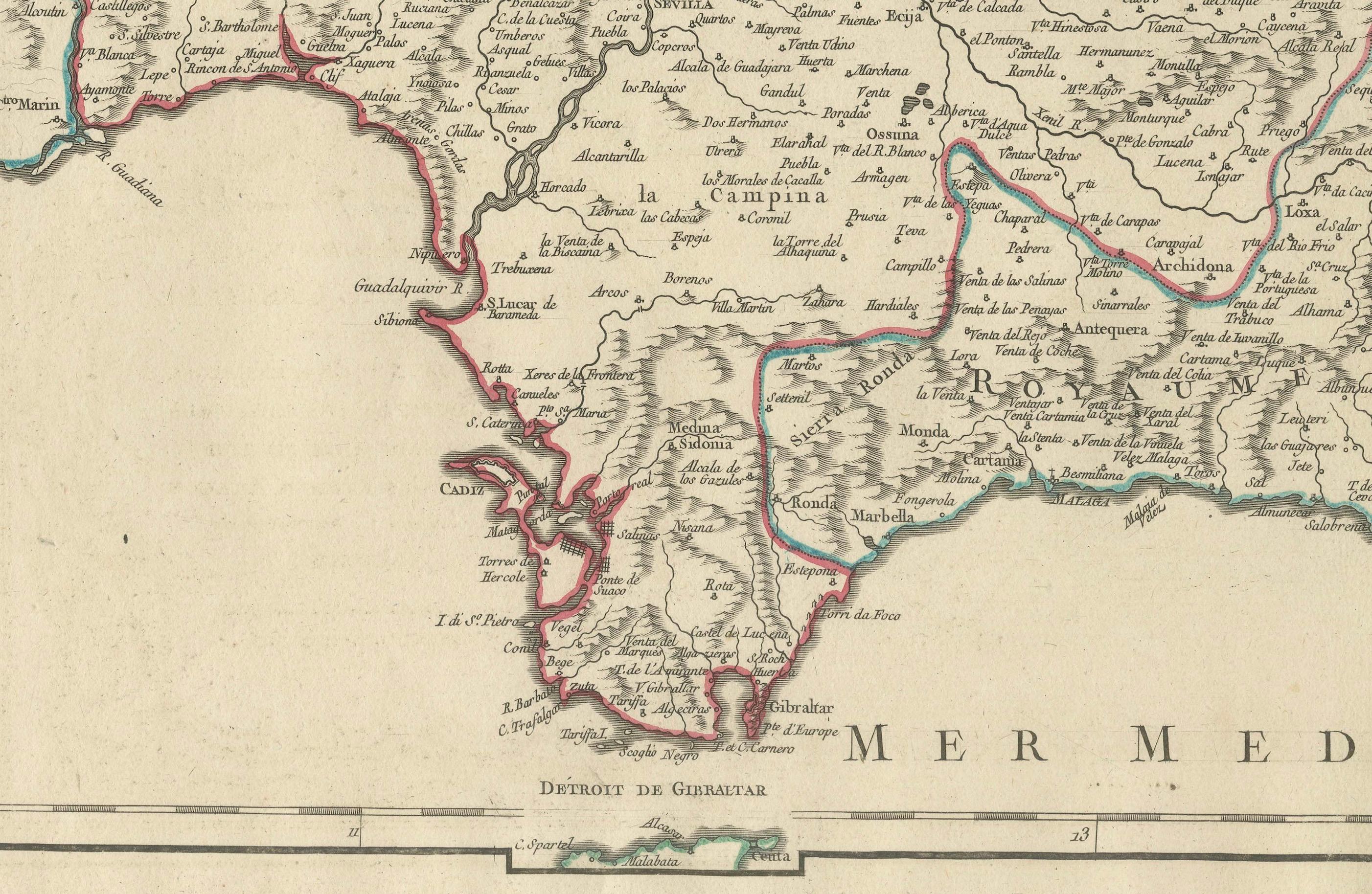
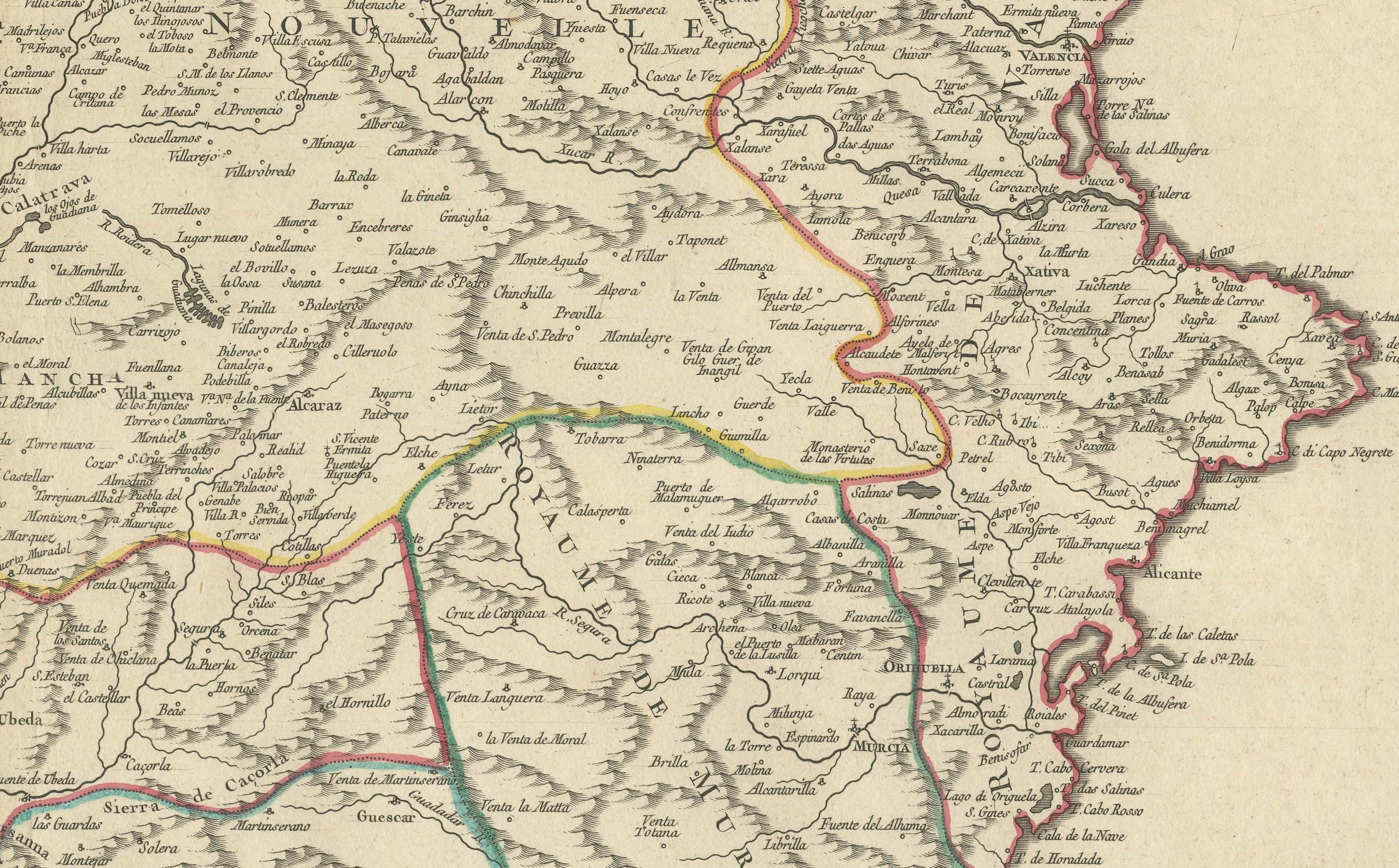
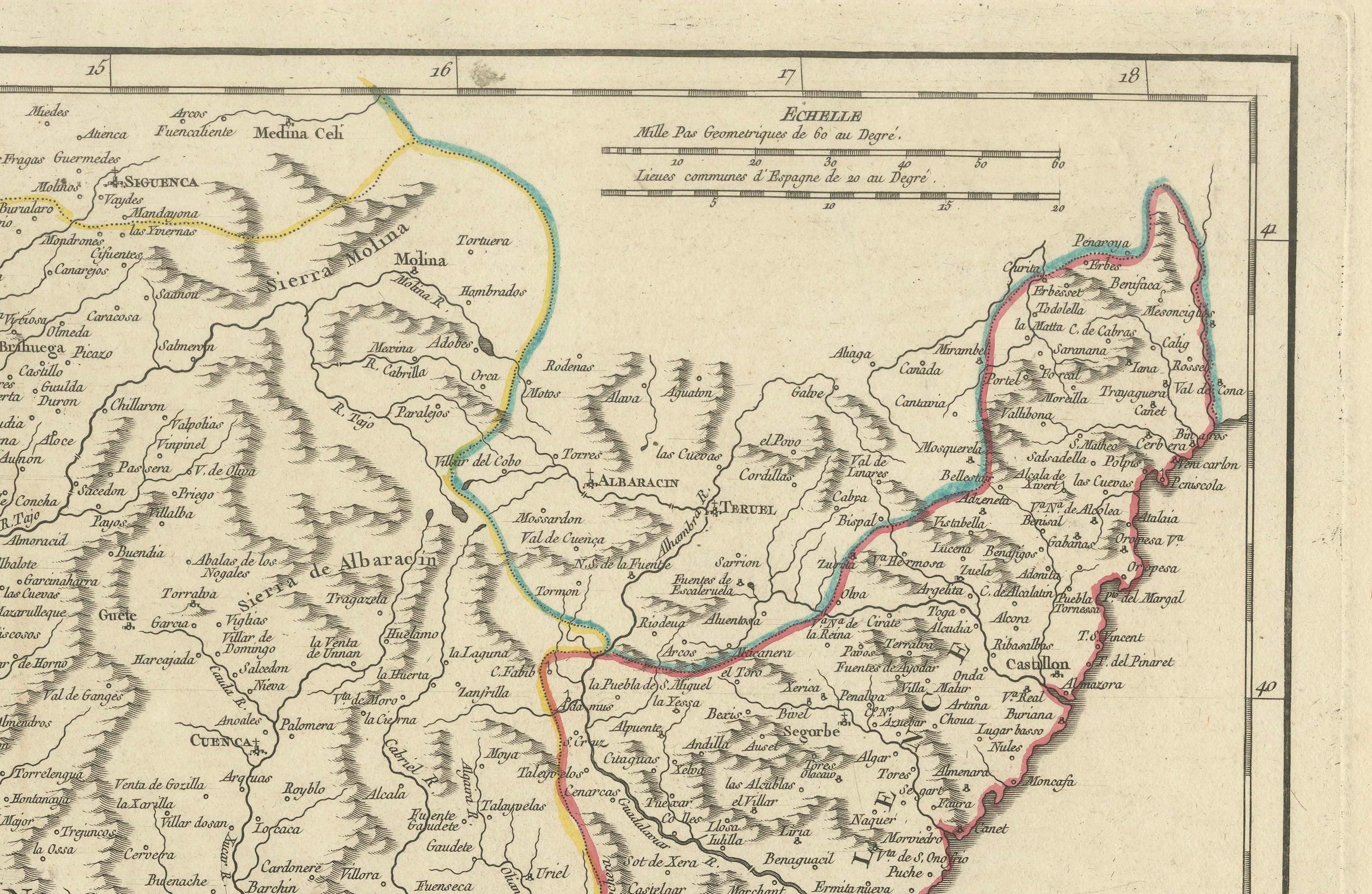
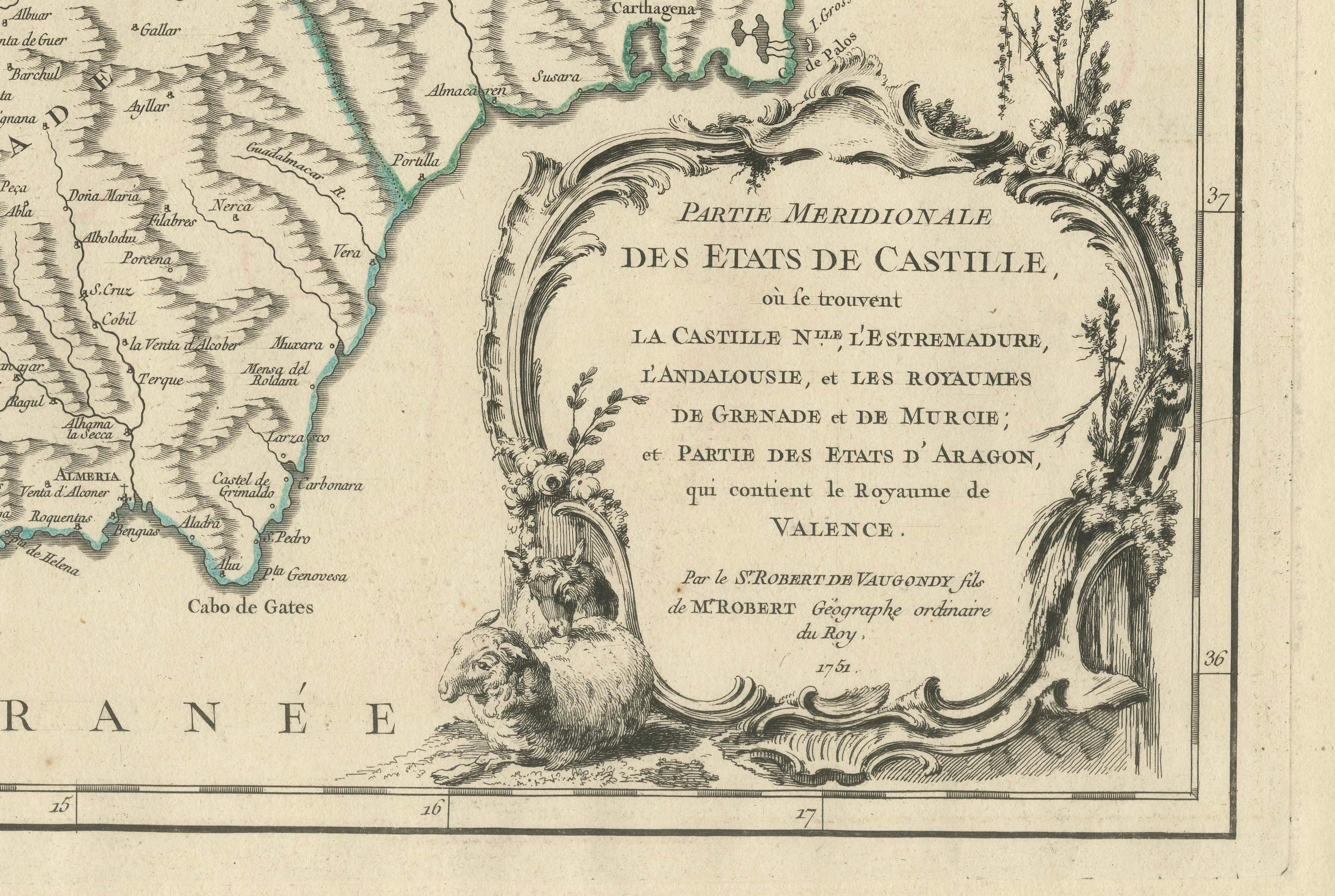
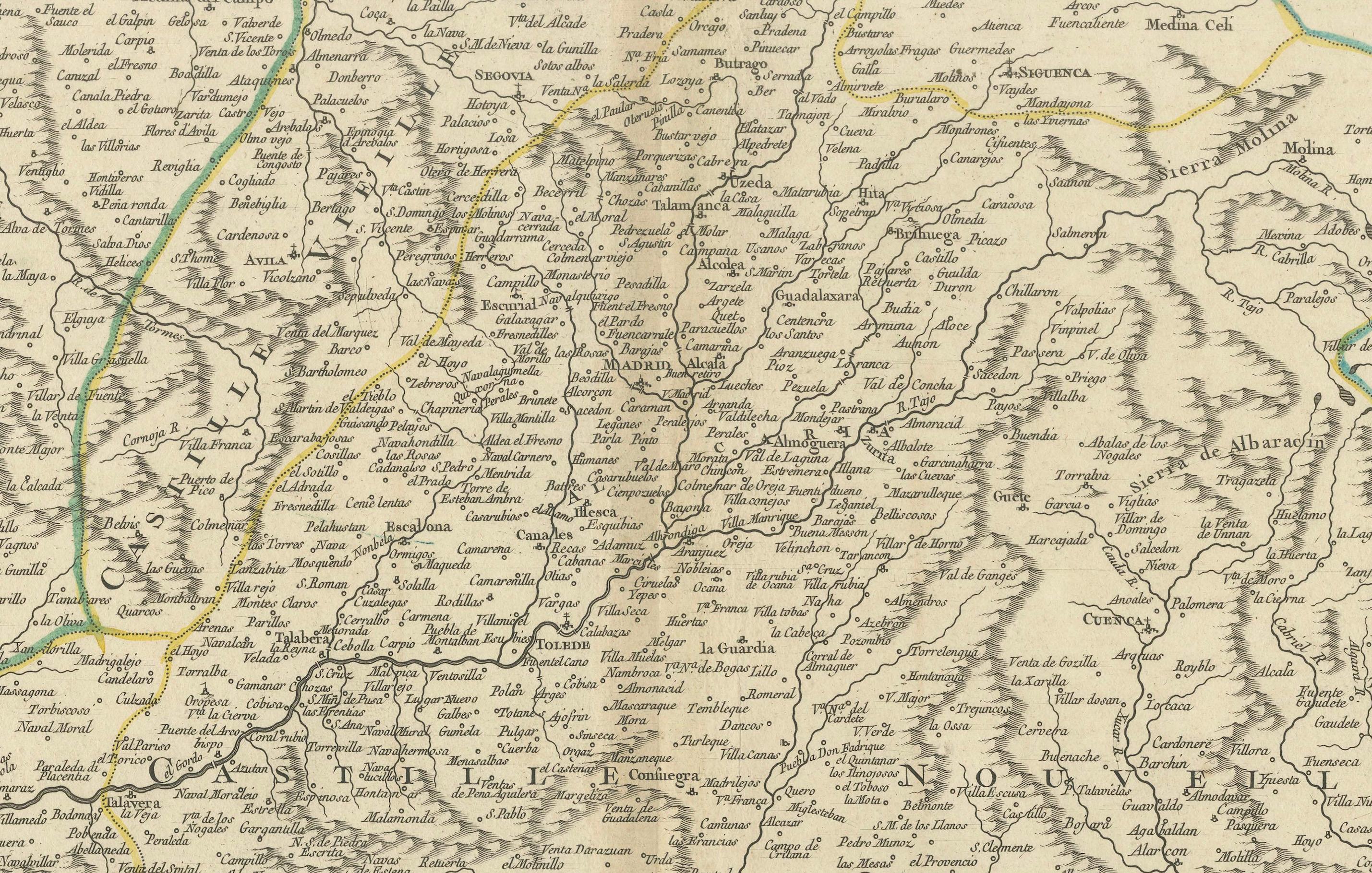
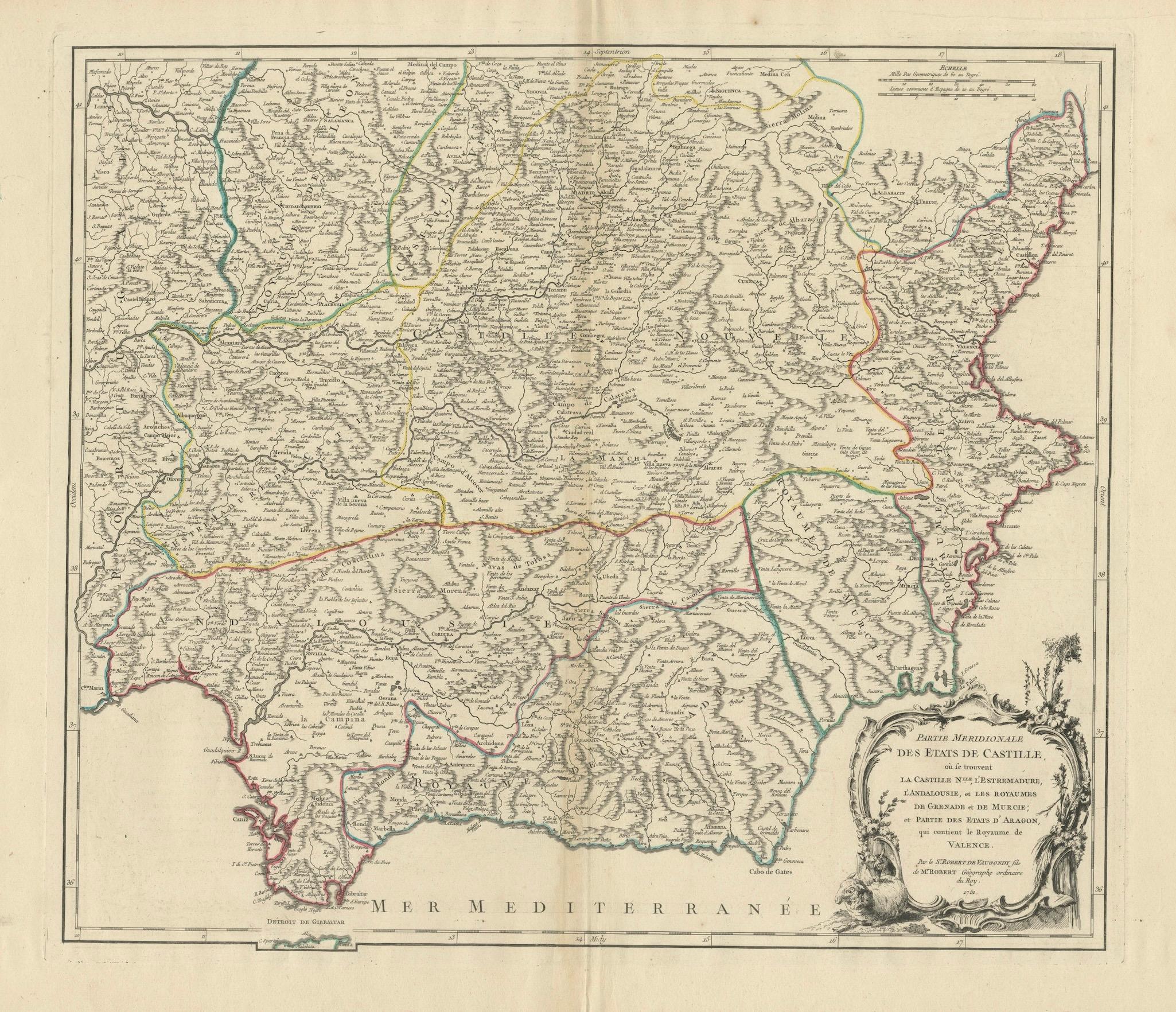
Antique map titled 'Partie Meridionale Des Etats de Castille (..)'. Decorative and highly detailed map of the southern part of Castile, Spain, including a decorative cartouche. Published R. Vaugondy, circa 1751.
This historical map, titled *"Partie Méridionale des États de Castille"*, was created in 1751 by the acclaimed French cartographer Robert de Vaugondy. The map details the southern part of Spain, highlighting the regions historically recognized as New Castile, Estremadura, Andalusia, and the Kingdoms of Granada, Murcia, and parts of the Kingdom of Valencia. This map is part of a comprehensive series illustrating the various regions of Spain during the 18th century.
Notable Features:
- **Cartographer:** Robert de Vaugondy, a prominent French geographer, is known for his meticulously accurate maps. He was appointed the official cartographer to the King of France and is celebrated for his detailed representations of European geography during the 18th century.
- Important Places:
- **Madrid** (central to the map, serving as the heart of New Castile and the capital of Spain).
- **Toledo** (an ancient city, rich in history, located south of Madrid).
- **Seville** (a key city in Andalusia, known for its historical and cultural significance, including the Giralda and the Cathedral of Seville).
- **Granada** (home to the Alhambra, this city was the last stronghold of the Moors in Spain).
- **Murcia** (an important city in the southeast, known for its baroque architecture and the Segura River).
- **Valencia** (featured prominently along the Mediterranean coast, renowned for its port and the Silk Exchange, a UNESCO World Heritage site).
- **Cádiz** (situated on the southwestern coast, it is one of the oldest continuously inhabited cities in Western Europe).
- **Gibraltar** (depicted near the southern tip, a strategically important location commanding access to the Mediterranean).
Map Details:
- **Scale:** The map includes a detailed scale bar, allowing for accurate distance measurement.
- **Borders:** Each region is clearly delineated with color-coded borders, making it easy to distinguish between the various historical kingdoms and regions.
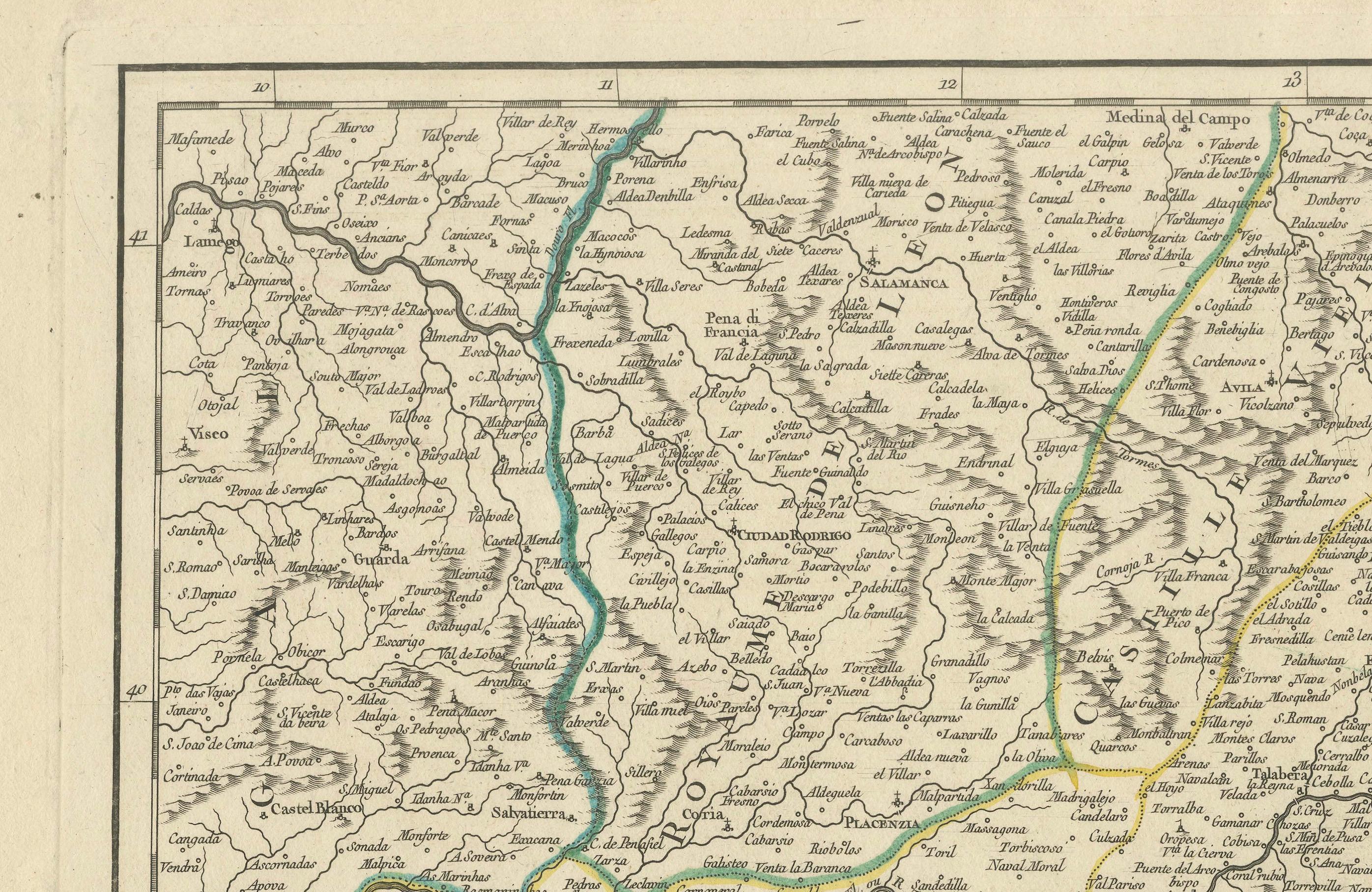
- **Geographical Features:** The map offers a detailed portrayal of the mountainous regions, river systems, and the extensive coastline along the Mediterranean Sea and the Atlantic Ocean.
This map is not only an invaluable tool for historical reference but also a work of art, reflecting the geographical understanding and political boundaries of southern Spain in the mid-18th century. It is an essential addition to any collection focused on the history of European cartography or Spanish history.
Gilles Robert de Vaugondy (1688-1766) and his son Didier Robert de Vaugondy (1723-1786) were leading cartographers in France during the 18th century. They served both as geographer to the king of France. The father, Gilles is also known as ‘Le Sieur’ or ‘Monsieur Robert’. He descended from the Nicolas Sanson family through Sanson's grandson Pierre Moulard-Sanson, from whom he inherited Sanson's cartographic material. After Hubert Jaillot died in 1712, the Vaugondy's acquired numerous copies of his maps and plates, which formed the basis of their beautiful Atlas Universel (1757).