About this sheet
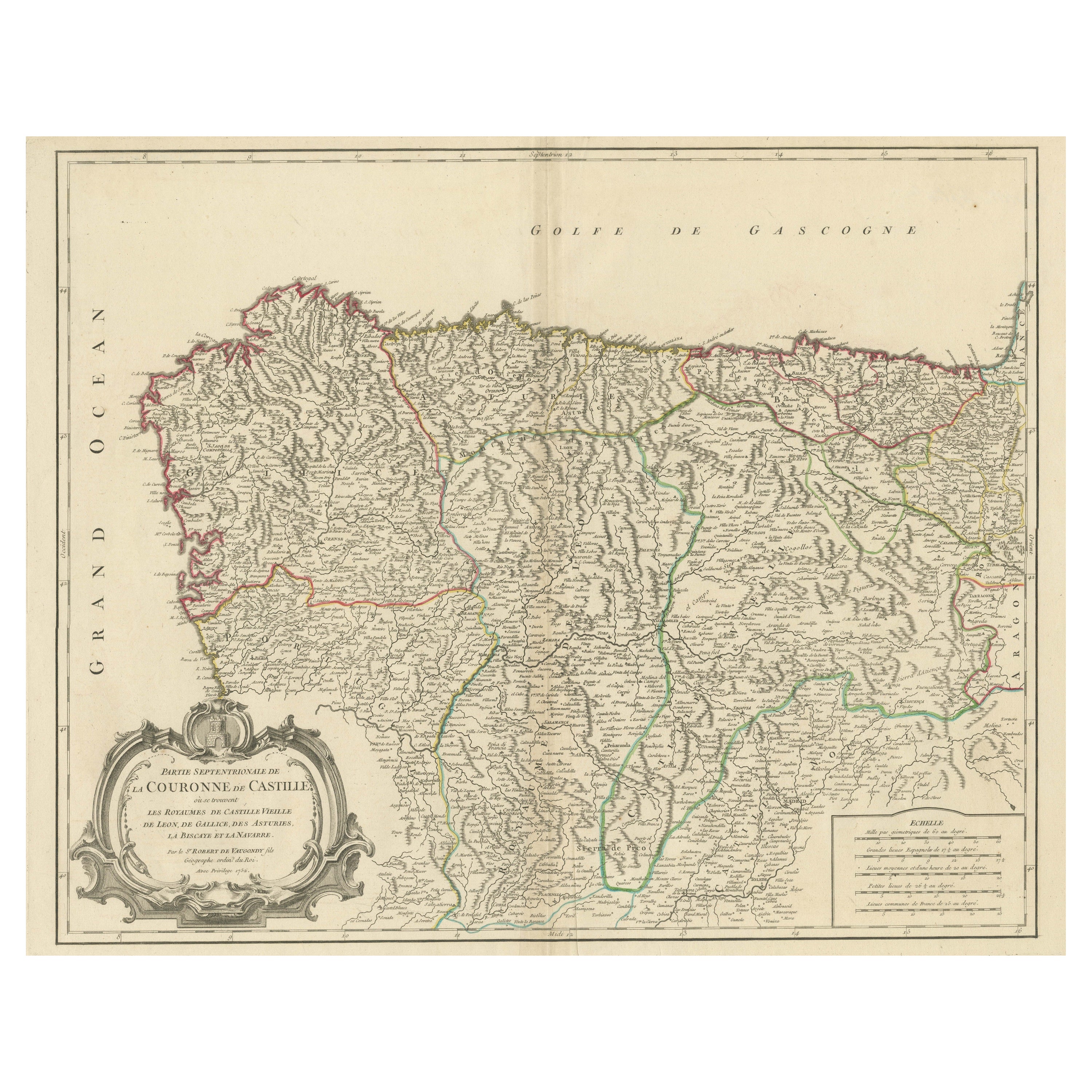

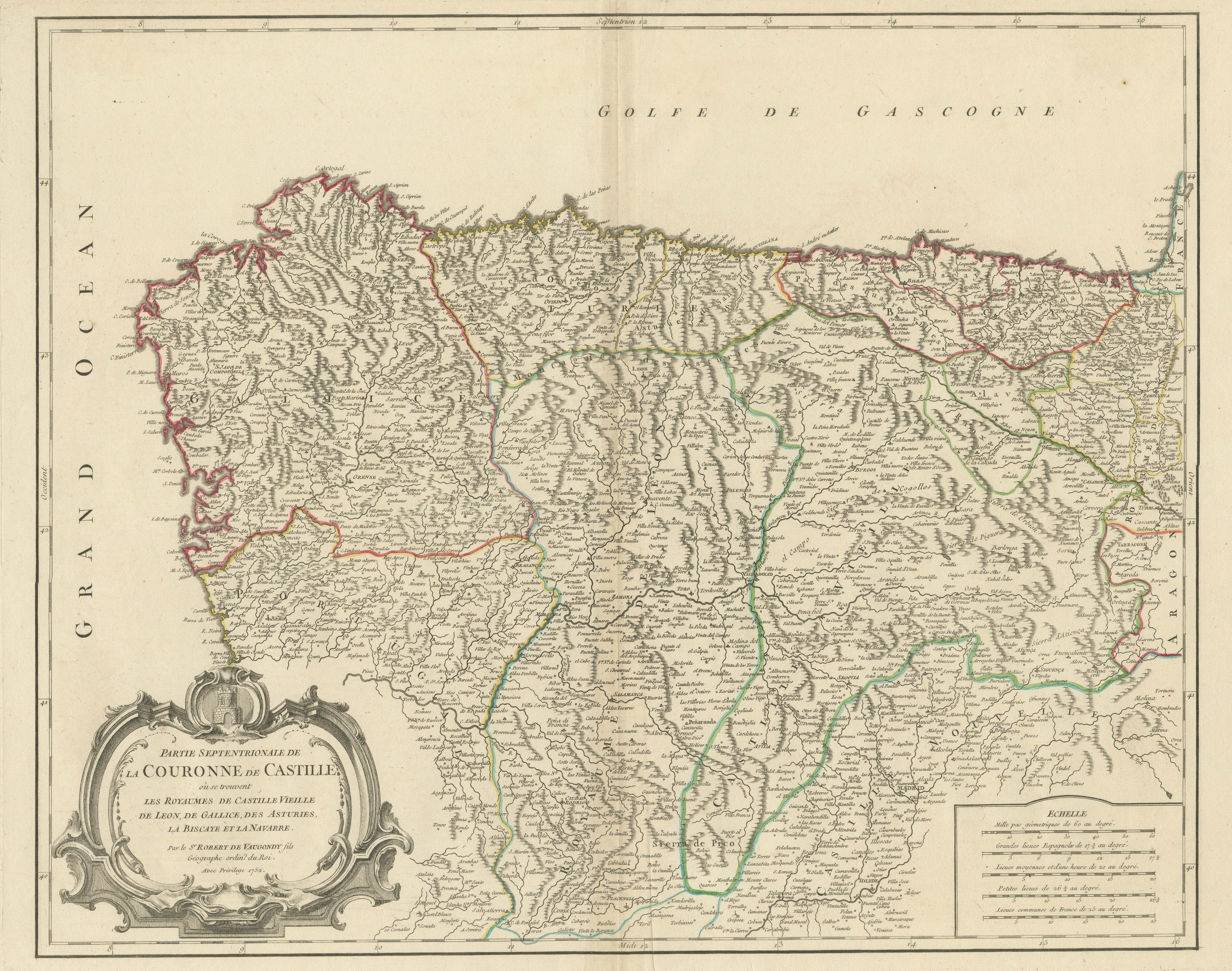
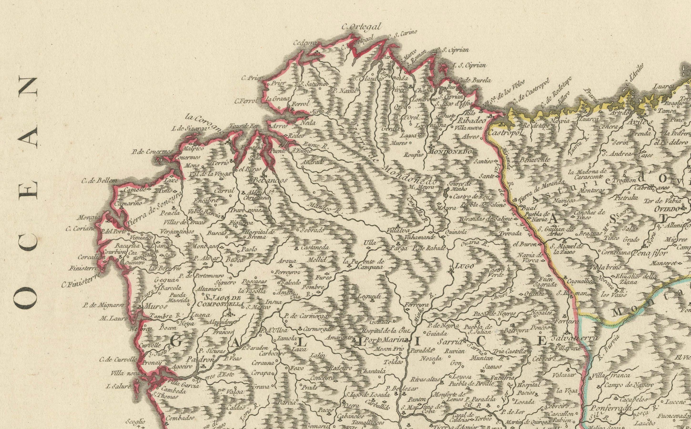
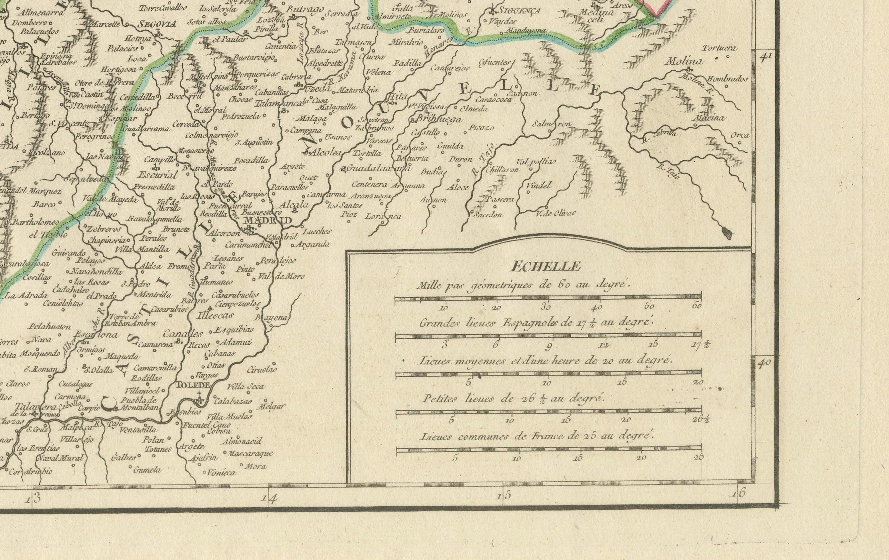
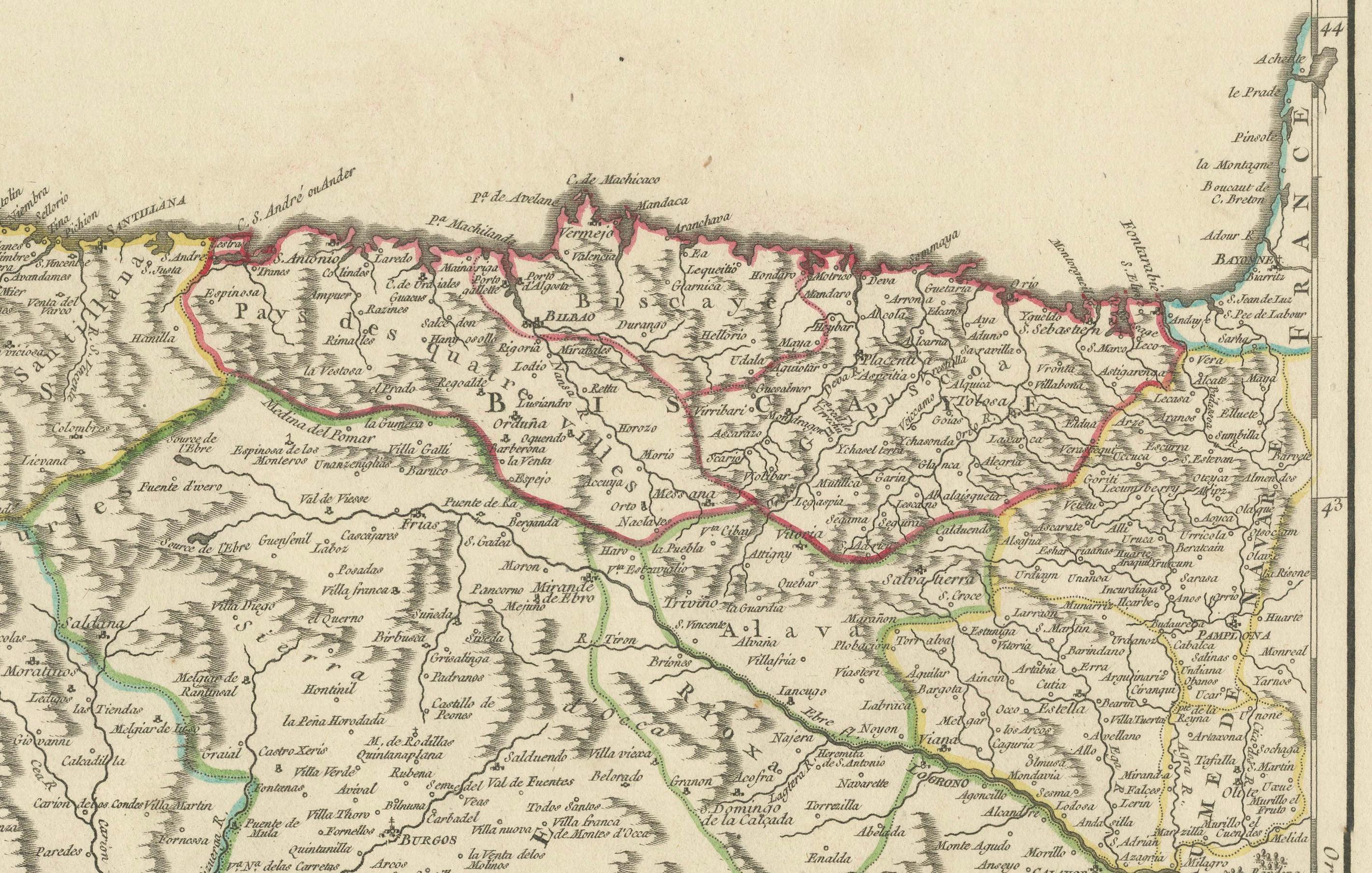
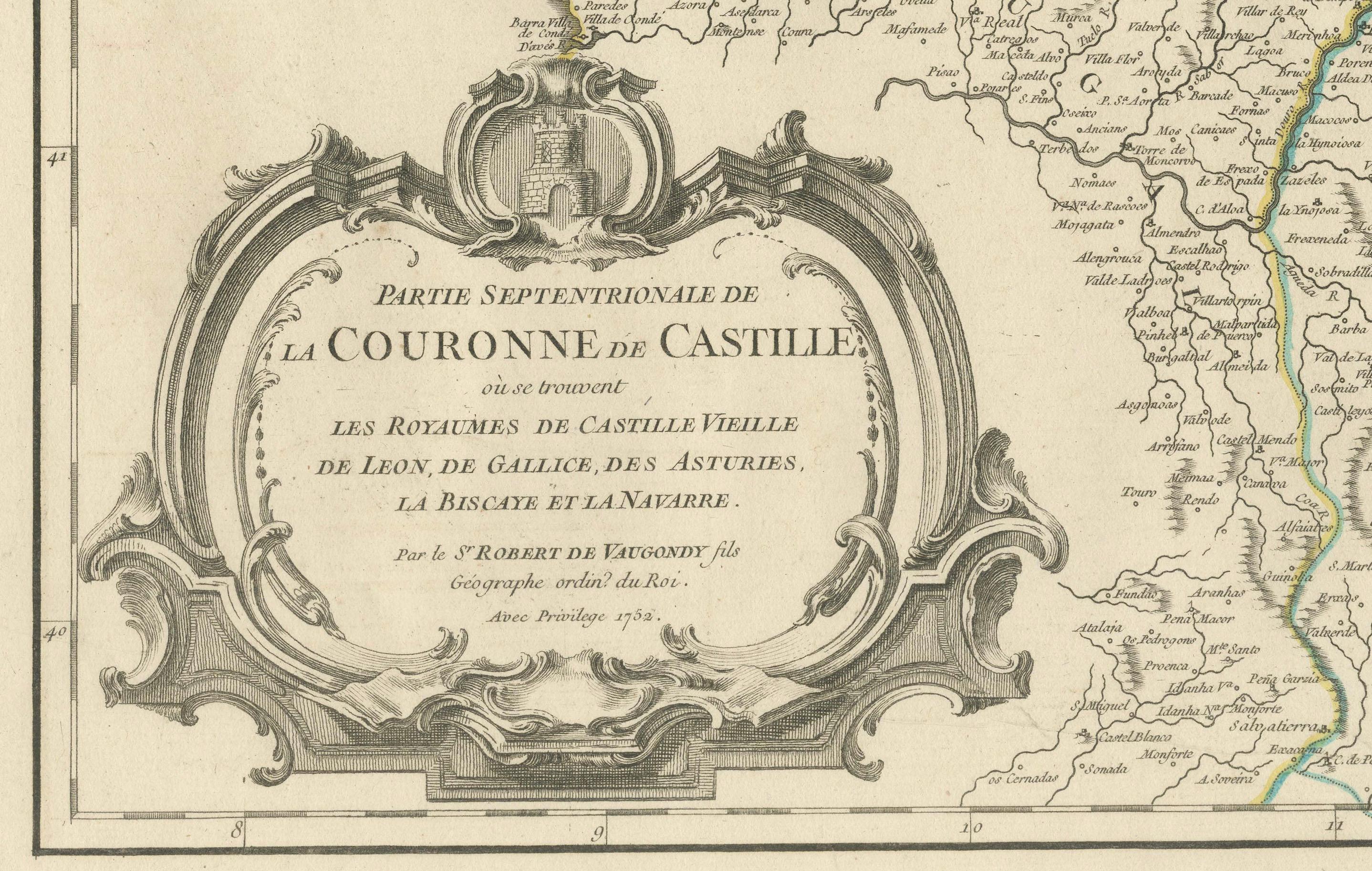
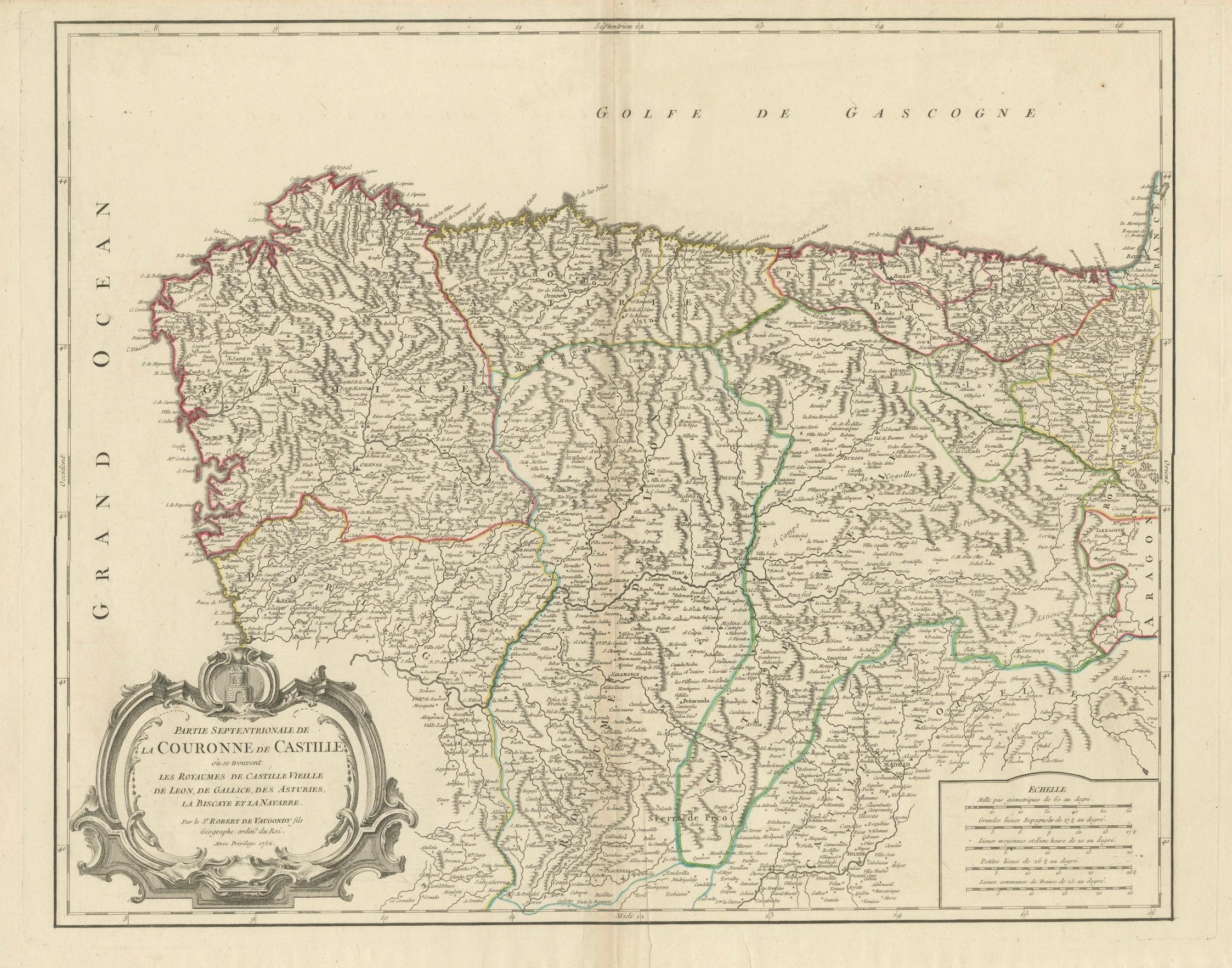
Antique map titled 'Partie Septentrionale de la Couronne de Castille (..)'. Decorative and highly detailed map of Northwestern Spain, including Gallicia, Leon, Asturias, Old Castille, New Castille and Biscaya. Extends to Madrid and Toledo. Published by Vaugondy, circa 1752.
This historical map, titled "Partie Septentrionale de la Couronne de Castille*, was created in 1752 by the renowned French cartographer Robert de Vaugondy. The map illustrates the northern part of Spain, encompassing the regions known historically as the Kingdoms of Old Castile, León, Galicia, Asturias, Biscay, and Navarre. These areas were significant during the time as they formed the northern territories of the Spanish Crown, known as the "Crown of Castile."
Notable Features:
- Cartographer: Robert de Vaugondy, a distinguished French geographer, known for his detailed and accurate maps, was the official cartographer to the King of France. His works are highly regarded for their precision and artistry.
- Important Places:
- Madrid (shown towards the southern part of the map, emphasizing its importance as the capital of Spain).
- Santiago de Compostela (a historic city in Galicia, famous for the cathedral that is the destination of the Camino de Santiago pilgrimage).
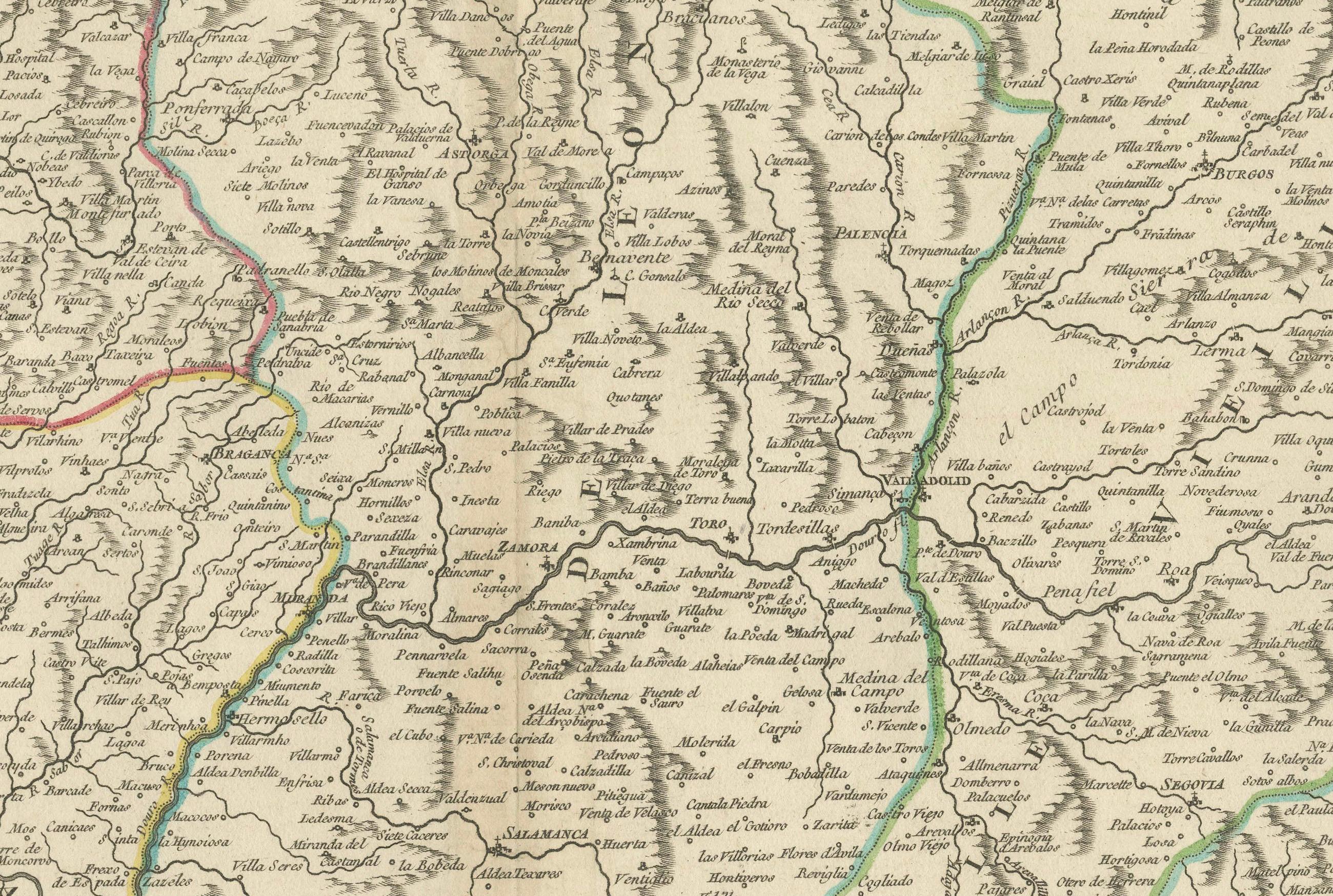
- Burgos and Valladolid (key cities in Old Castile, important for their historical and cultural significance).
- Oviedo (the capital of Asturias, known for its medieval old town).
- Pamplona (capital of Navarre, famous for the Running of the Bulls).
- Santander (an important port city in the region of Cantabria).
- Bilbao and San Sebastián (significant cities in Biscay, known for their economic and cultural importance).
Map Details:
- Scale: The map includes a scale bar, which allows the user to measure distances accurately.
- Borders: The map outlines the borders of each kingdom with different colors, helping to distinguish between the various regions.
- Geographical Features: Detailed depiction of the mountainous terrain, rivers, and coastal lines along the Bay of Biscay.
This map is not only a valuable resource for historical study but also a beautiful piece of cartographic art, reflecting the geographical knowledge and political boundaries of mid-18th century Spain.
Gilles Robert de Vaugondy (1688-1766) and Didier Robert de Vaugondy (1723-1786) were influential figures in the realm of 18th-century French cartography. Originating from Paris, their contributions to mapmaking were significant during an era of expansive geographical exploration.