Maps & PrintsBartele Gallery · Langweer
Home / Antique Maps / America

America · 19th century

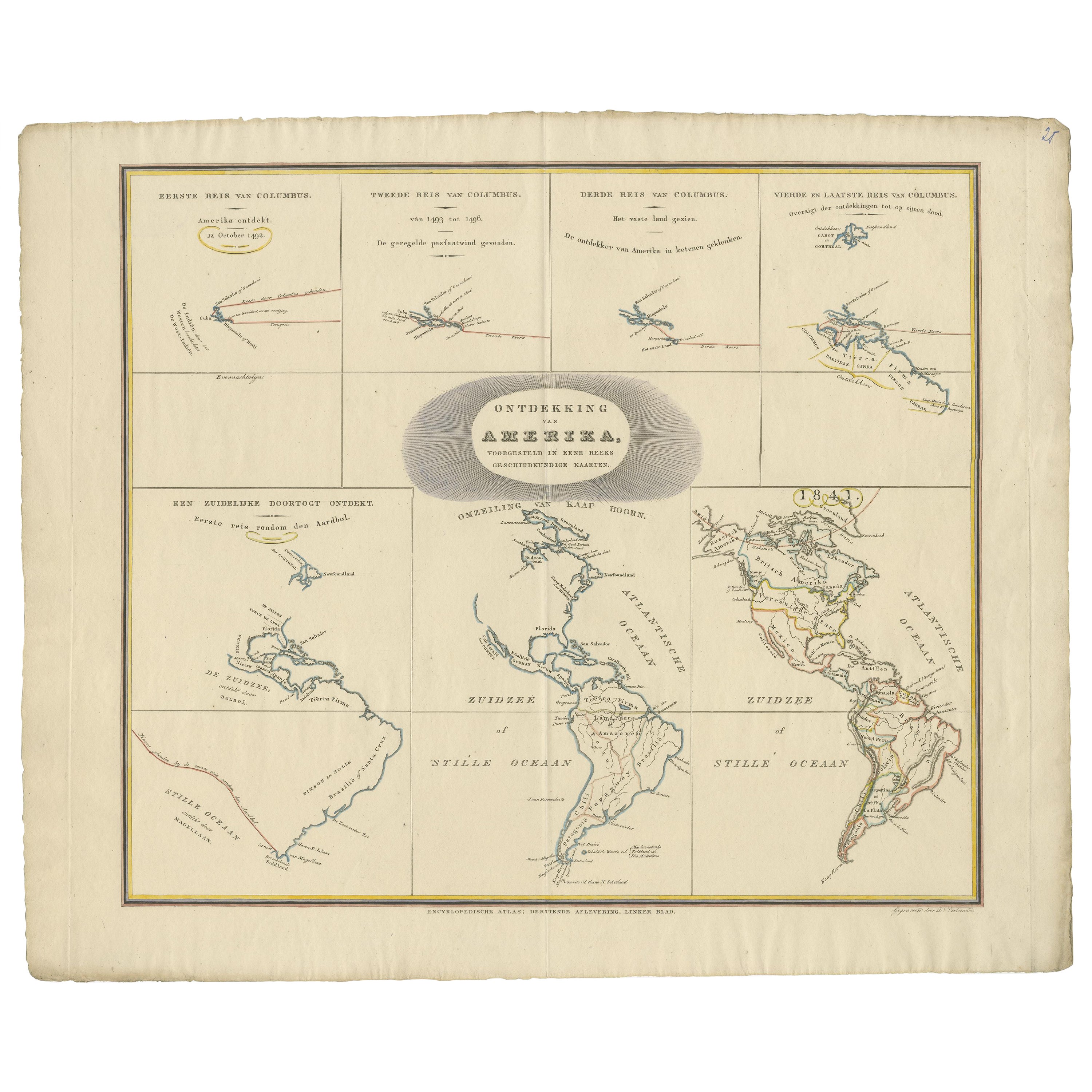
Interesting Antique Map of the Development of the Mapping of the America's, 1841

€ 1 250

One of a kind: this is the sheet in the photographs. Ships from Langweer, the Netherlands.

Date
1841
Sheet size
48 × 59 cm (18.9 × 23.2 in)
Condition
Good
Reference
BG-13192-1

About this sheet

Collection of hand-colored engraved maps by D. VEELWAARD on 1 sheet, "Dertiende aflevering, linker blad" from ESCHAZIER'S Encyklopedische Atlas (Amst., ±1841).

Interesting overview of the development in mapping of the America's from the discovery by Columbus in 1492 to the situation in 1841. In the depiction of the Rounding of the Cape, California is still engraved as an island.

Condition: Good. Original hand-colouring of the borders. Fold Line in middle as issued. Study image carefully.

More from America

Ask about this sheet

Interesting Antique Map of the Development of the Mapping of the America's, 1841
1841 · Ref. BG-13192-1 · € 1 250
We reply by email, usually within one working day.