
Black Friday starts Friday 20 November: up to 30% off, plus free FedEx shipping on qualifying orders →
Orders placed from 15 to 30 November ship from 1 December, in time for Christmas. Our shipping partner: InXpress.
Maps & PrintsBartele Gallery · Langweer
Home / Antique Maps / America / Central America & Caribbean

Central America & Caribbean · 19th century

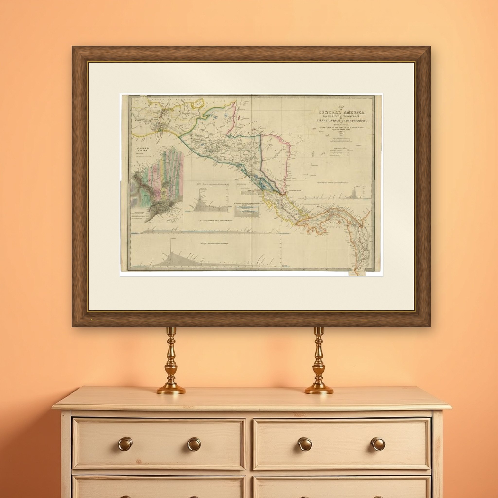
Antique Map of Central America Showing the Communication Lines, 1850

€ 1 750

Original antique · The actual sheet photographed · Certificate of authenticity on request · Sold unframed · Worldwide shipping from € 15 (rates)

Date
1850
Sheet size
58.4 × 85.5 cm (23.0 × 33.7 in)
Condition
Good
Reference
PC-58931
What the condition grades mean
Excellent
Bright and clean, with no faults worth mentioning.
Very good
Only light signs of age, such as faint toning.
Good
Normal signs of age for a sheet of this period: toning, some foxing, small marks or neat old repairs.
Fair
Clear faults such as staining, tears or repairs, priced to match.

Every fault we see is written in the condition note, and the whole sheet is shown uncropped in the photos.
About this sheet

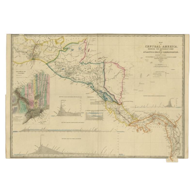
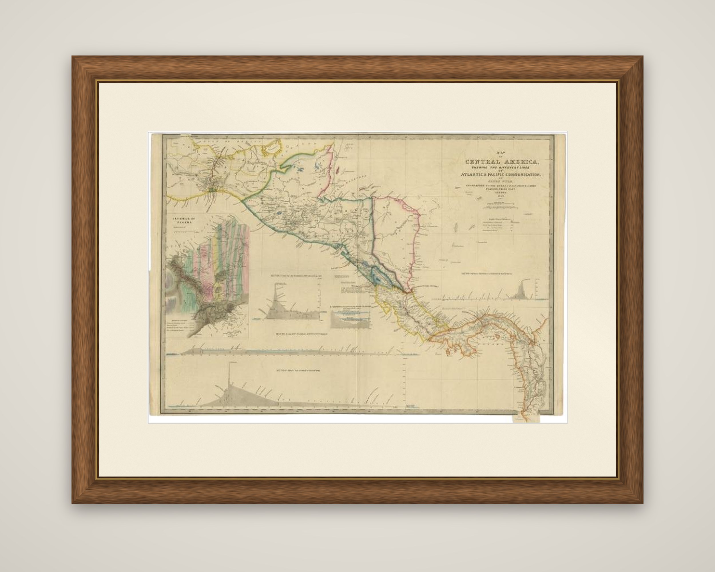
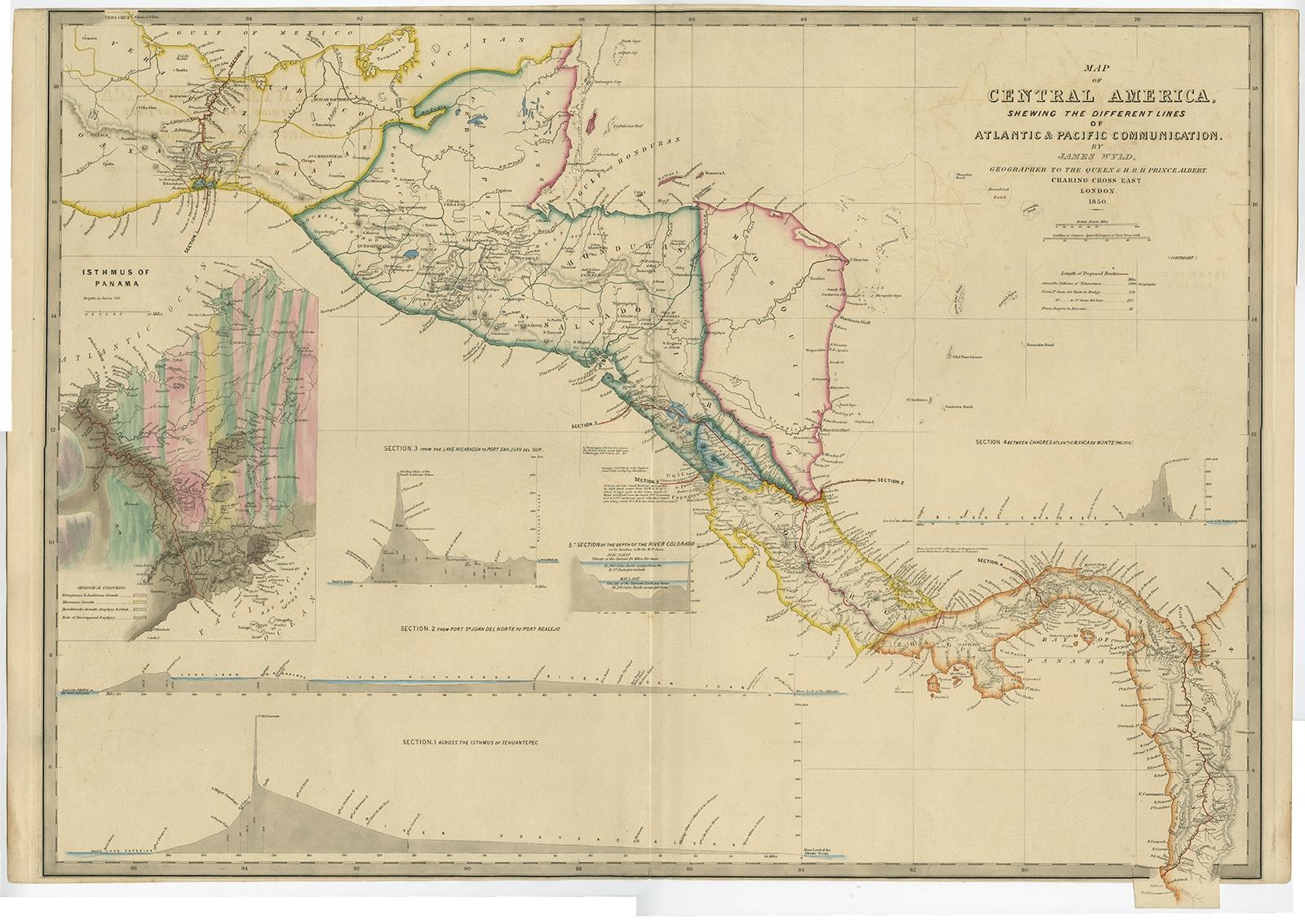
Central America on an 1850 map titled "Map of Central America Shewing the Different Lines of Atlantic & Pacific Communication", drawn by the English geographer James Wyld and issued in a United States government edition, published in a report to Congress. The sheet is an engraved map with outline color, printed on heavier paper than the usual government document.

The main map runs from southern Mexico and the Isthmus of Tehuantepec at the upper left to Panama at the lower right, with the borders of Guatemala, Honduras, Nicaragua, Costa Rica and the Mosquito coast outlined in color. Four profile sections of the proposed routes run across the foot of the sheet, covering the lines across the Isthmus of Tehuantepec, from Port San Juan del Norte to Port Realejo, from Chagres on the Atlantic to Vaca de Monte on the Pacific, and from Lake Nicaragua to San Juan del Sur. A large, colorful inset at the left shows the Isthmus of Panama and the planned route in detail.

At the time there was great interest in a land transit through Central America that would cut weeks off the journey to California and the gold fields.

More from Central America & Caribbean

Ask about this sheet

Antique Map of Central America Showing the Communication Lines, 1850
1850 · Ref. PC-58931 · € 1 750
We reply by email, usually within one working day.

Your favorites

Saved in this browser. Email the list to yourself to keep it on any device.

We use your email to send this list and, only if you tick the box and confirm, for occasional new arrivals. Every email has an unsubscribe link. Bartele Gallery, the Netherlands.

Powered by SiteKeys