maps-prints.com
✦
Black Friday Sale
Friday 20 to Monday 30 November: up to 30% off original antique maps and prints
The terms
- Up to 30% off selected original antique maps and prints. Every piece is an original, printed in its own time; none is a reproduction.
- The sale runs from Friday 20 November to Monday 30 November. Sale prices shown here apply from Friday 20 November; until then pieces are sold at their regular price.
- Free FedEx shipping on qualifying orders placed on our own websites: USA, Canada, UK and Europe over $500 / €450; rest of the world over $750 / €675. Smaller orders pay our normal shipping rate.
- Orders placed from 15 to 30 November ship from 1 December, in time for Christmas. Our shipping partner is InXpress.
- Each piece is unique, so the sale is while stock lasts.
Collection:AllAmericanSea chartsMilitaryNatural historyFashionArchitectureBotanicalSacredEast Indies
Sale prices apply from Friday 20 November. Save the pieces you like with the heart and come back on Friday.
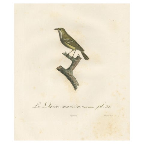 Large Antique Vireo Bird Illustration - 1807 Vieillot Handcolored Print
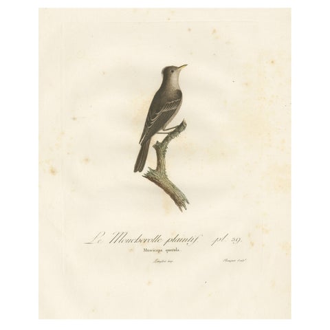 Large Antique Bird Print of an Eastern Wood Pewee
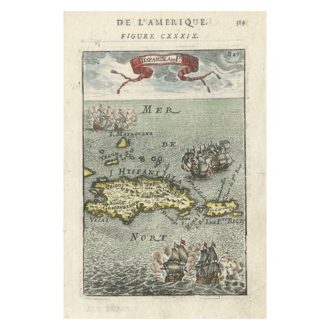 Antique 1683 Map of Hispaniola and Puerto Rico in the Caribbean by Mallet
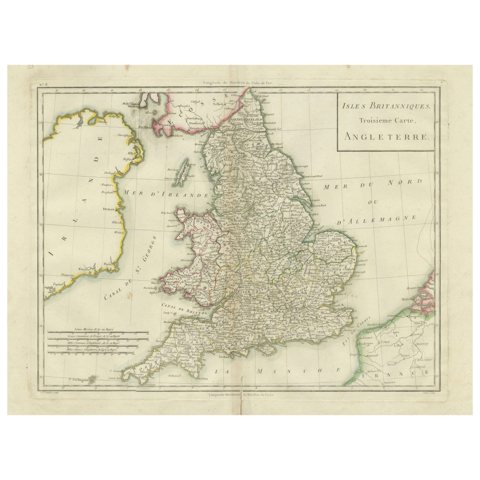 Map of England and Surrounding Regions: Early 19th Century - 1802 Tardieu Atlas
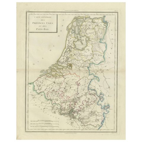 Map of the United Provinces & Low Countries: Early 19th Century - 1802
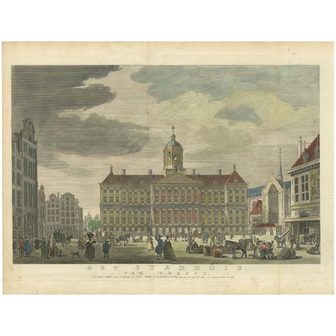 Hand-Colored 1765 Engraving of Amsterdam Royal Palace and Dam Square, 1765
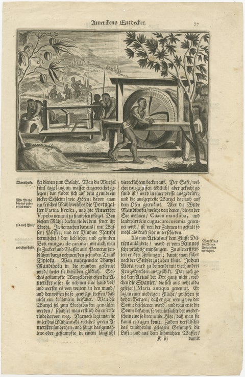 Historic View of Sugar Milling in 17th Century America, published in 1673
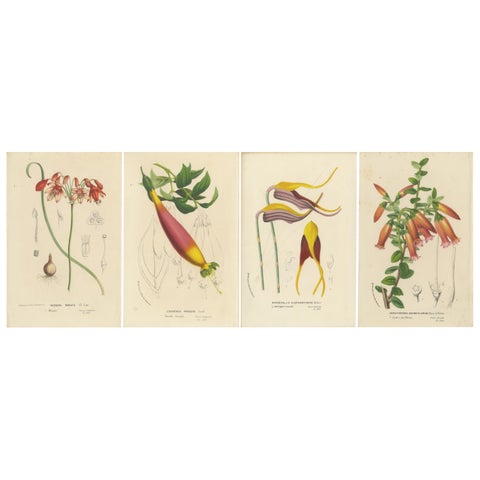 Floral Collection: Coral Drops, Prairie Gentian, Monkey Orchid, Bellflower, 1875
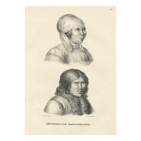 Portraits of Inhabitants of Kamchatka by Karl Joseph Brodtmann, 1836
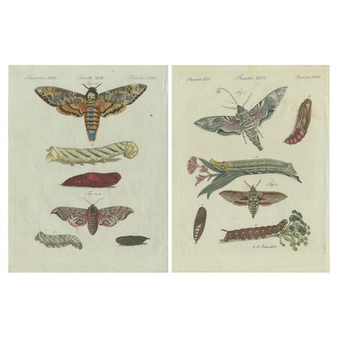 Unique Entomology Study - Hand-Colored Butterfly Prints Published in ca.1780
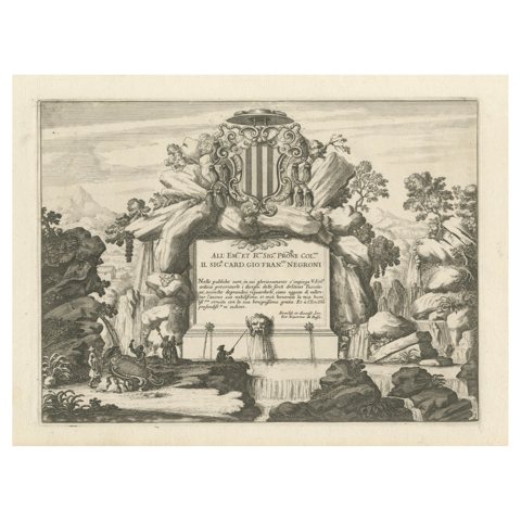 Baroque Allegorical Engraving with Noble Coat of Arms, circa 1690
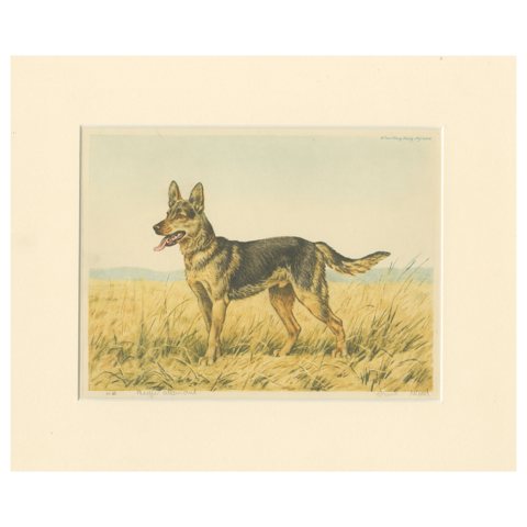 German Shepherd in a Scenic Meadow – Hand-Colored Aquatint by Paul Wood, 1935
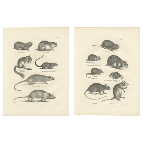 19th-Century Engravings of Rodents and Small Mammals by Dutch Naturalists
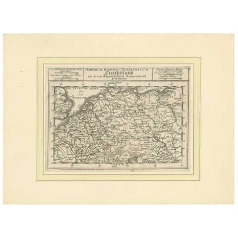 Germany and the Borders of Empire: Bodenehr’s Map of the Holy Roman World, 1710
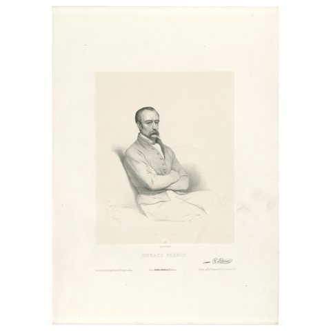 Portrait of Horace Vernet by Le Gout-Gérard – 19th Century Lithograph, ca.1855
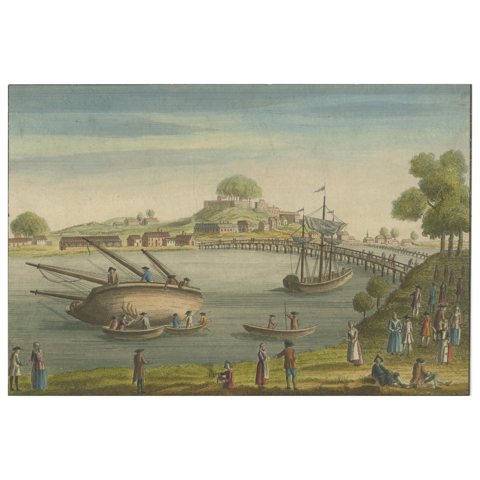 Vue de Bayonne du Côté du Port – Hand-Colored Optical Print by Basset, c.1790
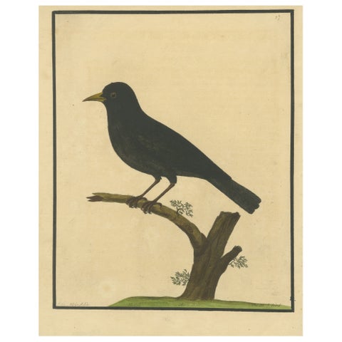 Antique Hand-Colored Engraving of The Blackbird by Eleazar Albin, circa 1730
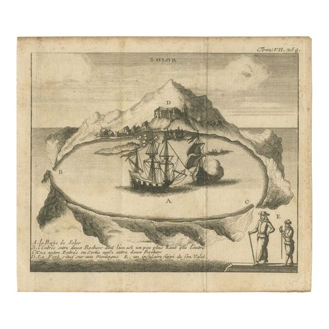 Rare 17th Century Engraving of Solor Island Fort and Bay, Indonesia, circa 1670
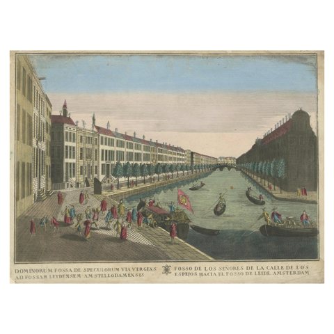 Optica View Amsterdam Spiegelgracht to Leidsegracht, Probst c.1750
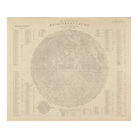 Visible Side of the Moon Map – Detailed Lunar Crater Chart, Published in 1858
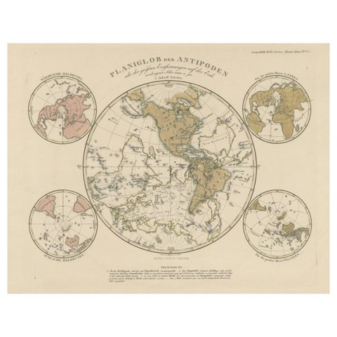 Planiglob of the Antipodes – Unique Global Projection Map 1857
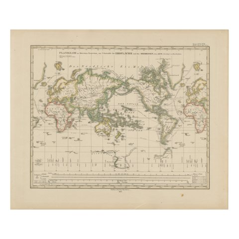 World Map – Mercator Projection with Global Sea Routes, Published in 1857
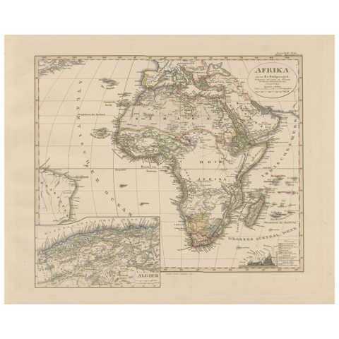 Colorfull Antique Map of Africa with Algeria Inset – Stieler Atlas 1858
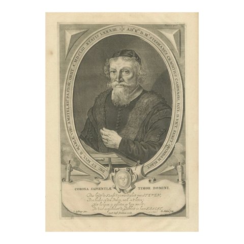 Dutch Humanist Stephan Crachtius – 17th c. Engraving by Matham after Spilberg
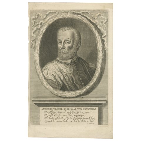 Portrait of Cardinal Granvelle – Dutch Engraving, circa 1681
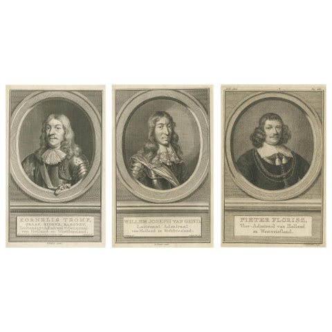 Set of Three Dutch Naval Portraits – Tromp, Van Ghend, and Florisz, c.1700s
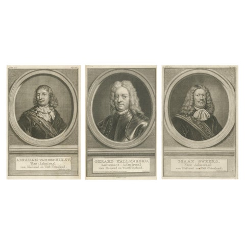 Set of Three Dutch Naval Portraits – Van der Hulst, Kallenberg & Sweers, c.1700
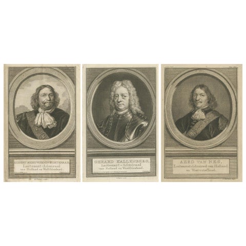 Set of Three Dutch Naval Portraits – Kortenaer, Kallenberg, and Van Nes, c.1700s
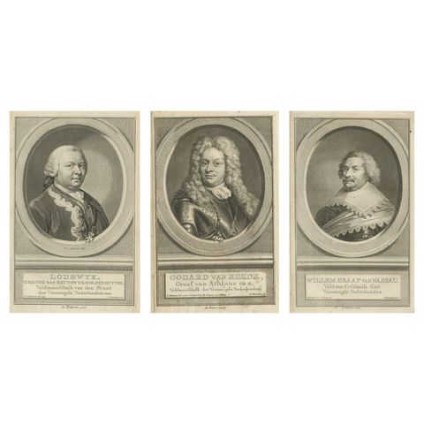 Dutch Military Commanders – Brunswick, Van Reede, and Van Nassau Portraits, 1755
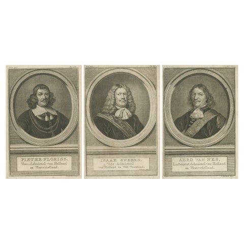 Dutch Naval Leaders – Florisz, Sweers, and Van Nes, c.1750 Copper Engravings
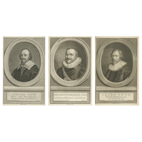 Dutch Statesmen and Admiral – Pauw, Hein, and Cats, c.1750 Copper Engravings
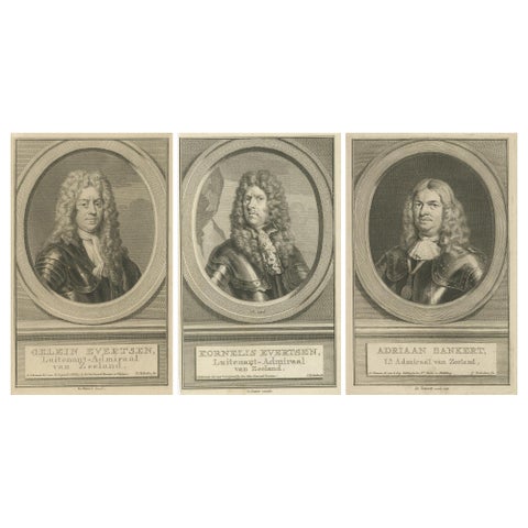 Naval Commanders of Zeeland – Gelein & Kornelis Evertsen, Adriaan Bankert, c1750
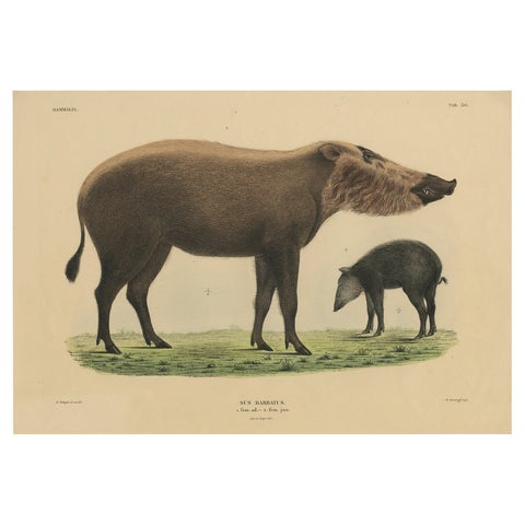 Rare Exotic Animal Print – Bornean Bearded Pig, Hand-Coloured, 1839
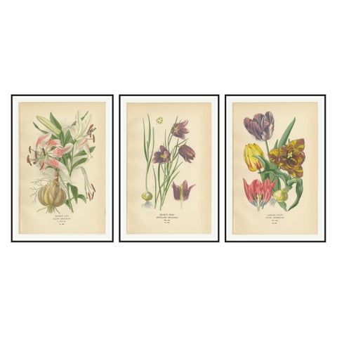 Showy Lily, Snake’s Head & Garden Tulip – Antique Flower Prints c.1897
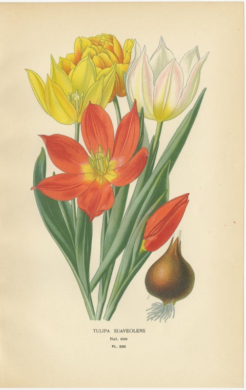 Antique Botanical Prints of Tulips & Water Hyacinth – Set of Three, c.1897
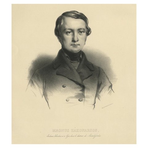 Antique Icelandic Portrait Print – Magnus Hakonarson, Student, Published 1842
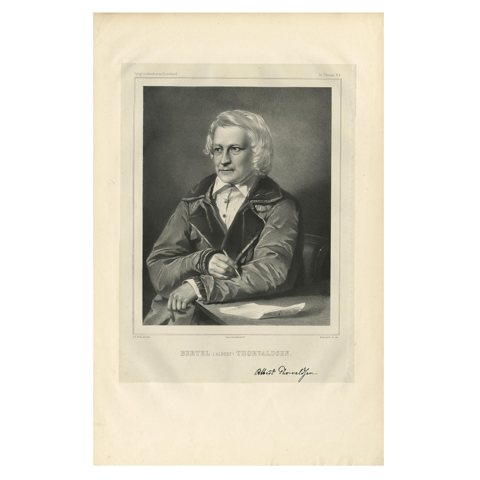 Rare Antique Portrait of Bertel Thorvaldsen – Danish Neoclassical Sculptor, 1842
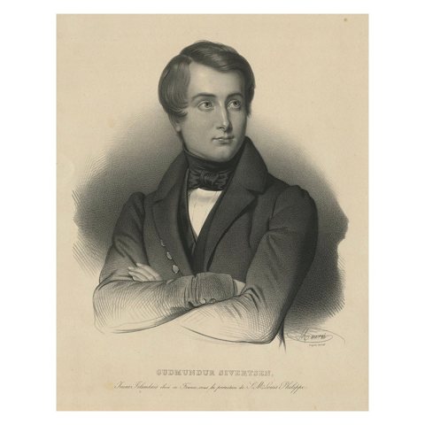 Antique Icelandic Portrait Print – Gudmundur Sivertsen Studying in France, 1842
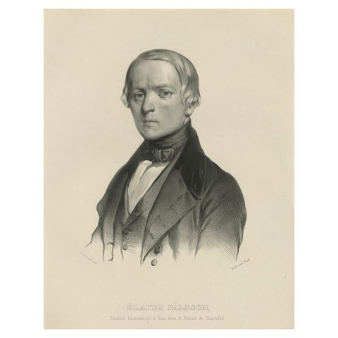 Antique Icelandic Portrait Print – Ólafur Pálsson from Skaftafell, 1842
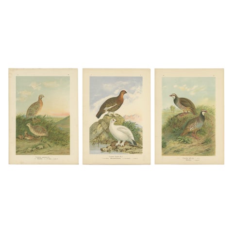 Antique Chromolithographs of Quail, Grouse & Partridge – 19th Century Bird Print
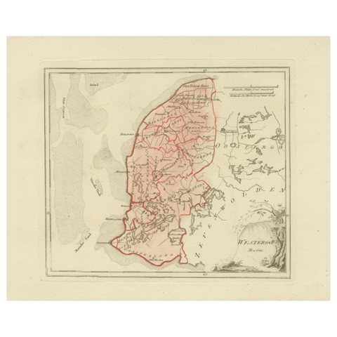 Antique Dutch Map – Westergo Region in Friesland by von Reilly, 1791
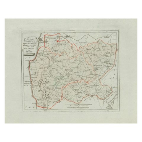 Antique Map of Sneek and Bolsward, Friesland – Dutch Provincial Map, 1791
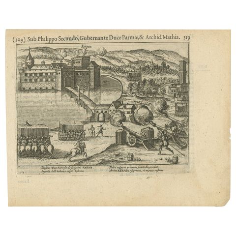 Siege of Kerpen under Duke of Parma – Original Engraving from Baudartius, 1616
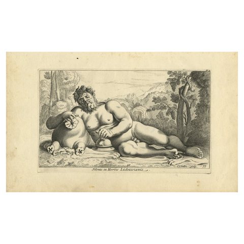 Silenus in the Gardens of Louis XIII – Antique Mythological Engraving, c.1640
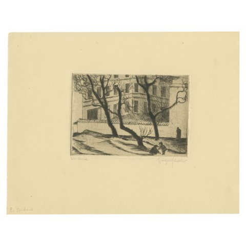 Drei Bäume (Three Trees) – Early 20th-Century Etching, Artist Unknown, ca.1920
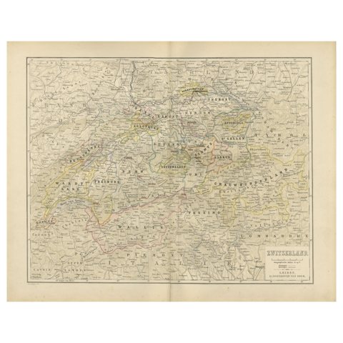 Map of Switzerland with Cantonal Boundaries – Nieuwe Hand-Atlas, 1876
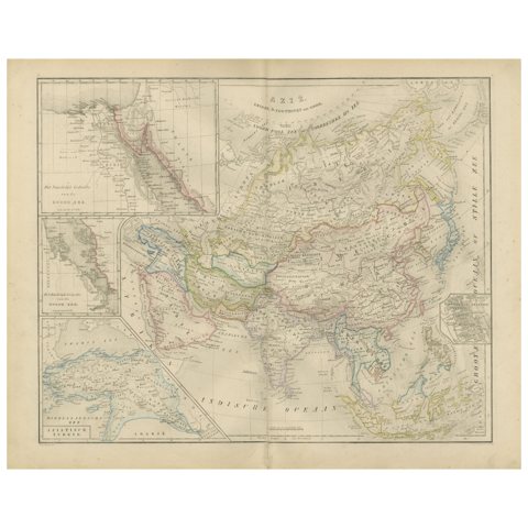 Asia Map with Middle East & India Insets – Nieuwe Hand-Atlas, Leiden 1876
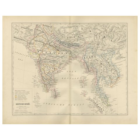 British India Map with Burma & Ceylon – Nieuwe Hand-Atlas, Leiden 1876
Sharing the sale? Download the Black Friday banners.