About this sheet
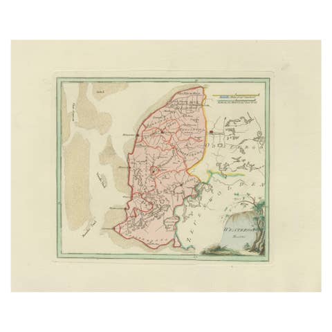
Antique Map of Westergo, Friesland by von Reilly, 1791
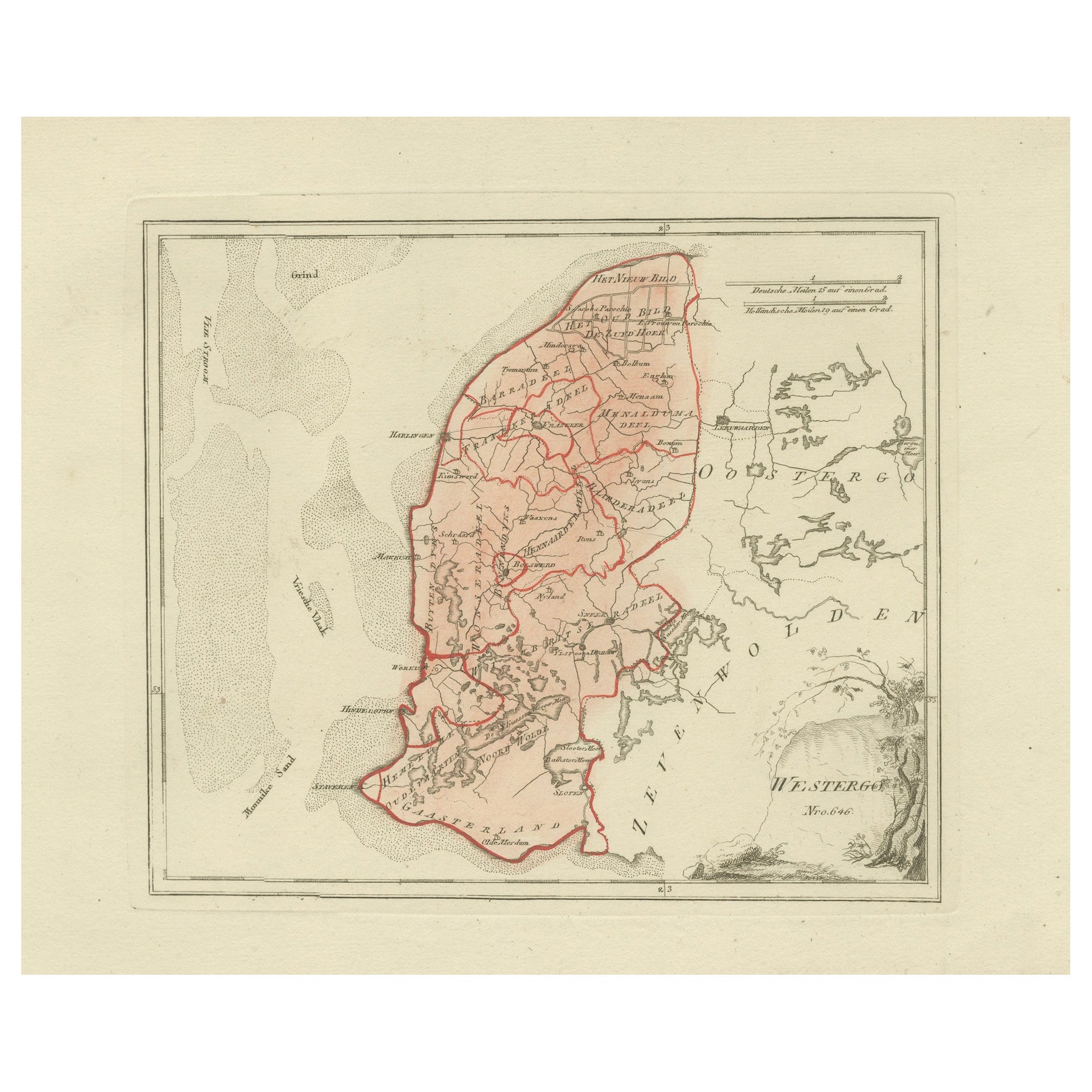
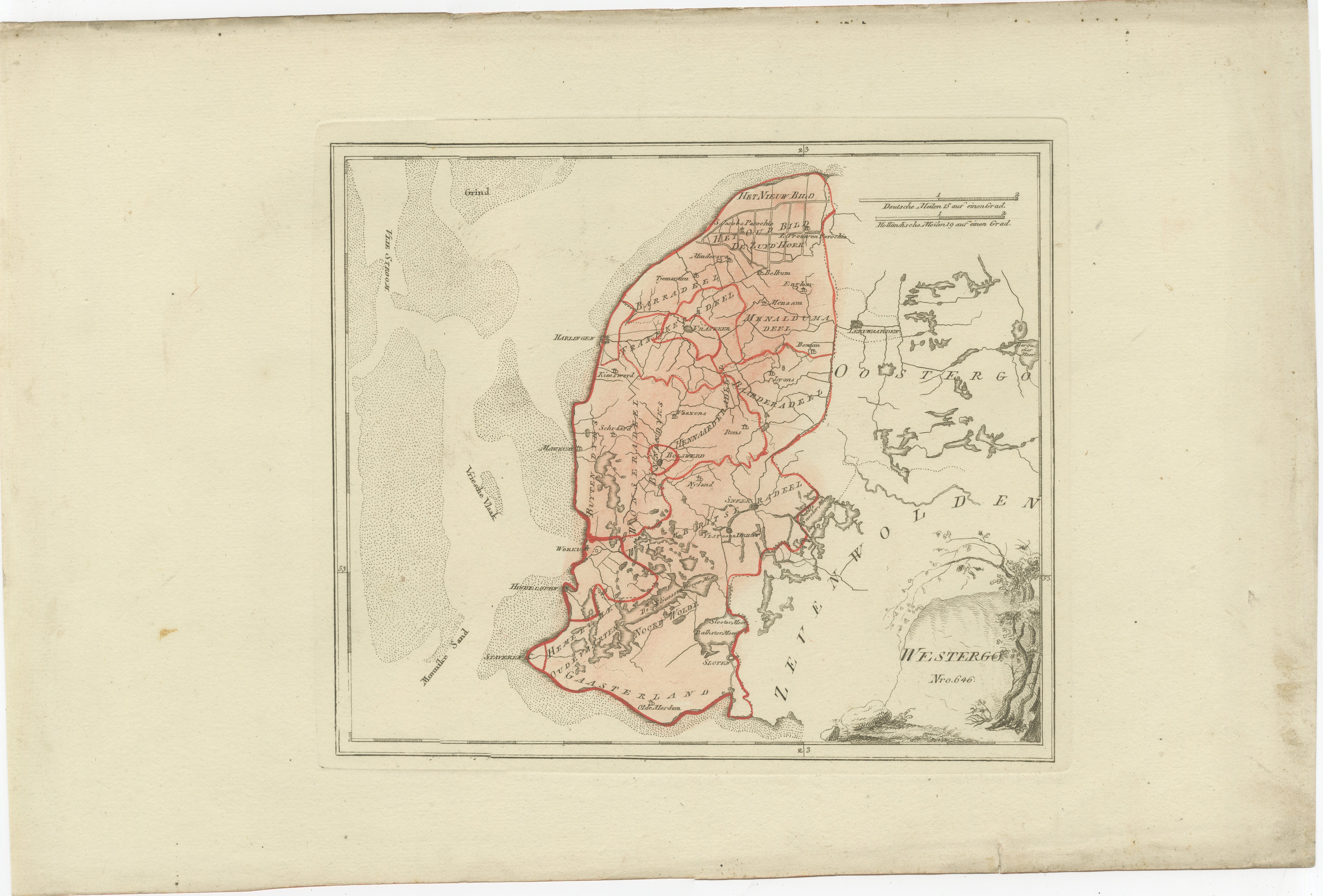
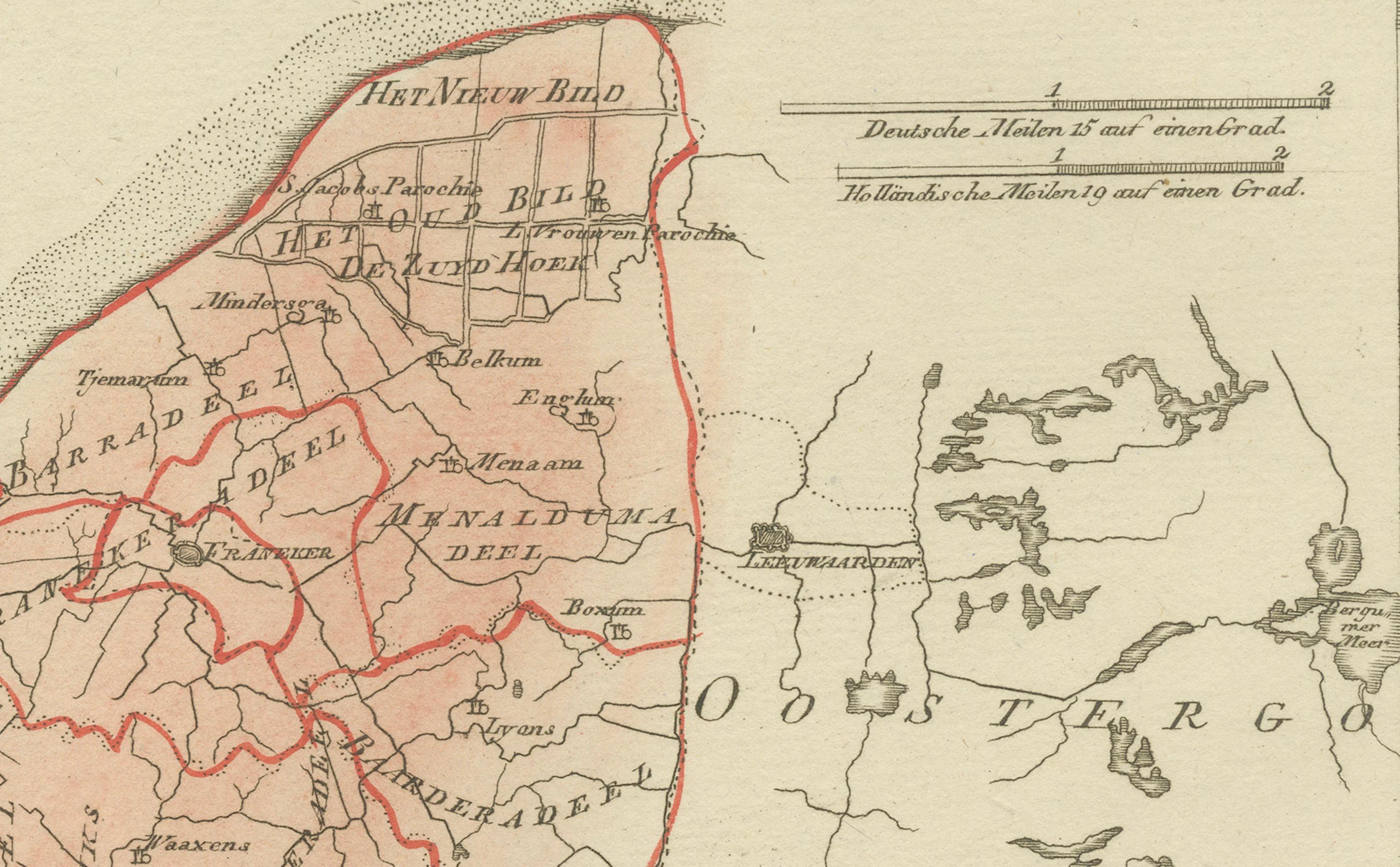
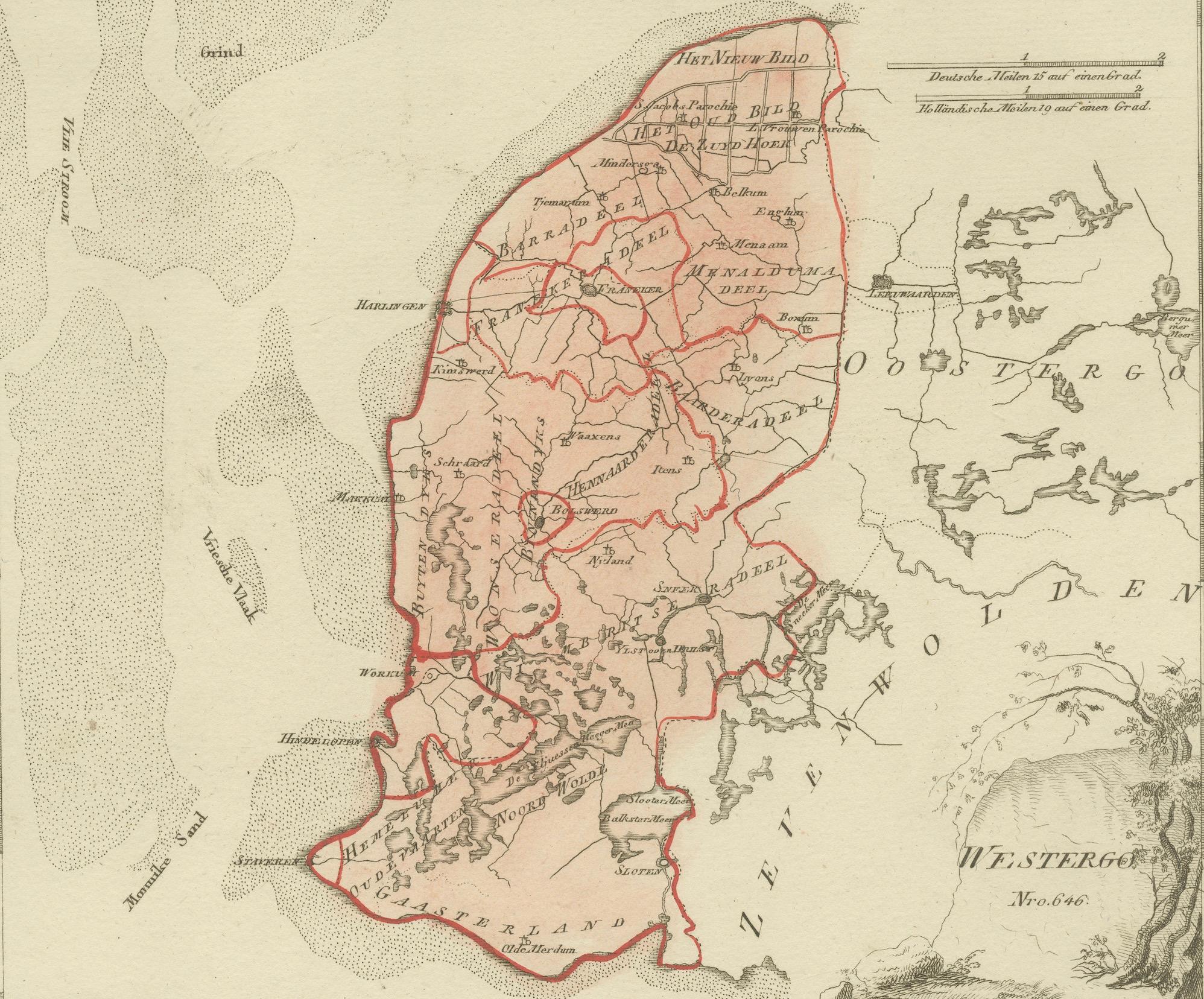
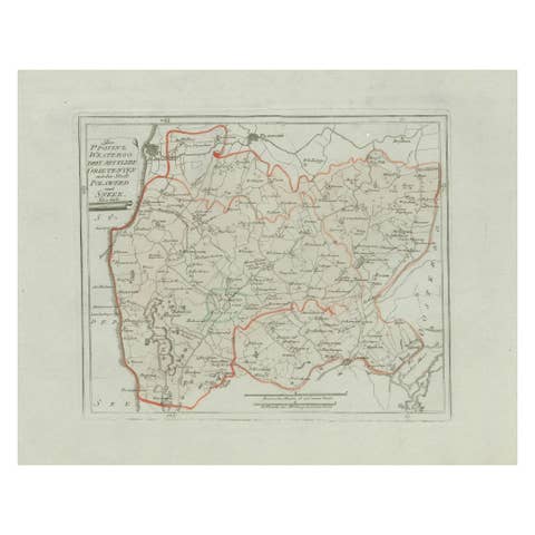
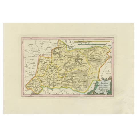
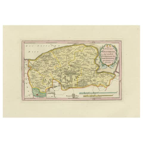
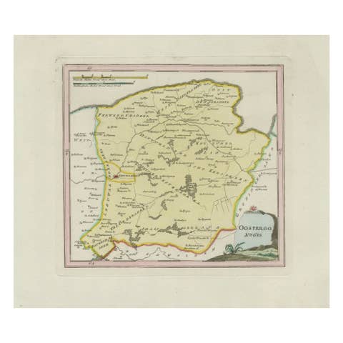
Original engraved map titled Westergoo No. 640, published in Vienna in 1791. This sheet presents the region of Westergo, the historic heart of Friesland, bordered by the Zuiderzee (now IJsselmeer) and the Wadden Sea to the west and north. The engraving was issued in Franz Joseph Johann von Reilly’s Schauplatz der fünf Theile der Welt, engraved by Ignaz Alberti in Vienna.
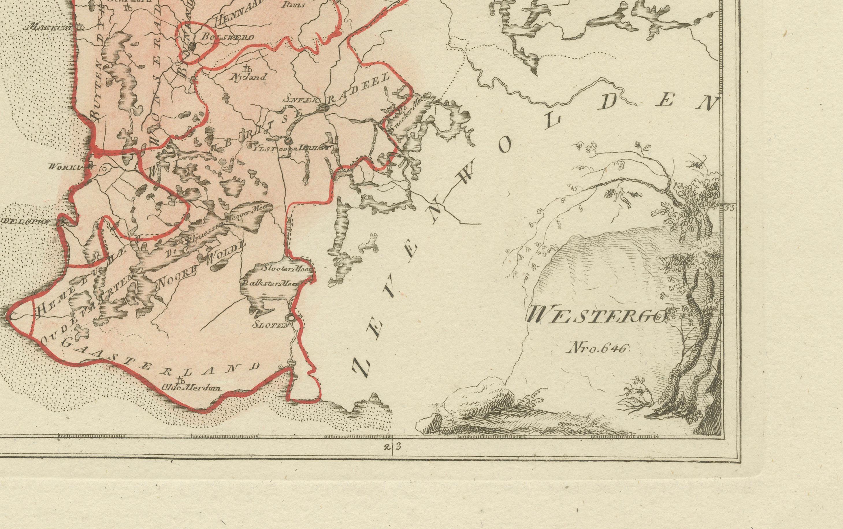
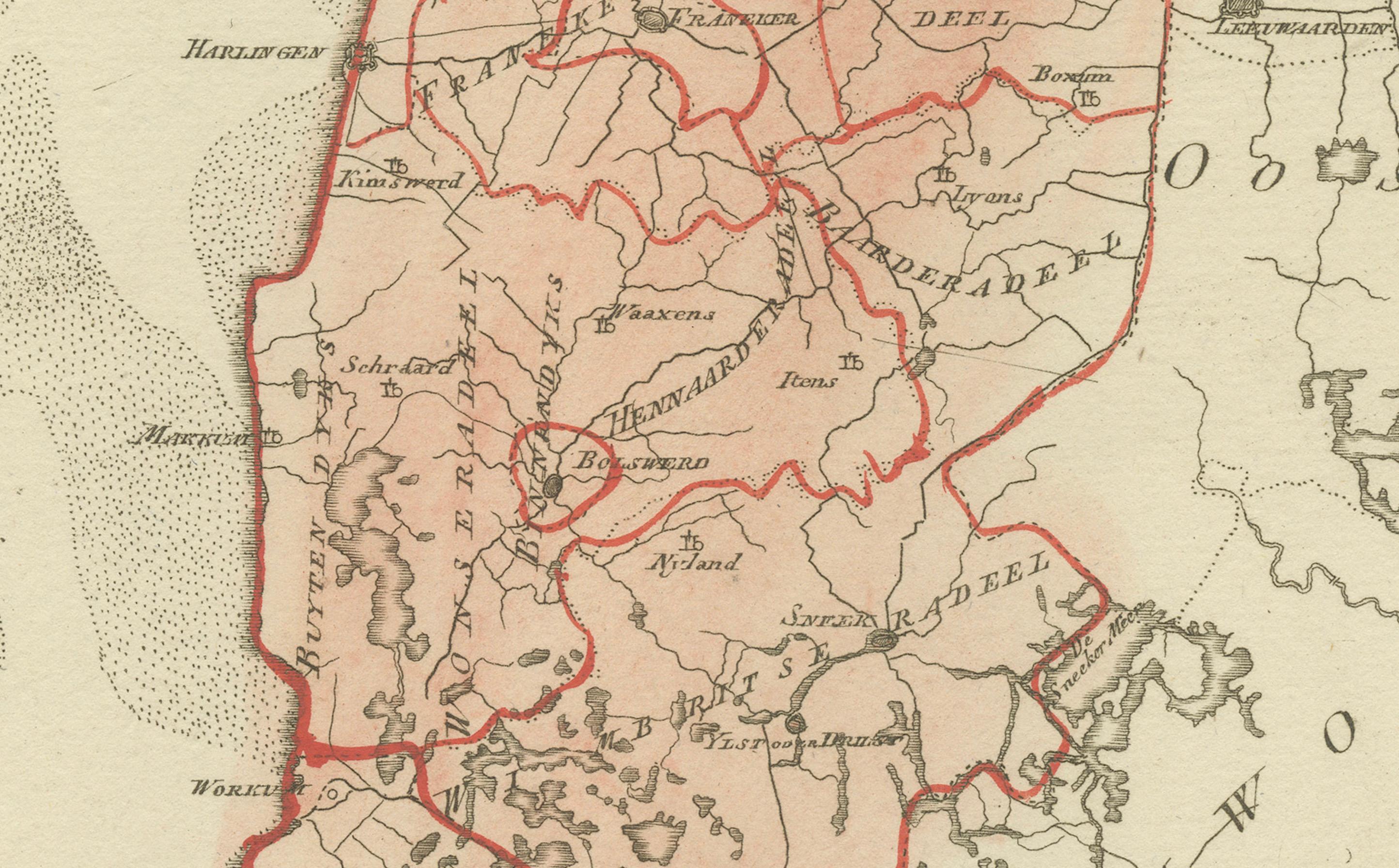
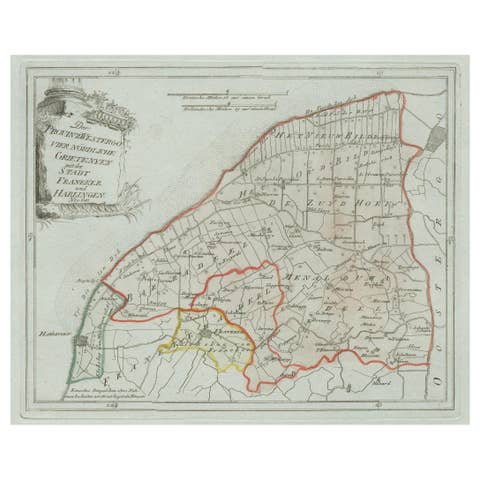
The map is densely filled with Frisian towns, villages, and waterways, reflecting the importance of this area in the province’s history. Prominent places include Bolsward, Sneek (Snits), Workum, Hindeloopen, Harlingen, Franeker, and IJlst, all among Friesland’s medieval cities. Numerous smaller settlements are also marked: Makkum, Witmarsum, Schraard, Parrega, Exmorra, Ferwoude, Allingawier, Molkwerum, Koudum, Arum, Achlum, Pingjum, Kimswerd, Wijnaldum, Sexbierum, Minnertsga, Berlikum (Berltsum), Zweins, Dronrijp, Wommels, Easterein, Winsum, and many others. The coastline features tidal flats and inlets of the Waddenzee, while inland lakes and waterways connect the towns, underscoring the maritime and agricultural character of the region.
The title cartouche at lower right, framed with rustic motifs, adds a decorative touch typical of von Reilly’s atlas. Districts are outlined in red hand coloring, emphasizing administrative boundaries.
This sheet is significant as it depicts the cultural and economic heartland of Friesland in the late 18th century. Westergo was historically the center of Frisian trade, law, and scholarship, with cities like Franeker (site of the Frisian University until 1811) and Harlingen as a major seaport. The density of place names makes this map especially valuable to collectors, genealogists, and those with regional roots.
Condition report: Very good condition with light toning. Marginal age marks visible but outside the image area. Original red hand coloring of boundaries intact. Blank verso.
Framing tips: A dark wood or gilt frame with a cream mat will complement the engraved detail. A double mat with a thin red inner line can echo the boundary coloring, giving a refined visual effect.
Technique: Engraving with original hand color
Maker: Franz Joseph Johann von Reilly, engraved by Ignaz Alberti, Vienna, 1791