About this sheet
British India Map with Burma & Ceylon – Nieuwe Hand-Atlas, Leiden 1876
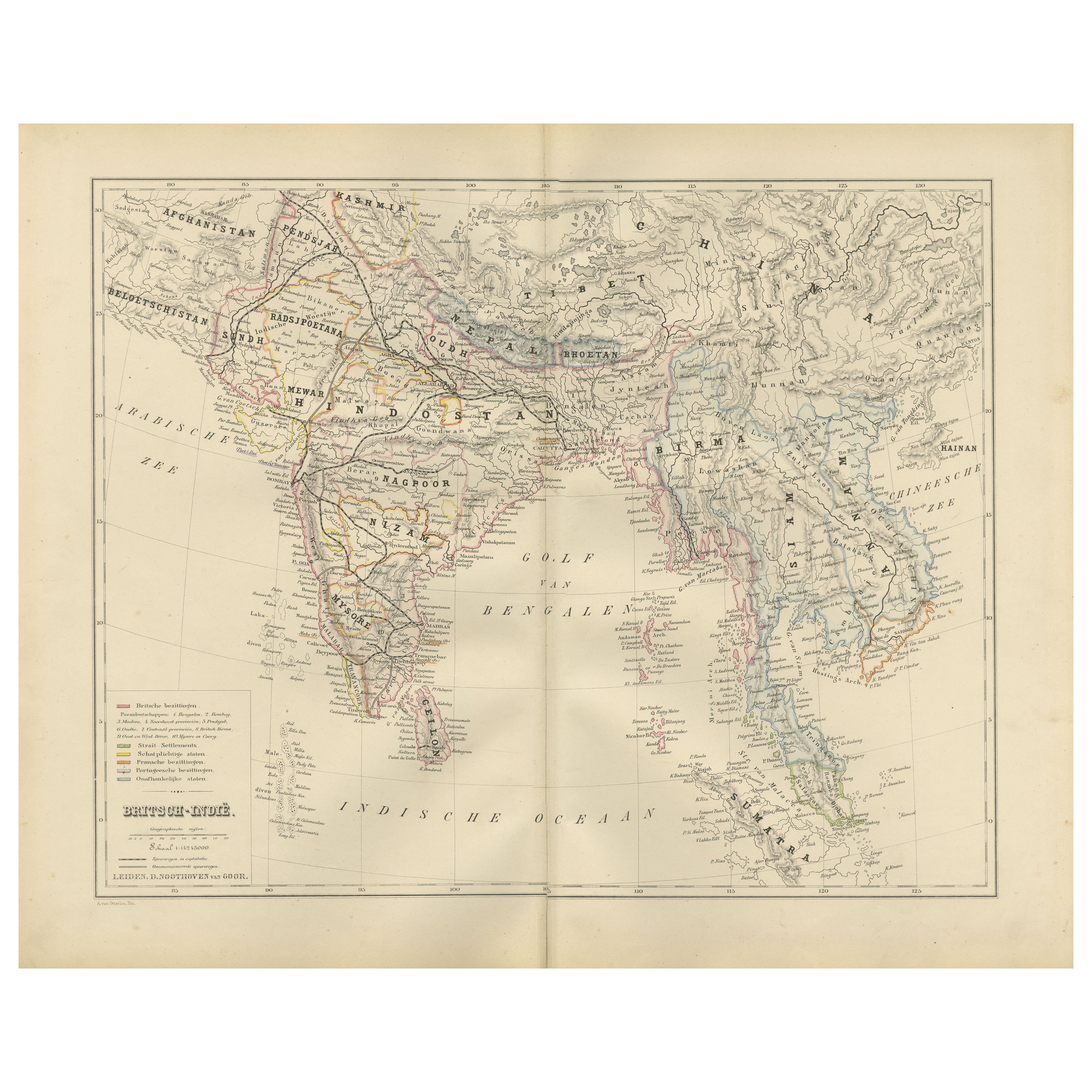
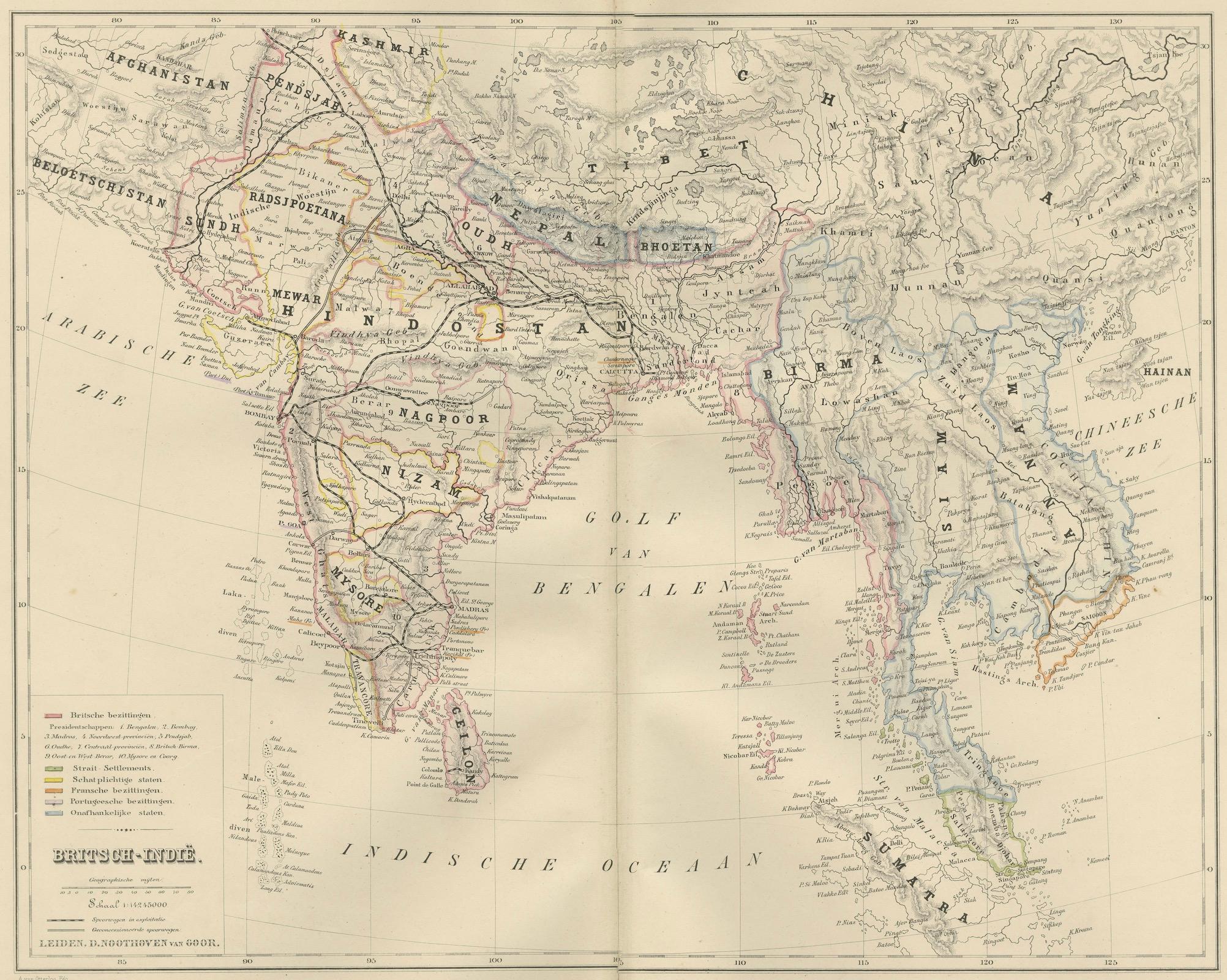
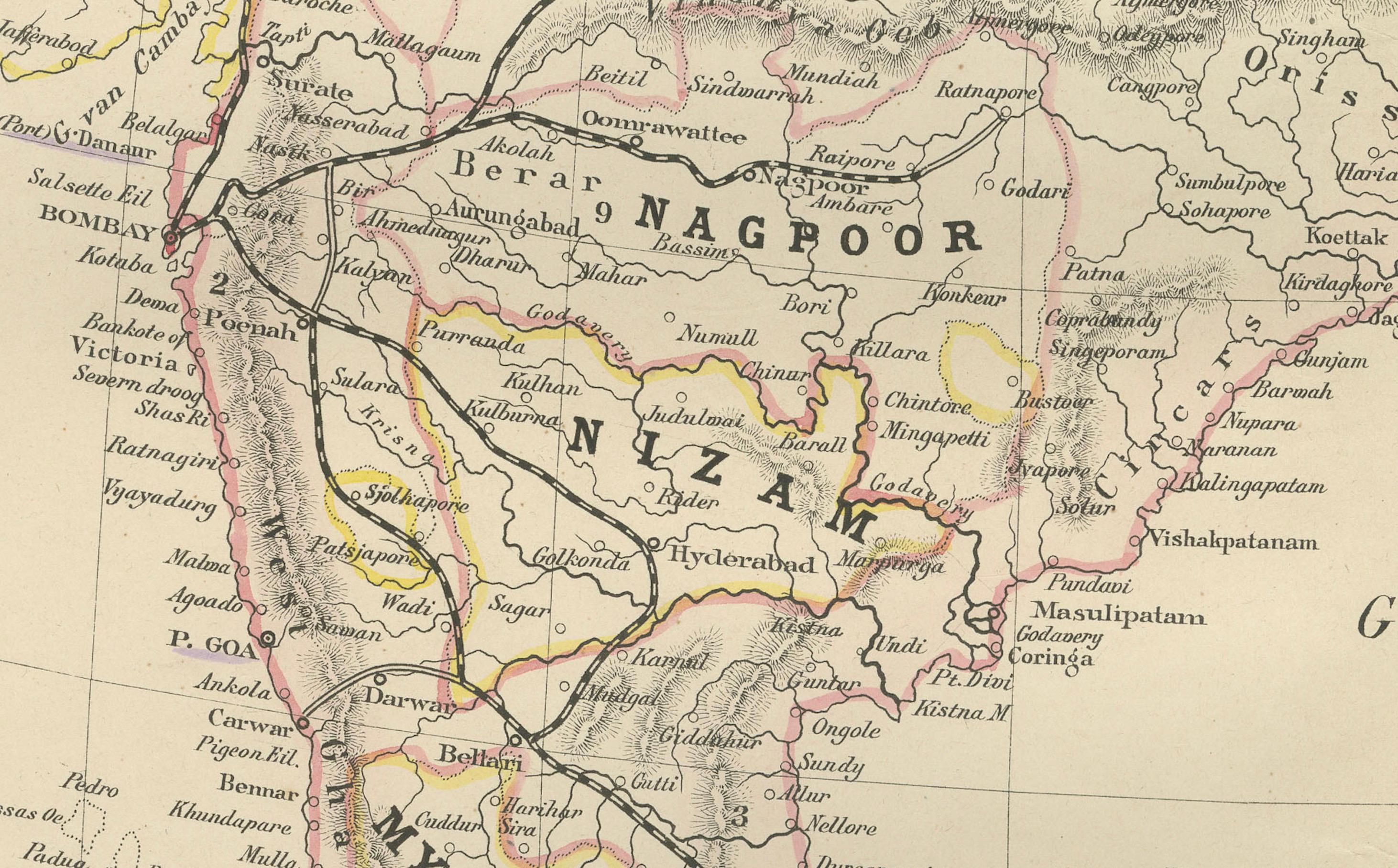
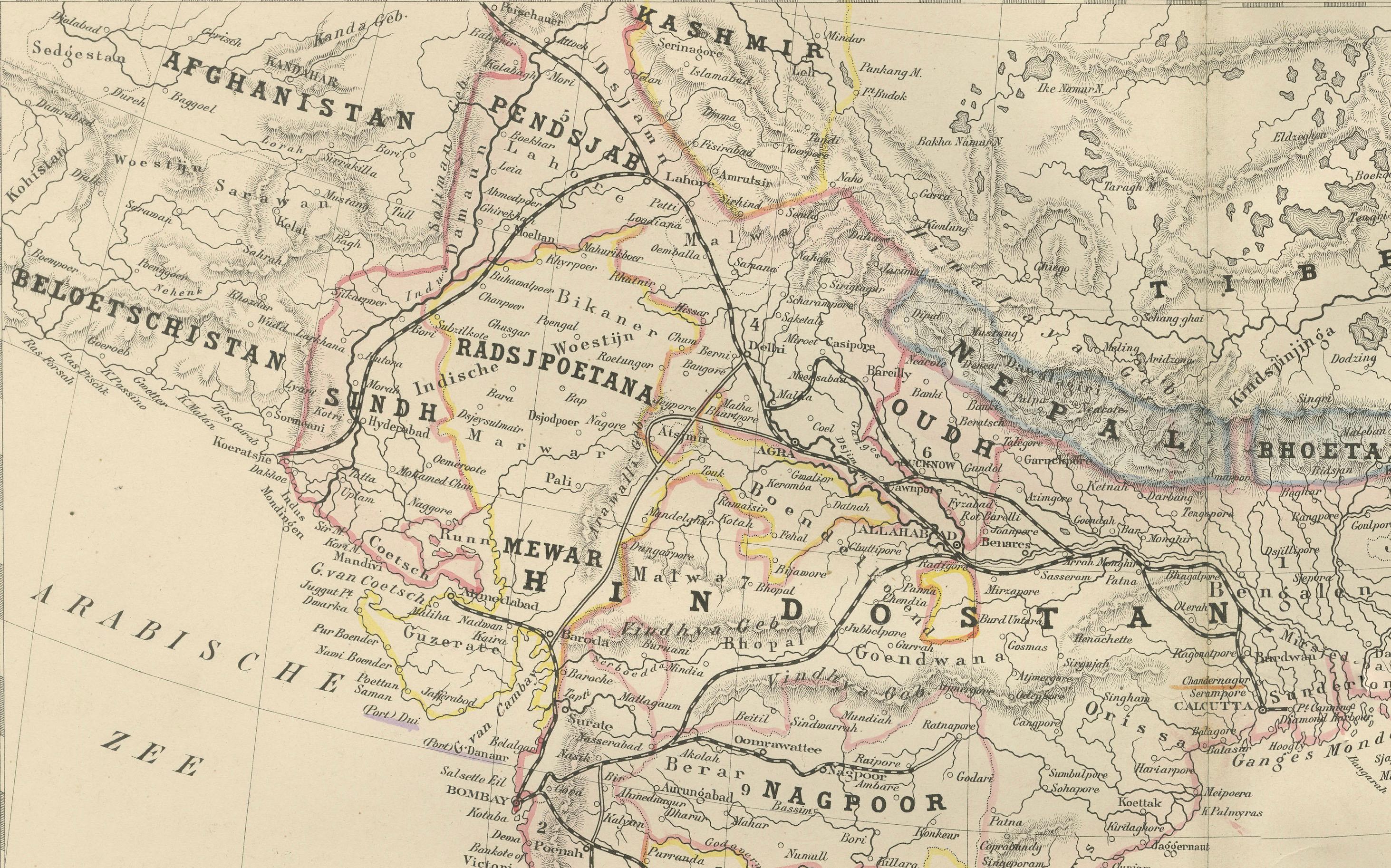
This finely engraved 19th-century map titled “Britsch-Indië” presents the Indian subcontinent and the surrounding regions under British influence during the height of the British Raj. Published in 1876 in the Nieuwe Hand-Atlas der Aarde in haren Tegenwoordigen Toestand by M. Frijlink, expertly revised by A. van Otterloo, and printed by D. Noothoven van Goor in Leiden, it provides a historically rich overview of South Asia during one of its most transformative eras.
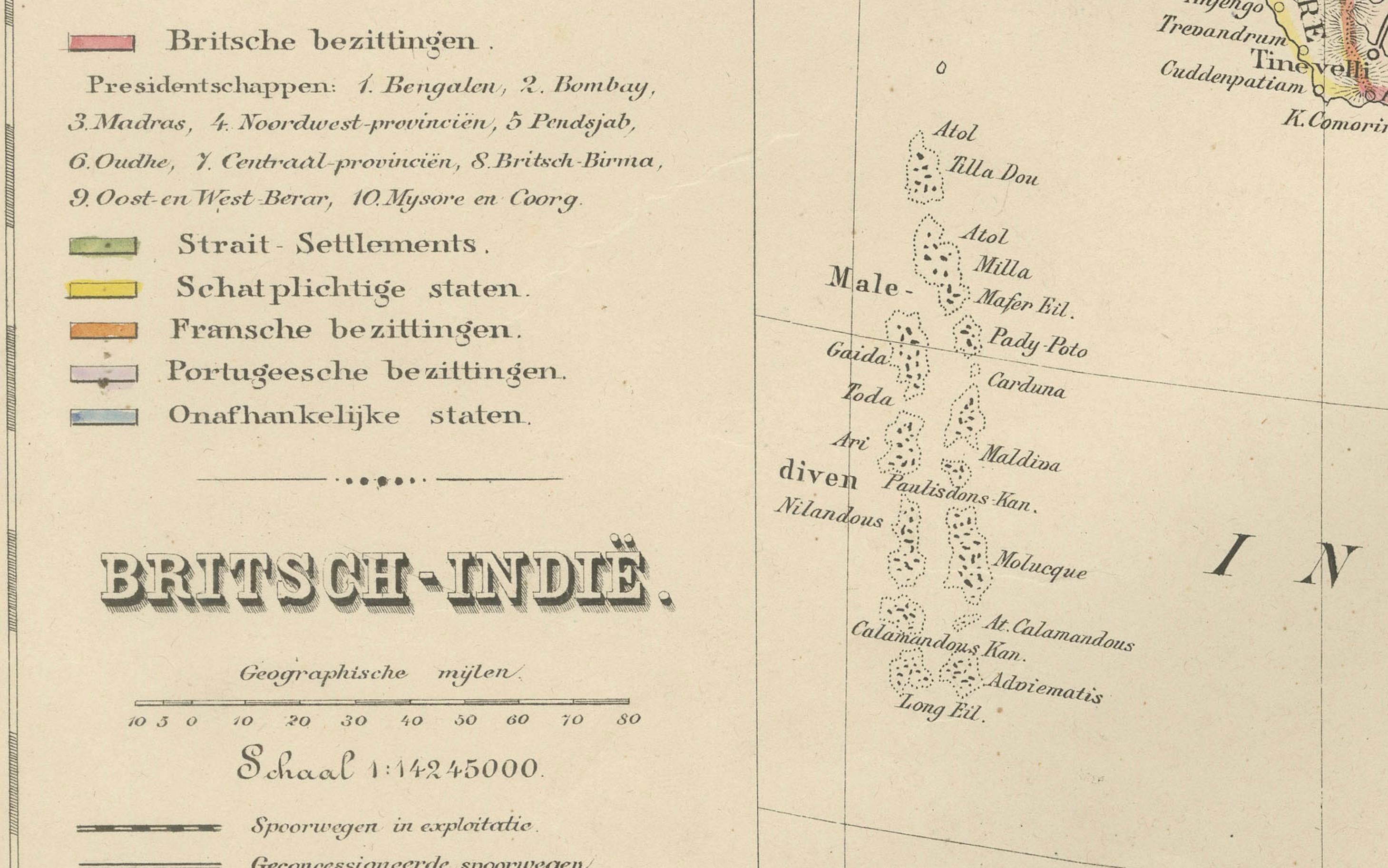
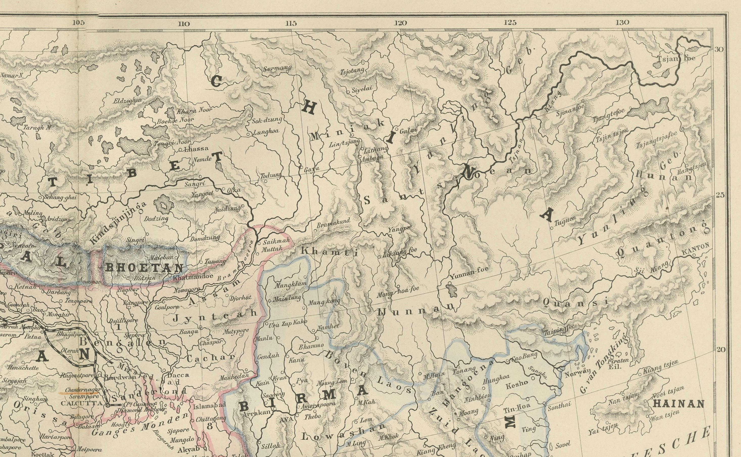
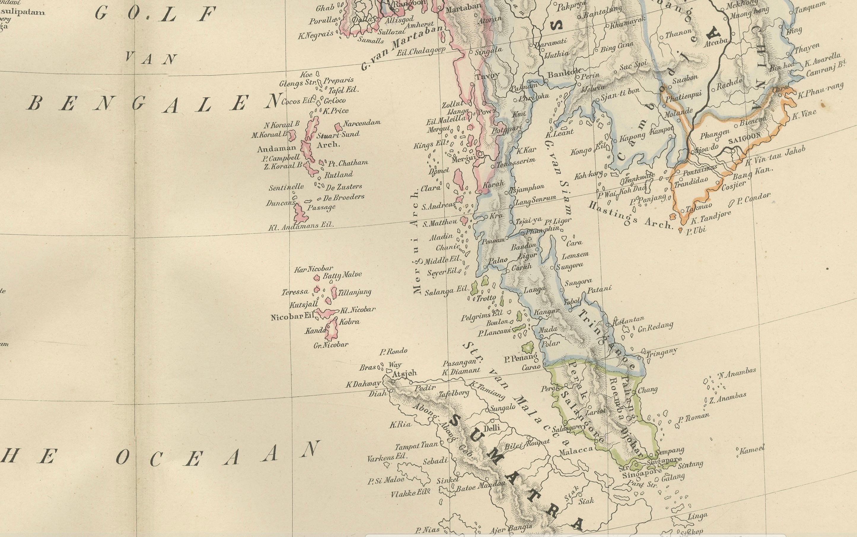
The map encompasses the vast territories of British India including present-day India, Pakistan, Bangladesh, Sri Lanka (Ceylon), Myanmar (Burma), Nepal, Bhutan, and parts of Tibet and Afghanistan. Hand-colored boundaries classify British possessions, protected states, princely states, and foreign dependencies according to the legend, offering an accurate representation of the complex political framework of the Raj during the late 19th century.
Major cities and trade centers—including Calcutta, Bombay, Madras, Delhi, Lahore, Agra, Benares (Varanasi), Karachi, Colombo, Rangoon (Yangon), Mandalay, Patna, Hyderabad, and Lucknow—are clearly labeled. The map also captures key geographical features such as the Himalayas, the Thar Desert, the Western and Eastern Ghats, the Brahmaputra River system, the Ganges plain, and the Indus basin. Mountain hachuring is meticulously engraved, giving the plate a dynamic sense of terrain.
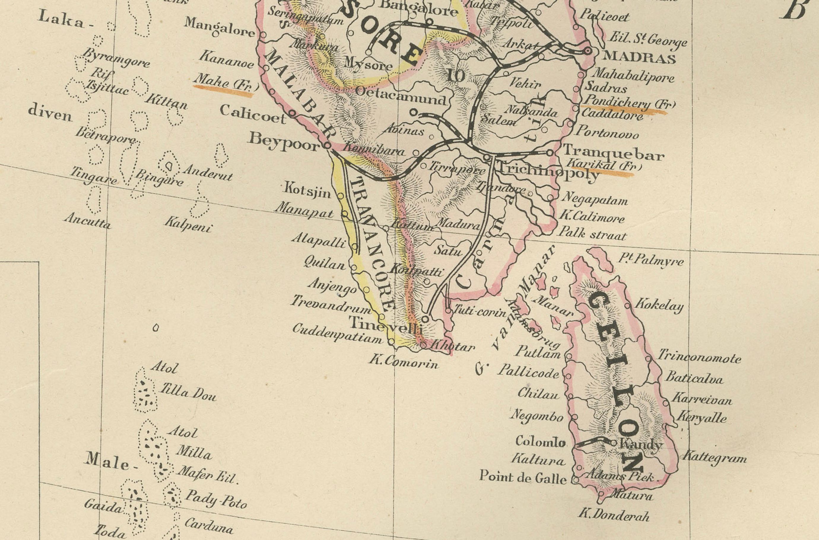
The eastern portion of the map highlights Burma as it appeared before full British annexation, while the Malay Peninsula appears at the lower right, illustrating connections between India and Southeast Asia. Ceylon (Sri Lanka) is shown in detail, emphasizing its strategic importance in the Indian Ocean and its colonial administrative structure.
This plate is not only a geographic document but also a clear visual summary of British administrative strategy, commercial routes, and political alliances. It reflects the economic and cultural networks that shaped the region during the Victorian period, making it a valuable historical artifact for collectors of colonial cartography, South Asian history, and 19th-century geopolitical studies.
Engraved with precision and enhanced by soft hand-coloring, the map exemplifies the high standards of Dutch atlas production and educational cartography of the time.
Condition Report: Good condition with uniform light toning and light foxing, mostly at the margins. Original center fold as issued. Image clear and well-preserved with attractive hand-colored boundary lines. No tears, losses, or repairs.
Framing Tips: A light ivory or warm cream mat highlights the hand-coloring and fine engraving. A medium or dark wood frame—walnut, teak, or black—adds elegance and pairs beautifully with interiors inspired by travel, history, or the British colonial period. A slightly wider mat helps balance the plate’s expansive detail.
Keywords: British India, British Raj, Hindostan, India, Pakistan, Bangladesh, Burma, Myanmar, Ceylon, Sri Lanka, Nepal, Bhutan, Tibet, Afghanistan, Bengal, Punjab, Bombay Presidency, Madras Presidency, Calcutta, Bombay, Mumbai, Delhi, Lahore, Rangoon, Yangon, Mandalay, Agra, Karachi, Colombo, Hyderabad, Lucknow, Himalayas, Ganges, Indus, Brahmaputra, Victorian cartography, 19th century India map, 1876 British India map, Nieuwe Hand-Atlas.