About this sheet
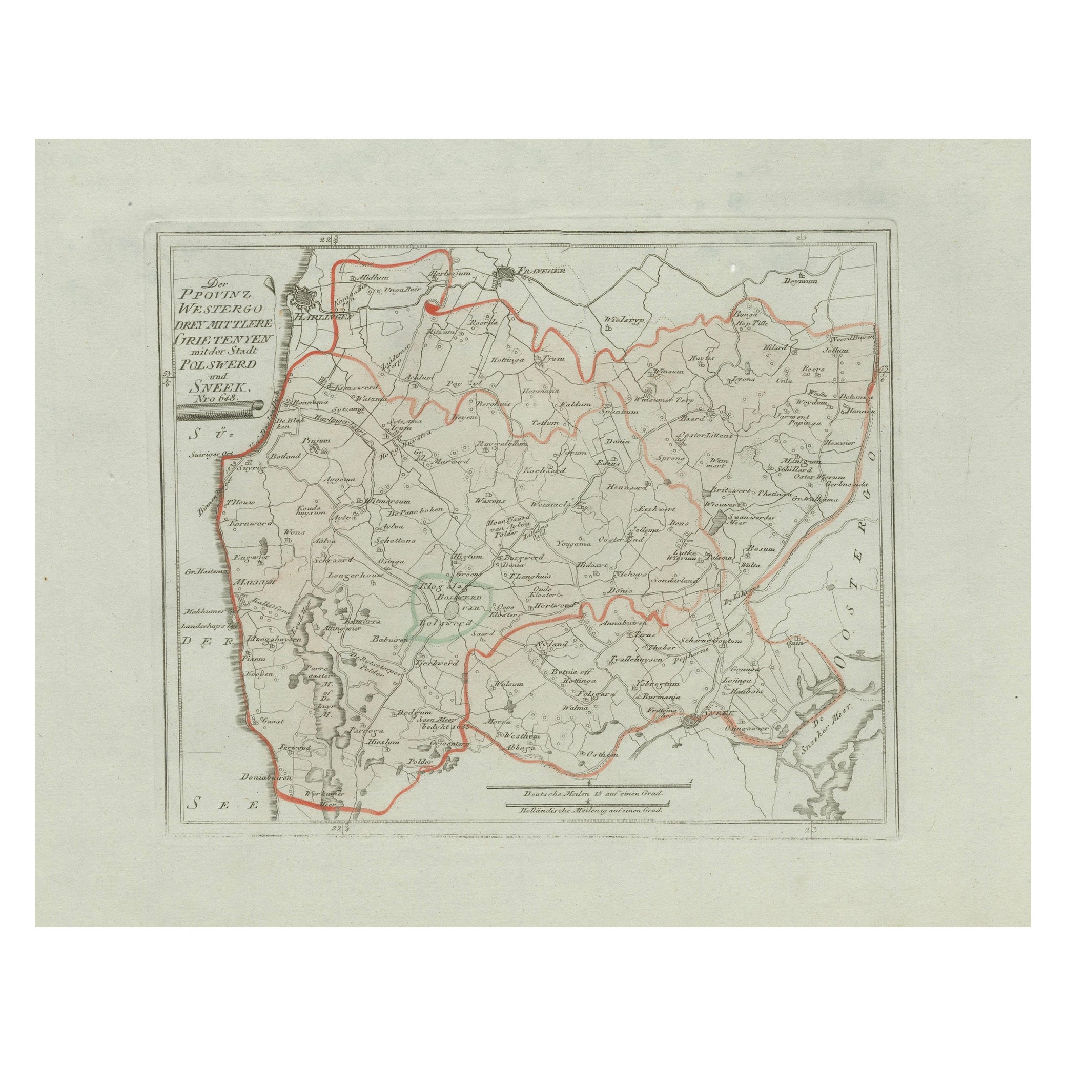
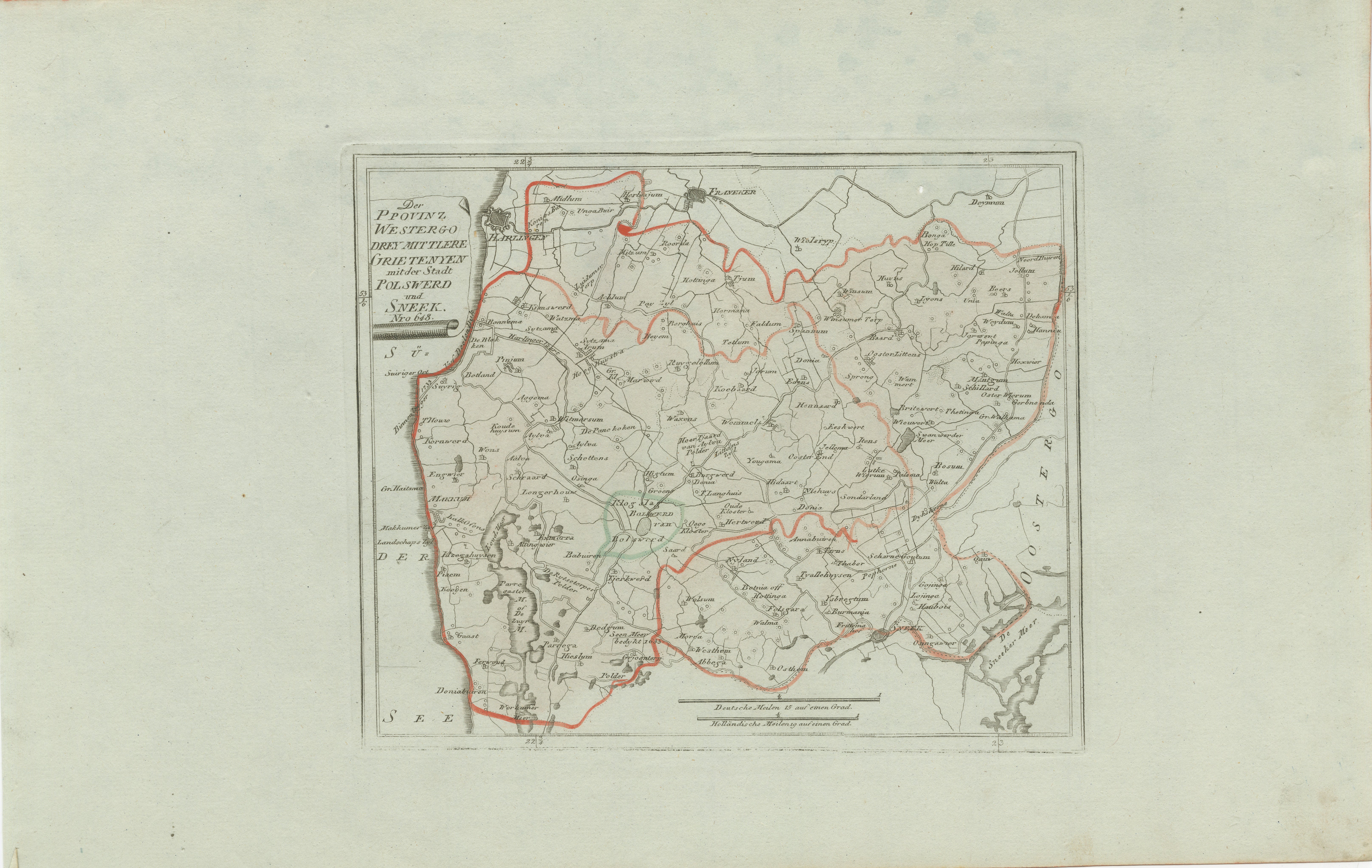
Antique Map of Sneek and Bolsward, Friesland by von Reilly, 1791
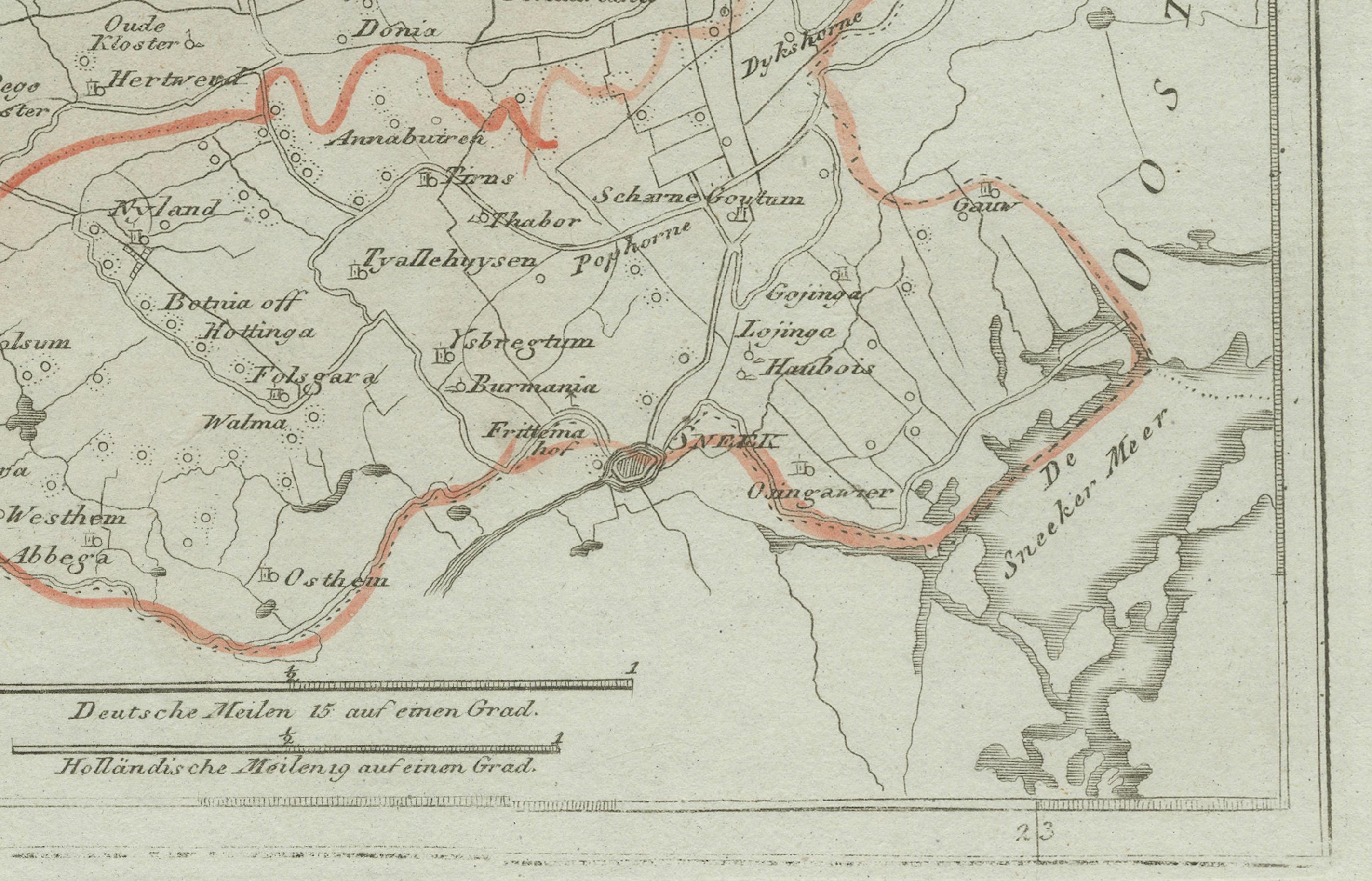
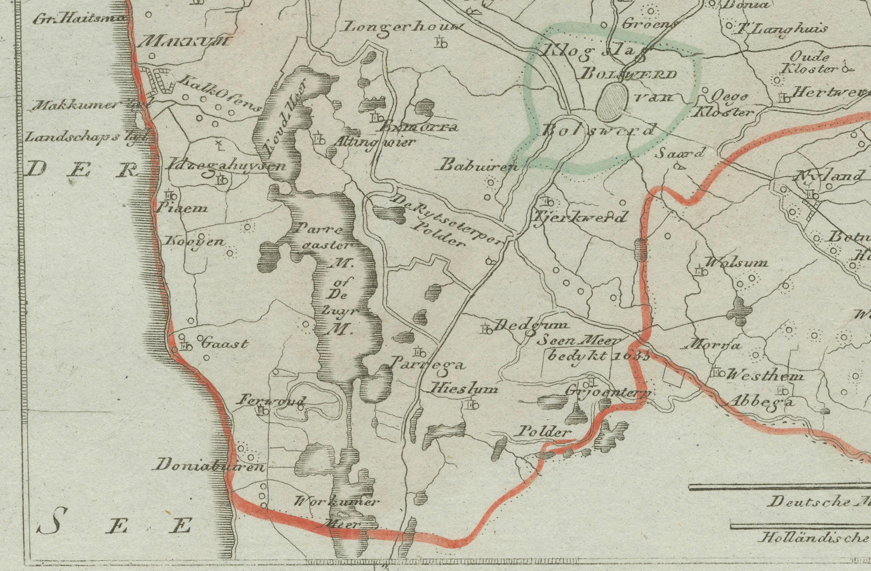
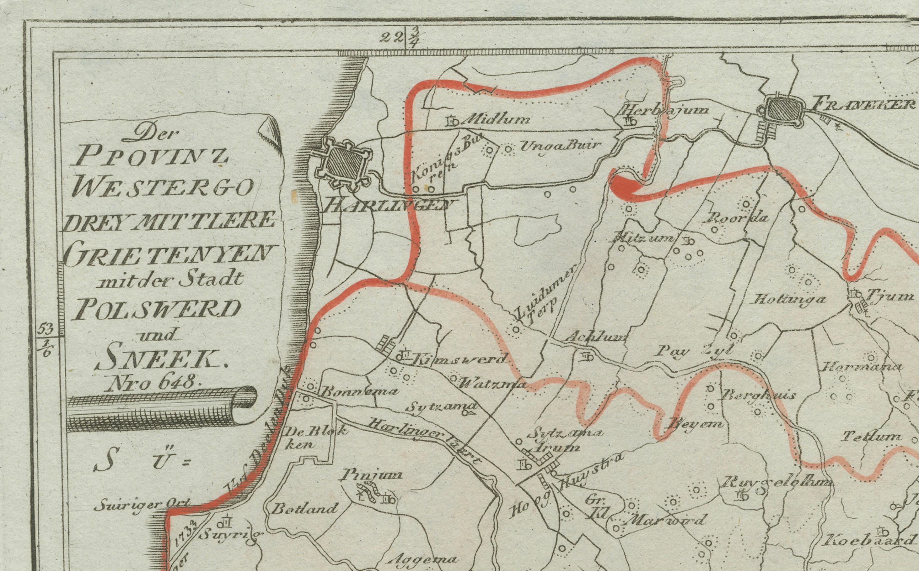
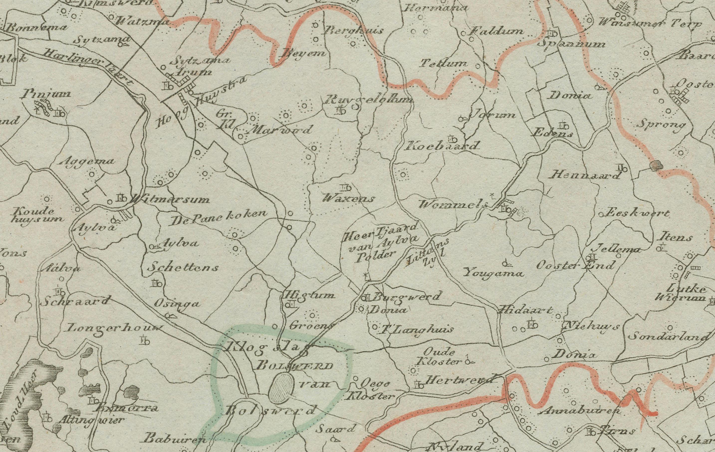
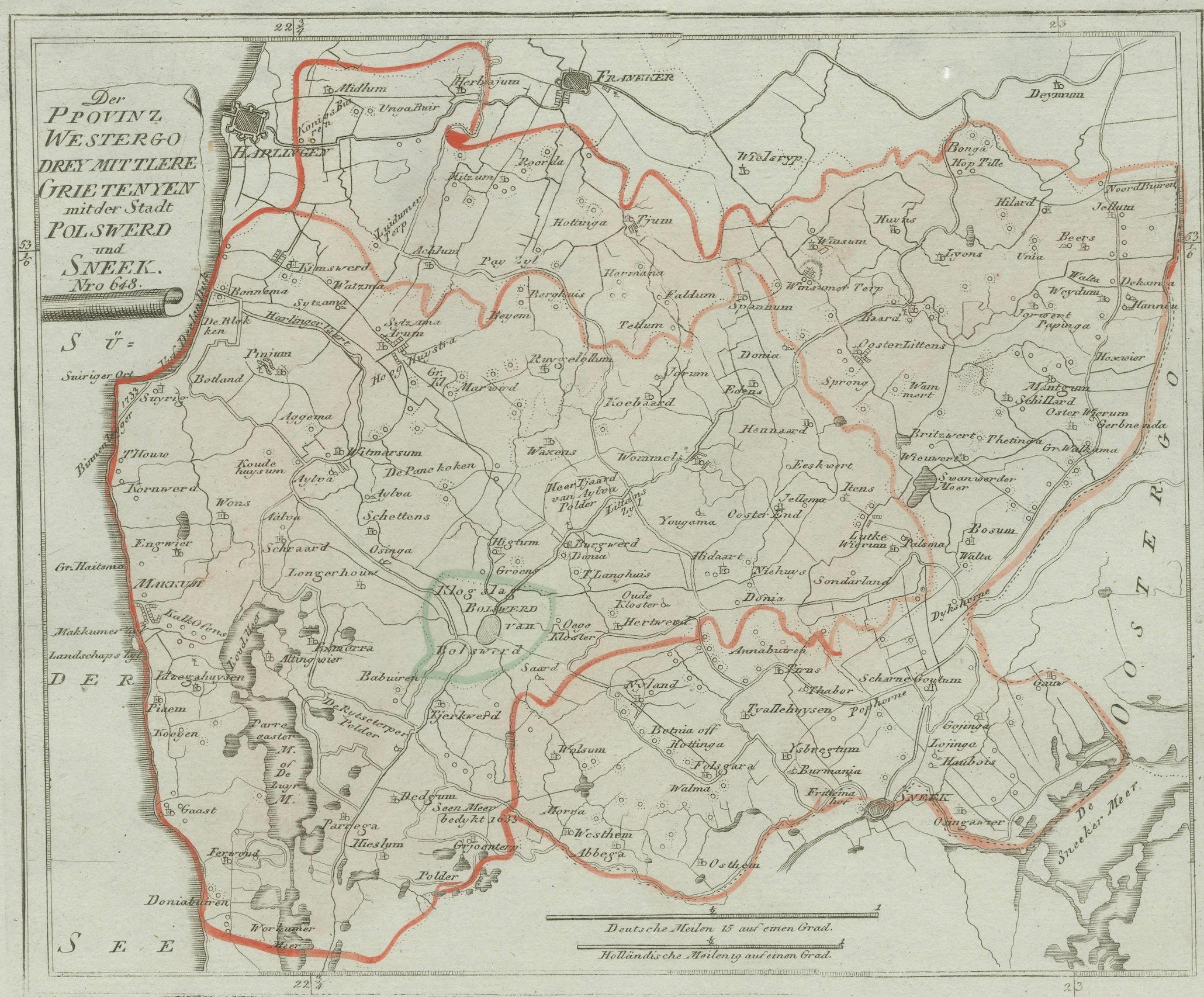
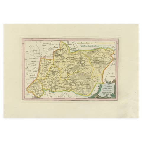
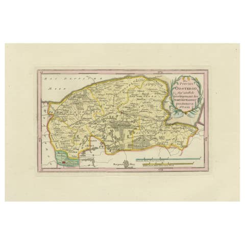
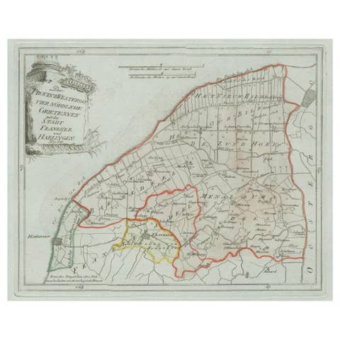
Original engraved map titled Der Provinz Westergo drey mittlere Grietenyen, mit der Stadt Bolsward und Sneek No. 641, published in Vienna in 1791. This detailed map presents the central districts of Westergo in Friesland, focusing on the important towns of Sneek (Snits) and Bolsward. It was issued in Franz Joseph Johann von Reilly’s Schauplatz der fünf Theile der Welt, one of the most significant Austrian atlas projects of the late 18th century, with engraving by Ignaz Alberti.
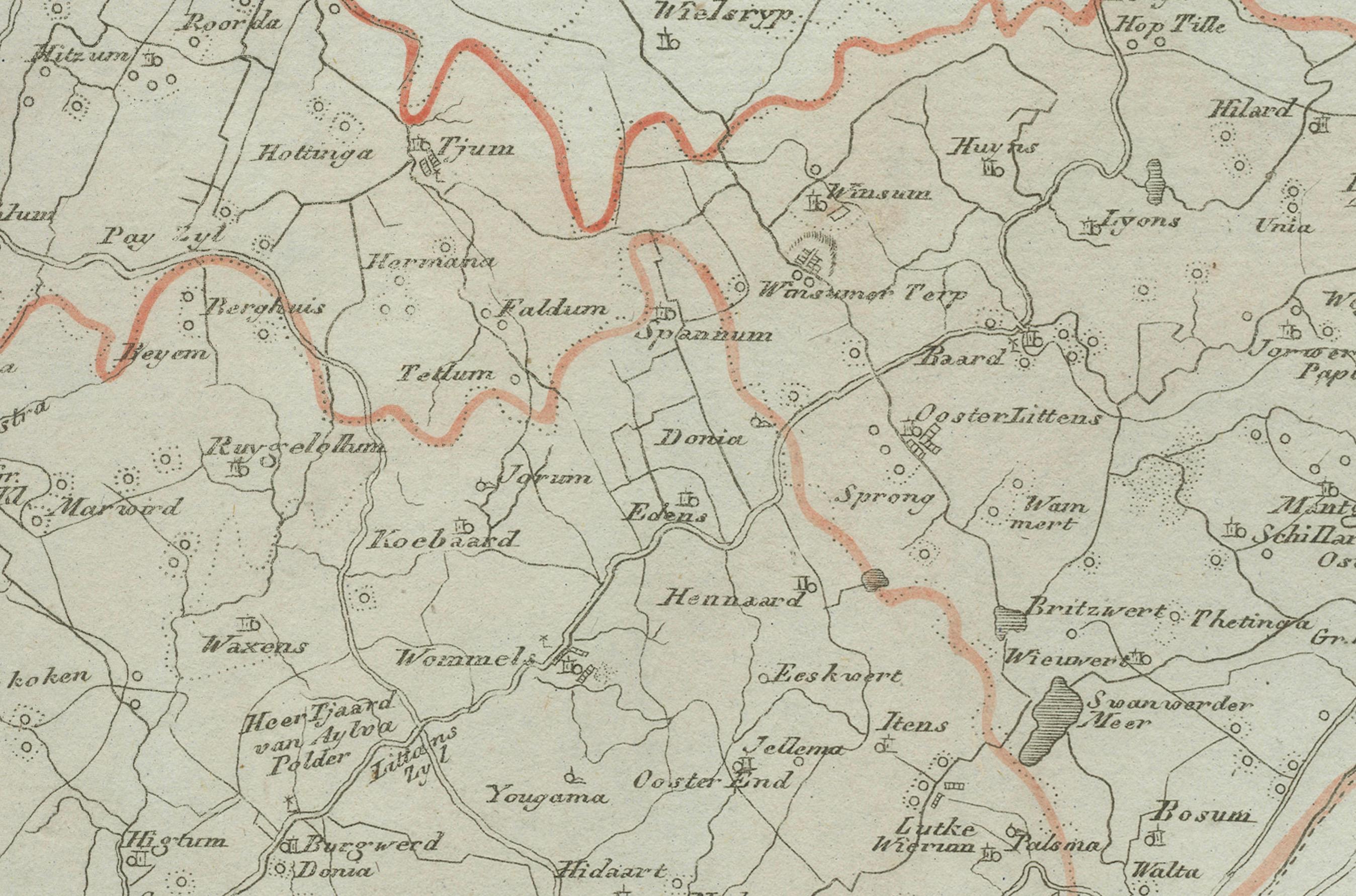
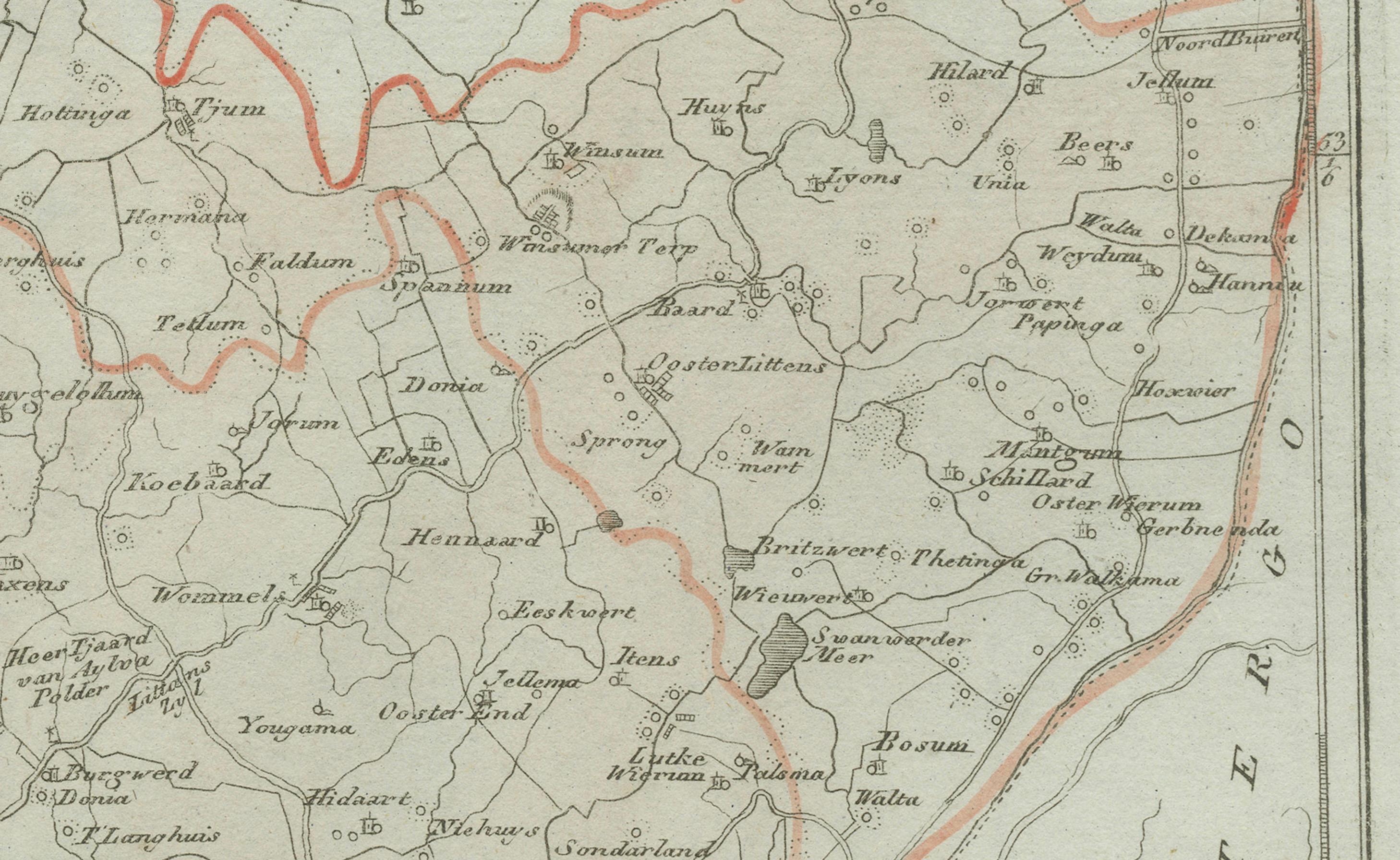
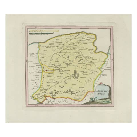
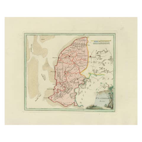
The map is filled with numerous Frisian towns and villages. Major centers include Sneek and Bolsward, both of which flourished as medieval cities with markets, shipping connections, and cultural life. Surrounding places shown include IJlst, Woudsend, Heeg, Hommerts, Oppenhuizen, Offingawier, Rauwerd (Raerd), Wartena (Warten), Akkrum, Jirnsum, Oudega, Abbega, Oosthem, Nijland, Scharnegoutum, Gauw, Tirns, Longerhouw, Schettens, Allingawier, Exmorra, Ferwoude, Parrega, Koudum, Bakhuizen, Balk, Oudega (Gaasterland), Wijckel, and Sloten (Sleat).
The map also depicts smaller hamlets and parishes such as Goënga, Loënga, Folsgare, Tirns, and Scharnegoutum, together with waterways, lakes, and polders that characterize this part of Friesland. Sneek is shown in its central position on the waterway network, while Bolsward appears slightly to the west as a trading hub.
With its density of place names and carefully drawn boundaries, this map captures the economic and agricultural heartland of Friesland at the end of the 18th century. Its emphasis on towns, waterways, and reclaimed land makes it especially valuable for regional historians, genealogists, and collectors of Dutch provincial maps.
The decorative cartouche at upper left frames the title in a neoclassical style, adding to the map’s aesthetic appeal. Boundaries are outlined in original hand coloring, distinguishing the rural districts (grietenijen).
Condition report: Very good condition with light age toning. Some faint marginal spotting, well outside the image area. Original hand coloring preserved. Blank verso.
Framing tips: A dark wood or gilt frame with a cream or ivory mat will highlight the hand coloring and engraved detail. A thin red or green inner line can echo the boundary colors, giving the map greater depth.
Technique: Engraving with original hand color
Maker: Franz Joseph Johann von Reilly, engraved by Ignaz Alberti, Vienna, 1791