About this sheet
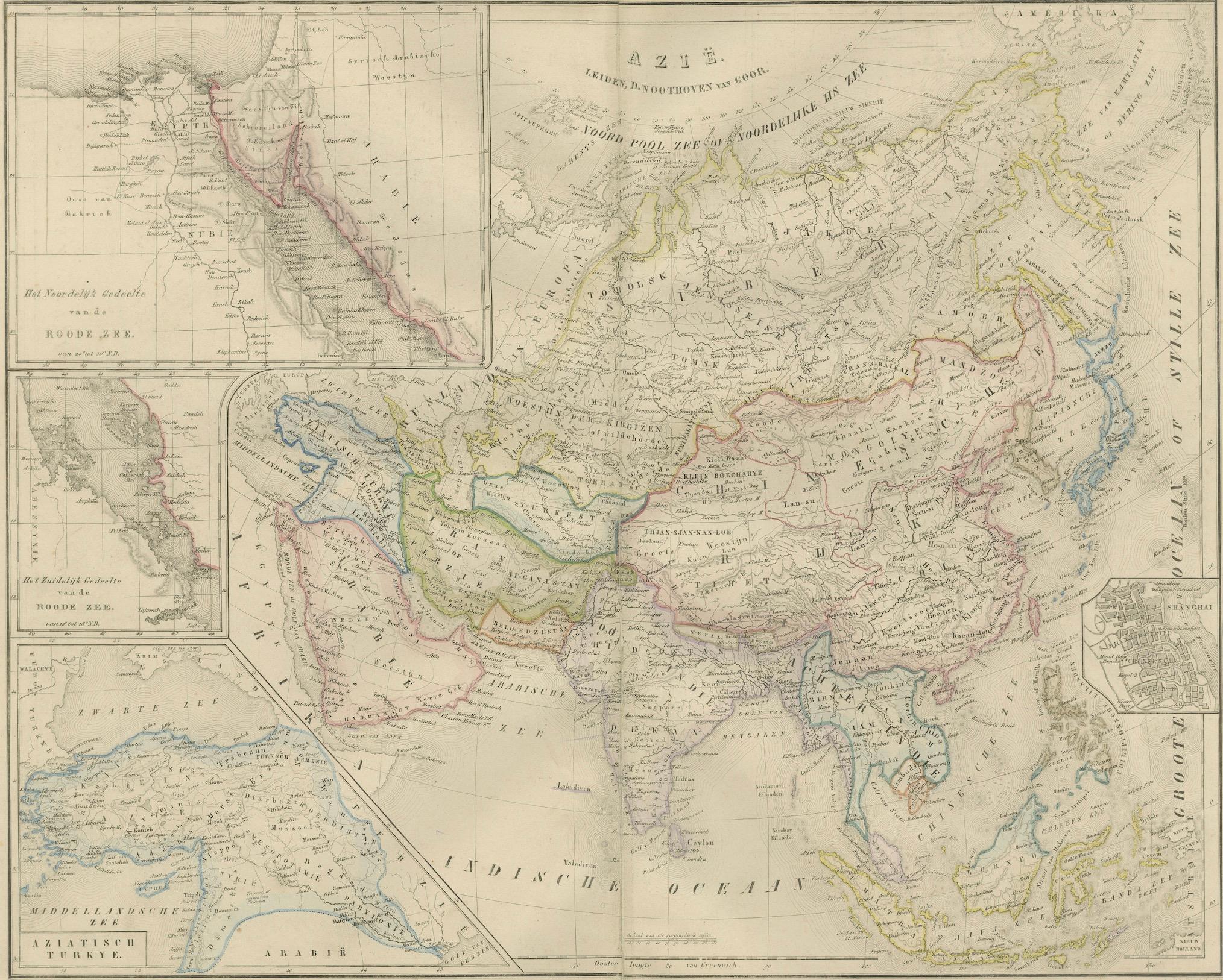
Asia Map with Middle East & India Insets – Nieuwe Hand-Atlas, Leiden 1876
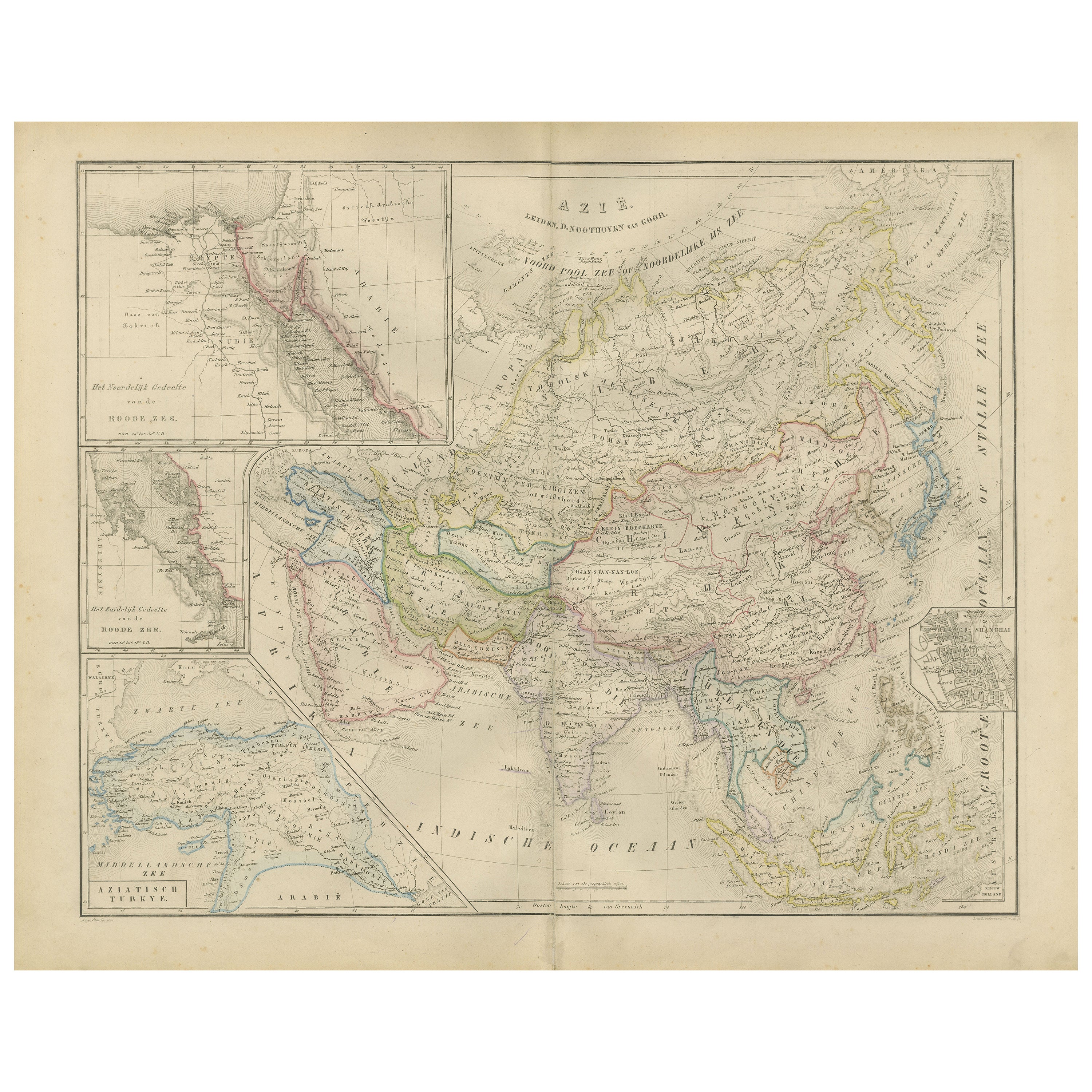
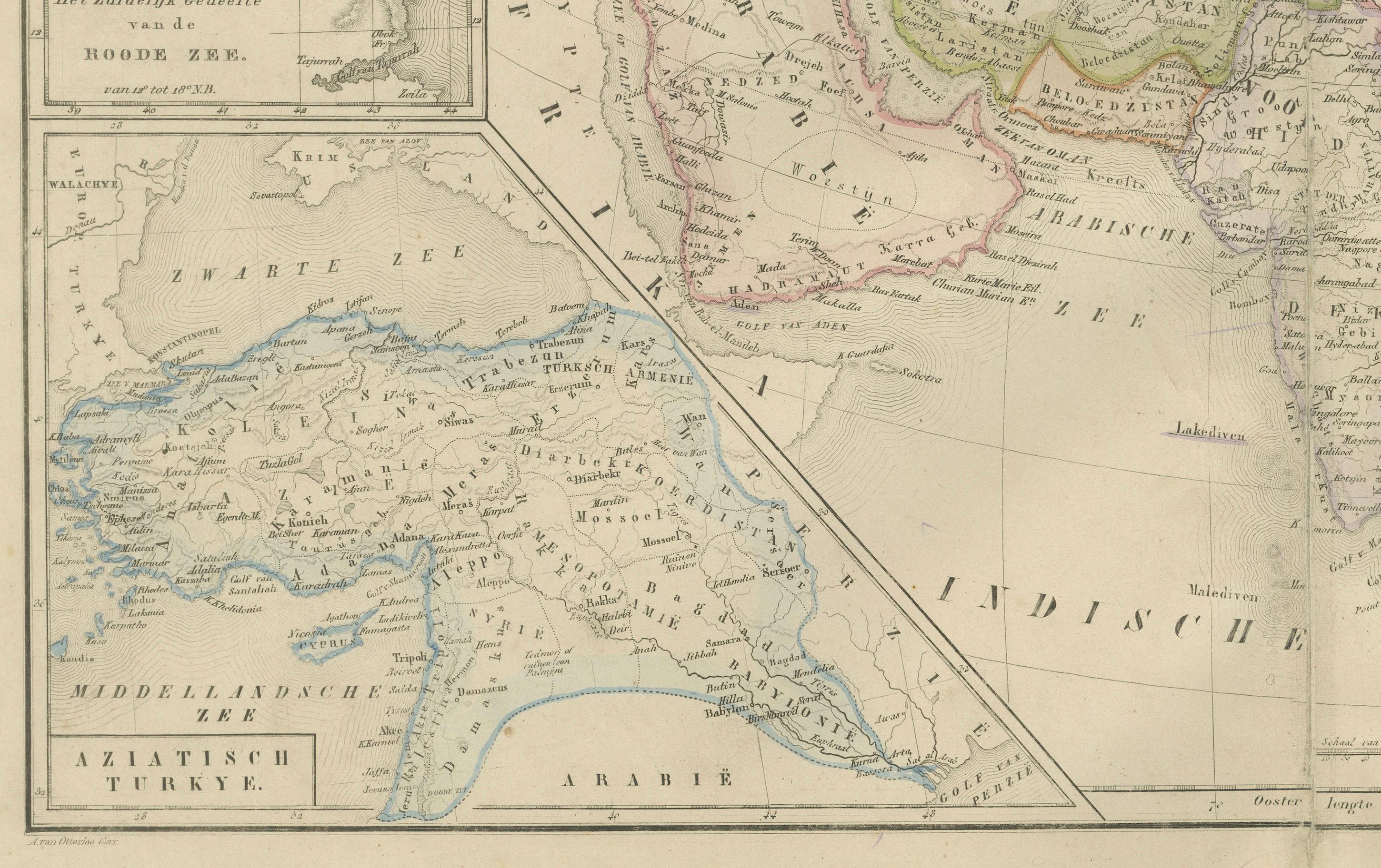
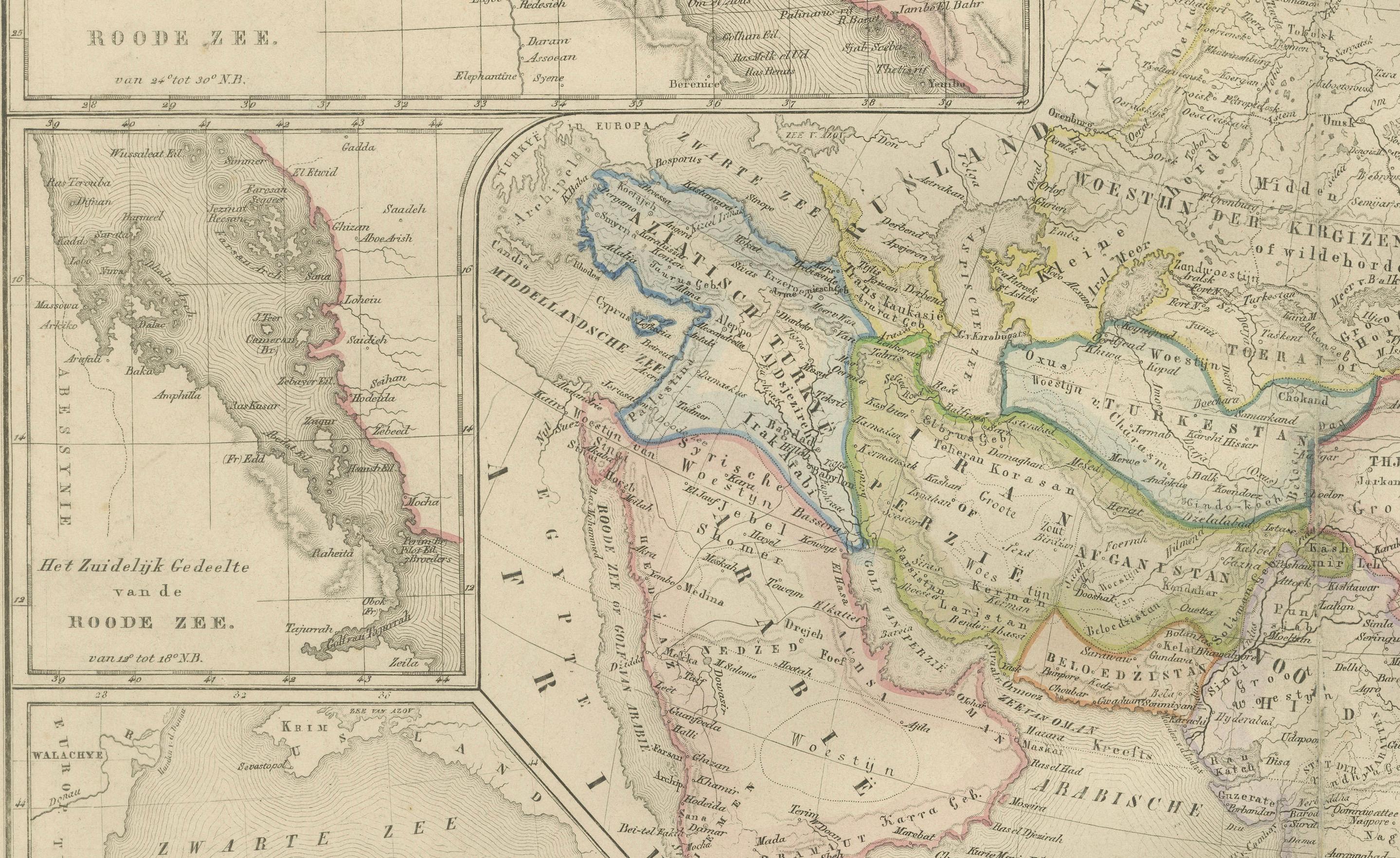
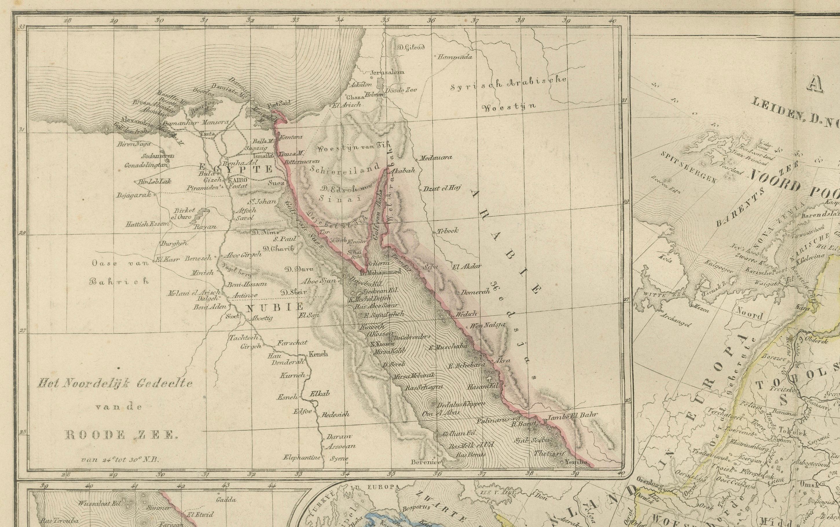
This large, beautifully engraved 19th-century map titled “Azië” presents the full Asian continent in sweeping detail. Published in 1876 in the *Nieuwe Hand-Atlas der Aarde in haren Tegenwoordigen Toestand* by M. Frijlink, revised by A. van Otterloo and issued by D. Noothoven van Goor in Leiden, this plate captures Asia during a period marked by imperial expansion, shifting borders, and increasing international trade routes.
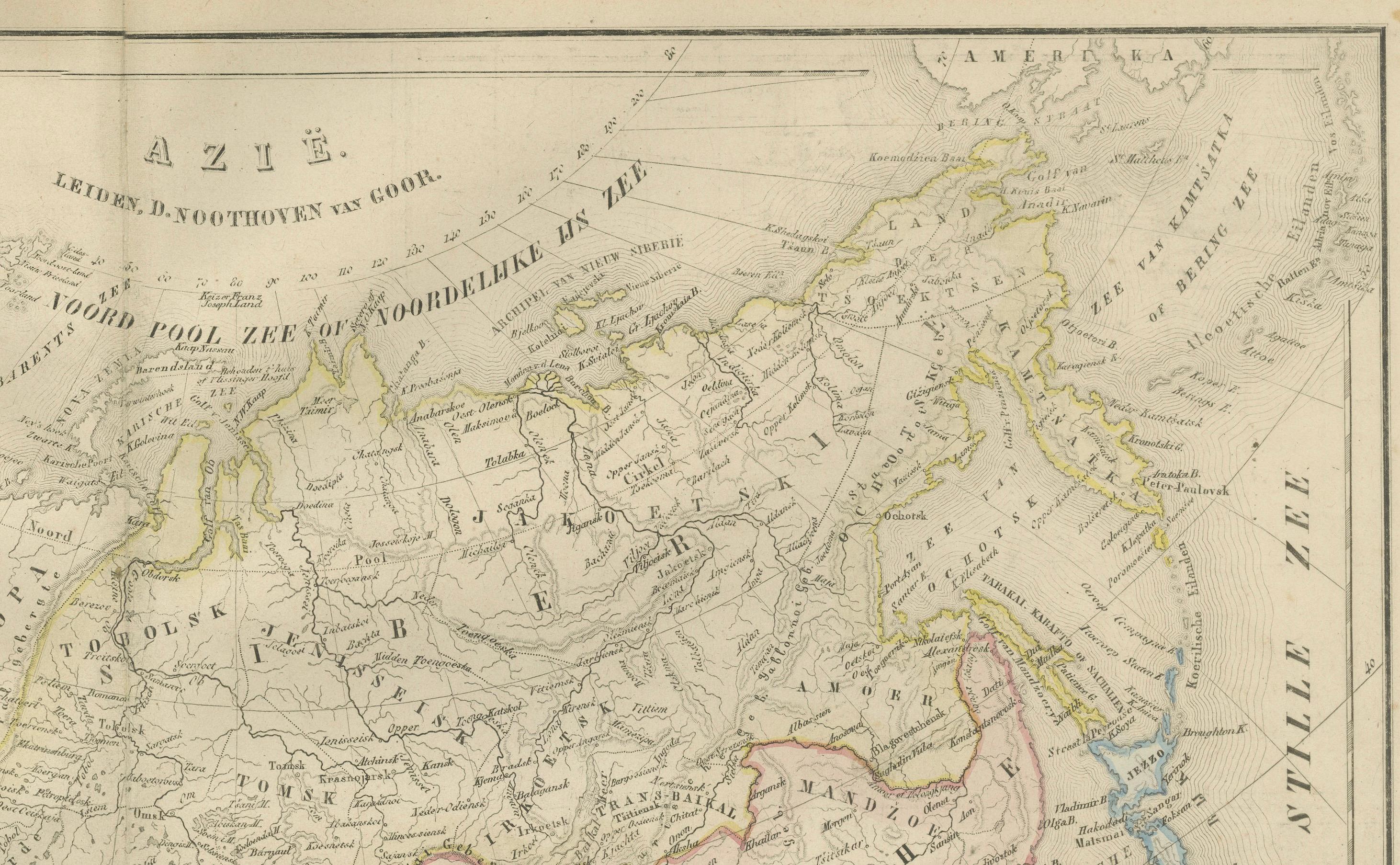
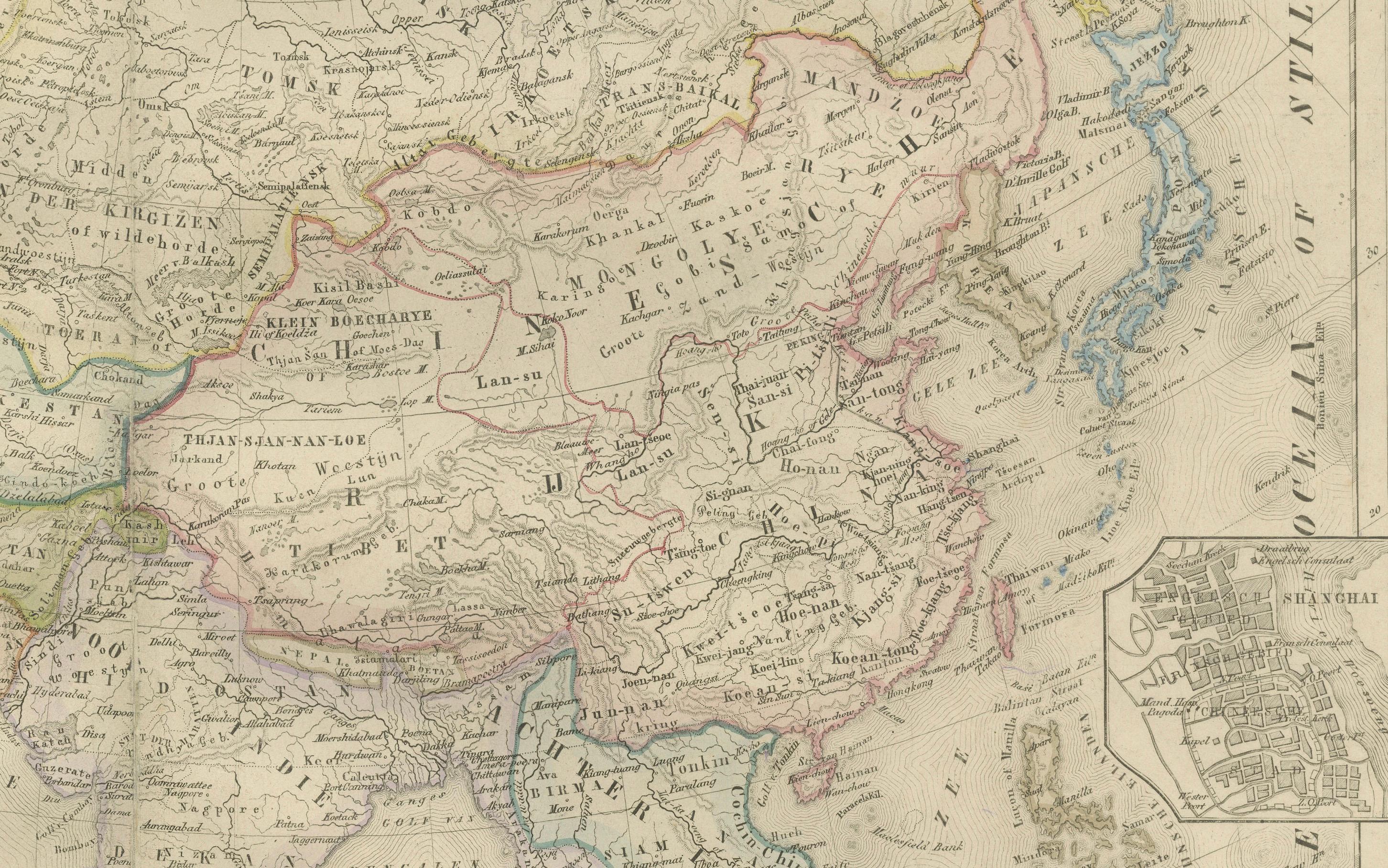
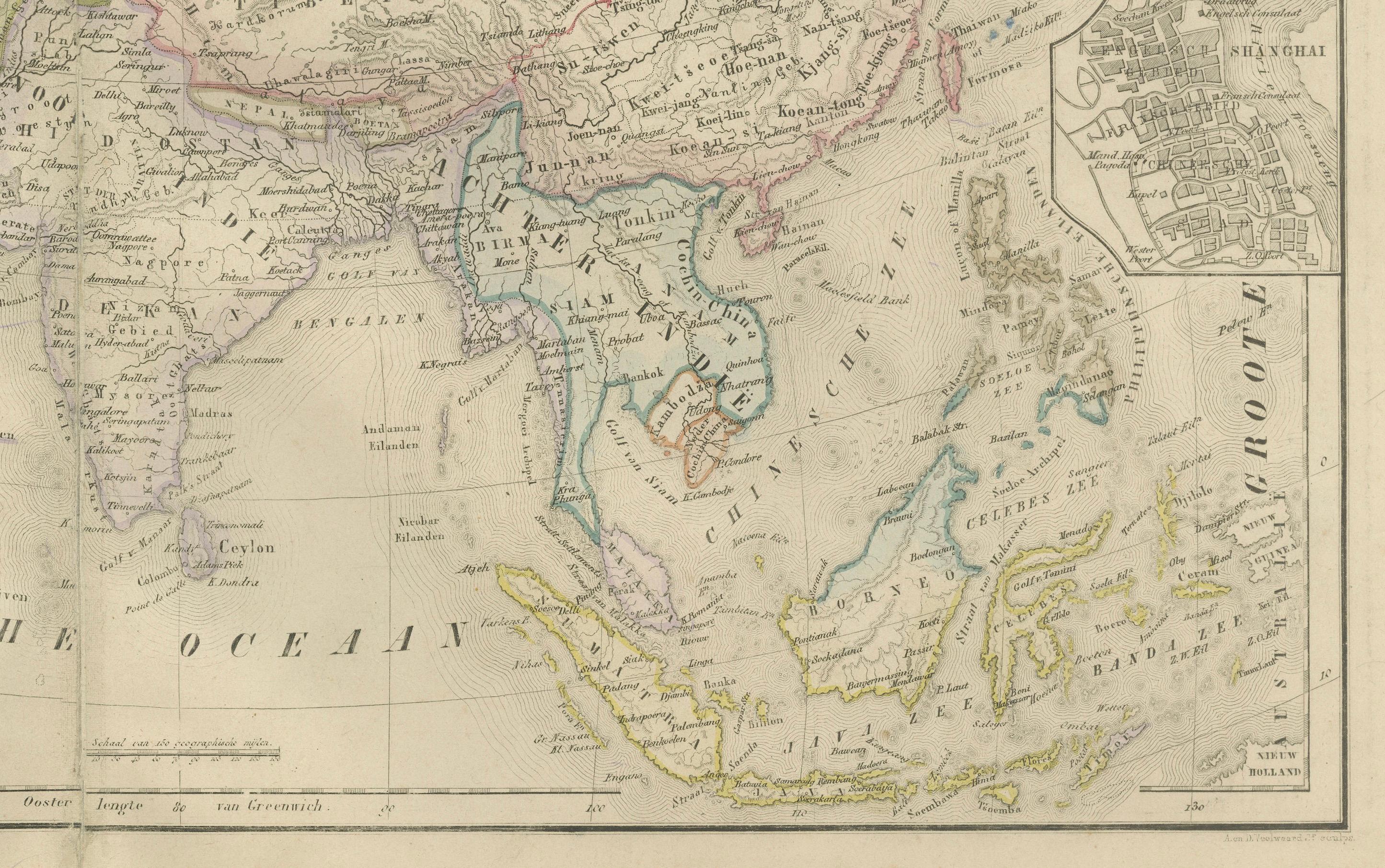
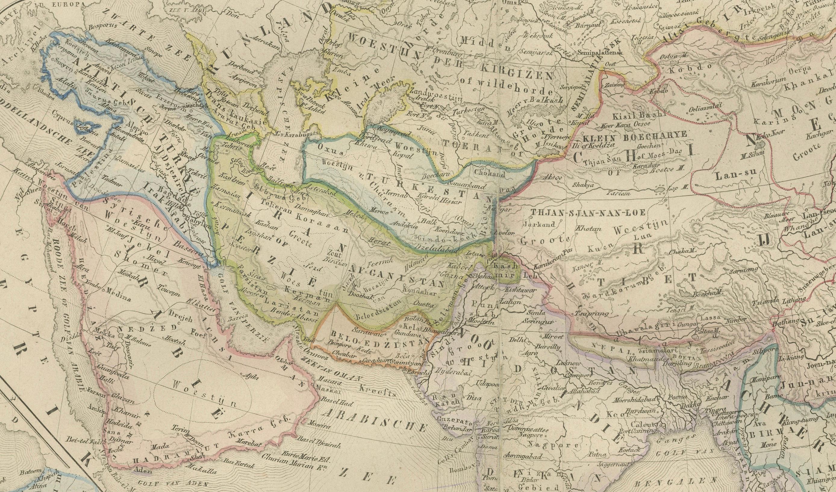
The map spans from the Mediterranean to Japan and from the Arctic regions to the Indonesian archipelago. It features the immense territories of the Russian Empire in Siberia and Central Asia; the Qing Empire covering China, Mongolia, and Tibet; the Indian subcontinent under British control; Persia, Arabia, and the Ottoman provinces of the Middle East; and Southeast Asia including Siam, Burma, Annam, Cochinchina, Borneo, Sumatra, Java, the Philippines, and the Malay Peninsula.
Hand-colored boundary lines show the geopolitical divisions of the era with clarity, illustrating the complex patchwork of empires, kingdoms, and protectorates. Major cities—Calcutta, Bombay, Delhi, Peking (Beijing), Nanking, Canton, Tokyo (Yedo), Edo, Nagasaki, Bangkok, Saigon, Batavia, Tehran, Mecca, Jedda, Tabriz, Kabul, Samarkand, Tashkent, and Irkutsk—are sharply labeled, reflecting the important commercial, religious, and administrative centers of the time.
Inset maps provide additional depth. One focuses on the Middle East and the Ottoman provinces around the Levant and Mesopotamia; another details the northwest Indian frontier; a third inset illustrates the region around the Persian Gulf and the Arabian coast. These insets highlight areas that were strategically significant in 19th-century geopolitics and imperial competition.
The engraving is remarkably detailed: mountain chains such as the Himalayas, Hindu Kush, Tian Shan, Ural Mountains, and Japanese Alps are rendered with fine hachuring. Rivers including the Ganges, Indus, Mekong, Yangtze, Huang He, Amur, Euphrates, and Tigris appear with clarity. Trade routes, deserts, and climatic zones further enrich the map’s scientific value.
This map stands as an elegant document of a continent on the edge of modern transformation. Its combination of precision, scale, and subtle color makes it an impressive display piece for collectors of Asian history, cartography, or 19th-century colonial-era maps.
Condition Report: Good overall condition with uniform light toning and scattered small foxing, mostly at the margins. Original center fold as issued. Engraving sharp with well-preserved hand-coloring. No tears, holes, or repairs.
Framing Tips: A warm ivory or soft cream mat highlights the subtle color washes, while a dark wood or black frame gives the map a strong presence suitable for offices, libraries, and travel-themed interiors. This plate benefits from a slightly wider frame spacing due to its rich detail and multiple insets.
Keywords: Asia, Azië, Siberia, Russian Empire, China, Qing Empire, Mongolia, Tibet, Manchuria, Japan, Edo, Tokyo, Korea, India, British India, Punjab, Bengal, Bombay, Calcutta, Delhi, Indochina, Vietnam, Annam, Tonkin, Cochinchina, Burma, Siam, Thailand, Laos, Cambodia, Malaya, Singapore, Borneo, Sumatra, Java, Batavia, Philippines, Persia, Iran, Afghanistan, Kabul, Herat, Arabia, Mecca, Medina, Jedda, Yemen, Oman, Persian Gulf, Mesopotamia, Iraq, Syria, Levant, Turkey in Asia, Caucasus, Armenia, Georgia, Central Asia, Samarkand, Bukhara, Tashkent, Caspian Sea, Aral Sea, Himalayas, Ganges, Indus, Yangtze, Yellow River, Amur, 19th century Asia map, 1876 Asia map, Nieuwe Hand-Atlas.