maps-prints.com
✦
Black Friday Sale
Friday 20 to Monday 30 November: up to 30% off original antique maps and prints
The terms
- Up to 30% off selected original antique maps and prints. Every piece is an original, printed in its own time; none is a reproduction.
- The sale runs from Friday 20 November to Monday 30 November. Sale prices shown here apply from Friday 20 November; until then pieces are sold at their regular price.
- Free FedEx shipping on qualifying orders placed on our own websites: USA, Canada, UK and Europe over $500 / €450; rest of the world over $750 / €675. Smaller orders pay our normal shipping rate.
- Orders placed from 15 to 30 November ship from 1 December, in time for Christmas. Our shipping partner is InXpress.
- Each piece is unique, so the sale is while stock lasts.
Collection:AllAmericanSea chartsMilitaryNatural historyFashionArchitectureBotanicalSacredEast Indies
Sale prices apply from Friday 20 November. Save the pieces you like with the heart and come back on Friday.
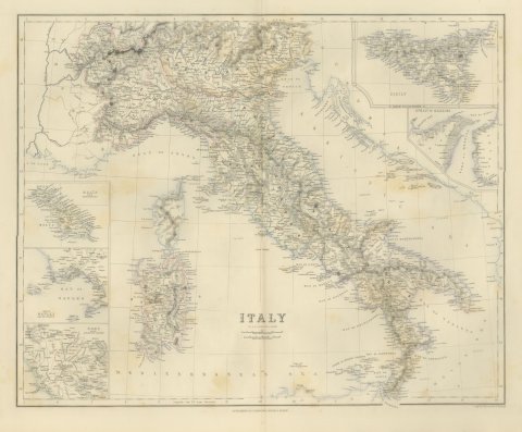 Antique Map of Italy with Sicily, Malta and Bay of Naples Insets, circa 1860
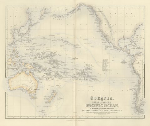 Antique Map of Oceania and the Pacific with the Sandwich Islands, circa 1860
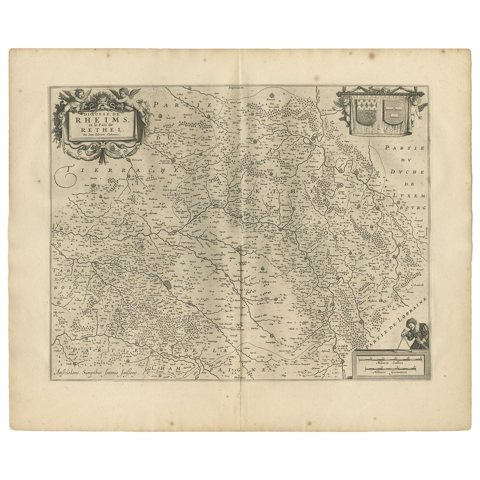 Antique Map of the Region of Rethelois by Janssonius, 1657
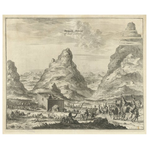 Rare Engraving of Mount Sinai with St. Catherine's Monastery and Bedouins, 1680
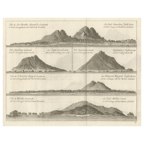 Views of Saunders, Osnaburg, Boscawens, Admiral Keppel's & Wallis Island, c.1774
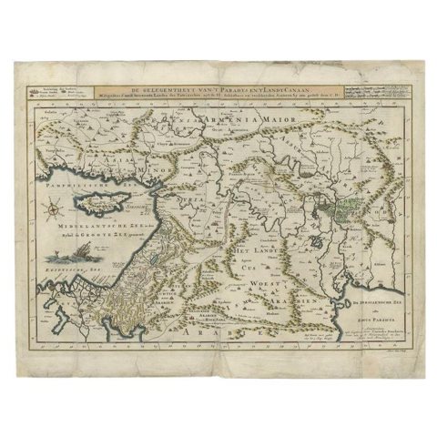 Antique Map of the Mediterranean and the Persian Gulf by Danckerts, c.1718
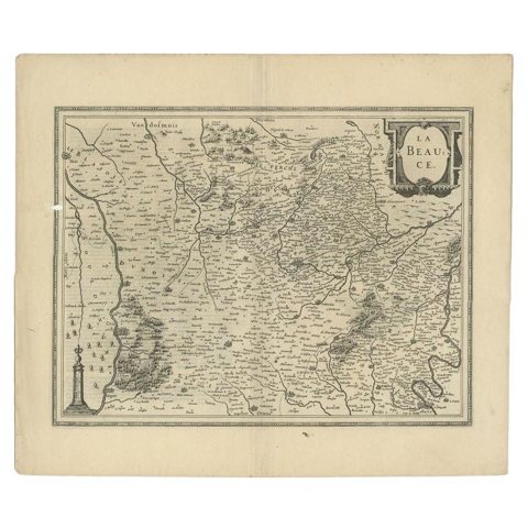 Antique Map of the Region of Beauce in France by Janssonius, c.1650
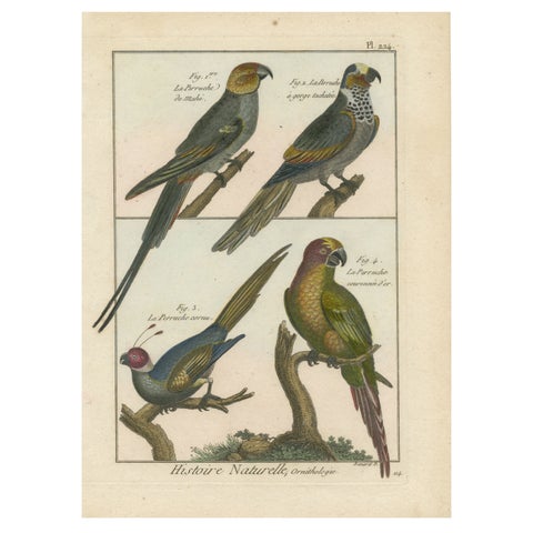 Original, Beautifully Richly Colored, Copper Engraving of Four Parakeets '1792'
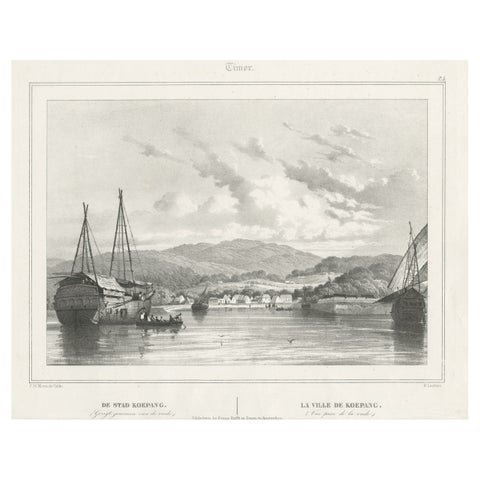 Antique Print of Kupang or Koepang in the East Indies, Now West-Timor, Indonesia
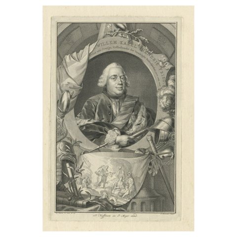 Antique Portrait of William Charles Henry Friso of Orange, 1751
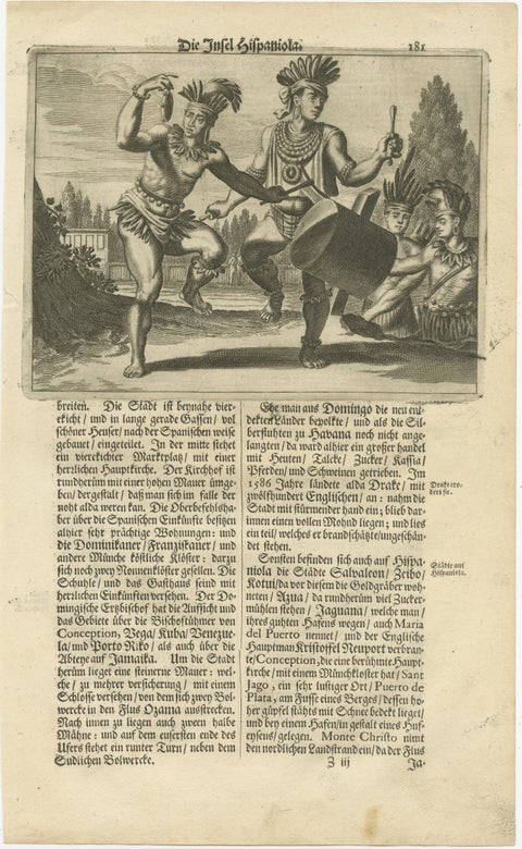 Copper Engraving of Hispaniola - Indigenous Life in America by Montanus, 1673
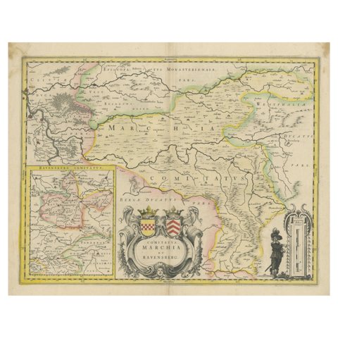 Map of Comitatus Marchia et Ravensberg: Historical Counties in Germany, c.1660
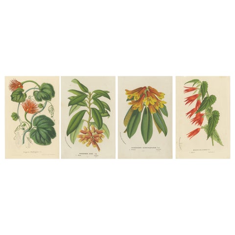 Lush and Vibrant: A Collection of Exotic Botanical Illustrations, circa 1875
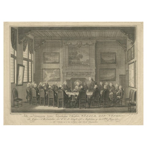 Meeting of the VOC Directors with Prince William V, Amsterdam 1768
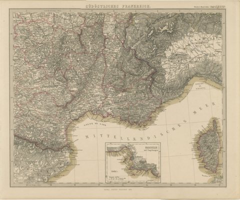 1858 Map of South France with Corsica – Marseille to Italian Border
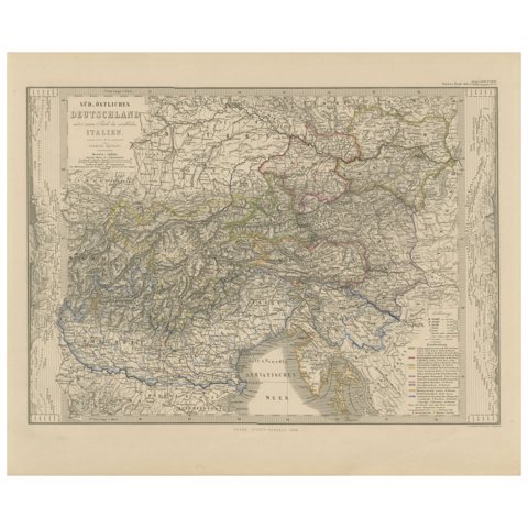 Antique Habsburg Empire Map – Southeastern Germany to Venice, 1858
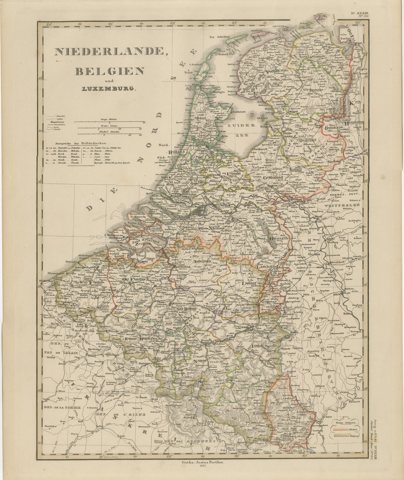 Benelux Antique Map – Netherlands, Belgium & Luxembourg by Perthes, 1857
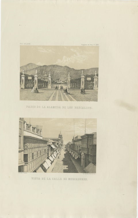 Antique Lithographs of Lima Peru 1865 – Paseo de los Descalzos & Mercaderes
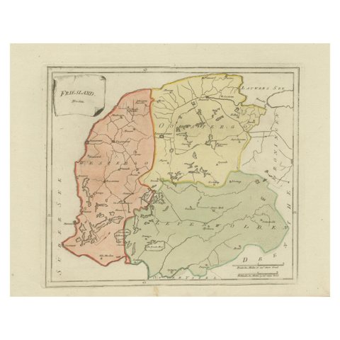 Antique General Map of Friesland – Dutch Provincial Map by von Reilly, 1791
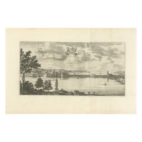 Antique Engraving of Königsberg from Suecia Antiqua et Hodierna, c.1690
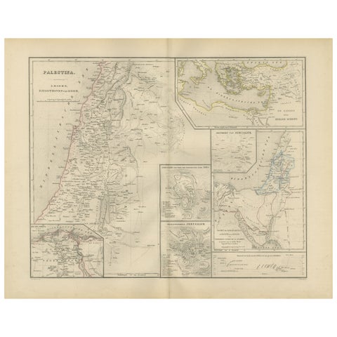 Palestine & Holy Land Map with Jerusalem Insets – Nieuwe Hand-Atlas, 1876
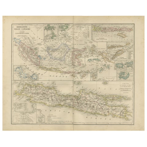 Netherlands East Indies Map with Java Inset – Nieuwe Hand-Atlas, 1876
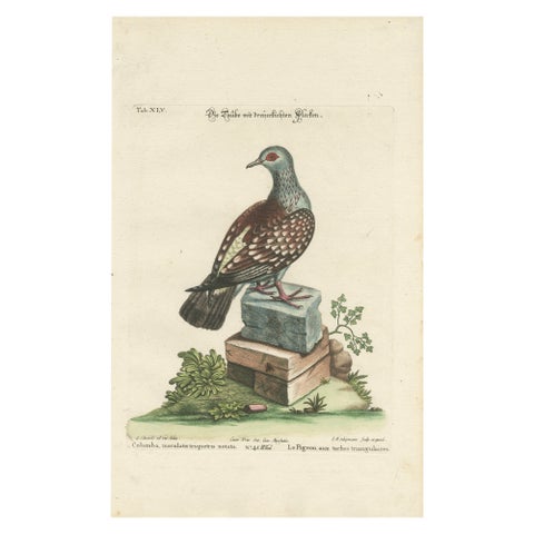 Antique Hand-Colored Pigeon Engraving, Copperplate, Circa 1770
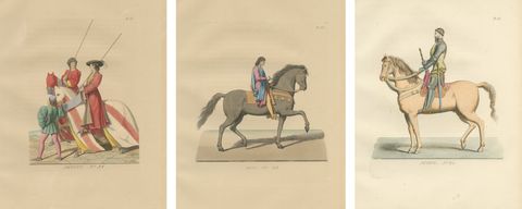 Medieval Italian Equestrian Figures & Tournament Judges – Bonnard 1860 Set
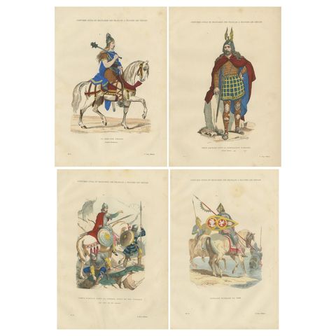 Early French Warriors and Nobility, Gaulish to Norman Cavalry, 4-Plate Set, 1860
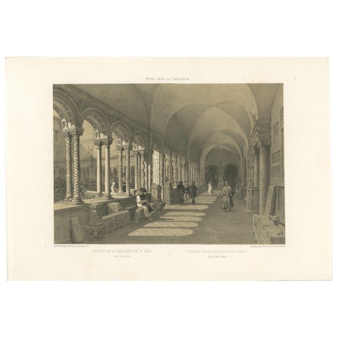 Cloister of San Paolo fuori le Mura, Rome, Antique Architectural Print 1869
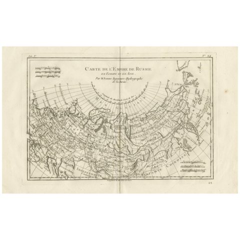 Russian Empire in Europe & Asia – Enlightenment Map by Rigobert Bonne, c.1780
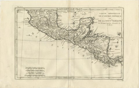 Southern Mexico & New Spain – Enlightenment Map by Rigobert Bonne, c.1780
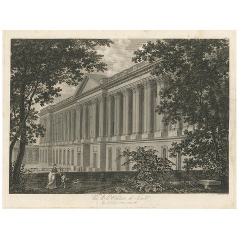 Antique Louvre Paris Colonnade Architectural Engraving, French Neoclassical 1803
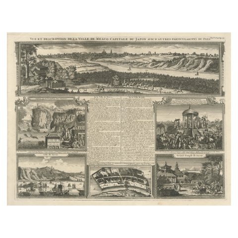 Antique Japan View — Meaco (Kyoto), Deshima & Japanese Scenes, Chatelain, c.1719
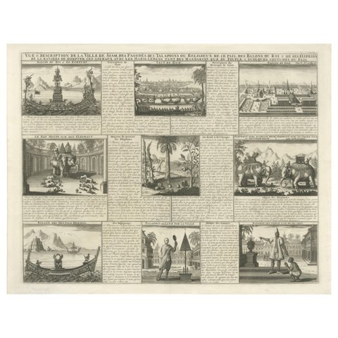 Antique View of Siam — Royal Barges, Elephants & Customs Engraving, ca.1720
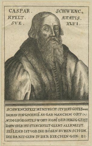 Caspar Schwenckfeld Portrait – 16thC Reformation Print, Polemical Engraving
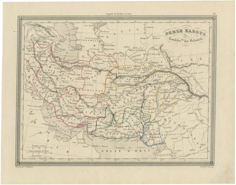 Antique Persia Map, Iran Afghanistan & Central Asia, The Great Game Era, c.1850
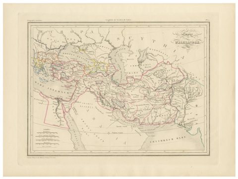 Empire d’Alexandre Map of Alexander the Great’s Empire, Paris, c.1850
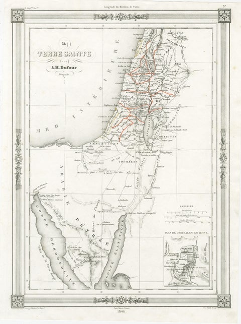 Holy Land Map, Jerusalem & Sinai — Dufour Biblical Map, Paris 1846
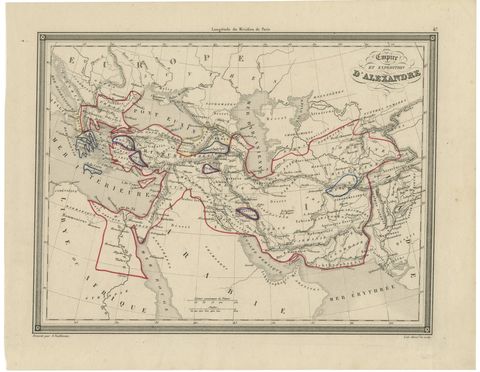 Alexander the Great’s Empire Map — Classical Campaign Routes, c.1800
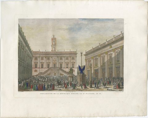 Proclamation of the Roman Republic 1798 – Napoleonic Era Engraving, 1808
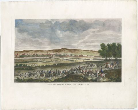 Entry of French Troops into Turin 1798 – Napoleonic Era Engraving, 1808
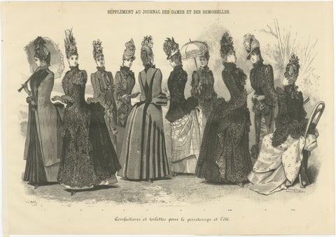 Large French Fashion Plate, Panoramic Couture Study, Paris, c.1887
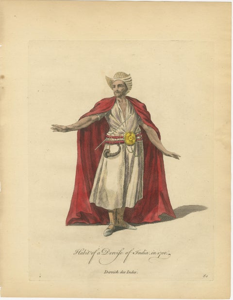 Habit of a Dervish of India, 1700 – Hand-Colored Costume Engraving
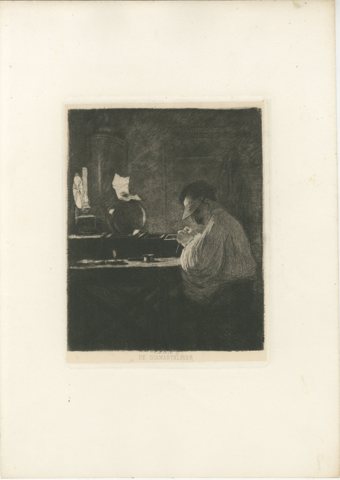 The Diamond Cleaver, Amsterdam Diamond Industry – Etching by C.L. Dake, 1888
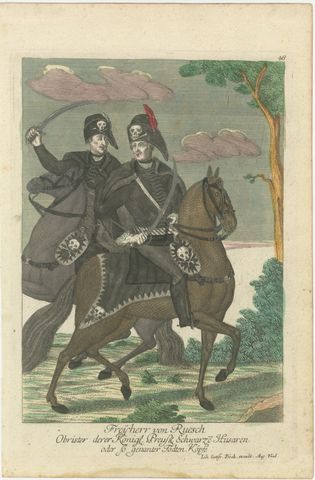 Death's Head Skull Hussars, Freiherr von Ruesch, Hand-Colored Engraving, c.1750
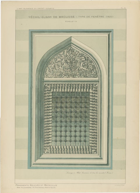 Green Mosque Window, Bursa Turkey, Ottoman Islamic Architecture Print, 1924
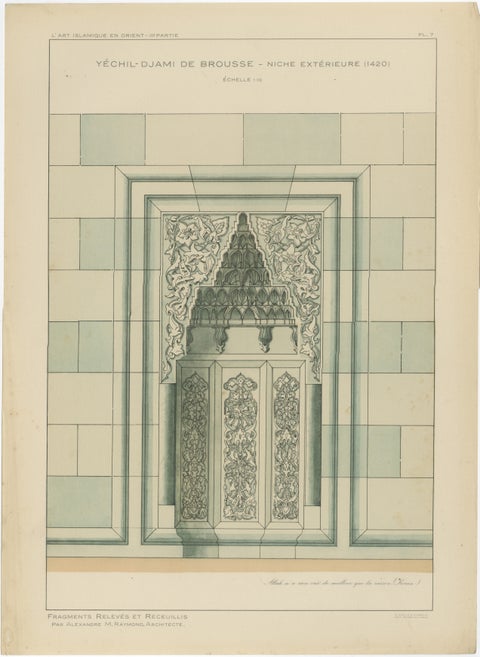 Antique Islamic Architectural Print, Ottoman Niche Design, Bursa Turkey, 1924
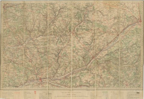 Antique French Folding Map of Tours, Le Mans & Chartres, c.1902 Etat-Major
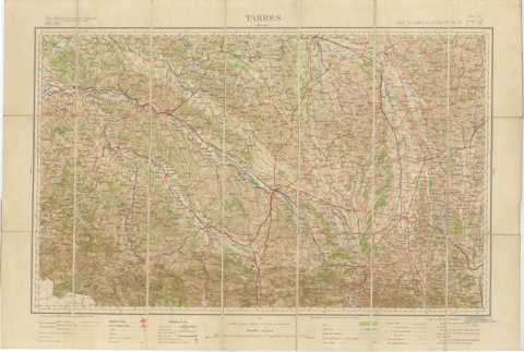 Antique Tarbes & French Pyrenees Folding Map, Edward Stanford, 1922
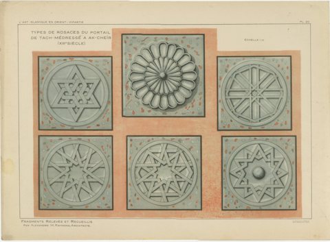 Seljuk Rosette Designs from Akşehir Mosque Portal, Raymond, c. 1924
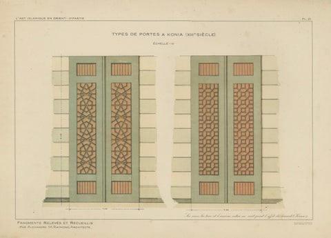 Seljuk Geometric Door Designs of Konya, Islamic Architecture, Raymond 1924
Sharing the sale? Download the Black Friday banners.