About this sheet
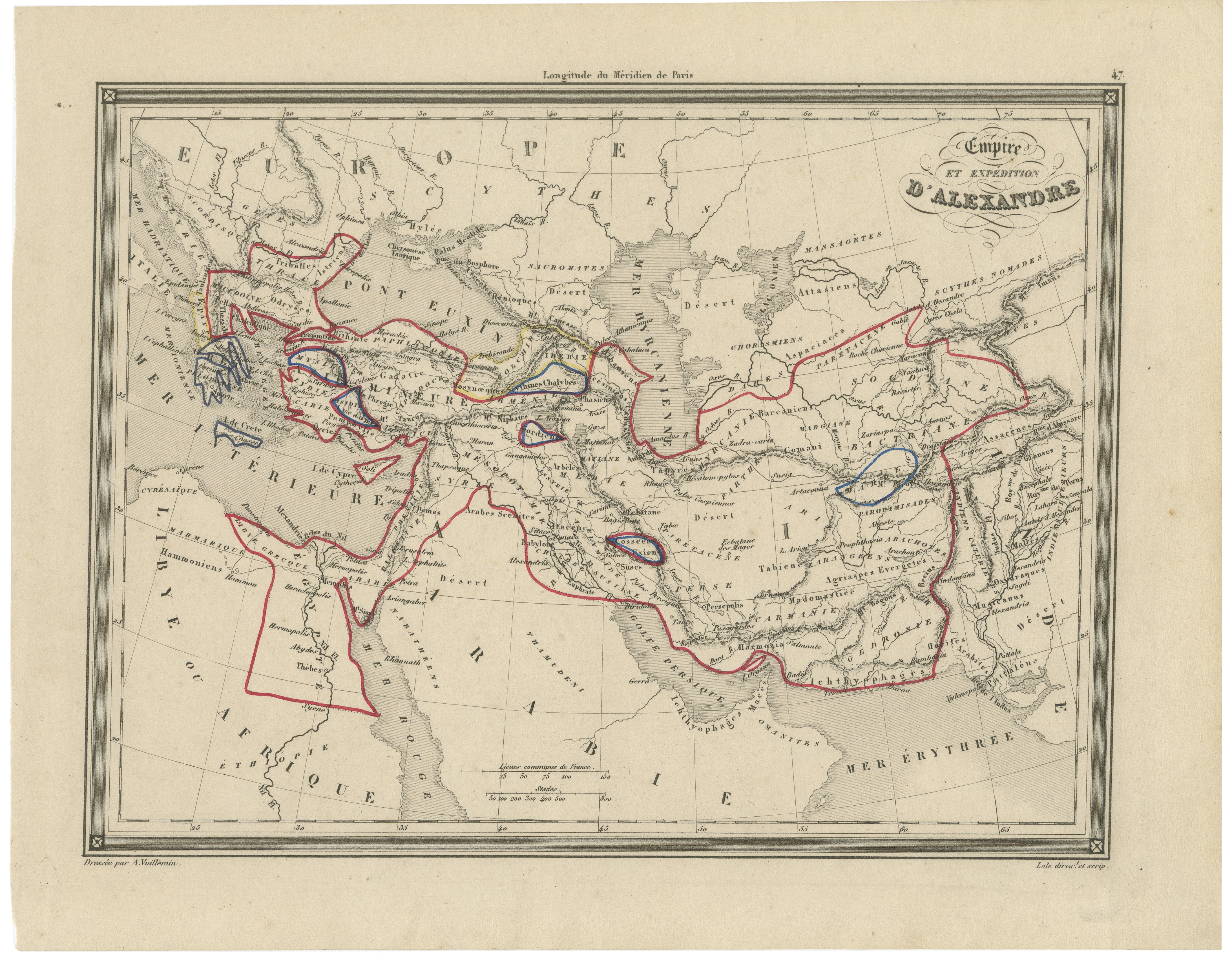
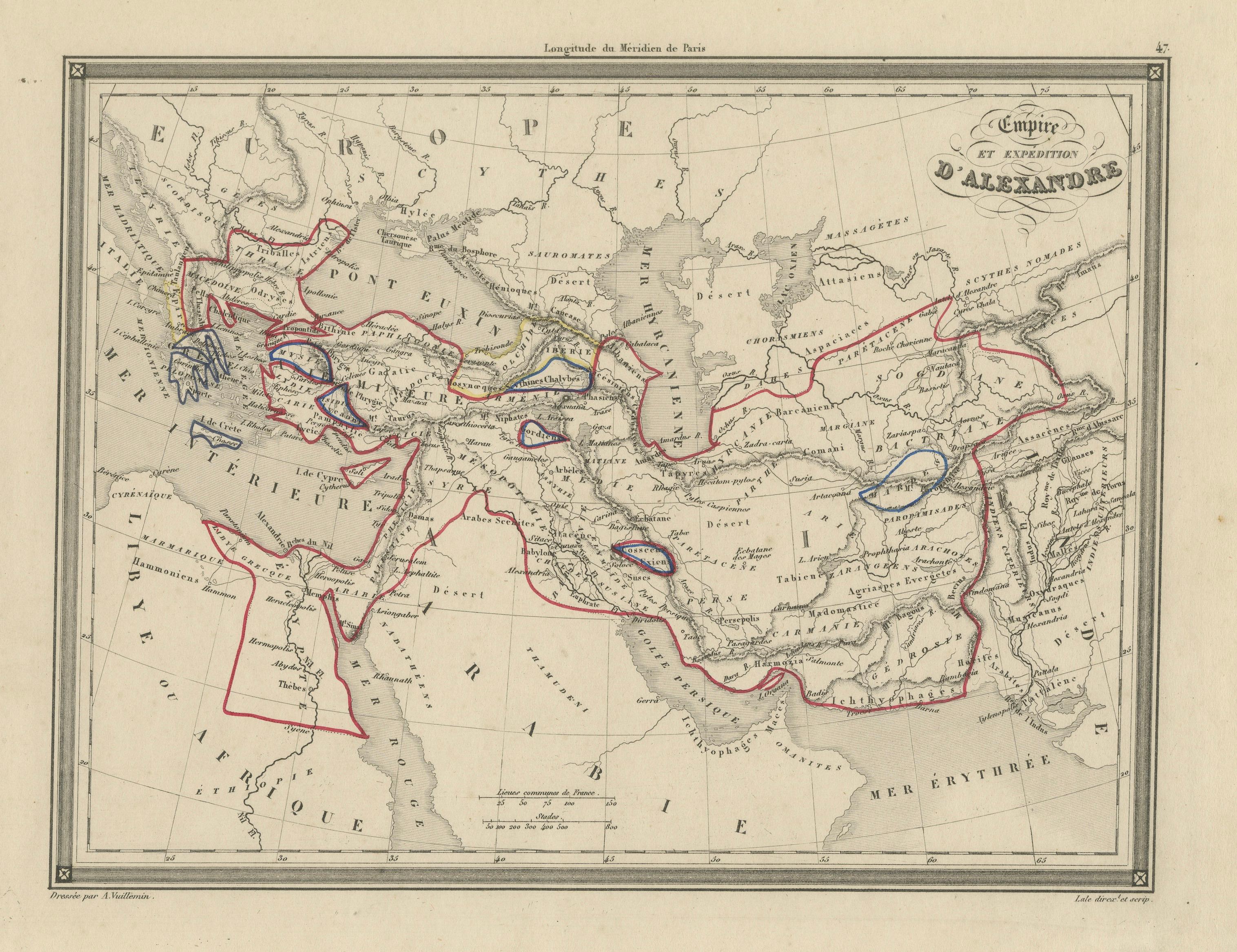
This striking and intellectually engaging map charts the vast empire and legendary campaigns of Alexander the Great, extending from the Mediterranean and Egypt across Persia to the edges of India. Published in France around 1800 and drawn by A. Vuillemin, this piece reflects the Enlightenment-era fascination with classical antiquity and the enduring legacy of one of history’s greatest military leaders.
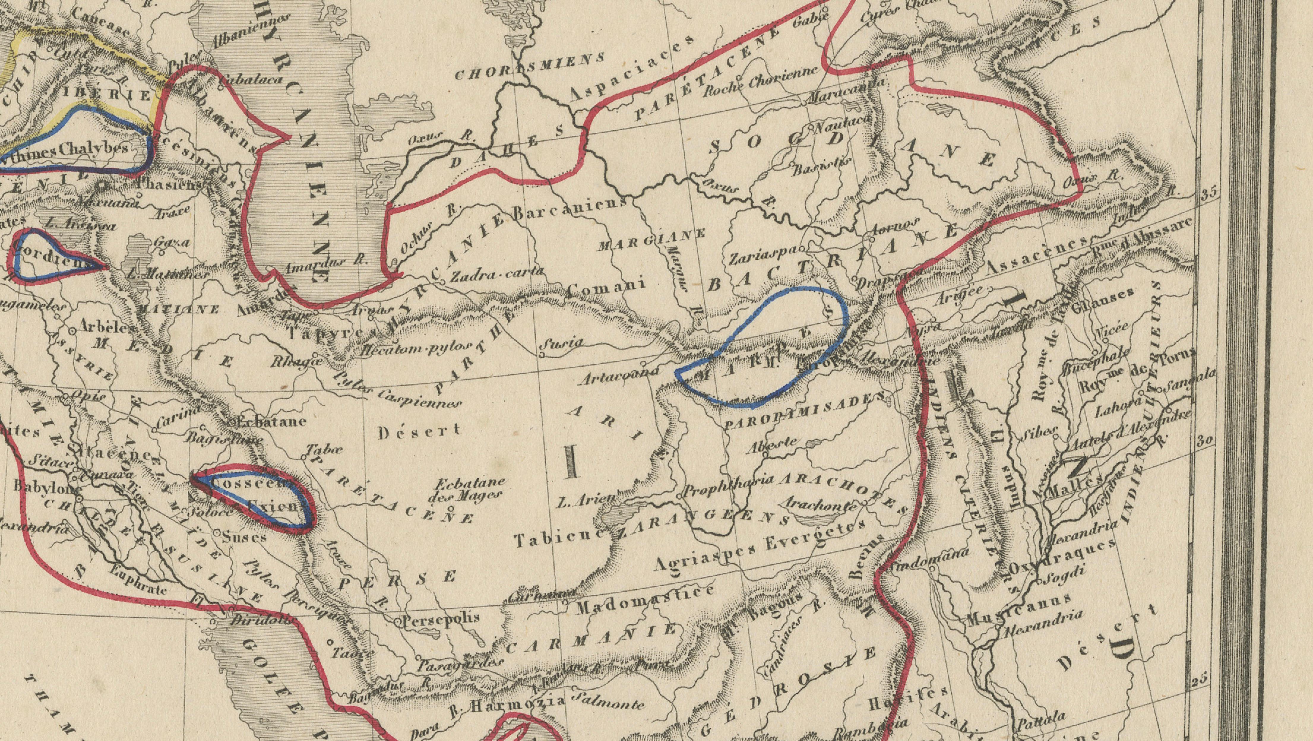
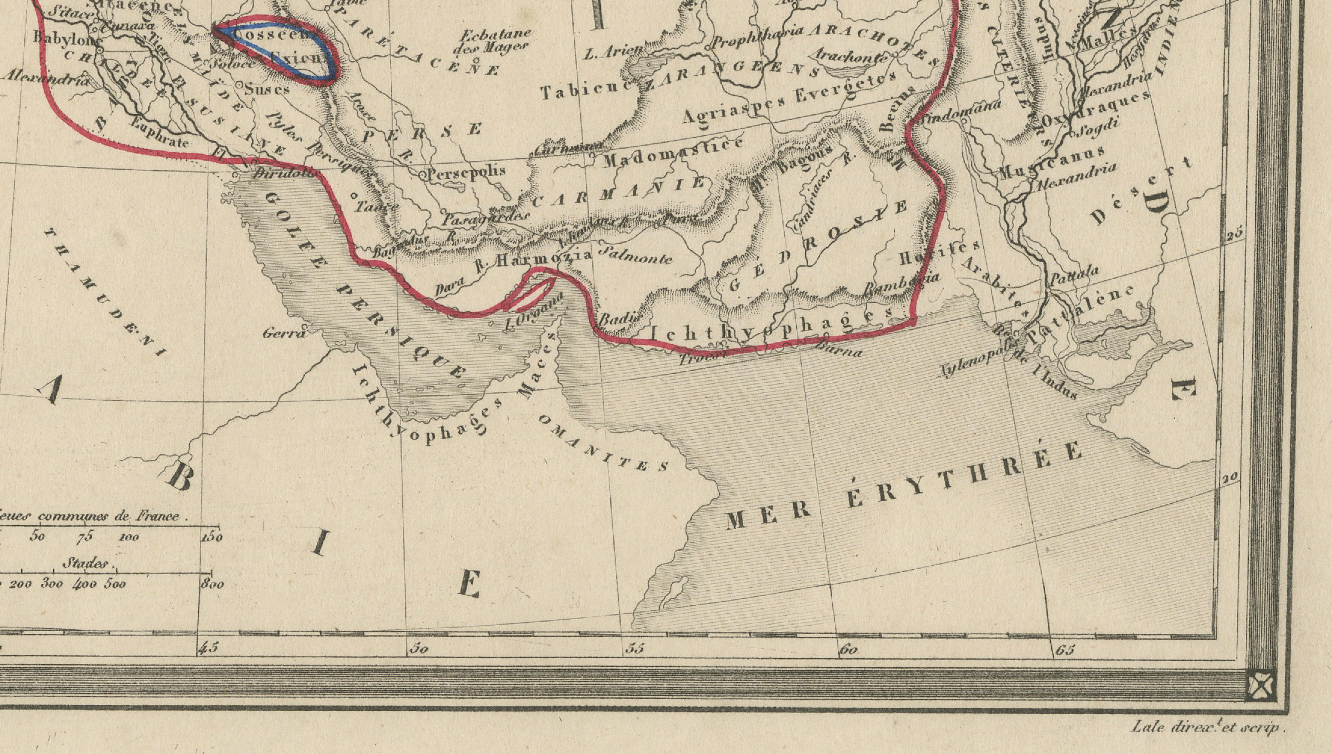
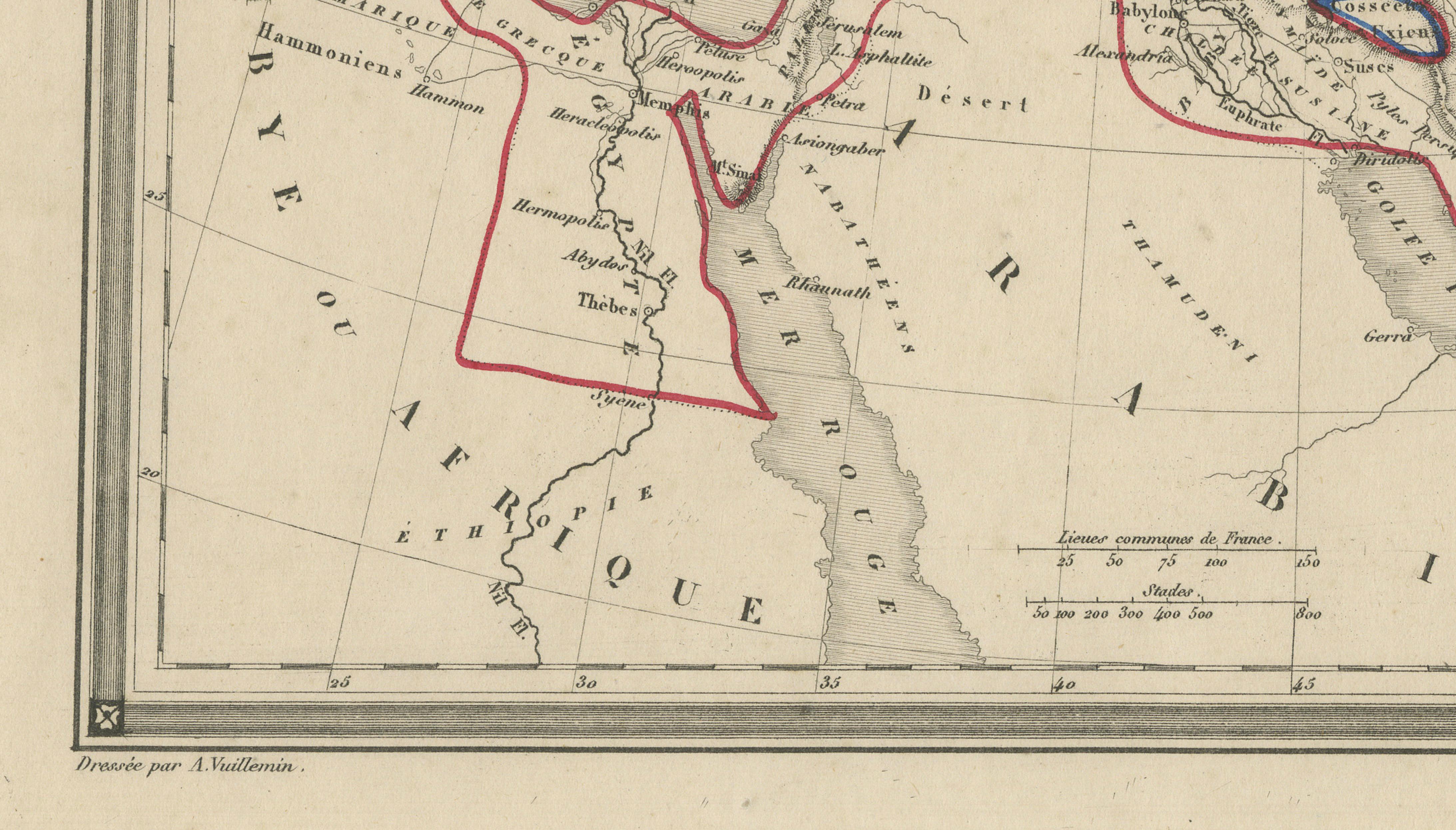
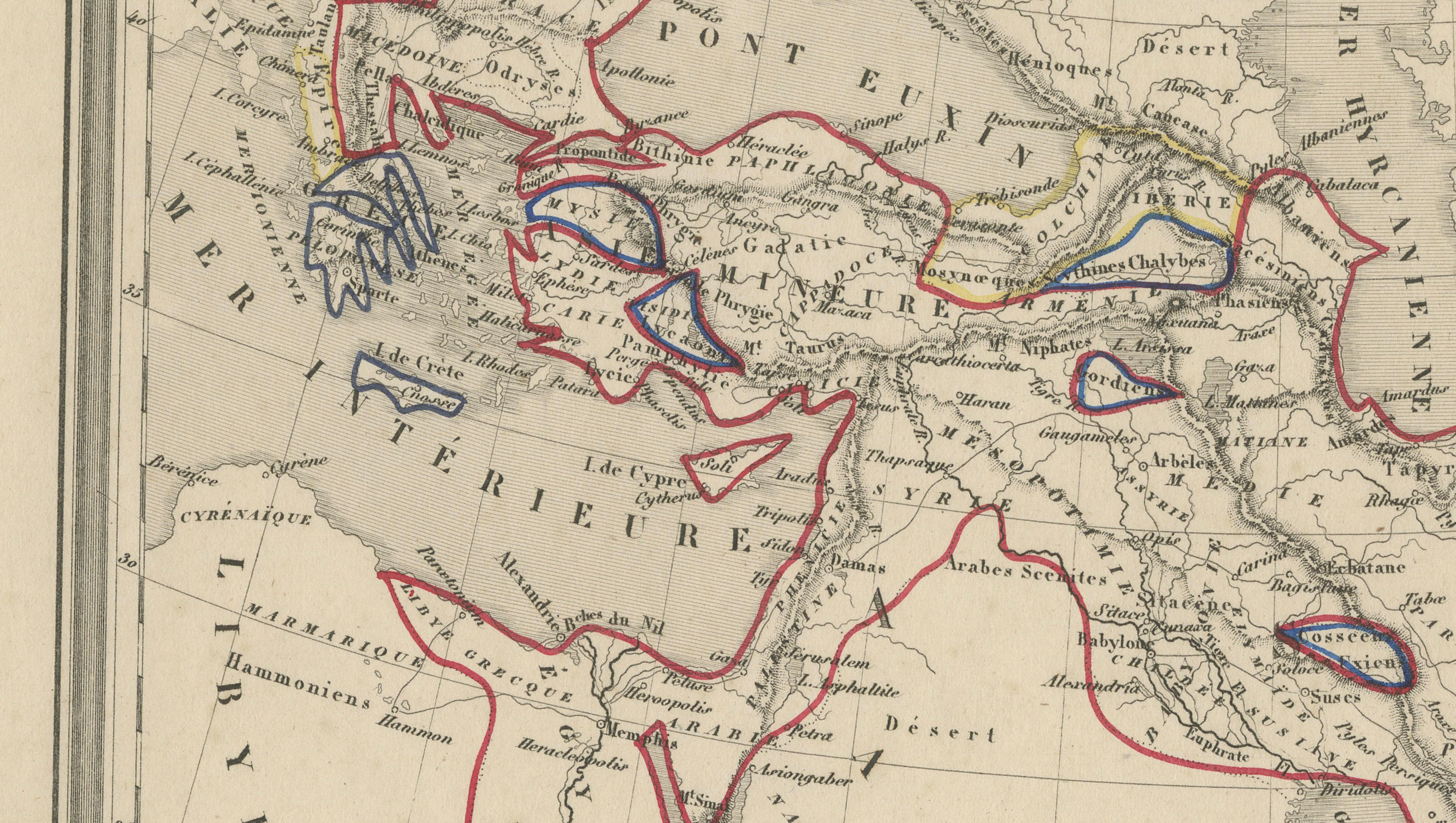
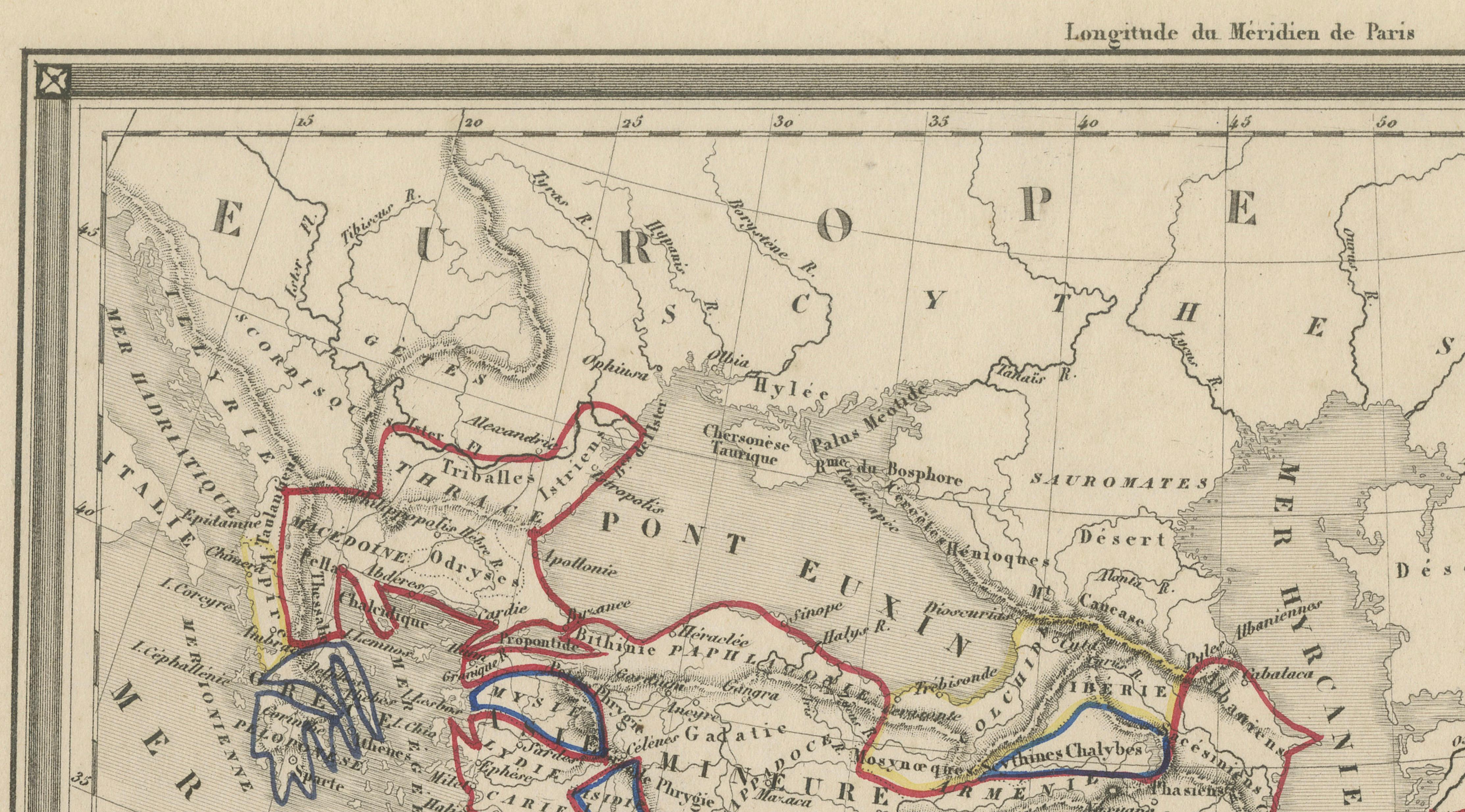
The map presents a sweeping geographical narrative of Alexander’s conquests, visually connecting regions such as Greece, Asia Minor, Mesopotamia, Egypt, Persia, and the Indus Valley. Of particular interest are the carefully delineated routes—marked in red and blue—which trace the movements of Alexander’s army and key stages of his expedition. These annotations, likely added by an early owner or student, enhance the map’s historical storytelling and give it a distinctive, almost scholarly character, reminiscent of Grand Tour-era study pieces.
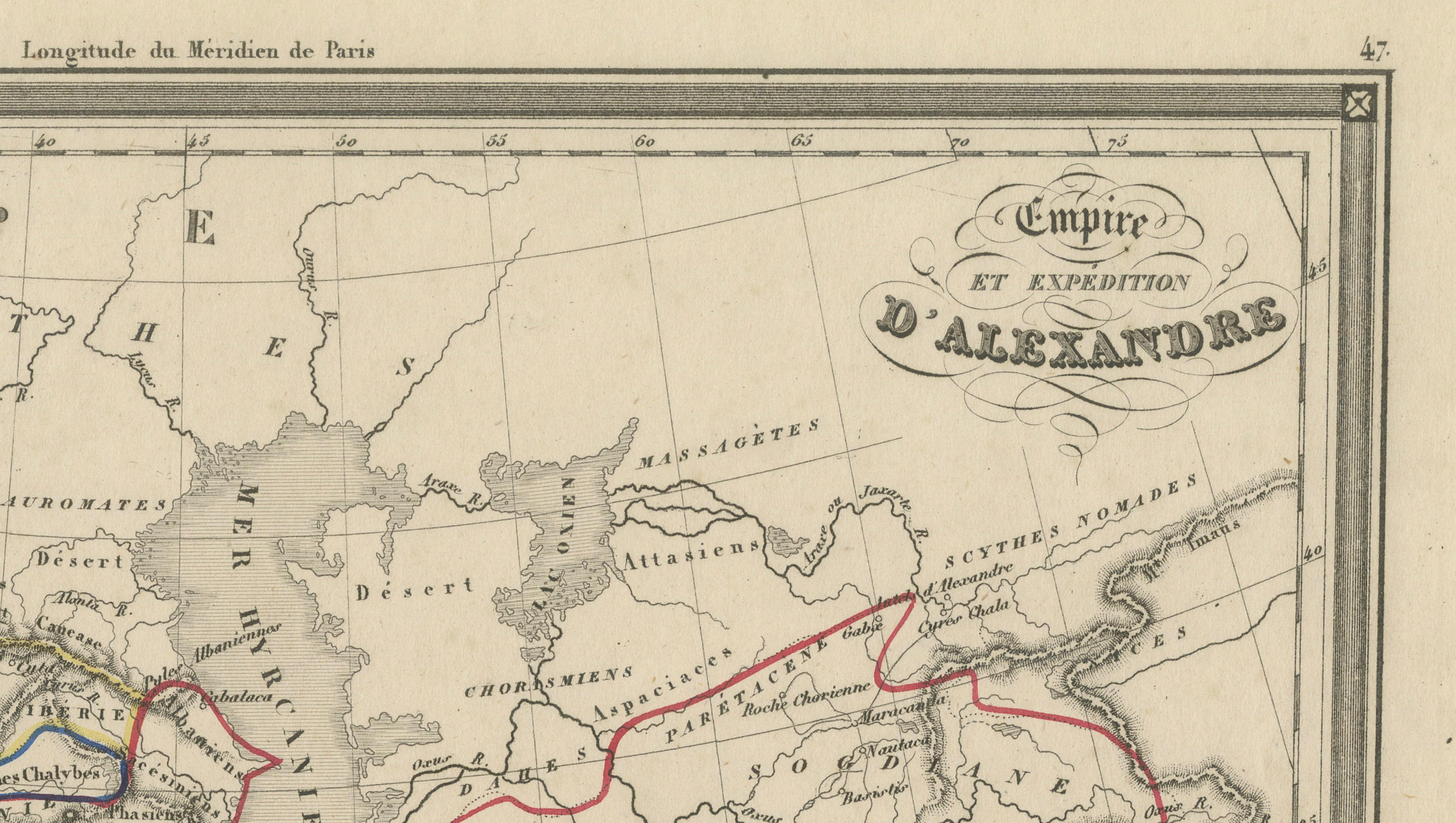
Engraved with precision and clarity, the composition balances geographic detail with elegant restraint. The decorative title cartouche in the upper right, “Empire et Expédition d’Alexandre,” adds a refined visual focal point, while the clean grid structure and finely rendered coastlines reflect the scientific cartographic standards of the period. The map’s broad scope and historical depth make it especially appealing to collectors of classical antiquity, military history, and early educational cartography.
This is an original antique engraving, not a reproduction. All items we offer are authentic period works of art over 100 years old. The map is sold unframed; any framed images are shown for presentation and interior inspiration only and may not always be to scale.
Condition: Good overall condition with age-related toning and light staining, mainly in the margins. The engraved image remains clear and well-defined. The hand-drawn route markings are well preserved and add character to the piece. Minor edge wear consistent with age.
Framing tips: This map is ideally suited to a dark walnut or ebonized frame with a wide ivory mat to enhance its classical character. For a more contemporary presentation, a slim black frame with a museum-quality mount will emphasize the contrast between the fine engraving and the aged paper. This piece works particularly well in studies, libraries, or refined interior settings.
Keywords: Alexander the Great, empire map, ancient world, classical antiquity, Macedonia, Persia, Egypt, India, campaign routes, military history, antique map, Vuillemin, French cartography, Hellenistic world, Mesopotamia, Indus Valley, historical map, Grand Tour, educational map
Technique: Copperplate engraving
Maker: A. Vuillemin, France, circa 1800