About this sheet
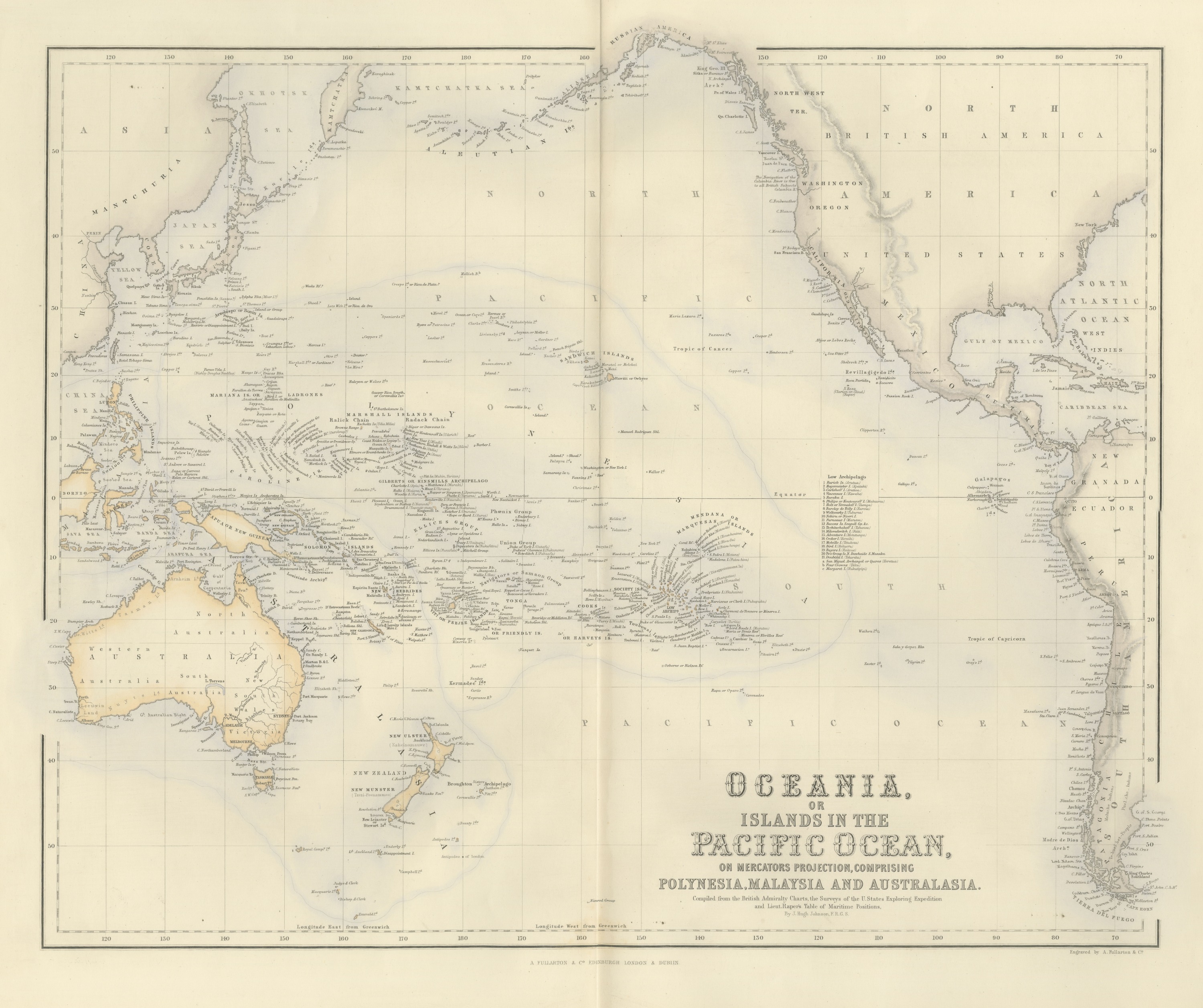
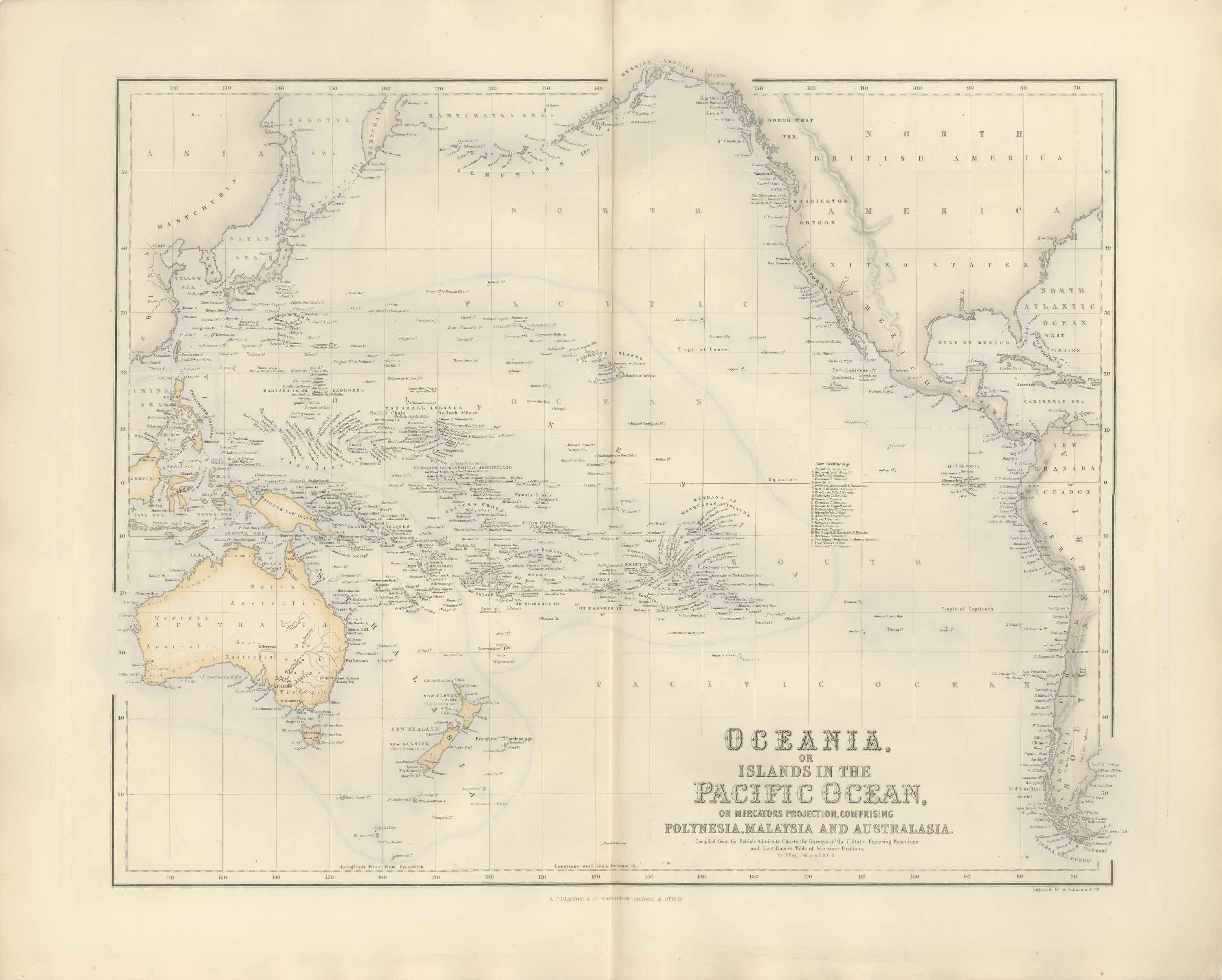
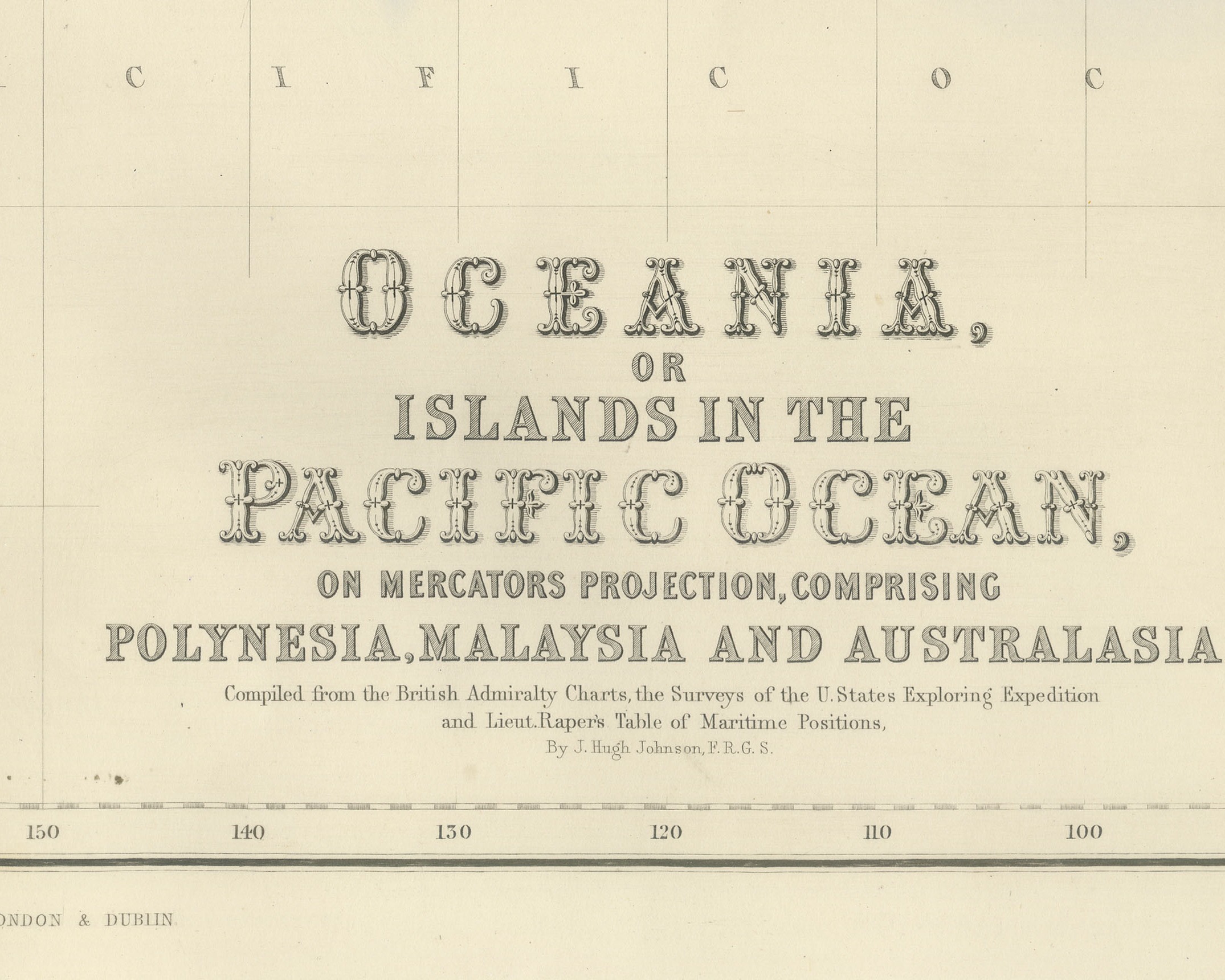
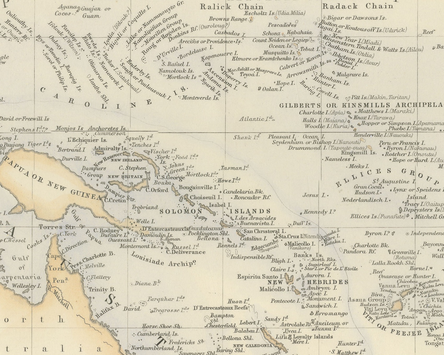
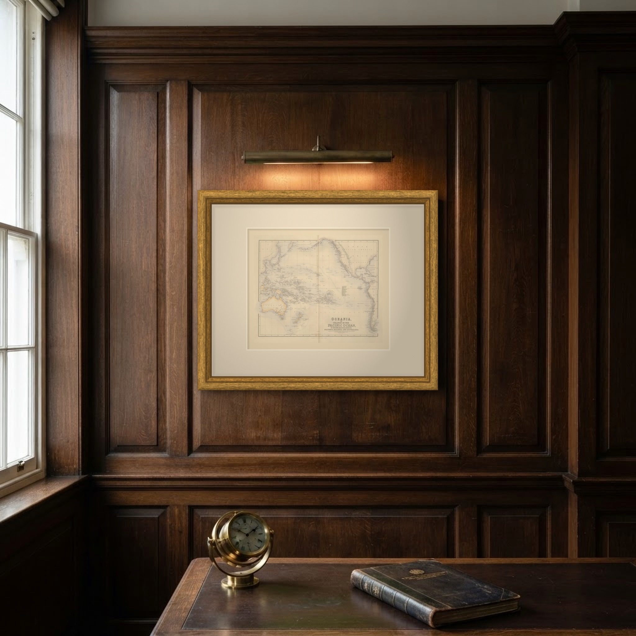
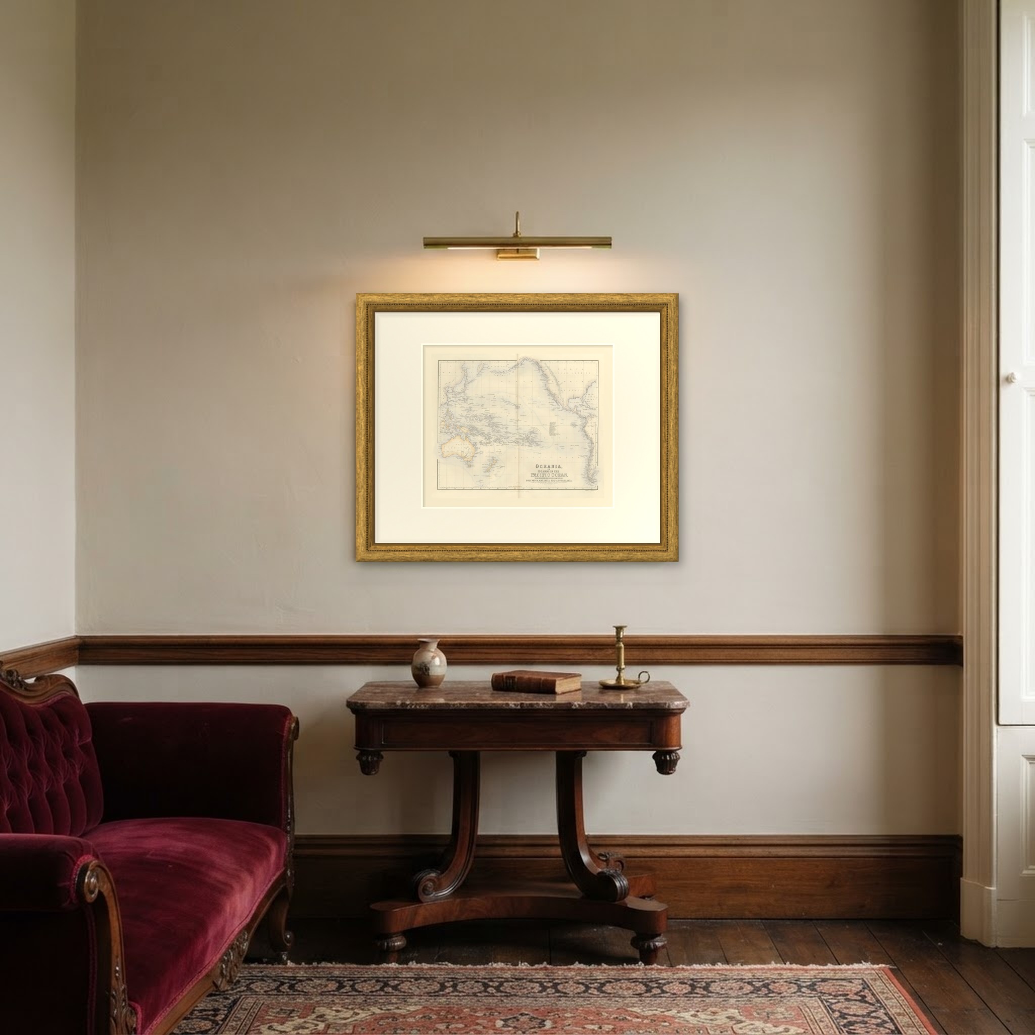
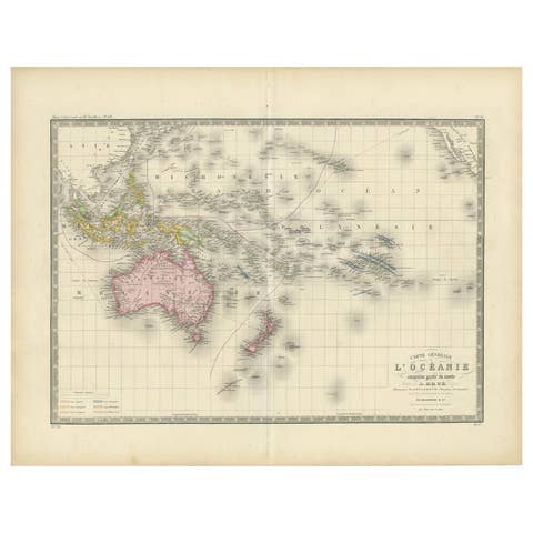
This is an original antique engraved map, colored by hand, from Fullarton's Companion Atlas to the Gazetteer of the World. The engraved title reads "OCEANIA, OR ISLANDS IN THE PACIFIC OCEAN, ON MERCATORS PROJECTION, COMPRISING POLYNESIA, MALAYSIA AND AUSTRALASIA." The map spans the whole Pacific from Manchuria, China and the East Indies across to the Americas, with Australia and New Zealand at the lower left and the length of South America to Cape Horn at the right. Land areas are washed in color against the open ocean.
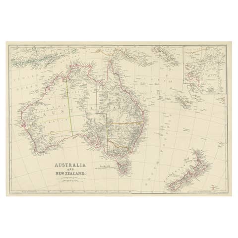
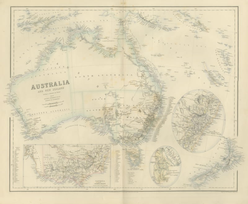
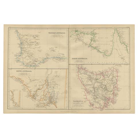
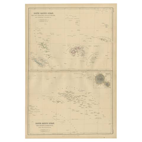
Australia is divided into "Western Australia", "South Australia", "North Australia", "New South Wales" and "Victoria", with "TASMANIA" below, and New Zealand is lettered "NEW ULSTER" and "NEW MUNSTER". Among the island groups are "SANDWICH ISLANDS" with "Hawaii or Owhyee", "MARSHALL ISLANDS" with the "Ralick Chain" and "Radack Chain", "GILBERTS OR KINSMILLS ARCHIPELAGO", the "SOLOMON ISLANDS", "NEW HEBRIDES", "NEW CALEDONIA" and the "Galapagos". There are no insets, but a numbered key to the "Low Archipelago" is engraved in open water, and at Hawaii the map notes "Captn. Cook Killed 1779".
Below the title is the compilation note "Compiled from the British Admiralty Charts, the Surveys of the U. States Exploring Expedition and Lieut. Raper's Table of Maritime Positions, By J. Hugh Johnson, F.R.G.S." Below the bottom border at the lower right is the engraver's line "Engraved by A. Fullarton & Co.", and the imprint in the center reads "A FULLARTON & Co EDINBURGH LONDON & DUBLIN"
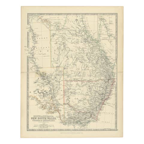
The Companion Atlas to the Gazetteer of the World was published by A. Fullarton and Co. of London, Edinburgh and Dublin and issued to subscribers in parts. The original printed wrapper of Part 7 survives with these maps; it bills forty-three maps, names G. H. Swanston as engraver and is marked "Colored Copy". New Ulster and New Munster, the names engraved across New Zealand here, were provinces of the colony that were abolished in 1853.
Condition: Even age toning. Handling soiling along the left and right edges. Scattered light foxing in the margin. Complete sheet, all four corners present. One larger brown mark. Original center fold as issued.
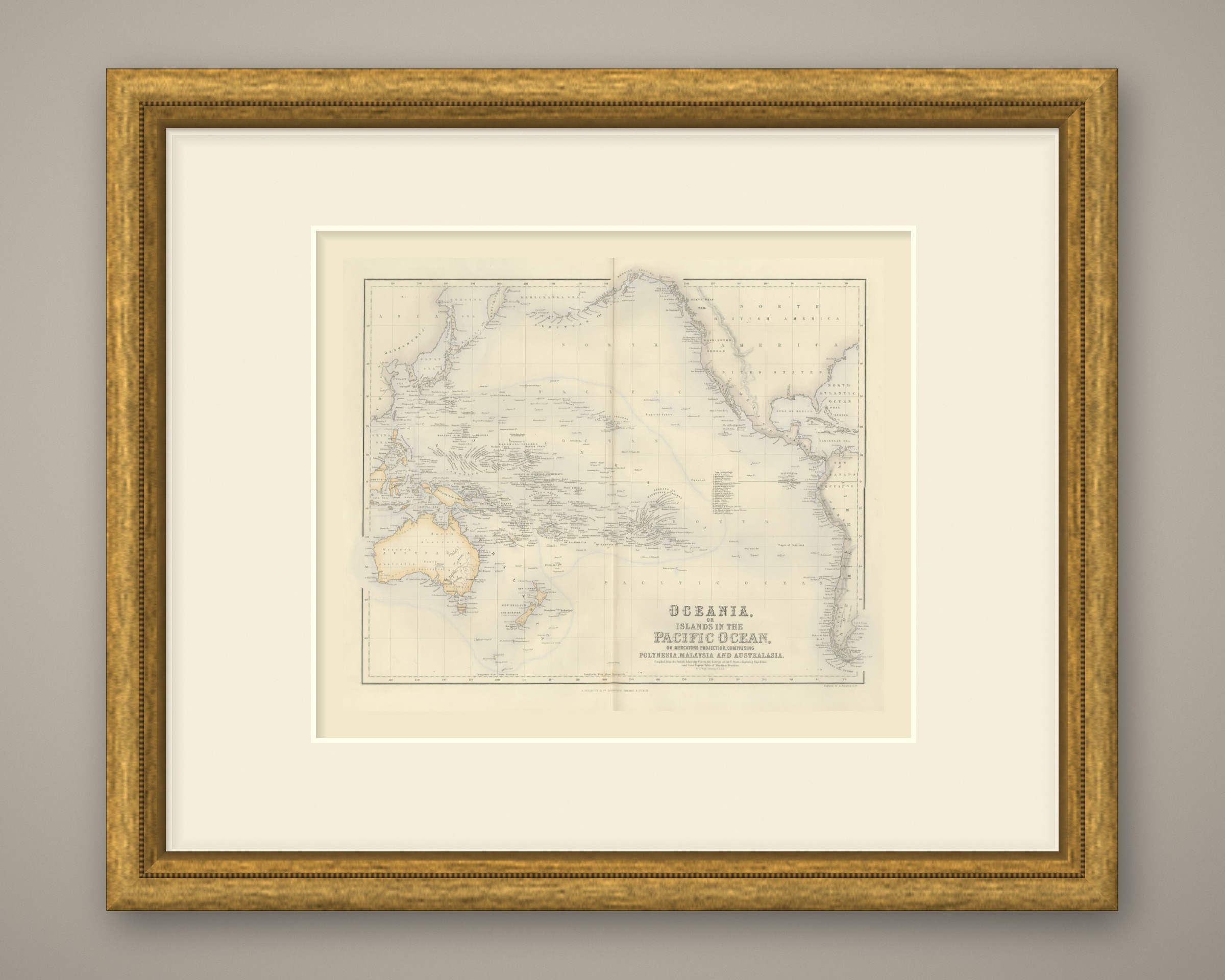
This is an original antique map, not a modern reproduction. This item is sold unframed. Any framed or interior images are shown for presentation and inspiration only, unless the listing explicitly states that the item is sold framed.