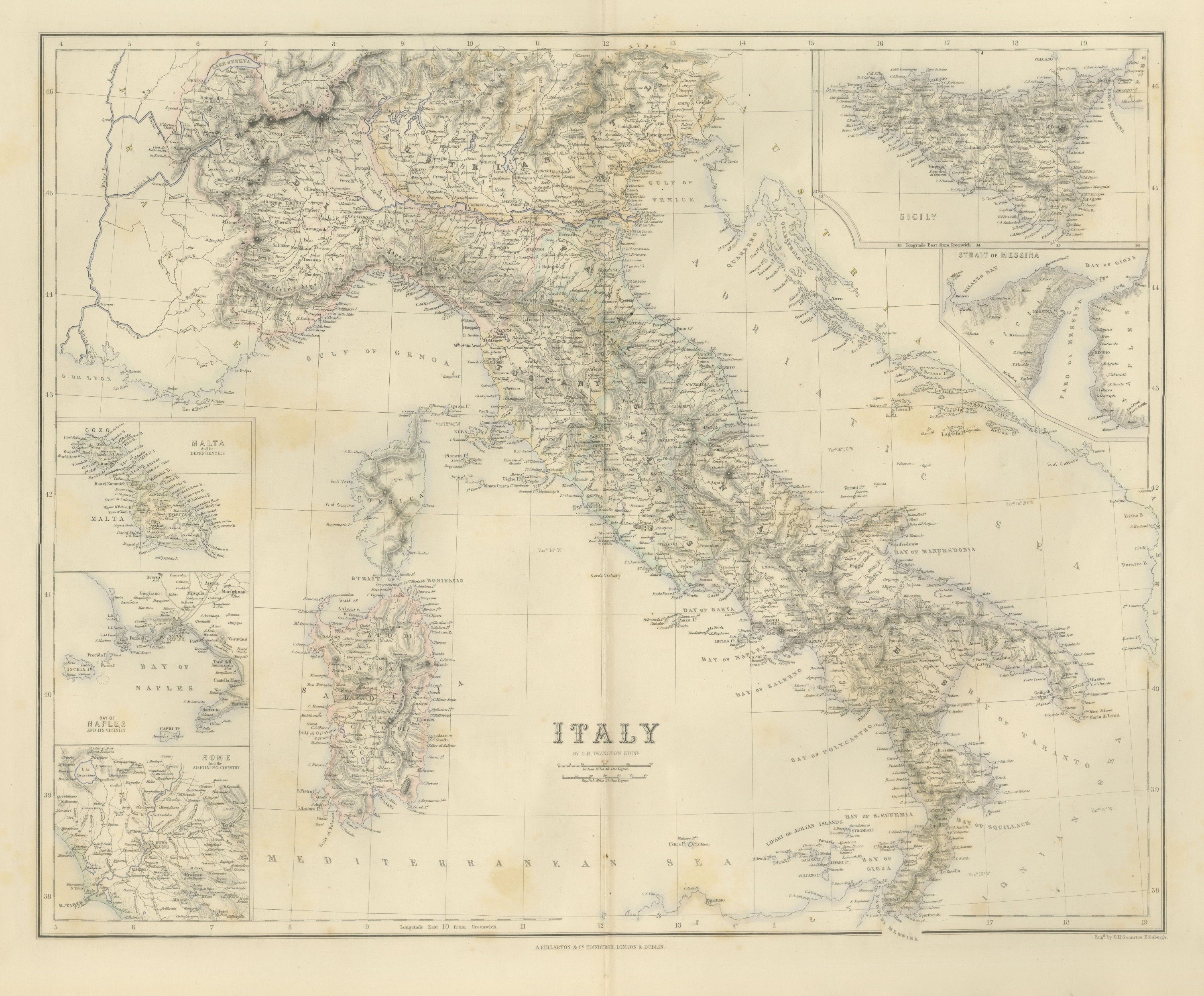
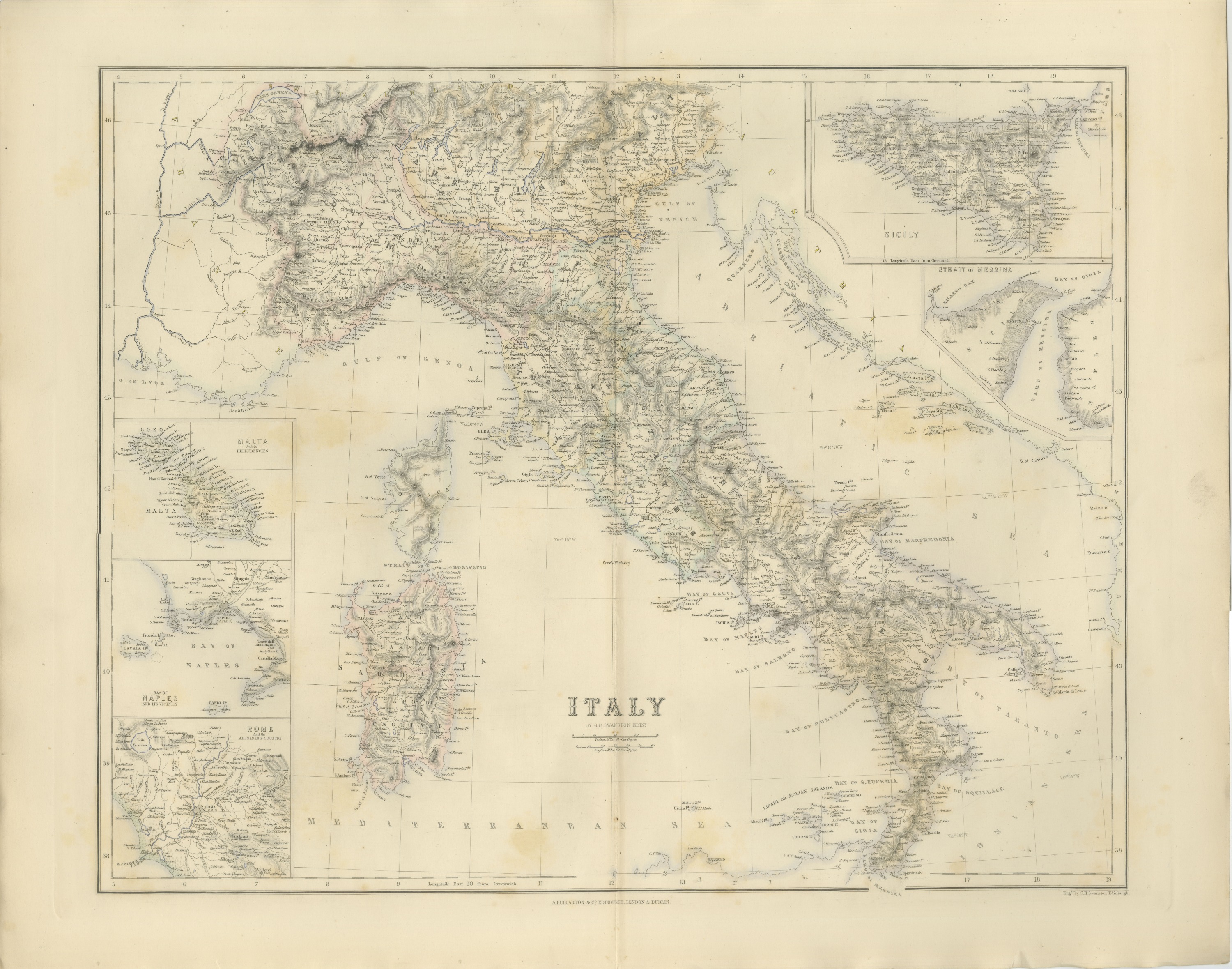
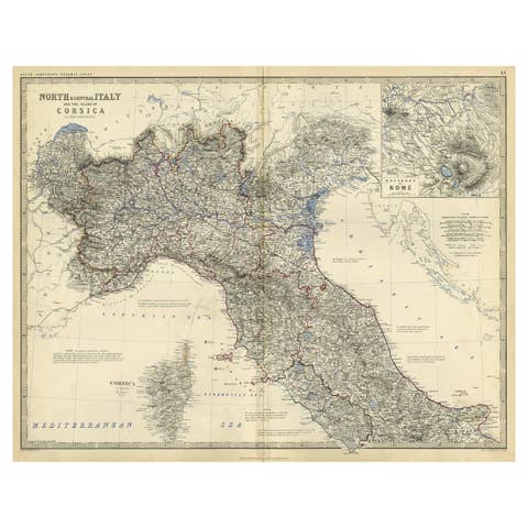
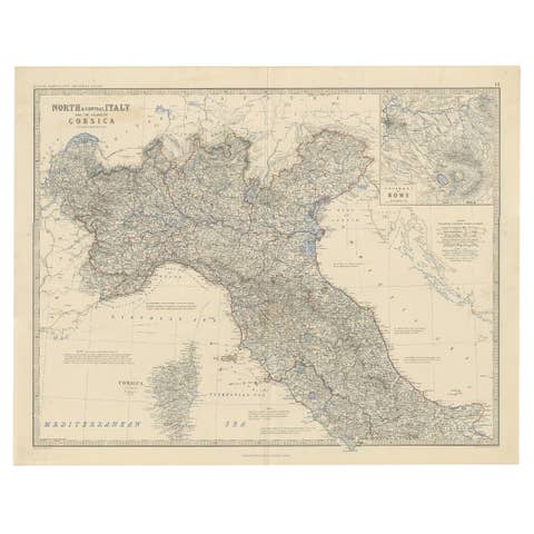
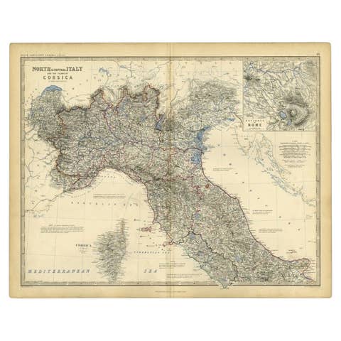
Antique Map of Italy with Sicily, Malta and Bay of Naples Insets, circa 1860
€ 495
Original antique · The actual sheet photographed · Certificate of authenticity on request · Sold unframed · Worldwide shipping from € 15 (rates)
Date
circa 1860
Mapmaker / artist
Engraved by G. H. Swanston
Publisher
A. Fullarton and Co.
Technique
Engraving
Coloring
Hand colored
Condition
Good
Reference
BG-14396-1
What the condition grades mean
Excellent
Bright and clean, with no faults worth mentioning.
Very good
Only light signs of age, such as faint toning.
Good
Normal signs of age for a sheet of this period: toning, some foxing, small marks or neat old repairs.
Fair
Clear faults such as staining, tears or repairs, priced to match.
Every fault we see is written in the condition note, and the whole sheet is shown uncropped in the photos.
Condition
Even age toning. Handling soiling along the left and right edges. Foxing over much of the margin. Complete sheet, all four corners present. Minor edge wear, shallow nicks along the bottom. Original center fold as issued.
About this sheet
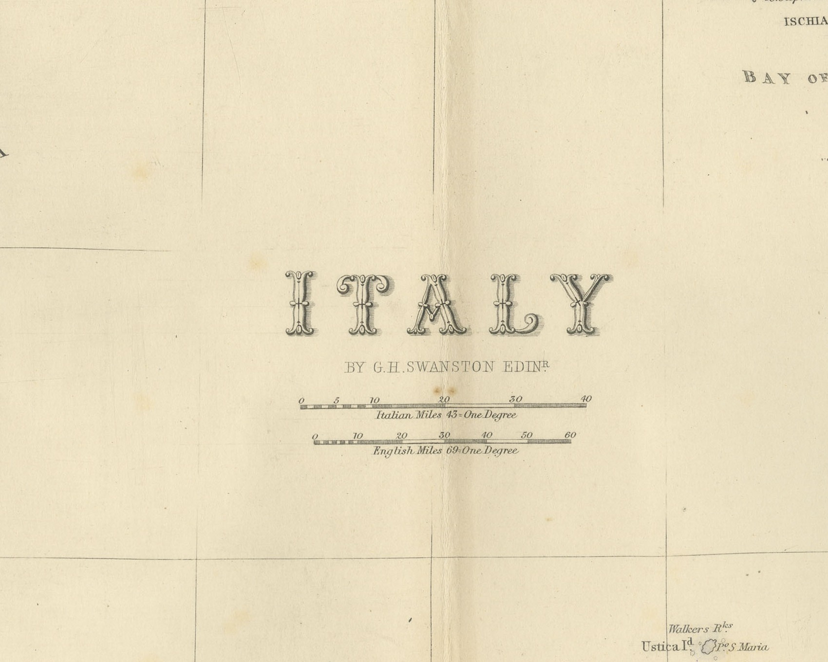
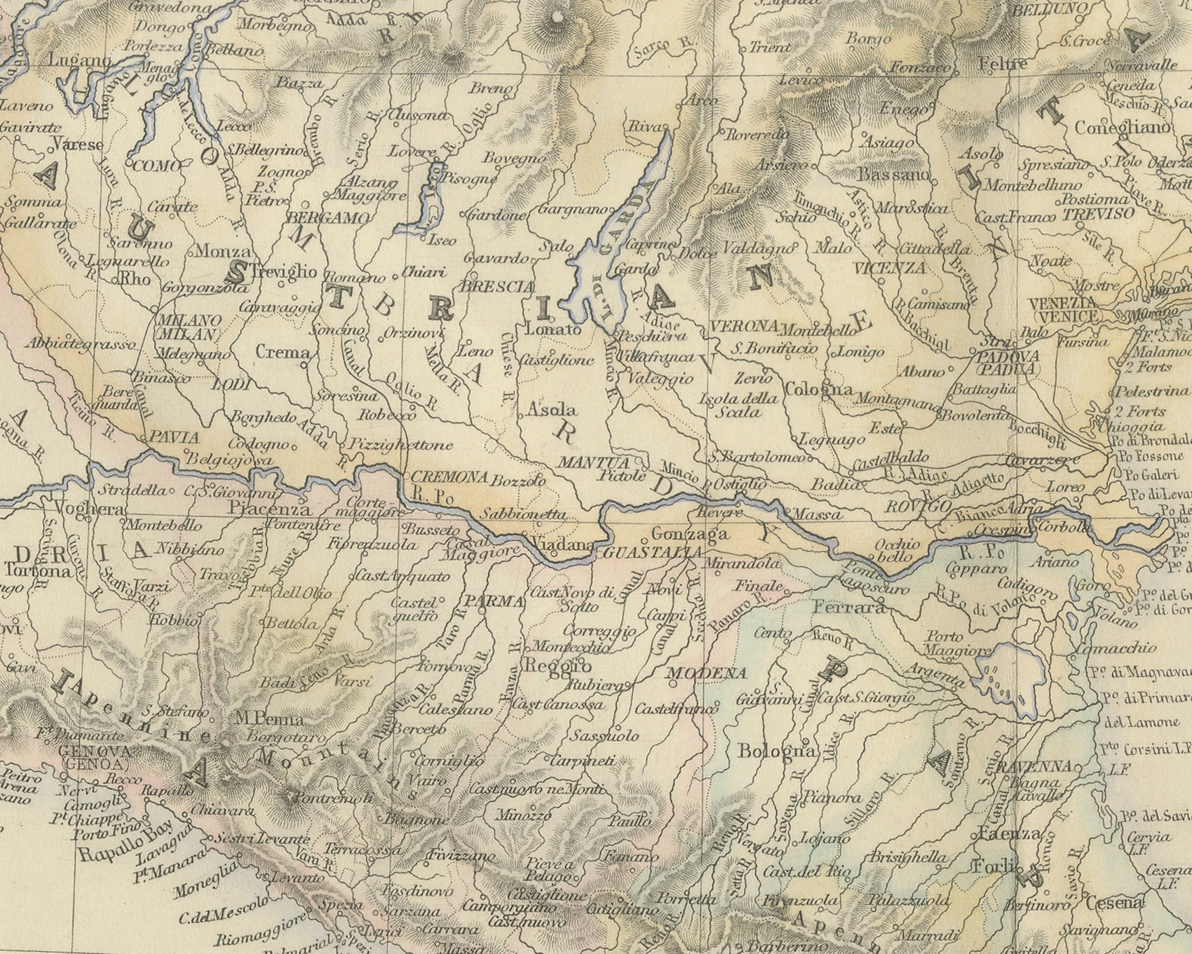
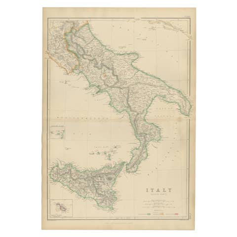
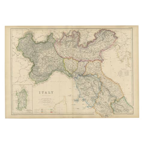
This is an original antique engraved map, colored by hand, from Fullarton's Companion Atlas to the Gazetteer of the World. The title, engraved in the Tyrrhenian Sea, reads simply "ITALY". The map covers the whole peninsula from the Alps and Lake Geneva in the north to the toe of Calabria, with Corsica, Sardinia, the Dalmatian coast across the Adriatic and the northeastern corner of Sicily along the bottom edge. Relief is shown by hachures, and the political divisions are picked out in outline color.
Five insets surround the main map. Down the left side are "MALTA And its DEPENDENCIES", showing Gozo, Comino and Malta with Valetta; "BAY OF NAPLES AND ITS VICINITY", with Naples, Vesuvius, Procida, Ischia and Capri; and "ROME And the ADJOINING COUNTRY", from Lake Bracciano to Velletri and the mouth of the Tiber. At the upper right is a larger map of "SICILY", and below it "STRAIT of MESSINA", with Messina, Reggio and the "FARO DI MESSINA". On the main map "TUSCANY" is lettered across the center of the peninsula and the Aeolian group is named "LIPARI OR ÆOLIAN ISLANDS". Two scale bars give "Italian Miles 43 = One Degree" and "English Miles 69 = One Degree".
Beneath the title the map is credited "BY G.H. SWANSTON EDINR." The engraver's line below the lower right corner of the border reads "Engd. by G.H. Swanston Edinburgh.", and the imprint centered below the border reads "A. FULLARTON & Co. EDINBURGH, LONDON & DUBLIN."
The sheet comes from The Companion Atlas to the Gazetteer of the World, published by A. Fullarton and Co. of London, Edinburgh and Dublin and issued to subscribers in parts. The printed wrapper of Part 7, which survives with these maps, bills the work as comprehending forty-three beautifully colored maps engraved by G. H. Swanston, and it is marked "Colored Copy". Tuscany, lettered here as a separate state, was annexed to the Kingdom of Sardinia in 1860, and the Kingdom of Italy was proclaimed in 1861.
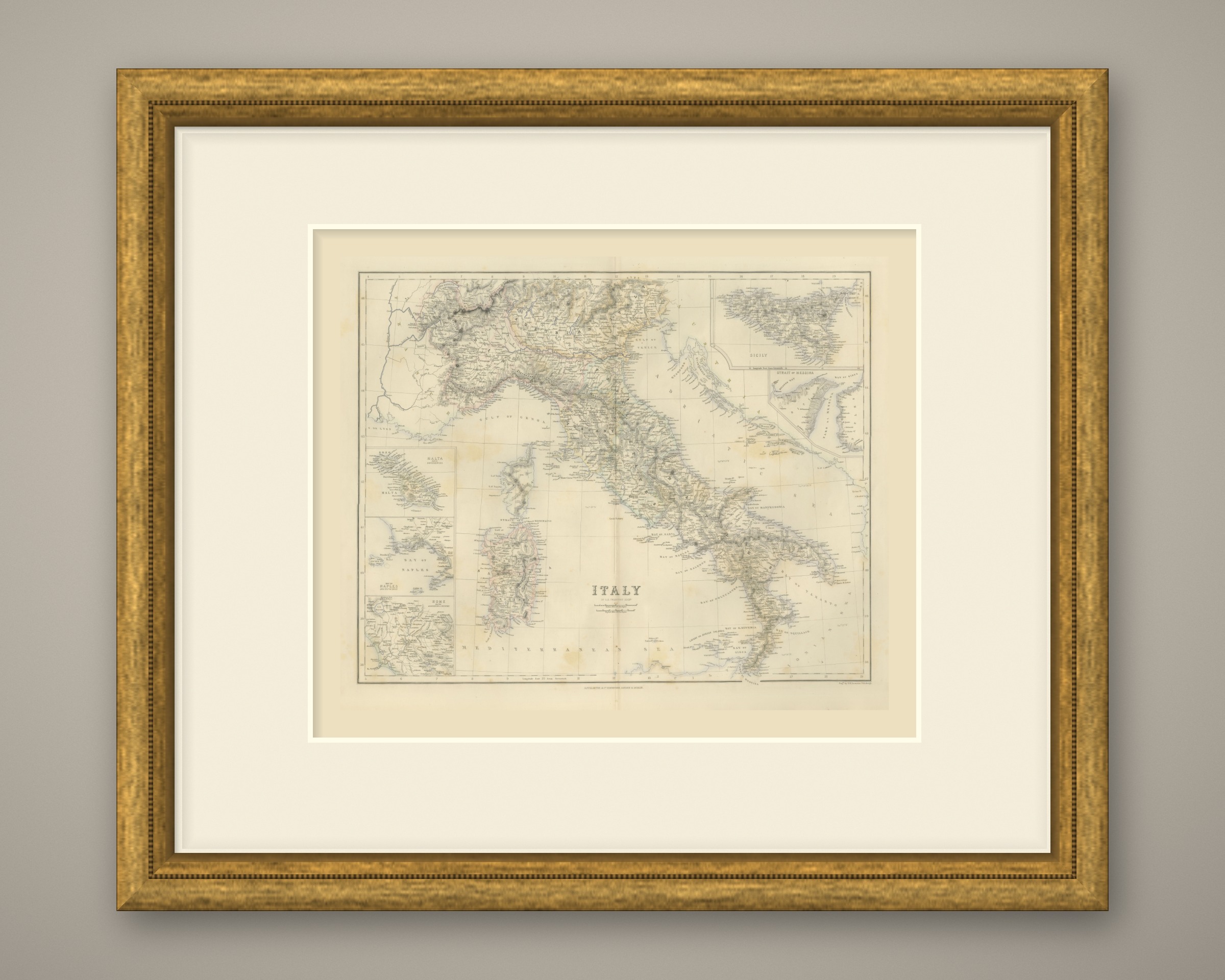
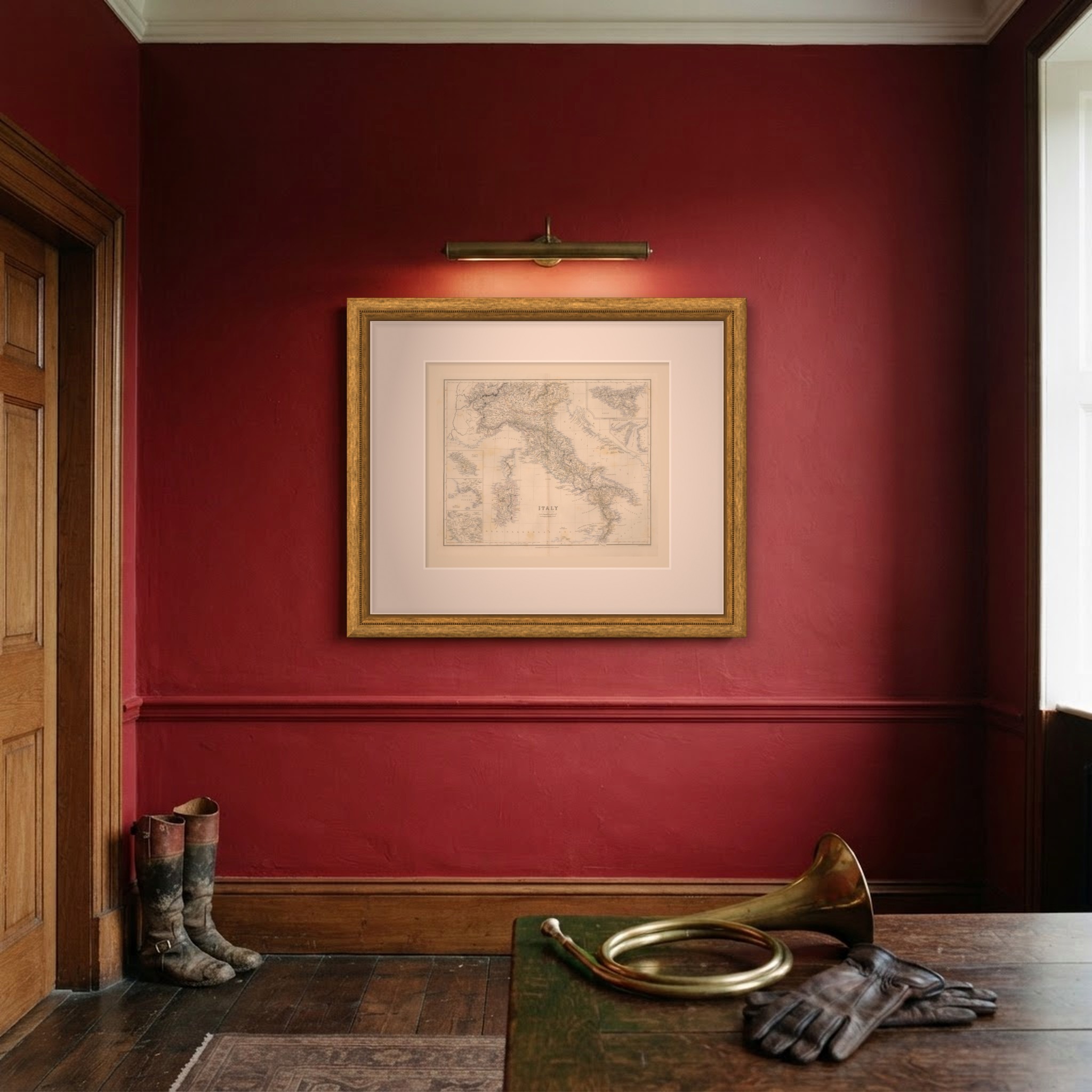
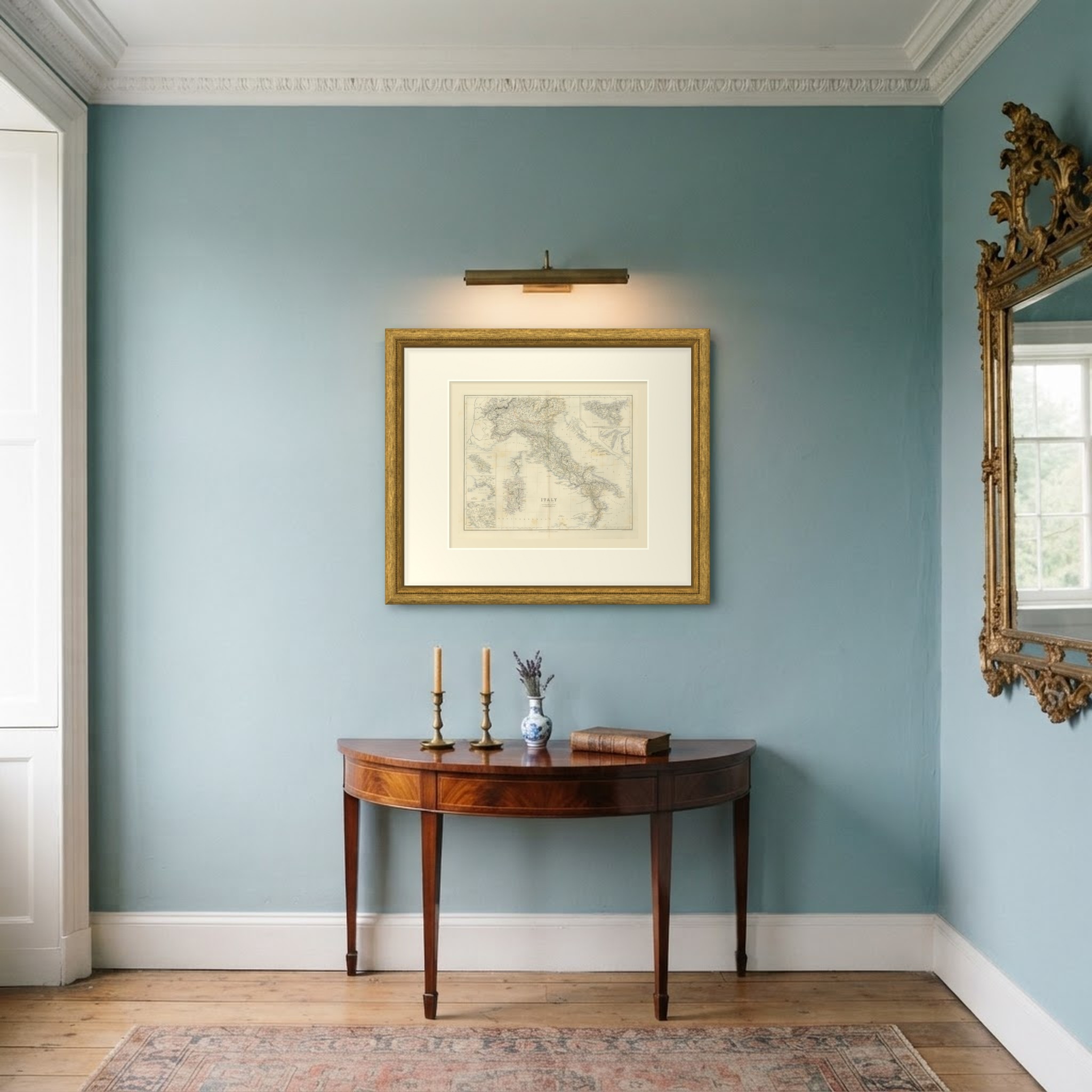
This is an original antique map, not a modern reproduction. This item is sold unframed. Any framed or interior images are shown for presentation and inspiration only, unless the listing explicitly states that the item is sold framed.