About this sheet
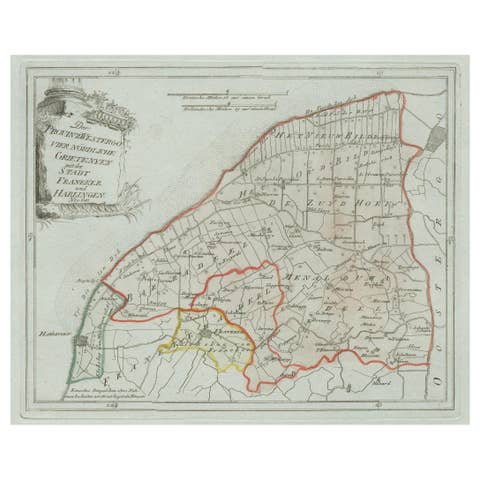
Antique General Map of Friesland by von Reilly, 1791
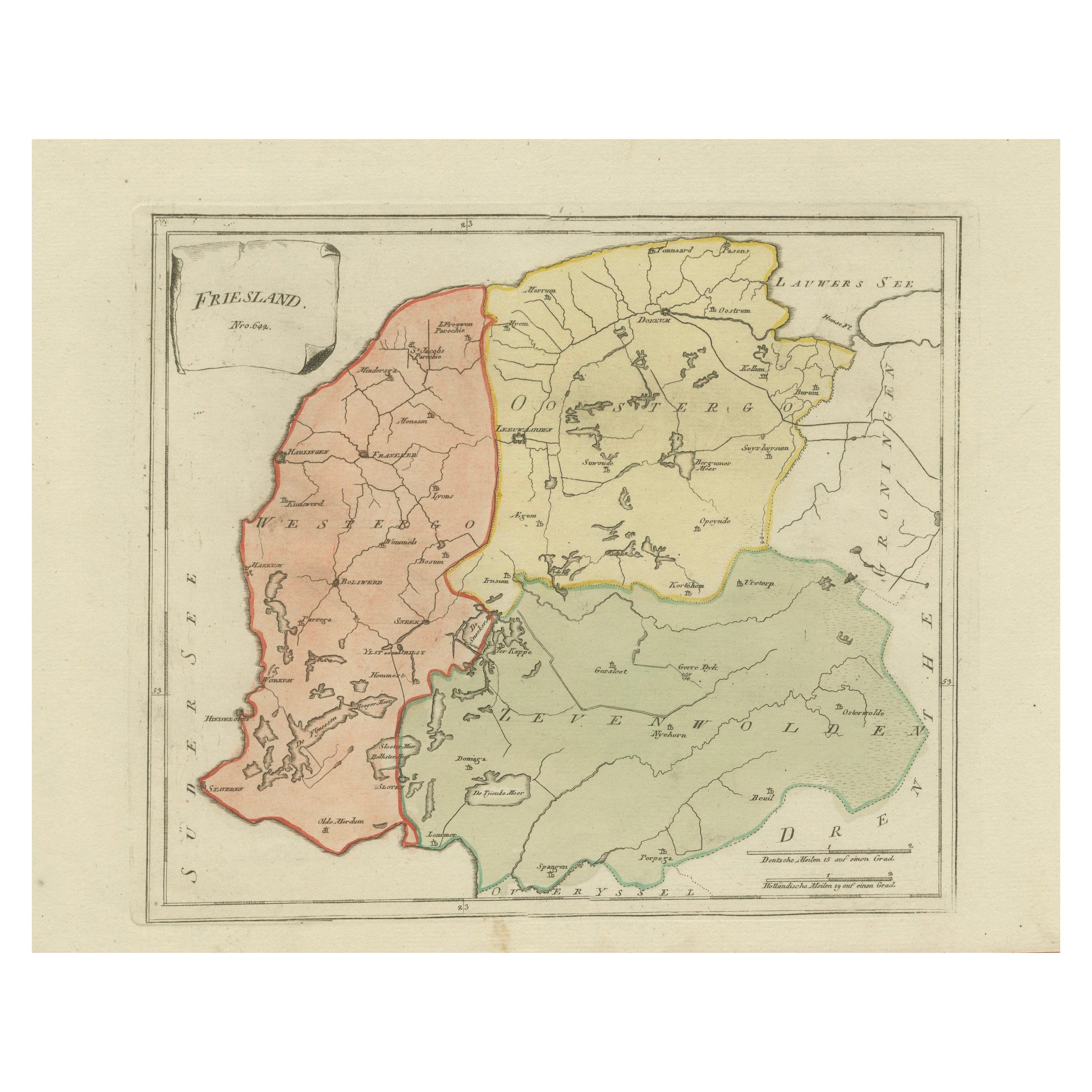
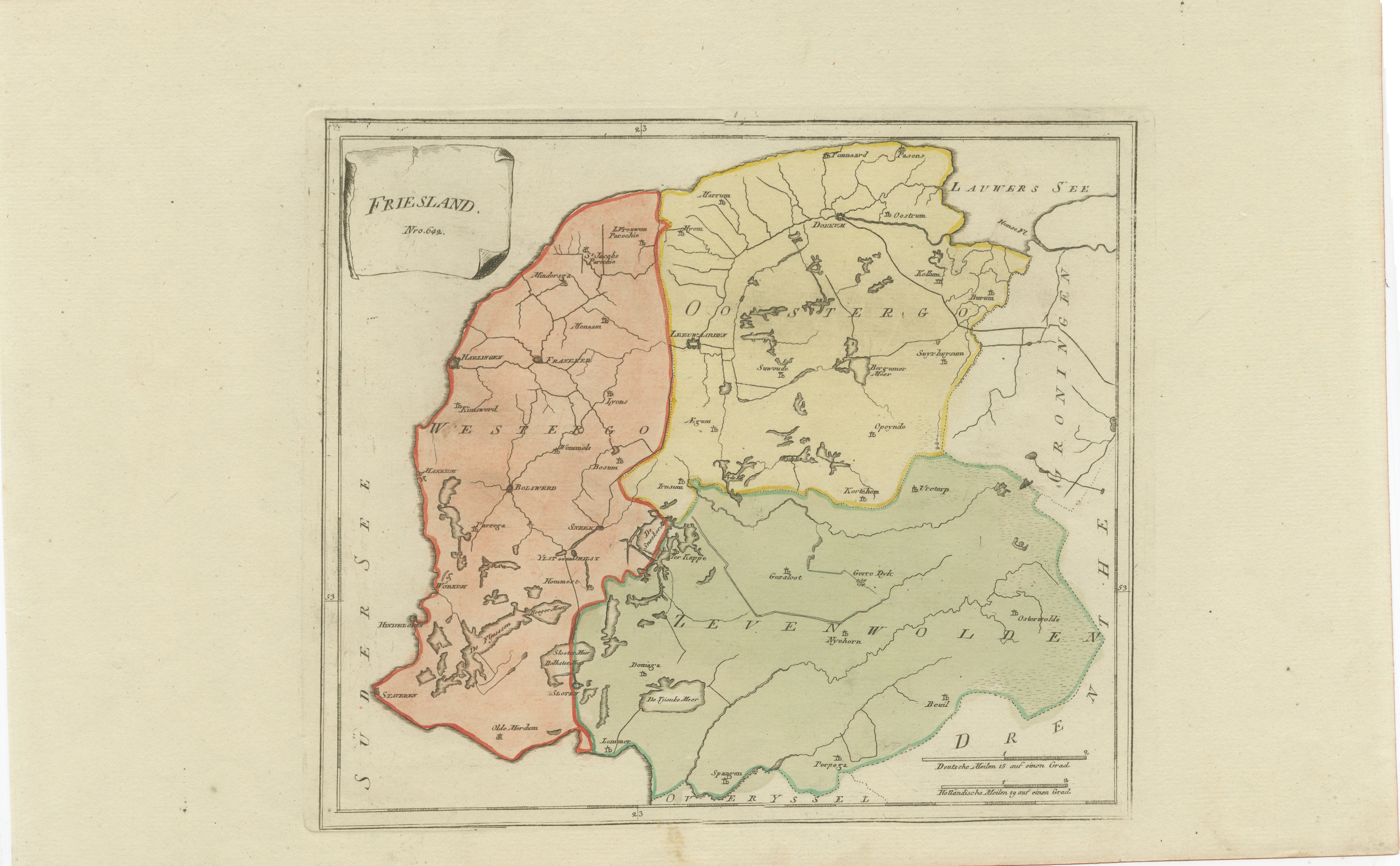
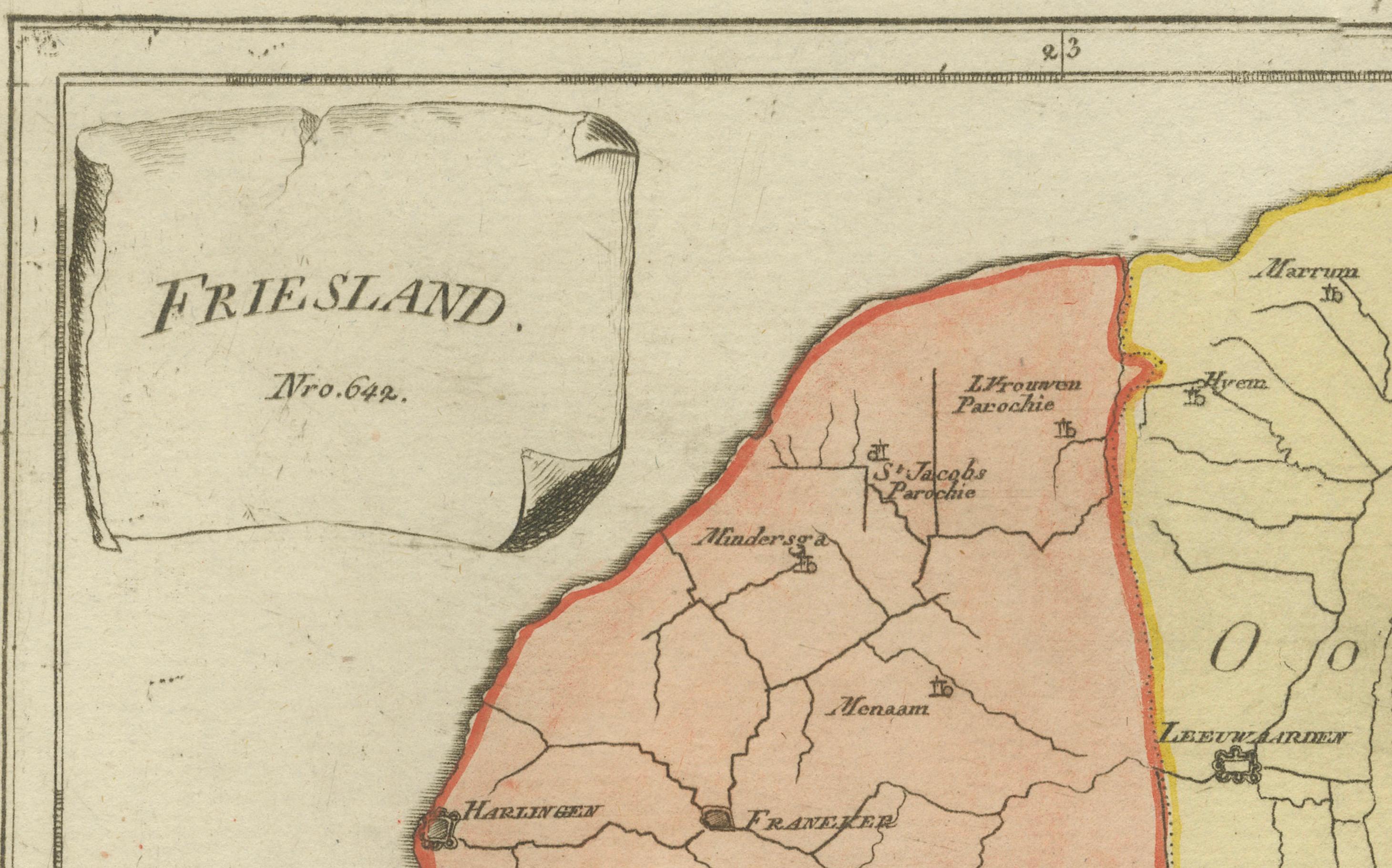
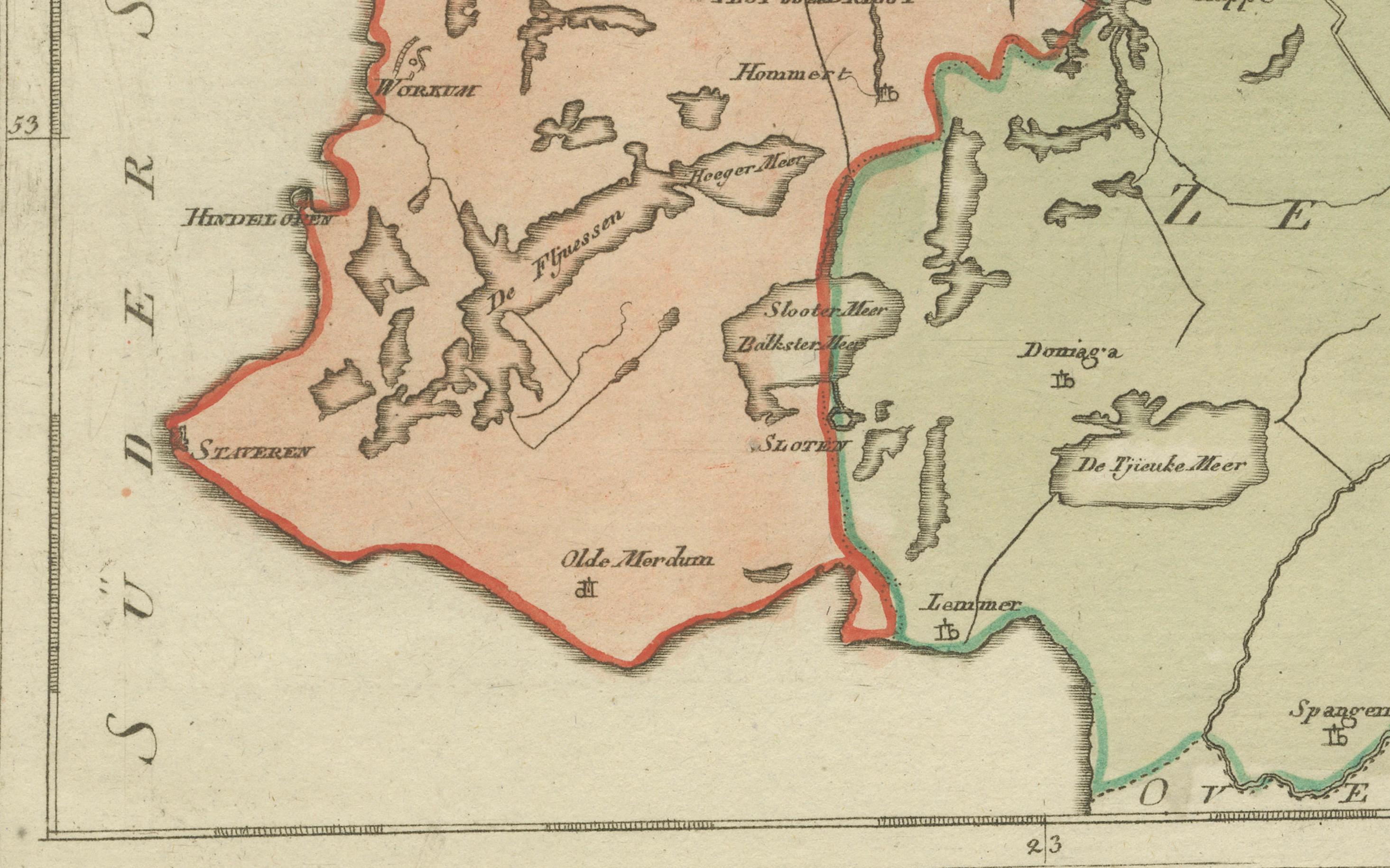
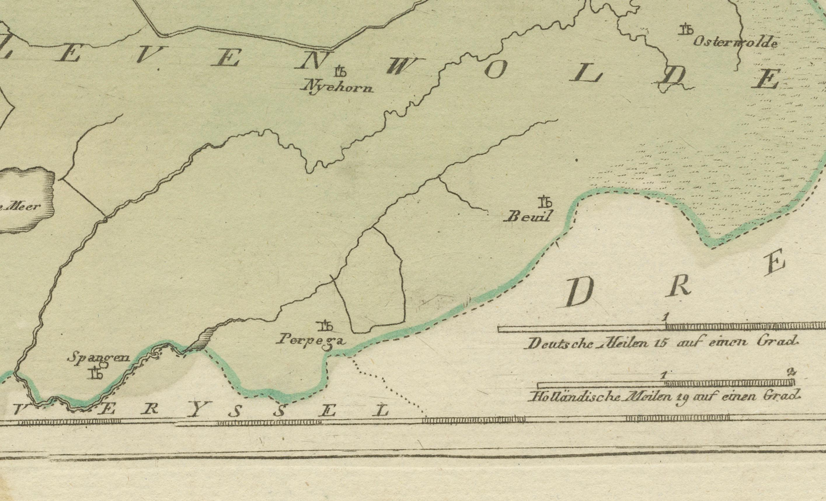
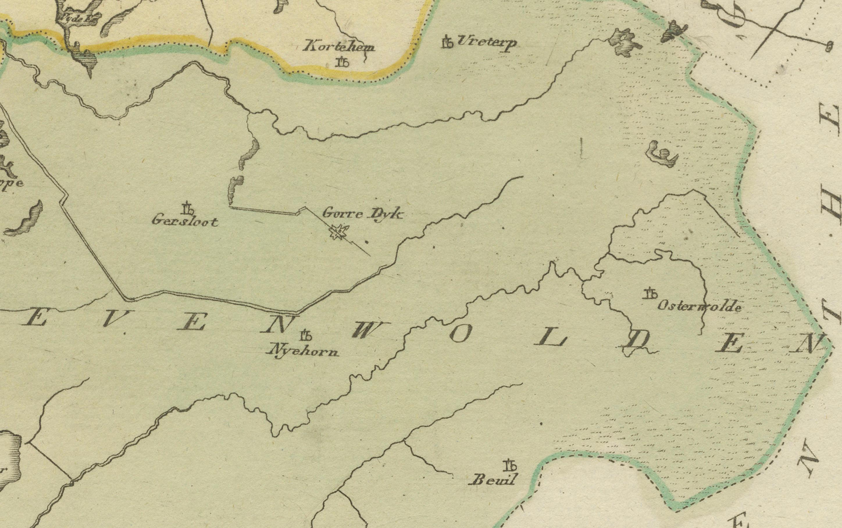
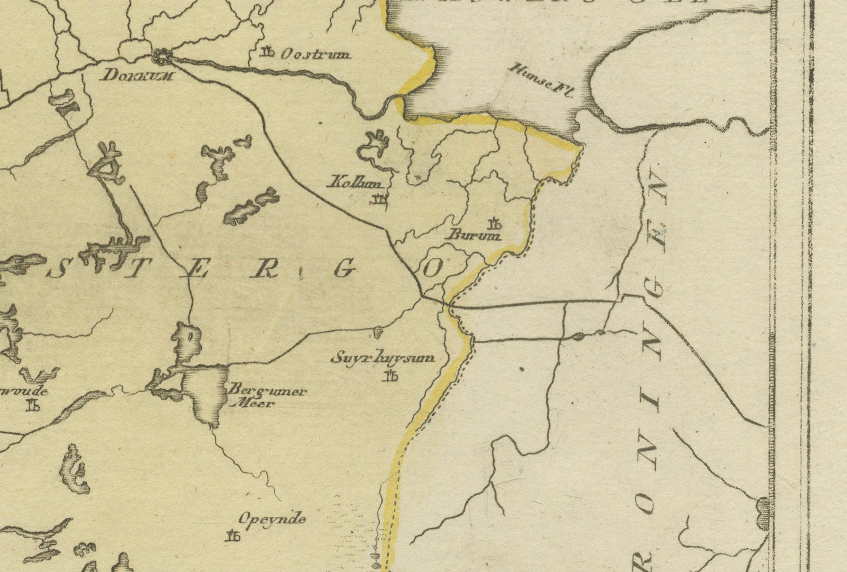
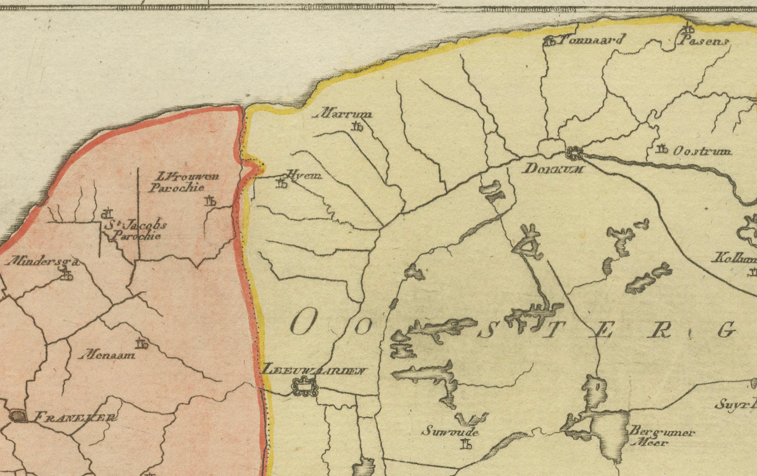
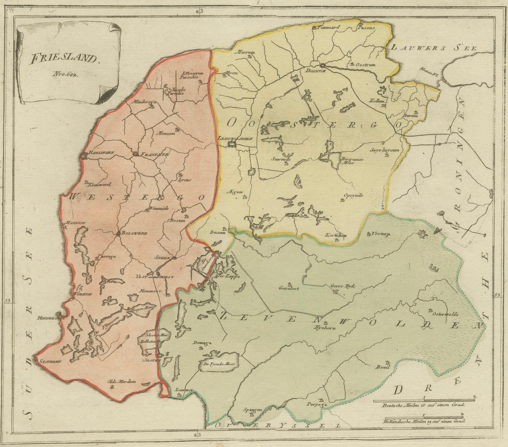
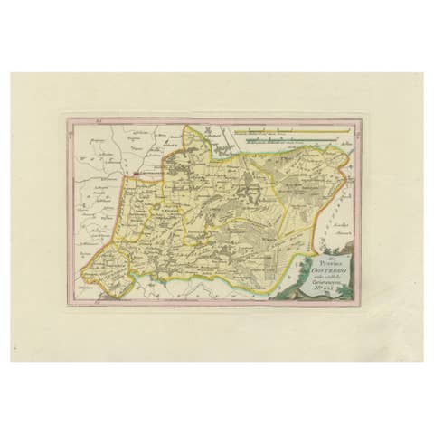
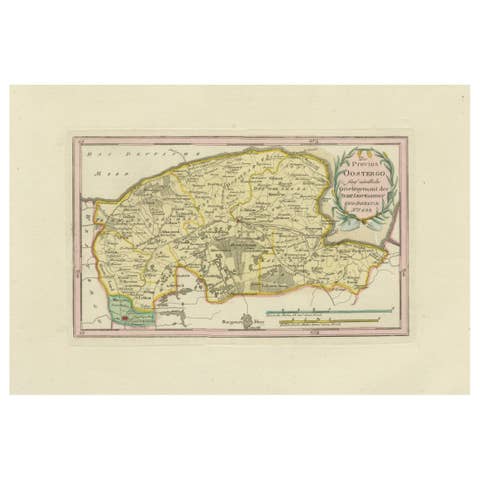
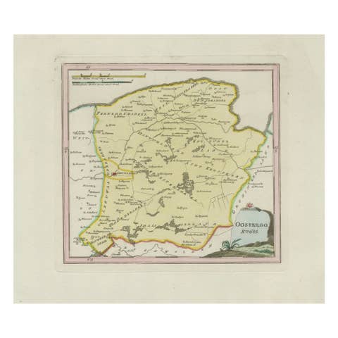
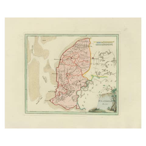
Original engraved map titled Friesland No. 640, published in Vienna in 1791. This sheet is the general overview of the province of Friesland, showing its three major historic regions: Westergo, Oostergo, and Zevenwolden. Each area is outlined and shaded in original hand color — Westergo in red, Oostergo in yellow, and Zevenwolden in green.
The map covers the entire province, from the Zuiderzee (now IJsselmeer) in the south and west to the Lauwerszee and the Groningen border in the north and east. Major Frisian cities appear prominently, including Leeuwarden (the provincial capital), Harlingen, Franeker, Bolsward, Sneek (Snits), IJlst, Workum, Hindeloopen, and Dokkum. Other towns and villages shown include Makkum, Koudum, Witmarsum, Wommels, Berlikum, Ferwerd, Holwerd, Marrum, Stiens, Grouw (Grou), Akkrum, Joure, Heerenveen, Gorredijk, Beetsterzwaag, and many more.
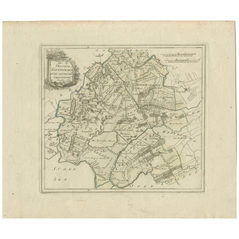
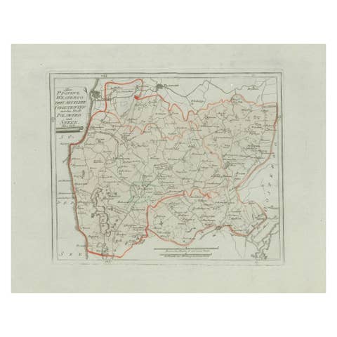
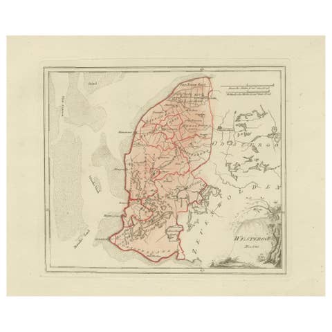
This general sheet provides the broader provincial context for the more detailed district maps in von Reilly’s atlas. Together they form one of the most comprehensive series of Friesland maps published in the late 18th century. The map was issued as part of Franz Joseph Johann von Reilly’s *Schauplatz der fünf Theile der Welt* (“Showplace of the Five Parts of the World”), the first Austrian world atlas project. Von Reilly (1766–1820) was a Viennese publisher and dealer in maps, while the engraving was executed by Ignaz Alberti (1760–1794), whose precise and elegant linework gave clarity to the atlas.
Collectors value this general Friesland map not only for its rarity but also for its role as the key overview sheet within von Reilly’s Friesland series. It remains both a decorative and historically significant representation of the province.
Condition report: Very good condition with light general toning. Marginal age marks outside the engraved area. Original hand coloring preserved. Blank verso.
Framing tips: A dark wood or black frame with a cream or ivory mat will highlight the provincial divisions and hand coloring. When displayed with the detailed district maps, this general sheet forms the centerpiece of a striking Friesland collection.
Technique: Engraving with original hand color
Maker: Franz Joseph Johann von Reilly, engraved by Ignaz Alberti, Vienna, 1791