About this sheet
Palestine & Holy Land Map with Jerusalem Insets – Nieuwe Hand-Atlas, 1876
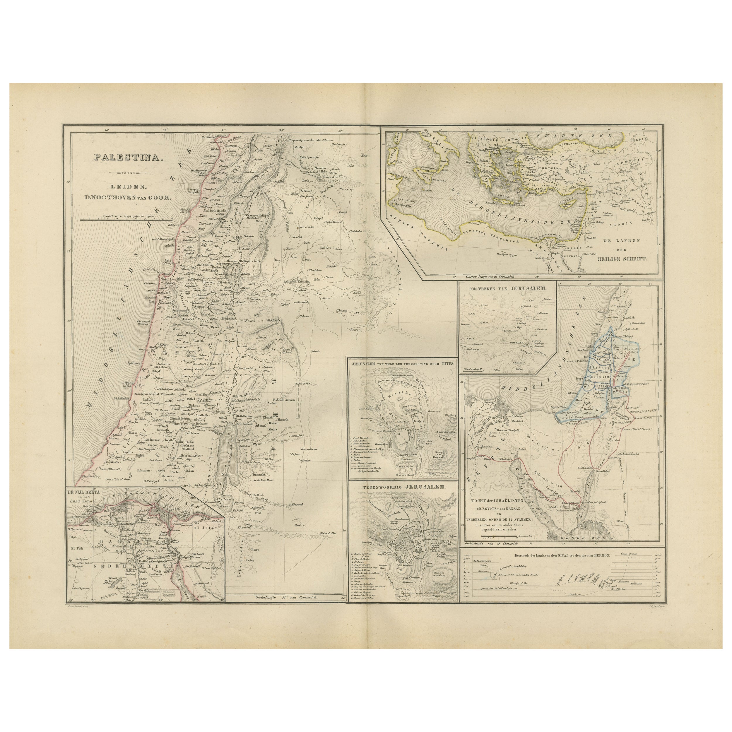
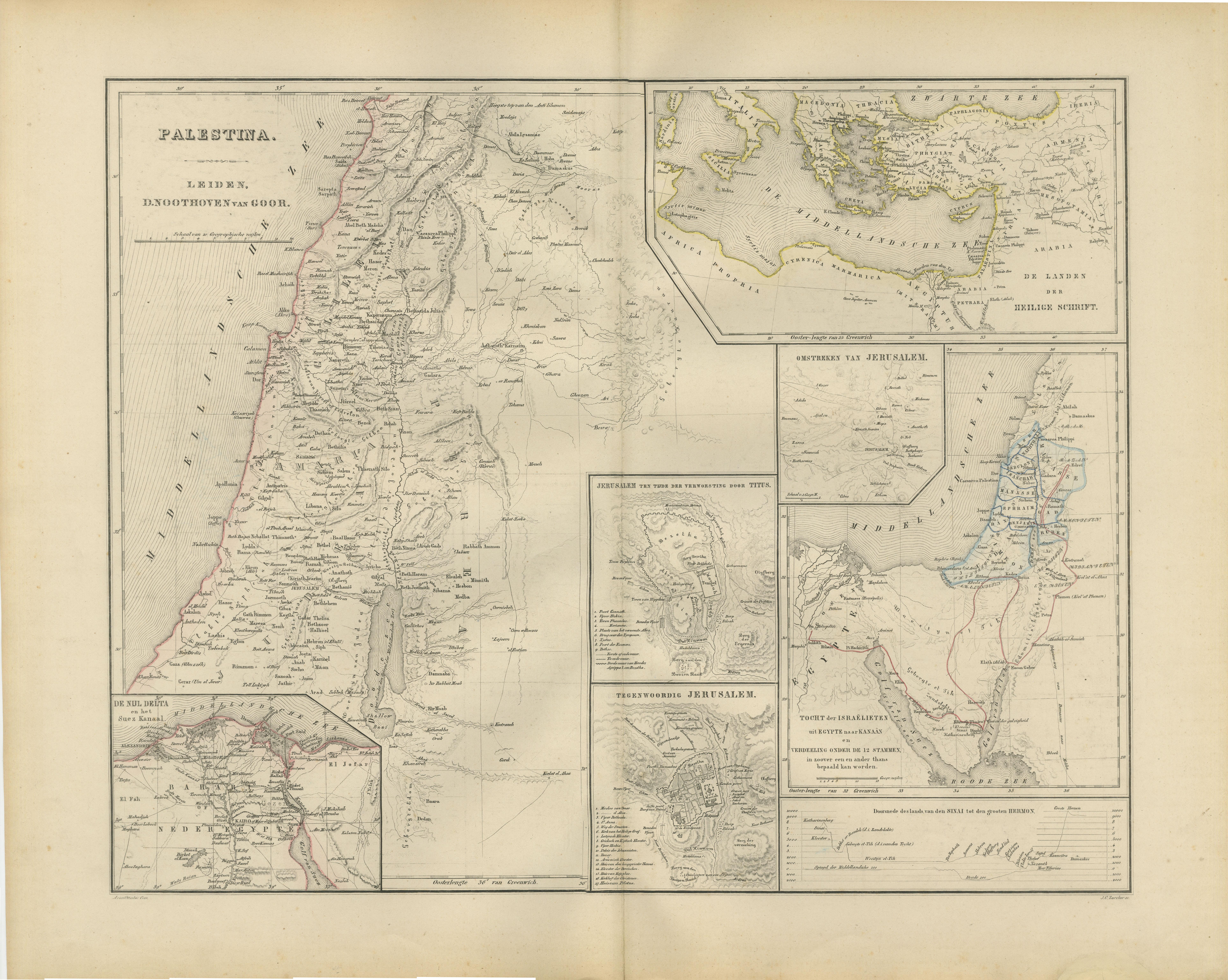
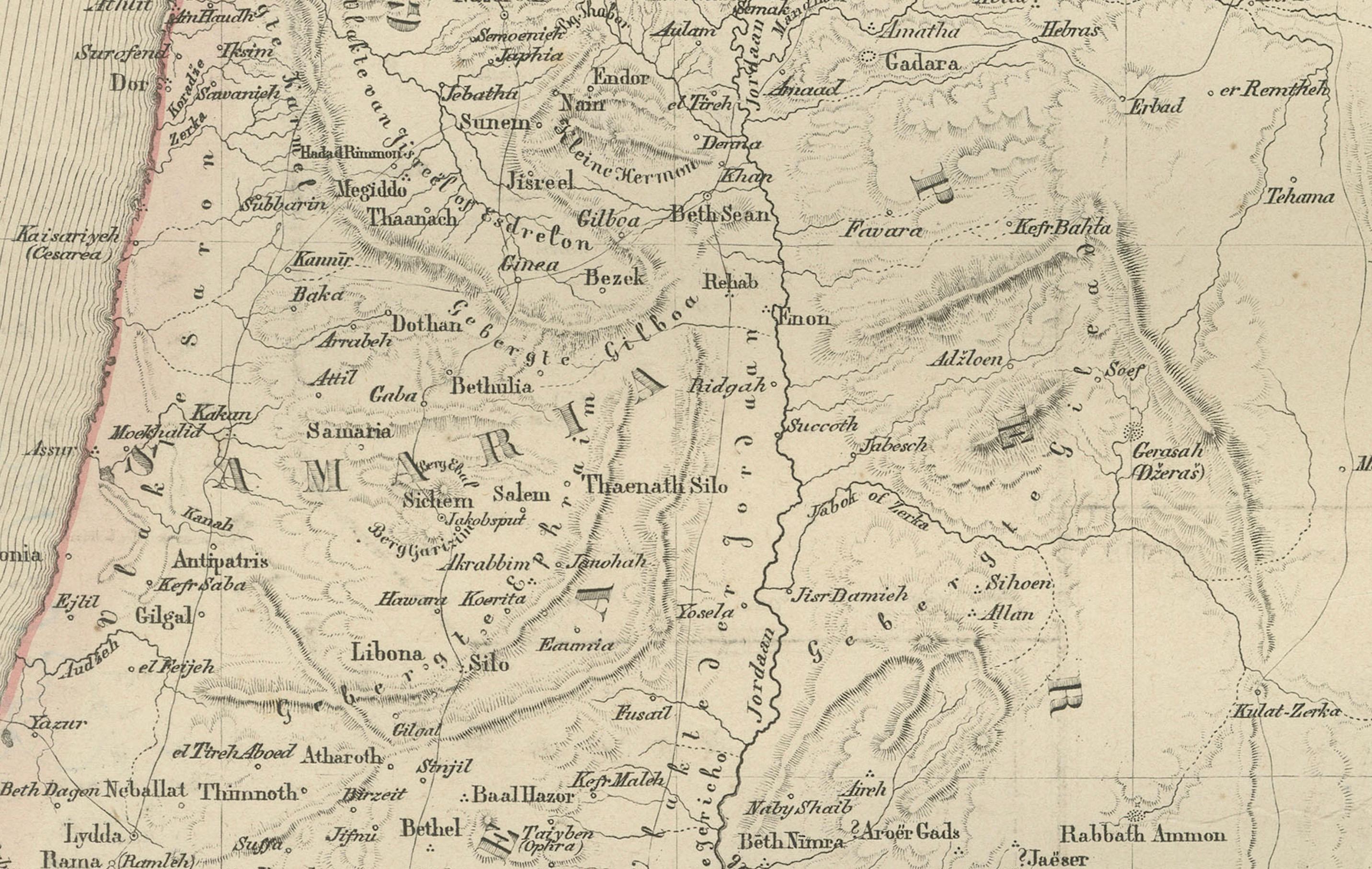
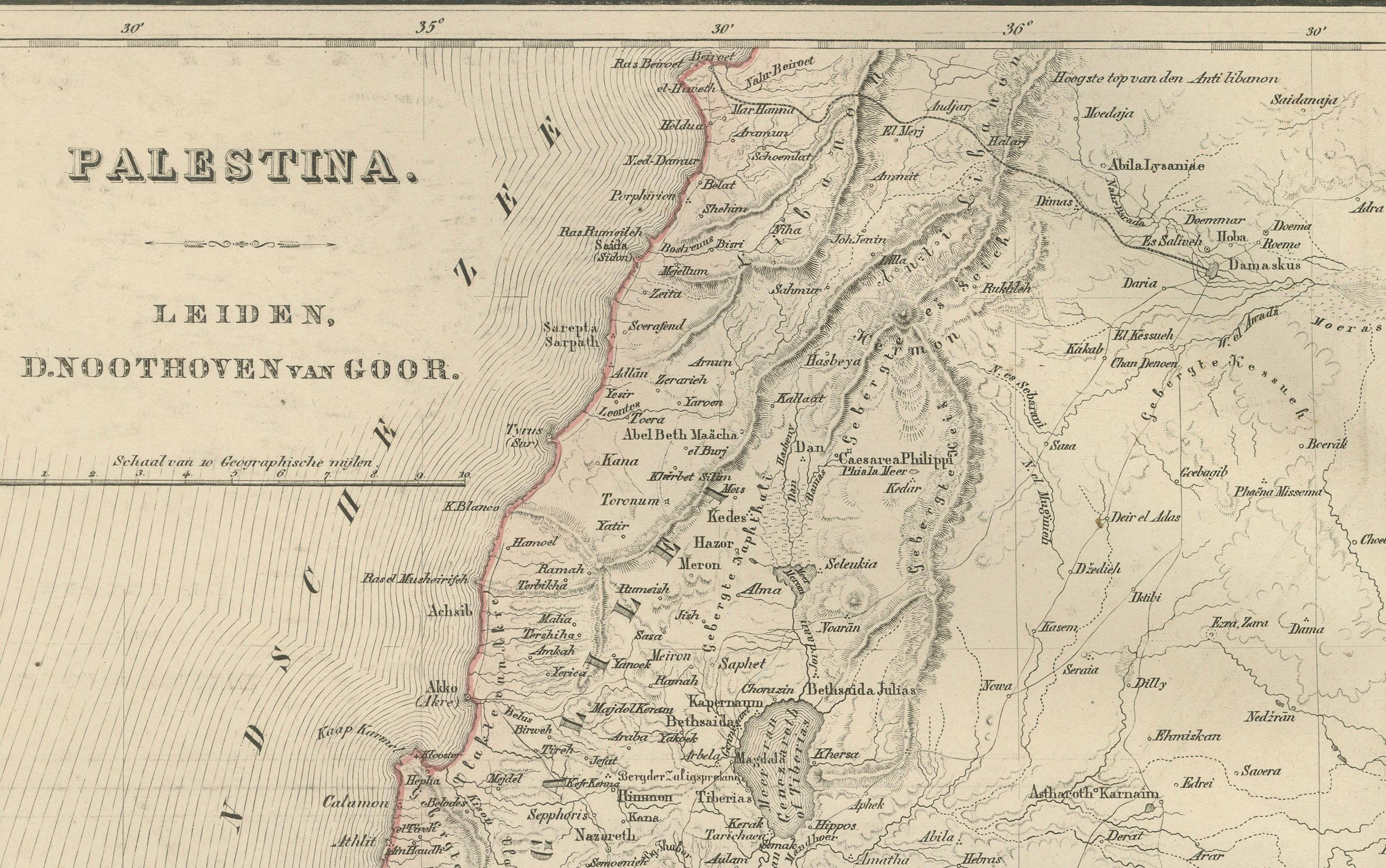
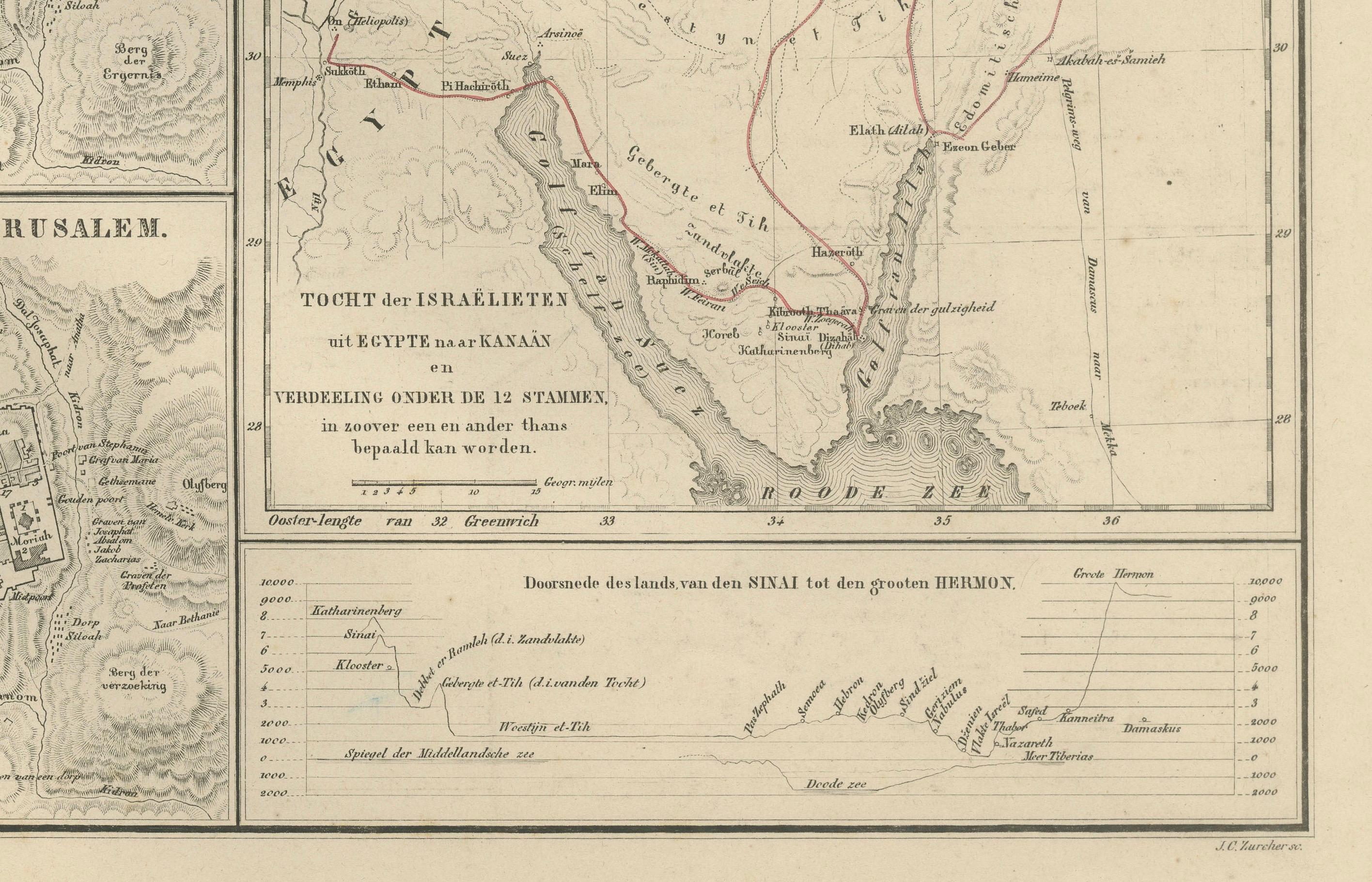
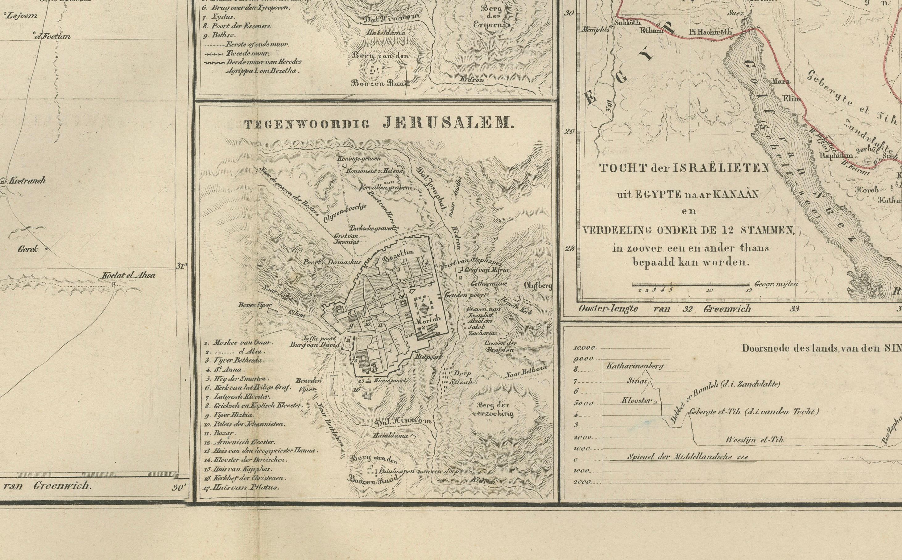
This detailed 19th-century map titled “Palestina” offers a comprehensive cartographic portrait of the Holy Land as it was understood in scholarly and biblical geography during the late 1800s. Published in 1876 in the *Nieuwe Hand-Atlas der Aarde in haren Tegenwoordigen Toestand* by M. Frijlink, revised by A. van Otterloo, and printed by D. Noothoven van Goor in Leiden, the map combines historical, biblical, and topographical information with meticulous Dutch engraving.
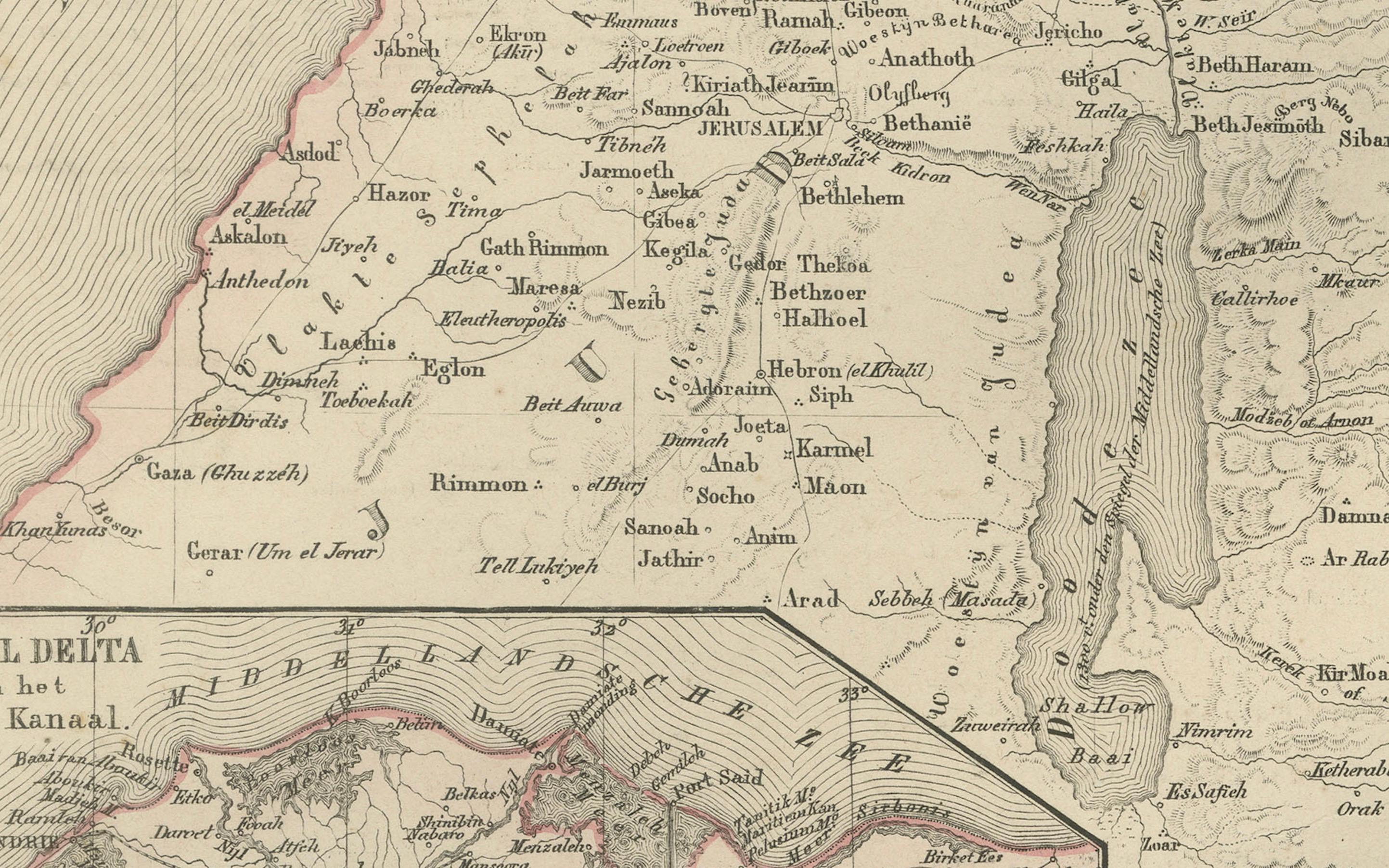
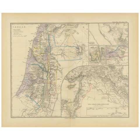
The main map extends from Lebanon in the north to the Sinai Peninsula in the south, and from the Mediterranean coast across the Jordan Valley into the mountainous regions of Judea, Samaria, Galilee, and Transjordan. Cities and towns of both historical and biblical significance—Jerusalem, Bethlehem, Nazareth, Jericho, Hebron, Safed, Tiberias, Jaffa, Gaza, Tyre, Sidon, and Beersheba—are clearly labeled. Rivers, mountains, deserts, caravan routes, and administrative divisions are finely engraved, giving the entire region exceptional clarity.
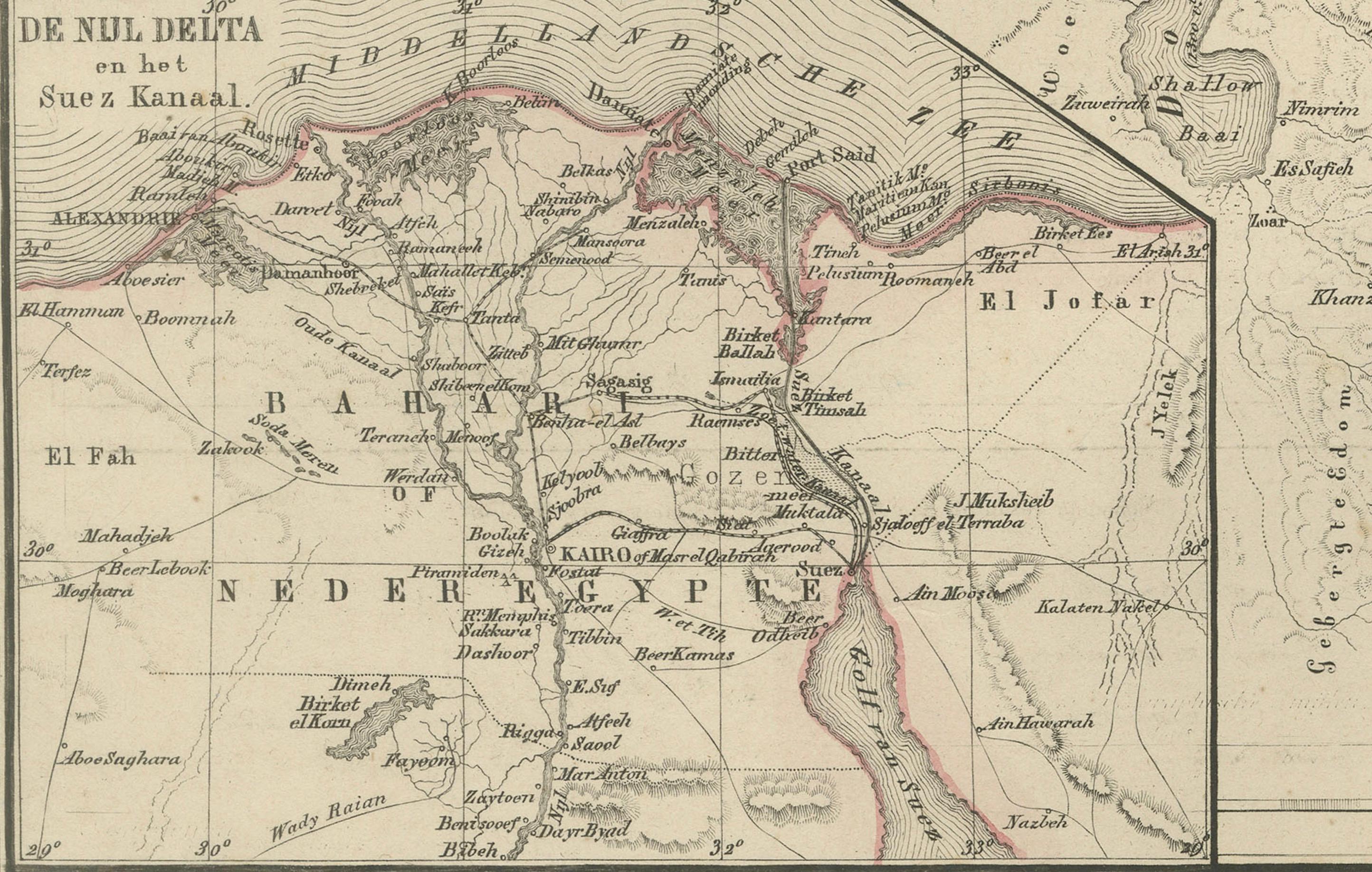
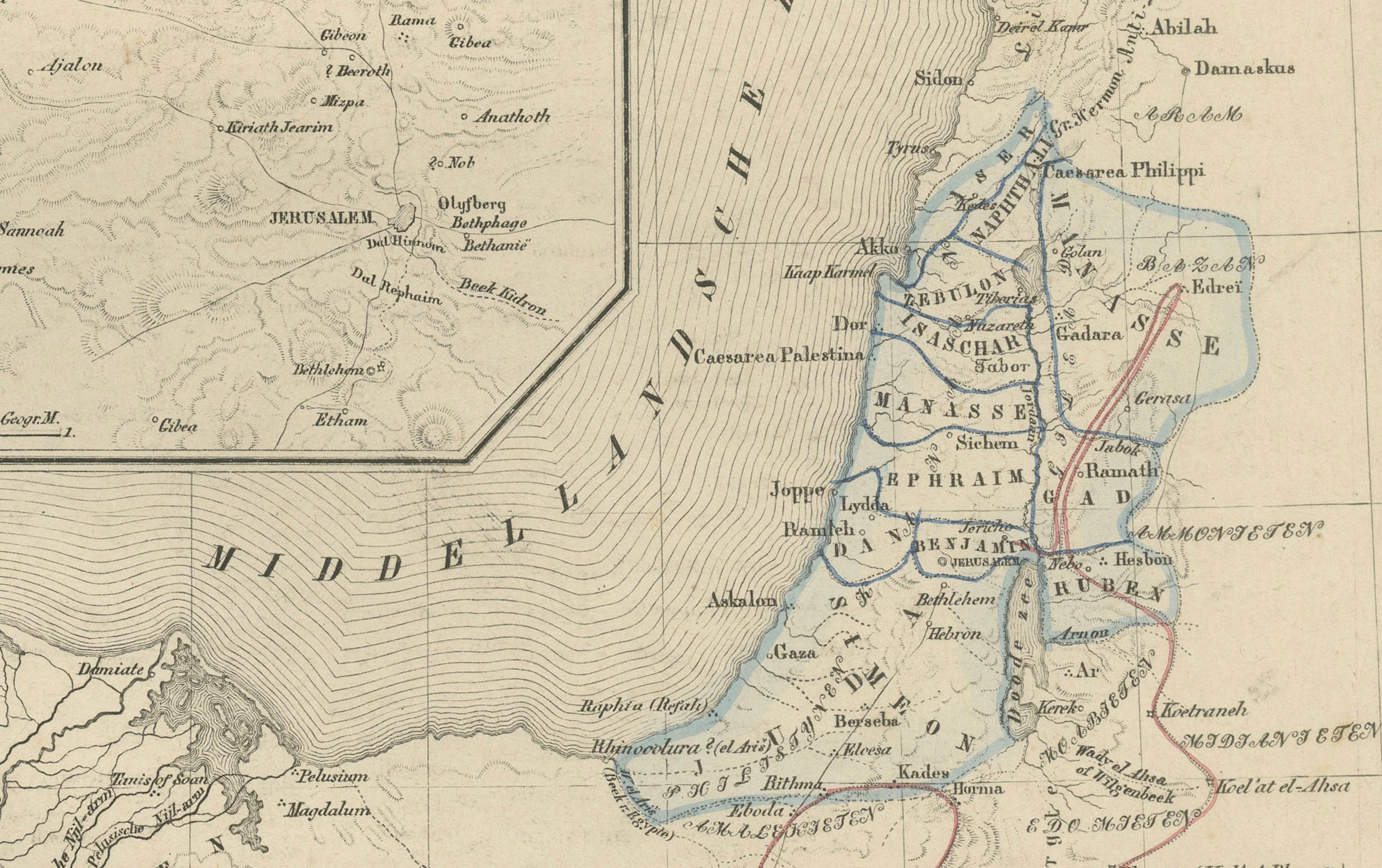
What makes this map particularly rich are its numerous inset maps:
• **Jerusalem and surroundings** — A close view of the city’s topography and ancient sites.
• **Present-day Jerusalem** — Showing city walls, religious landmarks, and 19th-century expansions.
• **Route of the Israelites from Egypt** — A historical-biblical route depiction extending across the Sinai.
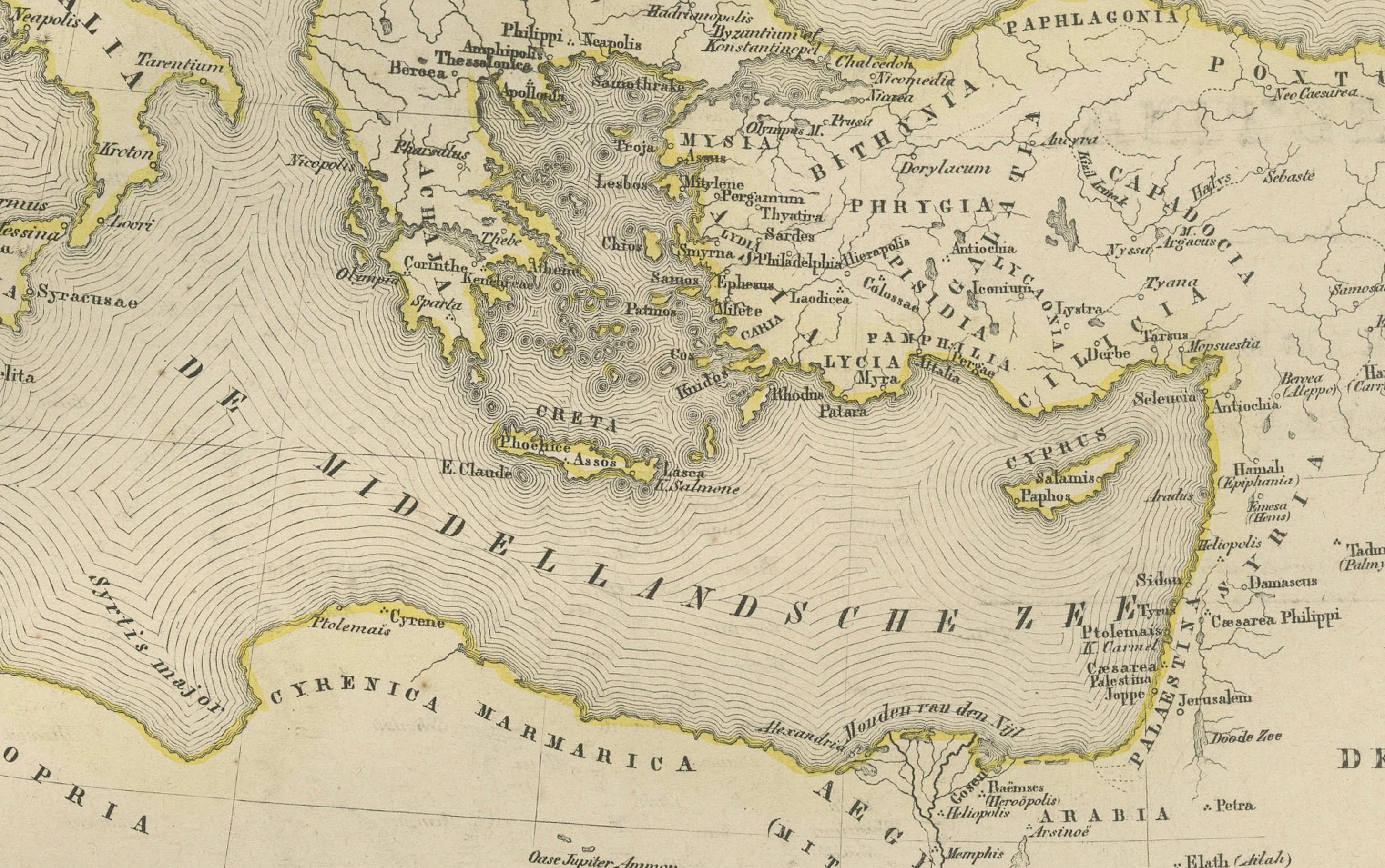
• **Holy Land in biblical times** — A broader contextual map covering the Eastern Mediterranean.
• **Sinai and the Red Sea** — Depicting the presumed areas of the Exodus.
• **Wider Middle East** — Highlighting trade routes, ancient kingdoms, and scriptural geography.
The combination of biblical references with modern 19th-century geography reflects how cartographers of the era sought to unify contemporary scholarship with religious tradition. This plate is therefore equally appealing to collectors of historical cartography, Judaica, Christian history, and Eastern Mediterranean studies.
Engraved with precision and softened by hand-colored boundary lines, the map has a balanced and elegant composition that exemplifies Dutch atlas production during the period.
Condition Report: Good condition for age. Light toning and small foxing around the margins. Original center fold as issued. Clean impression with well-preserved engraving detail. No tears, repairs, or losses.
Framing Tips: A soft ivory mat enhances the fine linework, while a walnut, dark oak, or understated black frame gives the map a refined presence. Because of the multiple inset maps, a slightly wider mat margin creates visual balance. Beautiful for libraries, study rooms, or interiors focused on biblical history or Middle Eastern cartography.
Keywords: Palestine, Holy Land, Israel, Judea, Samaria, Galilee, Jerusalem, Bethlehem, Nazareth, Hebron, Jericho, Jaffa, Gaza, Beersheba, Dead Sea, Sea of Galilee, Jordan River, Lebanon, Phoenicia, Tyre, Sidon, Carmel, Haifa, Mount Sinai, Sinai Peninsula, Egypt, Red Sea, Damascus, Petra, Edom, Moab, Ammon, Philistia, Canaan, Biblical geography, Exodus route, Ottoman Palestine, 19th century Holy Land map, 1876 Palestina map, Nieuwe Hand-Atlas.