maps-prints.com
✦
Black Friday Sale
Friday 20 to Monday 30 November: up to 30% off original antique maps and prints
The terms
- Up to 30% off selected original antique maps and prints. Every piece is an original, printed in its own time; none is a reproduction.
- The sale runs from Friday 20 November to Monday 30 November. Sale prices shown here apply from Friday 20 November; until then pieces are sold at their regular price.
- Free FedEx shipping on qualifying orders placed on our own websites: USA, Canada, UK and Europe over $500 / €450; rest of the world over $750 / €675. Smaller orders pay our normal shipping rate.
- Orders placed from 15 to 30 November ship from 1 December, in time for Christmas. Our shipping partner is InXpress.
- Each piece is unique, so the sale is while stock lasts.
Collection:AllAmericanSea chartsMilitaryNatural historyFashionArchitectureBotanicalSacredEast Indies
Sale prices apply from Friday 20 November. Save the pieces you like with the heart and come back on Friday.
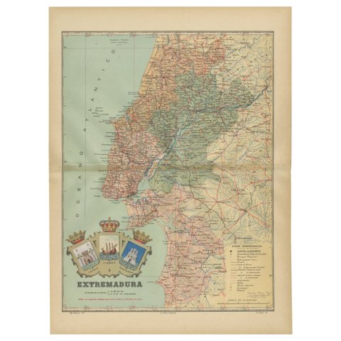 An Antique Map of Extremadura: Crossroads of History and Nature, 1903
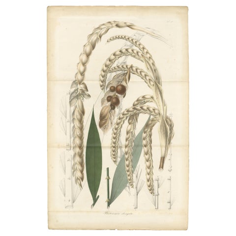 Large Original Antique Botanical Illustration of the Plectocomia Elongata, c1860
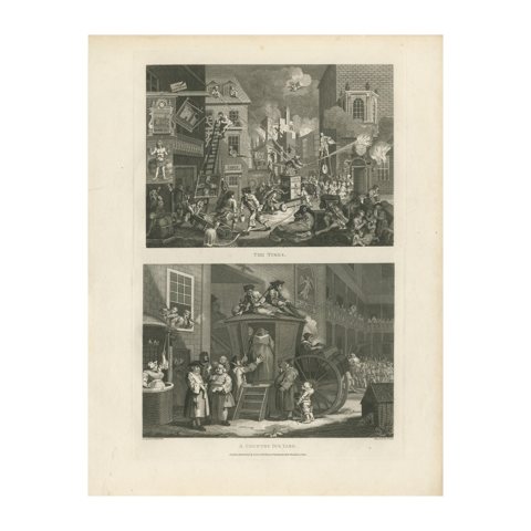 Urban Turmoil and Rural Life: A Dual Perspective by Thomas Cook (1800)
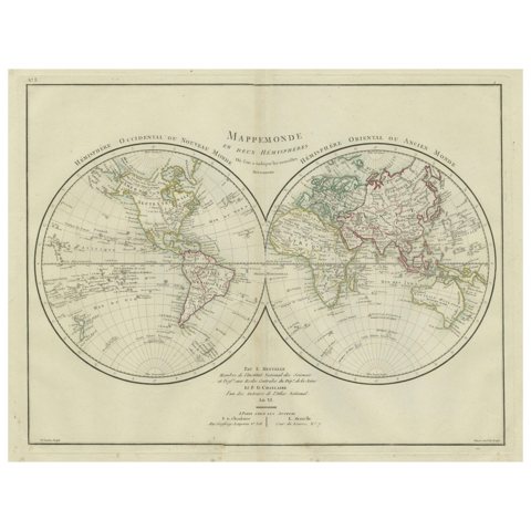 World Map in Two Hemispheres: Eastern & Western - 1802 Tardieu Atlas
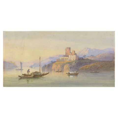 Edwin St. John’s Brush: Misty Morning at the Cliffside Ruins
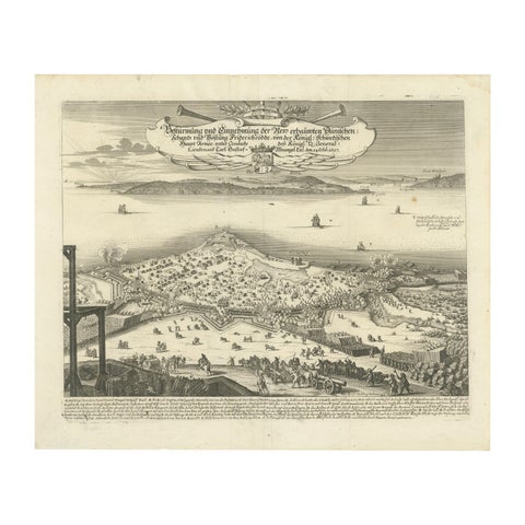 Prince Henry's Naval and Land Battle during the Seven Years' War Engraved, 1667
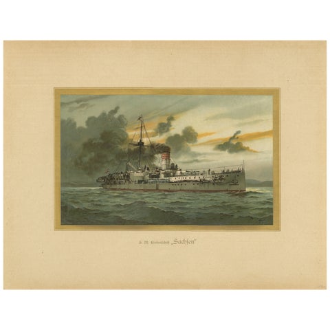 SMS Sachsen: Pioneering German Coastal Defense Ship – 1903 Chromolithograph
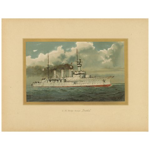 SMS Hansa: Germany’s Pioneering Protected Cruiser – 1903 Chromolithograph
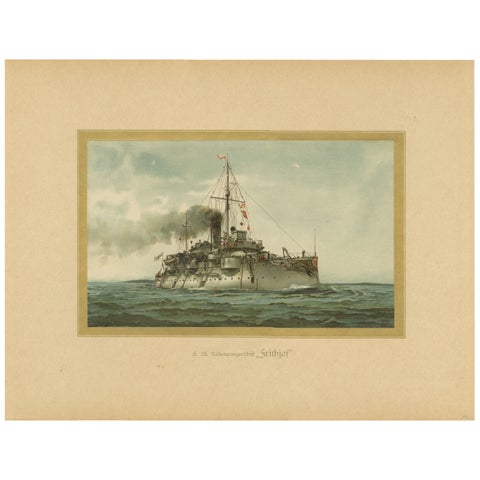 SMS Siegfried: Chromolithograph of a German Coastal Defense Ship from the 1890s
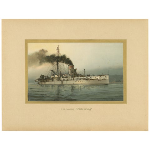 SMS Württemberg: German Coastal Defense Ship in Chromolithograph by Hugo Graf
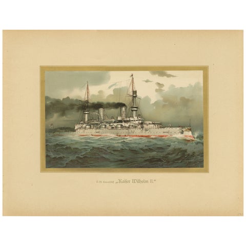 SMS Kaiser Wilhelm II: German Flagship Battleship in Chromolithograph by H. Graf
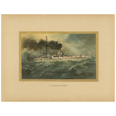 SMS Baden: German Coastal Defense Ship in Turbulent Seas – 1903 Chromolithograph
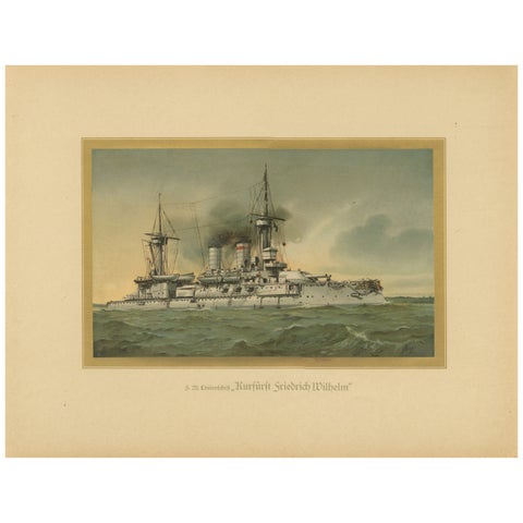 SMS Kurfürst Friedrich Wilhelm: German Pre-Dreadnought Battleship – 1903
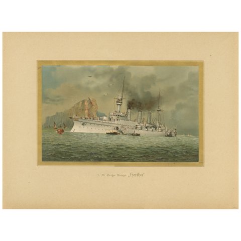 SMS Hertha: German Protected Cruiser in the Far East – 1903 Chromolithograph
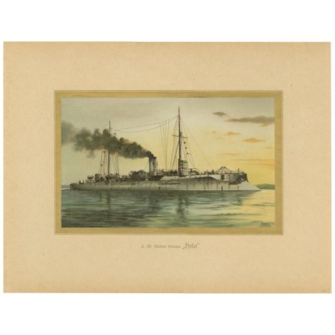 SMS Hela: German Light Cruiser in Pre-WWI Era – 1903 Chromolithograph
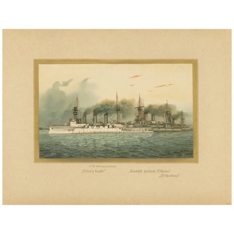 German Navy Training Squadron: with SMS Victoria Louise and More, 1903
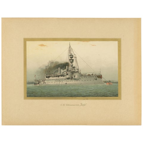 SMS Ägir: German Coastal Defense Ship – 1903 Chromolithograph
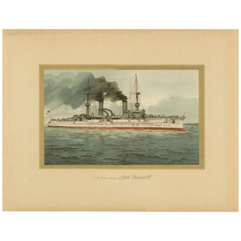 SMS Fürst Bismarck: German Armored Cruiser in Pre-WWI Era – 1903 Chromolitho
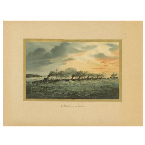 German Torpedo Boat Division at Sea – 1903 Chromolithograph by Hugo Graf
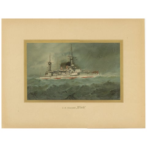 SMS Wörth: German Pre-Dreadnought Battleship in Stormy Seas – 1903 Chromolitho
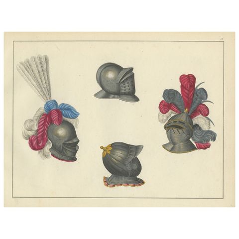 19th-Century Hand-Coloured Lithograph of Ornate Knightly Helmets with Plumes
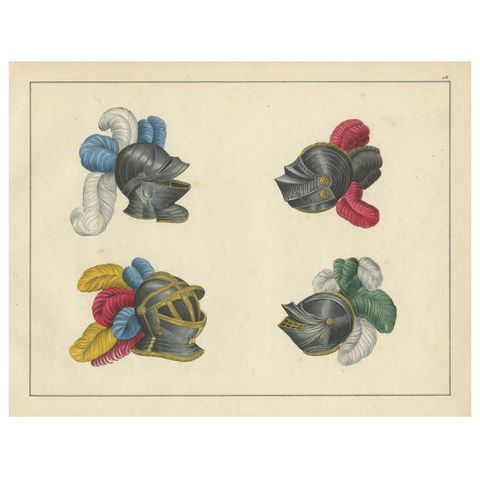 19th-Century Hand-Coloured Lithograph of Knightly Helmets with Vibrant Plumes
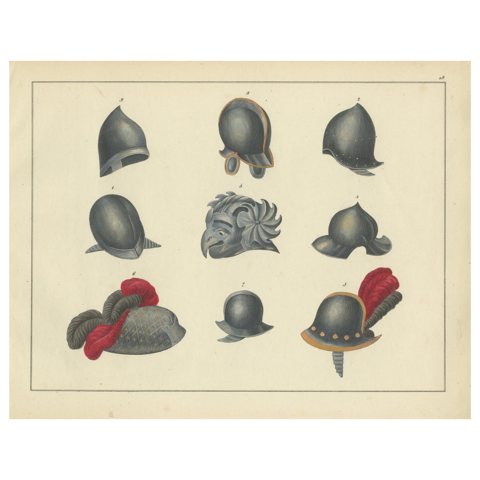 19th-Century Hand-Coloured Lithograph of Medieval and Renaissance Helmets
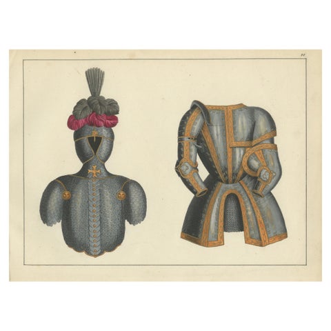 19th-Century Hand-Coloured Print of Ornate Medieval Armor and Tournament Attire
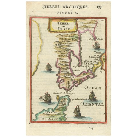 1685 Alain Manesson Mallet Map of Hokkaido (Lesso) in Northern Japan
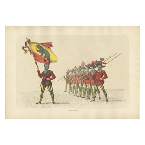 The Standard-Bearer of Bern Leading a Swiss Infantry Formation, Published 1855
 Old Lithograph of a Hindeloopen Nurse and Children with Painted School Box, 1932
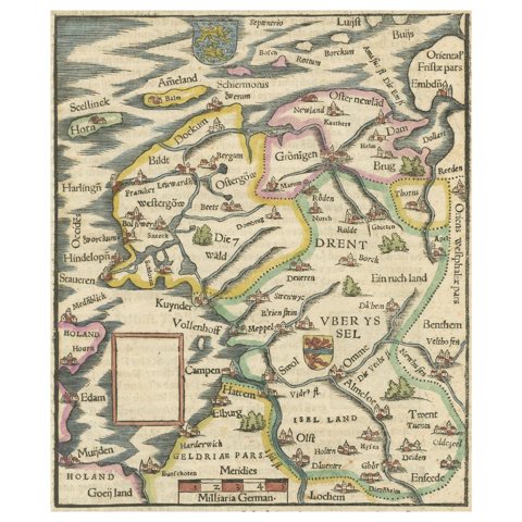 Friesland, Groningen and Overijssel – Rare Woodcut Map by Münster, c. 1550
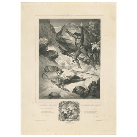 Romantic Era Lithograph – Jocelyn Sauvant Laurence de la Mort, c.1840
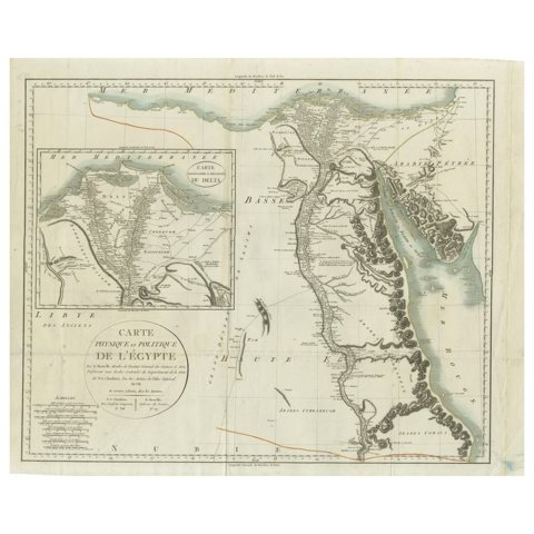 Antique Map of Egypt with Detailed Inset of the Nile Delta, ca. 1799
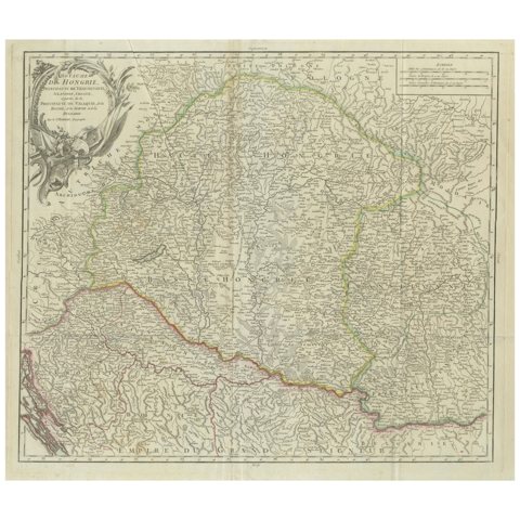 Antique Map of the Kingdom of Hungary and Transylvania, circa 1780
 Antique Hand-Colored Engraving of Sparrow Hawk by Eleazar Albin, circa 1730
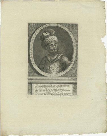 King Nader Shah of Persia – Thamas Koulikan, 18th Century Engraving
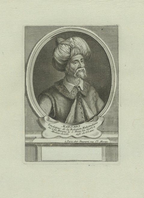 Prophet Muhammad (Mahomet) – 18th Century Paris Engraving by Daumont, c.1770
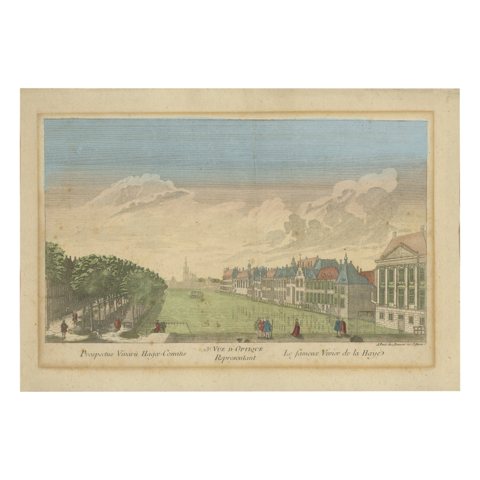 Optica View The Hague Hofvijver & Binnenhof, Basset c.1770 Hand-Colored Print
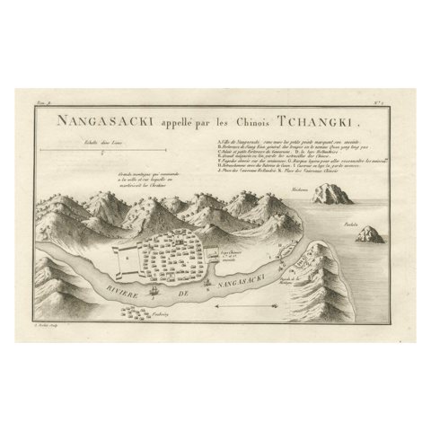 Antique Map of Nagasaki – Nangasacki Called Tchangki by the Chinese, circa 1790
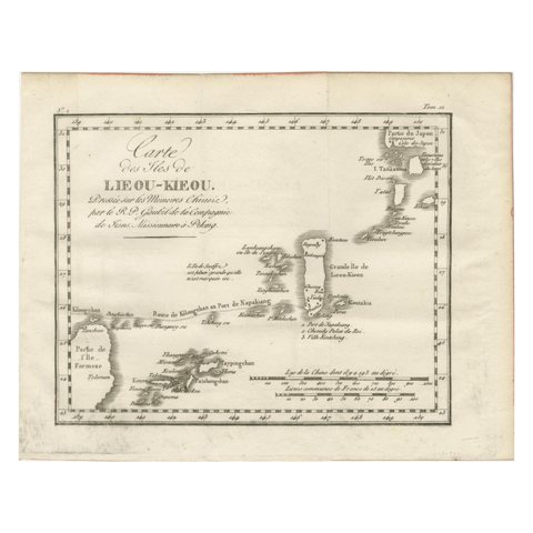 Antique Map of the Ryukyu Islands – Map of the Islands of Lieou-Kieou, c.1760
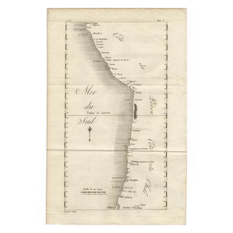 Antique Map of the Coast of Peru and Chile – Detailing Ports & Coastlines, c1760
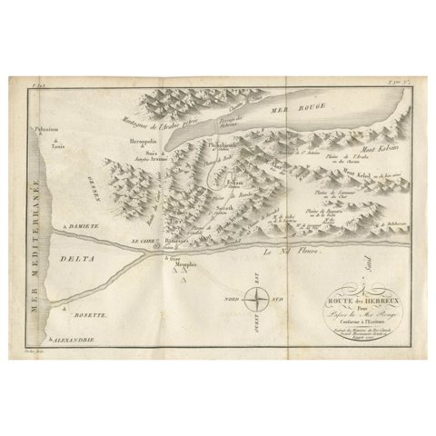 Antique Map of the Route of the Hebrews – Egypt to the Red Sea, 1720
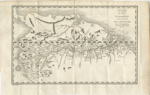 Antique Map of the Amazon River – Maragnon or River of the Amazons, c.1760
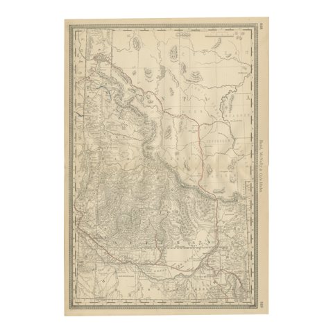 1888 Idaho Map – The Gem State’s Railroads, Mining Camps & Counties
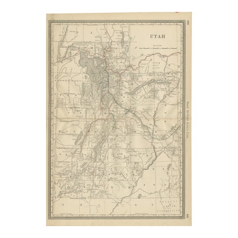 Rare 1888 Utah Map – The Beehive State’s Railroads, Counties & Great Salt Lake
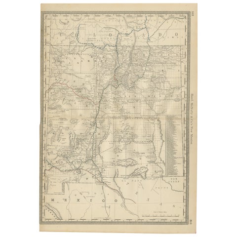 1888 New Mexico Map – Railroads, Counties & The Land of Enchantment
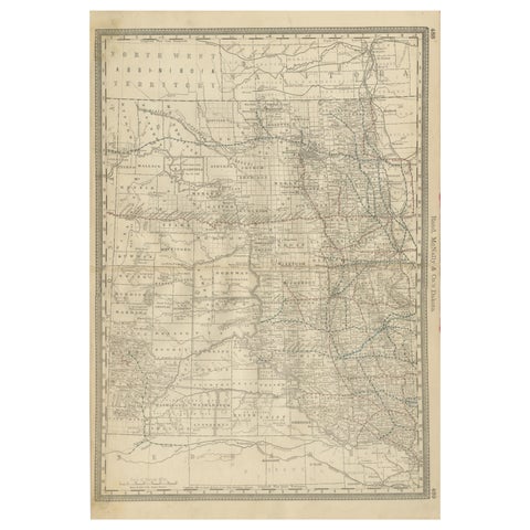 Dakota Territory Railroad Map 1888 – Rand McNally Antique Lithograph
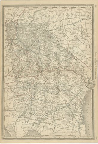 Georgia 1888 Antique Map – Railroads, Settlements & Frontier Counties
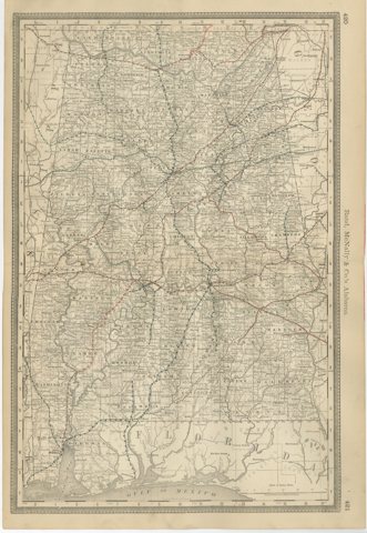 Alabama Antique Map 1888 – The Heart of Dixie, Railroads & Towns
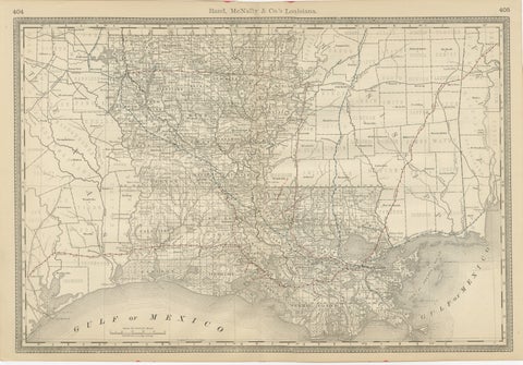 Louisiana Antique Map 1888 – The Pelican State, Railroads & Counties
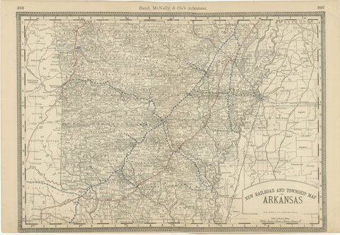 Antique Map of Arkansas 1888 – The Natural State, Railroads & Cities
Sharing the sale? Download the Black Friday banners.