About this sheet
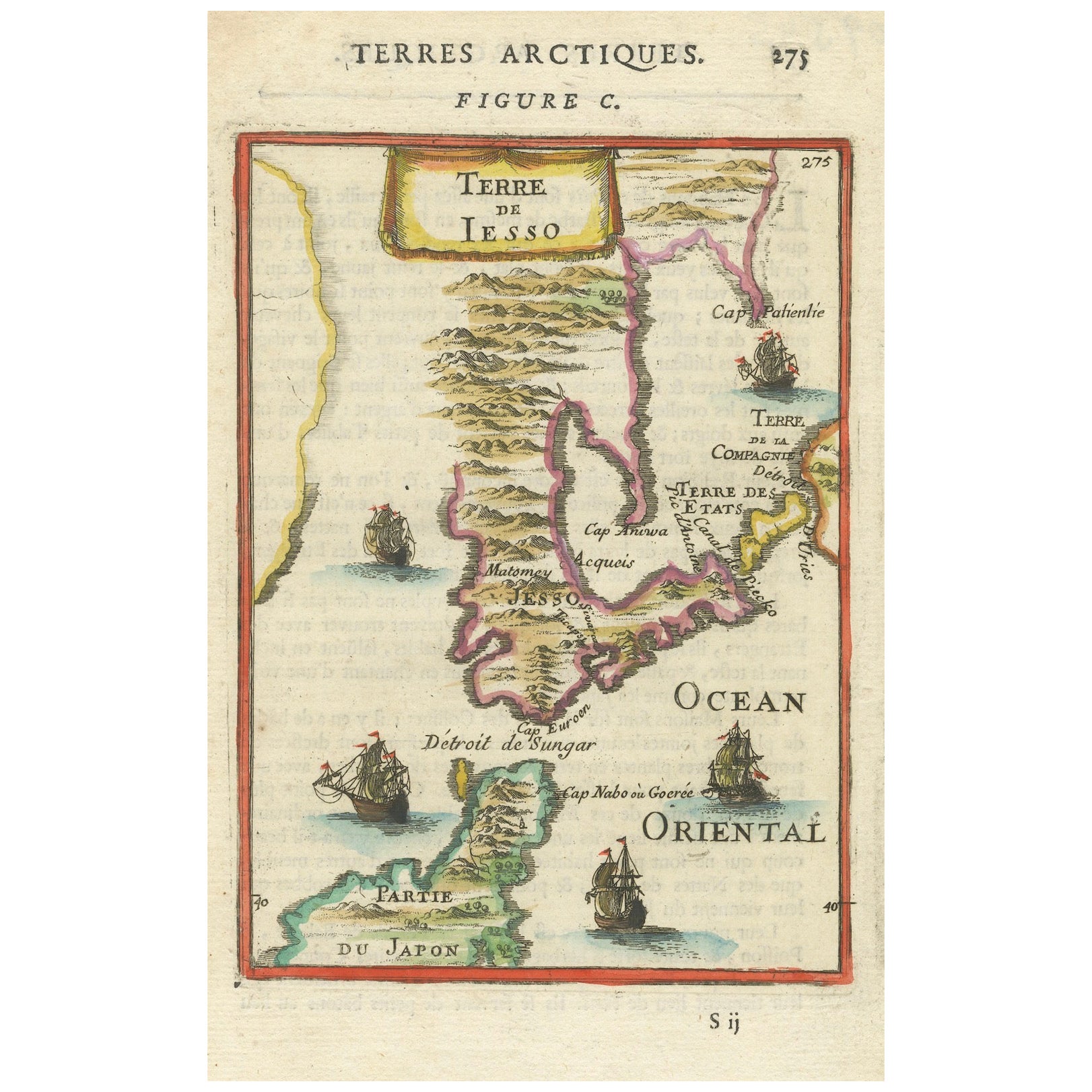
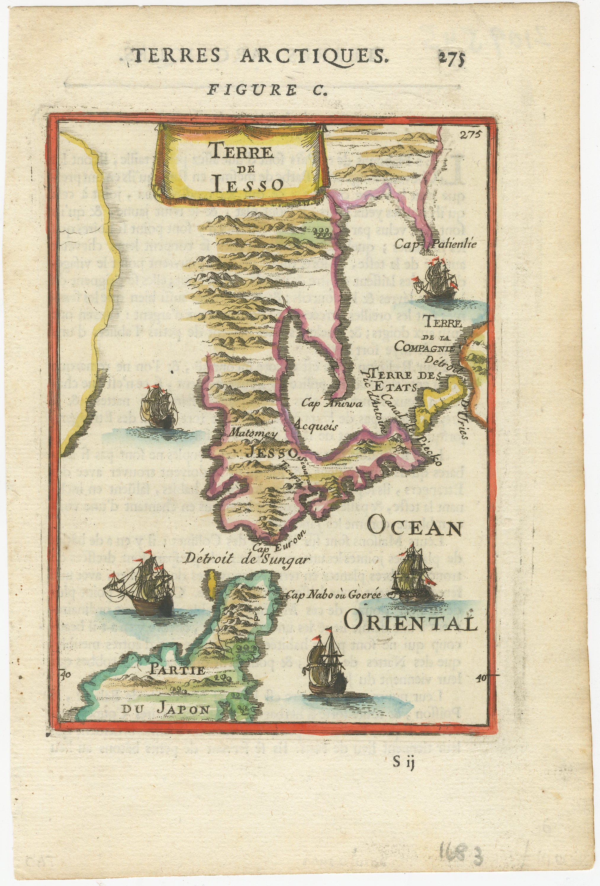
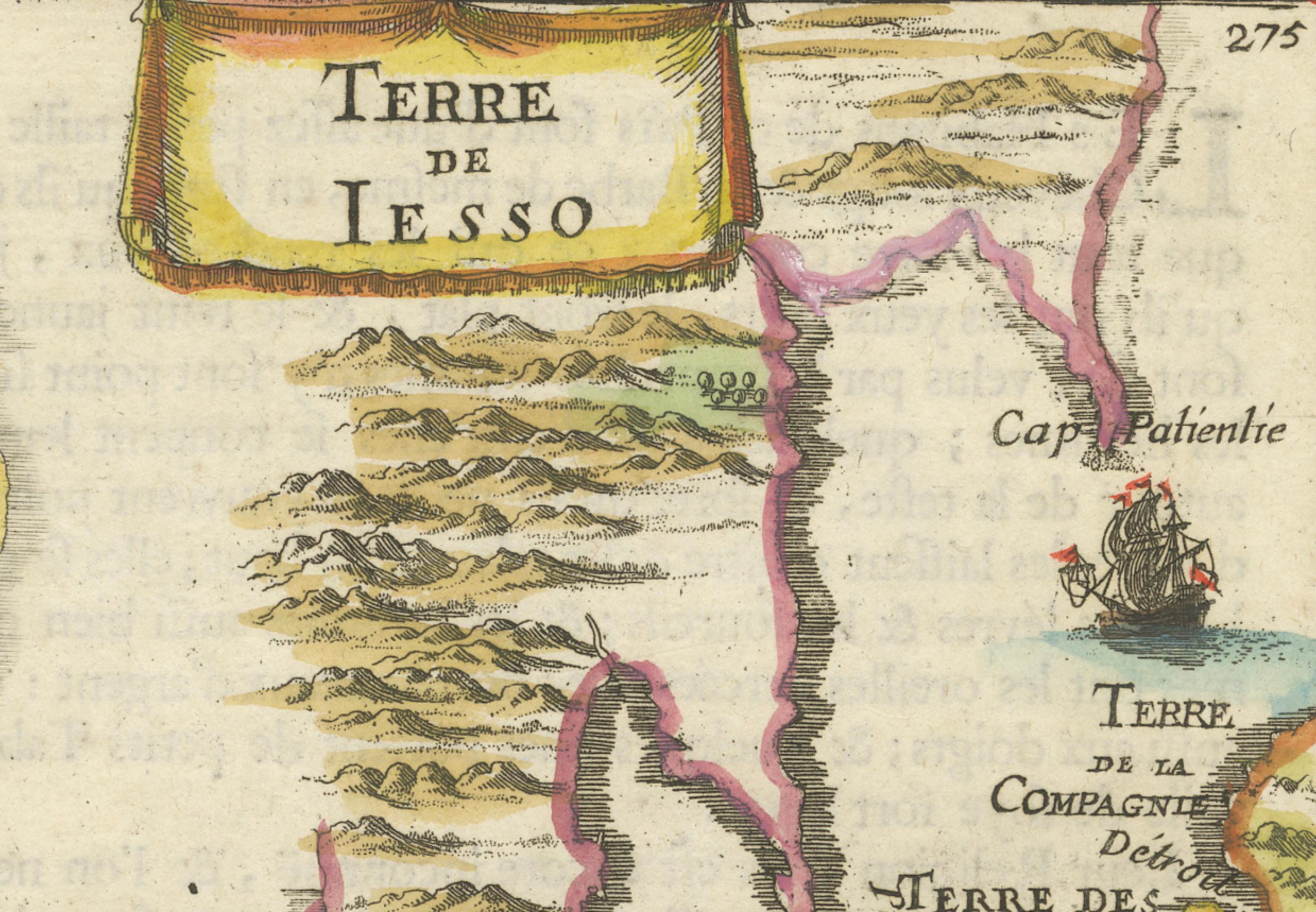
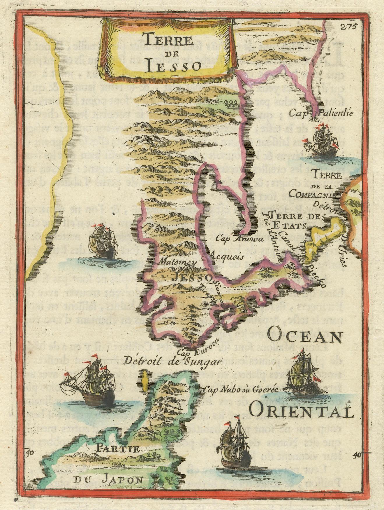
This engraved seventeenth-century map, titled Terre de Iesso, was published in 1685 as part of Alain Manesson Mallet’s Description de l’Univers. Printed in Paris and Frankfurt by Zunner, this map presents a European interpretation of northern Japan, particularly Hokkaido, referred to as Iesso, along with the speculative lands of Company’s Land and Terre des États.
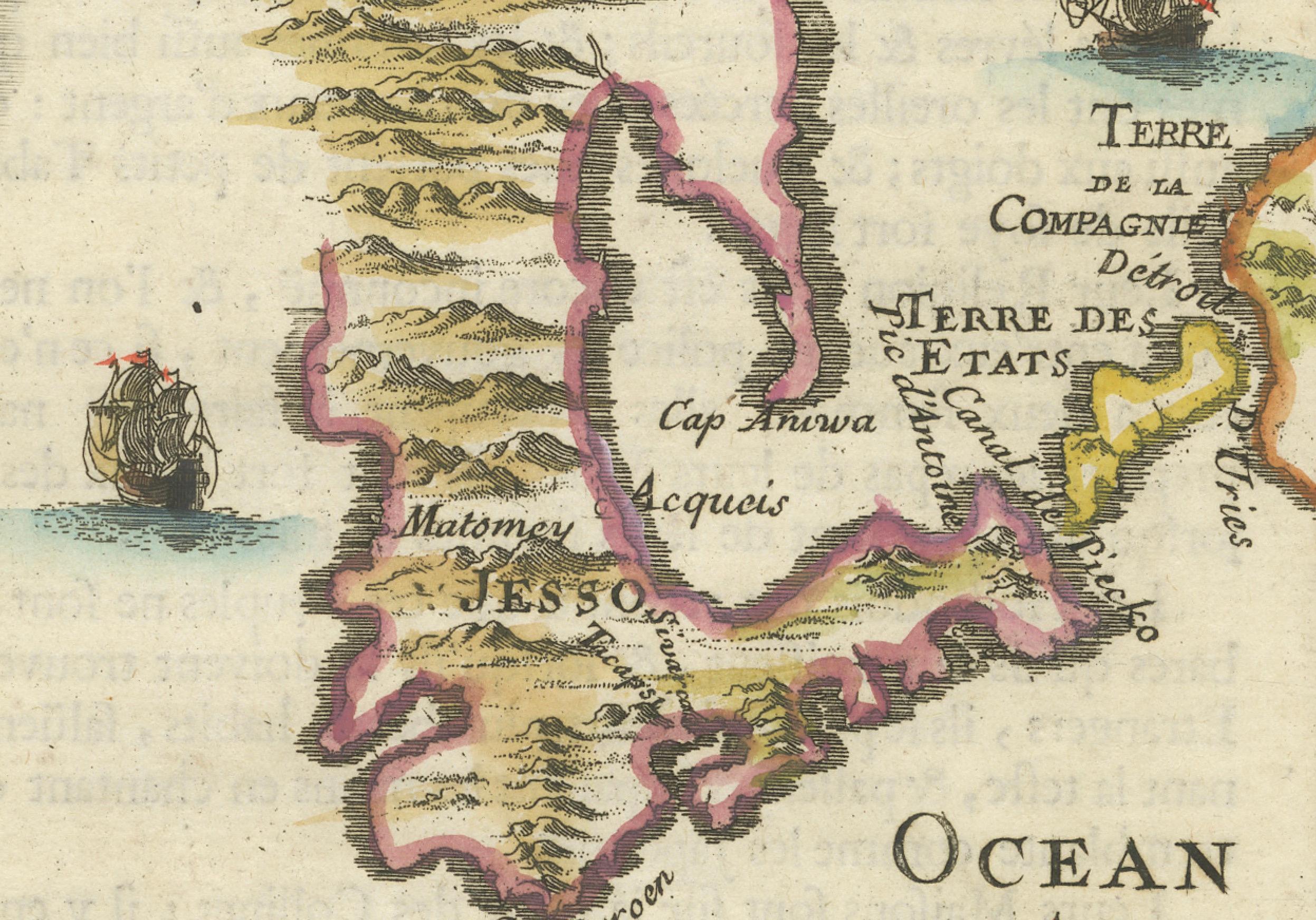
During the Edo period under the Tokugawa Shogunate, Japan was largely closed to foreign trade and exploration, making European knowledge of its geography limited. As a result, maps such as this one included speculative elements, including the presence of mythical lands like Company’s Land, which was believed to have been sighted by European navigators but was later proven nonexistent. The map also includes Terre de la Compagnie and Terre des États, which frequently appeared on seventeenth-century European maps following the accounts of Maarten Gerritsz Vries, a Dutch explorer who sailed near Japan in 1643.
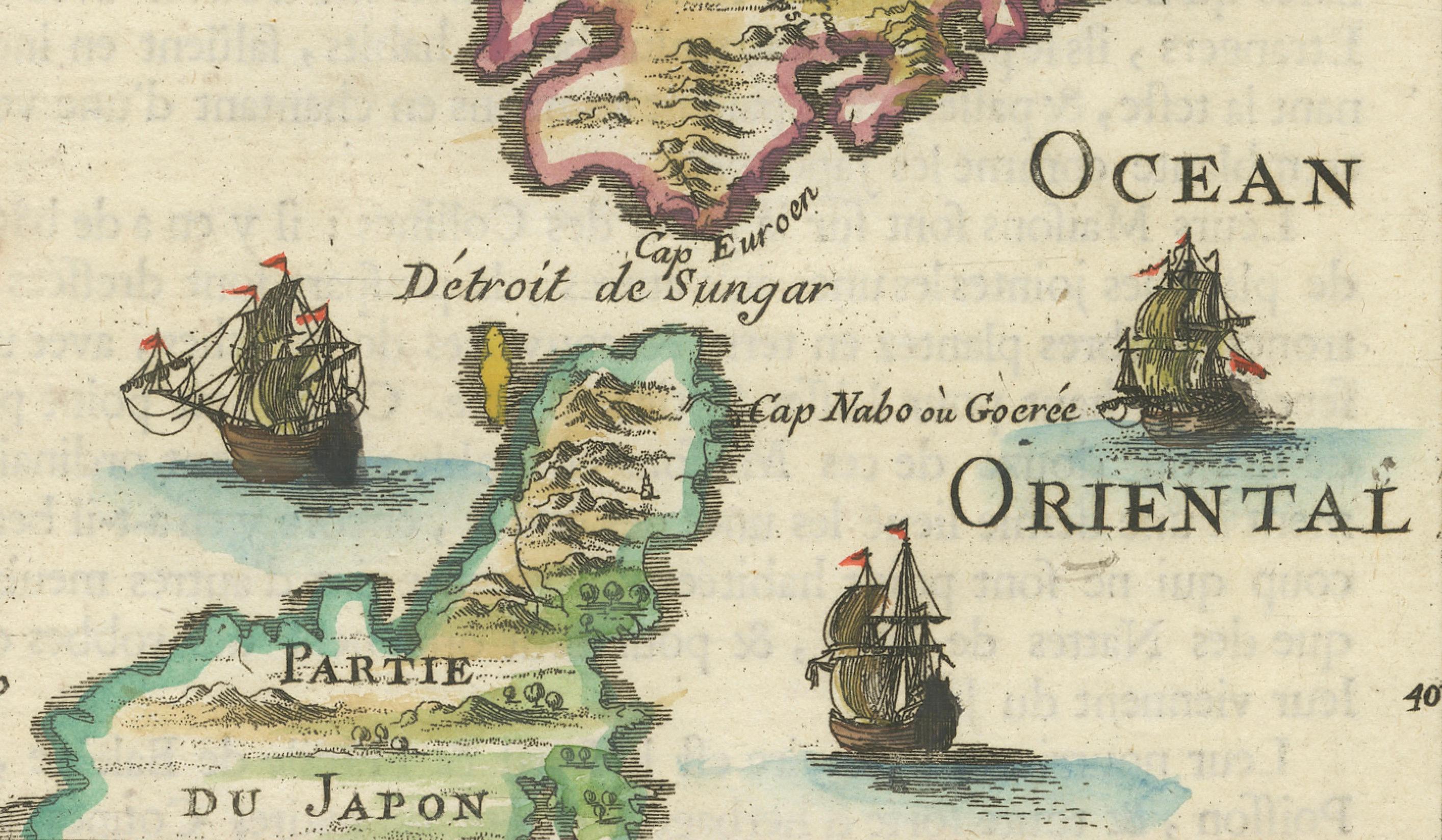
The map features a decorative style, with detailed illustrations of sailing ships in the Ocean Oriental, or Pacific Ocean. The Strait of Sungar, today known as the Tsugaru Strait, separates Iesso from the southern part of Japan, labeled Partie du Japon. Other notable coastal features include Cap Nabo ou Goree, an early name for a promontory in northern Japan.
This map reflects the speculative nature of early European cartography, as mapmakers combined limited firsthand knowledge with secondhand reports from sailors and traders. The depiction of Company’s Land persisted in maps well into the eighteenth century before it was conclusively disproven. The engraving is finely detailed, and the addition of sailing ships and stylized topography enhances its visual appeal.
Mallet’s Description de l’Univers was an important geographical work that provided contemporary European readers with knowledge of the known world. His maps, though small in size, were carefully engraved and often beautifully hand-colored, making them highly desirable among collectors of early cartography.
Cartographer and Source:
Alain Manesson Mallet, who lived from sixteen thirty to seventeen hundred six, was a French military engineer, cartographer, and cosmographer. He served under King Louis the Fourteenth and published Description de l’Univers in sixteen eighty three to sixteen eighty five. His work contained a combination of geographical maps, views, and descriptions of different regions around the world. Mallet’s maps are known for their artistic engraving, compact format, and imaginative interpretations of distant lands.
Condition Report:
The paper is well-preserved, with a fine laid texture characteristic of seventeenth-century printing. The engraving remains sharp, with clear lettering and precise details of ships, coastlines, and mountainous terrain.
There is light age-toning, particularly along the edges, which is expected for a map of this period. The original hand-coloring remains vibrant, with carefully applied shading distinguishing different territories. Some minor text bleed-through is visible from the reverse side, typical of books and atlases of this era, but it does not detract from the clarity of the map. The margins are intact, and there are no major tears, stains, or repairs, making this a fine and collectible example of early European cartography of Japan.
Framing Recommendations:
To properly preserve and display this antique map, museum-quality archival materials are recommended.
For matting and backing, use acid-free, museum-grade board to protect the paper from further aging. A double mat with a neutral outer mat and a warm beige or soft gold inner accent will highlight the delicate hand-coloring.
A dark walnut, black, or gilded wooden frame will complement the map’s historical style. An antique-style frame with subtle detailing would further enhance its seventeenth-century aesthetic.
To protect the map, UV-resistant museum glass or acrylic is recommended to prevent fading while maintaining clarity. Anti-reflective glass will allow for clear viewing of the engraving’s intricate details.
For mounting, avoid adhesives. Instead, use archival-quality corner mounts or Japanese paper hinges to secure the map without causing damage.
The framed map should be displayed in a stable environment, away from direct sunlight, humidity, and extreme temperature changes. An ideal setting would be in a study, library, or gallery, where its historical and artistic significance can be fully appreciated.
This sixteen eighty five Mallet map of Hokkaido, Iesso, and Company’s Land is a rare and historically significant artifact. It captures European exploration, early misconceptions about Japan, and the artistic cartography of the seventeenth century. It is a valuable addition to collections focused on antique maps, Japanese history, and...