About this sheet
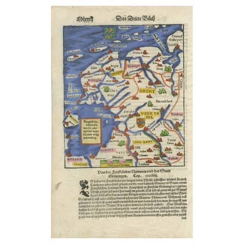
Frisia, Groningen and Overijssel – Rare Woodcut Map by Münster, c. 1550, Germany
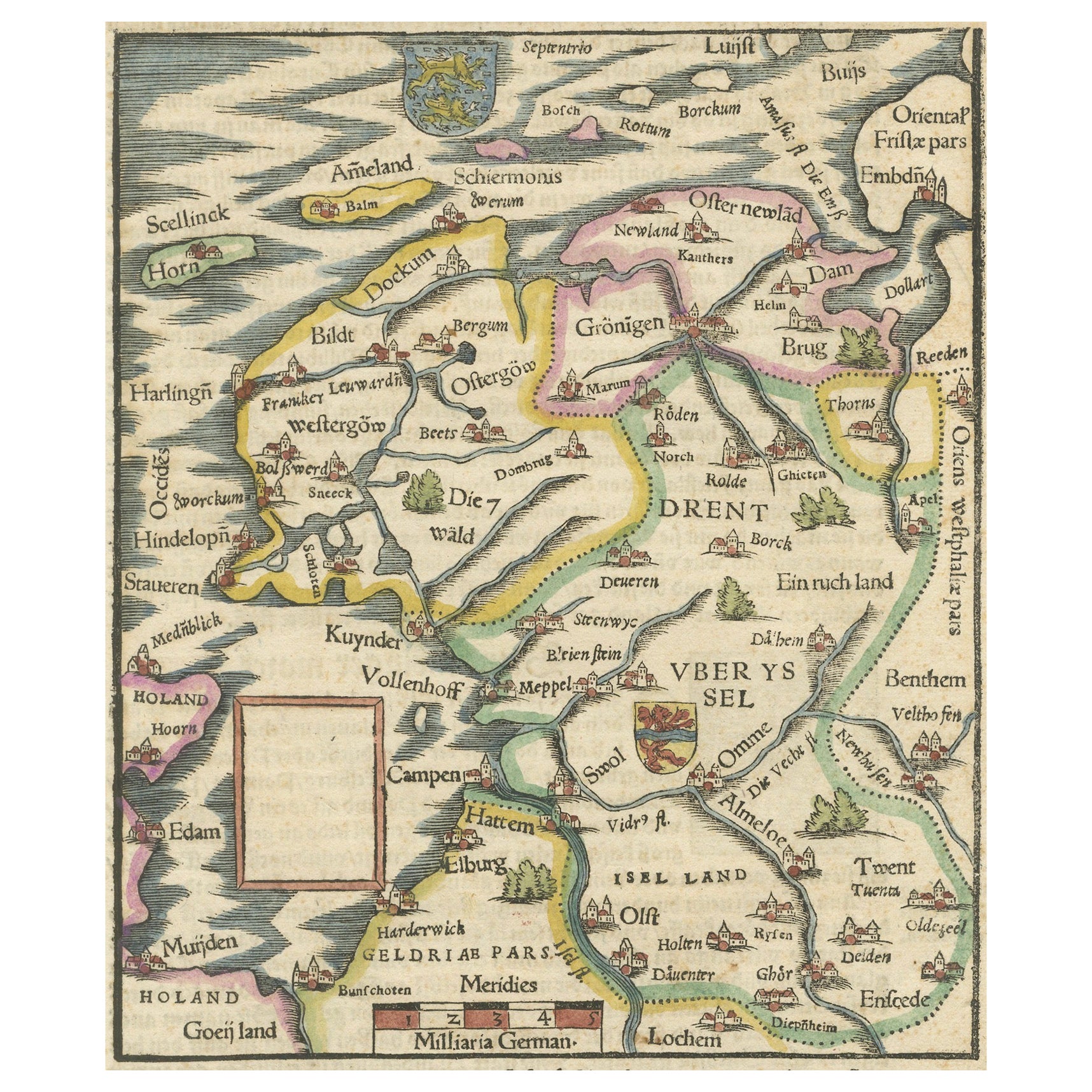
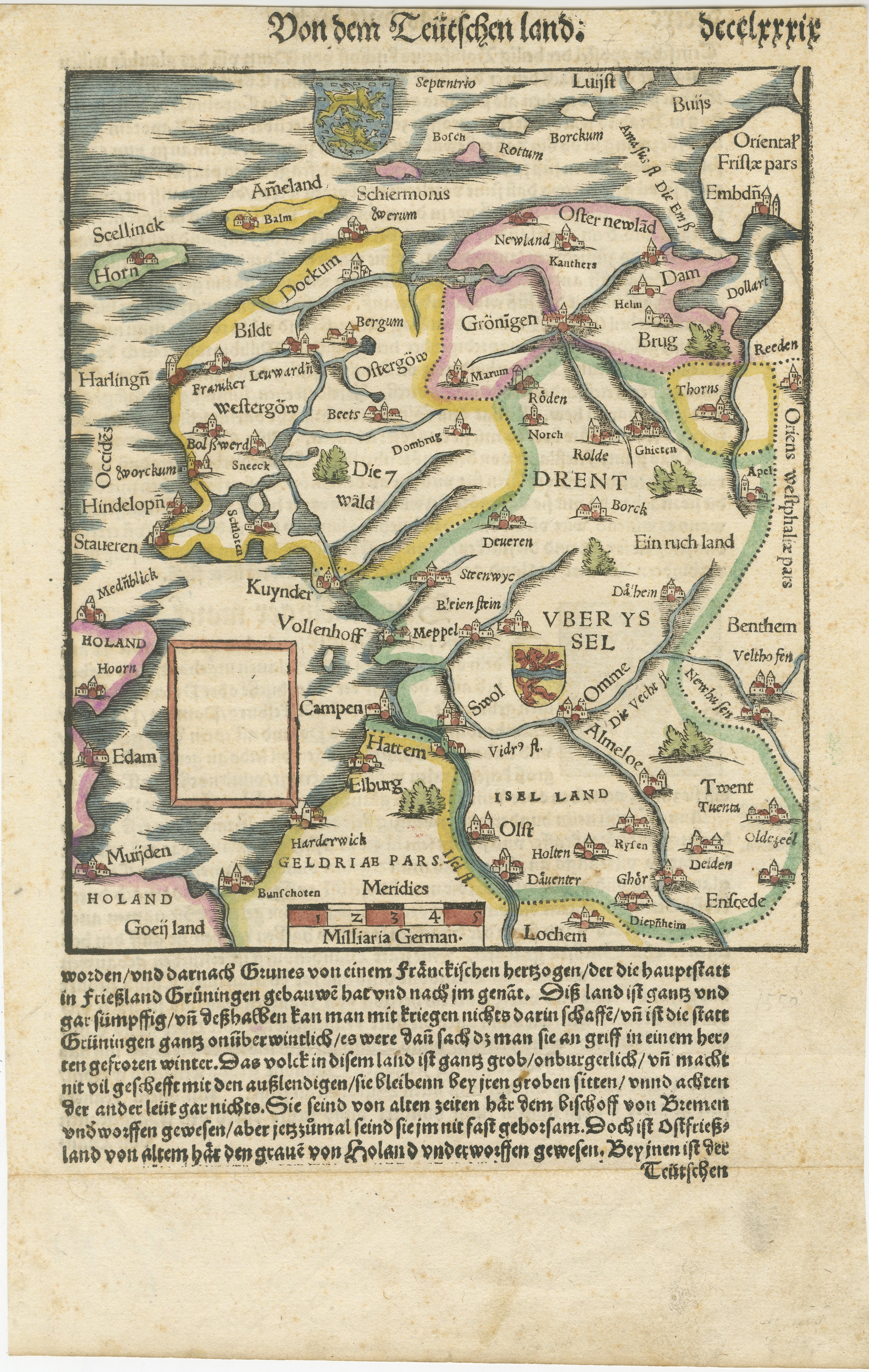
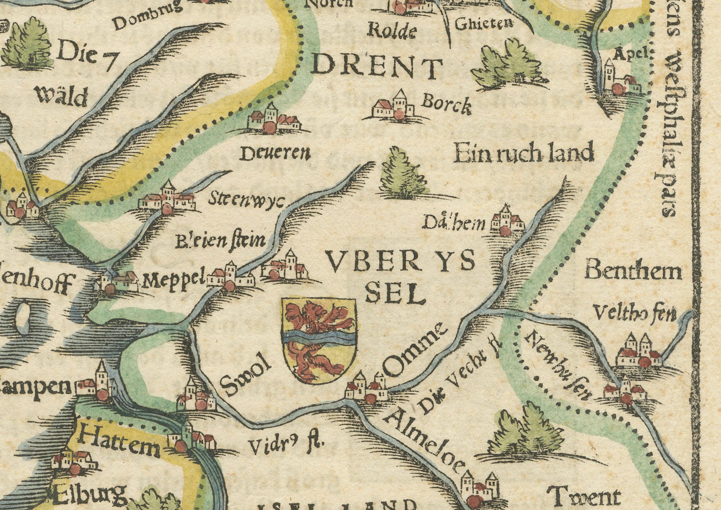
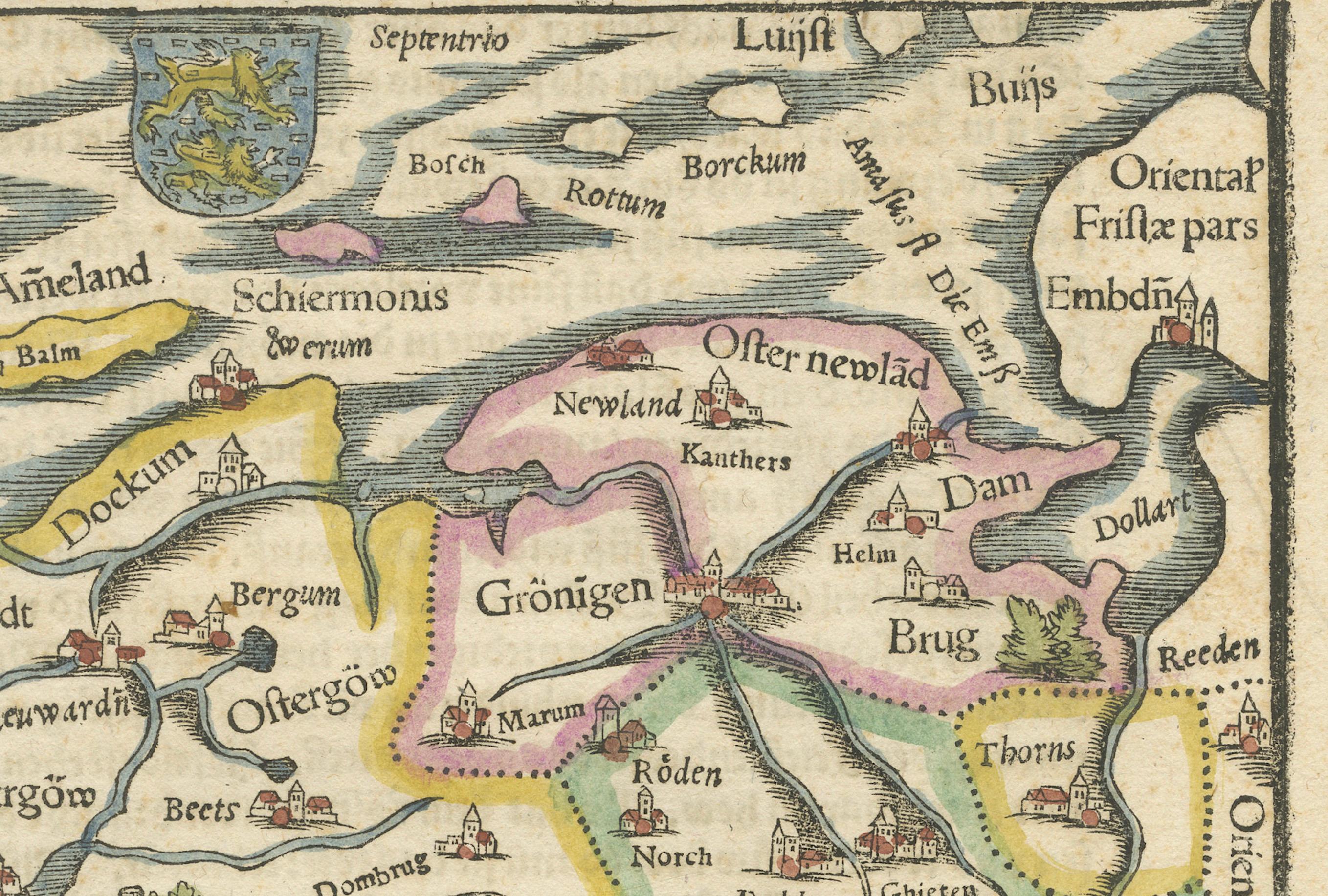
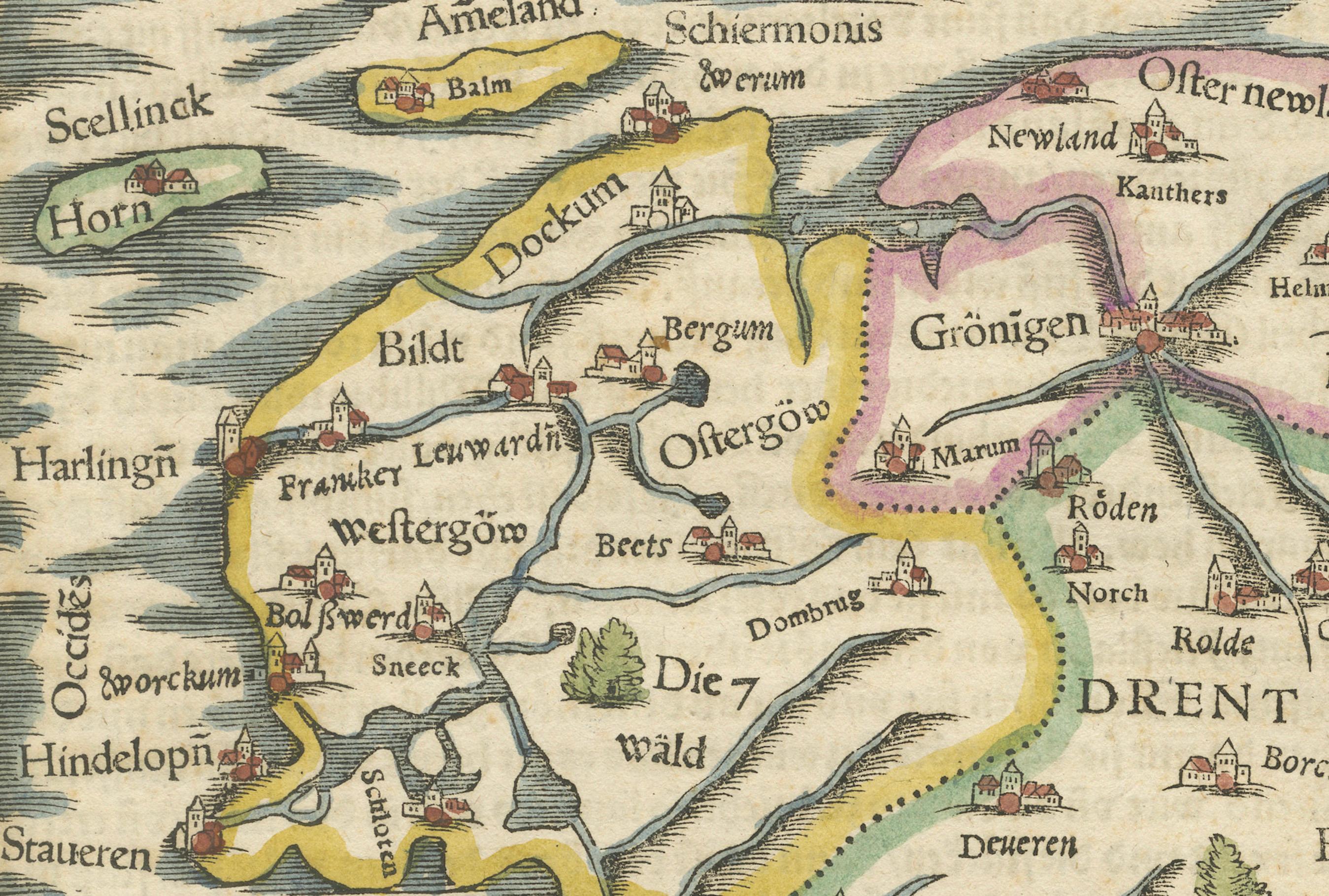
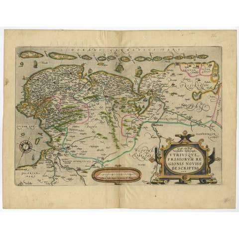
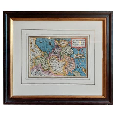
This highly decorative 16th-century woodcut map titled “Von dem Teutschen Land: Seelentfrie” was published by Sebastian Münster, one of the most important cartographers of the early modern period. Issued around 1550 in a German edition of his monumental Cosmographia, this rare and beautifully hand-colored map presents the northern provinces of the Low Countries — particularly Frisia (Friesland), Groningen, and Overijssel — during the Renaissance era.
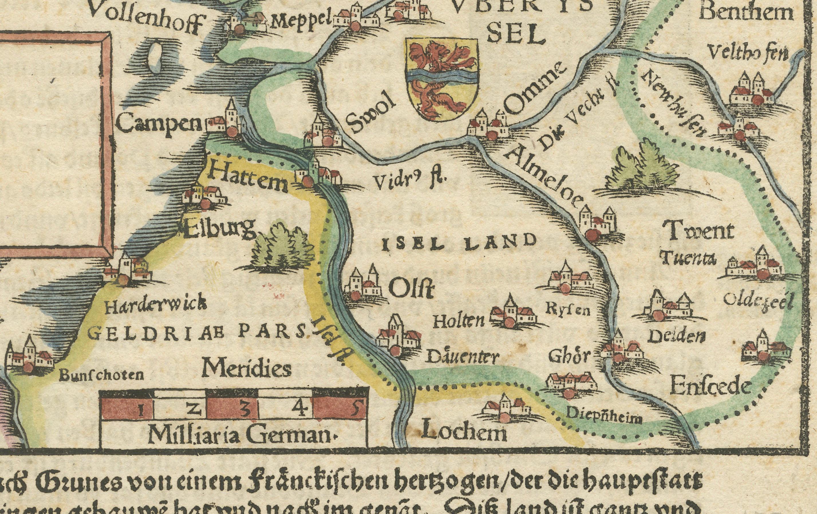
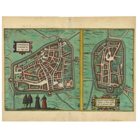
Münster’s map is full of historical charm and typographic richness. It showcases the region’s principal towns, rivers, and settlements in a highly stylized manner, with red-roofed pictorial representations of cities such as Leeuwarden (Lewwardia), Groningen, Kampen, Zwolle, Meppel, **Deventer**, Enschede, and many others. The Zuiderzeef is clearly delineated to the west, along with parts of Holland and Gelderland.
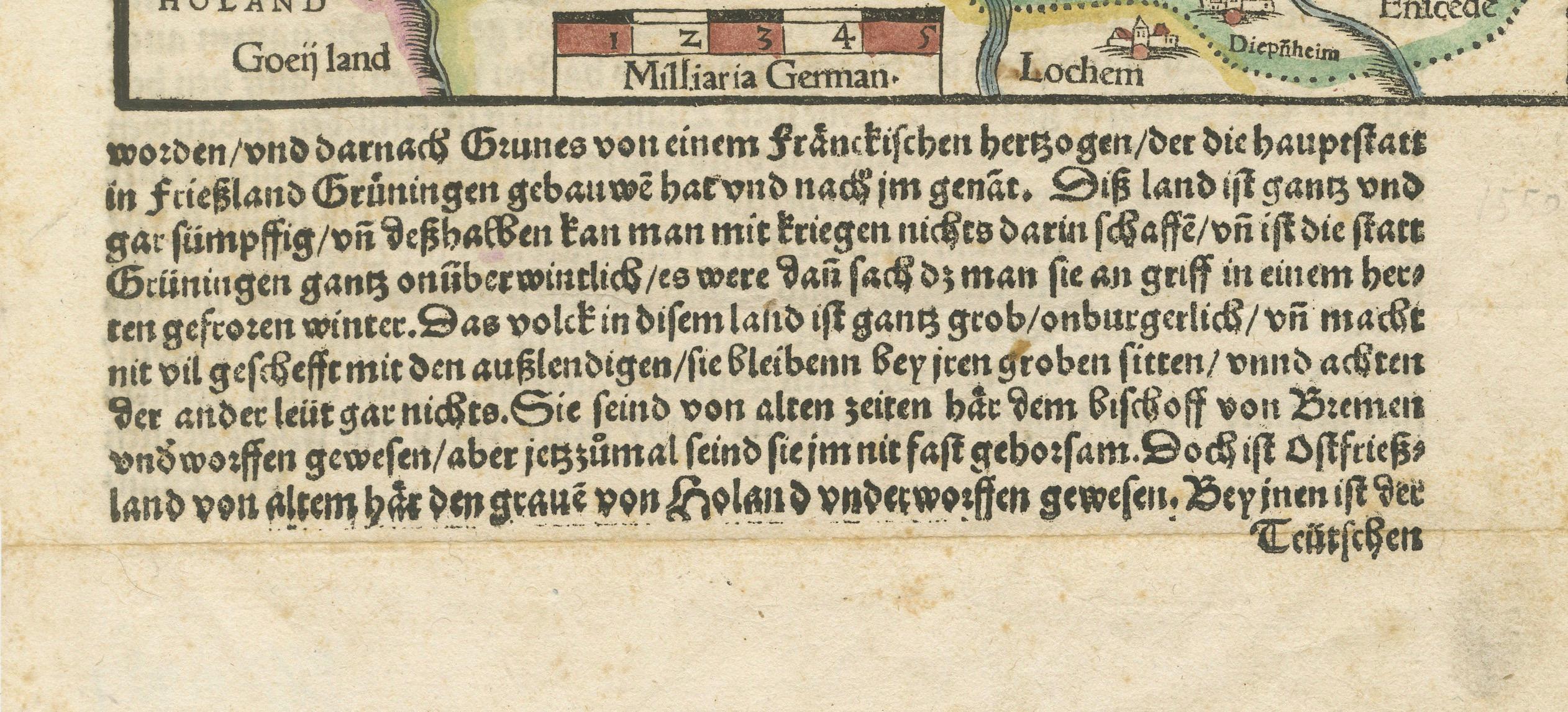
The woodcut cartography is surrounded by hand-applied watercolors in yellow, green, pink, and blue, enhancing both the topography and territorial boundaries. At the bottom of the image is a block of German Fraktur typeface, describing the customs, economy, and terrain of the region. It remarks on the harshness of the land, the robustness of the people, and its strategic but rugged nature, reflecting contemporary geopolitical concerns and ethnographic curiosity.
Münster’s Cosmographia (first published in 1544) was the most widely circulated world description of the 16th century, reprinted in over 30 editions and translated into several languages. This map stands out not only for its early depiction of northern Netherlands geography but also for its remarkable graphic style and early use of color.
Cartographer:*Sebastian Münster
Date: circa 1550
Publication: *Cosmographia Universalis* (German edition)
Technique: Woodcut with period hand-coloring
Language: German (Fraktur script)
Condition report:
Good condition for age. Clean hand-coloring, light toning, some minor margin wear. Verso with printed German text. No tears or restorations.
Framing suggestion:
Present this piece in a dark walnut or oak frame with an off-white, archival-quality mat. A float mount showing the full sheet, including the lower text block and margins, will enhance both its historical and decorative appeal.