Antique Maps of West Asia & the Holy Land
127 original sheets

Holy Land Map Palestine Homann Heirs, Hand Colored, c.1744
1744 · € 990
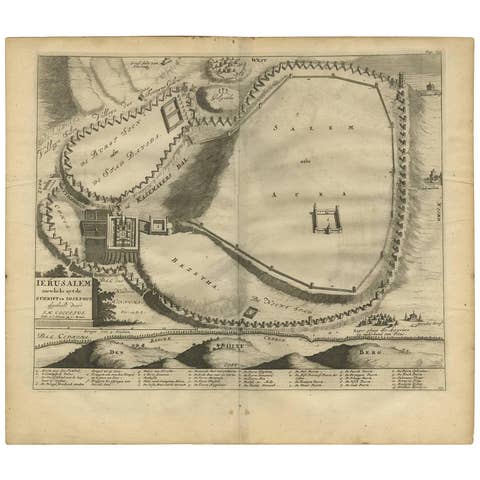
Antique Bible Plan of Jerusalem by Covens & Mortier, 1743
1743 · € 350
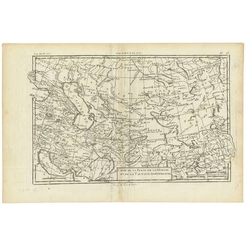
Antique Map of the Persian Gulf and Caspian Sea Region by R. Bonne, 1780
1780 · € 127
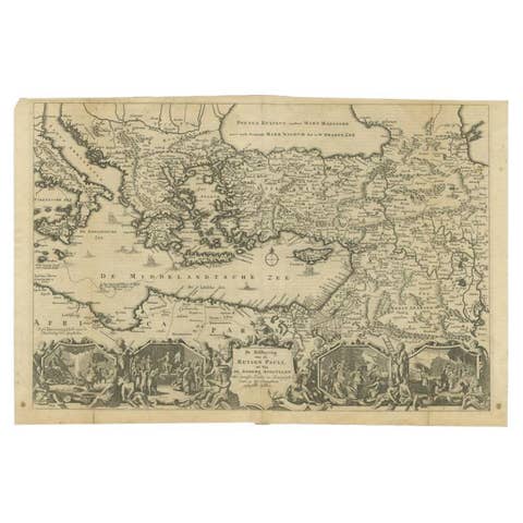
Antique Map of the Eastern Mediterranean, C.1710
1710 · € 440
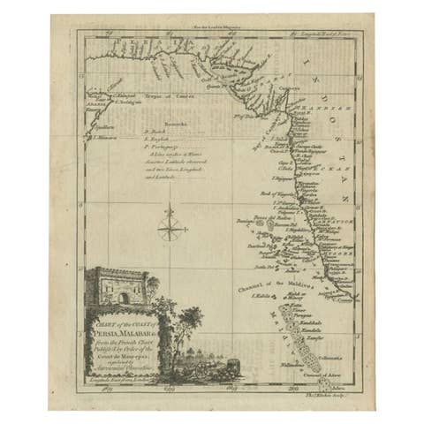
Antique Map of the Coast of Southwest Asia by Kitchin, c.1770
1770 · € 113
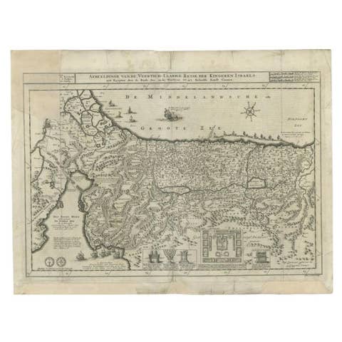
Antique Map of the Holy Land by Danckerts, c.1710
1710 · € 357
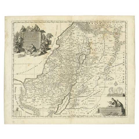
Antique Map of the Holy Land by Van Luchtenburg, c.1720
1720 · € 140
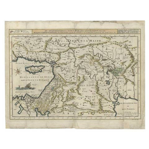
Antique Map of the Mediterranean and the Persian Gulf by Danckerts, c.1718
1718 · € 410
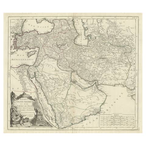
Detailed Original Antique Map of the Turkish Empire with Arabia, 1778
1778 · € 1 020
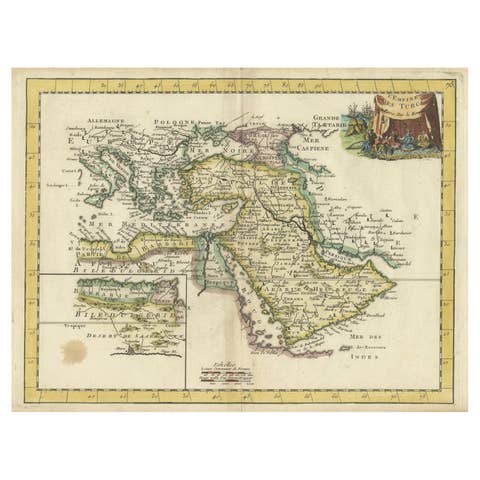
Orginal Antique Handcolored Map of the Turkish Empire, 1748
1748 · € 440
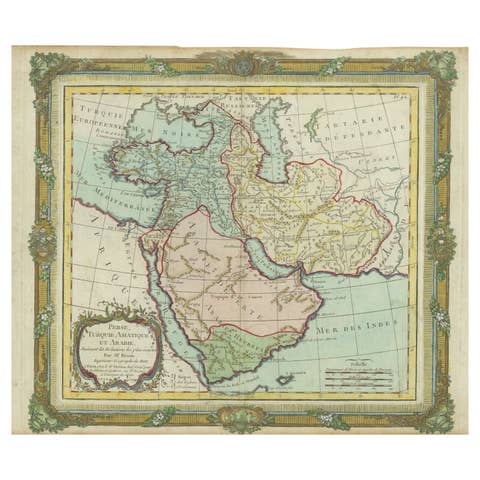
Antique Map of the Middle East with a Large Arabia, 1799
1799 · € 1 490
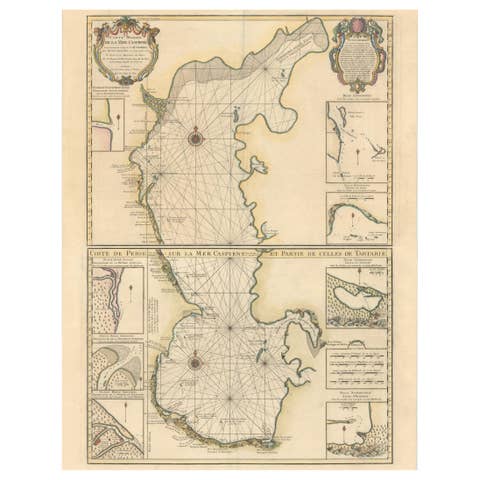
Fabulous Original Antique two-sheet Map of the Caspian Sea, ca.1723
1723 · € 2 200

Authentic Old Map of Persia with Original Border Coloring, 1745
1745 · € 440
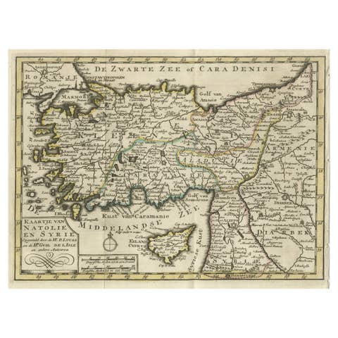
Old Map of Anatolia, part of modern-day Turkey, Armenia and Syria, 1745
1745 · € 440
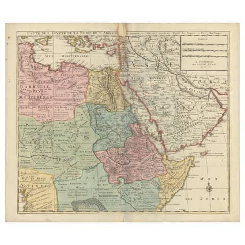
1792 Map of Eastern Africa and the Arabian Peninsula by Delisle/Elwe
1792 · € 660
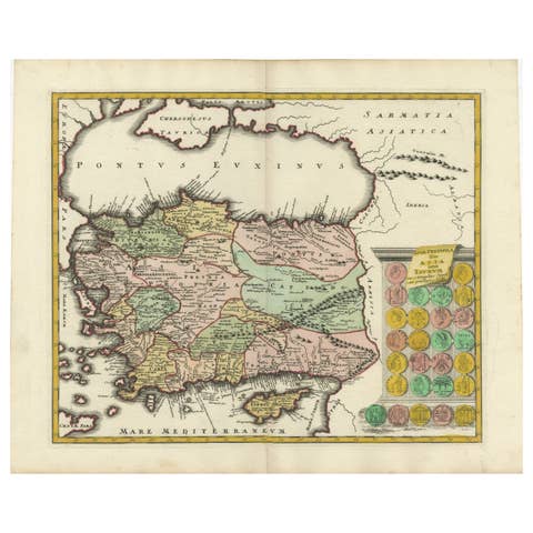
Decorative Antique Map of Cyprus and Asia Minor by Christoph Weigel, Circa 1720
1720 · € 660
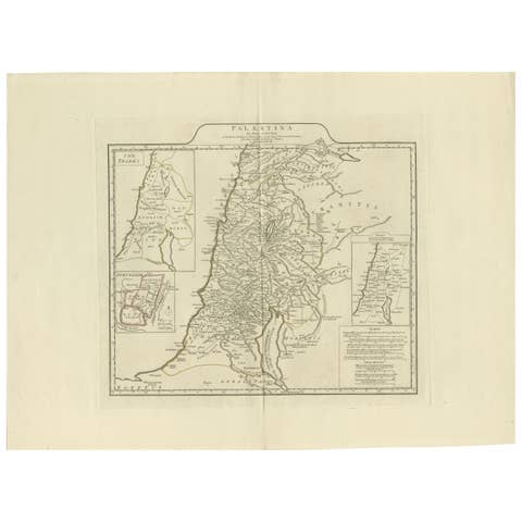
1767 D’Anville Map of the Holy Land: Ancient Divisions and Biblical Geography
1767 · € 880
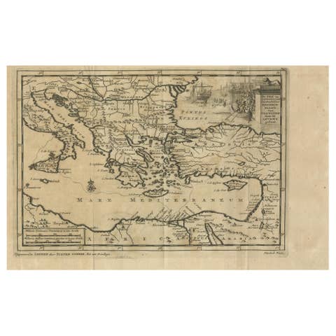
Venetian Trade Routes in the Levant – Antique Map by Pieter van der Aa, ca.1720
1720 · € 320

Hand-Colored Map of the Holy Land Divided Among the Twelve Tribes, c.1720
1720 · € 640
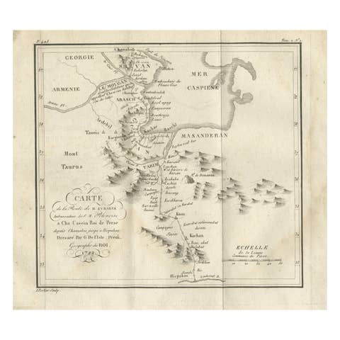
Original Antique Map of the Route of M. Zurabek – Caspian Sea to Isfahan, 1722
1722 · € 360
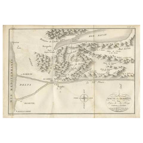
Antique Map of the Route of the Hebrews – Egypt to the Red Sea, 1720
1720 · € 460
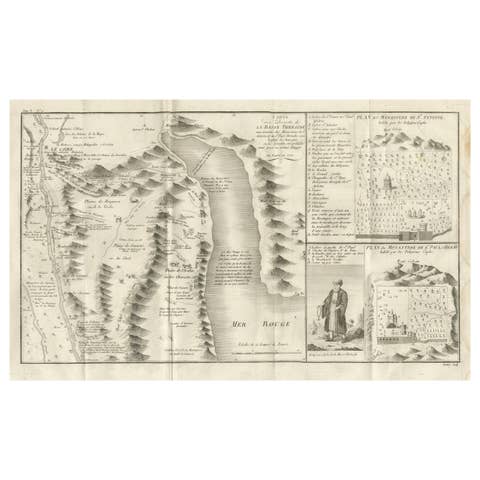
Antique Map of the Red Sea & Basse Thebaide with Monastery Plans, Egypt, 1777
1777 · € 490
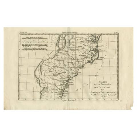
Antique Map Southern United States — Carolina & Georgia, Bonne c.1780
1780 · € 340
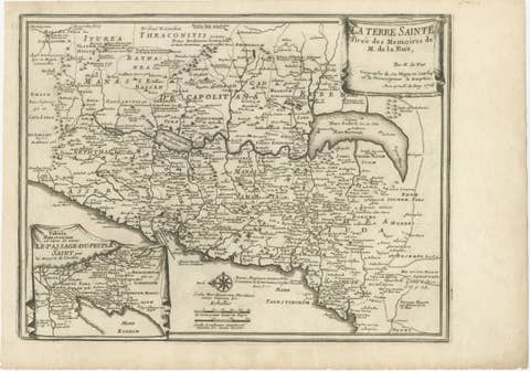
Antique Biblical Holy Land Map — Jerusalem, Palestine & Levant, De Fer 1703
1703 · € 420
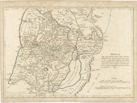
Antique Holy Land Map, Terrae Sanctae Tabula – Guillaume De L’Isle, 1782
1782 · € 490
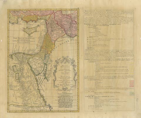
Antique Biblical Map Holy Land, David & Solomon Kingdoms – Hase 1739
1739 · € 375
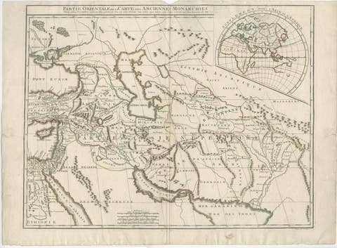
Antique Map Near East & Persia, Ancient Monarchies – Delamarche c.1795
1795 · € 535

Antique Map of Persia, Georgia and Tartary by Bonne, Central Asia, c.1780
1780 · € 430
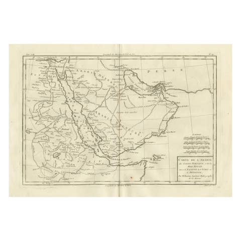
Antique Map of Arabia, Red Sea & Persian Gulf by Rigobert Bonne, 1780
1780 · € 360

Antique Map of Persia and Georgia by Rigobert Bonne, Circa 1780
1780 · € 310
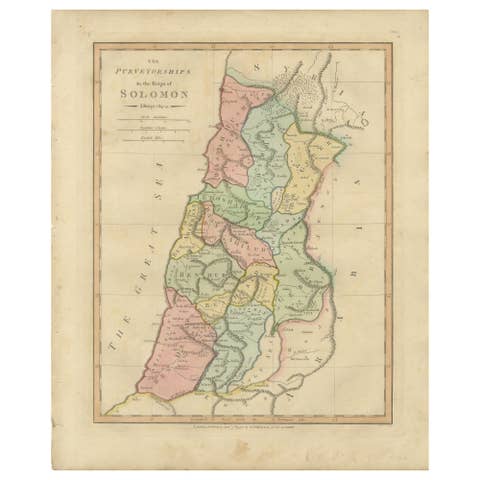
The Purveyorships in the Reign of Solomon — Biblical Map of Ancient Israel, 1798
1798 · € 310