About this sheet
Antique Biblical Holy Land Map — Jerusalem, Palestine & Levant, De Fer 1703
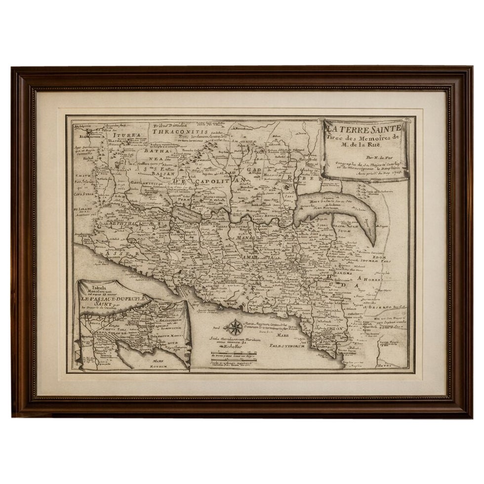
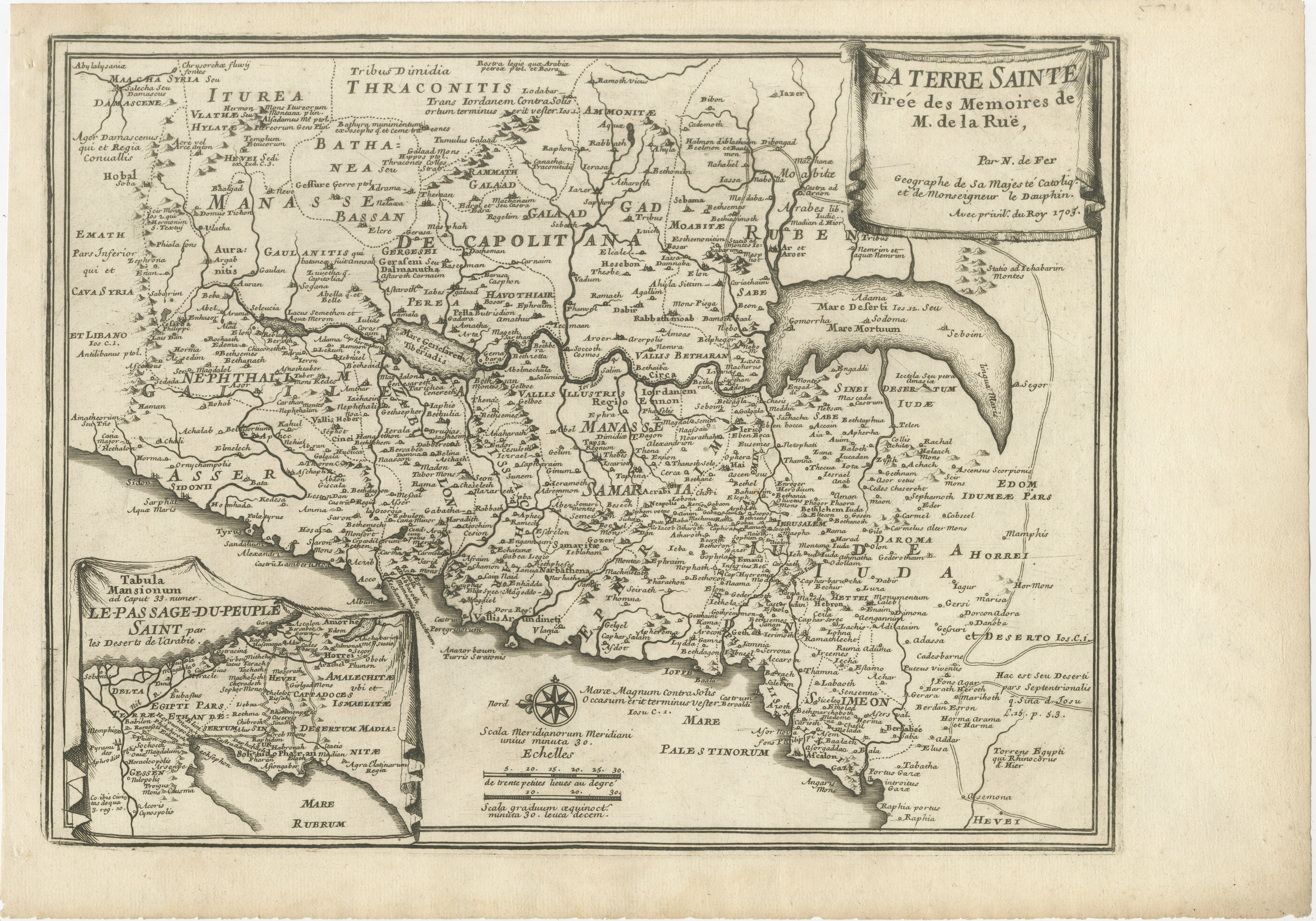
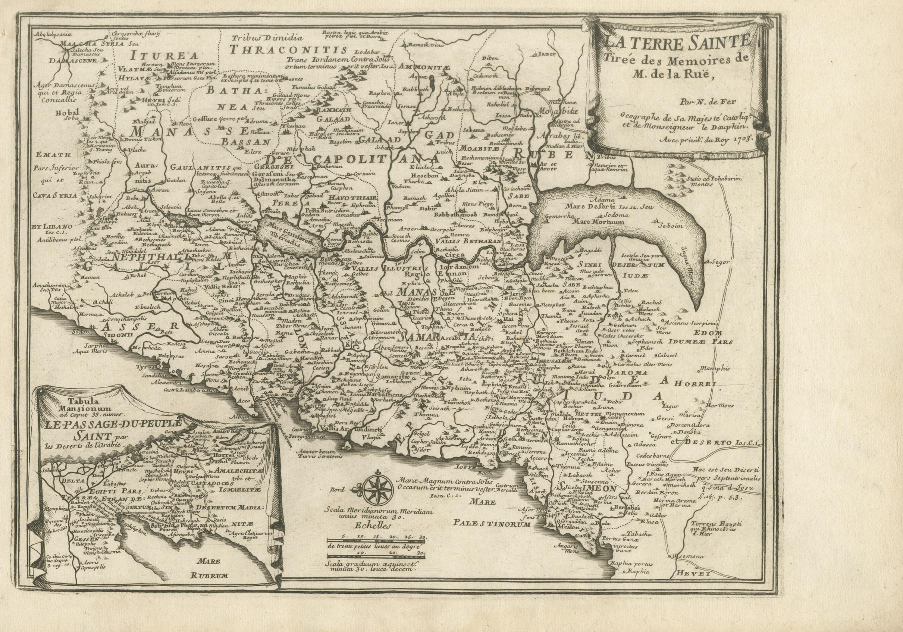
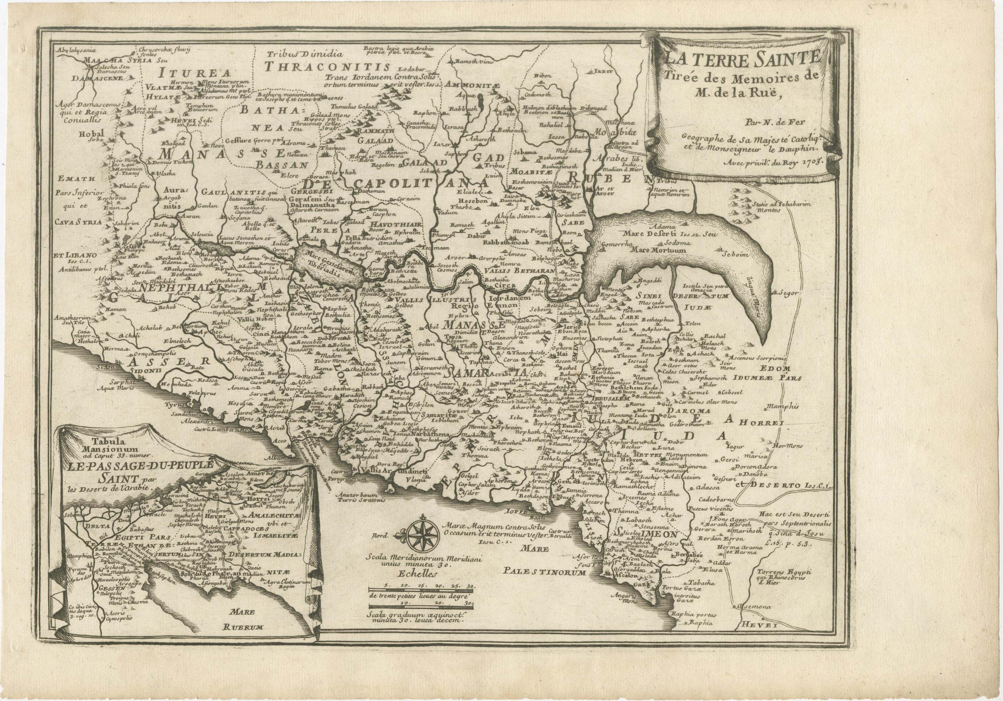
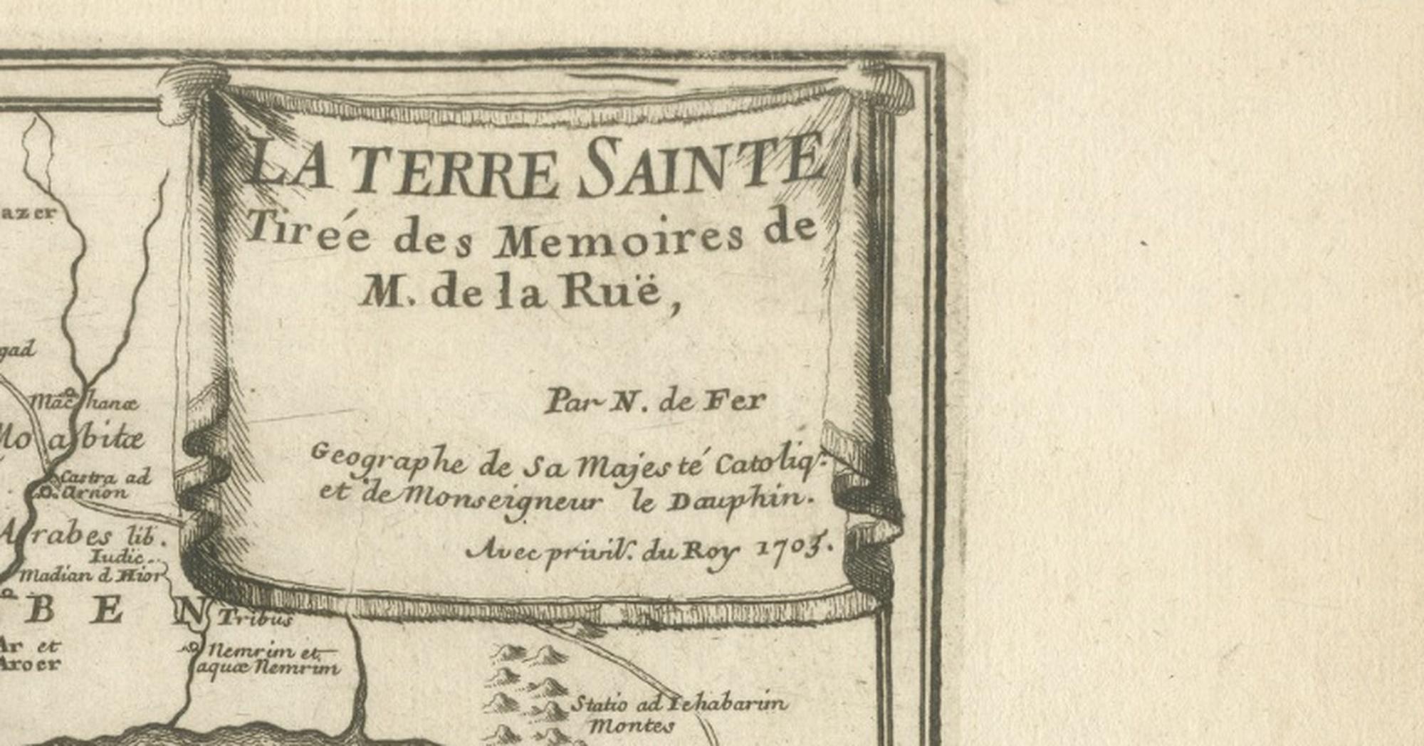
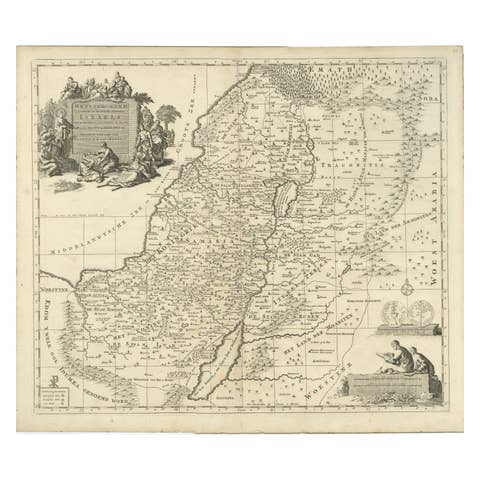
This finely engraved antique map of the Holy Land, titled “La Terre Sainte Tirée des Memoires de M. de la Ruë,” was published in Paris in 1703 by the celebrated French cartographer Nicolas de Fer, Geographe de Sa Majesté Catholique et de Monseigneur le Dauphin. De Fer was one of the most influential map publishers of late seventeenth- and early eighteenth-century France, known for producing highly detailed and historically informed maps that blended geographic knowledge with historical and biblical scholarship.
The map is offered unframed, giving flexibility to select a frame that best suits the intended interior.
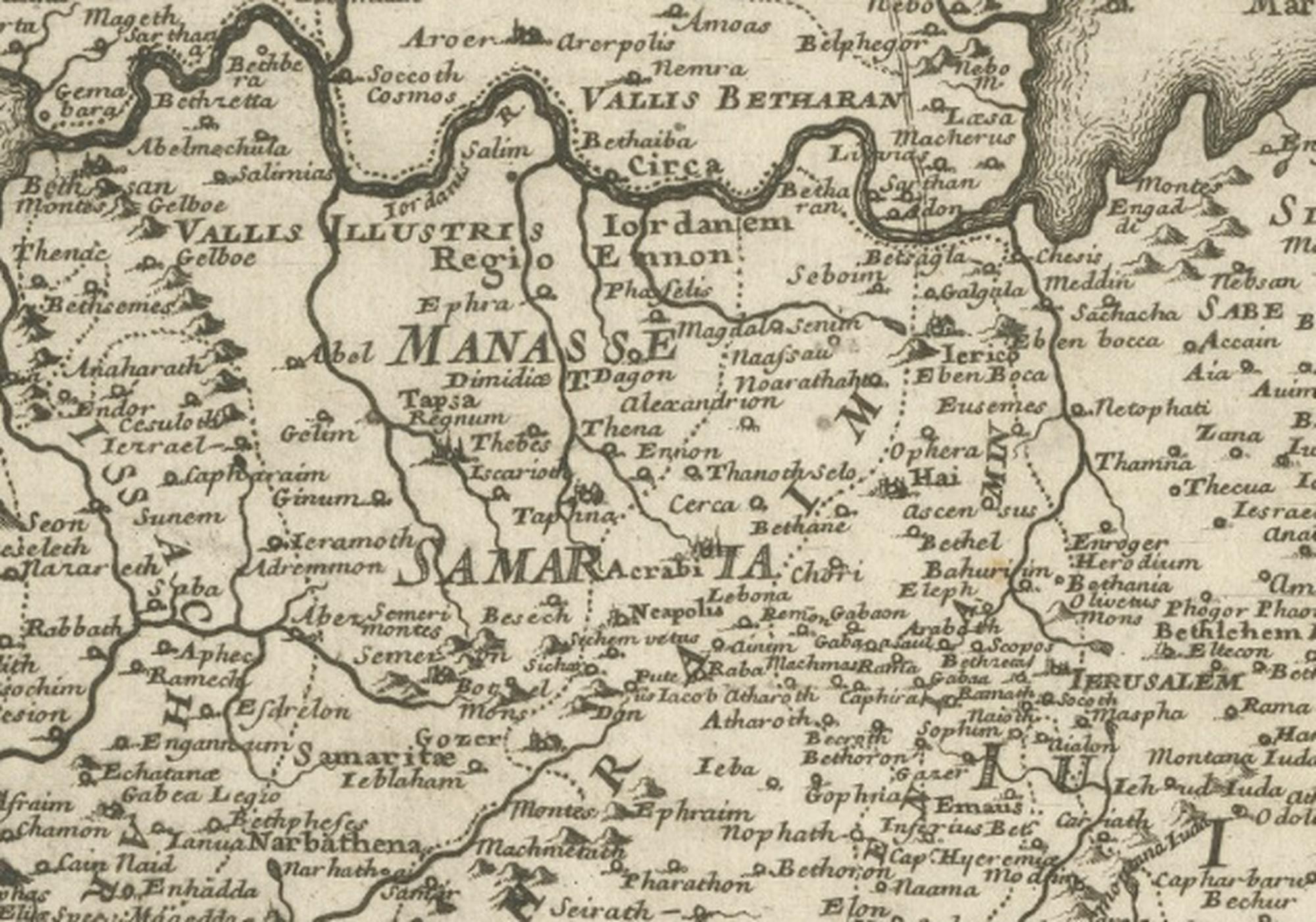
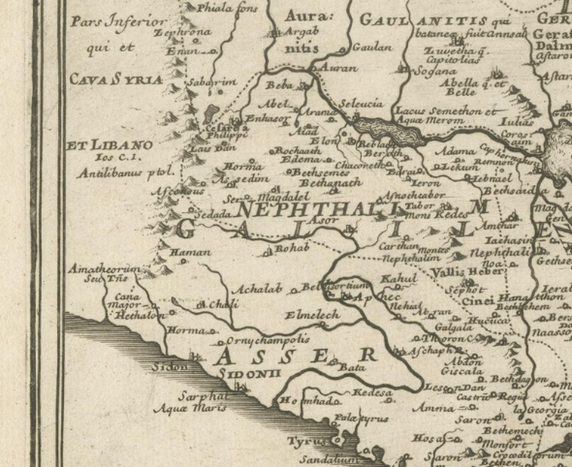
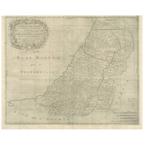
The map presents a detailed representation of Palestine and the surrounding Levant, including regions corresponding to modern Israel, Jordan, Lebanon, and parts of Syria and Egypt. It emphasizes biblical geography, identifying ancient tribal territories, cities, and historically significant sites associated with scriptural narratives. Jerusalem occupies a central position, surrounded by carefully engraved place names that reflect both classical and biblical traditions. The Dead Sea, Jordan River, and Mediterranean coastline are rendered with clarity, reinforcing the cartographic focus on sacred landscapes.
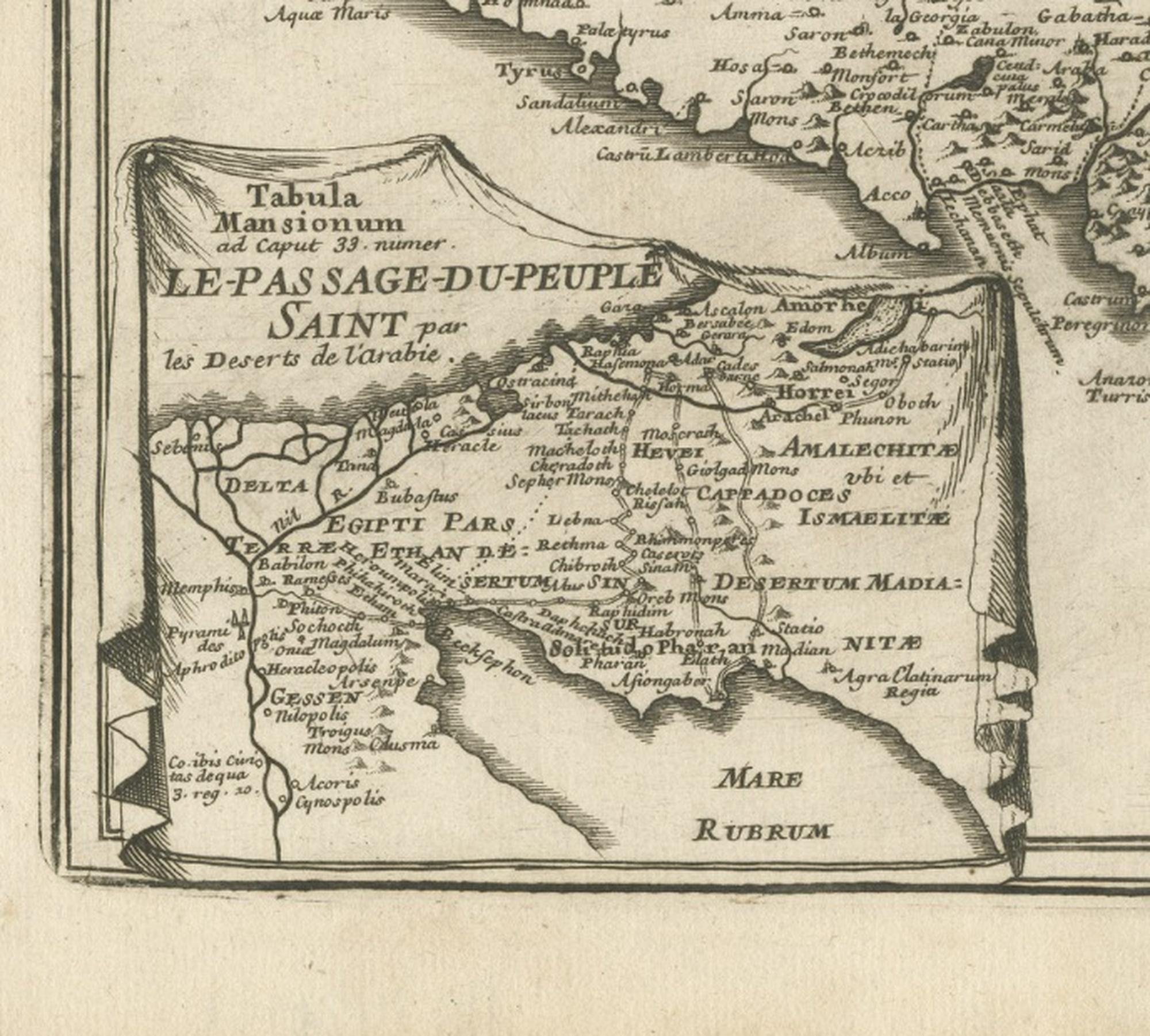
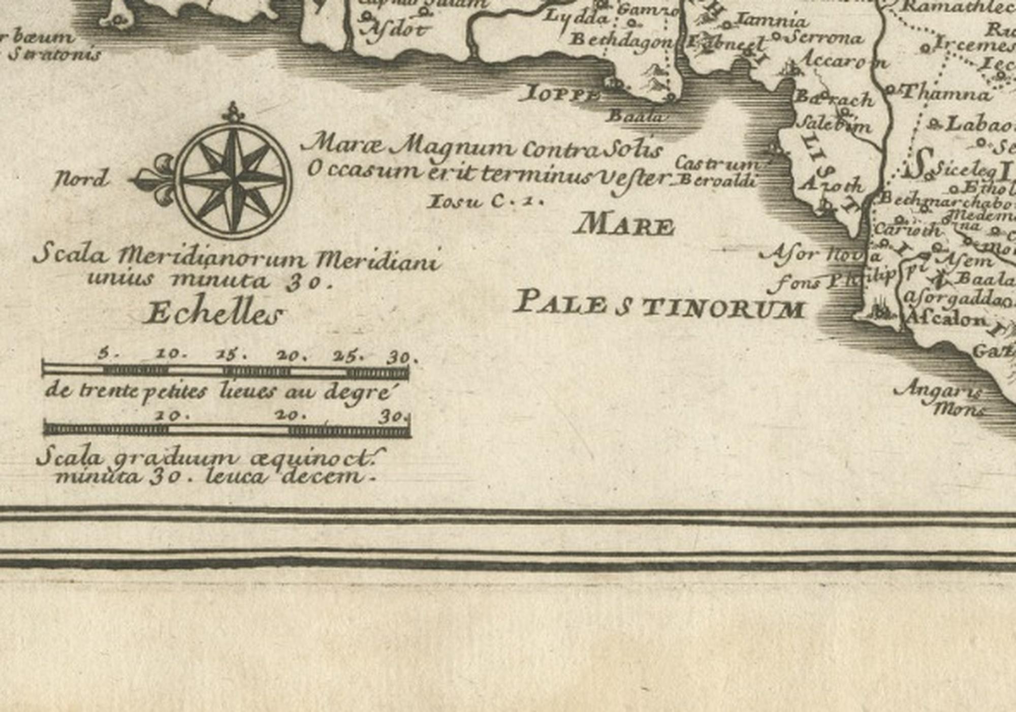
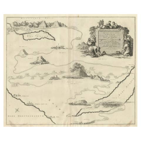
A distinctive feature of this example is the inset map at lower left illustrating the “Le Passage du Peuple Saint,” referencing the biblical Exodus narrative and highlighting the broader historical and theological context. The engraved title cartouche in the upper right adds a refined decorative element, while the compass rose and scales at the bottom demonstrate the technical precision characteristic of De Fer’s workshop.
Maps of the Holy Land were among the most sought-after cartographic subjects in early modern Europe, serving scholars, clergy, collectors, and travelers interested in biblical history. Today, they remain highly collectible for their historical significance, decorative appeal, and enduring cultural resonance. The horizontal format and balanced composition make this example particularly suitable for framing, either as a standalone focal piece or within a curated wall of antique maps.
Condition report: Light age toning and minor foxing consistent with age. Margins show gentle handling wear. Strong impression with clear engraving and legible text. Plate mark visible.
Framing tips: A dark walnut or ebonized frame with a generous ivory mat enhances the refined engraving and complements both classic and contemporary interiors. Museum-style framing works especially well to highlight the detailed cartouche and inset map. We sell the map unframed.
Technique: Copperplate engraving
Maker: Nicolas de Fer, Paris, France, dated 1703
Keywords: Nicolas de Fer map, Terre Sainte map, Holy Land antique map, Palestine antique map, Jerusalem antique map, biblical geography map, Levant antique map, Dead Sea map, Jordan River map, Exodus map inset, French cartography 1703, Paris map publisher, sacred geography, antique biblical map, early modern cartography, collectors antique maps, decorative antique map, historical Palestine map, Middle East antique map, religious cartography, old world map engraving, library wall art antique map