About this sheet
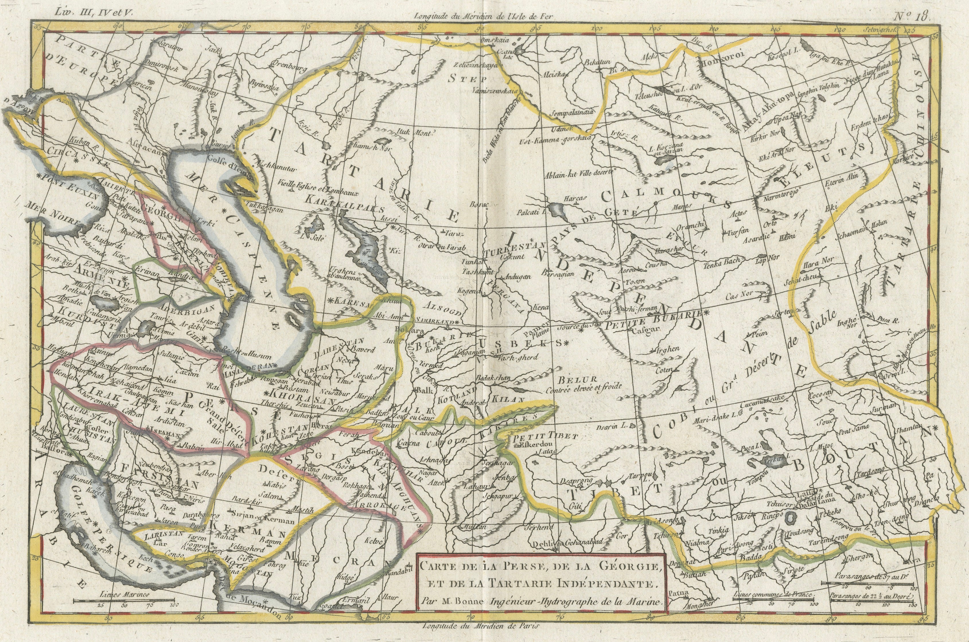
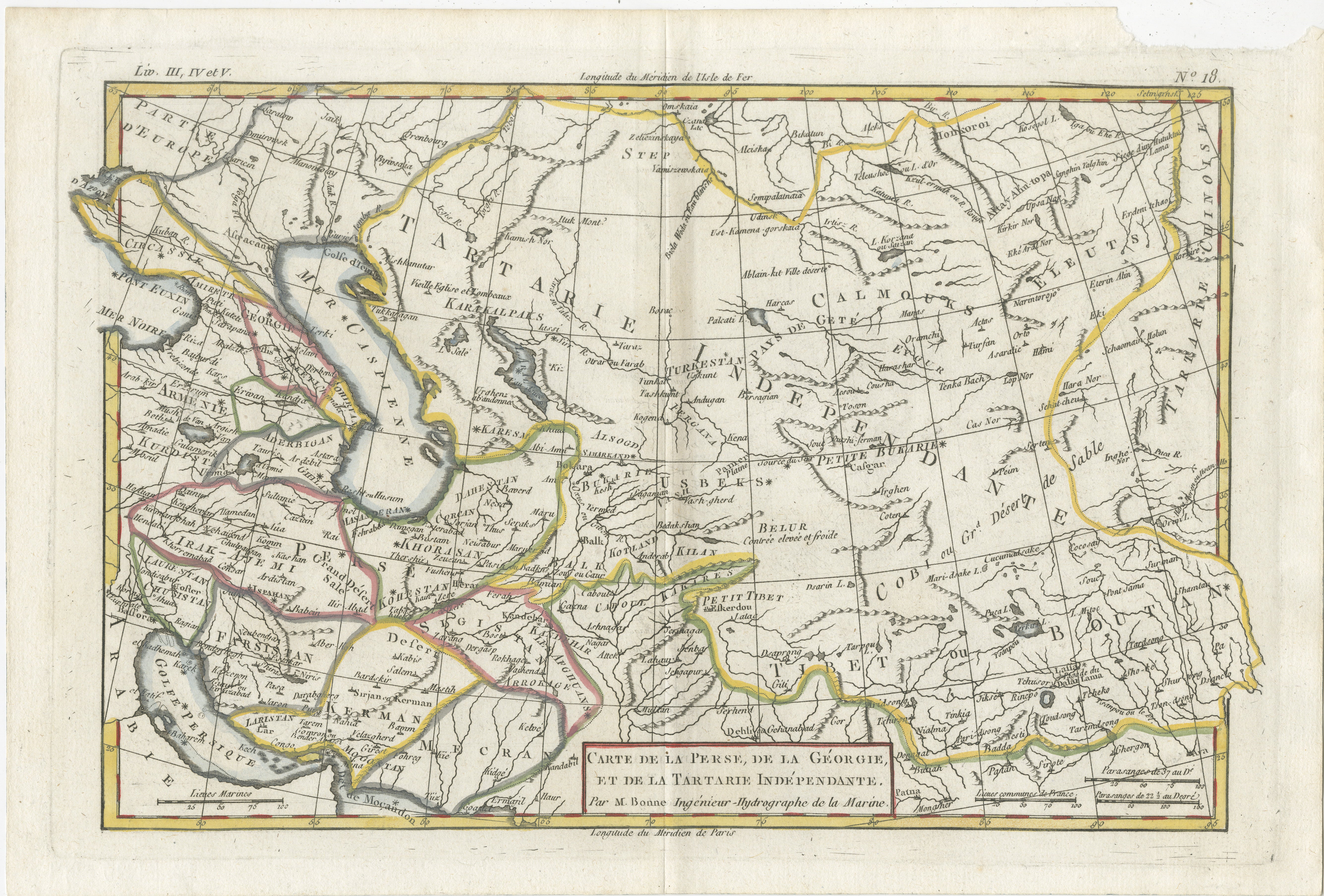
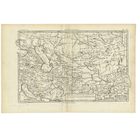
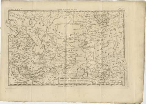
Antique Map of Persia, Georgia and Tartary by Bonne, Central Asia, c.1780
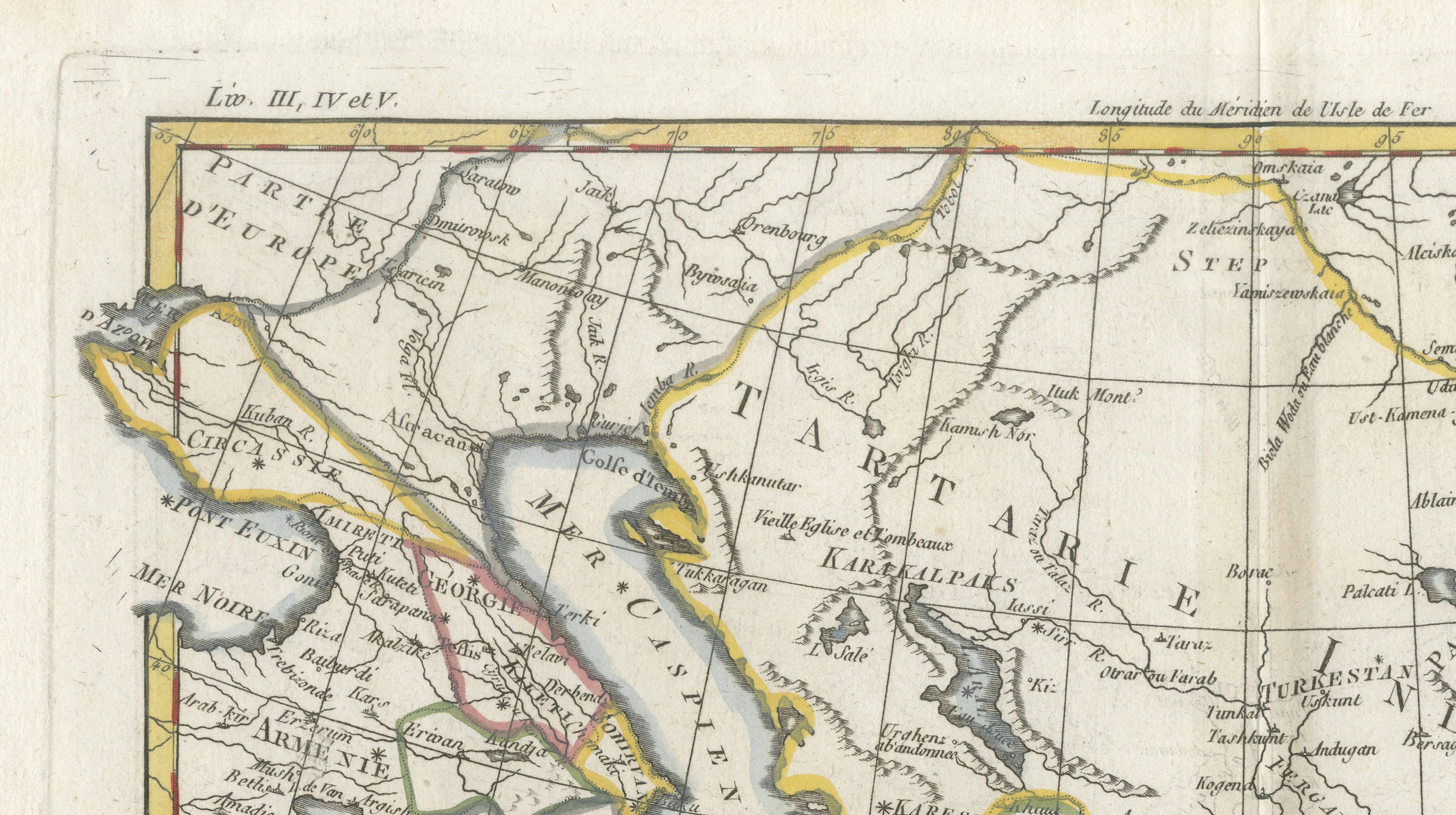
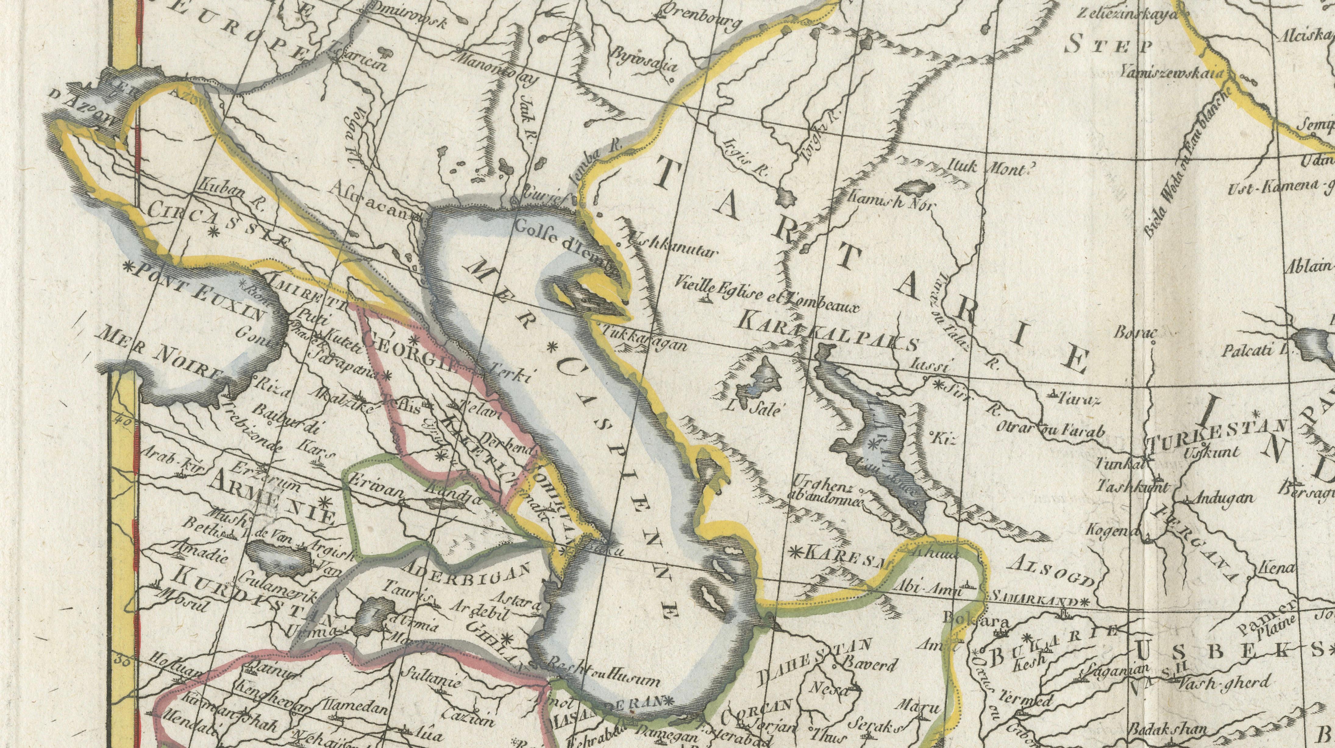
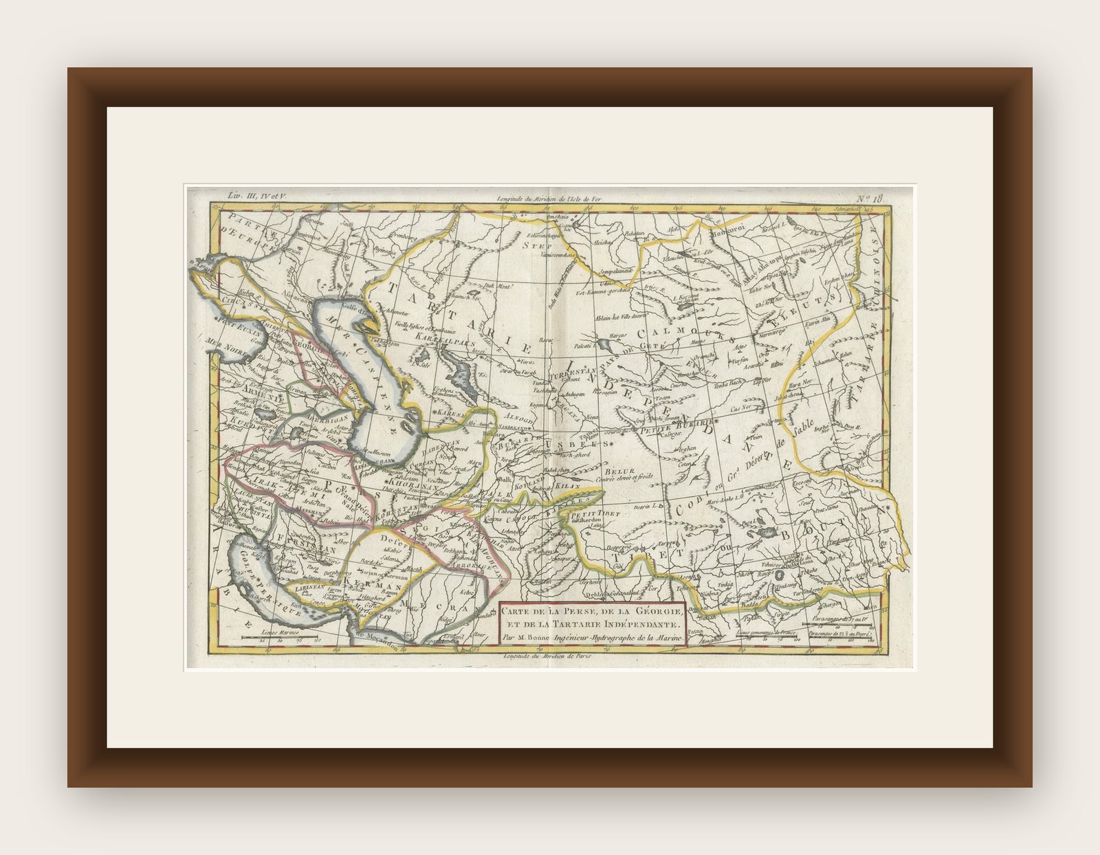
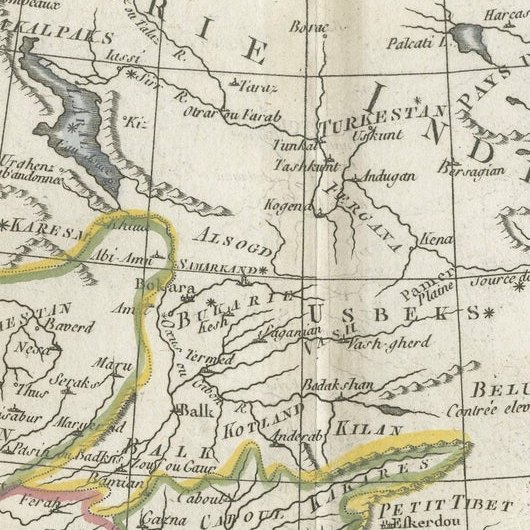
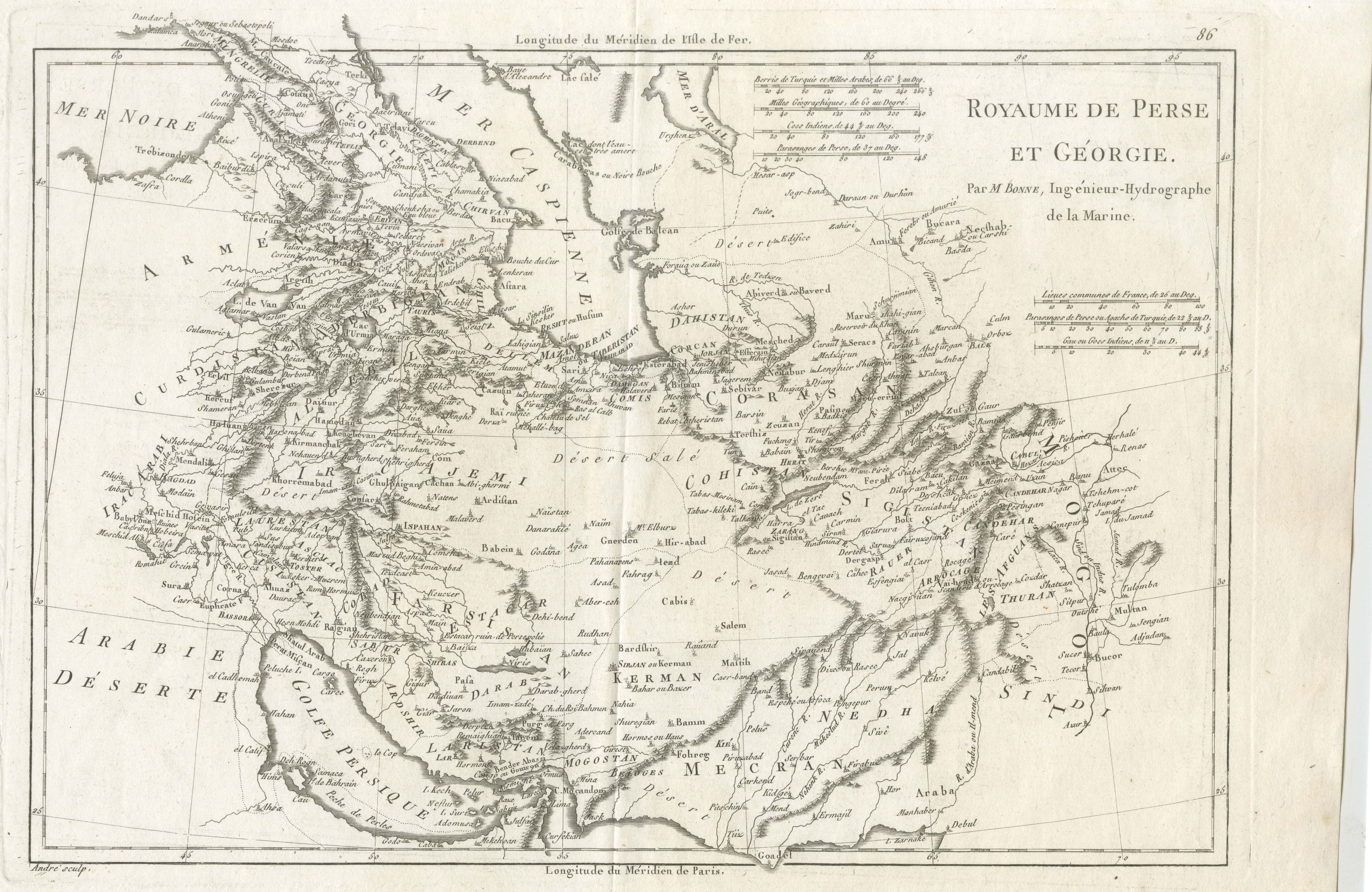
A finely engraved and historically significant map titled “Carte de la Perse, de la Georgie, et de la Tartarie Independante”, created by the eminent French cartographer Rigobert Bonne and published circa 1780. This map was issued as part of Guillaume Raynal’s Atlas de toutes les parties connues du Globe Terrestre, one of the most influential geographical works of the late 18th century.
The composition presents an expansive view of Central and Western Asia, encompassing Persia (modern Iran), Georgia, Afghanistan, and the vast regions historically referred to as “Independent Tartary,” including parts of present-day Kazakhstan, Uzbekistan, Turkmenistan, and western China. It reflects European understanding of Asia during the Enlightenment, at a time when large portions of the region remained only partially explored.
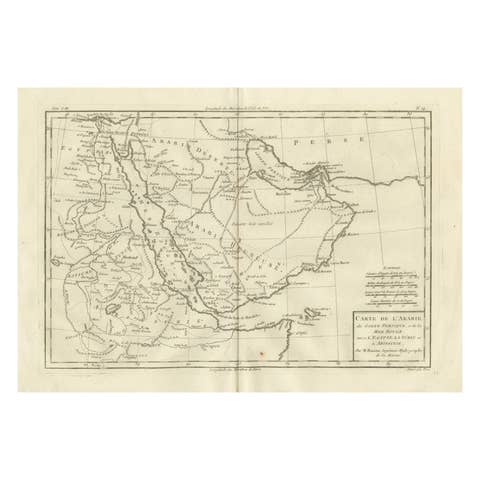
Rigobert Bonne (1727–1795), Hydrographer to the French Navy, is widely regarded as one of the leading scientific cartographers of his era. His maps marked a decisive shift away from the ornate, decorative traditions of earlier cartography toward a more precise and data-driven approach. This example demonstrates that transition clearly, combining clean engraving with subtle original hand coloring to delineate political and geographic boundaries.
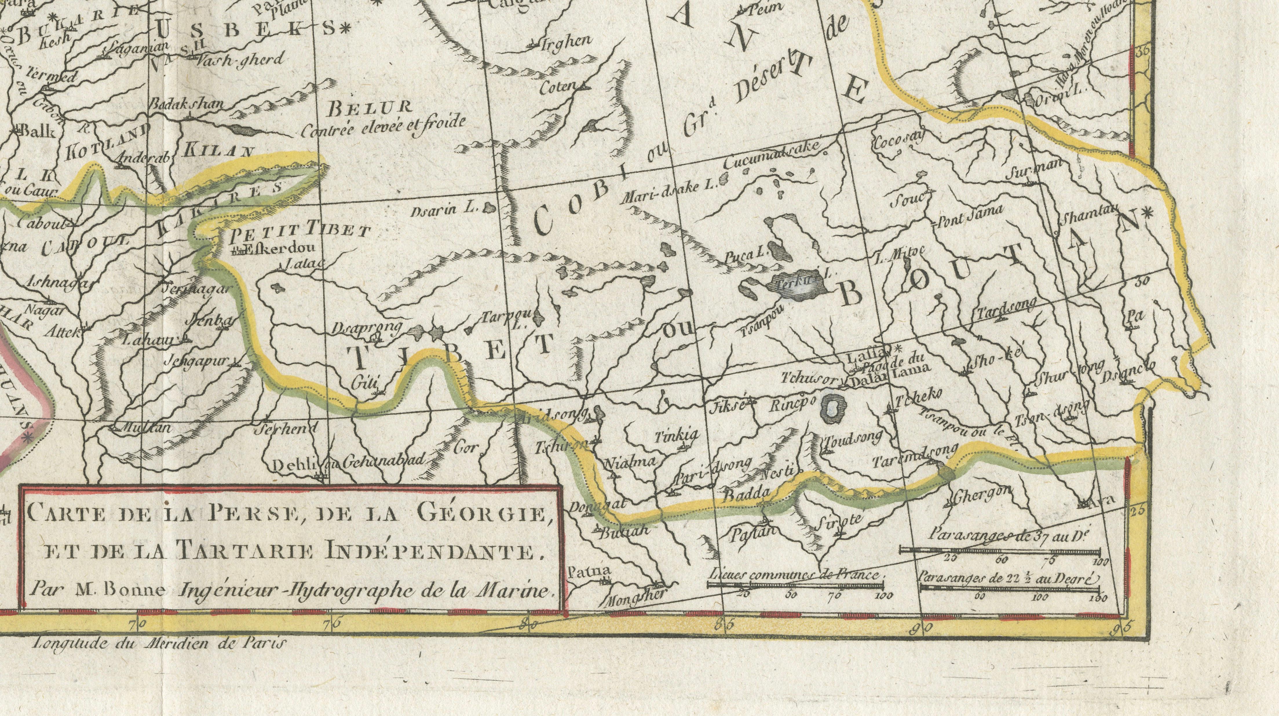
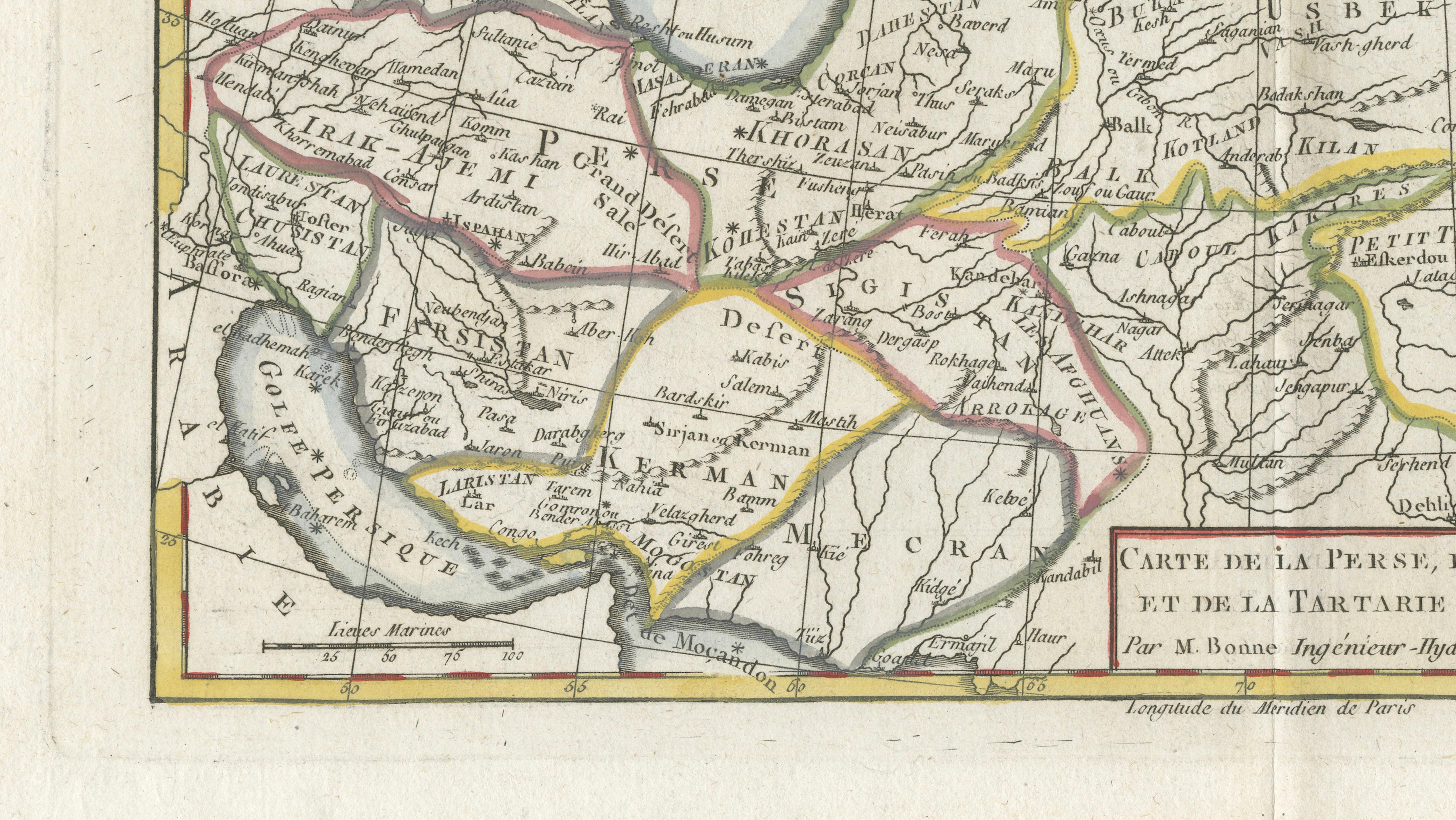
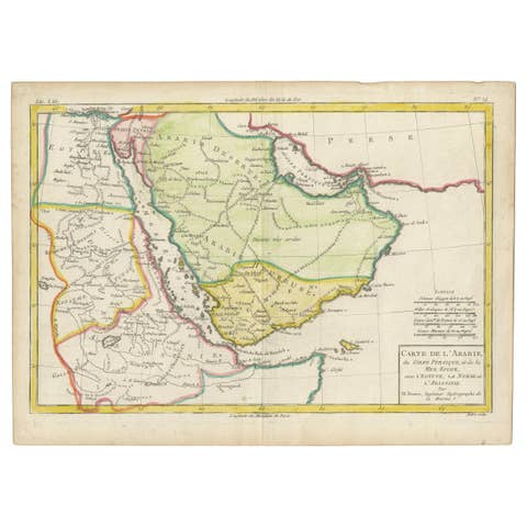
The map is rich in geographic detail, showing mountain ranges, river systems, trade routes, and settlements across a vast and complex terrain. Regions such as Khorasan, Tibet, and the Caspian basin are clearly identified, offering insight into how Central Asia was conceptualized in the 18th century. The restrained yet elegant coloring enhances readability while maintaining a refined aesthetic, making the map both intellectually engaging and visually appealing.
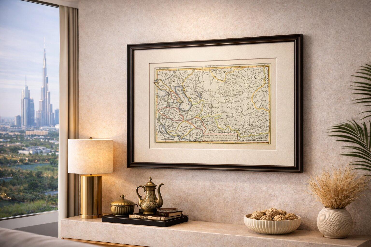
Its wide horizontal format and balanced composition make it particularly suitable as a statement piece, whether displayed on its own or as part of a curated wall of early maps of the Middle East and Asia.
This piece is highly desirable for collectors of 18th-century cartography, exploration history, and early European interpretations of Asia, and works beautifully in both classic and contemporary interiors.
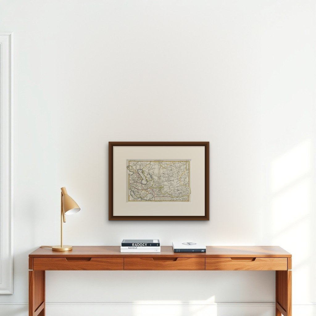
This is an original 18th-century engraving, not a reproduction. The print is sold unframed; any framed images are shown for presentation and interior inspiration only and not always on scale in the visual presentation.
Framing tips: Best presented in a dark walnut or ebonized frame with a wide ivory mat. Its horizontal format lends itself well to display above a desk, console, or sofa, particularly with subtle directional lighting to emphasize the fine engraving.