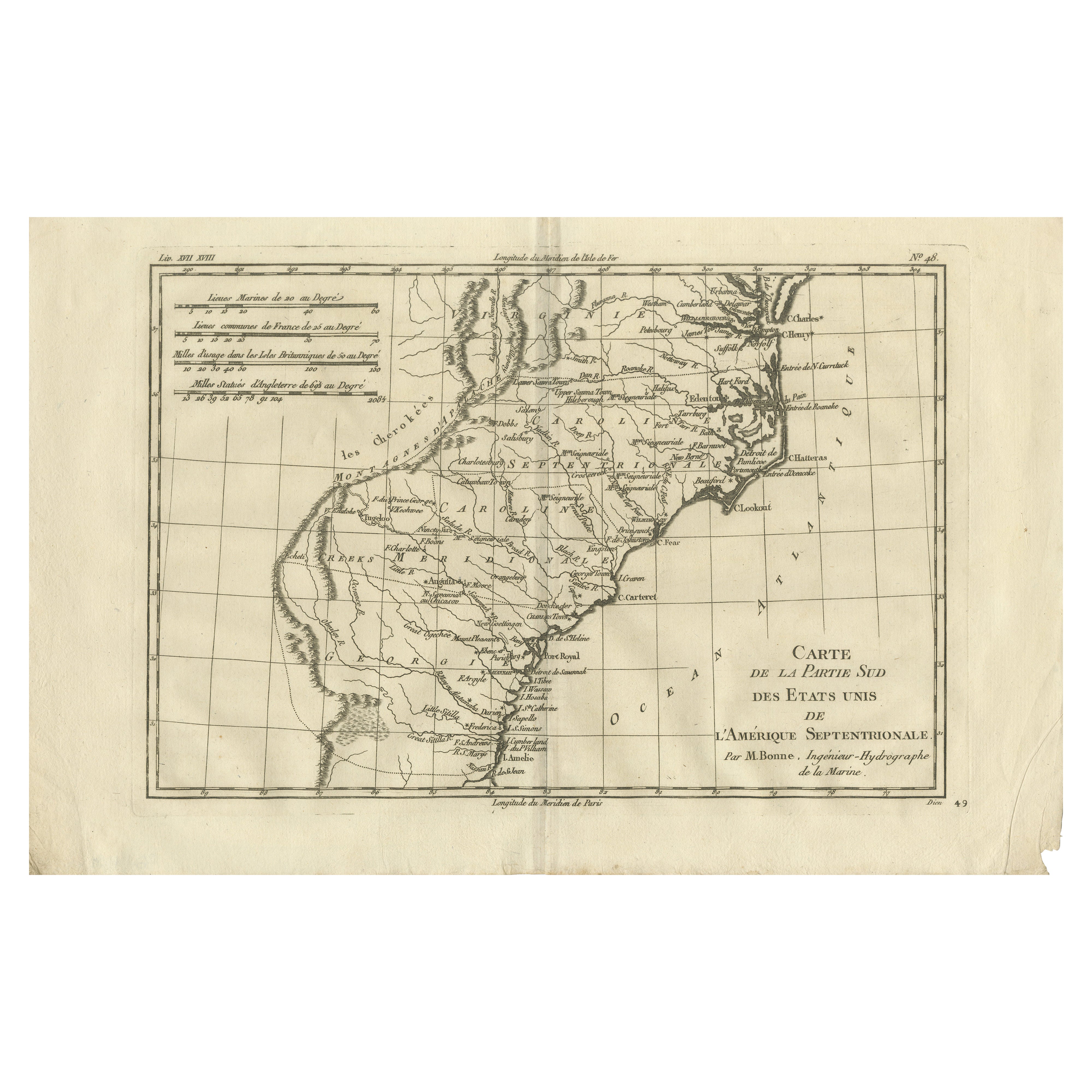
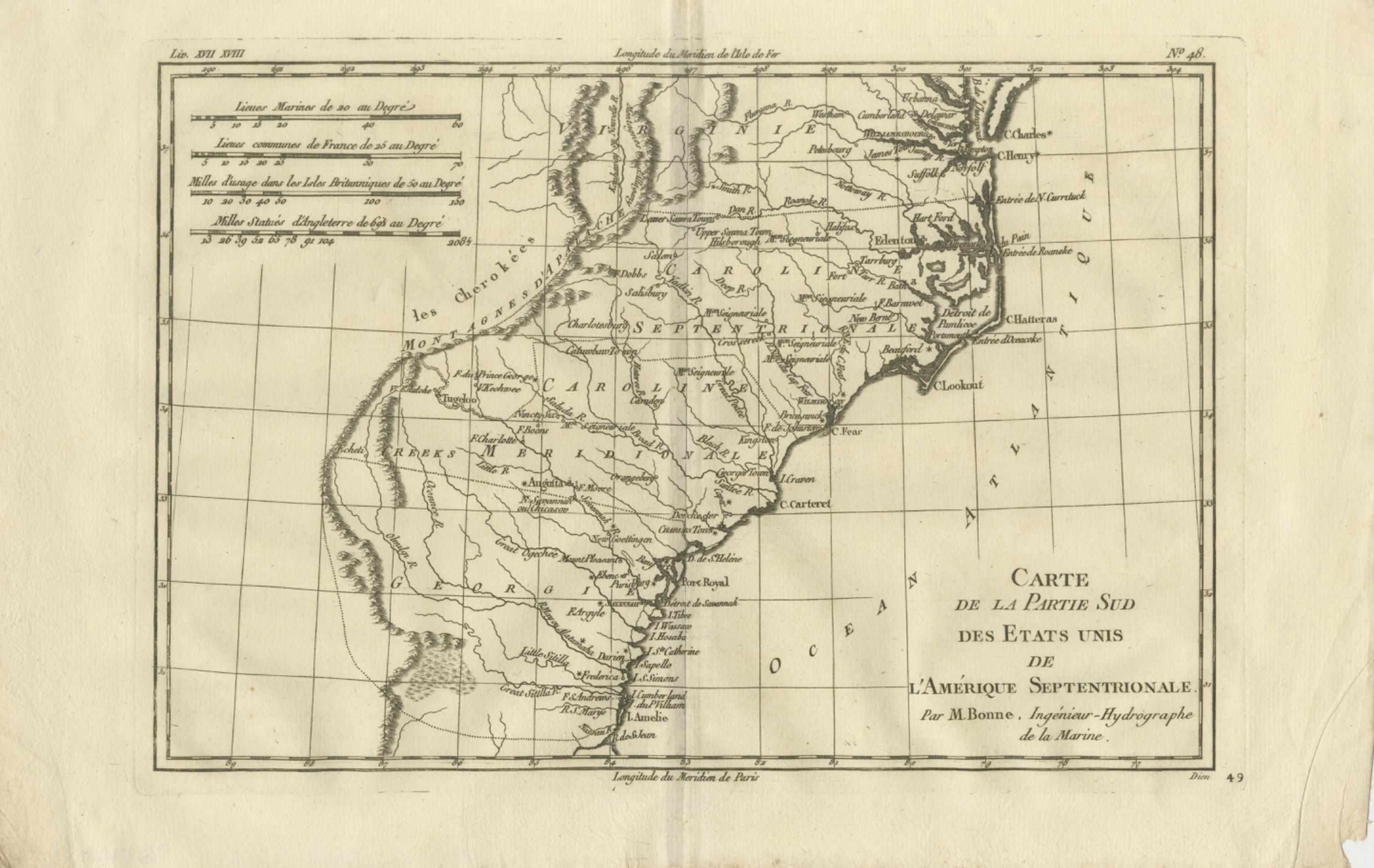
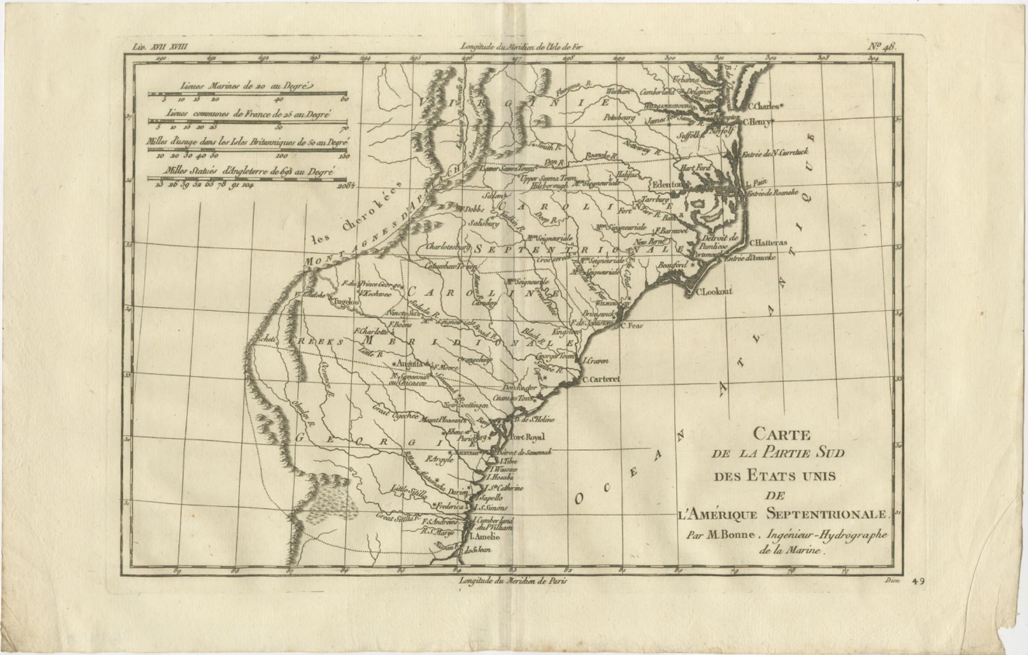
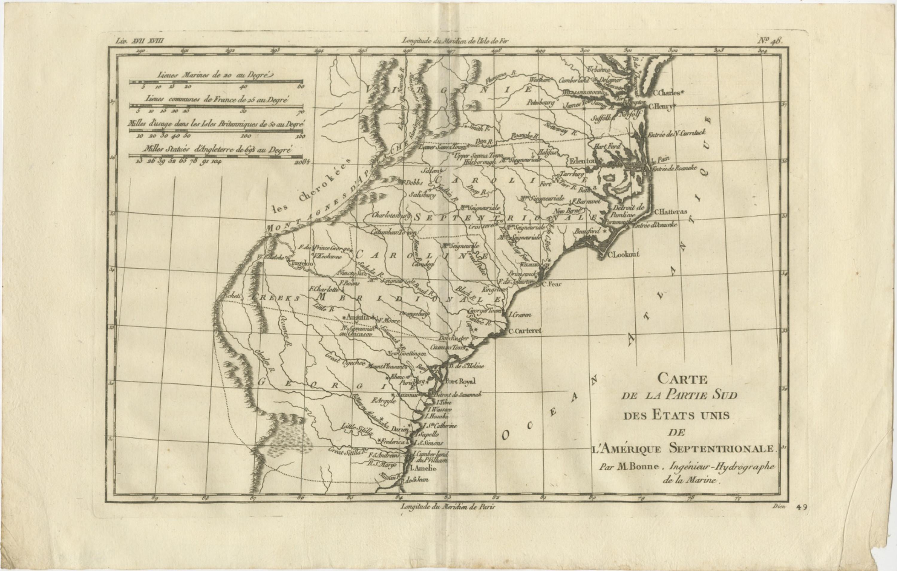
Antique Map Southern United States — Carolina & Georgia, Bonne c.1780
€ 340
Original antique · The actual sheet photographed · Certificate of authenticity on request · Sold unframed · Worldwide shipping from € 15 (rates)
Date
1780
Mapmaker / artist
Rigobert Bonne, France, circa 1780
Technique
Copperplate engraving
Sheet size
26 × 41 cm (10.2 × 16.1 in)
Condition
Good
Reference
BG-14105-49
What the condition grades mean
Excellent
Bright and clean, with no faults worth mentioning.
Very good
Only light signs of age, such as faint toning.
Good
Normal signs of age for a sheet of this period: toning, some foxing, small marks or neat old repairs.
Fair
Clear faults such as staining, tears or repairs, priced to match.
Every fault we see is written in the condition note, and the whole sheet is shown uncropped in the photos.
Condition
Good antique condition with age-related toning, visible central fold as issued, light scattered spotting, and minor handling wear consistent with eighteenth-century paper; margins remain suitable for framing.
About this sheet
Antique Map Southern United States — Carolina & Georgia, Bonne c.1780
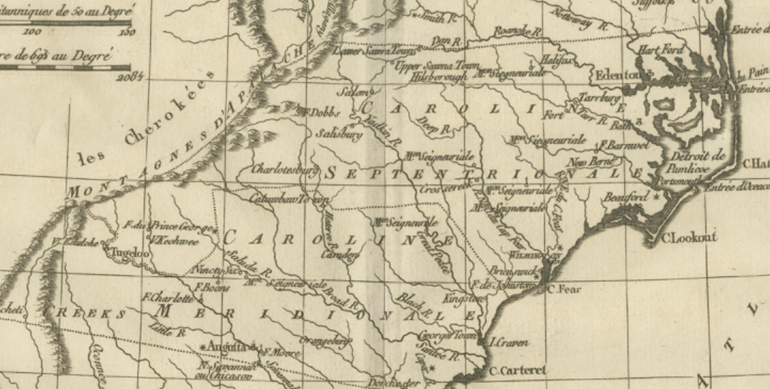
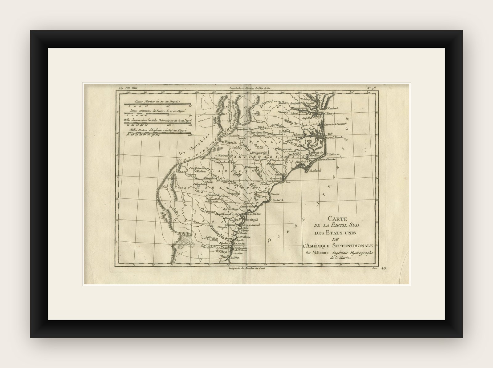
This finely engraved eighteenth-century map by Rigobert Bonne depicts the southern portion of the early United States, focusing on the Carolinas, Georgia, and adjacent southeastern territories during the Enlightenment era. Engraved circa 1780, the map reflects Bonne’s influential position as Ingénieur-Hydrographe de la Marine and chief cartographer at the Dépôt de la Marine in Paris, where he succeeded Jacques-Nicolas Bellin and helped redefine European cartography through clarity, scientific precision, and systematic geographic representation.
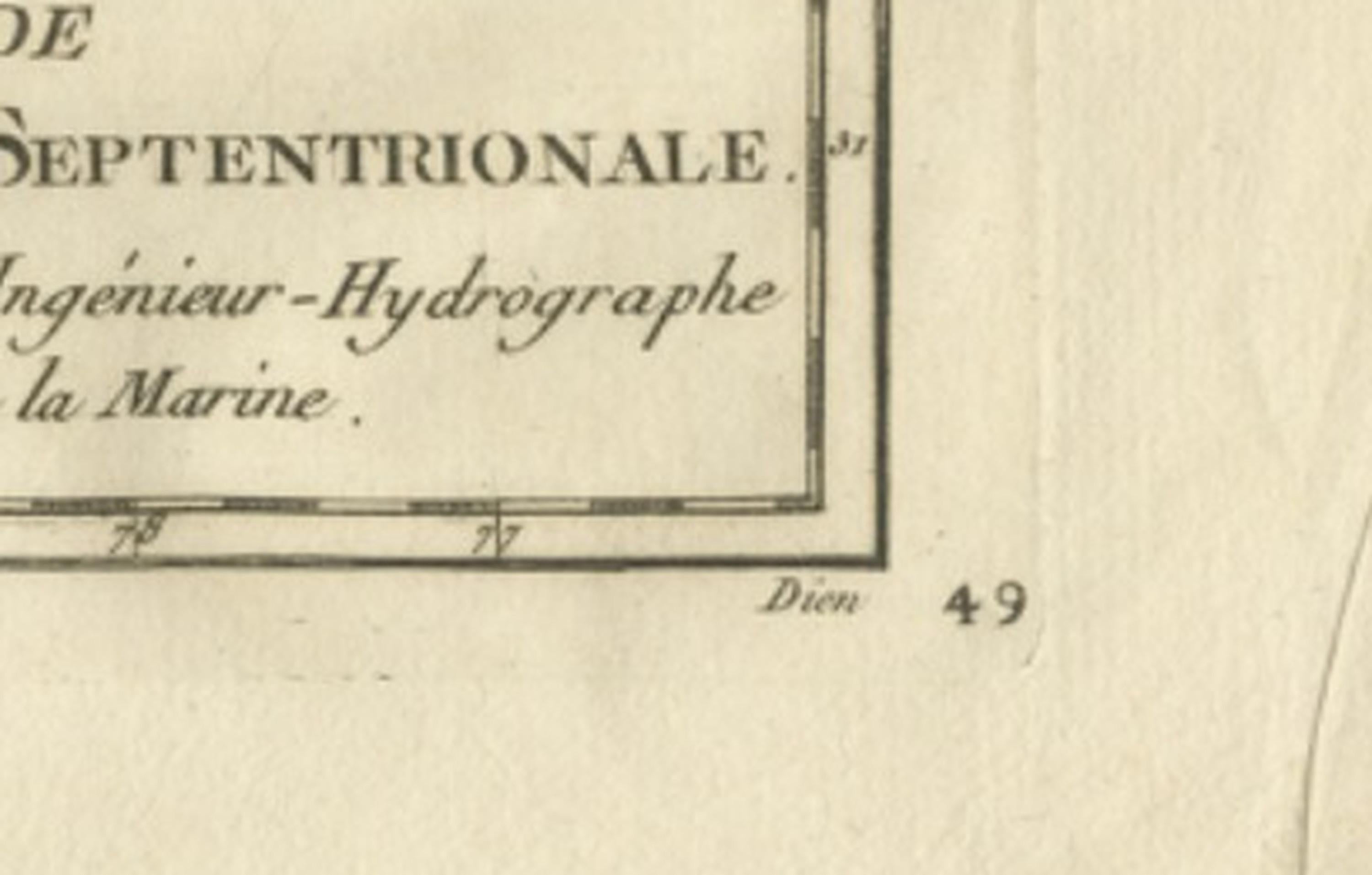
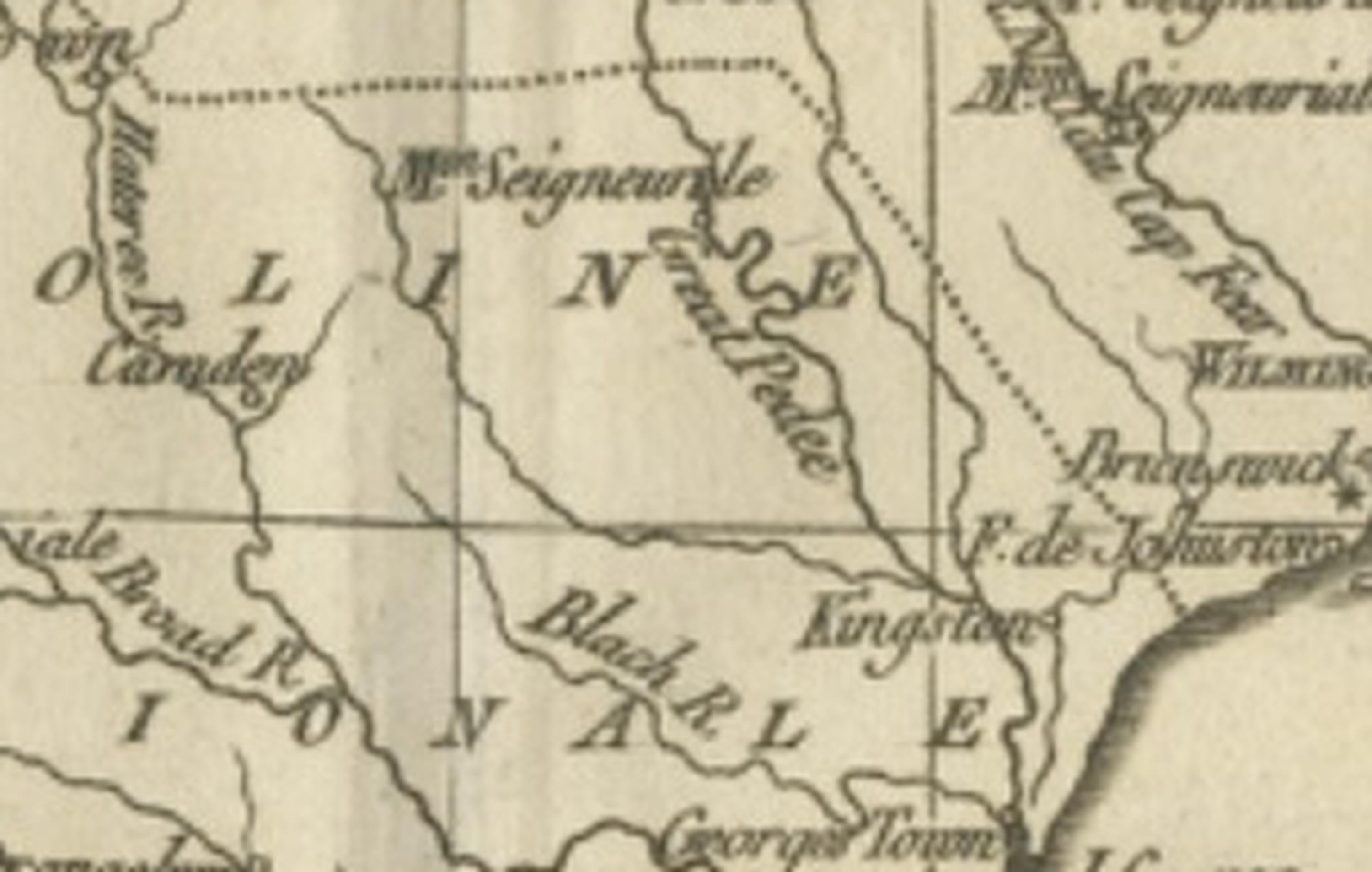
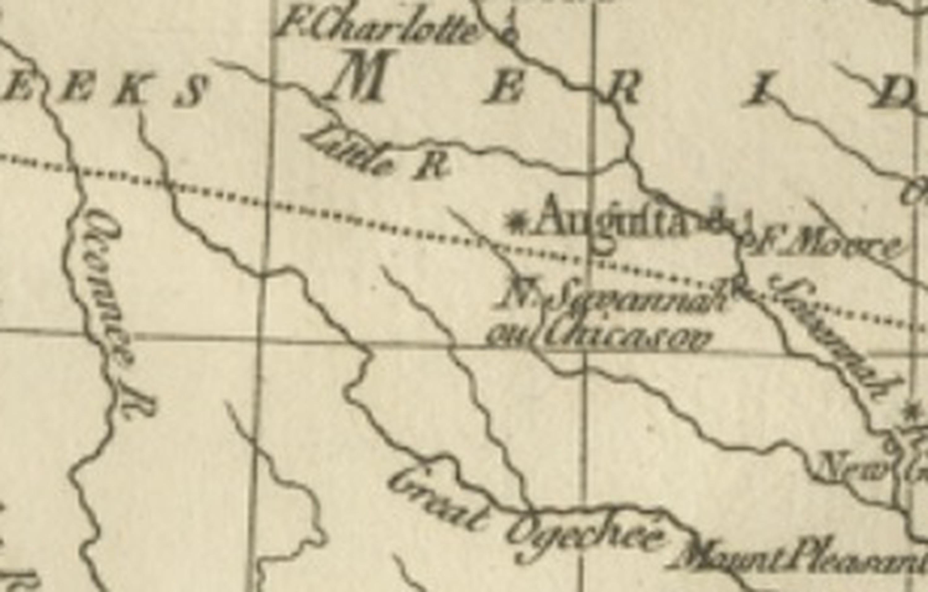
Titled “Carte de la Partie Sud des États Unis de l’Amérique Septentrionale,” the composition illustrates the southeastern Atlantic seaboard, extending from Virginia southward through North Carolina, South Carolina, and Georgia. Coastal features, navigational inlets, and maritime approaches are carefully delineated, highlighting the strategic importance of this region for colonial trade and naval activity. Major settlements, rivers, and geographic features appear throughout, alongside references to indigenous territories and frontier regions, reflecting contemporary European geographic knowledge in the years surrounding the American Revolution.
Bonne’s engraving style emphasizes clarity and balance rather than decorative excess. Delicate linework and restrained hachuring suggest terrain, while the structured grid system reinforces scientific accuracy and legibility. Coastal bays, barrier islands, and river systems are rendered with precision, underscoring the maritime orientation of Enlightenment cartography and the importance of accurate coastal charts for navigation and colonial administration.
Produced during a transformative period in North American history, this map offers insight into how European cartographers interpreted the newly emerging United States and its southern frontier. As part of Bonne’s mature output, it combines scholarly significance with strong decorative appeal, making it desirable both for collectors of early American cartography and for refined interior display.
Condition report: Good antique condition with age-related toning, visible central fold as issued, light scattered spotting, and minor handling wear consistent with eighteenth-century paper; margins remain suitable for framing.
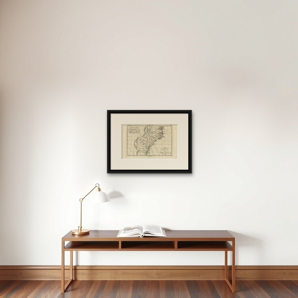
Framing tips: Particularly effective in a dark walnut or black frame with an ivory or warm off-white mat; the wide horizontal format works well above desks or consoles and pairs nicely with related Bonne maps of North America for a cohesive historical presentation.