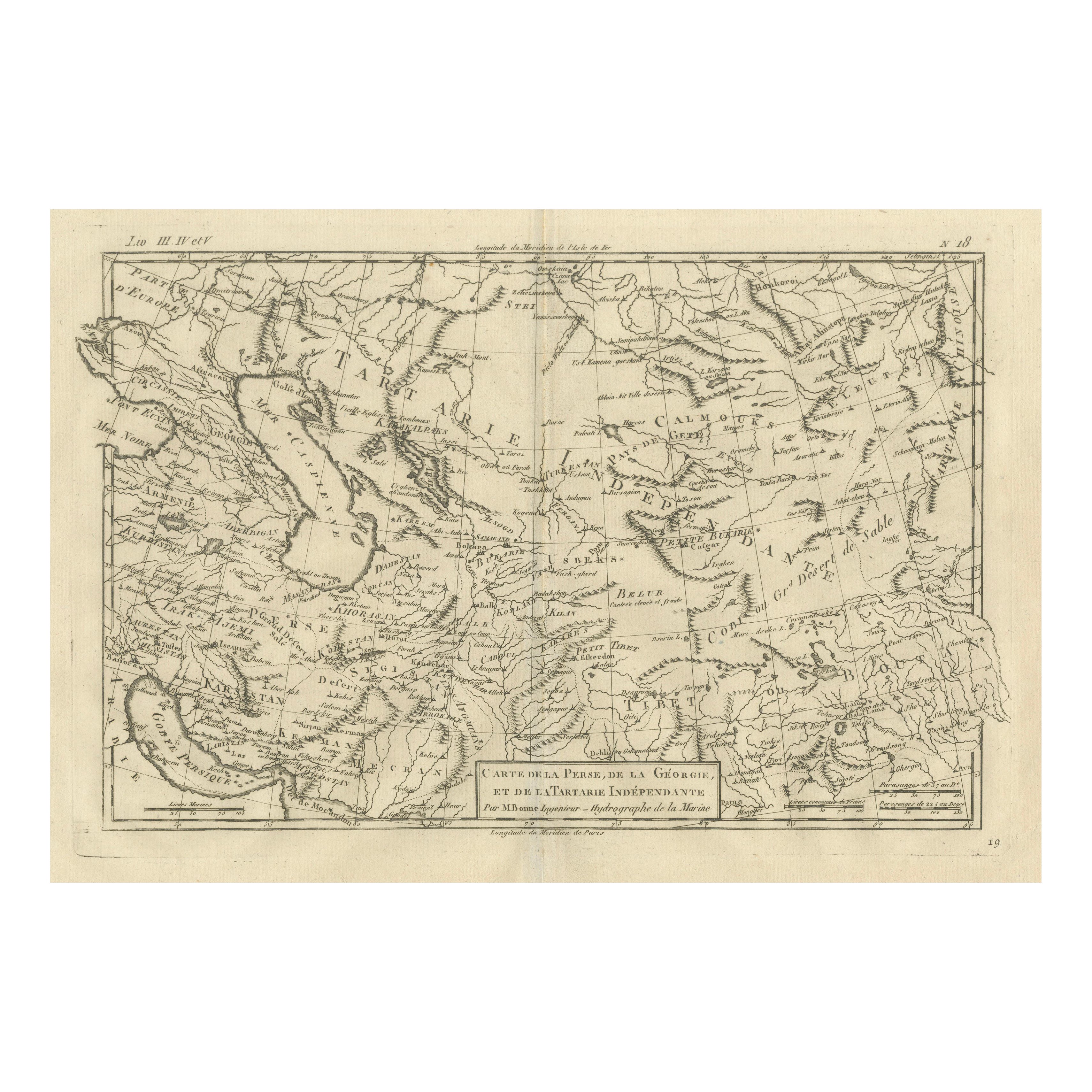
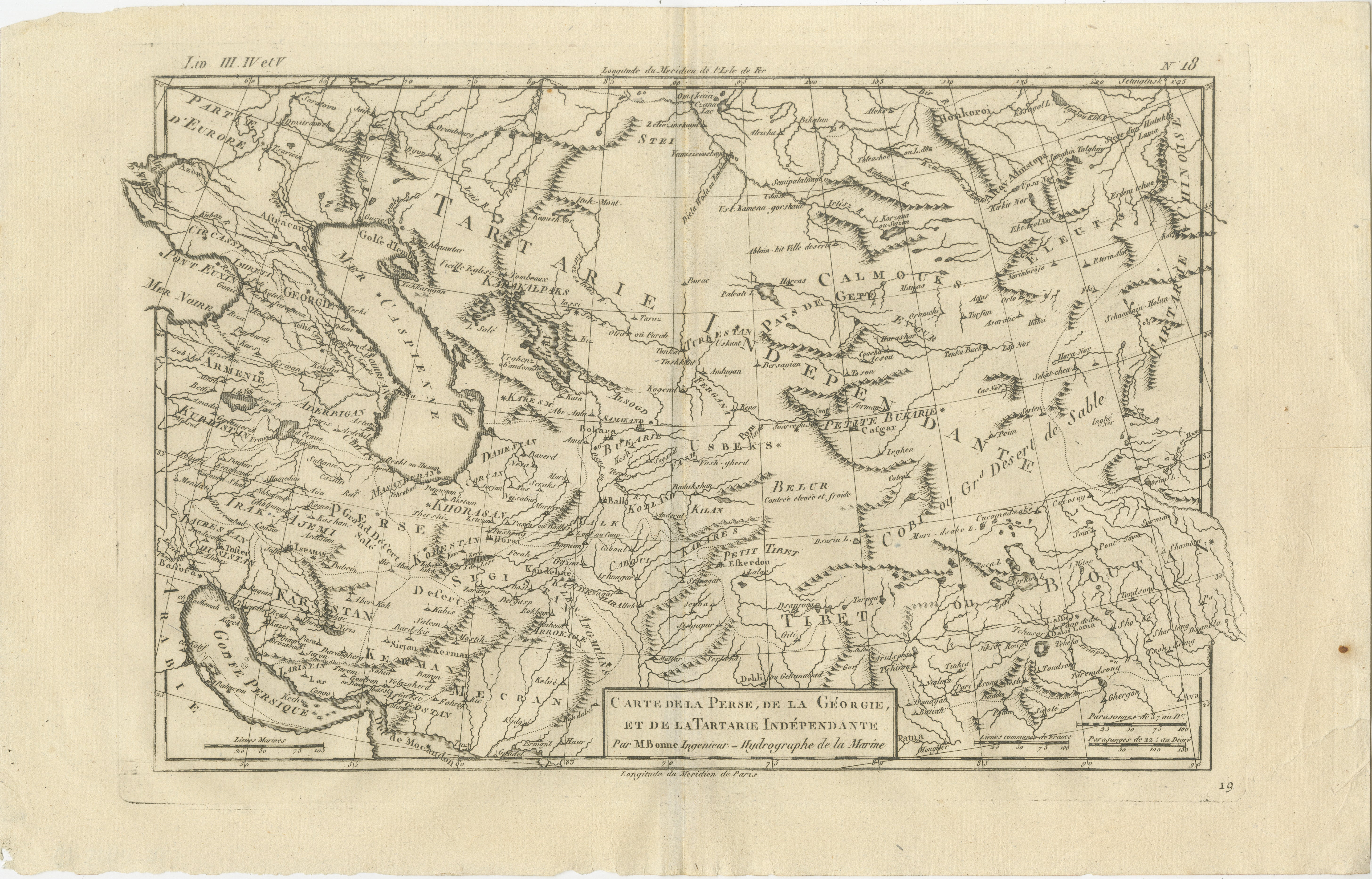
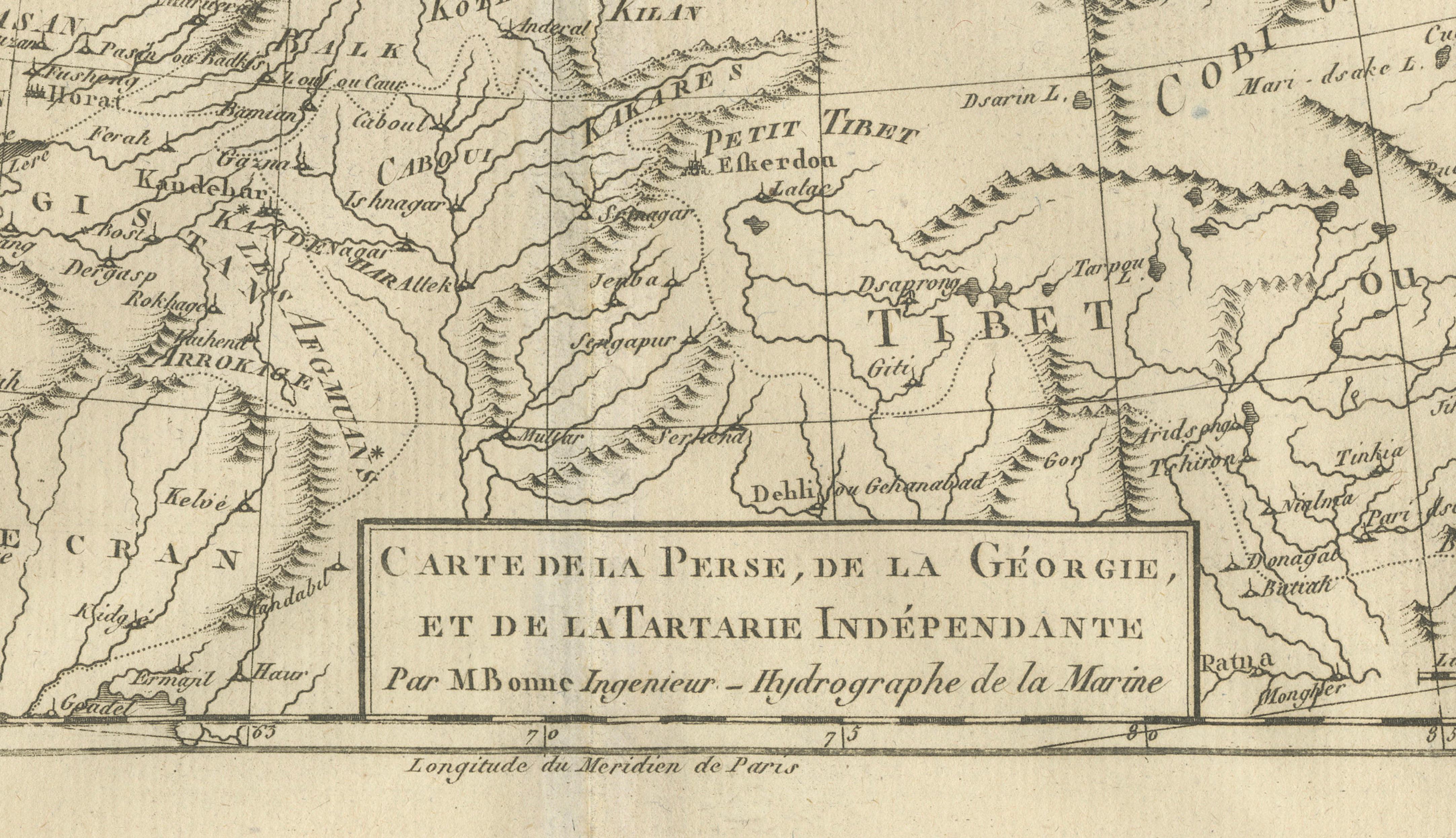
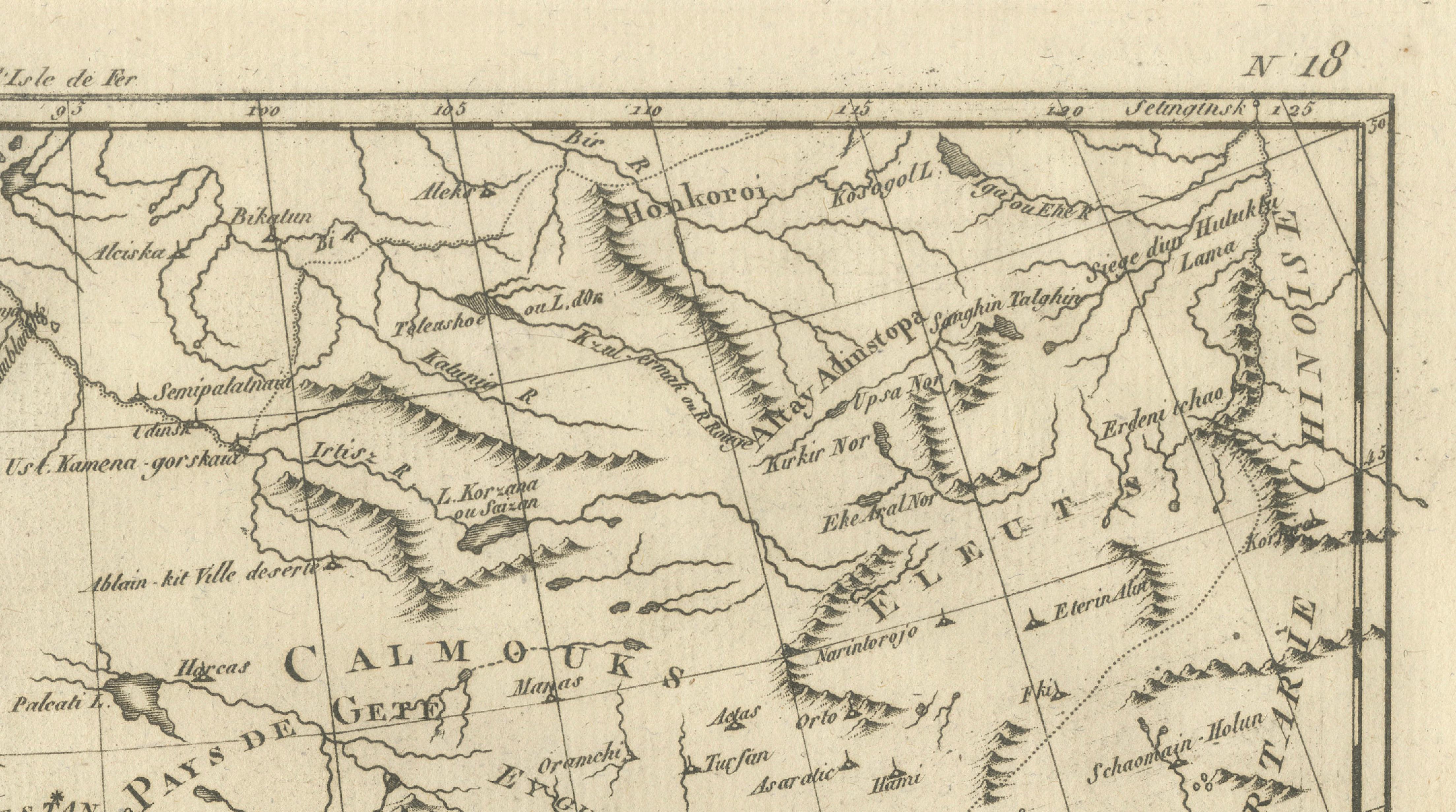
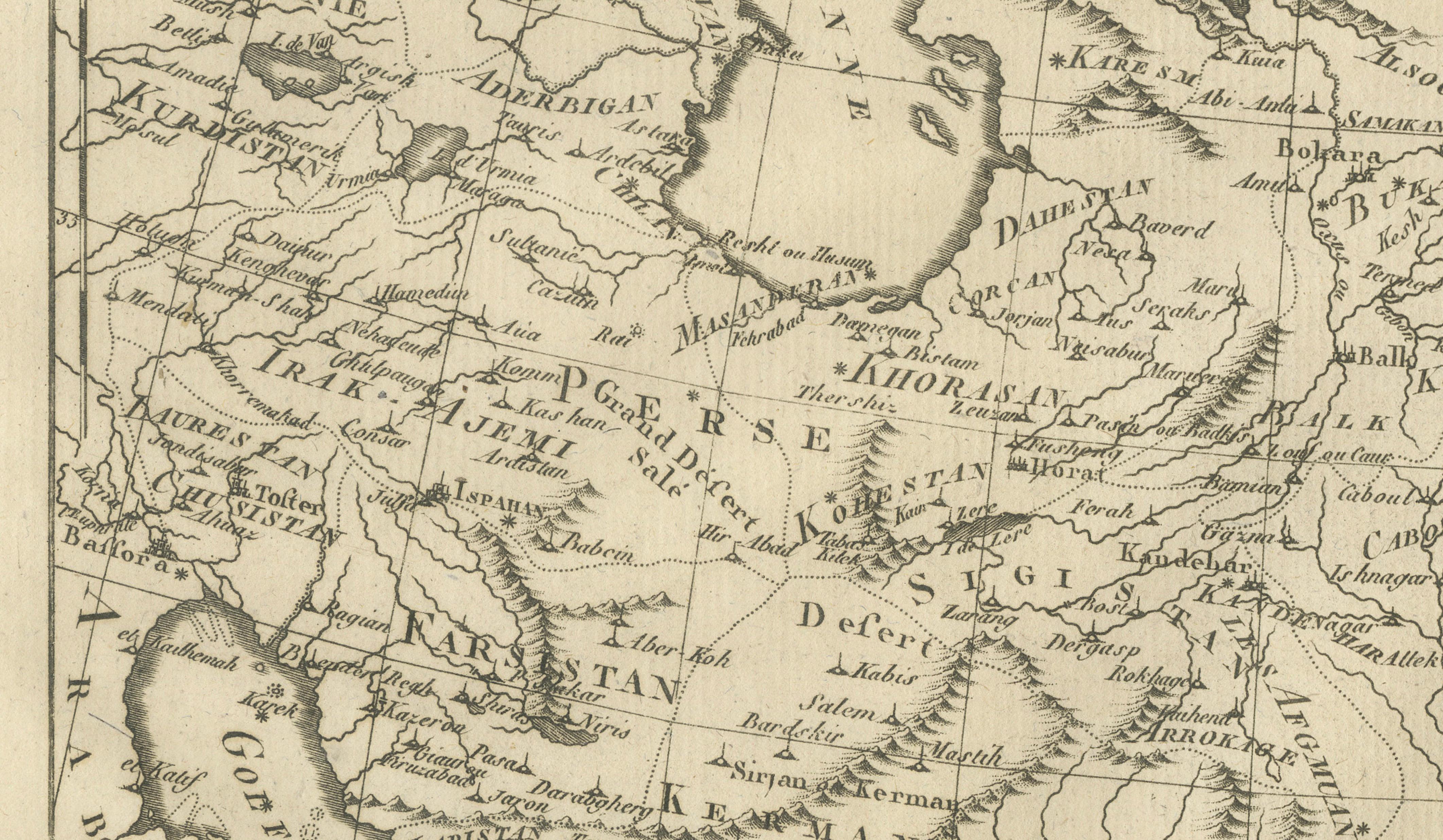
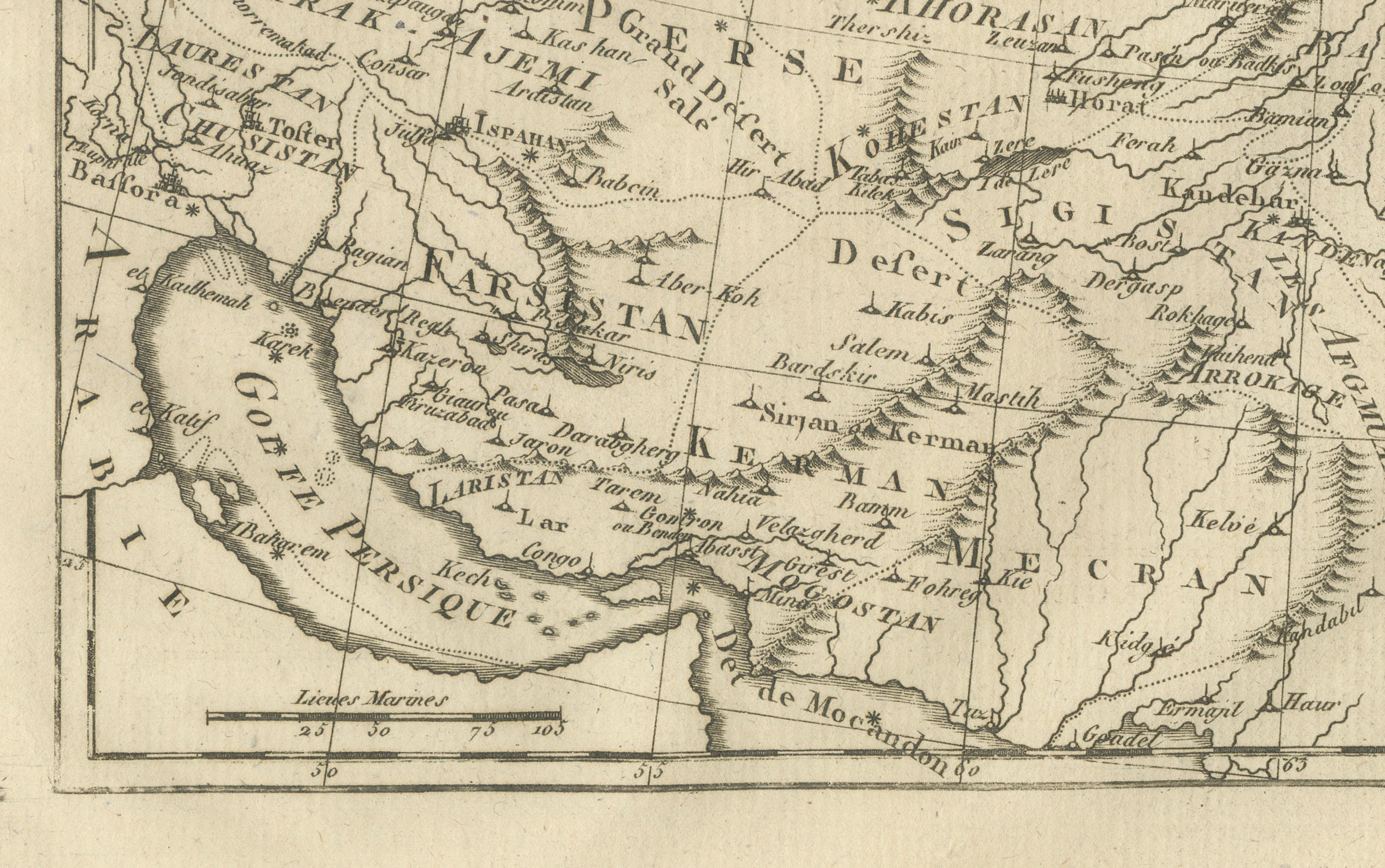
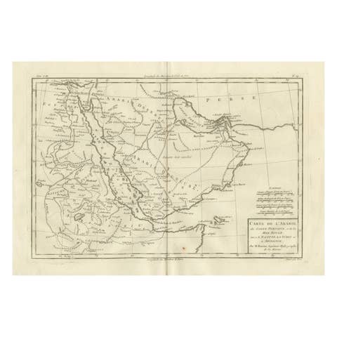
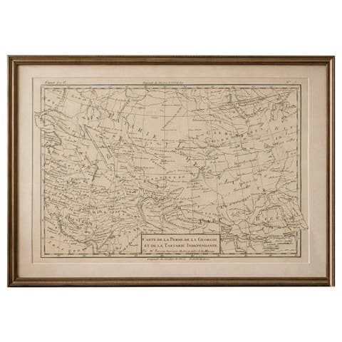
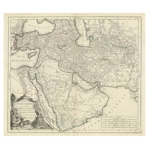
Antique Map of Persia and Georgia by Rigobert Bonne, Circa 1780
€ 310
One of a kind: this is the sheet in the photographs. Ships from Langweer, the Netherlands.
Date
1780
Sheet size
26 × 41 cm (10.2 × 16.1 in)
Condition
Good
Reference
BG-14105-19
Condition
Very good condition with light toning and original fold. One tear but outside the platemark. The map is offered unframed, preserving the sheet in its original, untouched state.
About this sheet
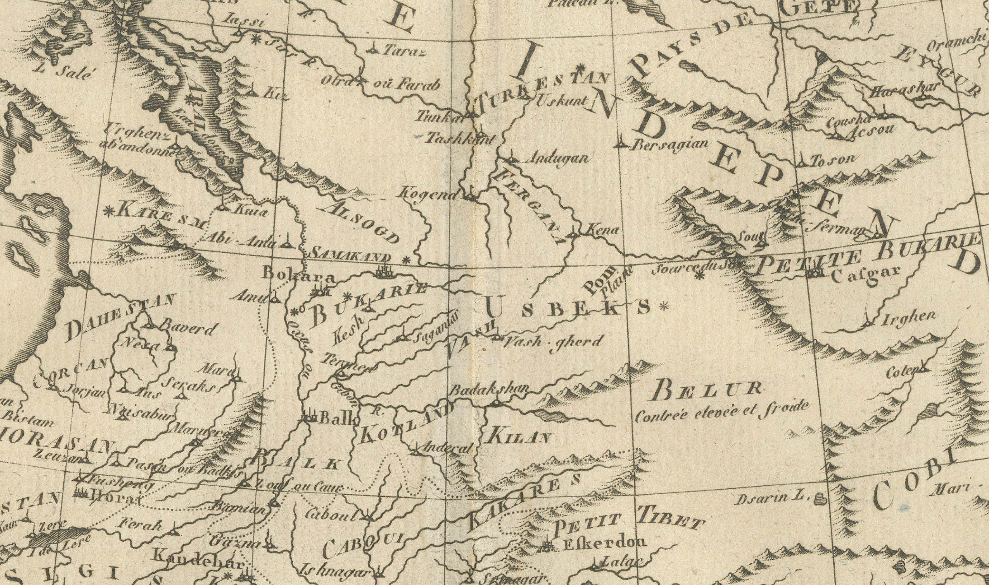
Persia, Georgia & Central Asia – Antique Map, Bonne c1780 Covering Persia, Georgia, and parts of Central Asia, this map illustrates mountain chains, deserts, and river systems shaping the region. Rigobert Bonne’s work reflects European efforts to document territories at the crossroads of Asia and the Middle East. The composition balances geographic density with clarity, making it both scholarly and decorative.
Condition: Very good condition with light toning and original fold. One tear but outside the platemark.
Framing tips: A dark frame with a warm ivory mat complements the intricate line work.
Keywords: Persia map, Iran antique map, Central Asia, Georgia map, 18th century geography, Rigobert Bonne
Technique: Copper engraving Maker: Rigobert Bonne, France, circa 1780