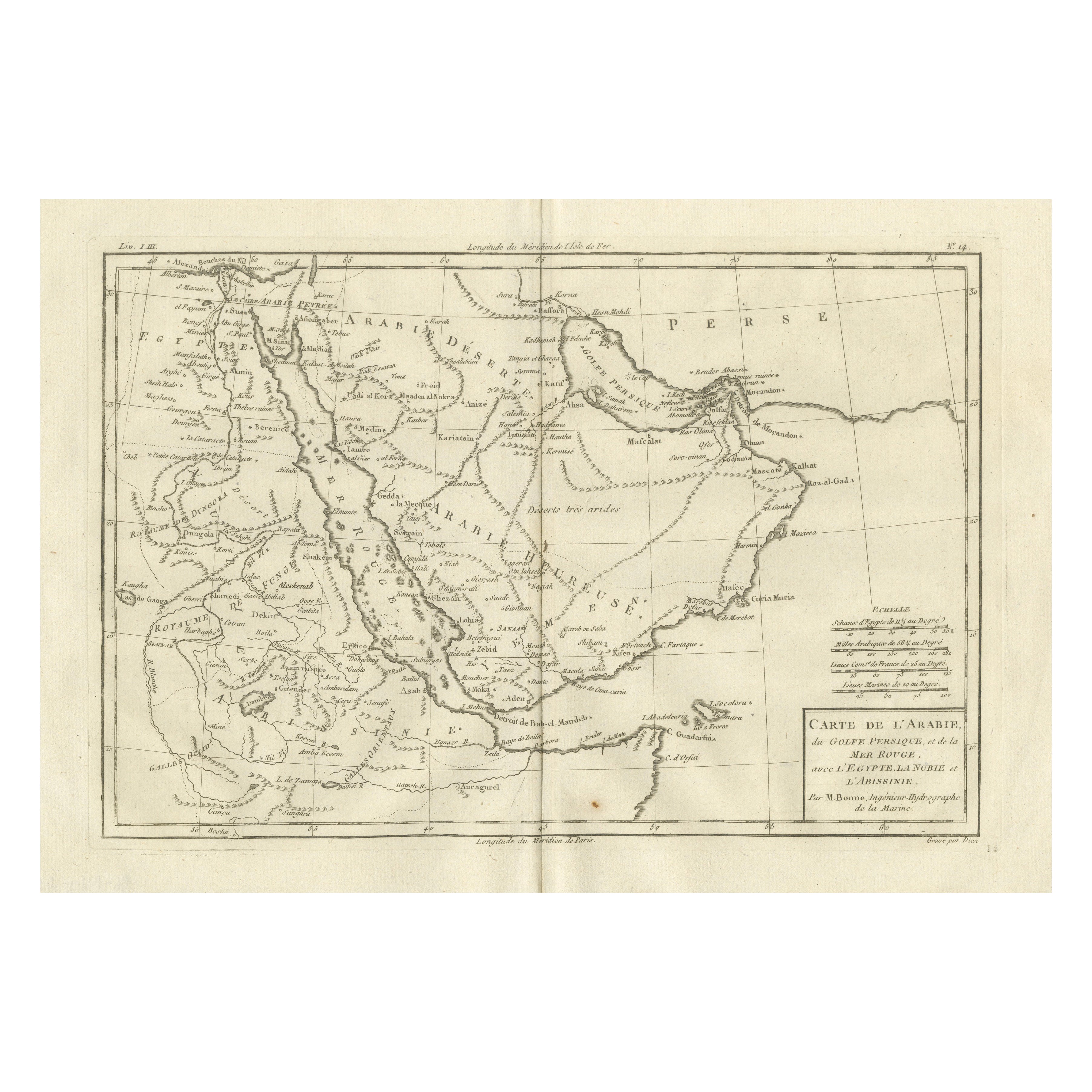
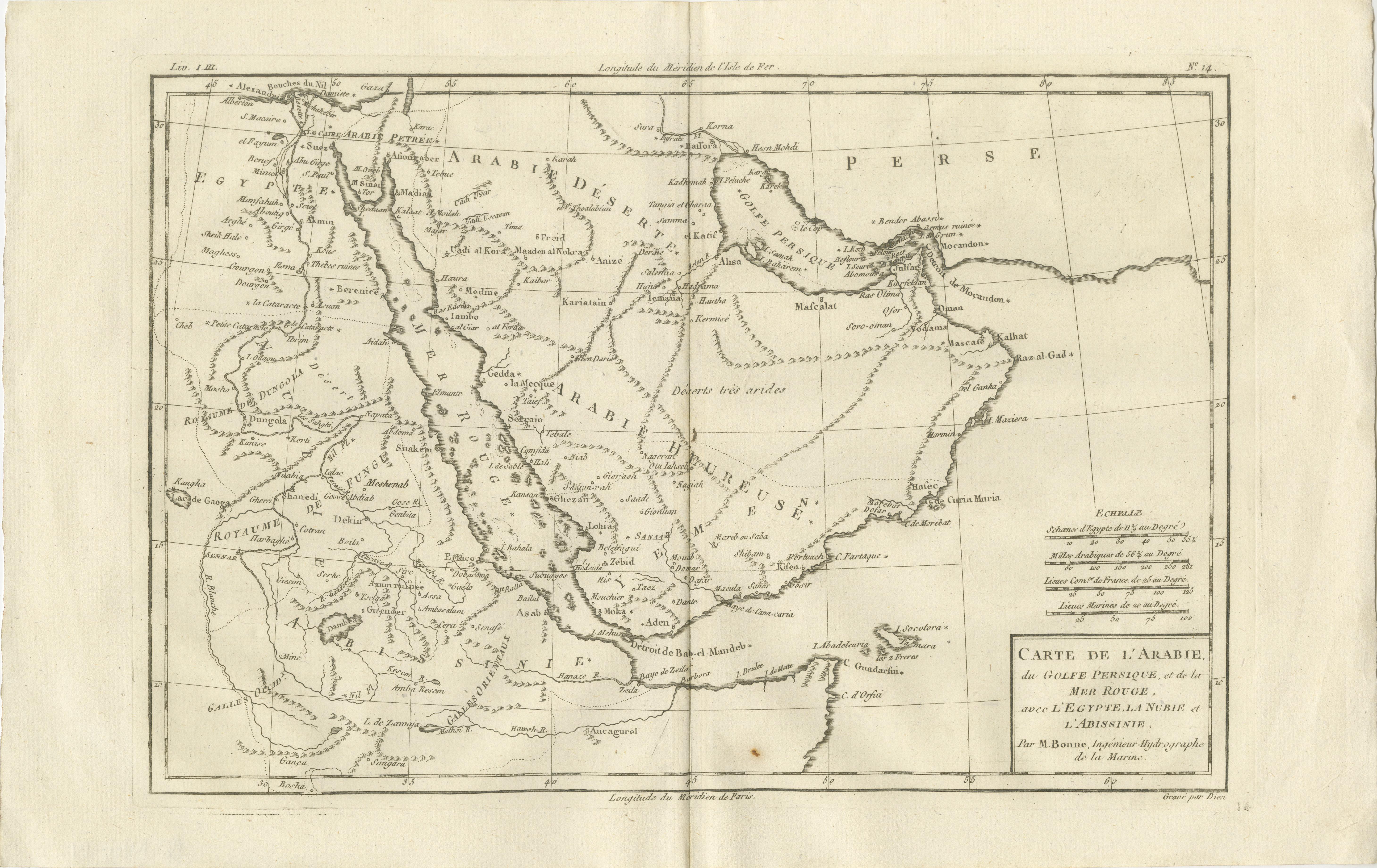
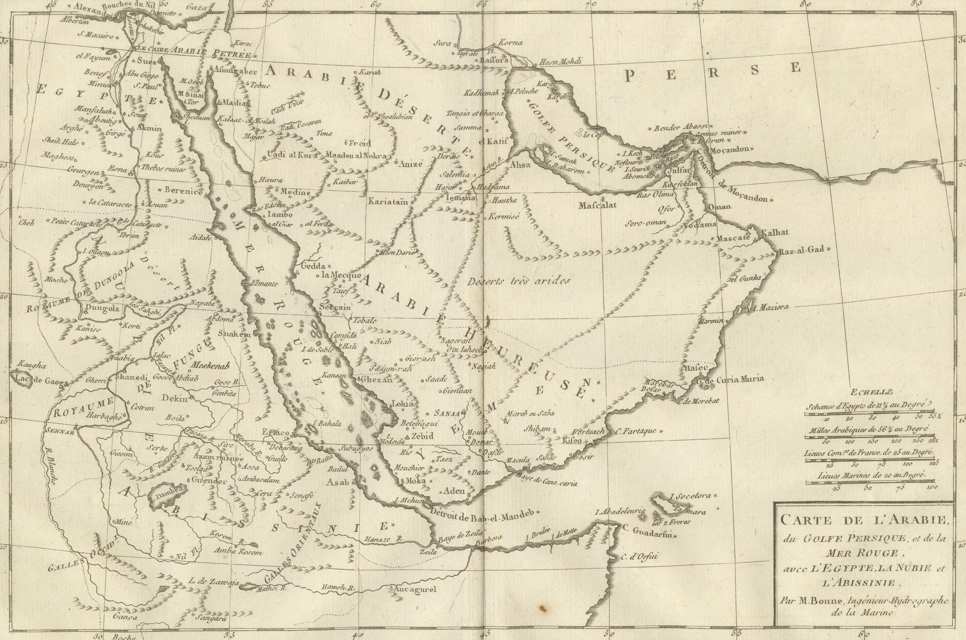
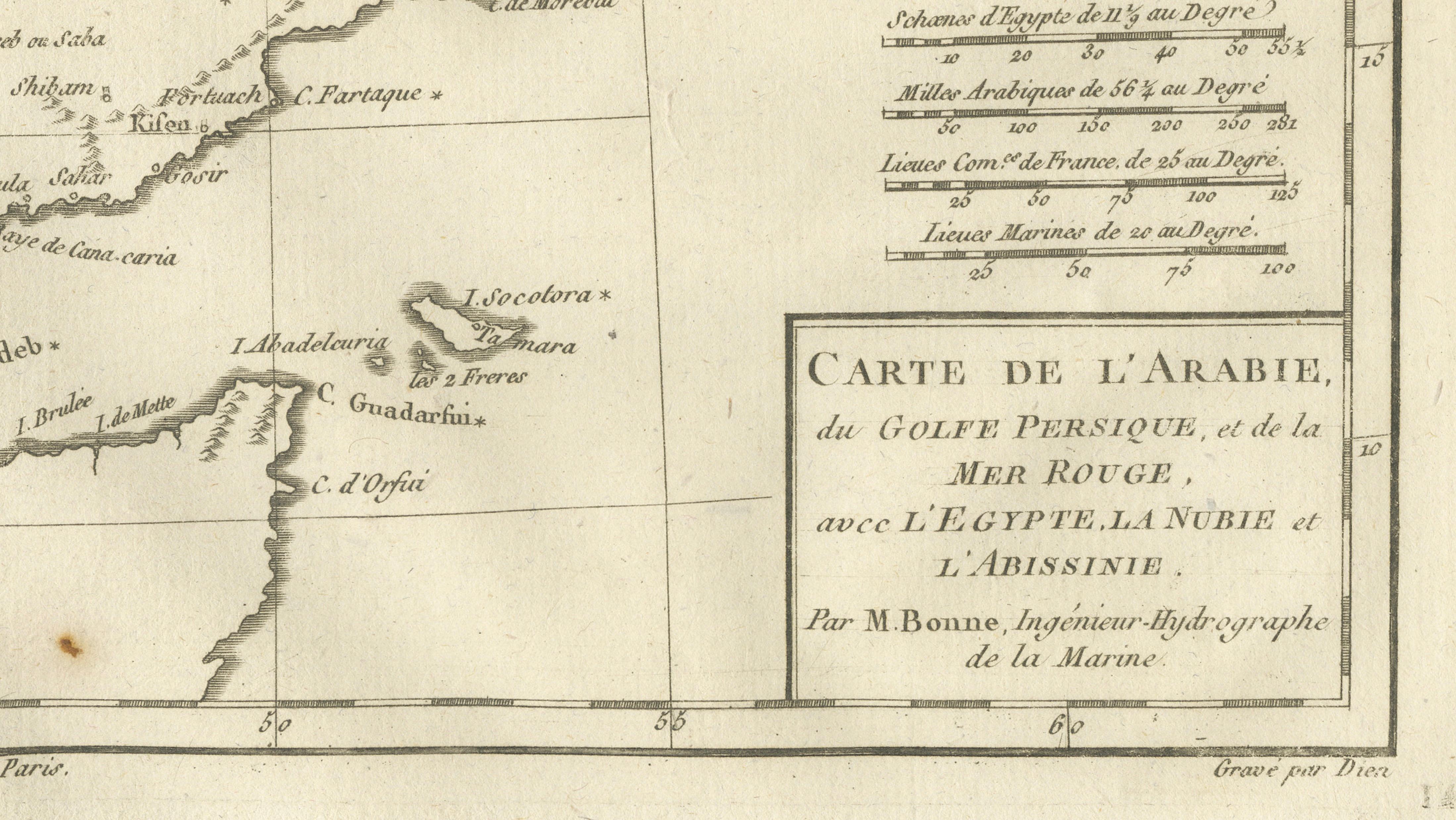
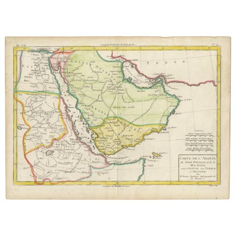
Antique Map of Arabia, Red Sea & Persian Gulf by Rigobert Bonne, 1780
€ 360
One of a kind: this is the sheet in the photographs. Ships from Langweer, the Netherlands.
Date
1780
Sheet size
26 × 41 cm (10.2 × 16.1 in)
Condition
Good
Reference
BG-14105-14
Condition
Good antique condition. Light toning, central fold, small marginal marks. The map is offered unframed, preserving the sheet in its original, untouched state.
About this sheet
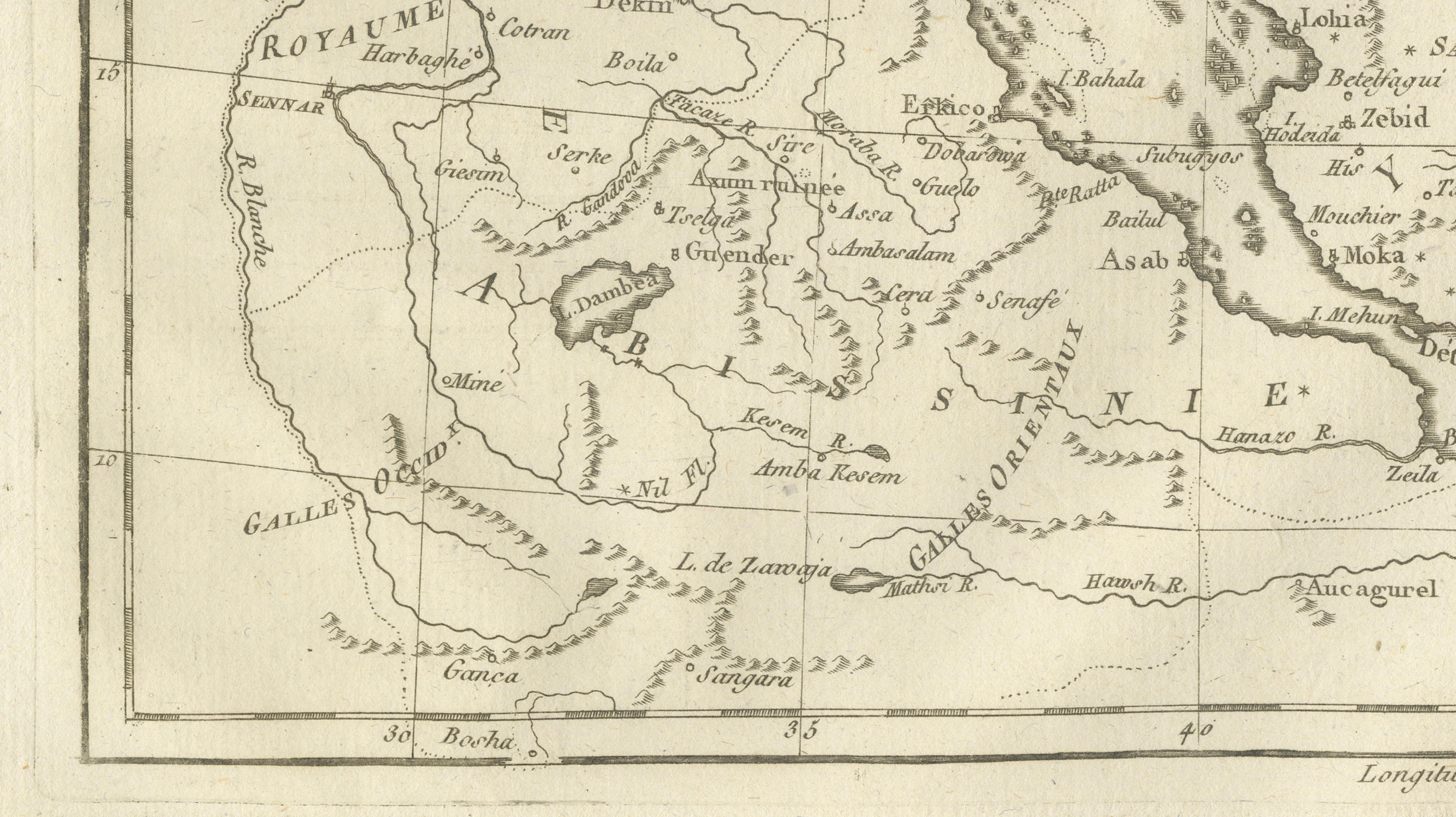
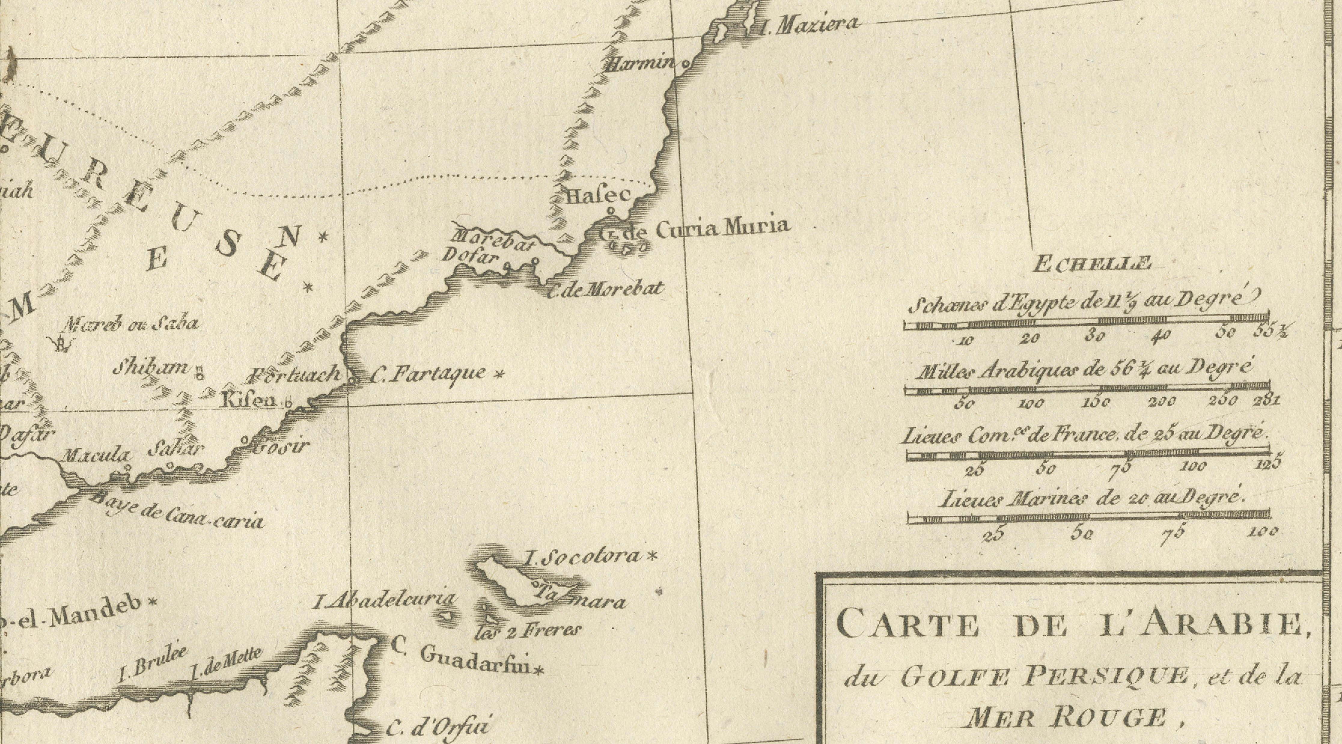
Arabia, Red Sea & Persian Gulf – Antique Map, Bonne c1780 This striking map covers the Arabian Peninsula, the Red Sea, Persian Gulf, Egypt, and parts of East Africa. Rigobert Bonne presents the region with clarity and precision, highlighting coastlines, deserts, caravan routes, and key ports such as Aden and Mocha. The Red Sea is shown in detail, reflecting its strategic importance for trade between Europe and Asia. Mountains and deserts are rendered with elegant hachuring, giving the map both geographic depth and visual rhythm. An important document of 18th-century European views of the Middle East.
Condition: Good antique condition. Light toning, central fold, small marginal marks.
Framing tips: Dark wood frame with a wide neutral mat for a scholarly, museum-style presentation.
Keywords: Arabia map, Red Sea map, Persian Gulf map, Middle East cartography, antique Arabian map, Rigobert Bonne, 18th century geography
Technique: Copper engraving Maker: Rigobert Bonne, France, circa 1780