About this sheet
Antique Holy Land Map, Terrae Sanctae Tabula – Guillaume De L’Isle, 1782
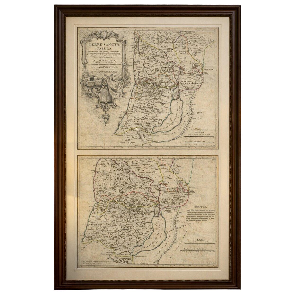
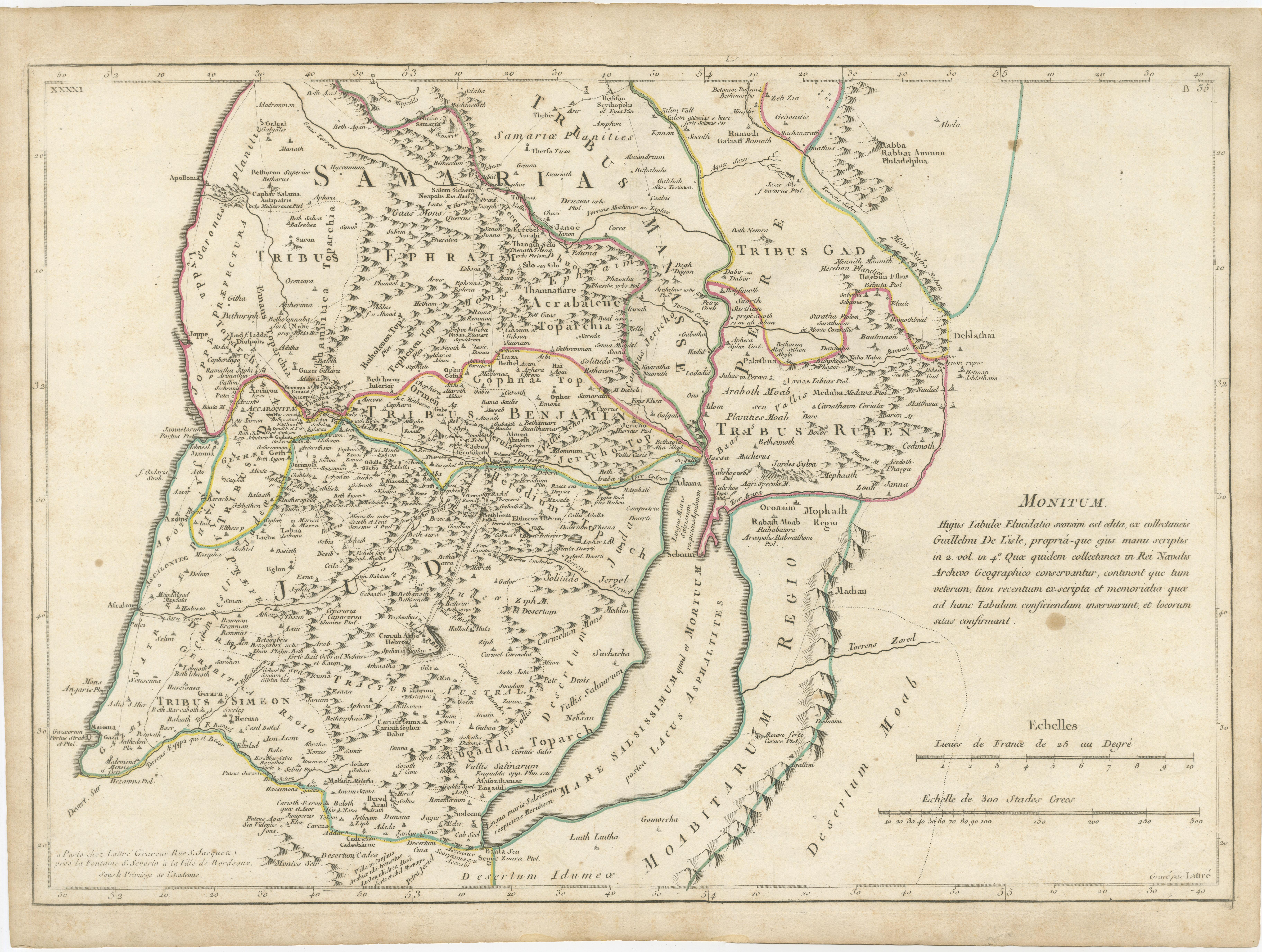
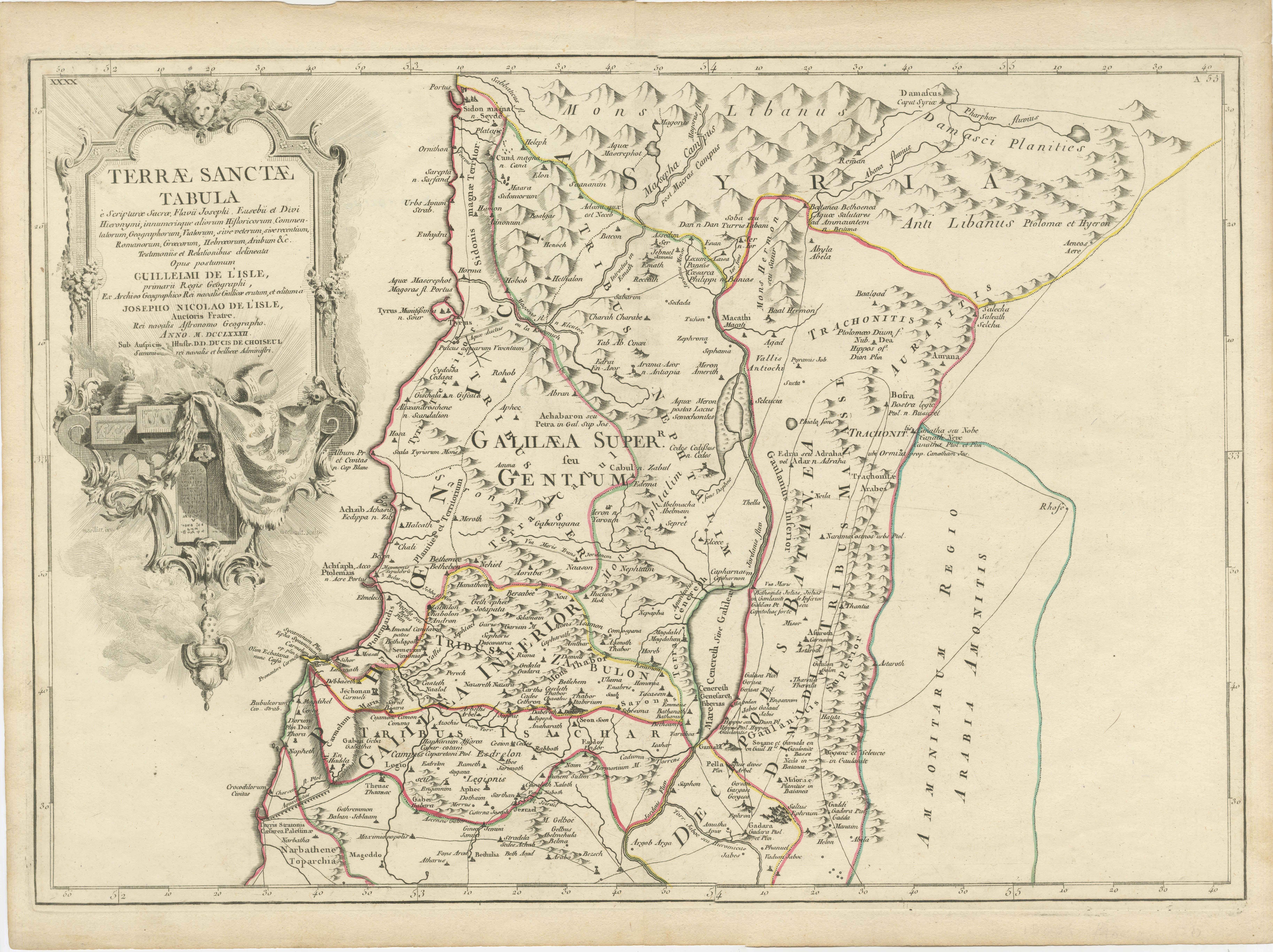
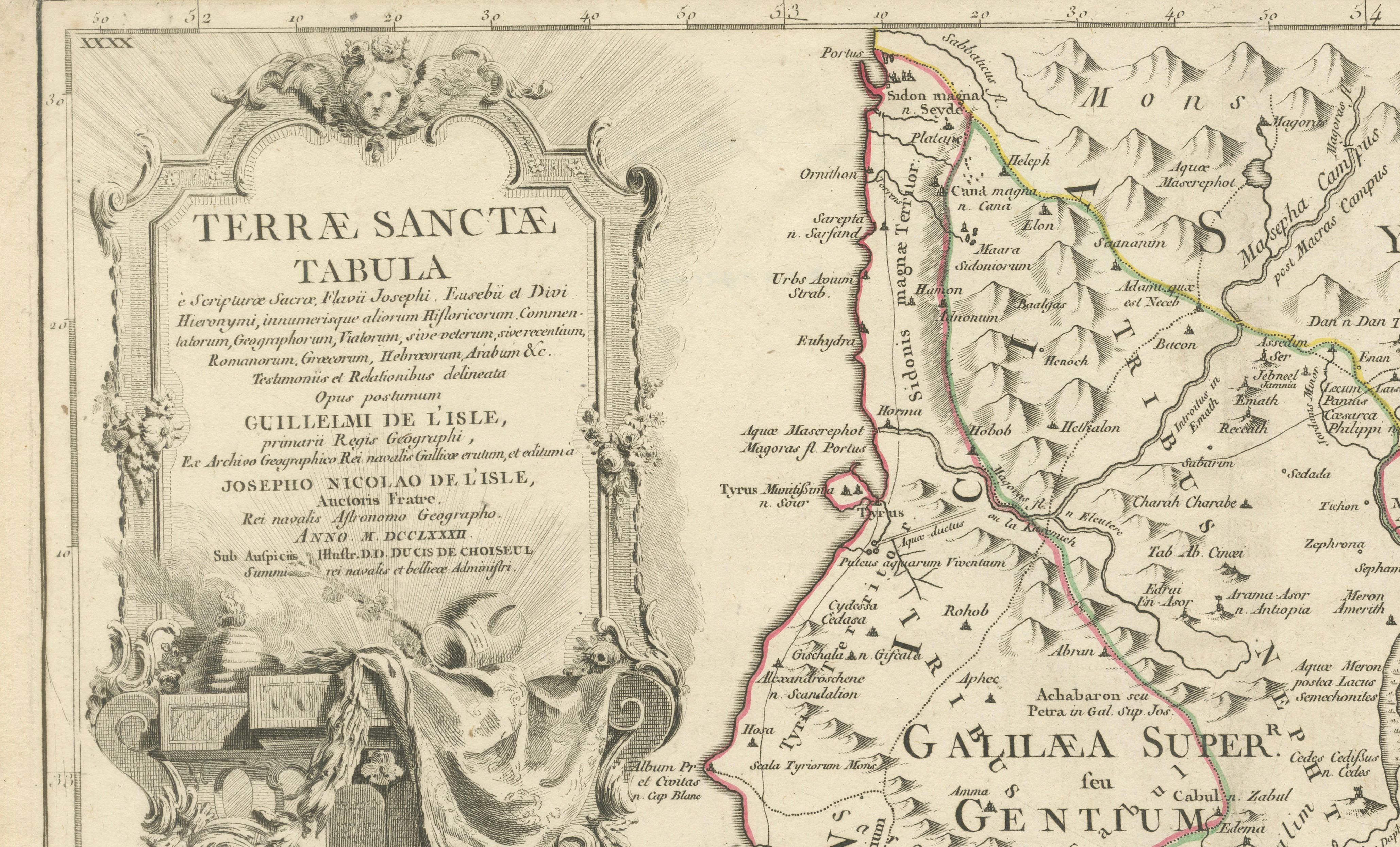
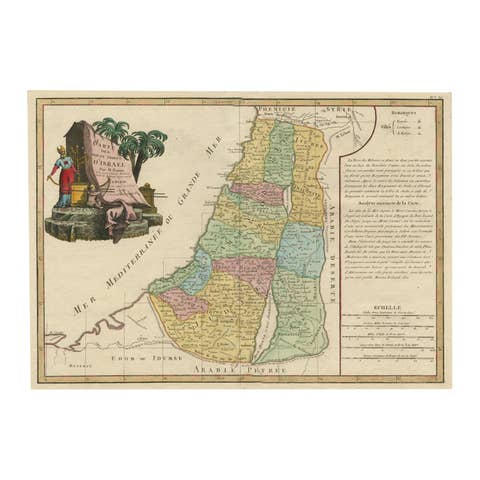
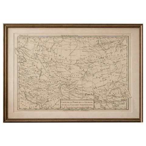
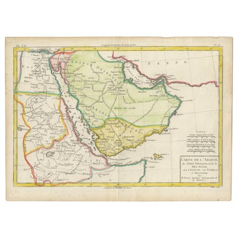
A finely engraved and historically significant late-18th century map of the Holy Land by Guillaume De L’Isle, one of the most influential scientific cartographers of the Enlightenment period. Issued in Jean Lattre’s Atlas Moderne (Paris, 1782), this map reflects the transition from decorative baroque cartography toward rigorous geographic scholarship grounded in historical sources and critical analysis.
The two maps are offered unframed, giving flexibility to select a frame that best suits the intended interior.
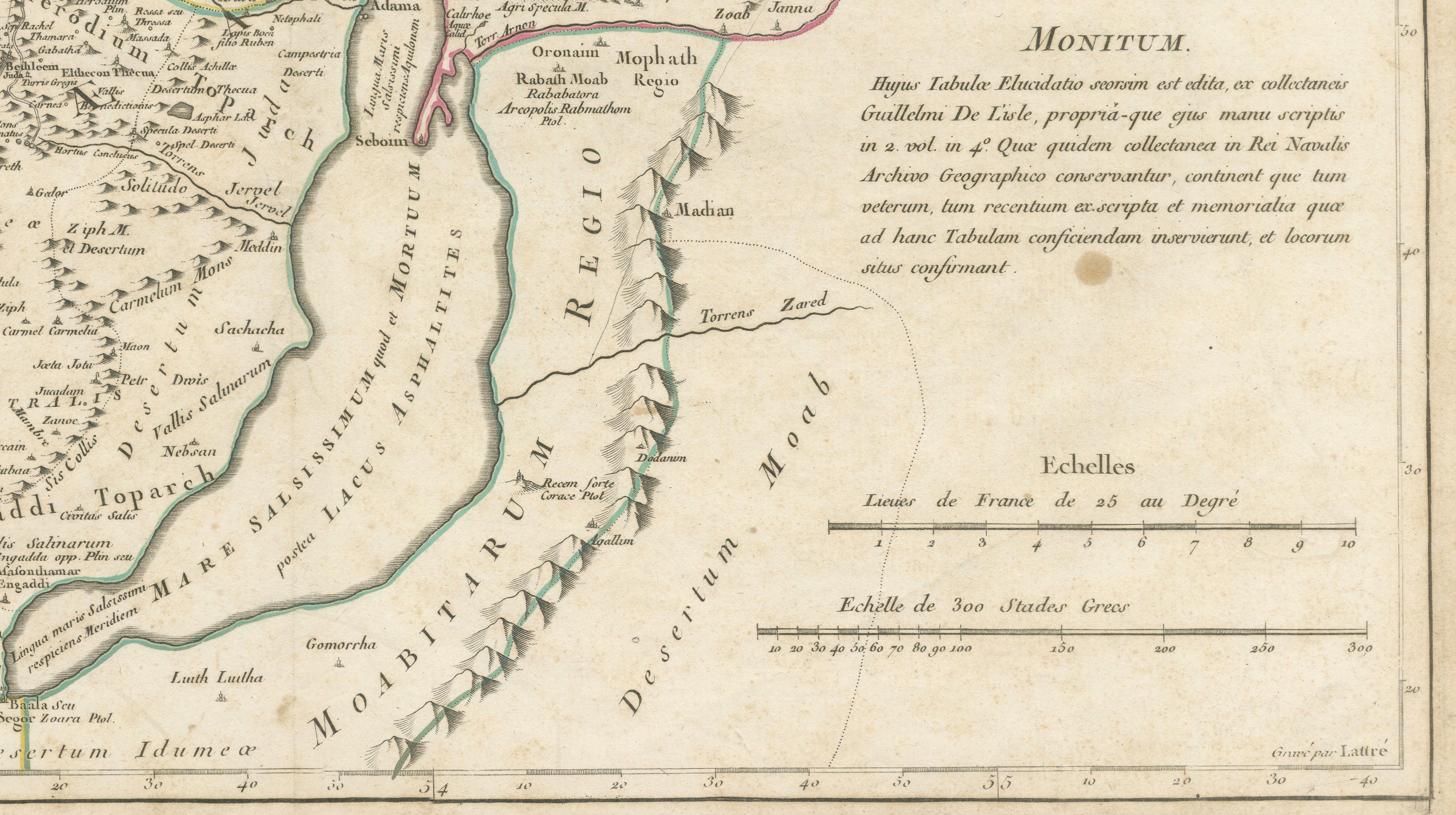
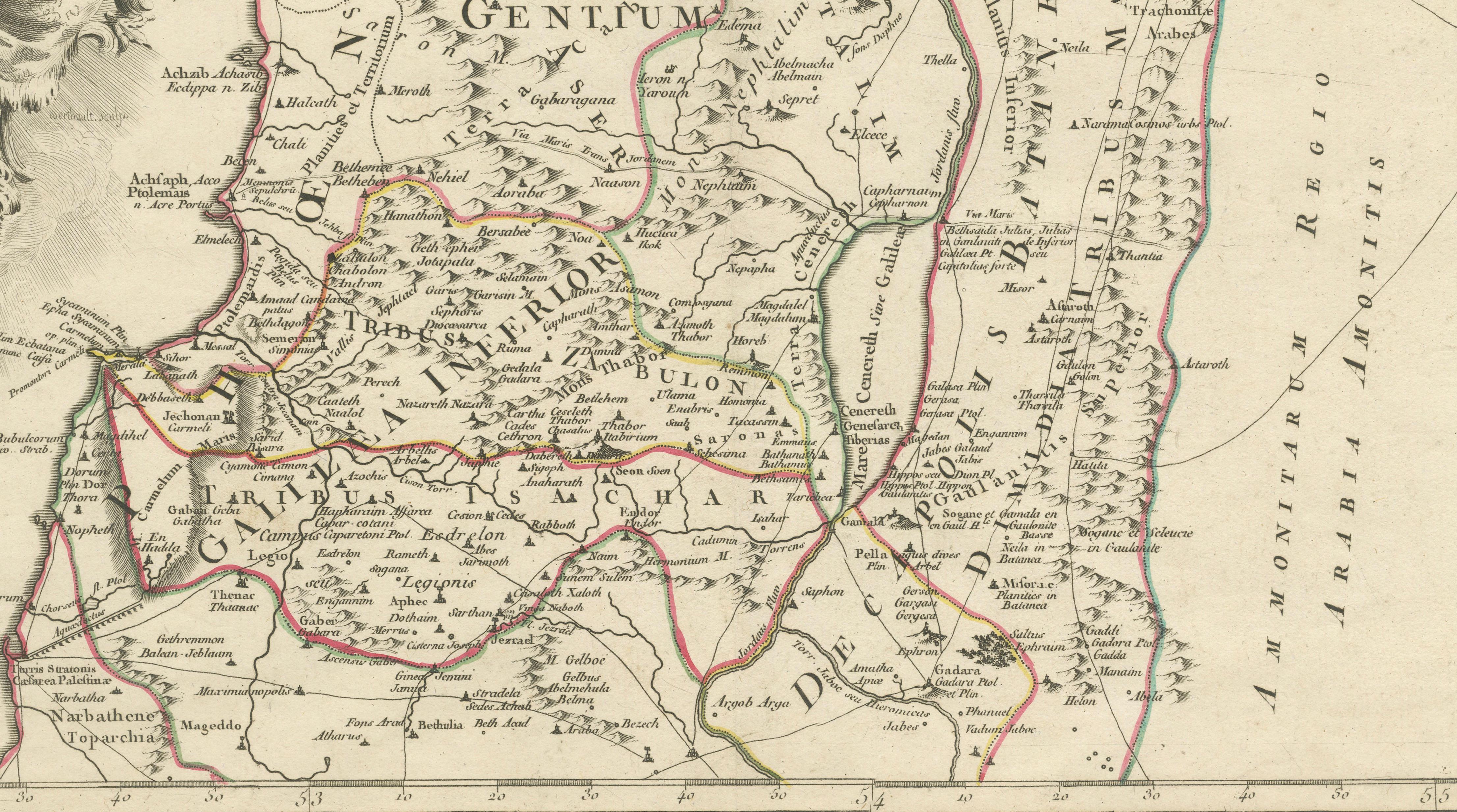
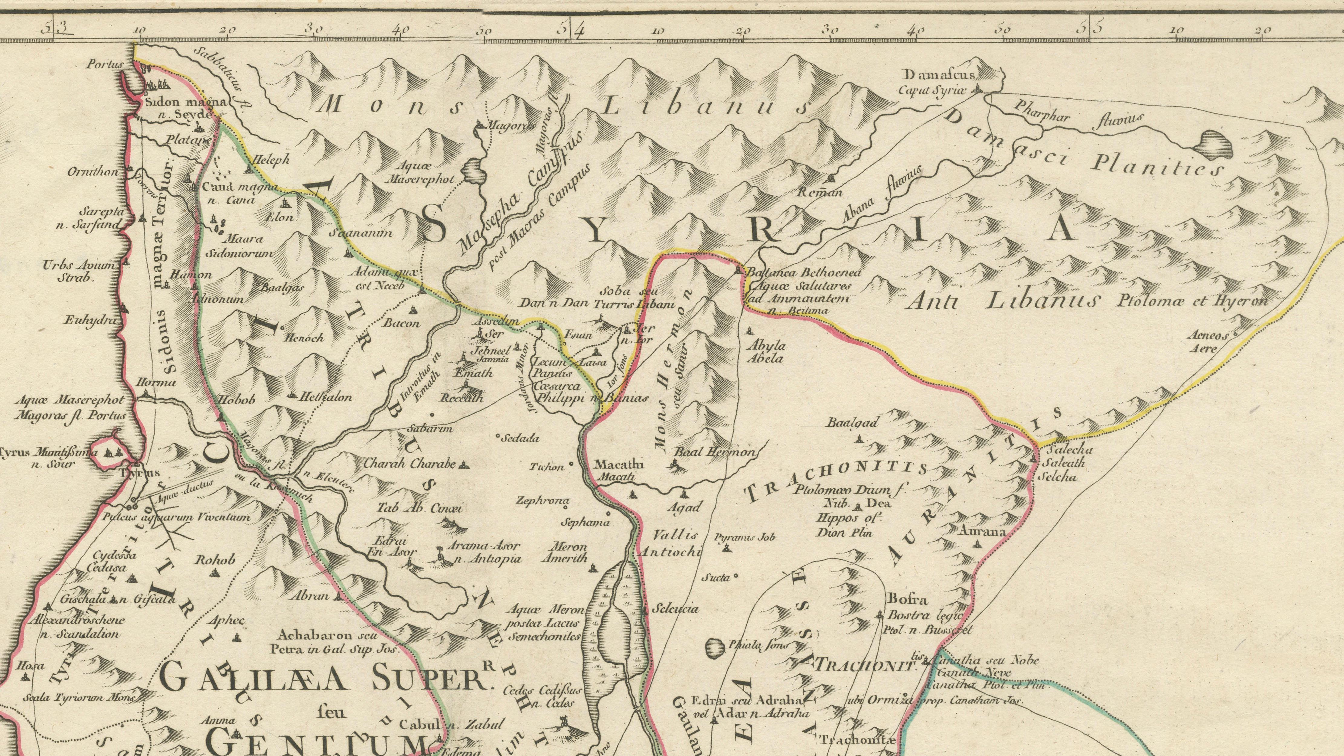
Presented across two sheets, the map depicts the biblical lands from Gaza and the Sinai Peninsula northwards through Judea and Samaria to Sidon and Damascus, encompassing modern Israel, Palestine, Jordan, Lebanon, and parts of Syria. The geography is structured around scriptural and classical references, drawing specifically from sacred texts and early historical authorities including Flavius Josephus, Eusebius, and Saint Jerome, resulting in a cartographic interpretation that blends historical geography with Enlightenment scholarship.
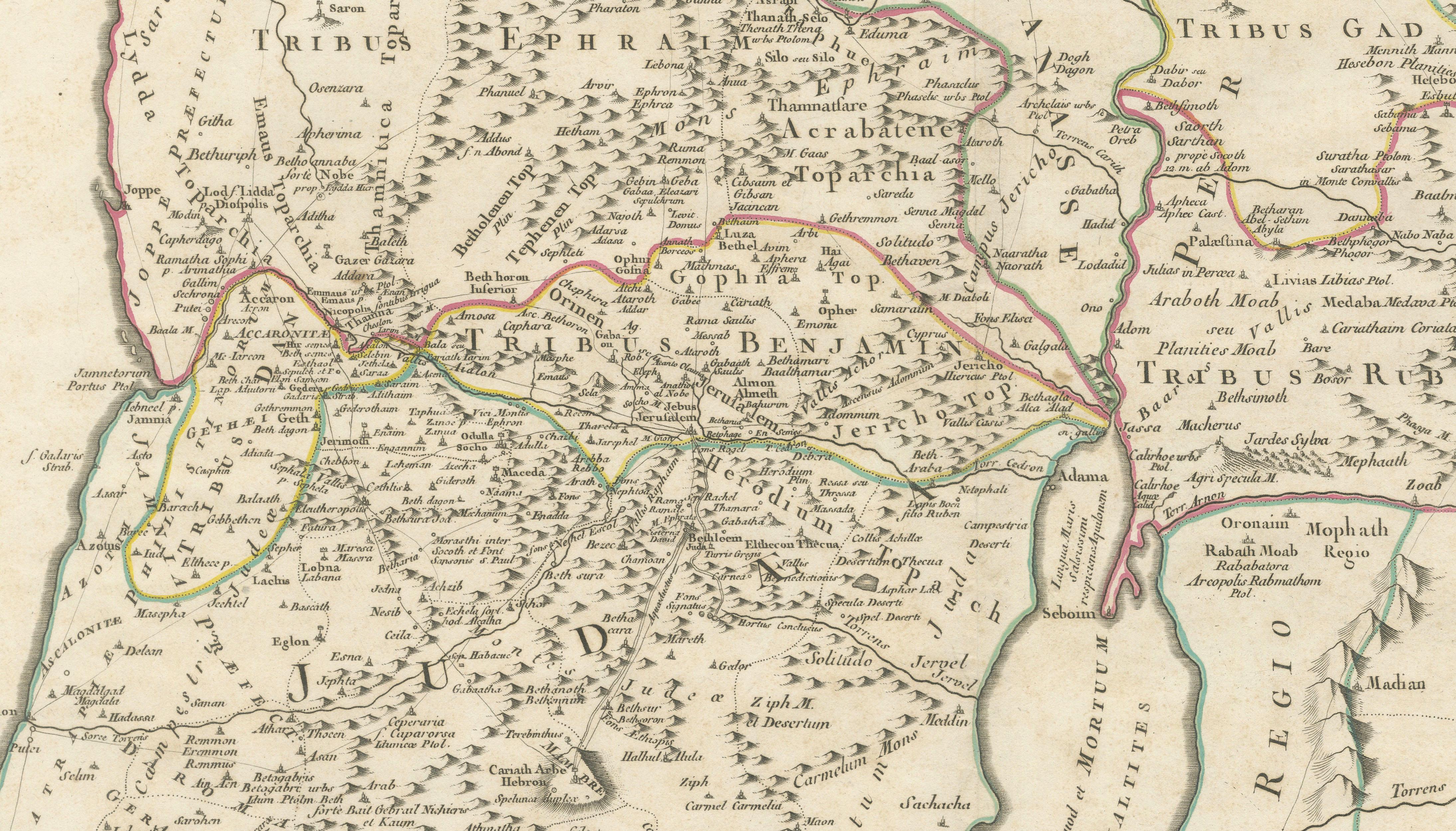
Numerous biblical locations are carefully identified, including territories traditionally associated with the Tribes of Israel. Rivers, deserts, mountain ranges, and ancient cities are rendered with clarity and precision characteristic of the De L’Isle school. Notable sites such as Jerusalem, the Dead Sea region, Gaza, and other significant historical centers appear alongside lesser-known or legendary locations, including references to cities such as Sodom and Gomorrah, reflecting early modern interpretations of sacred geography.
The map’s aesthetic restraint emphasizes accuracy and readability rather than decorative excess. An elaborate rococo title cartouche provides a refined visual focal point, while the engraved linework demonstrates the technical excellence associated with French cartography of the period. The example here preserves both sheets, allowing the full geographic composition intended by the publisher to be appreciated.
Maps by Guillaume De L’Isle are highly regarded by collectors for their scientific rigor and historical importance. Holy Land maps in particular remain enduringly desirable due to their intersection of cartography, theology, and cultural history, making this an appealing acquisition for collectors of biblical cartography, Enlightenment atlases, or early modern Middle Eastern geography.
Condition: Two sheets as issued. Age toning consistent with period paper, light surface wear and minor handling marks visible. Fold lines from original atlas binding present. Margins generally good with expected irregularities.
Framing tips: This map works exceptionally well framed as a two-sheet presentation with narrow spacing between the panels. Dark walnut or ebony frame with ivory or warm cream mat enhances the antique tonal range and suits both classic and contemporary interiors. We well the maps unframed.
Technique: Copperplate engraving
Maker: Guillaume De L’Isle, Paris, 1782
Keyword block: Holy Land map, Terrae Sanctae, Guillaume De L’Isle, Atlas Moderne, Jean Lattre, biblical geography, Palestine map, Israel antique map, Jerusalem cartography, Damascus Sidon map, Dead Sea ancient map, Enlightenment cartography, French atlas map, 18th century Holy Land, scriptural geography, tribes of Israel map, Sodom Gomorrah map, Middle East antique engraving, sacred geography map, antique biblical cartography