
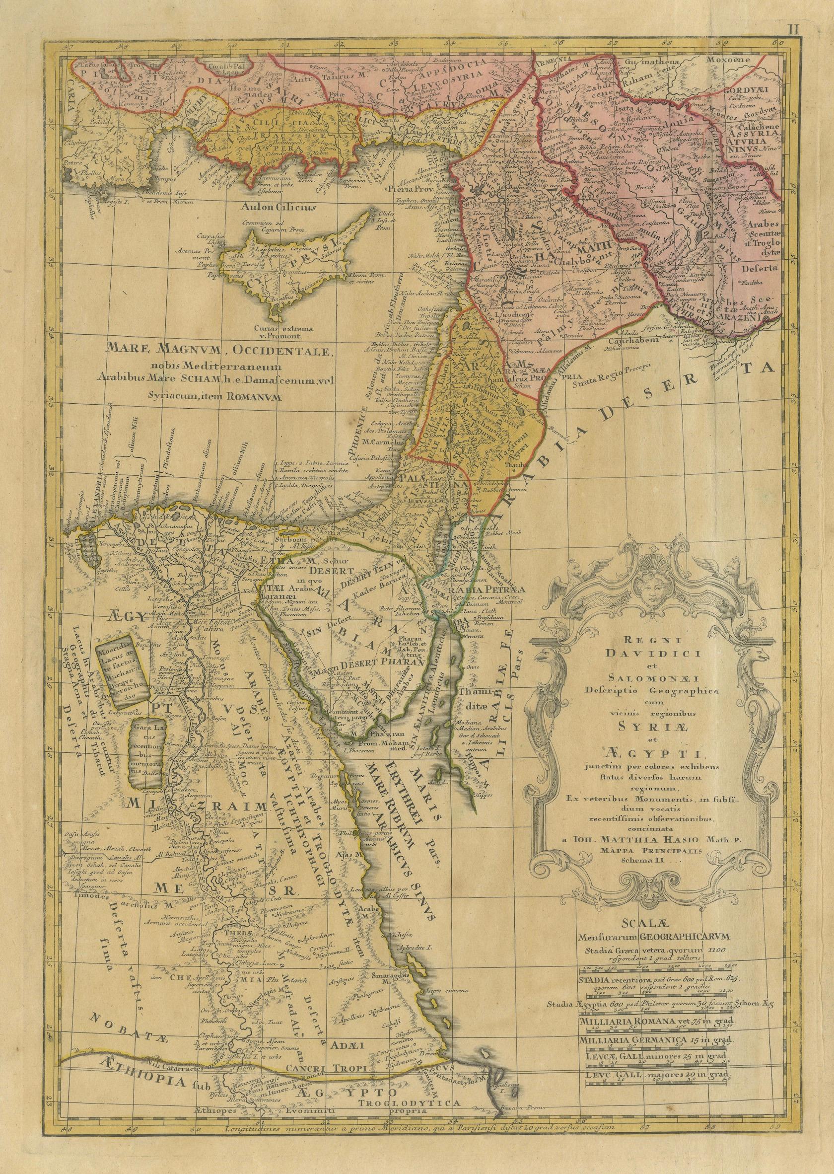
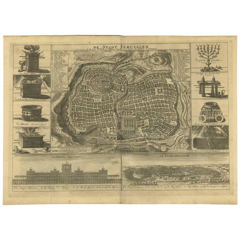
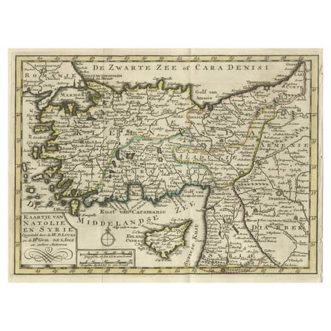
One of a kind: this is the sheet in the photographs. Ships from Langweer, the Netherlands.
Date
1739
Sheet size
54 × 63.6 cm (21.3 × 25.0 in)
Condition
Fair
Reference
BG-14275-4
Condition
Fair condition. The sheet shows age toning, foxing, and general wear consistent with age and handling. Central fold as issued. Several small wormholes are present, typical for 18th-century paper, none significantly affecting the main image.
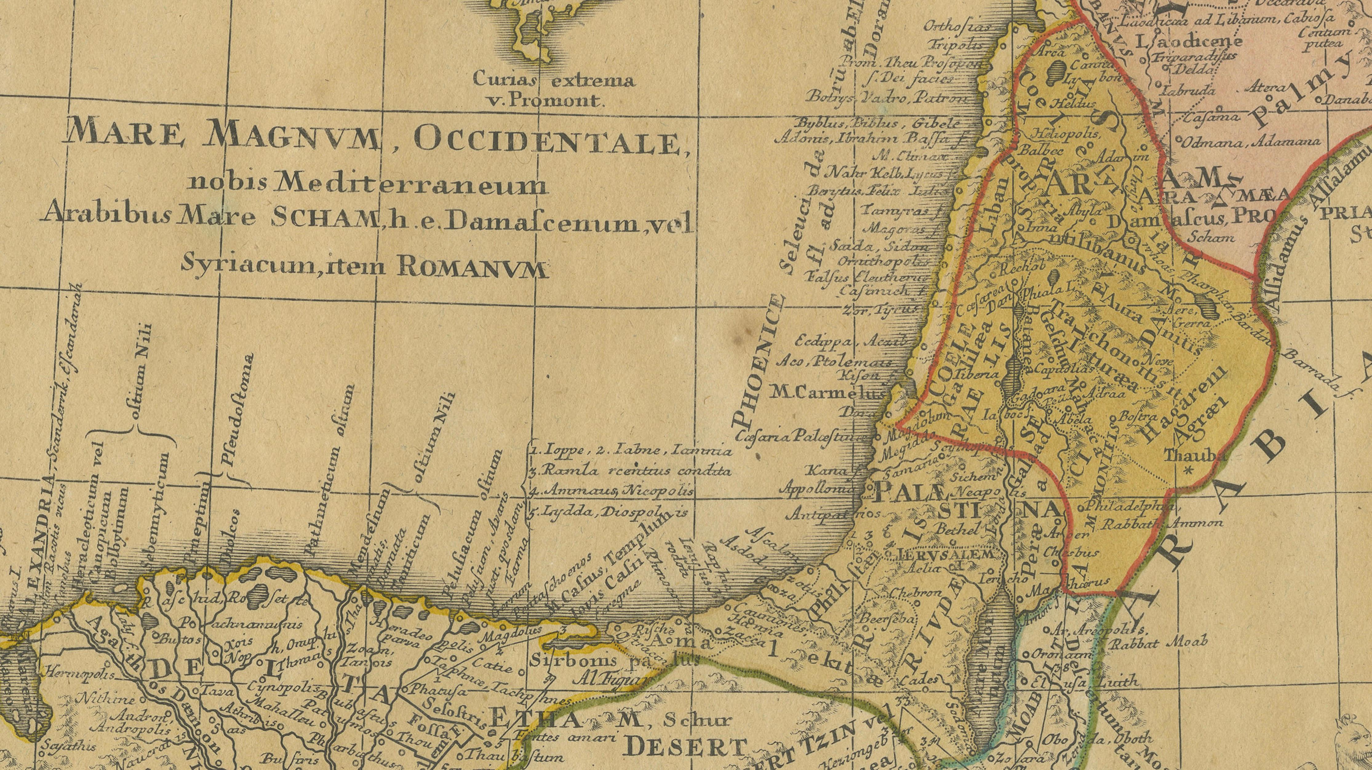
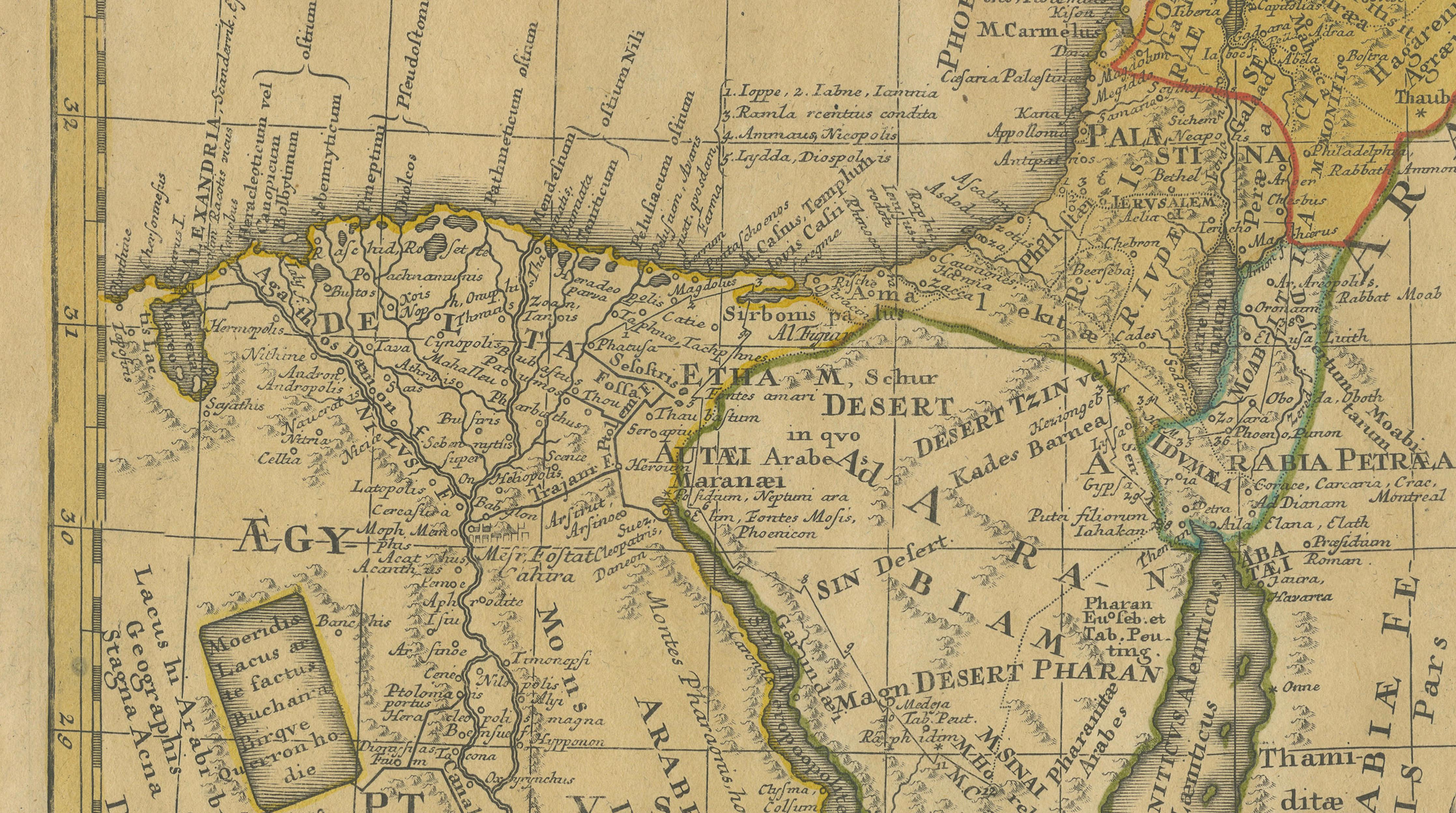
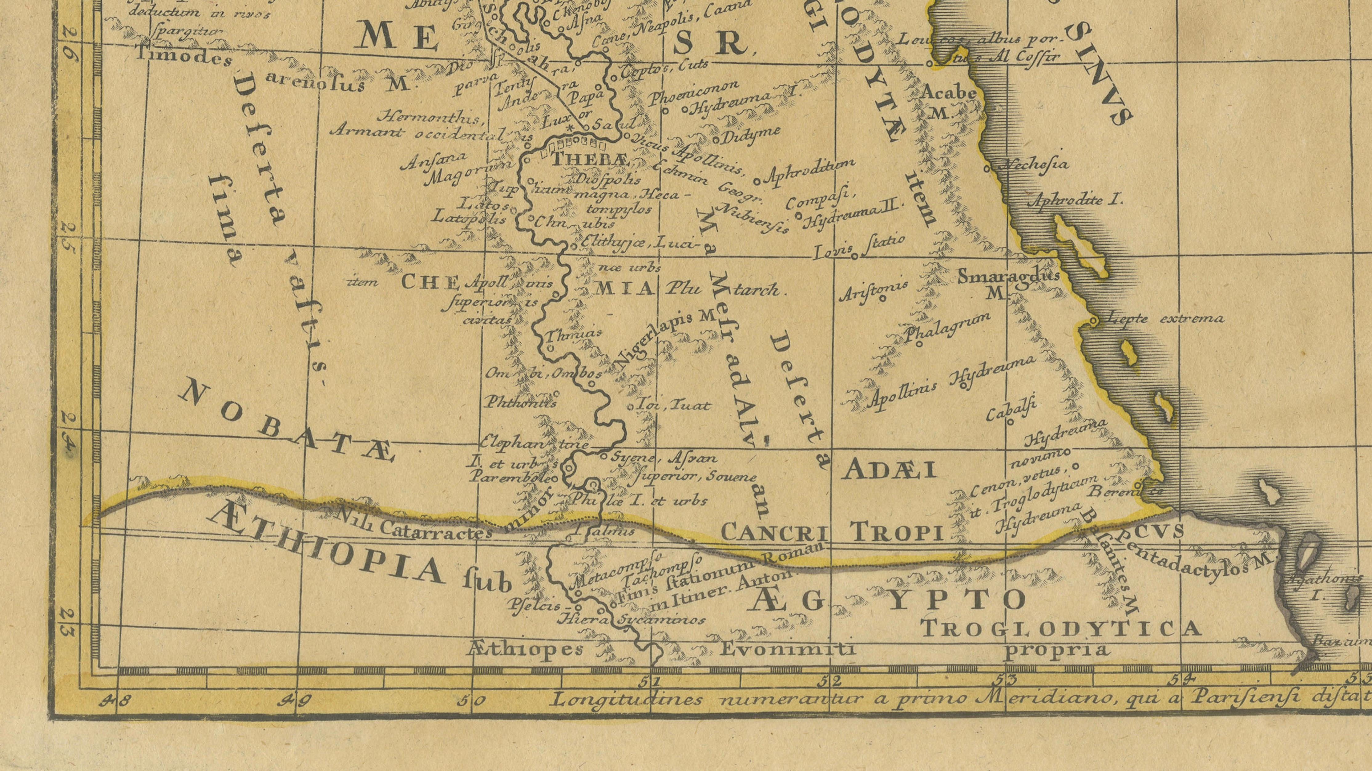
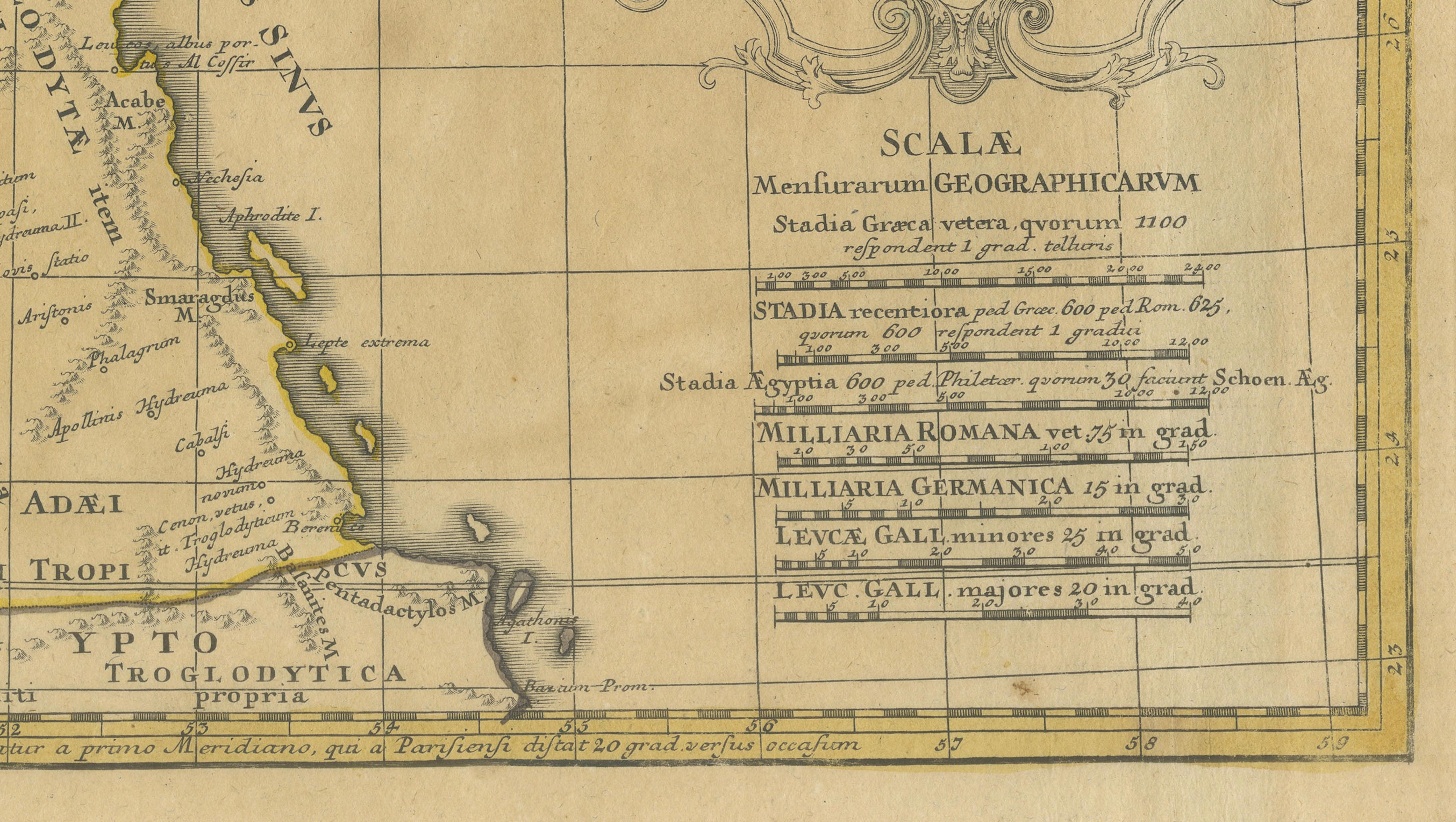
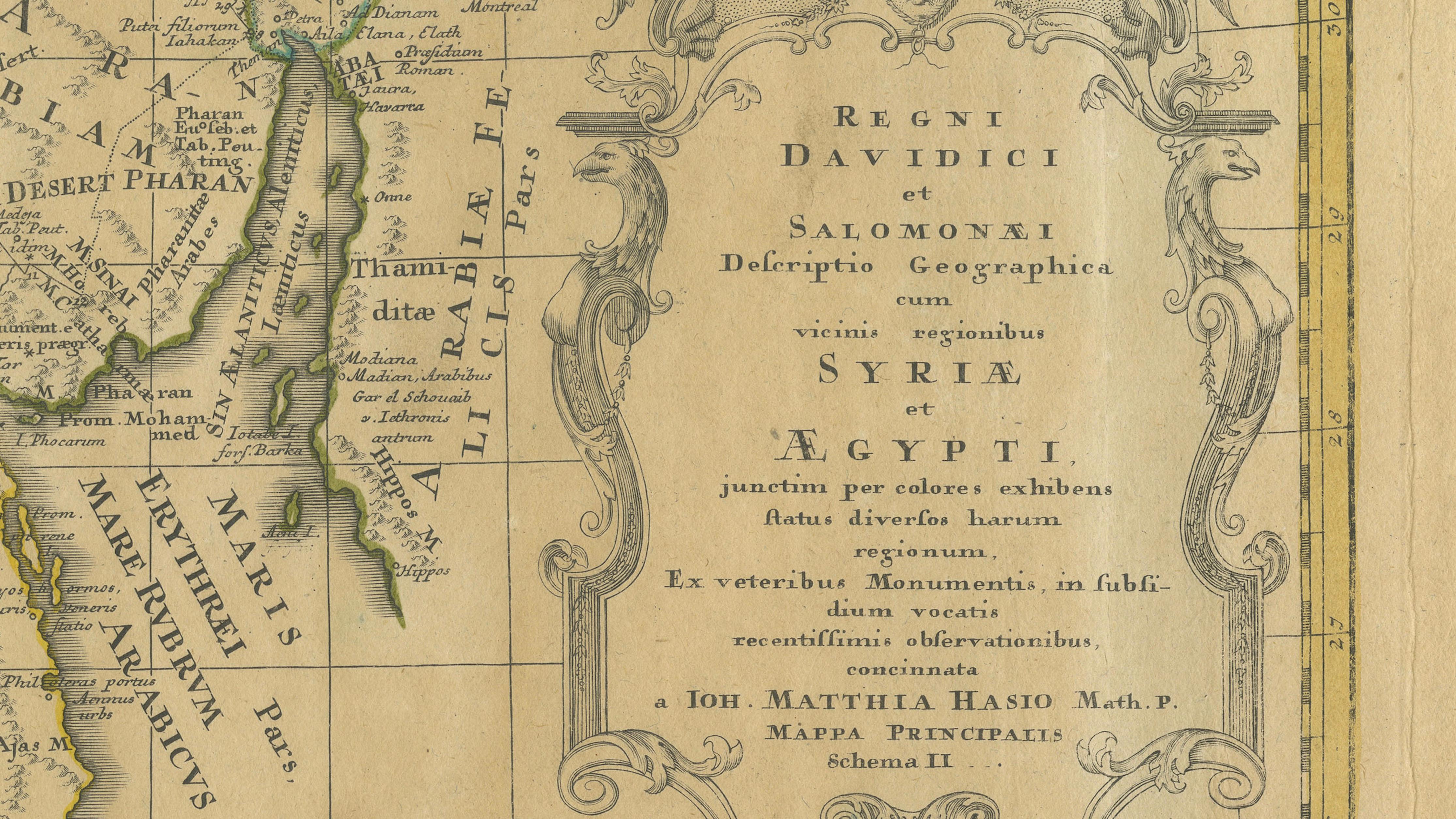
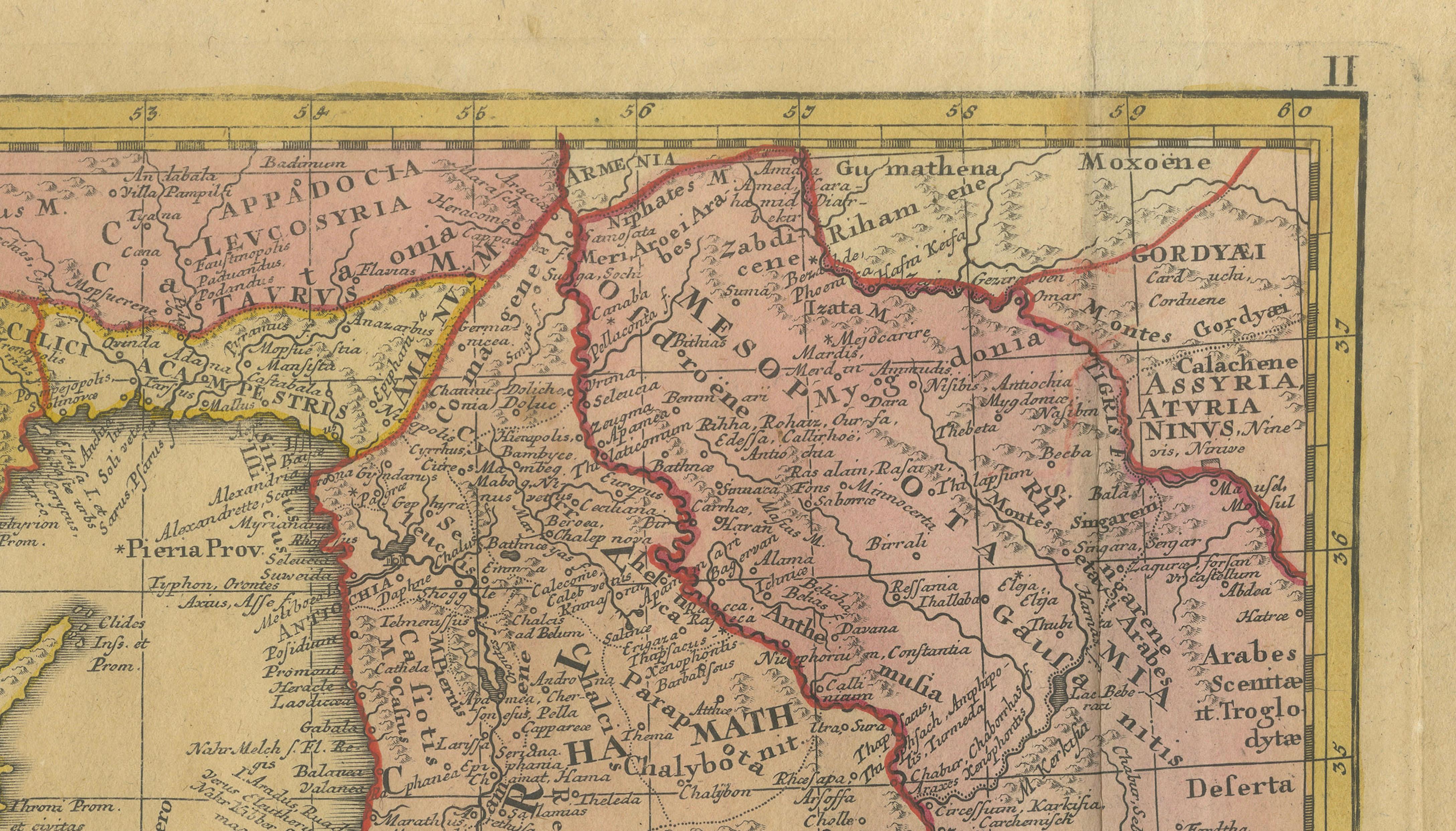
This original 18th-century engraved map titled Regni Davidici et Salomonaei Descriptio Geographica was created by Johann Matthias Hase and published in Nuremberg by the Homann Heirs around 1739. It presents a detailed geographical and historical representation of the biblical kingdoms of David and Solomon, extending across the Holy Land, Syria, and Egypt.
The composition reflects the intellectual rigor of early 18th-century German cartography, combining geographic mapping with scholarly interpretation. The main map illustrates the territorial divisions of the Twelve Tribes of Israel, while also placing these within a broader historical framework that includes neighboring regions and later political structures.
A particularly distinctive aspect of this work is the large accompanying panel on the right, filled with Latin explanatory text and schematic diagrams (“Schema I–III”). These elements transform the map into a hybrid between a visual object and a scholarly reference tool, intended for both study and display. This dual purpose is characteristic of Hase’s work, which is known for its academic depth rather than purely decorative appeal.
The engraving is executed with clarity and precision, enhanced by original hand coloring that distinguishes the various regions. The decorative cartouche and structured layout provide a strong visual presence, while the textual panel adds depth and rarity compared to more conventional atlas maps.
Maps by Hase are increasingly appreciated among collectors of biblical cartography and early historical geography, particularly those seeking pieces that combine visual appeal with scholarly significance.
Note: Interior mockups shown are for visual inspiration only and do not represent the exact scale. We do not sell reproductions, only original works of art over 100 years old.
Condition: Fair condition. The sheet shows age toning, foxing, and general wear consistent with age and handling. Central fold as issued. Several small wormholes are present, typical for 18th-century paper, none significantly affecting the main image. The paper remains stable overall, and the engraving and original hand coloring are still clearly visible.
Framing tips: Best displayed with a generous ivory mount to visually minimize condition imperfections. A darker wood or walnut frame enhances contrast and brings out the hand coloring, making it well suited for a study or library interior.
Technique: Copperplate engraving with original hand coloring Maker: Johann Matthias Hase, published by Homann Heirs, Nuremberg, circa 1739