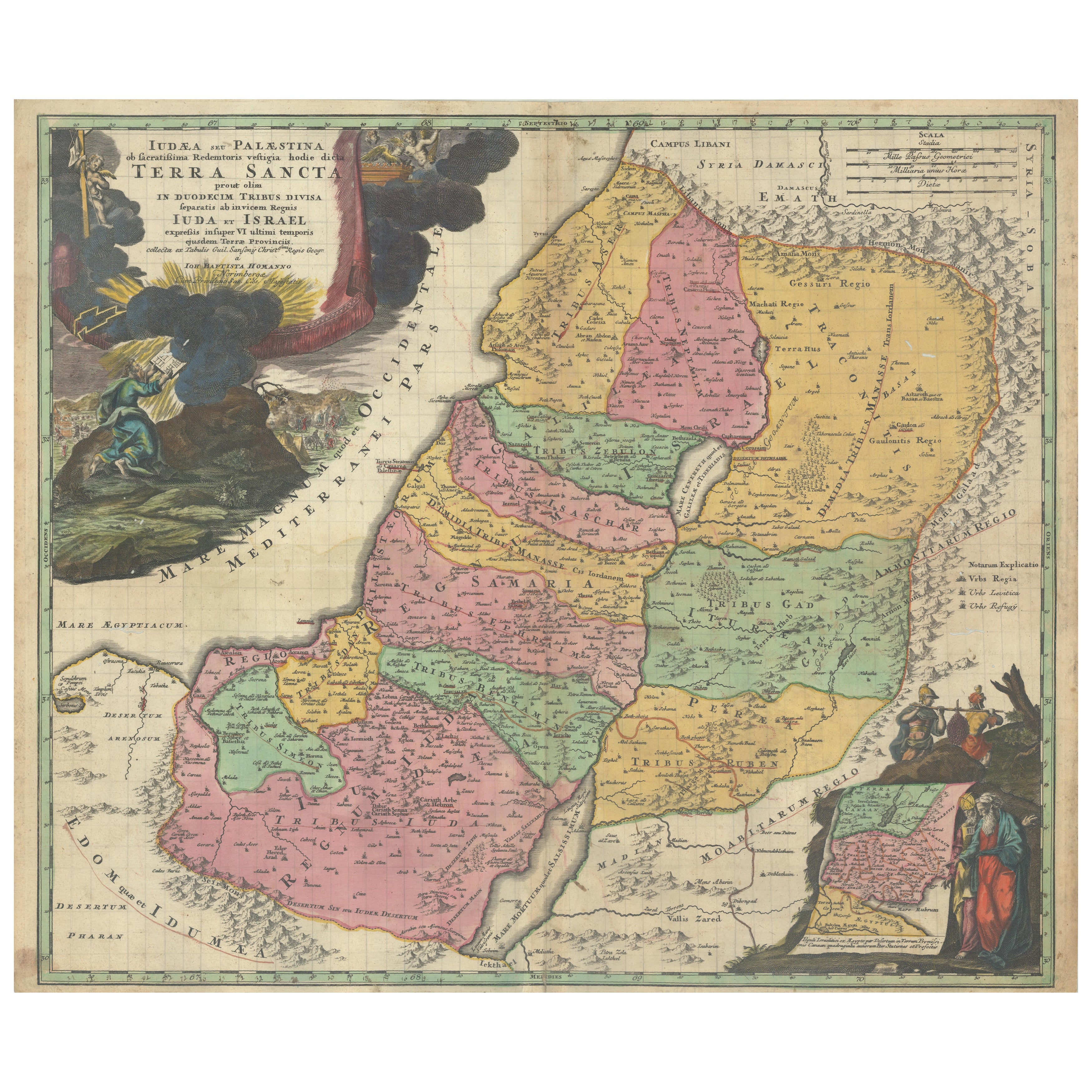
Hand-Colored Map of the Holy Land Divided Among the Twelve Tribes, c.1720
€ 640
One of a kind: this is the sheet in the photographs. Ships from Langweer, the Netherlands.
Date
1720
Sheet size
49 × 57.2 cm (19.3 × 22.5 in)
Condition
Fair
Reference
BG-14114
Condition
A strong, dark impression with original hand coloring in the main map and later enhancement in the cartouches. Minor toning and light soiling along the centerfold, with approximately a dozen small wormhole tracks scattered in the image area.
About this sheet
Hand-Colored Map of the Holy Land Divided Among the Twelve Tribes, c.1720
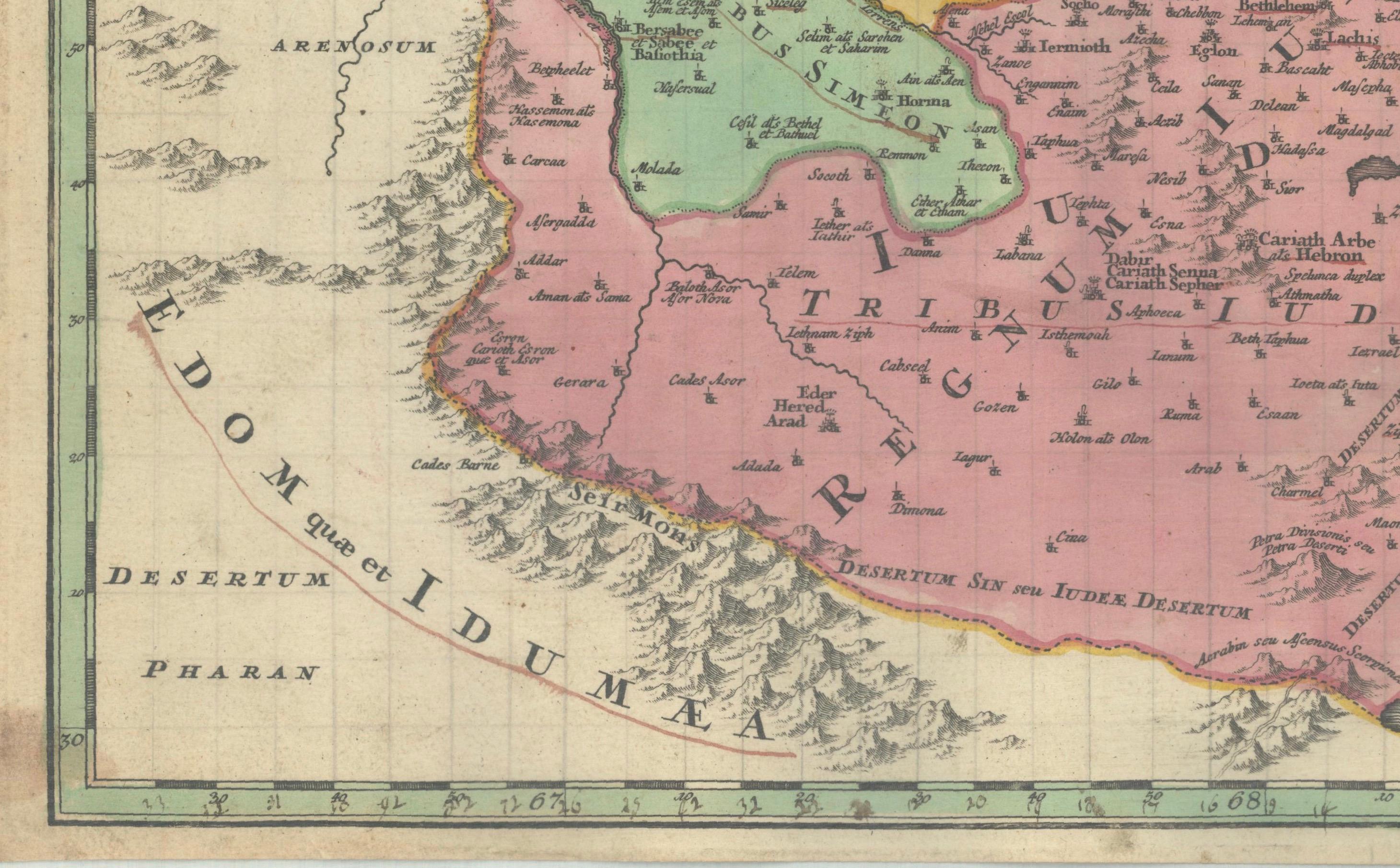
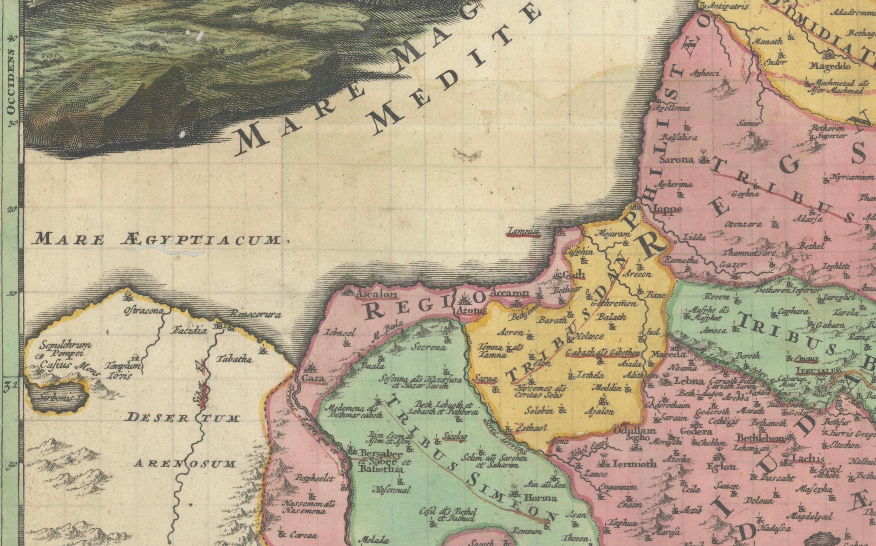
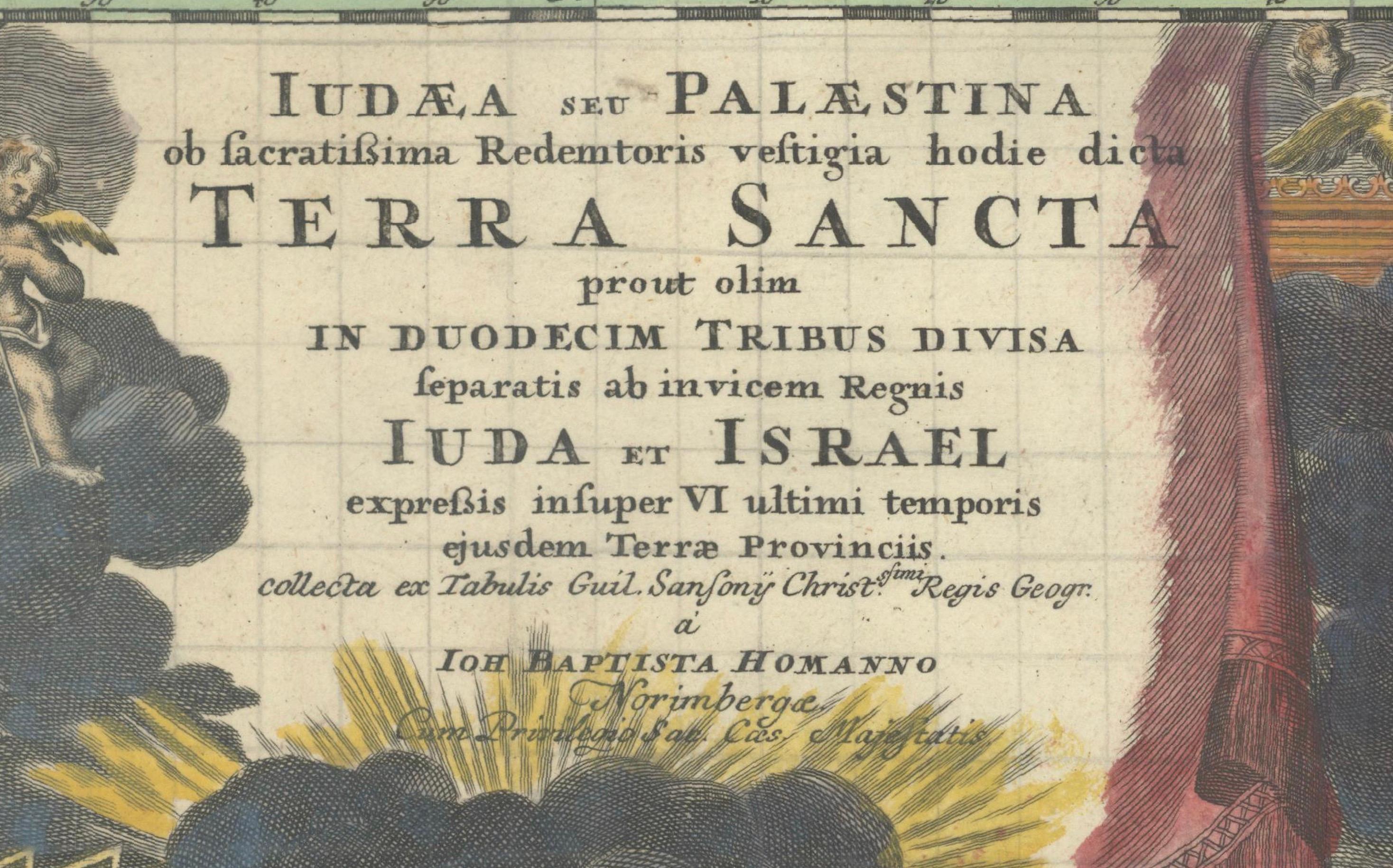
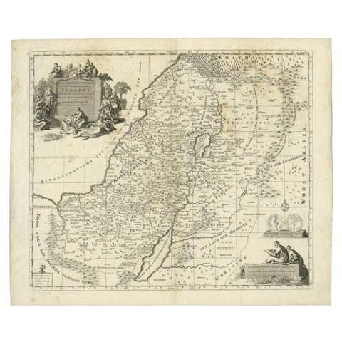
This striking antique map, titled "Iudaea seu Palaestina ob Sacratissima Redemtoris Vestigia Hodie Dicta Terra Sancta Prout olim in Deodecim Tribus Divisa Separatis ab Invicem Regnis Iuda et Israel", was created circa 1720 by Johann Baptist Homann, one of the most prominent German mapmakers of the early 18th century. The map offers a detailed and vivid depiction of the Holy Land, meticulously divided according to the twelve tribes of Israel.
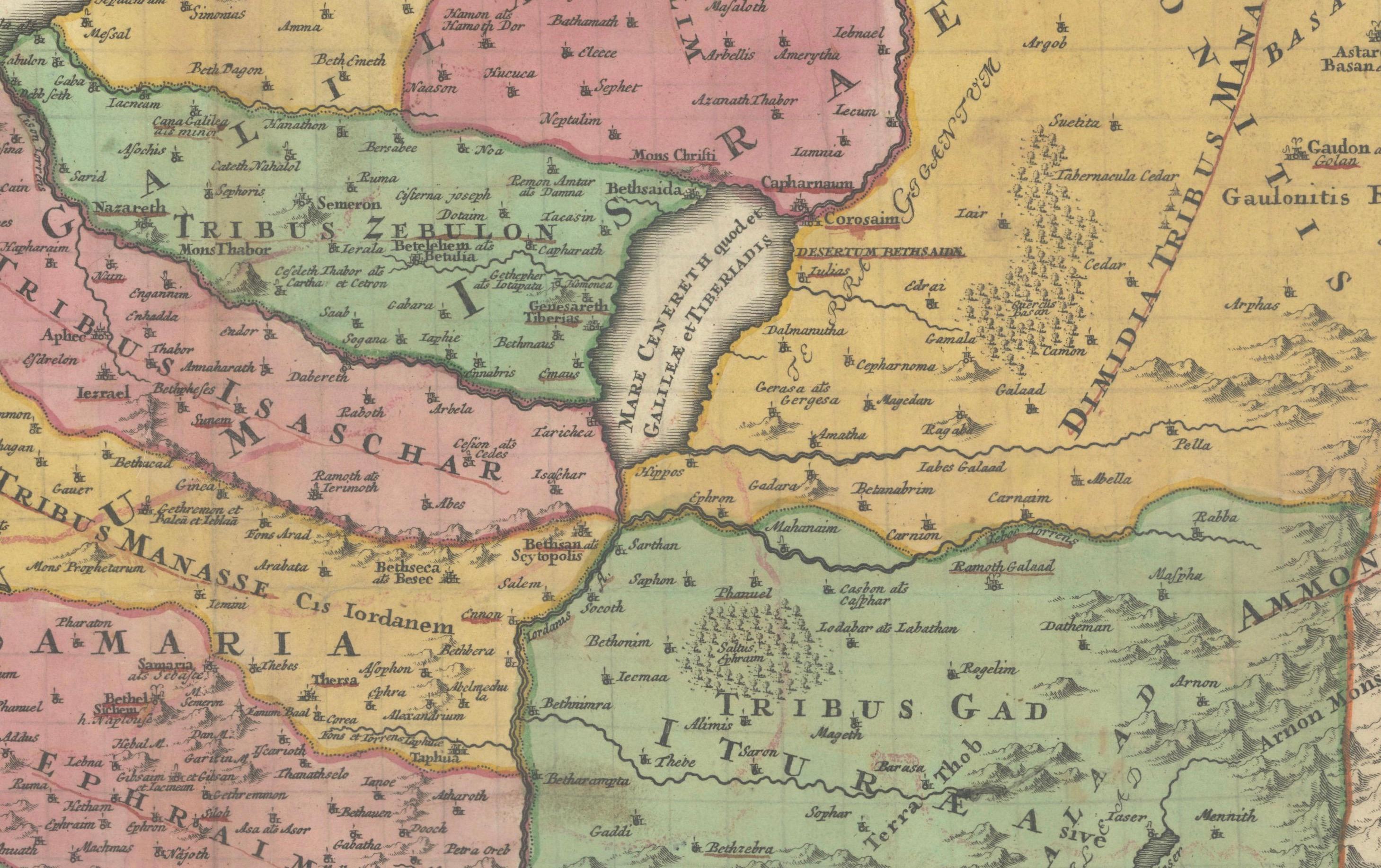
Covering the region from Sidon in the north to the desert of Sirbonis in the south, the map is based on earlier cartographic work by Guillaume Sanson. It includes notable geographic elements such as the Kishon River, which is curiously depicted as linking the Mediterranean Sea with the Sea of Galilee—an imaginative interpretation typical of early biblical cartography.
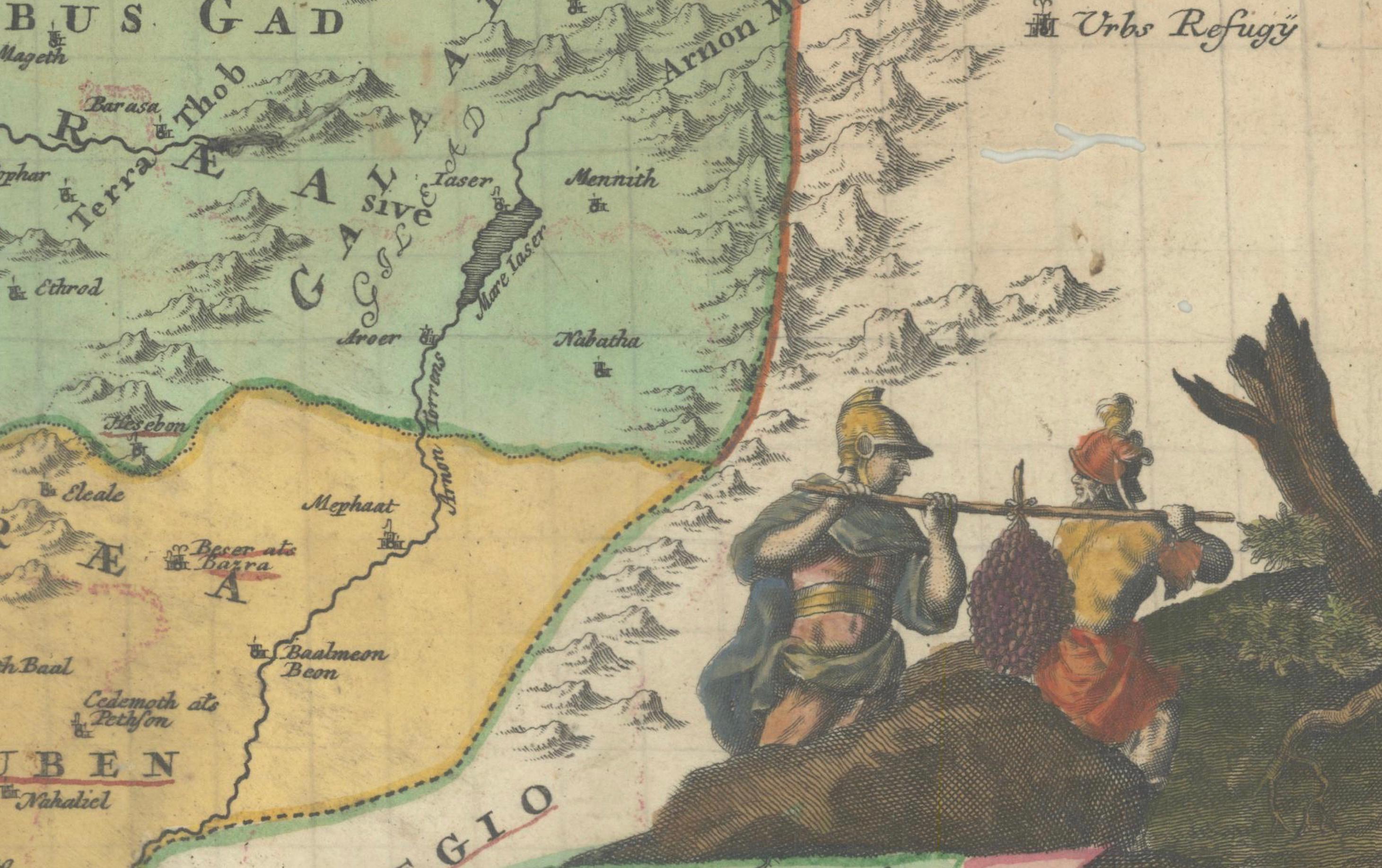
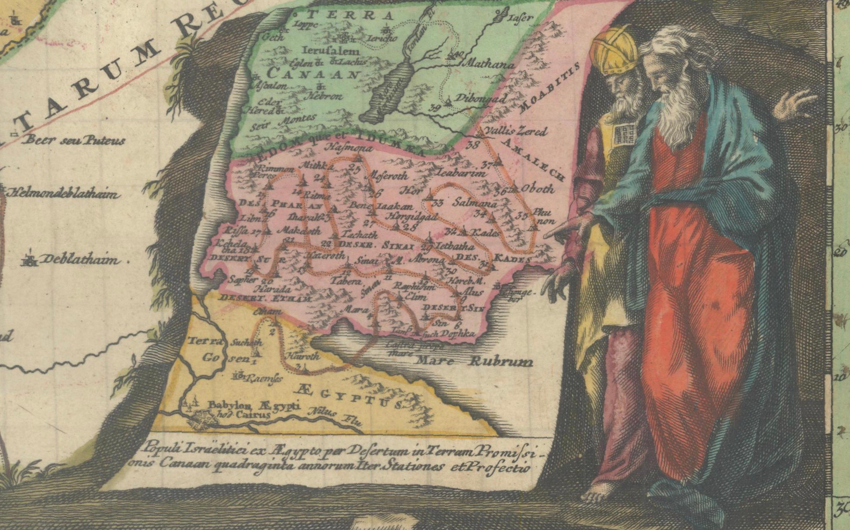
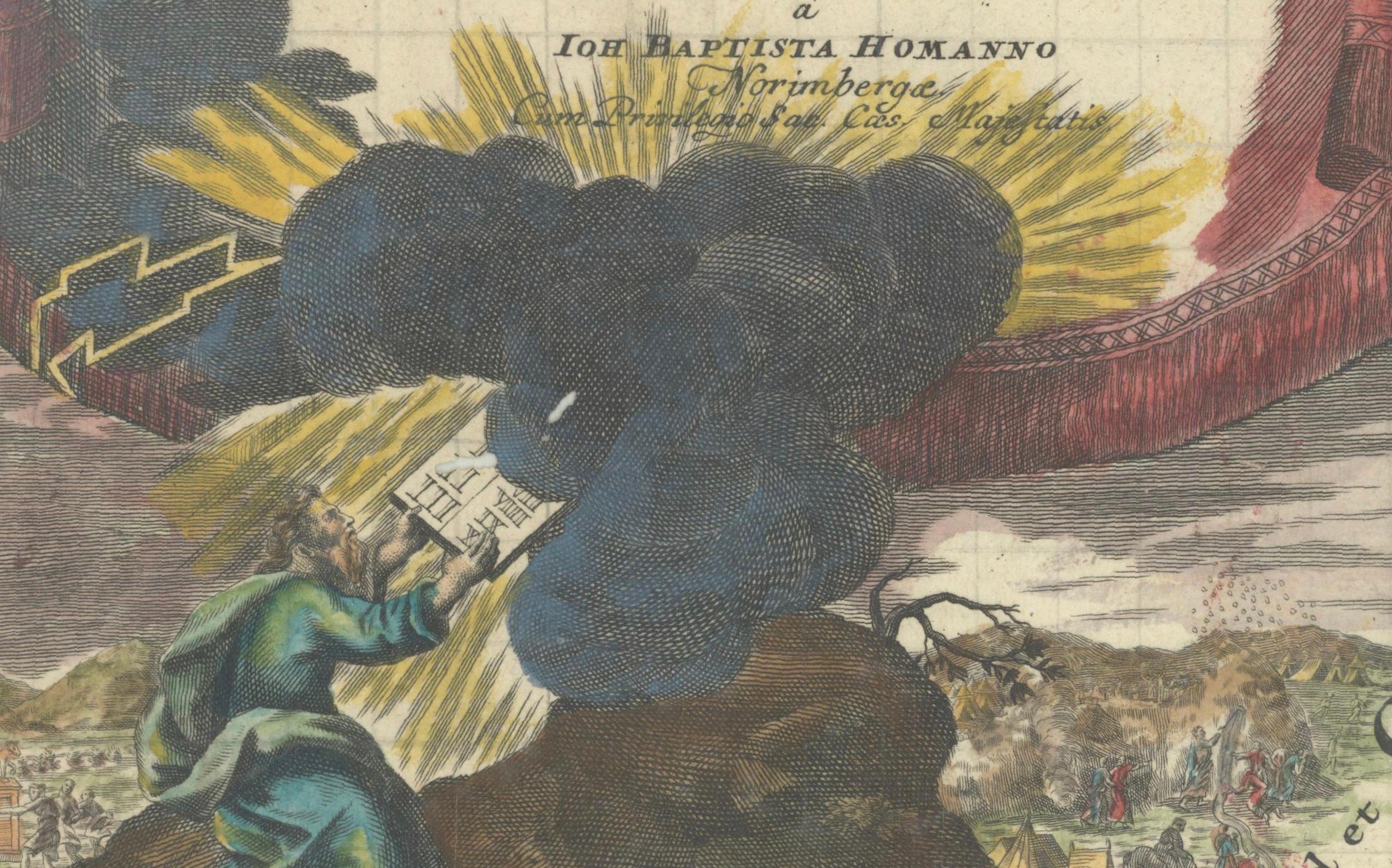
Homann’s engraving is visually enriched by two highly decorative vignettes. In the upper left, a dramatic scene shows Moses on Mount Sinai receiving the Ten Commandments amidst clouds and divine lightning. In the lower right corner, an inset map traces the route of the Exodus and Forty Years in the Wilderness. This inset is framed by figures of Moses, Aaron, and two of the twelve spies carrying a large cluster of grapes—symbolizing the bounty of the Promised Land.
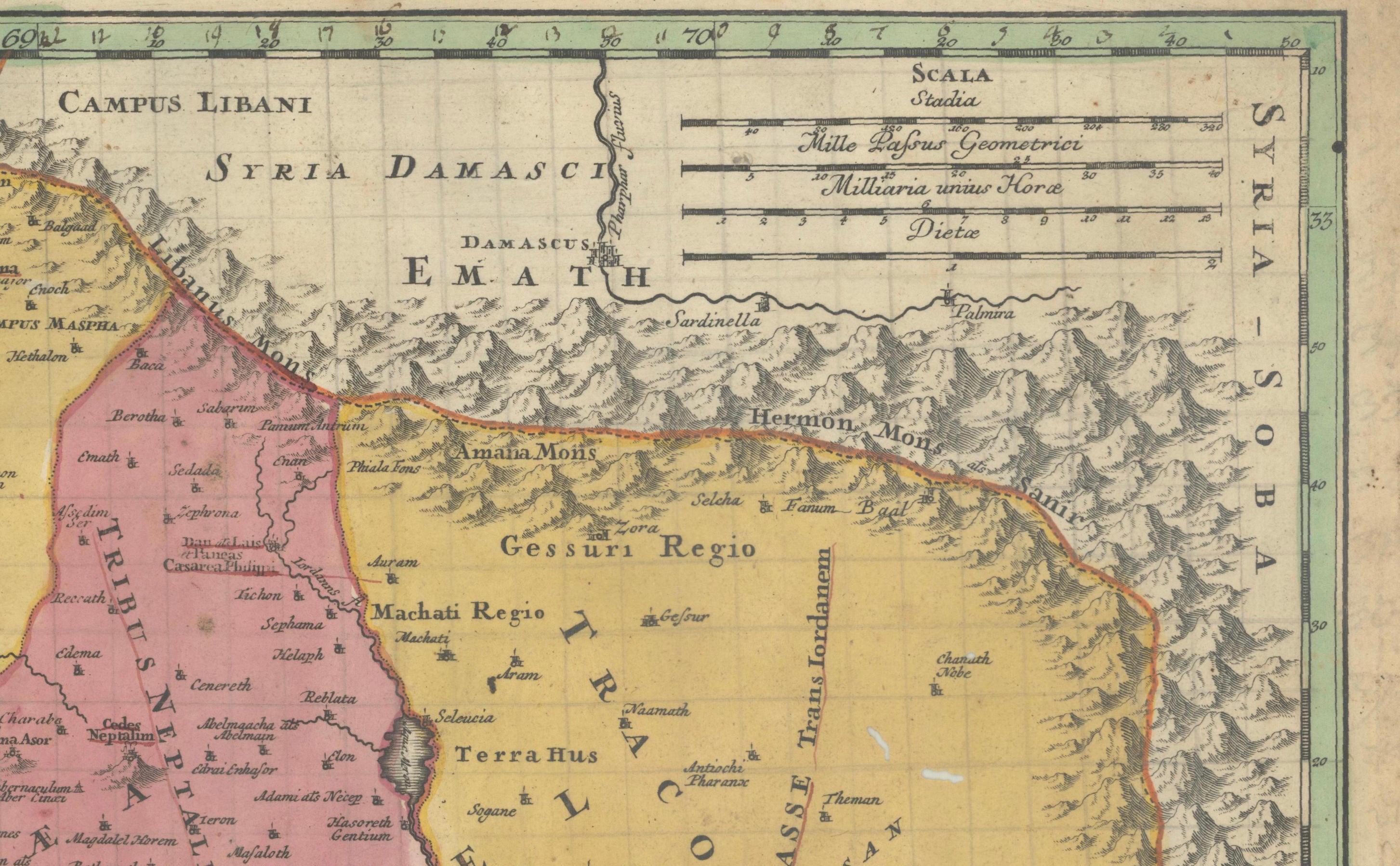
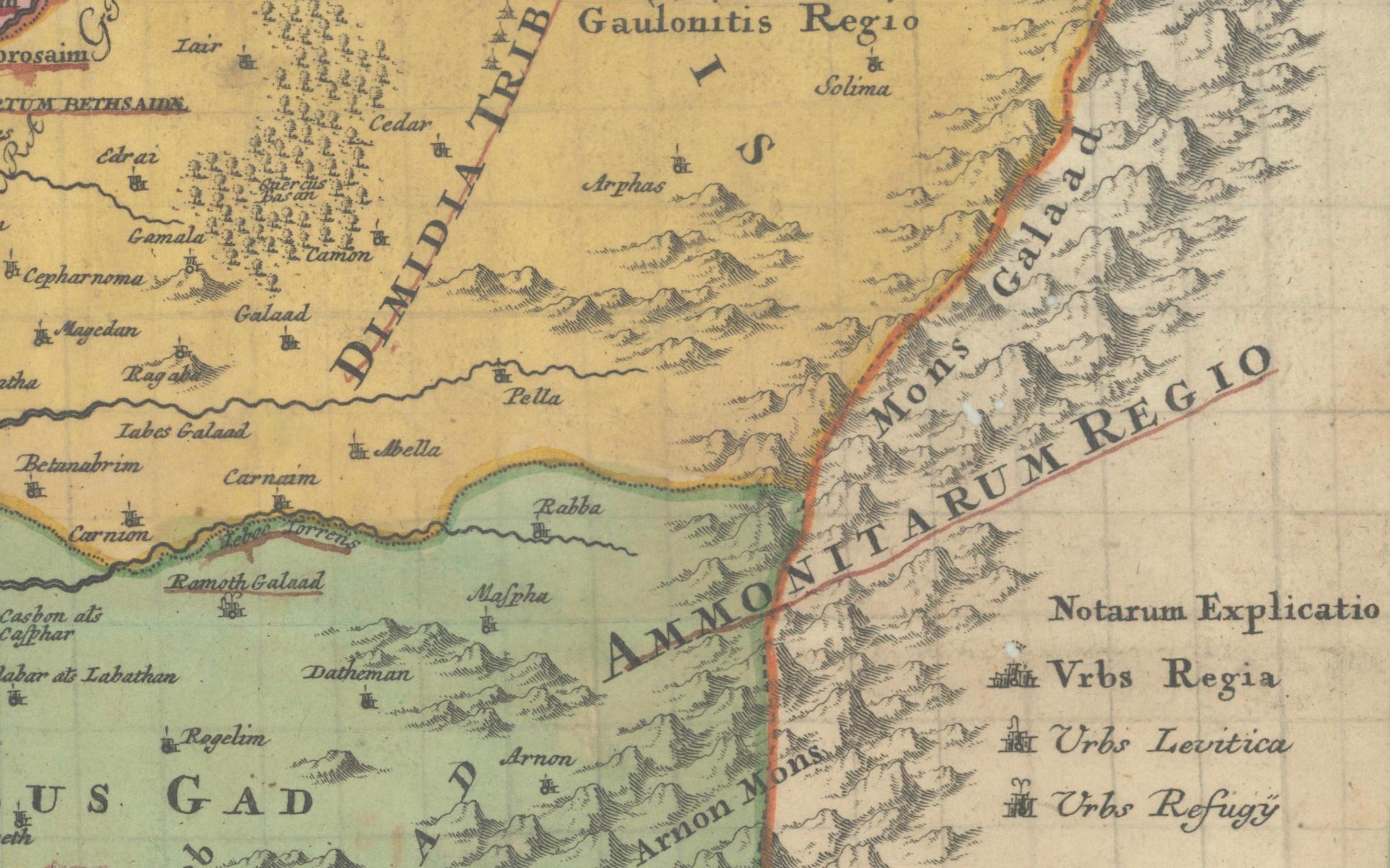
The map’s original color remains within the main body, delineating the tribal territories in a pastel palette of pinks, yellows, and greens. The cartouches and vignette scenes feature later hand-coloring that adds vivid contrast to the composition. The typography and Latin place names further emphasize the scholarly and theological intent behind this historical map.
Homann's works are prized for their decorative appeal and rich symbolism, making this map a compelling piece for collectors of biblical history, Judaica, or antique cartography.
Condition Report: A strong, dark impression with original hand coloring in the main map and later enhancement in the cartouches. Minor toning and light soiling along the centerfold, with approximately a dozen small wormhole tracks scattered in the image area. Pencil graticule grid added by a previous owner. Paper generally strong and stable.
Framing Tips: This map would benefit from an elegant gold or walnut-colored frame to enhance the 18th-century aesthetic. Use an off-white or cream archival mat to highlight the pastel hand coloring. Consider a museum-grade UV protective glass to preserve the pigments and prevent further toning.
Technique: Engraving with hand color Maker: Johann Baptist Homann, Nuremberg, circa 1720