Maps & PrintsBartele Gallery · Langweer
Home / Antique Maps / Asia / West Asia & the Holy Land

West Asia & the Holy Land · 18th century

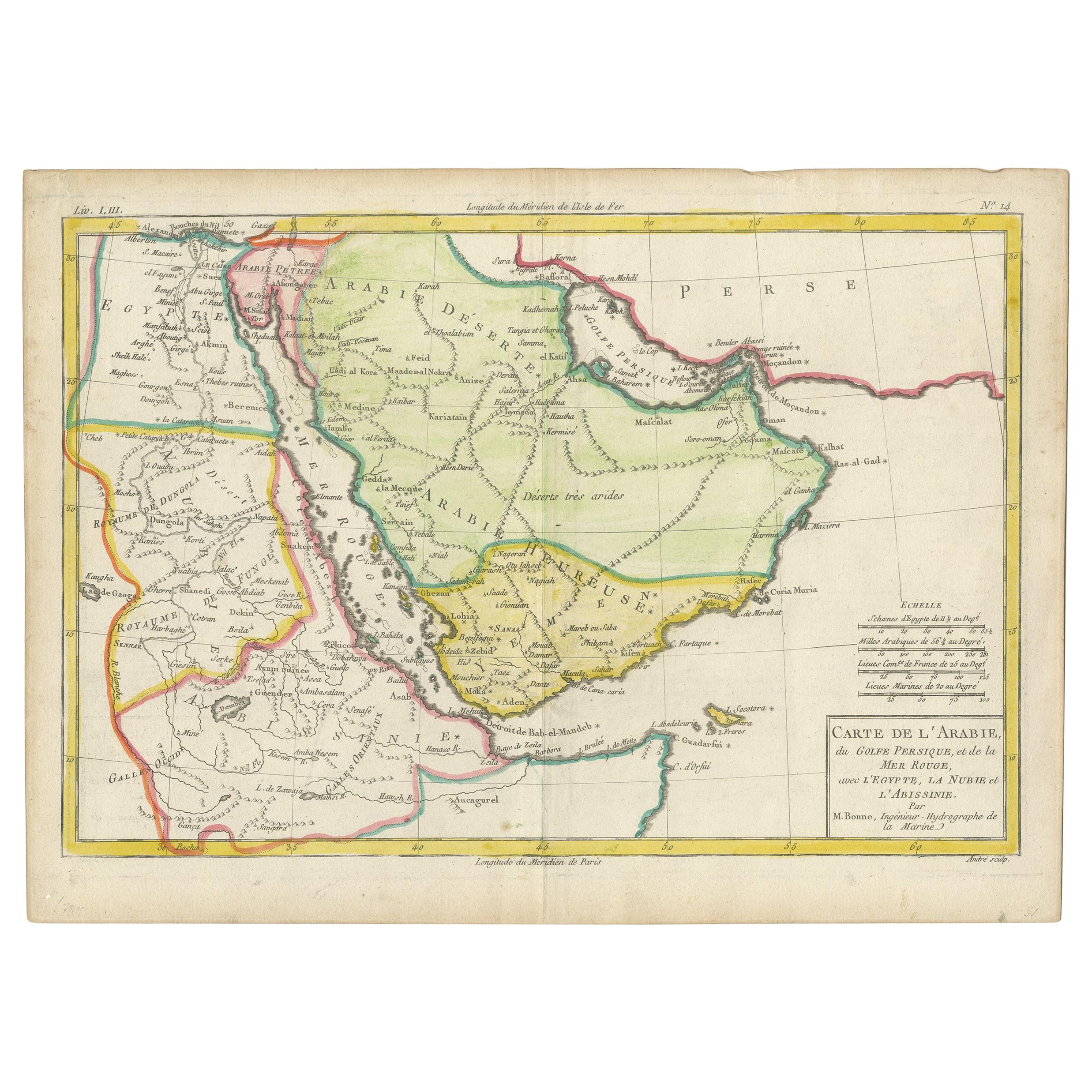
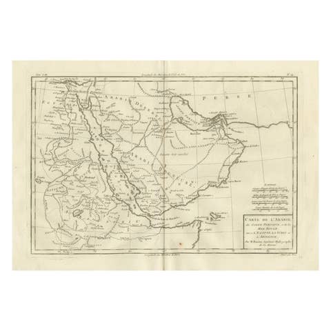
Antique Map of the Arabian Peninsula by Bonne 'c.1780'

€ 650

One of a kind: this is the sheet in the photographs. Ships from Langweer, the Netherlands.

Date
1780
Sheet size
25 × 34.5 cm (9.8 × 13.6 in)
Condition
Good
Reference
BG-12949-4

Condition

Original foling line. Genral age-related toning. Shows some wear and creasing, blank verso. Later hand coloring. Few tiny defects in margins. Please study image carefully.

About this sheet

Antique map titled 'Carte de l'Arabie, du Golfe Persique, et de la Mer Rouge (..)'. Original antique map of the Arabian Peninsula, including the horn of Africa and part of Southwest Iran. Pictorial elevations rendered throughout as well as town names, rivers and lakes. This map originates from 'Atlas de toutes les parties connues du globe terrestre' by R. Bonne. Published circa 1780.

More from West Asia & the Holy Land

Ask about this sheet

Antique Map of the Arabian Peninsula by Bonne 'c.1780'
1780 · Ref. BG-12949-4 · € 650
We reply by email, usually within one working day.