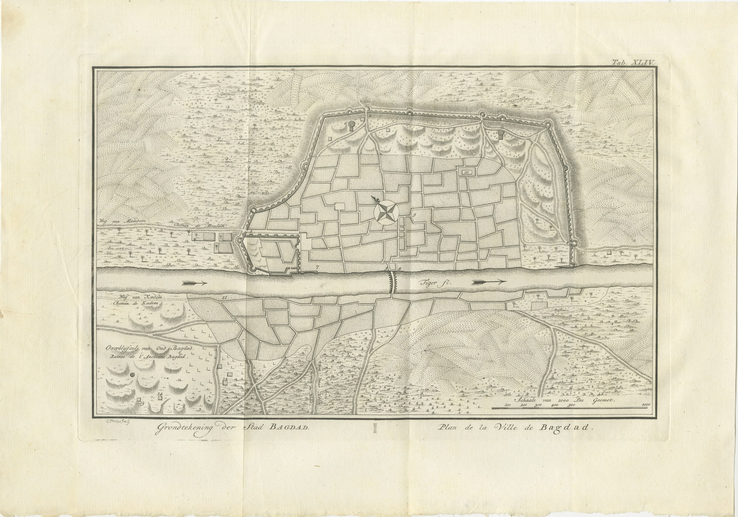
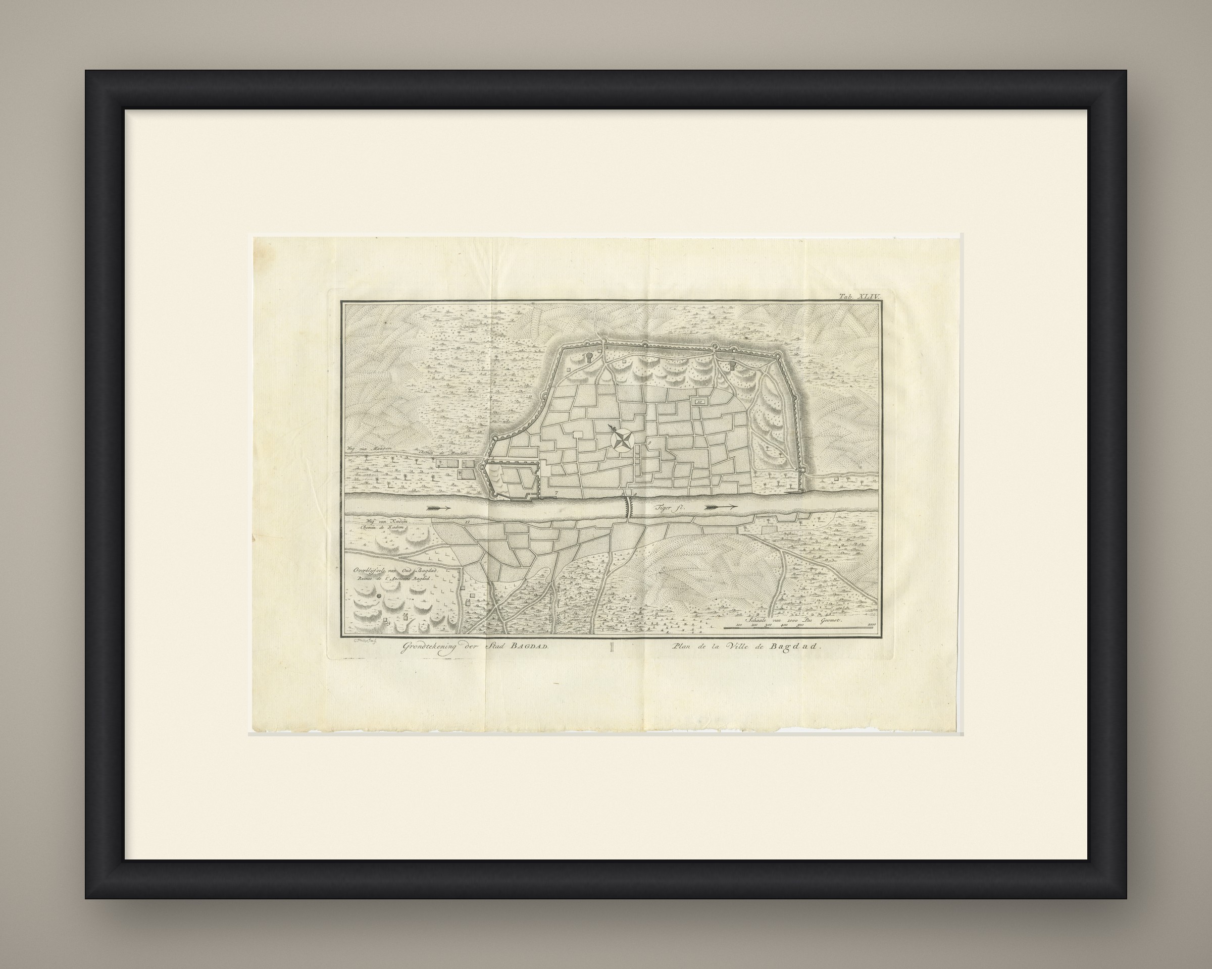
Antique Plan of the City of Baghdad, Niebuhr Engraving, 1780
€ 150
Original antique · The actual sheet photographed · Certificate of authenticity on request · Sold unframed · Worldwide shipping from € 15 (rates)
Date
1780
Mapmaker / artist
Carsten Niebuhr; engraved by C. Philips Jac.
Publisher
S. J. Baalde, Amsterdam, and Barthelemy Wild, Utrecht
Technique
Copper engraving
Coloring
Uncolored
Sheet size
27.5 × 39 cm (10.8 × 15.4 in)
Condition
Good
Reference
BG-14407-2-44
What the condition grades mean
Excellent
Bright and clean, with no faults worth mentioning.
Very good
Only light signs of age, such as faint toning.
Good
Normal signs of age for a sheet of this period: toning, some foxing, small marks or neat old repairs.
Fair
Clear faults such as staining, tears or repairs, priced to match.
Every fault we see is written in the condition note, and the whole sheet is shown uncropped in the photos.
Condition
Light uneven toning, browner toward the edges. Scattered light foxing in the margin. Folding plate, original folds as issued. Slight wear at the bottom right corner. Minor edge wear, shallow nicks along the bottom and right.
About this sheet
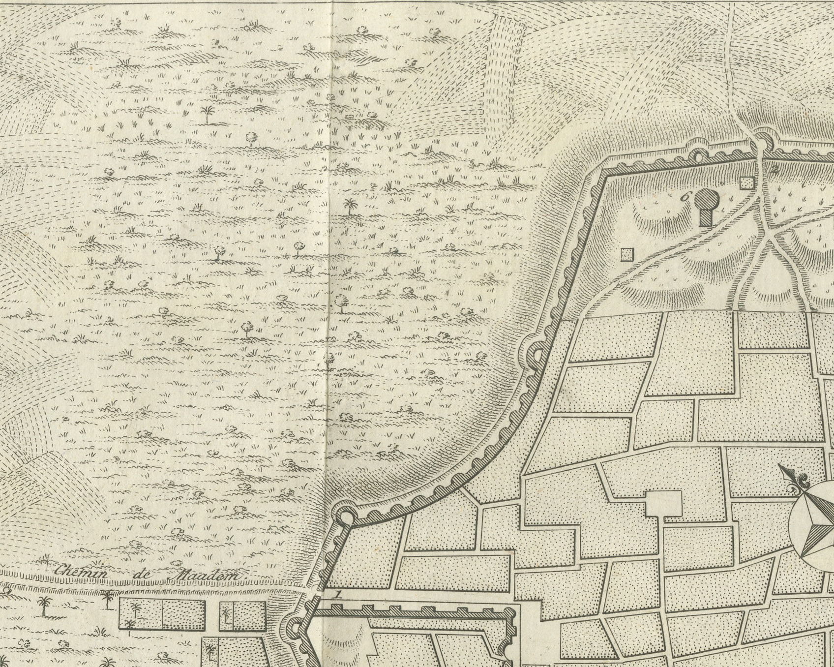
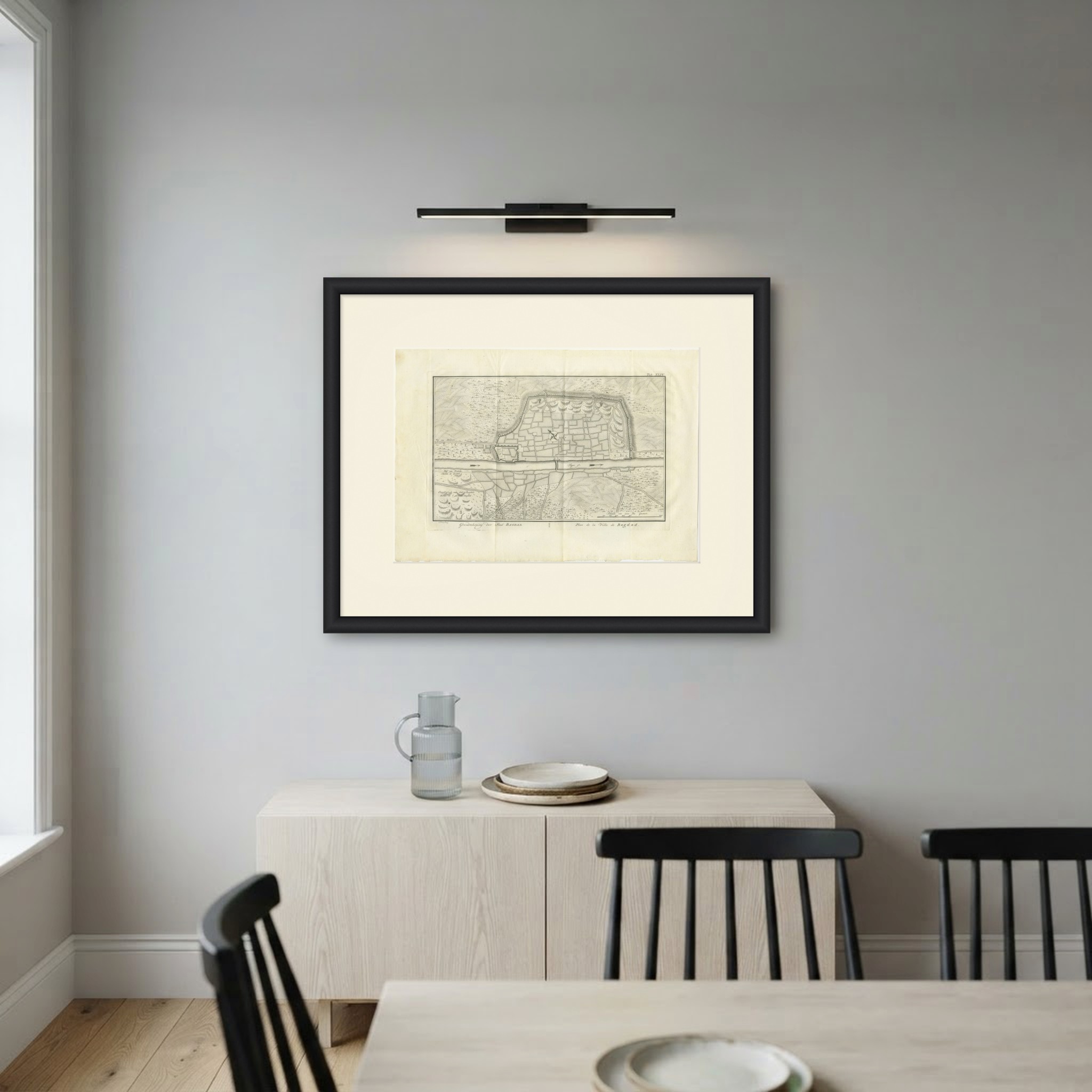
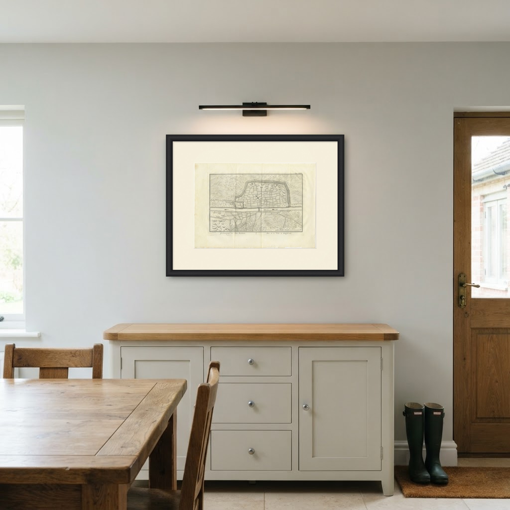
An original antique copper engraving, published in 1780, a folding plate with a plan of Baghdad on both banks of the Tigris. The caption engraved in the lower margin reads Grondtekening der Stad BAGDAD. in Dutch and Plan de la Ville de Bagdad. in French, both meaning "Plan of the City of Baghdad".
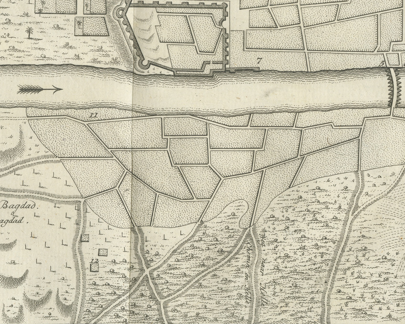
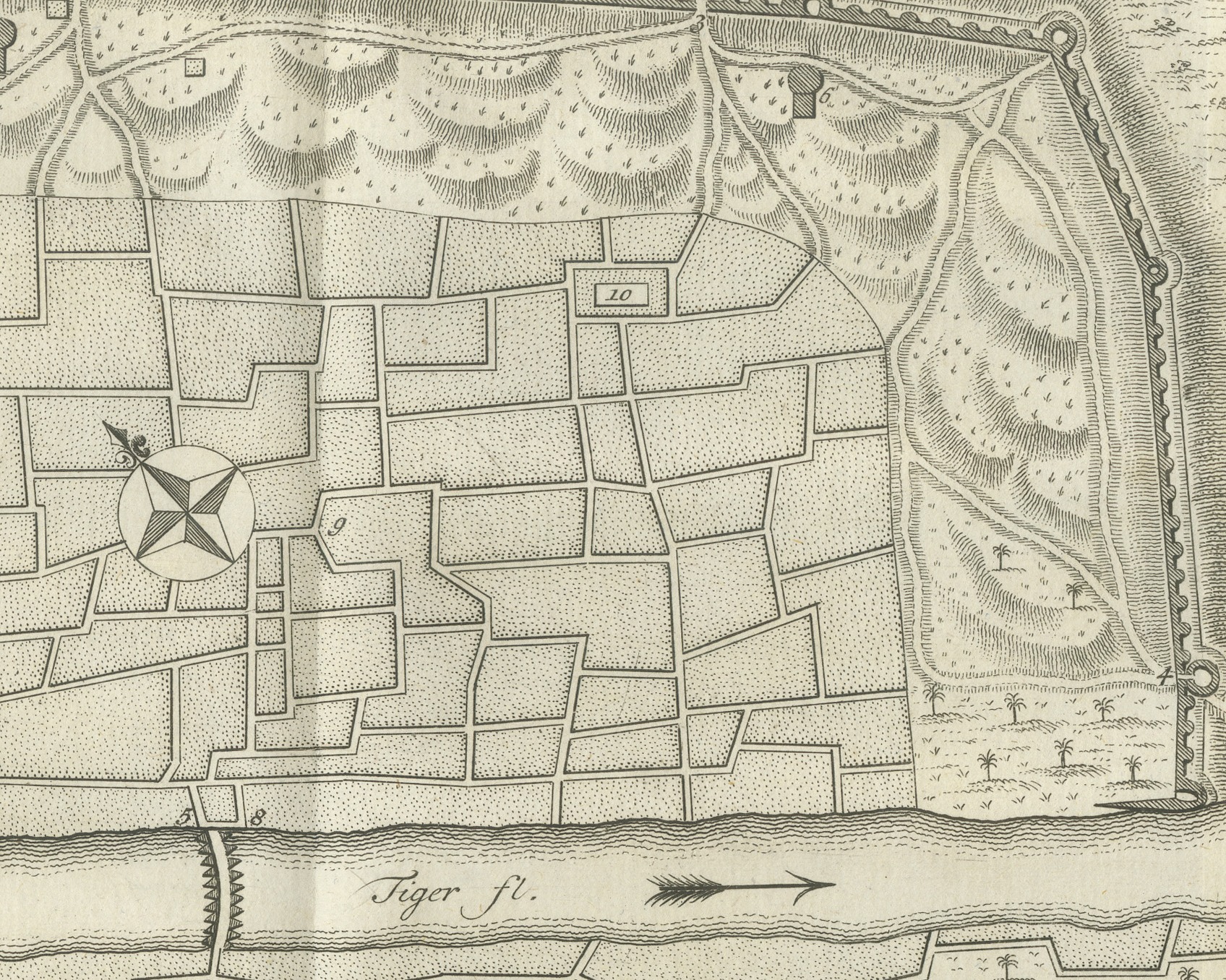
The river, lettered Tiger fl., crosses the sheet from left to right, with arrows showing the direction of flow and a bridge of boats drawn across it at the center. Above the river the main city lies within a long wall set with round towers, its streets and blocks drawn as a close network, a compass rose in the middle and a small walled enclosure at the left end beside the river. Numbers key the gates, towers and buildings. Below the river the smaller quarter is laid out among gardens and fields. At the left the roads are lettered Weg van Maadem and Chemin de Maadem above the river and Weg van Kadem and Chemin de Kadem below it, and the mounds at the lower left are lettered Overblijfzels van Oud Bagdad and Ruines de l'Ancienne Bagdad, "remains of old Baghdad". A scale of 1000 paces is lettered Schaale van 1000 Pas Geomet. at the lower right.
The plate number Tab. XLIV. is engraved at the upper right, and the engraver's credit C. Philips, Jac: f. is lettered below the lower left corner of the image.
This sheet belongs to volume two of Niebuhr's Voyage en Arabie, translated from the German (Traduit de l'Allemand) and published at Amsterdam by S. J. Baalde and at Utrecht by Barthelemy Wild in 1780. Carsten Niebuhr (1733 to 1815), a German born surveyor in Danish service, was the only member of the Danish expedition to Arabia (1761 to 1767) to return alive. The expedition's artist, Georg Wilhelm Baurenfeind, died at sea in 1763.
Light uneven toning, browner toward the edges. Scattered light foxing in the margin. Folding plate, original folds as issued. Slight wear at the bottom right corner. Minor edge wear, shallow nicks along the bottom and right.
This is an original antique print, not a modern reproduction. This item is sold unframed. Any framed or interior images are shown for presentation and inspiration only, unless the listing explicitly states that the item is sold framed.