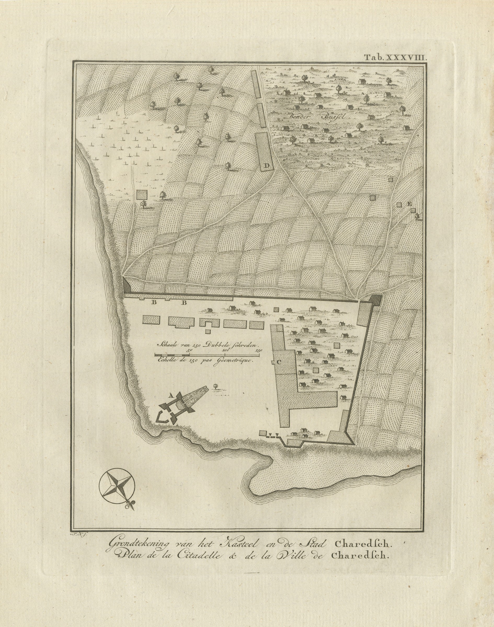
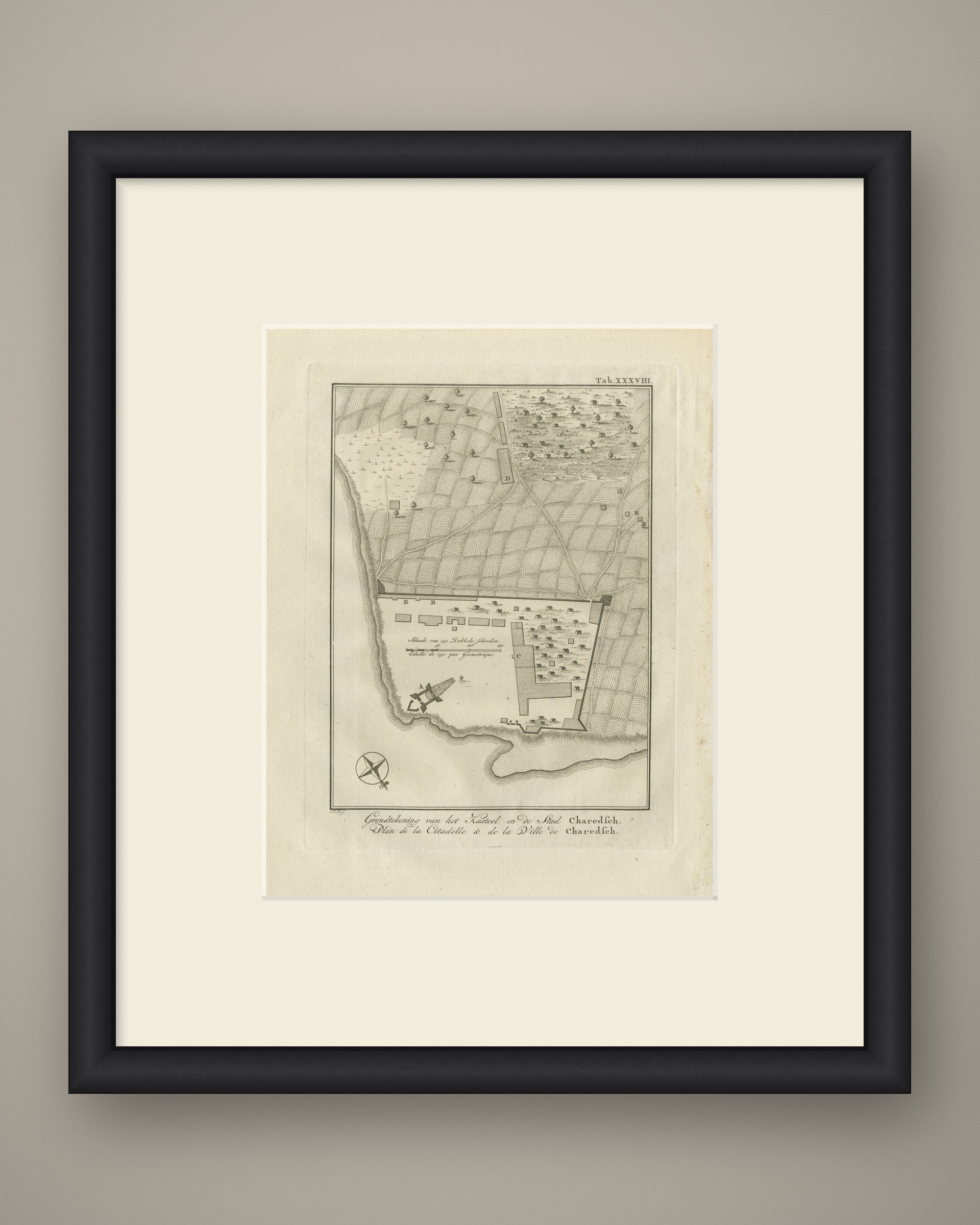
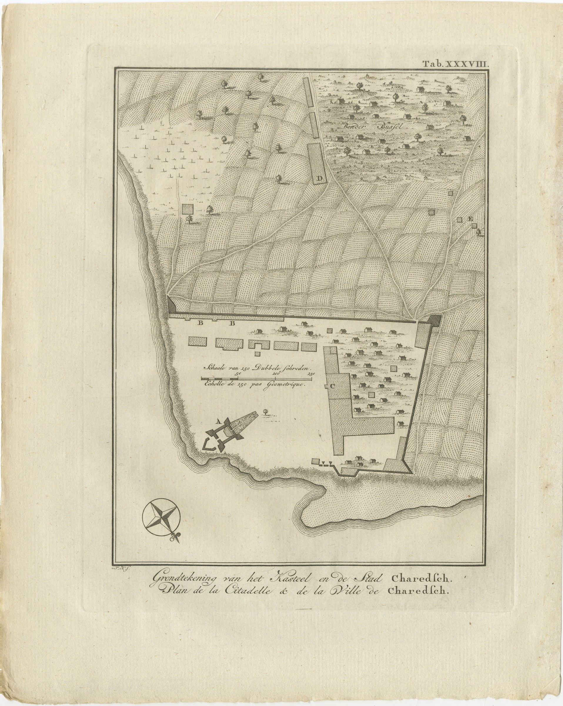
Plan of the Citadel and Town of Kharg Island, Antique Print, 1780
€ 295
Original antique · The actual sheet photographed · Certificate of authenticity on request · Sold unframed · Worldwide shipping from € 15 (rates)
Date
1780
Mapmaker / artist
Carsten Niebuhr; engraved by T. K.
Publisher
S. J. Baalde, Amsterdam, and Barthelemy Wild, Utrecht
Technique
Copper engraving
Coloring
Uncolored
Sheet size
28 × 22.5 cm (11.0 × 8.9 in)
Condition
Good
Reference
BG-14407-2-38
What the condition grades mean
Excellent
Bright and clean, with no faults worth mentioning.
Very good
Only light signs of age, such as faint toning.
Good
Normal signs of age for a sheet of this period: toning, some foxing, small marks or neat old repairs.
Fair
Clear faults such as staining, tears or repairs, priced to match.
Every fault we see is written in the condition note, and the whole sheet is shown uncropped in the photos.
Condition
Light uneven toning, browner toward the edges. Marked handling soiling along all four edges. Scattered light foxing in the margin. Wear at the bottom left and bottom right corners. Minor edge wear, shallow nicks along the bottom.
About this sheet
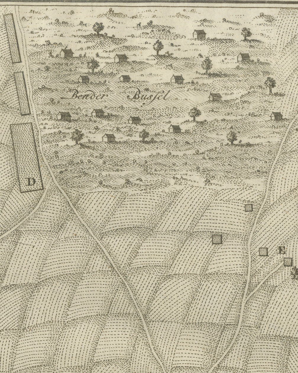
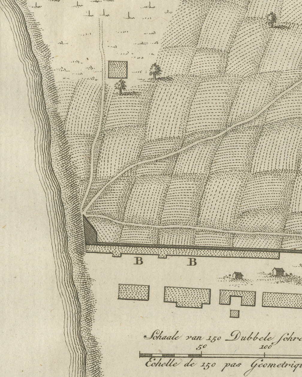
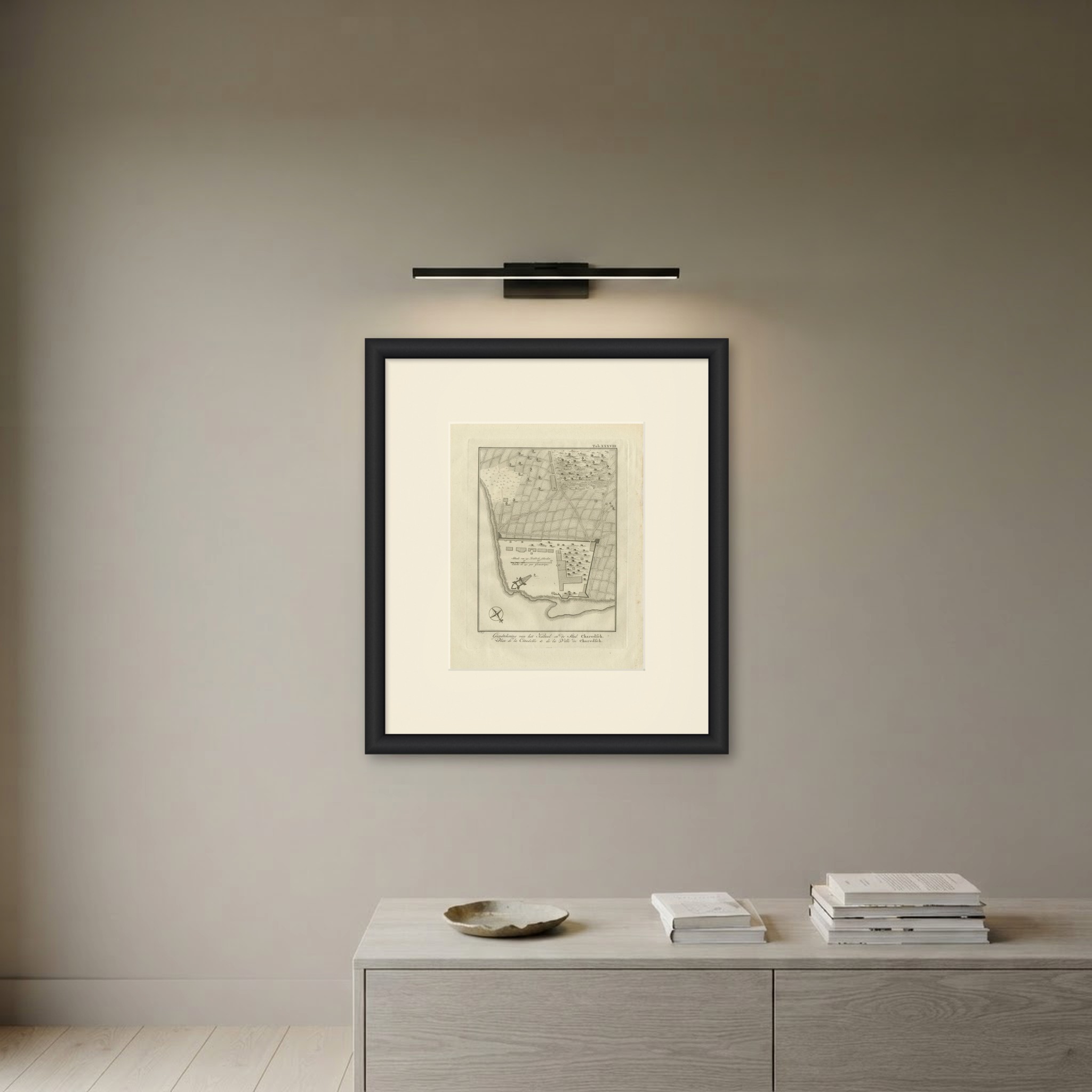
An original antique copper engraving, published in 1780, with a plan of a small fortified settlement on the shore. The caption engraved in the lower margin reads Grondtekening van het Kasteel en de Stad Charedsch. in Dutch and Plan de la Citadelle & de la Ville de Charedsch. in French, both meaning "Plan of the Citadel and the Town of Charedsch", that is Kharg.
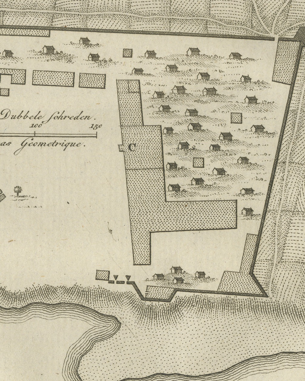
The shore runs down the left side of the plan and along the bottom, the water drawn in close parallel lines. On a point at the lower left stands the citadel, marked A, a small bastioned fort with a long outwork running inland. Beside it a walled enclosure holds the town: a row of buildings marked B along the upper wall, a large L shaped building marked C, and rows of small houses drawn in elevation. Above the town the ground is laid out in curving fields crossed by roads, with long buildings marked D, scattered buildings marked E at the right, and a village with houses and trees lettered Bender Bussel at the upper right.
A compass rose is engraved at the lower left, and a scale bar is lettered Schaale van 150 Dubbele schreden and Echelle de 150 pas Geometrique. The plate number Tab. XXXVIII. is engraved at the upper right, and the credit T. K. f. is lettered below the lower left corner of the image.
The plate comes from the second volume of Carsten Niebuhr's Voyage en Arabie & en d'autres Pays circonvoisins, Tome Second, the French translation printed at Amsterdam by S. J. Baalde and at Utrecht by Barthelemy Wild, with the title page dated MDCCLXXX. Carsten Niebuhr (1733 to 1815) was a German born surveyor in Danish service and the only member of the Danish expedition to Arabia (1761 to 1767), sent by King Frederick V of Denmark, to return alive. The account was first published in German at Copenhagen; this is the French translation printed in Amsterdam and Utrecht.
Light uneven toning, browner toward the edges. Marked handling soiling along all four edges. Scattered light foxing in the margin. Wear at the bottom left and bottom right corners. Minor edge wear, shallow nicks along the bottom.
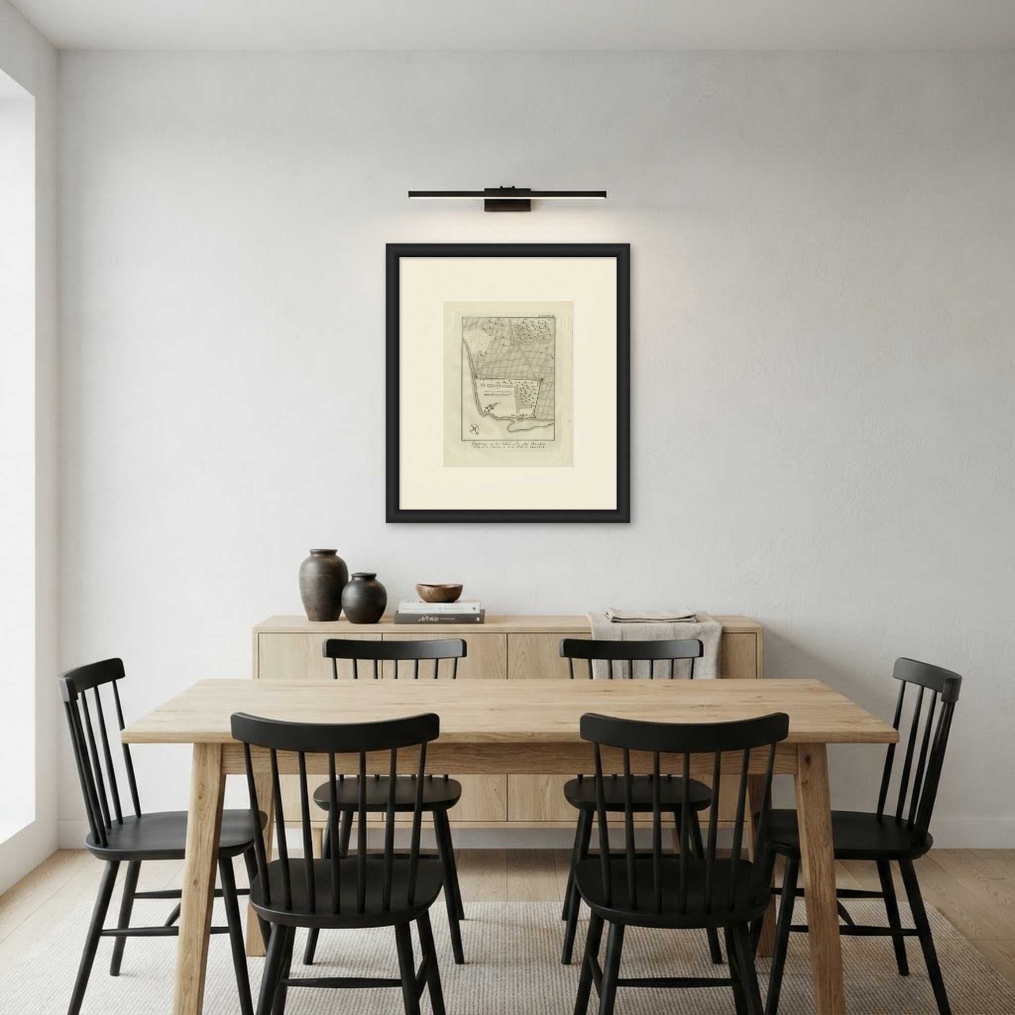
This is an original antique print, not a modern reproduction. This item is sold unframed. Any framed or interior images are shown for presentation and inspiration only, unless the listing explicitly states that the item is sold framed.