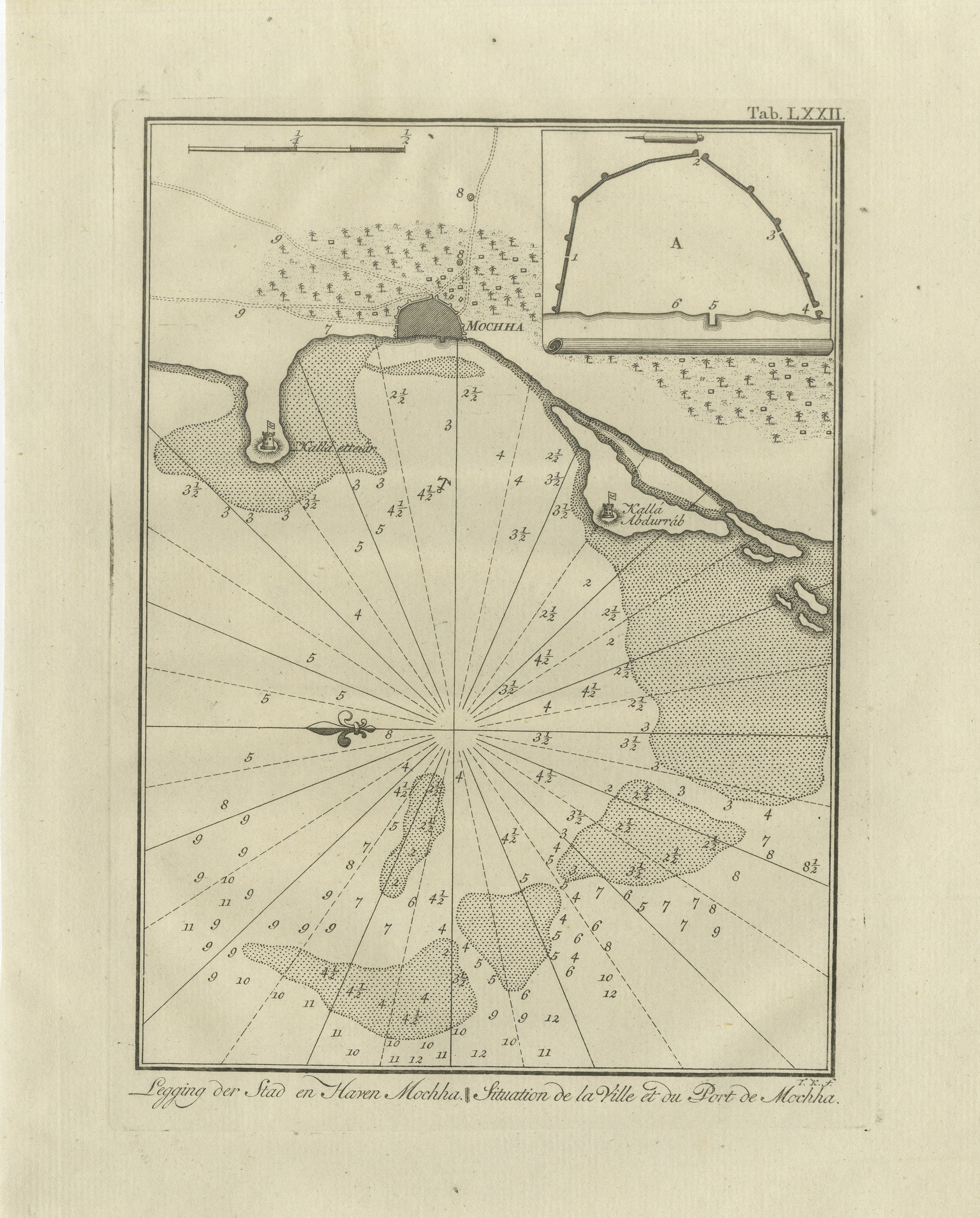
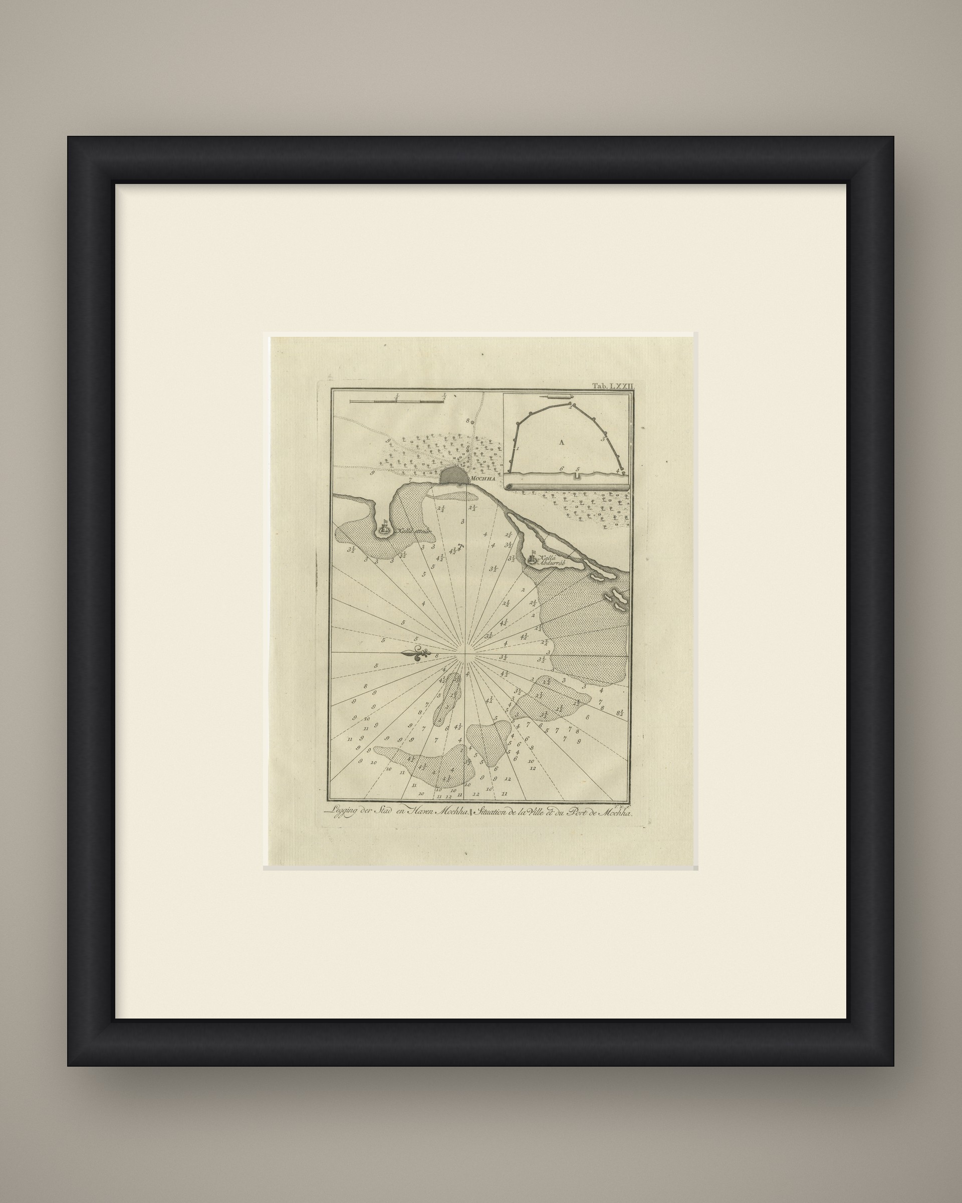
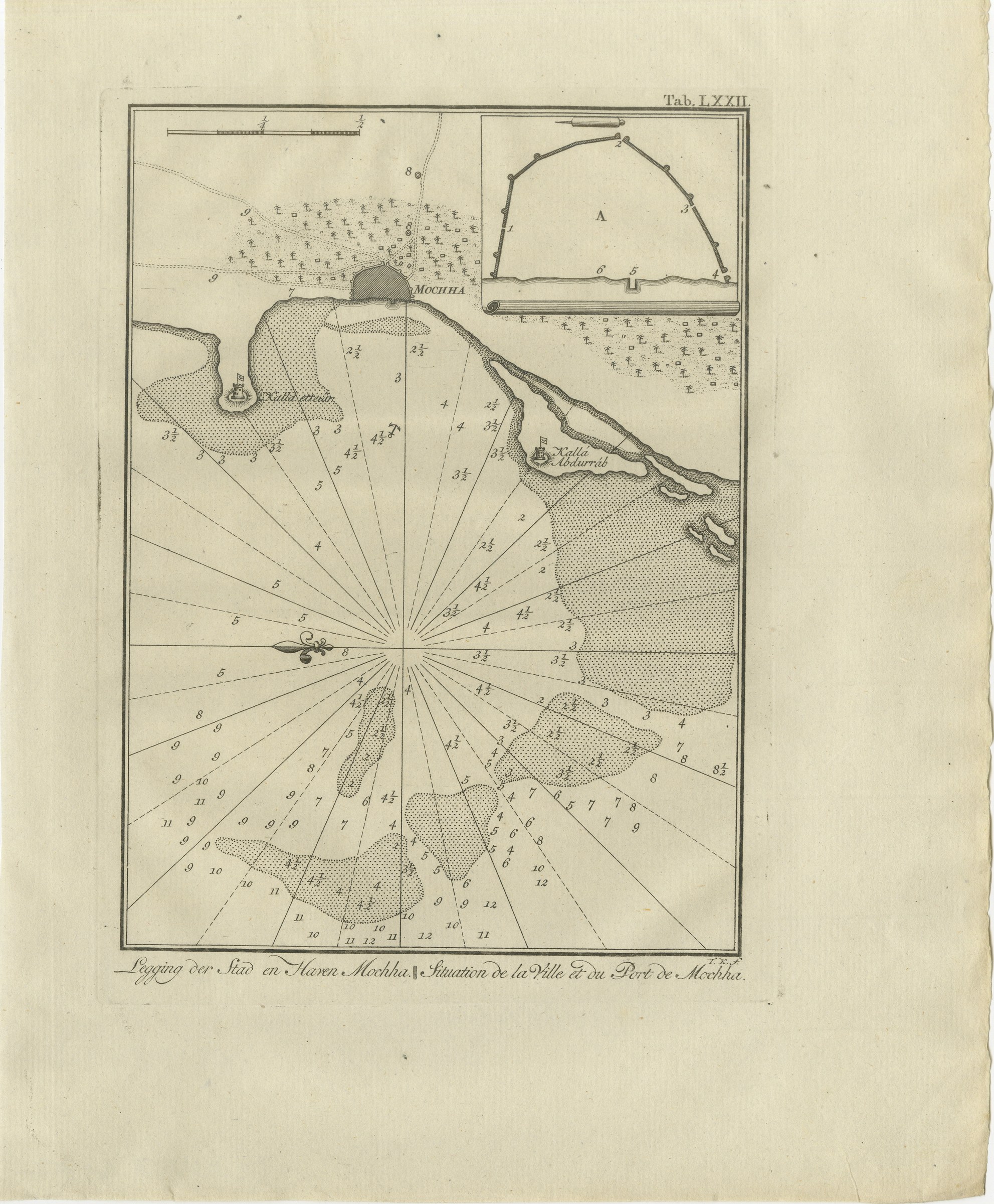
The Town and Port of Mocha in Yemen, Antique Niebuhr Chart, 1776
€ 290
Original antique · The actual sheet photographed · Certificate of authenticity on request · Sold unframed · Worldwide shipping from € 15 (rates)
Date
1776
Mapmaker / artist
Carsten Niebuhr; engraved by T. K.
Publisher
S. J. Baalde, Amsterdam, and J. van Schoonhoven and Comp., Utrecht
Technique
Copper engraving
Coloring
Uncolored
Condition
Good
Reference
BG-14407-1-72
What the condition grades mean
Excellent
Bright and clean, with no faults worth mentioning.
Very good
Only light signs of age, such as faint toning.
Good
Normal signs of age for a sheet of this period: toning, some foxing, small marks or neat old repairs.
Fair
Clear faults such as staining, tears or repairs, priced to match.
Every fault we see is written in the condition note, and the whole sheet is shown uncropped in the photos.
Condition
Light uneven toning, browner toward the edges. Handling soiling along the right edge. A few small foxing spots in the margin. Slight wear at the bottom right corner. One larger brown mark.
About this sheet
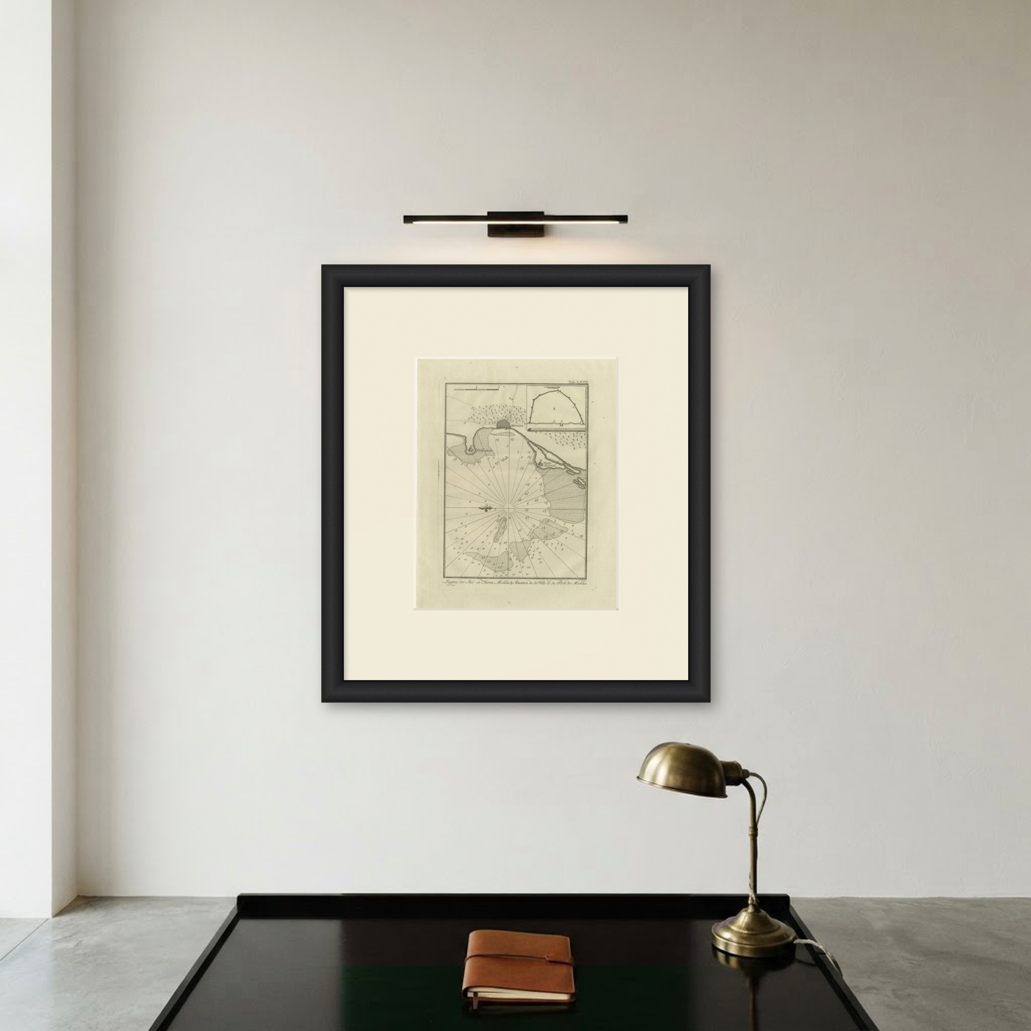
This is an original antique copper engraving from 1776, plate LXXII of the first volume of Carsten Niebuhr's account of his travels in Arabia. The caption reads Legging der Stad en Haven Mochha. in Dutch and Situation de la Ville et du Port de Mochha. in French, meaning "Situation of the town and harbor of Mocha", the Red Sea port in Yemen.
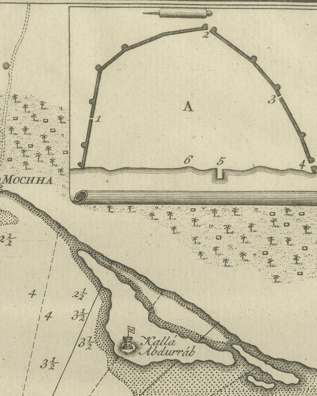
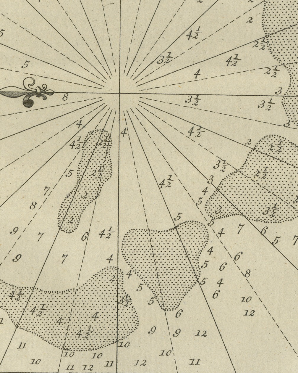
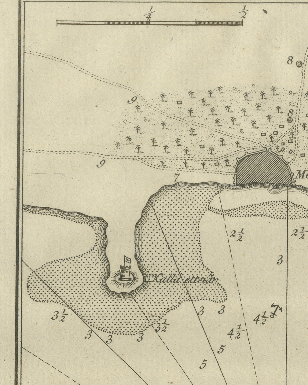
The town, lettered MOCHHA, is drawn as a dark walled block on the shore at the top center, with gardens and scattered houses behind it and numbers marking points around it. The coast curves away on either side. On the headland at the left a fort flies a flag, and a second fort with a flag stands on a spit at the right, lettered Kallá Abdurráb. The whole of the water below is filled with soundings in figures, from 2 near the shore to 12 at the bottom, and stippled patches mark the shoals. A fan of rhumb lines spreads from a point in the center, one ending in a fleur-de-lis, and an anchor marks the roadstead. A scale is set at the upper left, and an inset at the upper right, drawn on a scroll, gives the plan of a walled enclosure lettered A with points numbered 1 to 6.
The initials T. K. f. are engraved at the lower right below the border, and the plate number Tab. LXXII. at the upper right.
The plate comes from the first volume of Carsten Niebuhr's Voyage en Arabie & en d'autres Pays circonvoisins, Traduit de l'Allemand (translated from the German), published A Amsterdam, chez S. J. Baalde and A Utrecht, chez J. van Schoonhoven & Comp., with the date MDCCLXXVI (1776) on the title page. Carsten Niebuhr (1733 to 1815) was a German born surveyor in Danish service and the only member of the Danish expedition to Arabia (1761 to 1767), sent by King Frederick V of Denmark, to return alive. The account was first published in German at Copenhagen; this is the French translation printed in Amsterdam and Utrecht.
Light uneven toning, browner toward the edges. Handling soiling along the right edge. A few small foxing spots in the margin. Slight wear at the bottom right corner. One larger brown mark.
This is an original antique print, not a modern reproduction. This item is sold unframed. Any framed or interior images are shown for presentation and inspiration only, unless the listing explicitly states that the item is sold framed.