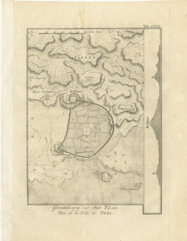
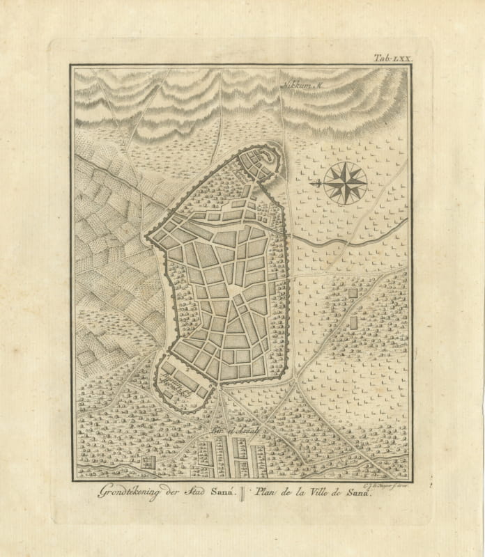
Antique Map of Yemen from the Danish Expedition, Niebuhr, 1776
€ 450
Original antique · The actual sheet photographed · Certificate of authenticity on request · Sold unframed · Worldwide shipping from € 15 (rates)
Date
1776
Mapmaker / artist
Carsten Niebuhr; engraved by Th. Koning
Publisher
S. J. Baalde, Amsterdam, and J. van Schoonhoven and Comp., Utrecht
Technique
Copper engraving
Coloring
Hand colored
Sheet size
53 × 45 cm (20.9 × 17.7 in)
Condition
Fair
Reference
BG-14407-1-73
What the condition grades mean
Excellent
Bright and clean, with no faults worth mentioning.
Very good
Only light signs of age, such as faint toning.
Good
Normal signs of age for a sheet of this period: toning, some foxing, small marks or neat old repairs.
Fair
Clear faults such as staining, tears or repairs, priced to match.
Every fault we see is written in the condition note, and the whole sheet is shown uncropped in the photos.
Condition
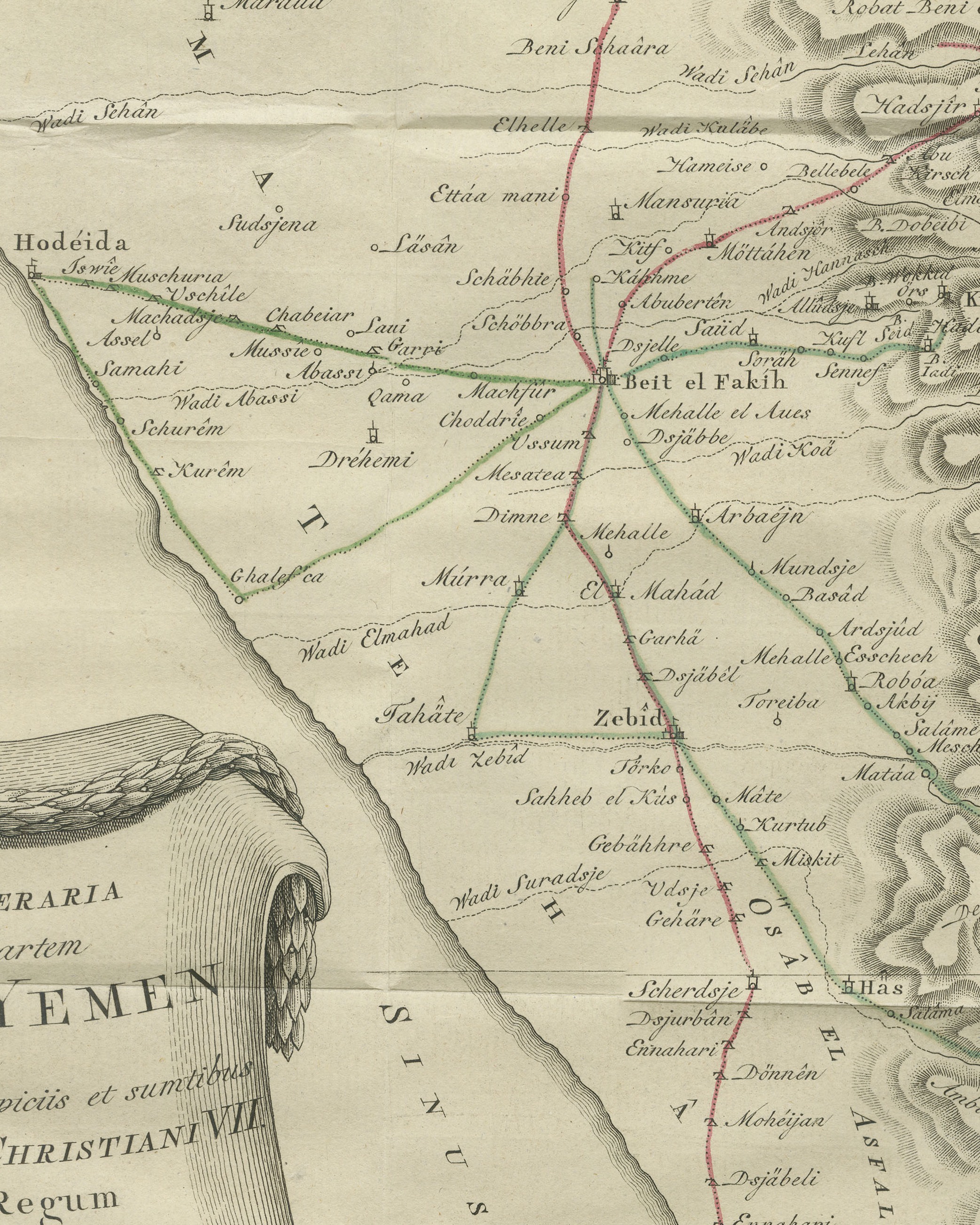
Left margin lost from just below the middle to the bottom left corner, cut to the border; the corner loss clips the credit. Small loss at the bottom right corner. Light uneven toning. Scattered light foxing. Folding plate, folds as issued.
About this sheet
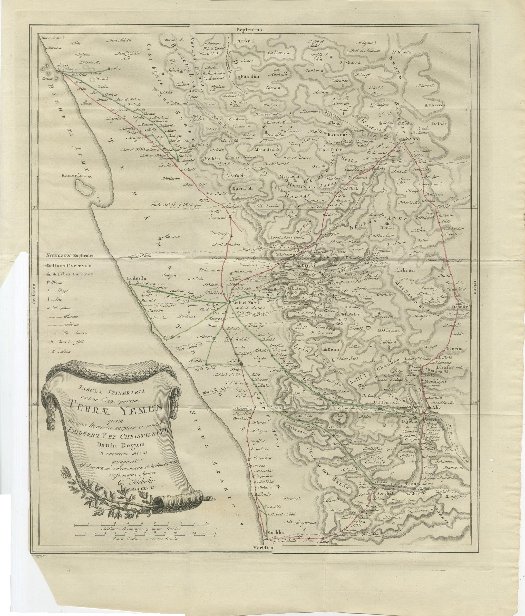
This is an original antique copper engraved map from 1776, from the first volume of Carsten Niebuhr's account of his travels in Arabia. The Latin title in the scroll cartouche at the lower left reads TABULA ITINERARIA sistens illam partem TERRÆ YEMEN quam Societas litteraria auspiciis et sumtibus FRIDERICI V. ET CHRISTIANI VII. Daniæ Regum in orientem missa peragravit Ad observationes astronomicas et hodometricas conformata; Auctore C. Niebuhr. MDCCLXIII. In English: "Itinerary map showing that part of the land of Yemen which the learned society, sent to the East under the auspices and at the expense of Frederick V and Christian VII, Kings of Denmark, traveled through; drawn from astronomical and distance observations; by C. Niebuhr. 1763."
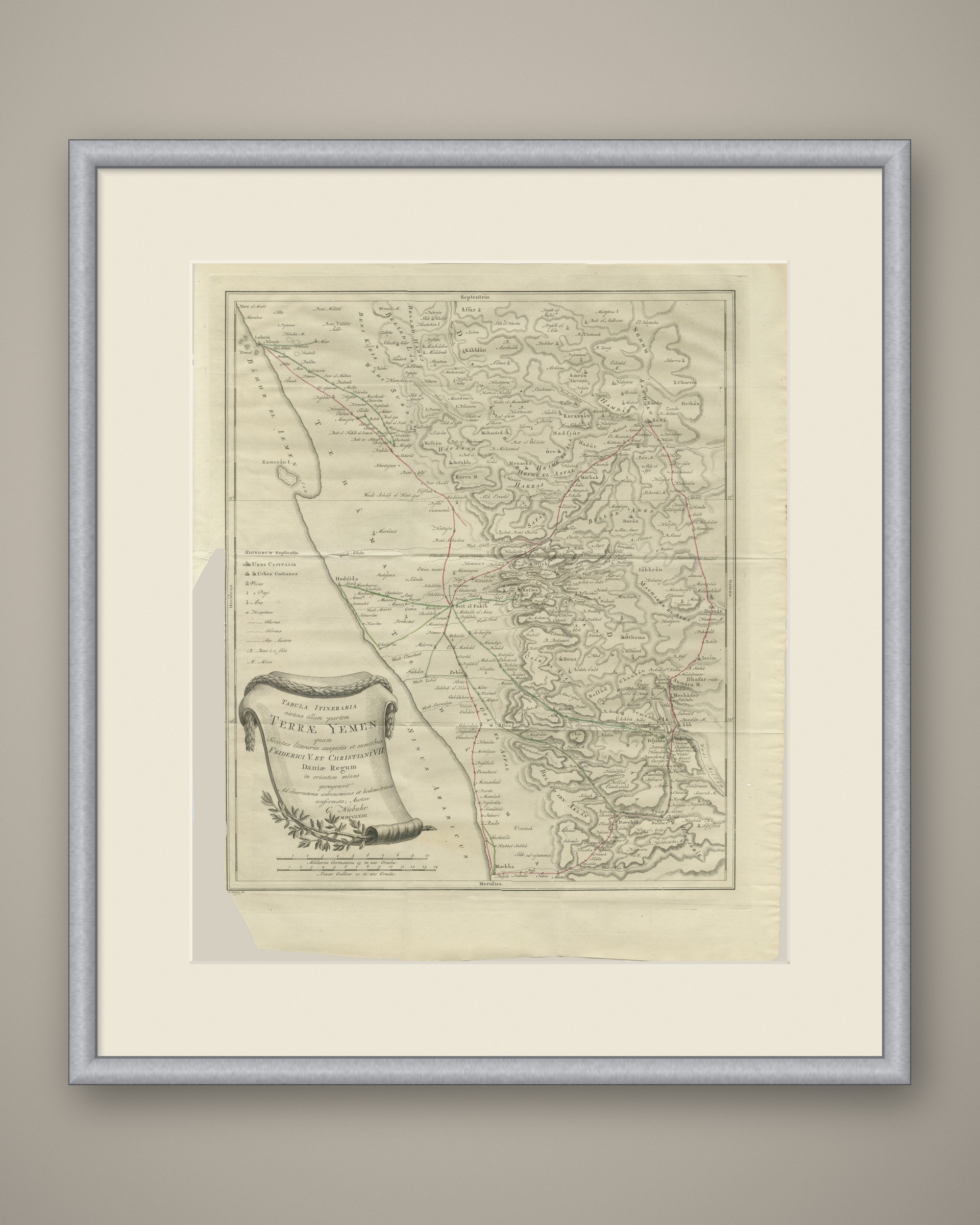
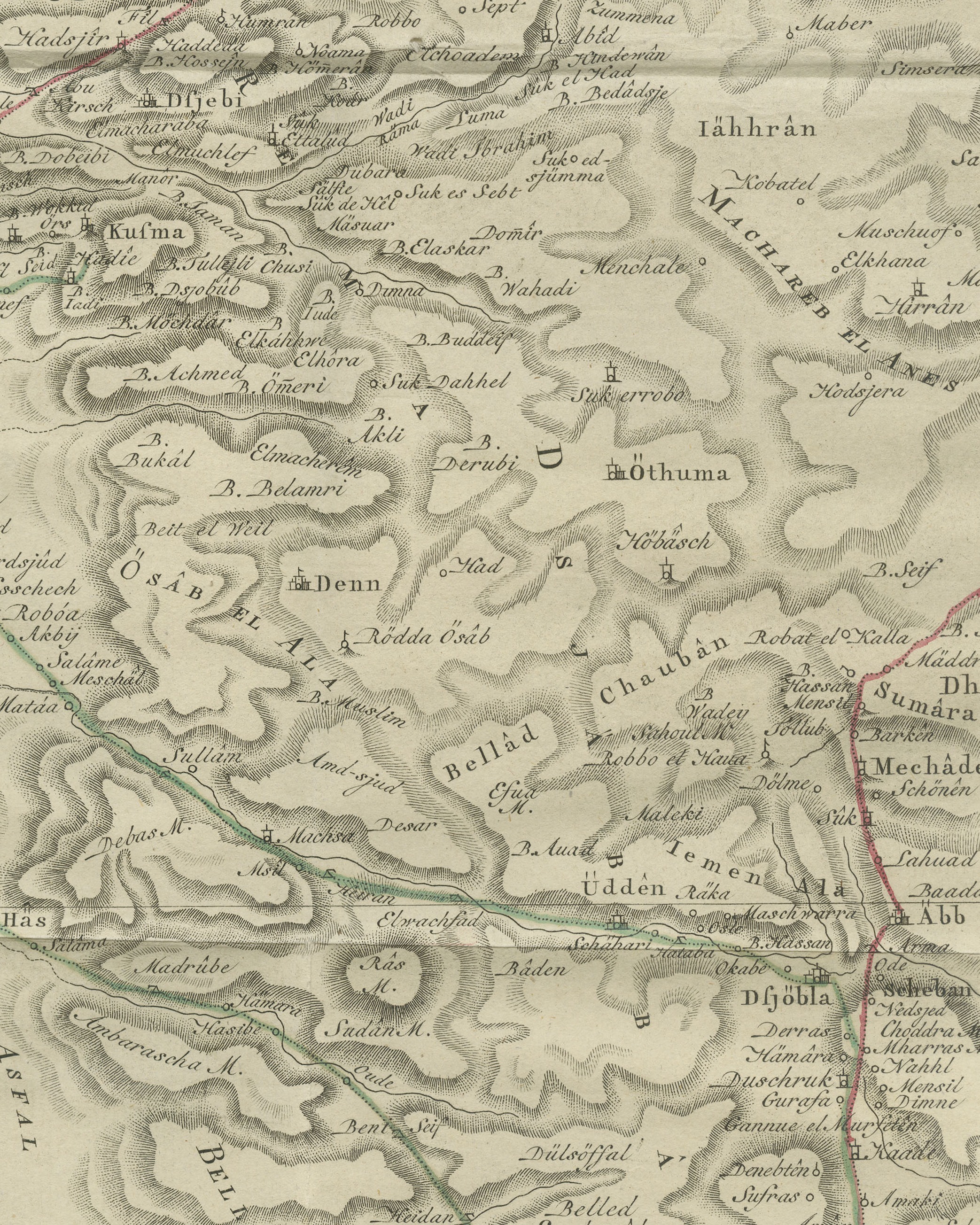
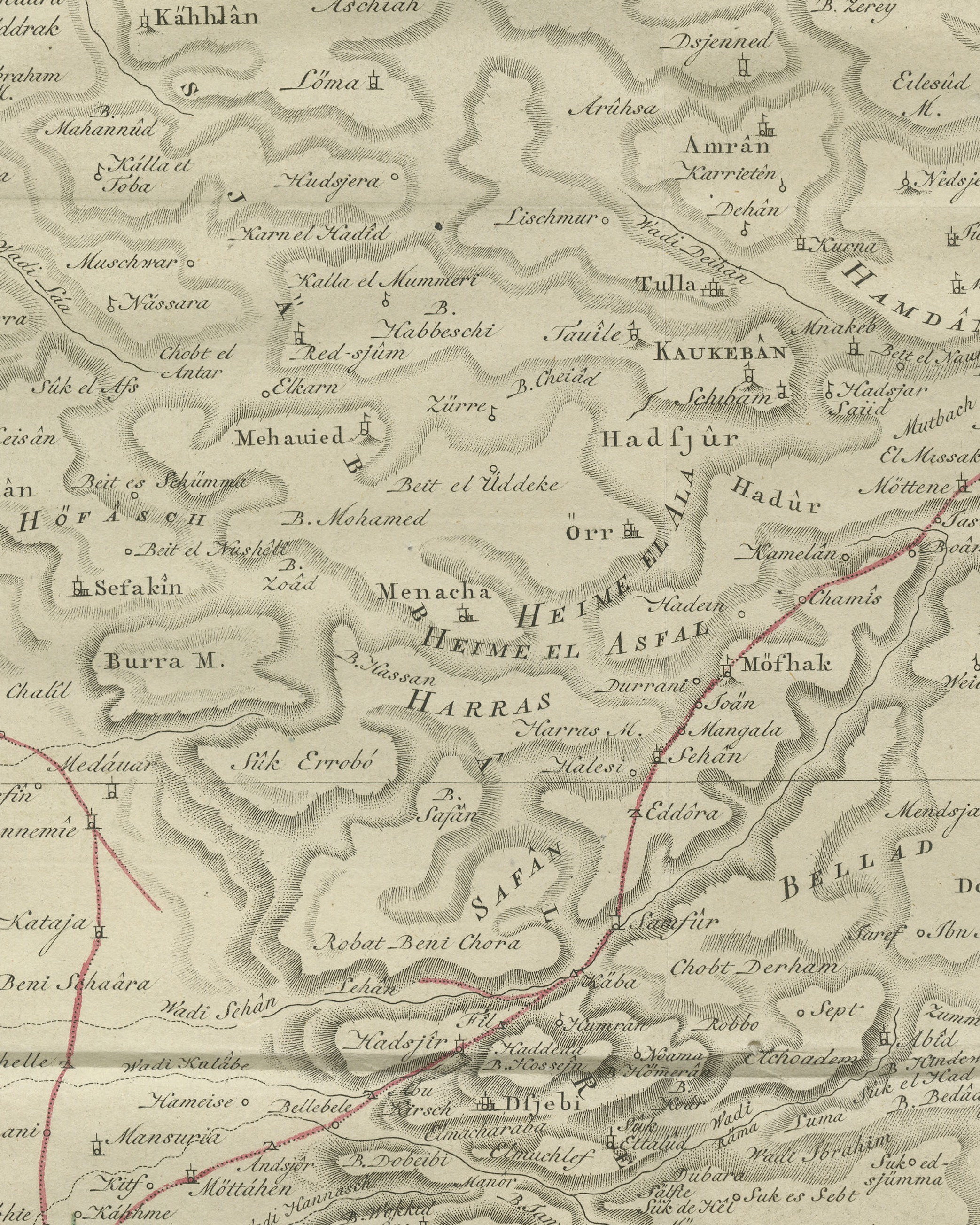
The map shows western Yemen from Loheia at the upper left to Mochha at the bottom, with the Red Sea along the left side lettered BÁHHR EL IEMEN and SINUS ARABICUS and the island Kamerân I. offshore. Hodéida, Beit el Fakíh and Zebîd stand on the coastal plain, and the mountains are drawn in hachures, with SANÁ at the upper right and Ierîm on the right. The routes are drawn as dotted lines picked out by hand in red and green. The sides are marked Septentrio, Meridies, Occidens and Oriens, and a key headed SIGNORUM Explicatio at the left explains the symbols. Two scales below the cartouche are lettered Milliaria Germanica 15 in uno Gradu. and Leucæ Gallicæ 20 in uno Gradu.
The engraver's name Th. Koning, fec. is lettered at the lower left, its first letter clipped by the corner loss. No plate number is engraved on this sheet.
The plate comes from the first volume of Carsten Niebuhr's Voyage en Arabie & en d'autres Pays circonvoisins, Traduit de l'Allemand (translated from the German), published A Amsterdam, chez S. J. Baalde and A Utrecht, chez J. van Schoonhoven & Comp., with the date MDCCLXXVI (1776) on the title page. Carsten Niebuhr (1733 to 1815) was a German born surveyor in Danish service and the only member of the Danish expedition to Arabia (1761 to 1767), sent by King Frederick V of Denmark, to return alive.
Left margin lost from just below the middle to the bottom left corner, cut to the border; the corner loss clips the credit. Small loss at the bottom right corner. Light uneven toning. Scattered light foxing. Folding plate, folds as issued.
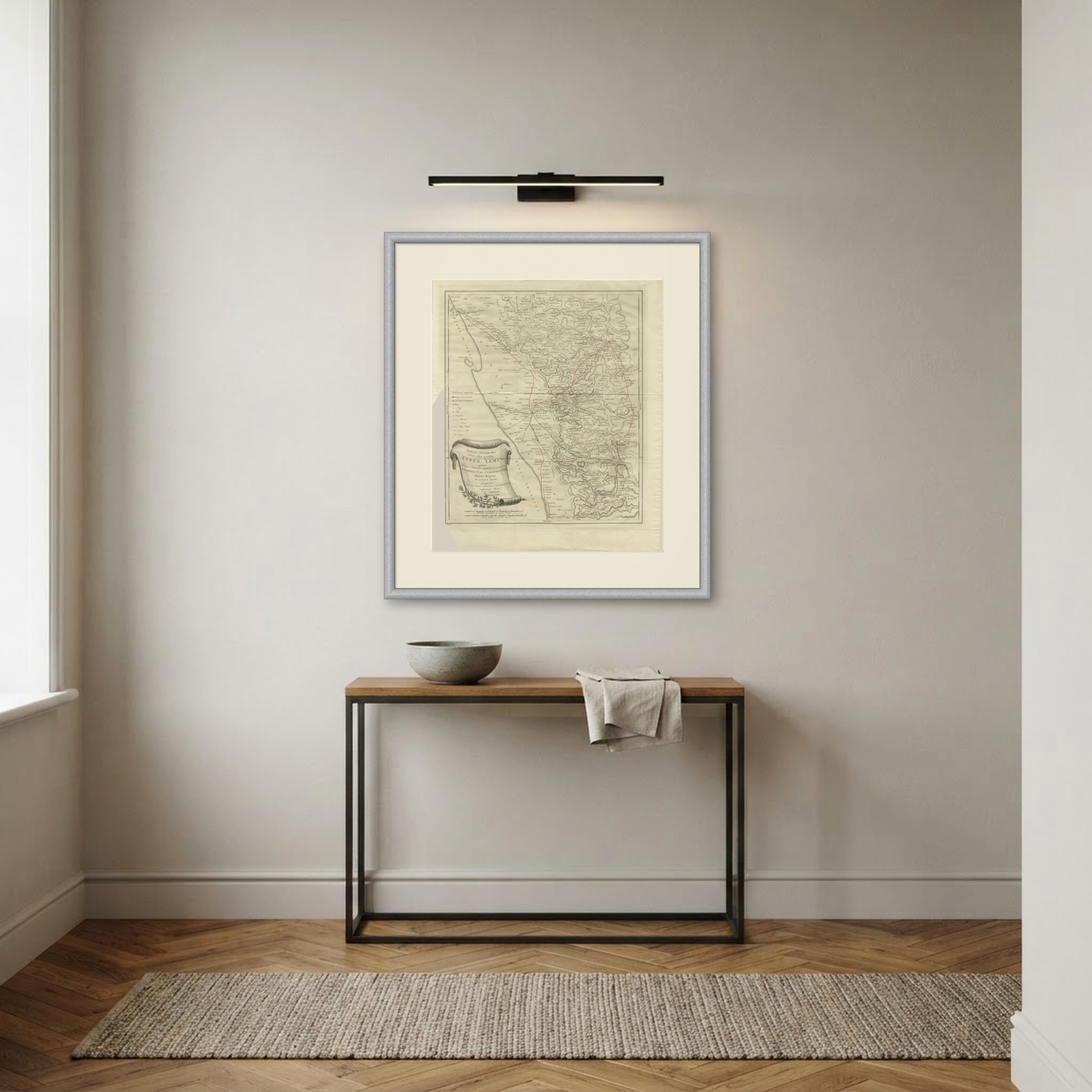
This is an original antique print, not a modern reproduction. This item is sold unframed. Any framed or interior images are shown for presentation and inspiration only, unless the listing explicitly states that the item is sold framed.