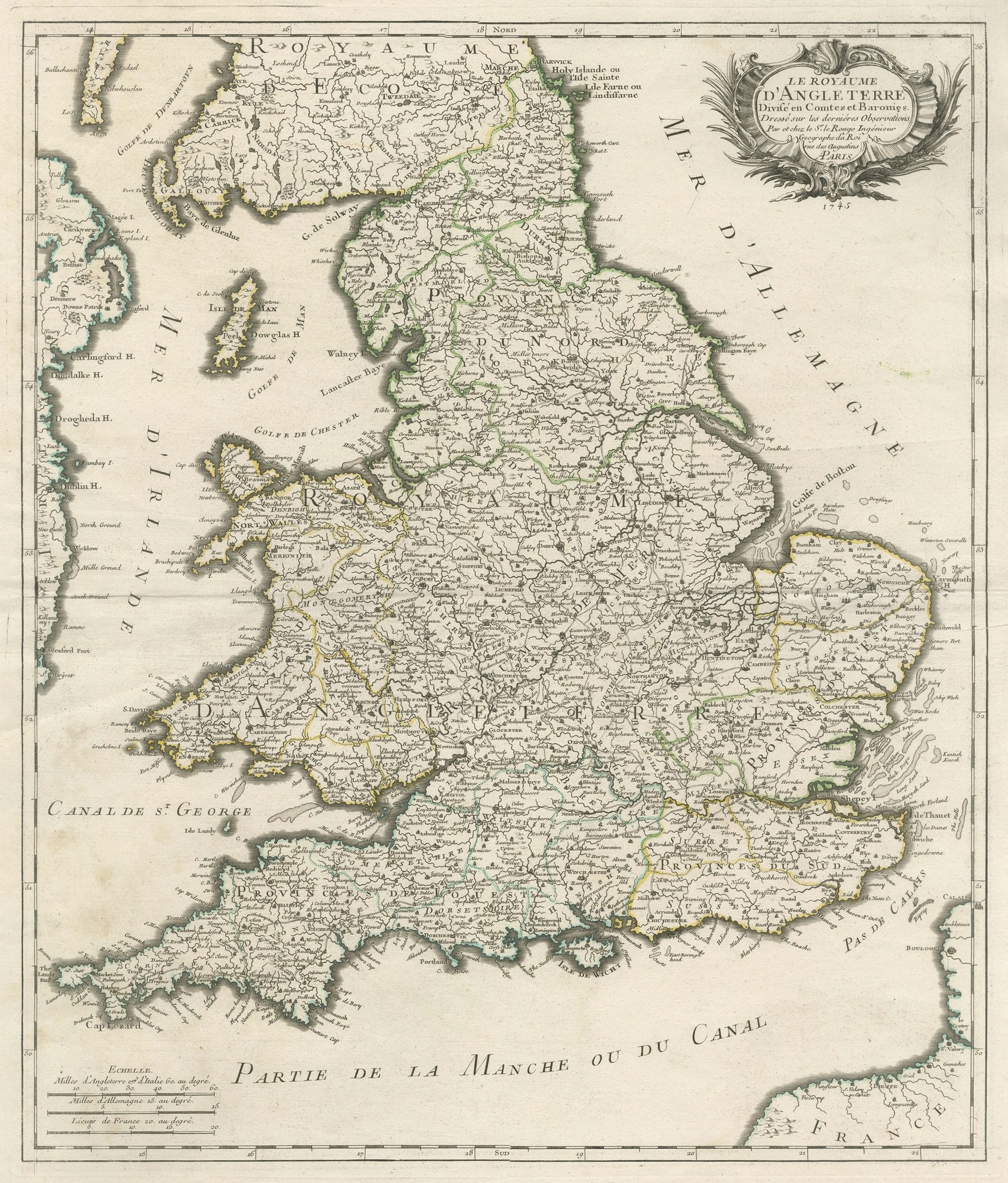
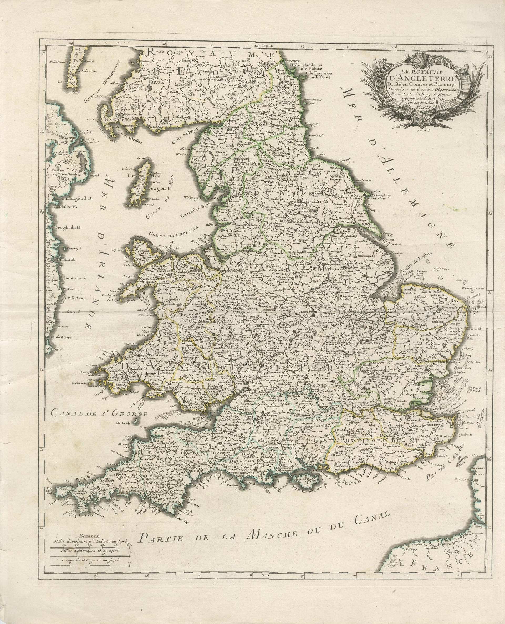
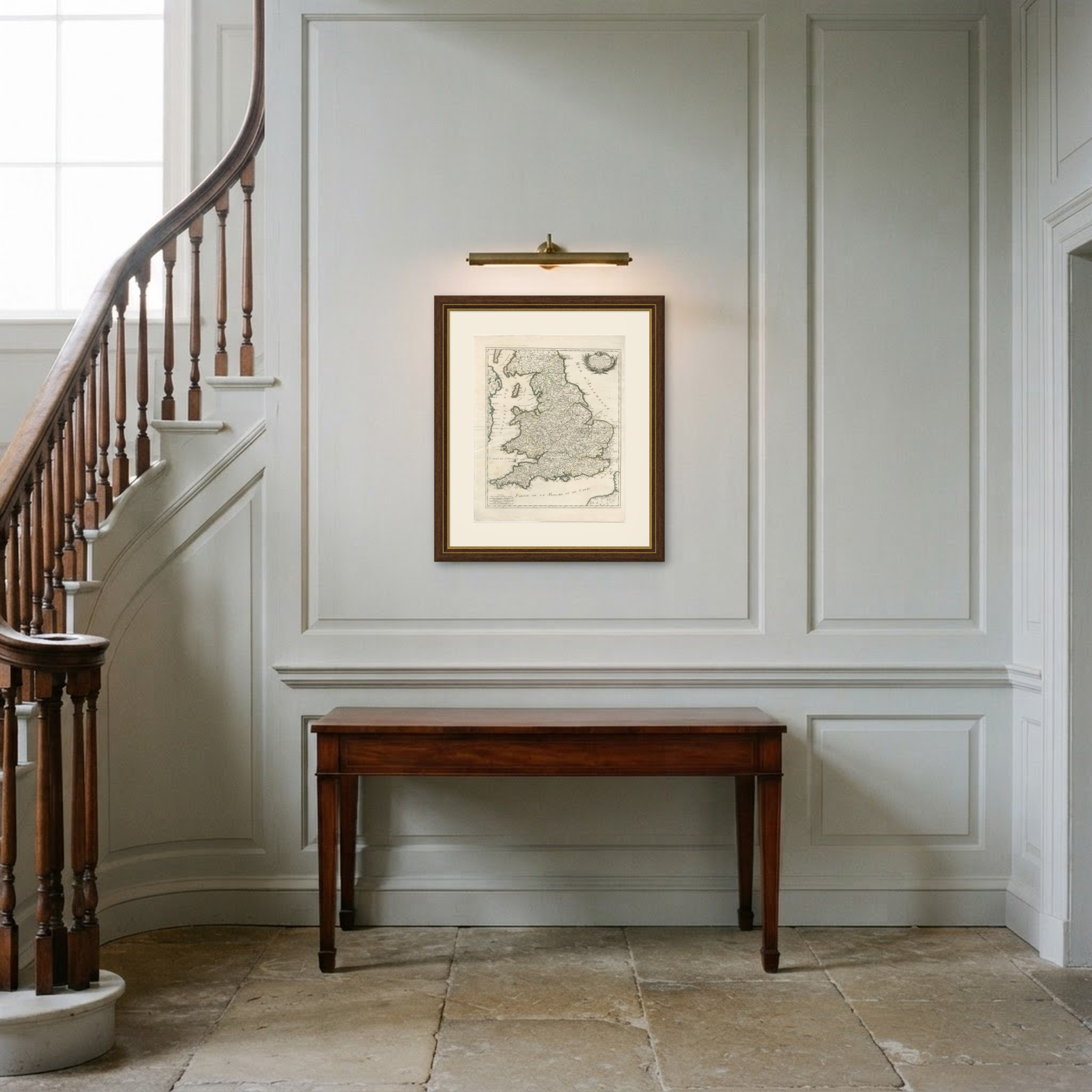
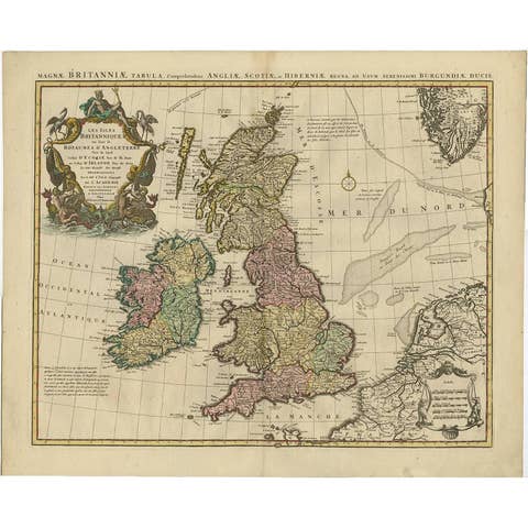
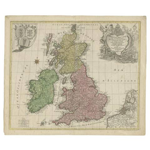
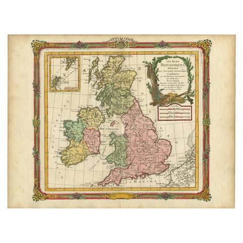
Antique Map of the Kingdom of England and Wales, circa 1760
€ 440
Original antique · The actual sheet photographed · Certificate of authenticity on request · Sold unframed · Worldwide shipping from € 15 (rates)
Date
circa 1760
Mapmaker / artist
Unnamed French cartographer
Publisher
Published in Paris
Technique
Copper Engraving
Coloring
Original hand color
Sheet size
66 × 54 cm (26.0 × 21.3 in)
Condition
Good
Reference
BG-14356-3
What the condition grades mean
Excellent
Bright and clean, with no faults worth mentioning.
Very good
Only light signs of age, such as faint toning.
Good
Normal signs of age for a sheet of this period: toning, some foxing, small marks or neat old repairs.
Fair
Clear faults such as staining, tears or repairs, priced to match.
Every fault we see is written in the condition note, and the whole sheet is shown uncropped in the photos.
Condition
Light uneven toning, browner towards the edges. Handling soiling along the bottom and top edges. Scattered light foxing in the margin. Slight wear at the bottom left corner. Minor edge wear, shallow nicks along the bottom and right.
About this sheet
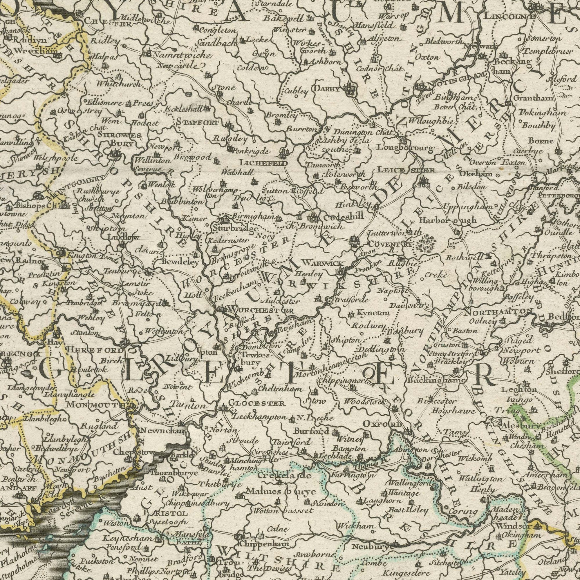
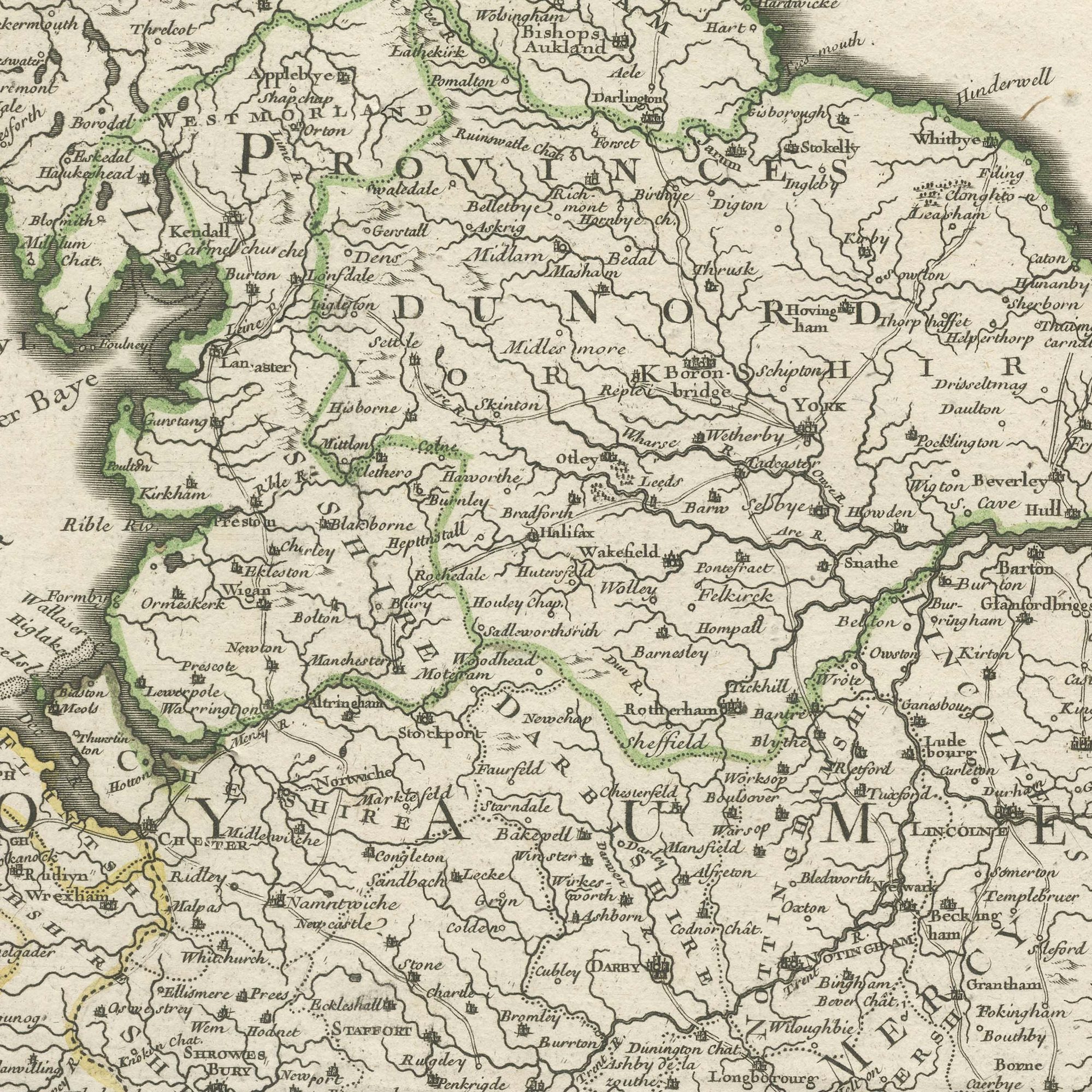
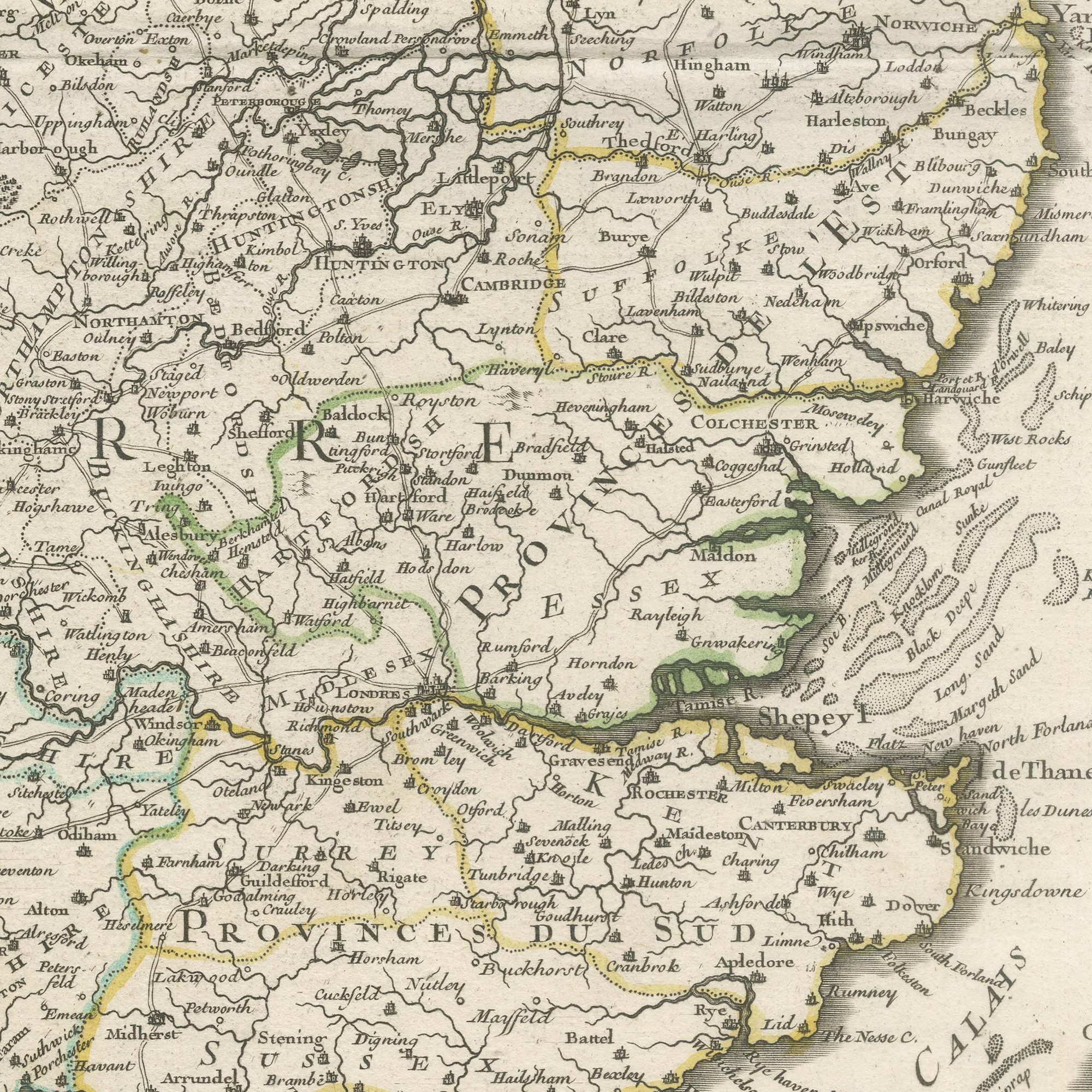
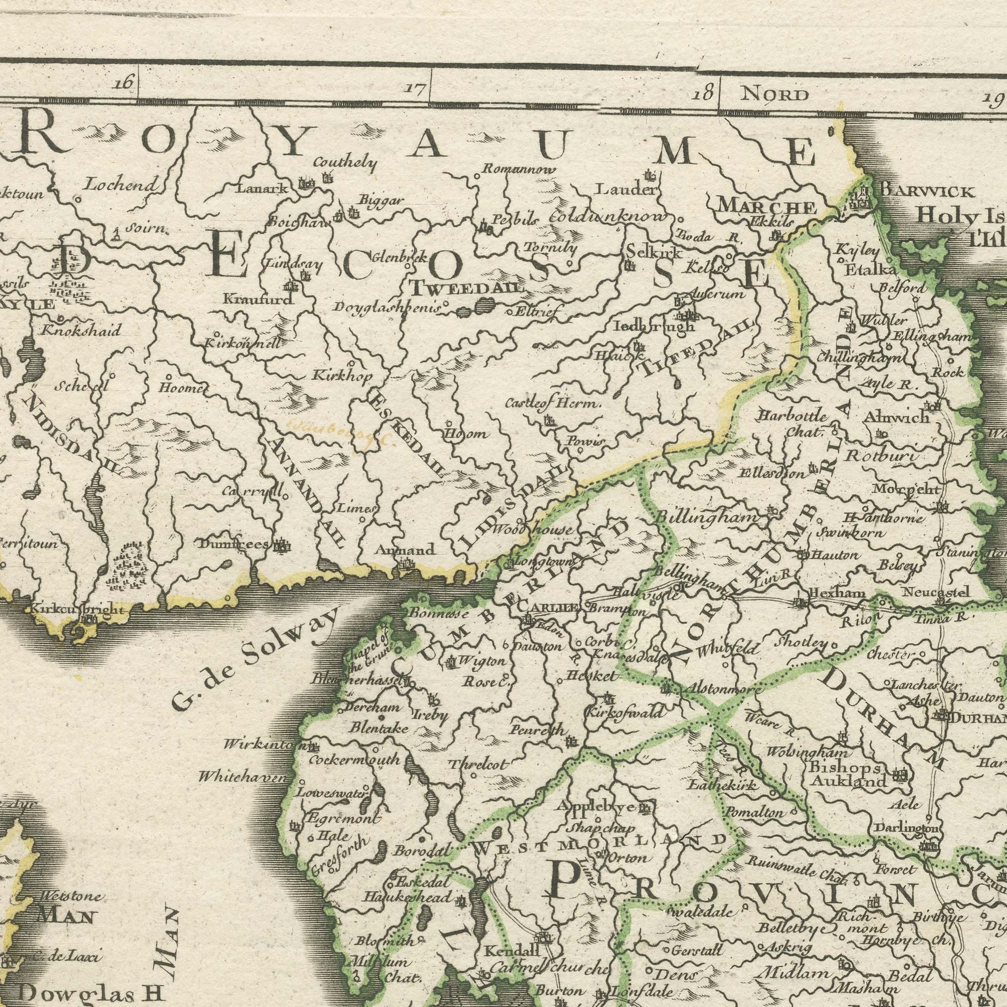
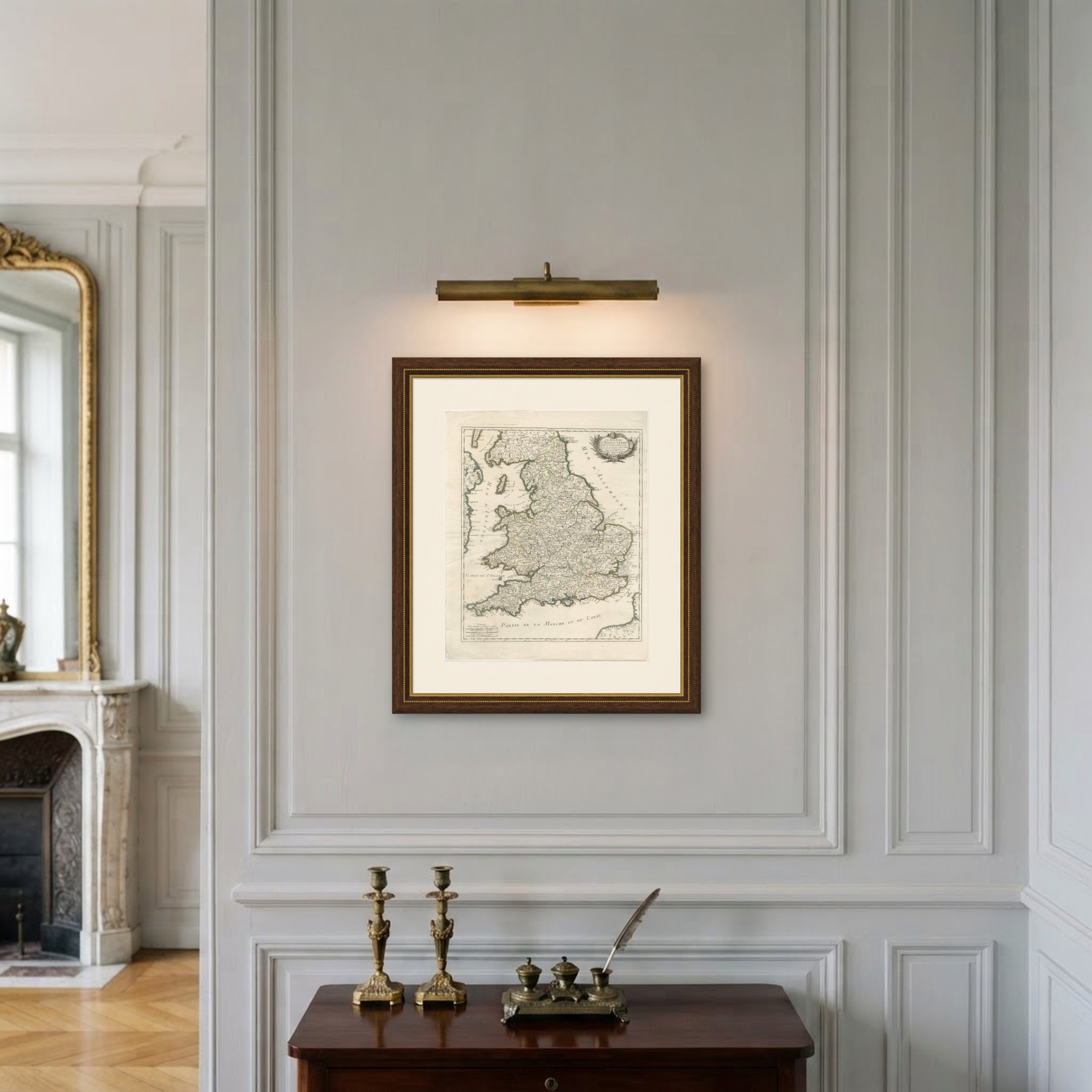
A large original antique map of England and Wales engraved in Paris in the middle of the eighteenth century, the counties outlined in green, pink and yellow wash and the whole country covered with a dense net of towns, rivers and roads. The title stands at the upper right in a rococo cartouche hung with a ribbon, lettered LE ROYAUME D'ANGLETERRE. The Irish Sea is named Mer d'Irlande at the left, the North Sea is Mer d'Allemagne at the right, Saint George's Channel is lettered across the Welsh coast and the Channel runs along the foot of the sheet as the Partie de la Manche ou du Canal.
French mapmakers worked England over with particular attention in the middle of the eighteenth century, when the two kingdoms were at war more often than not, and the results are often better engraved than the English maps of the same date. Three scales are given at the foot in English and Italian miles, German miles and French leagues, which is a sign the map was meant for a continental readership that might need to convert.
A full sheet map of England and Wales in original color is a straightforward thing to sell and an easy one to hang: everyone can find where they come from on it. The sheet is unusually large, so it carries a big wall. The French lettering gives it a point of difference from the English county maps that fill the market.
Light uneven toning, browner towards the edges. Handling soiling along the bottom and top edges. Scattered light foxing in the margin. Slight wear at the bottom left corner. Minor edge wear, shallow nicks along the bottom and right.
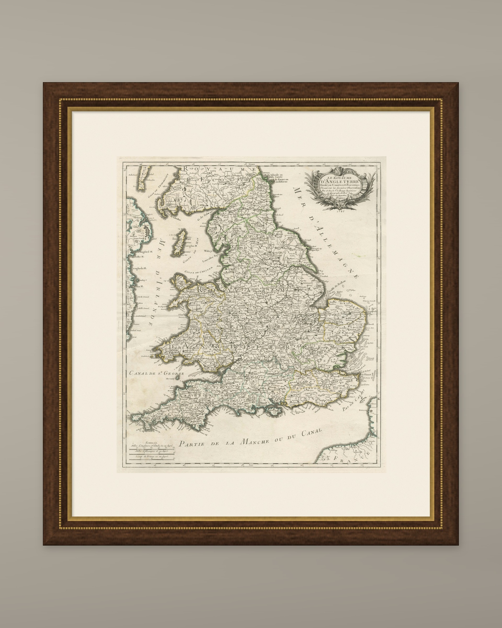
This is an original antique map, not a modern reproduction. This item is sold unframed. Any framed or interior images are shown for presentation and inspiration only, unless the listing explicitly states that the item is sold framed.