About this sheet
Roman Britain Map — Britanniae Insulae Classical Provinces, Wilkinson 1800
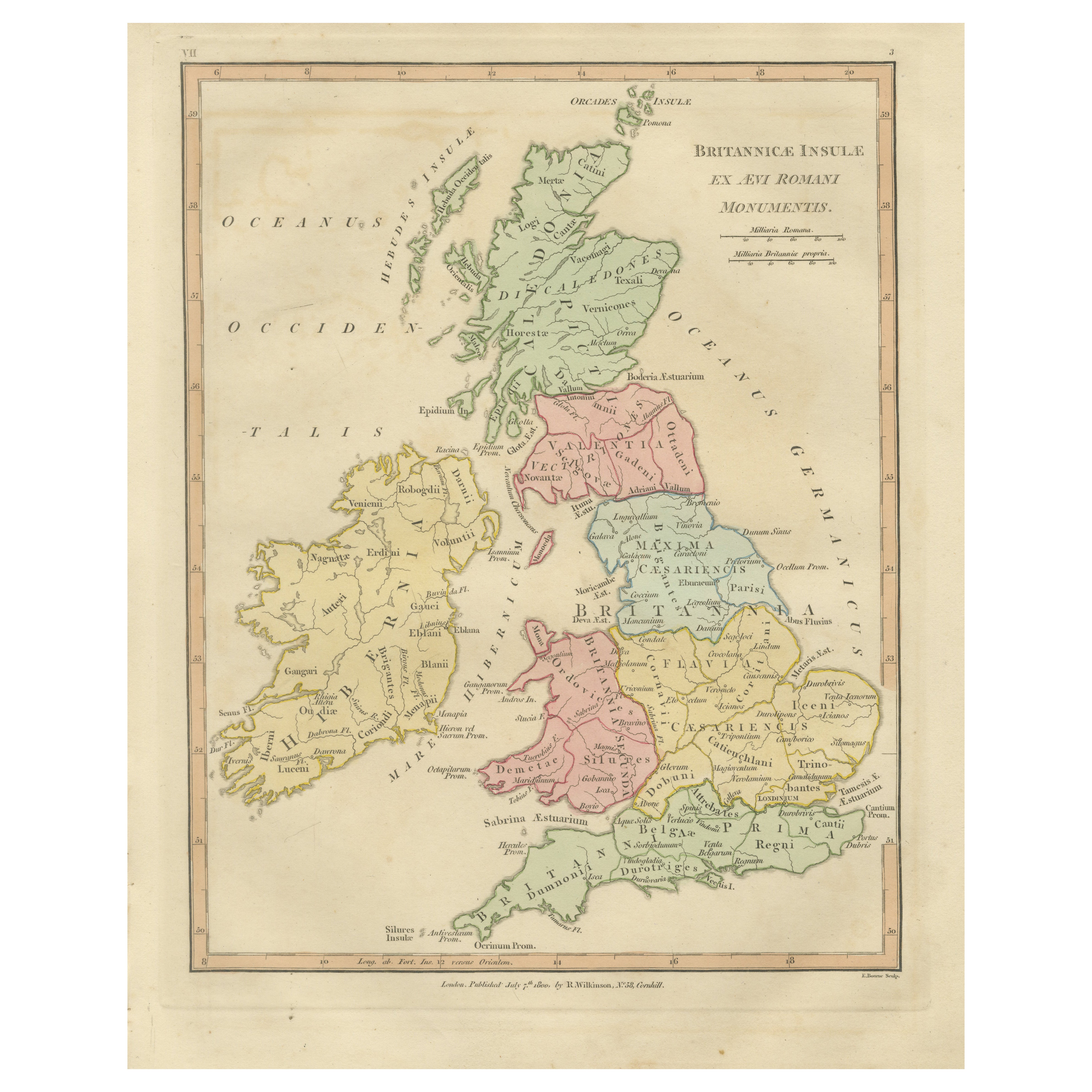
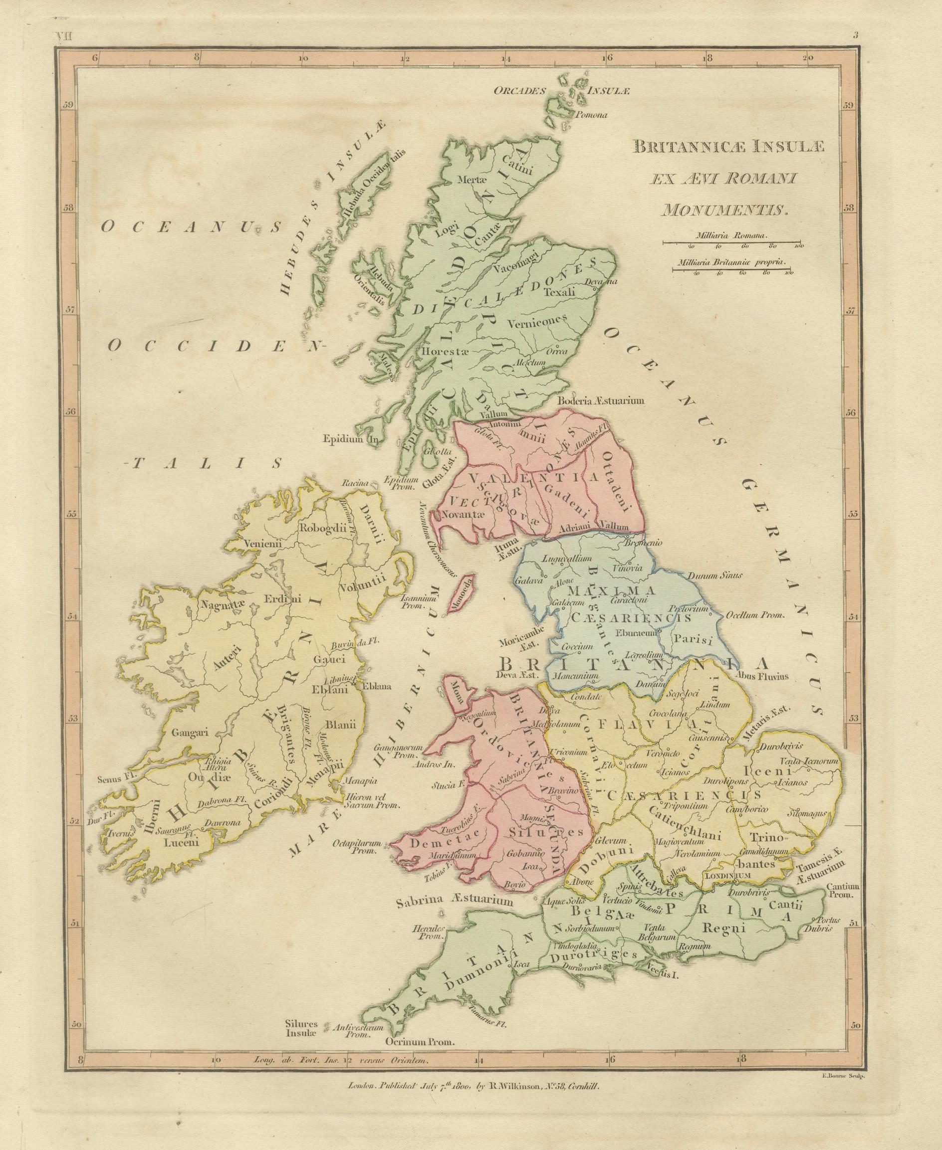
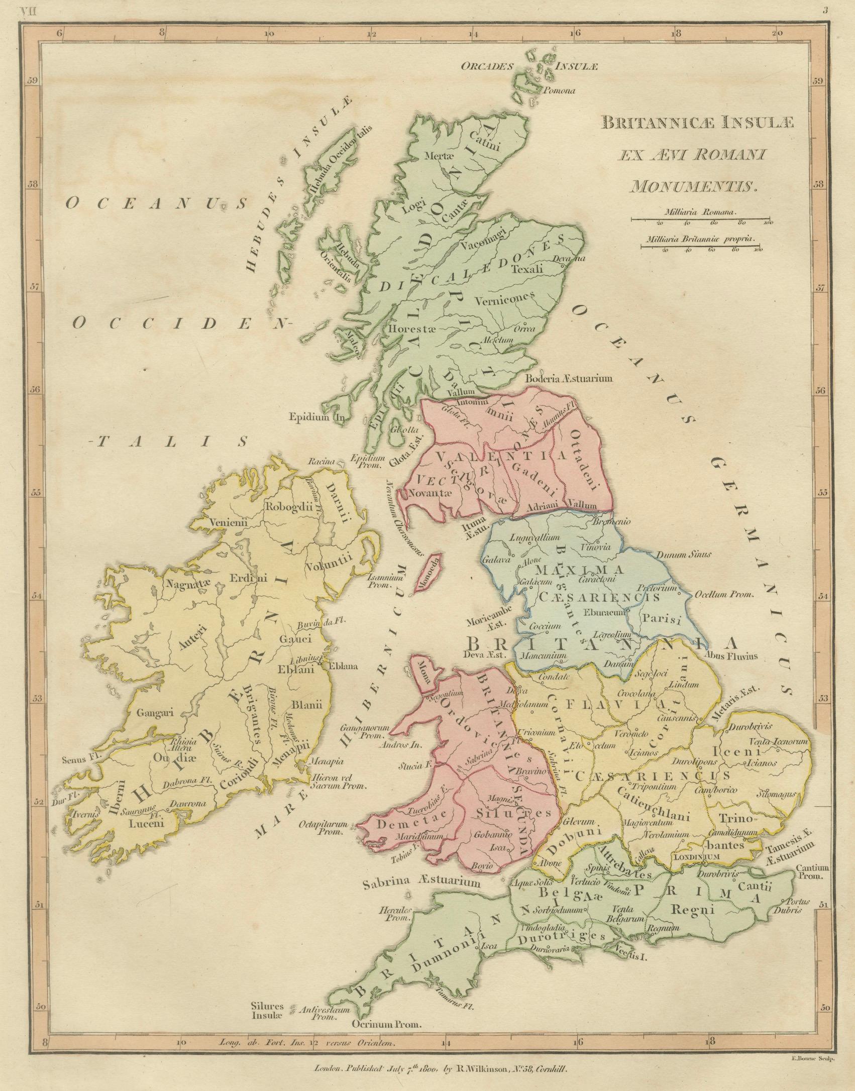
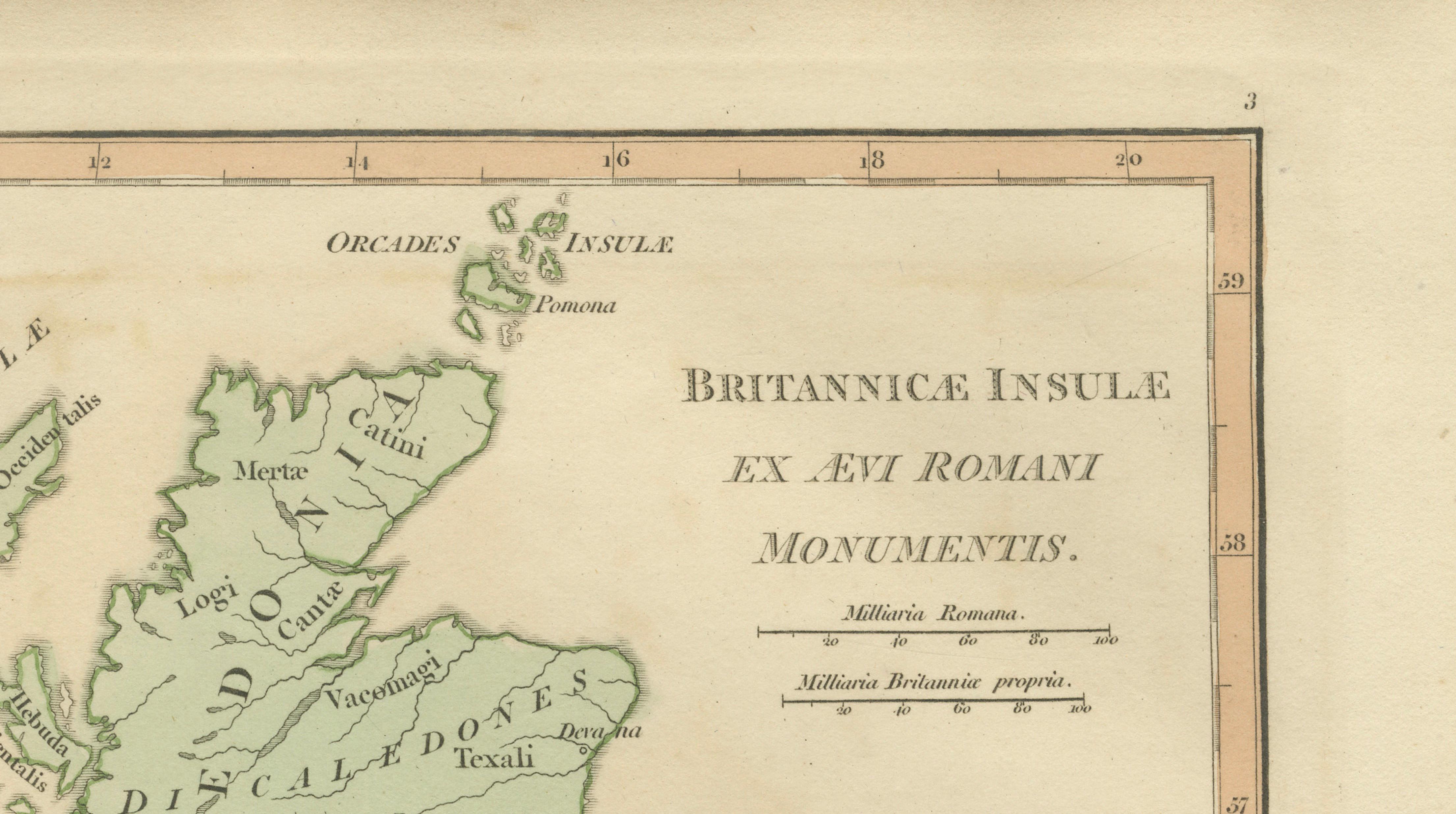
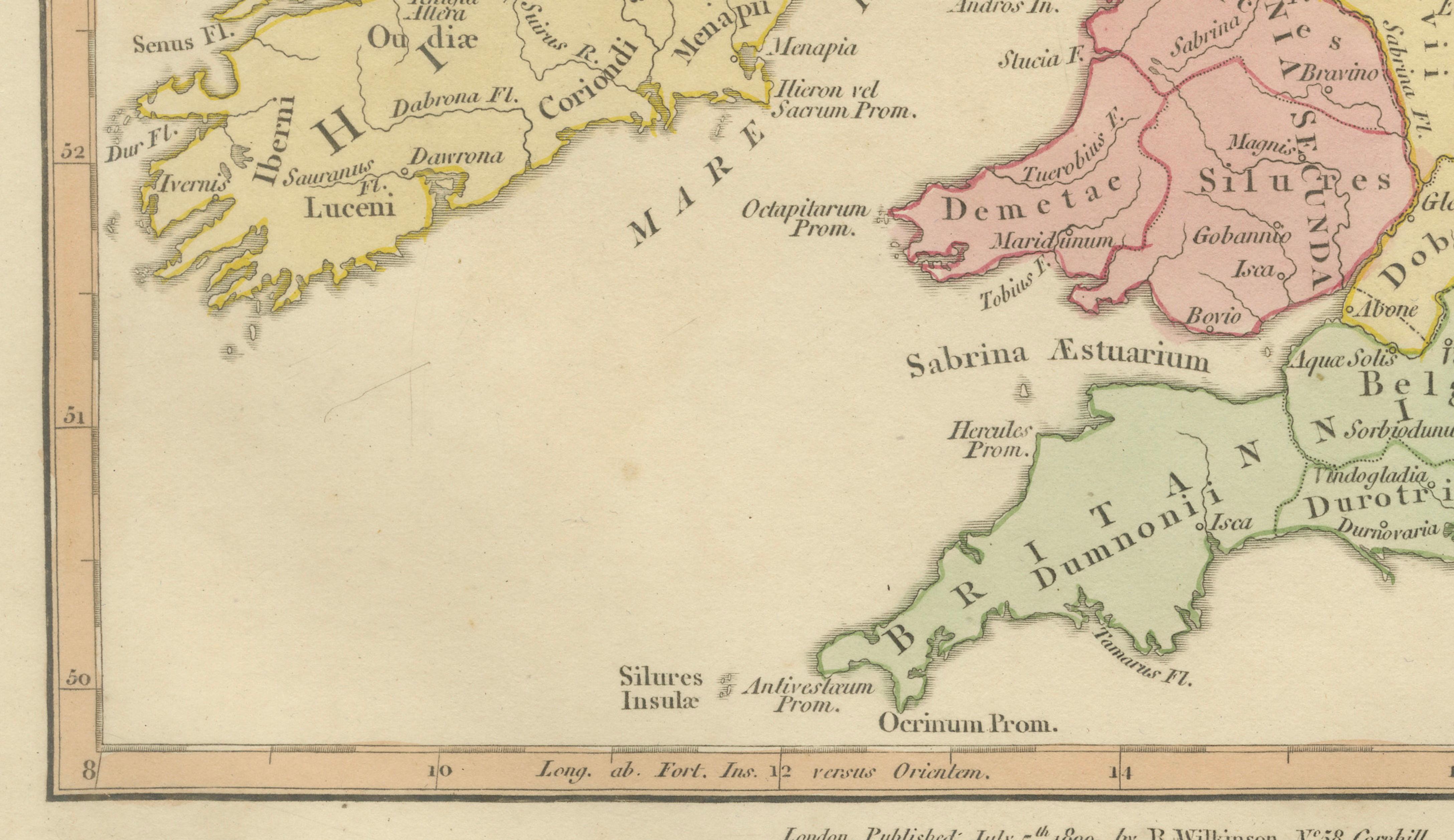
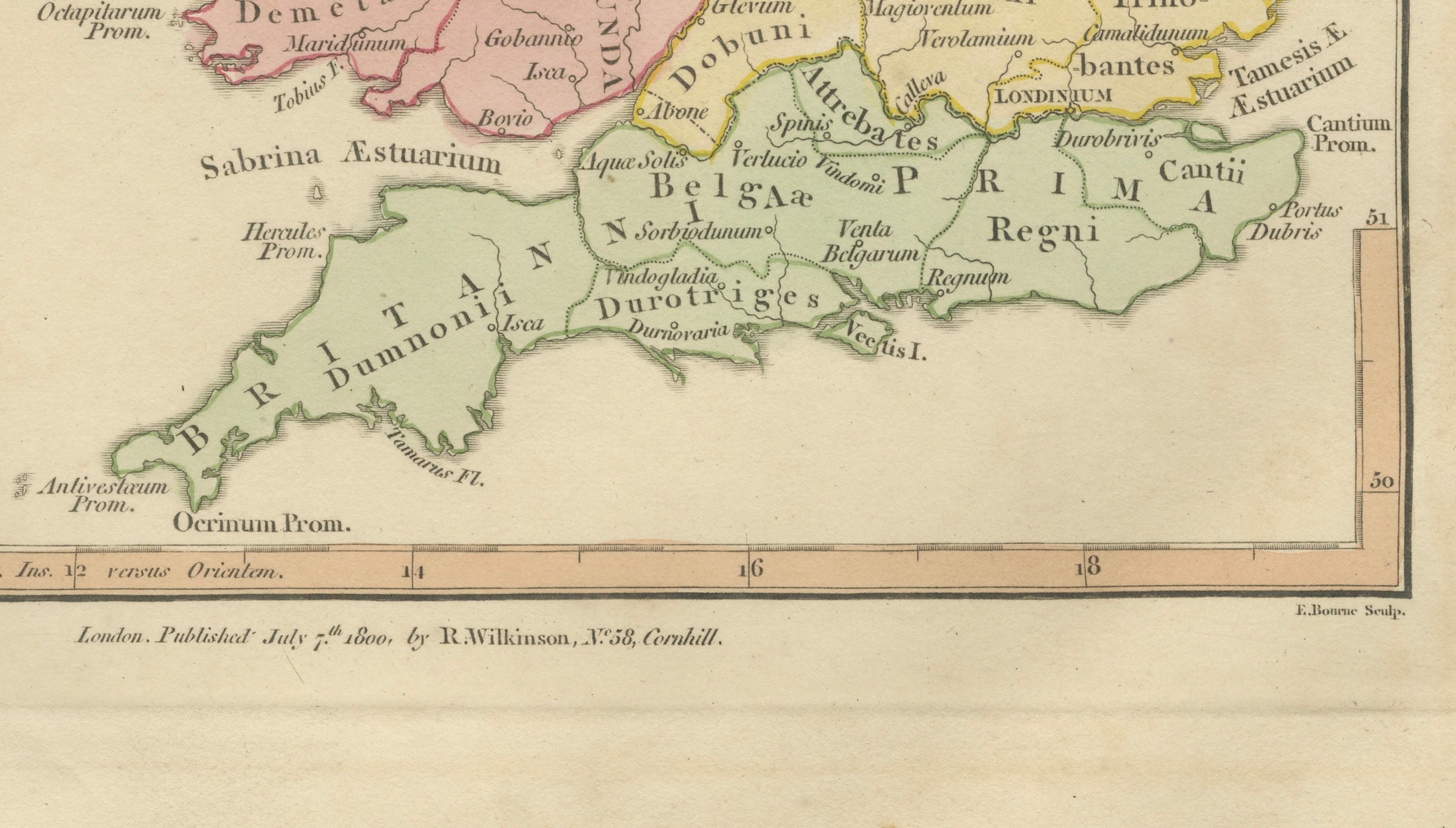
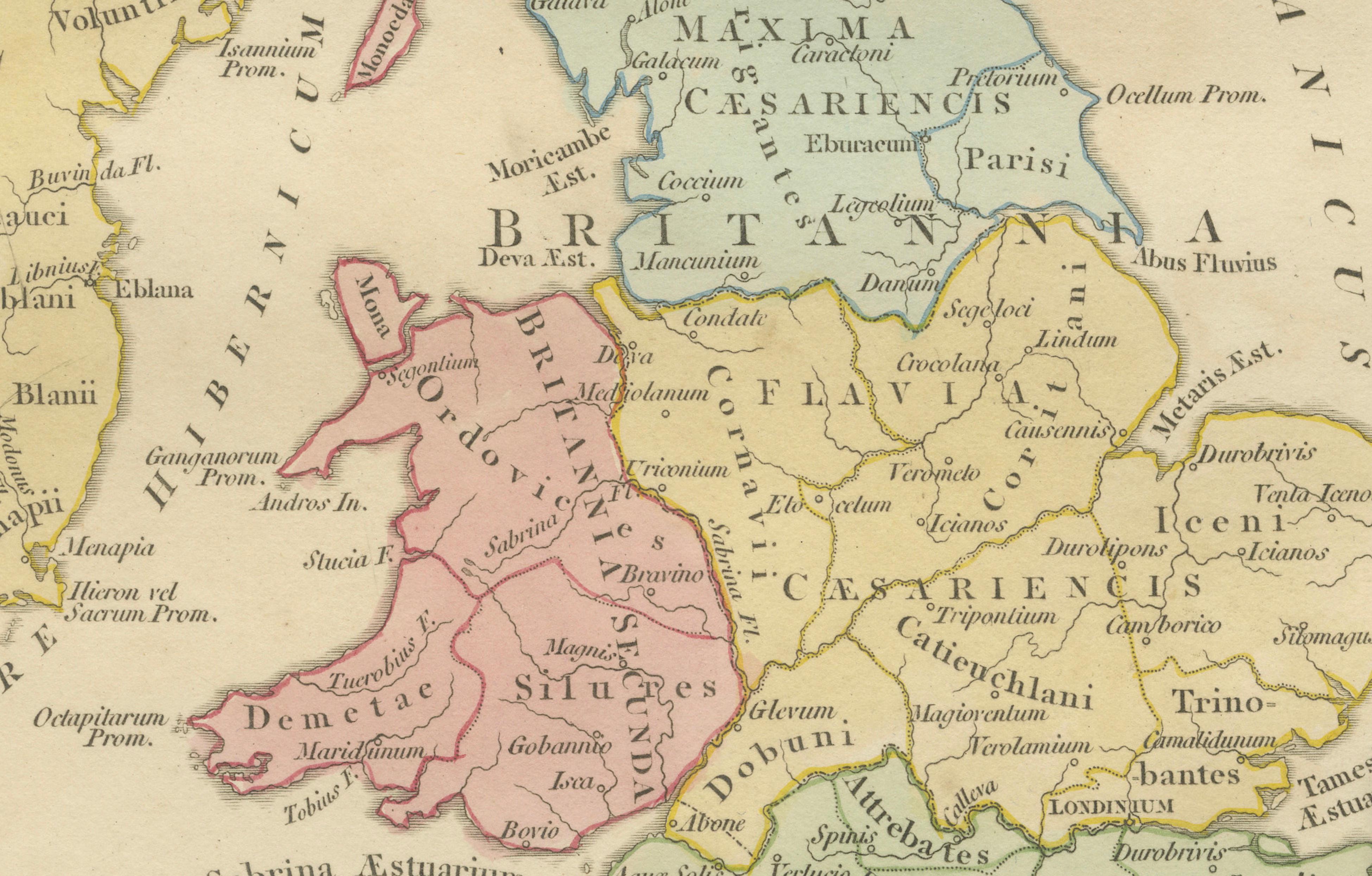
This finely engraved antique map titled Britannicae Insulae ex Ævi Romani Monumentis presents Great Britain and Ireland as understood during the Roman occupation, reconstructing the geography of Roman Britain through classical sources and antiquarian scholarship. Published in London in 1800 by Robert Wilkinson, the map belongs to his celebrated series illustrating the ancient world for early nineteenth-century audiences fascinated by classical history.
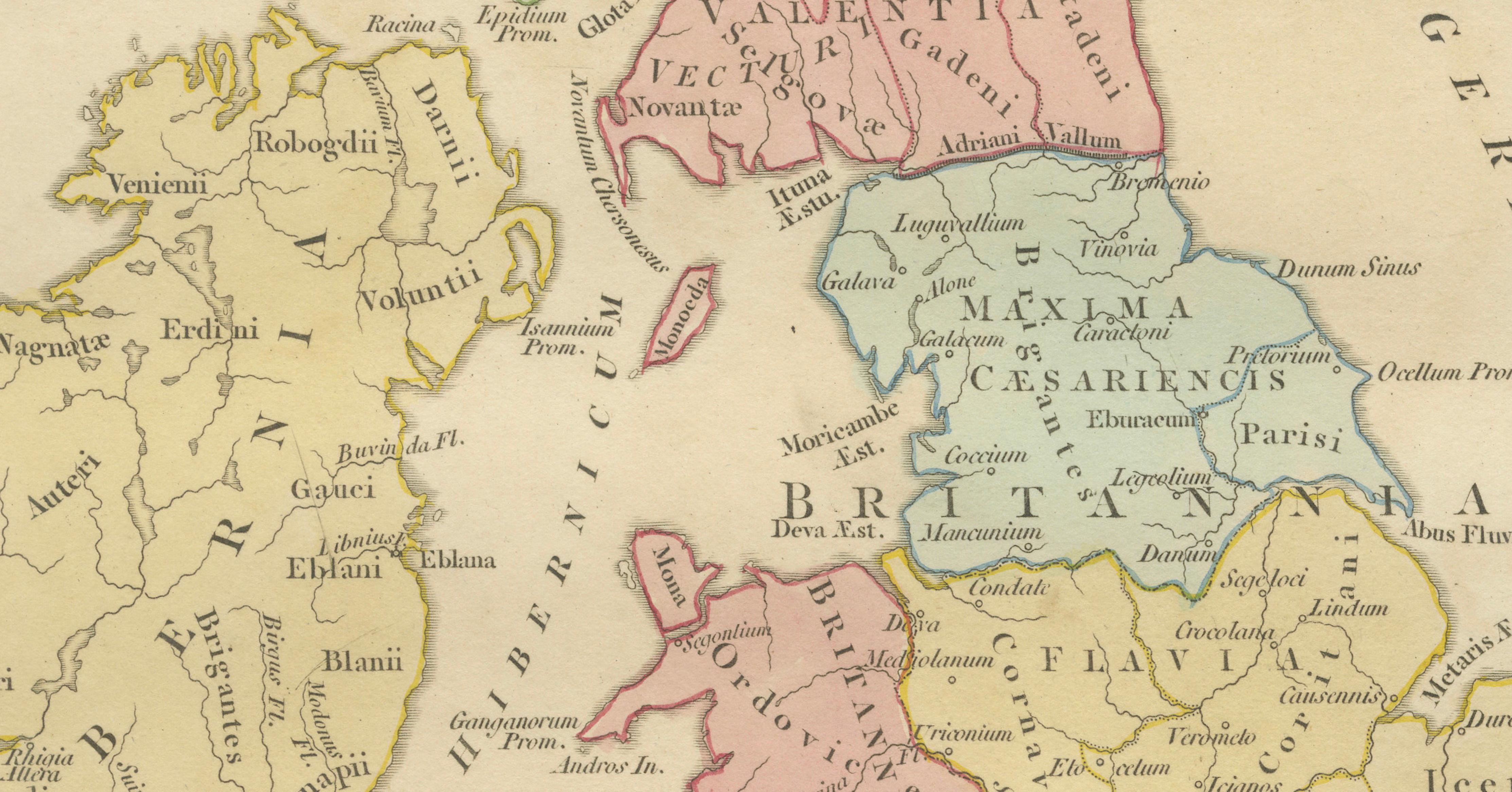
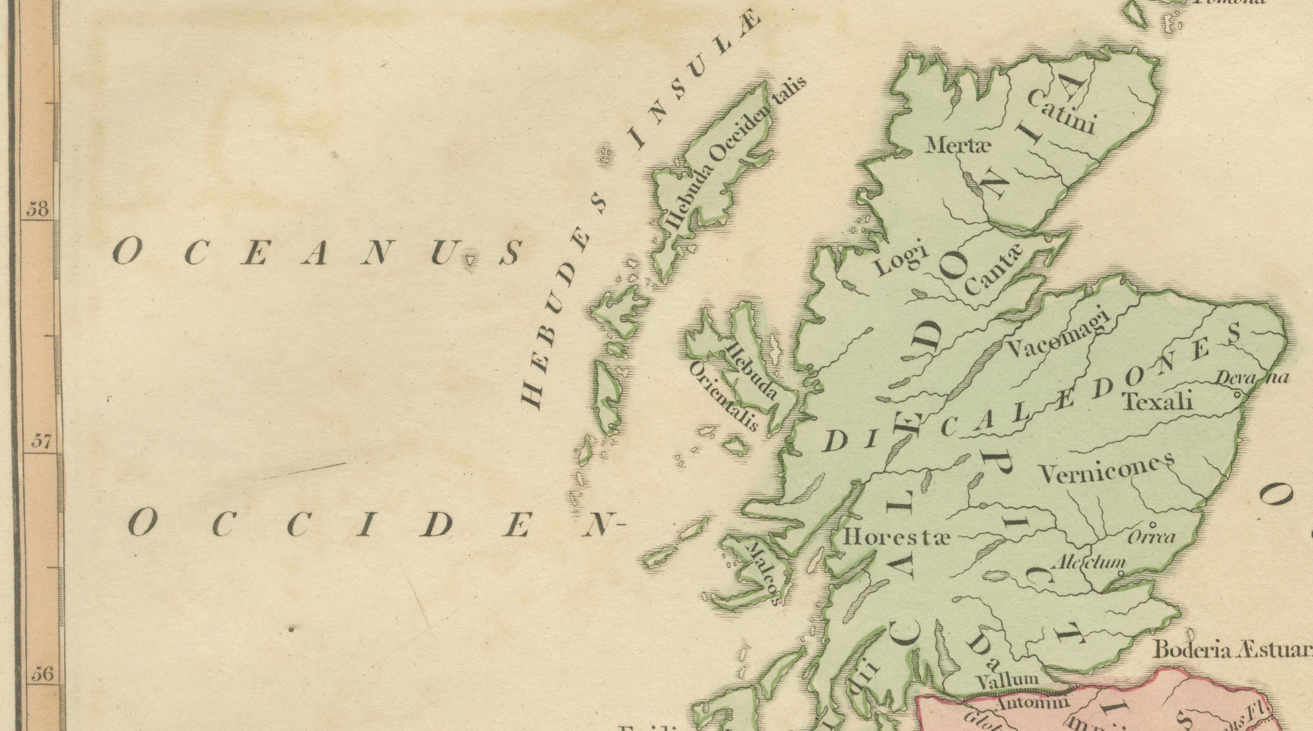
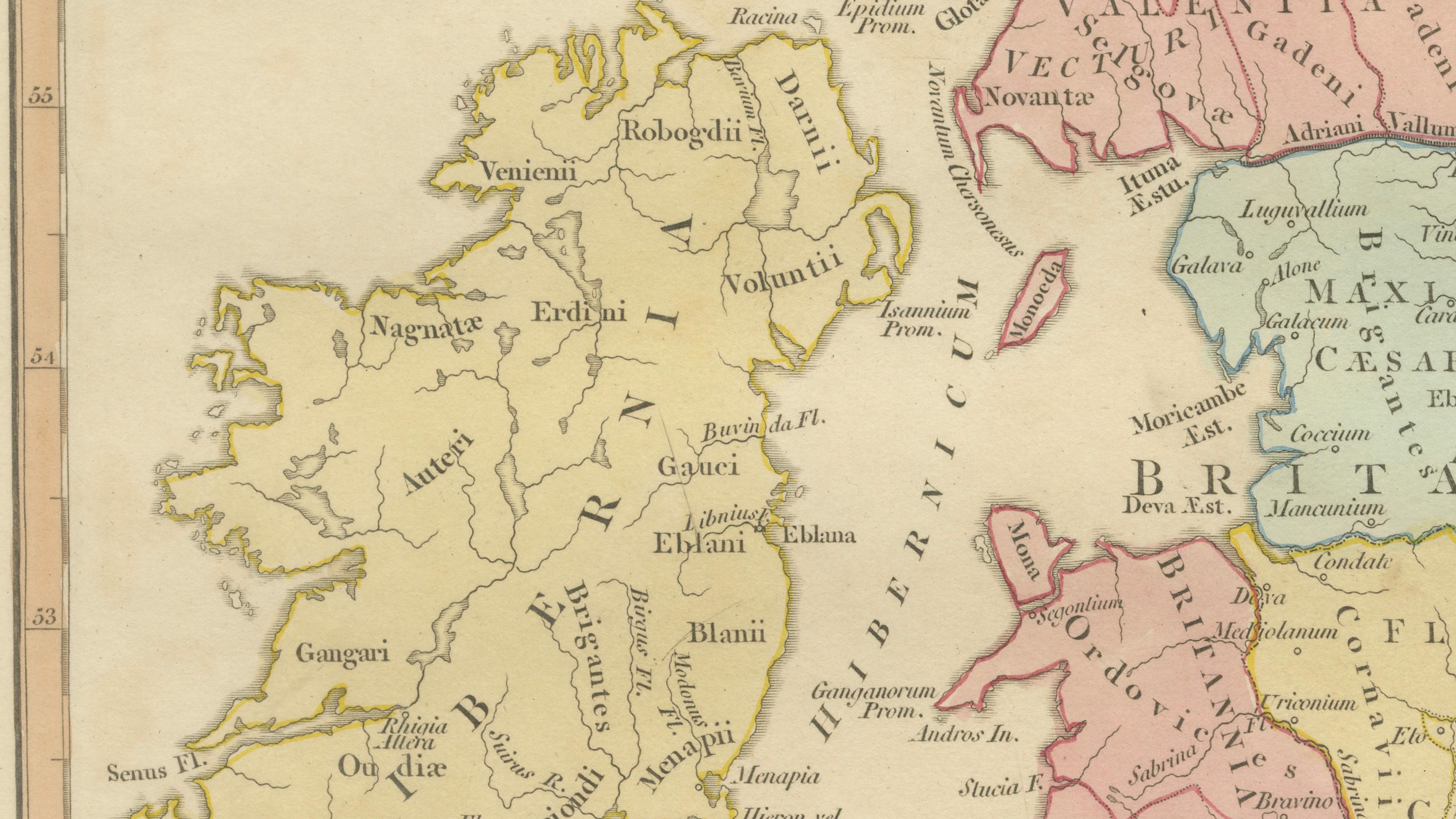
The composition depicts Britain divided into Roman provinces and tribal territories, carefully distinguished through delicate original hand coloring. Scotland appears as Caledonia, populated by tribes such as the Caledonii and Vacomagi, while Roman-controlled southern Britain shows regions including Britannia Prima, Flavia Caesariensis, Maxima Caesariensis, and Valentia. Ireland is represented as Hibernia, reflecting Roman-era geographical understanding rather than direct imperial administration.
Major Roman settlements and geographical features are clearly engraved, including Londinium, Eboracum (York), and the line of Hadrian’s Wall, emphasizing the northern frontier of Roman authority. Rivers, coastal outlines, and tribal regions are rendered with elegant clarity, balancing scholarly reconstruction with decorative refinement. Wilkinson’s restrained palette of pastel tones enhances readability while giving the map strong visual harmony, making it particularly appealing for interior display.
Produced during a period when classical education formed the foundation of European intellectual culture, Wilkinson’s historical maps served both as teaching tools and decorative objects. Today they are valued for their combination of Enlightenment scholarship, precise engraving, and timeless aesthetic appeal. This example offers a compelling visual narrative of Britain at the edge of the Roman Empire — a subject that continues to fascinate collectors of classical antiquity and British history alike.
Condition: Good antique condition overall. Light age-related toning with minor scattered spotting and faint handling wear to the margins. Plate mark visible.
Framing tips: Particularly effective in a dark walnut or ebonized frame with a warm ivory mount. A wide mat enhances the soft hand coloring and gives the map a refined museum presentation suitable for both traditional and modern interiors.
Technique: Copperplate engraving with original hand color
Maker: Robert Wilkinson, London, 1800
Keywords:
Britannicae Insulae, Roman Britain map, Britannia Prima, Flavia Caesariensis, Maxima Caesariensis, Valentia, Caledonia, Hibernia, Londinium, Eboracum, Hadrian’s Wall, Roman provinces Britain, ancient England map, Roman Scotland, Roman Wales, classical British Isles, Wilkinson Atlas 1800, Roman Empire Britain, ancient geography Britain, antiquarian British map, classical cartography London