United Kingdom & Ireland · 18th century
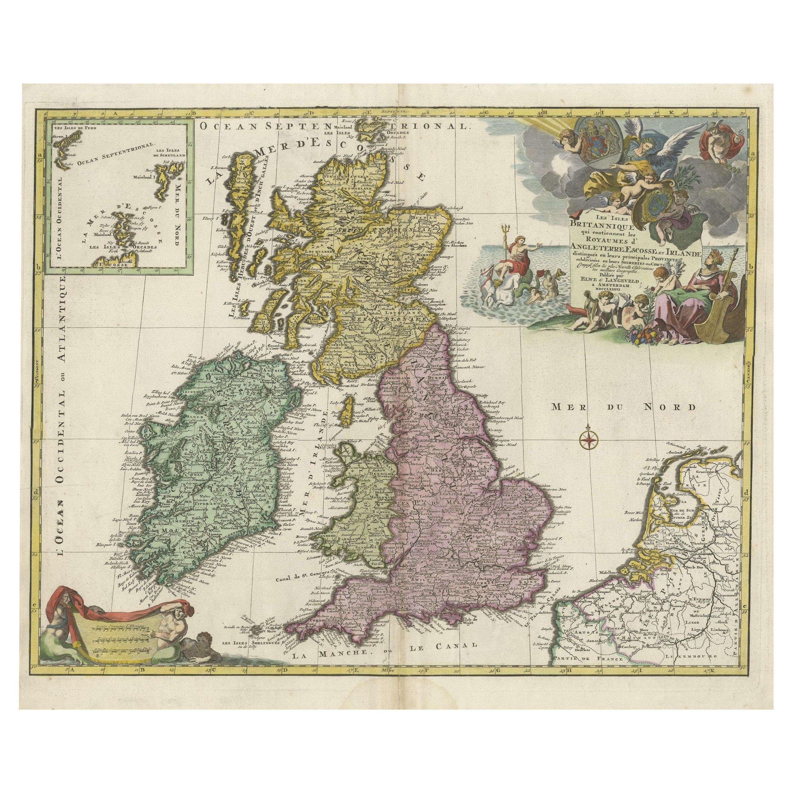
Old Map of the UK & Ireland, Insets of Orkney, Shetland and Faroe Islands, 1786
€ 1 350
One of a kind: this is the sheet in the photographs. Ships from Langweer, the Netherlands.
- Date
- 1786
- Sheet size
- 59.2 × 47.2 cm (23.3 × 18.6 in)
- Condition
- Good
- Reference
- BG-13197-1
Condition
Condition Doubled; vague waterstain in centre lower edge not into image; nice modern handcolouring.