About this sheet
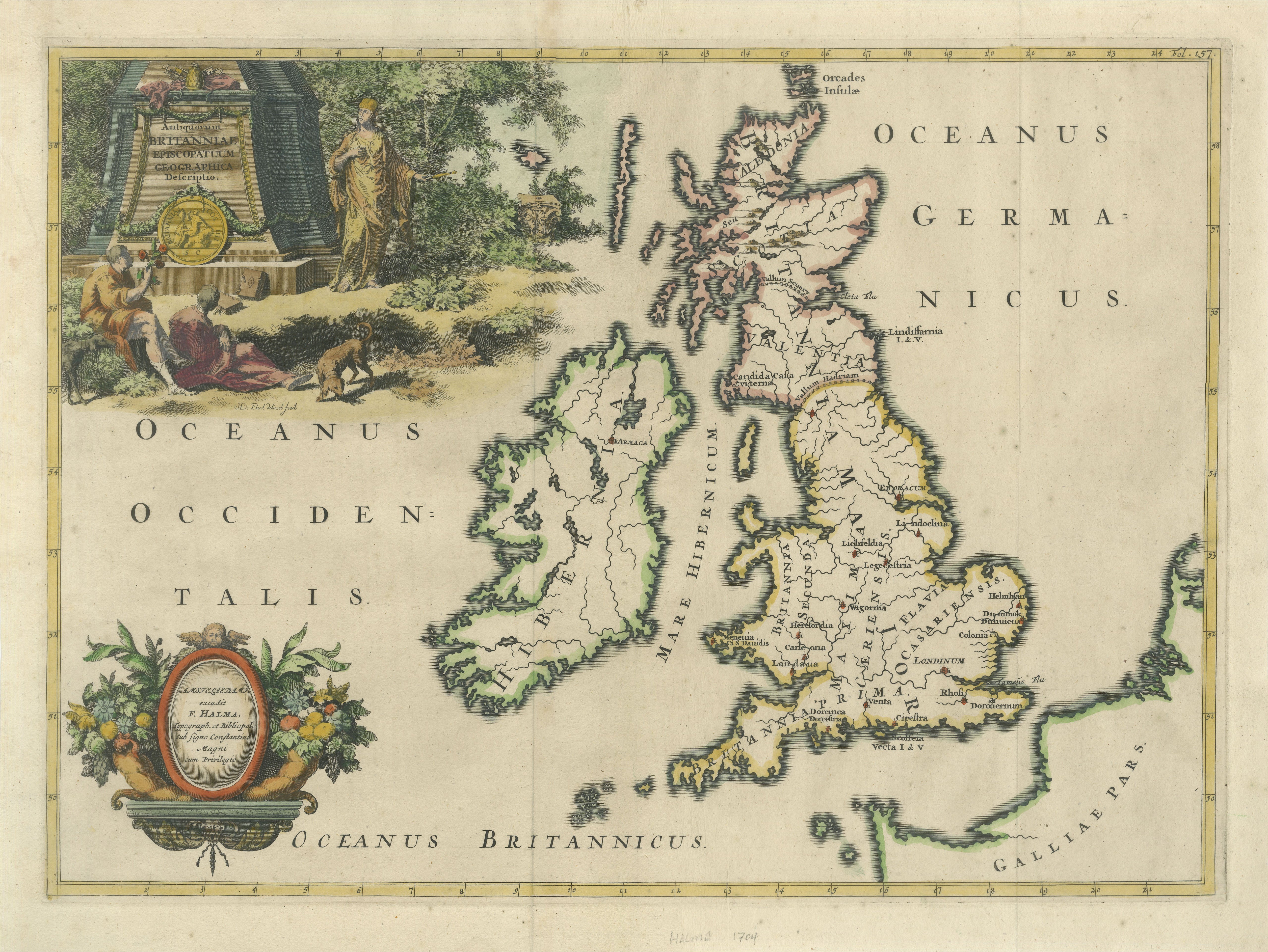
Ancient British Isles & Early Bishoprics Map, François Halma, 1704
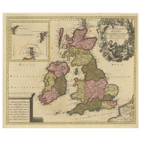
A highly decorative early 18th-century map of the British Isles, presenting Britain and Ireland according to their ancient ecclesiastical and geographical divisions. Published by François Halma in 1704, the map is titled “Antiquorum Britanniae Episcopatuum Geographica Descriptio” and is distinguished by its unusually large pictorial decoration and fine hand coloring.
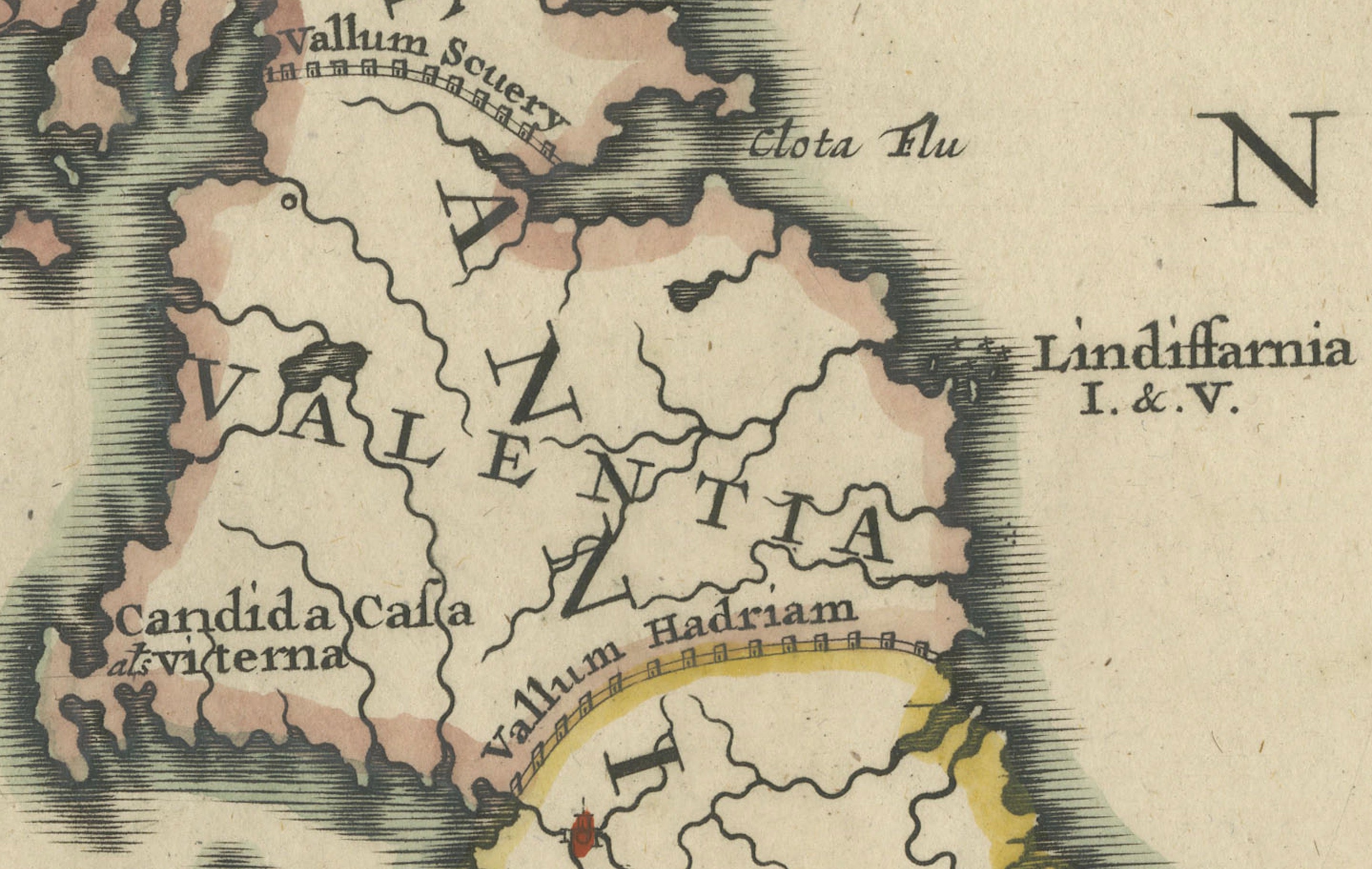
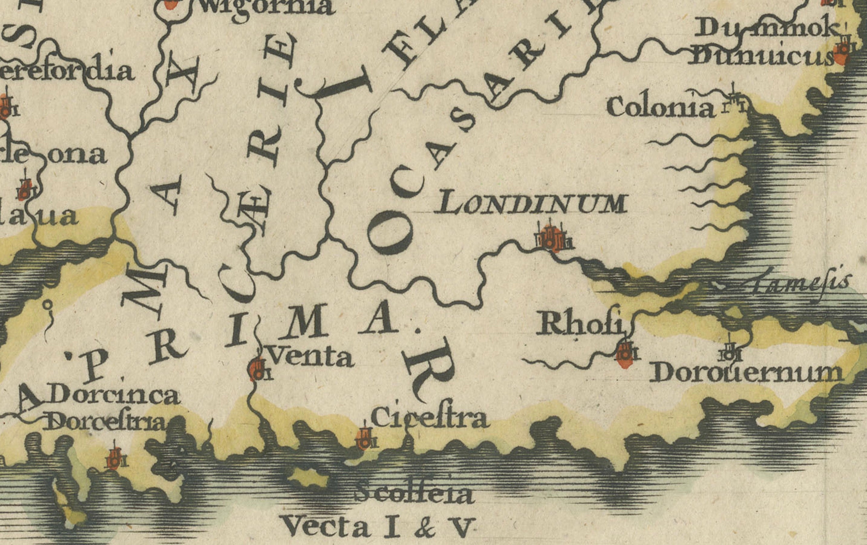
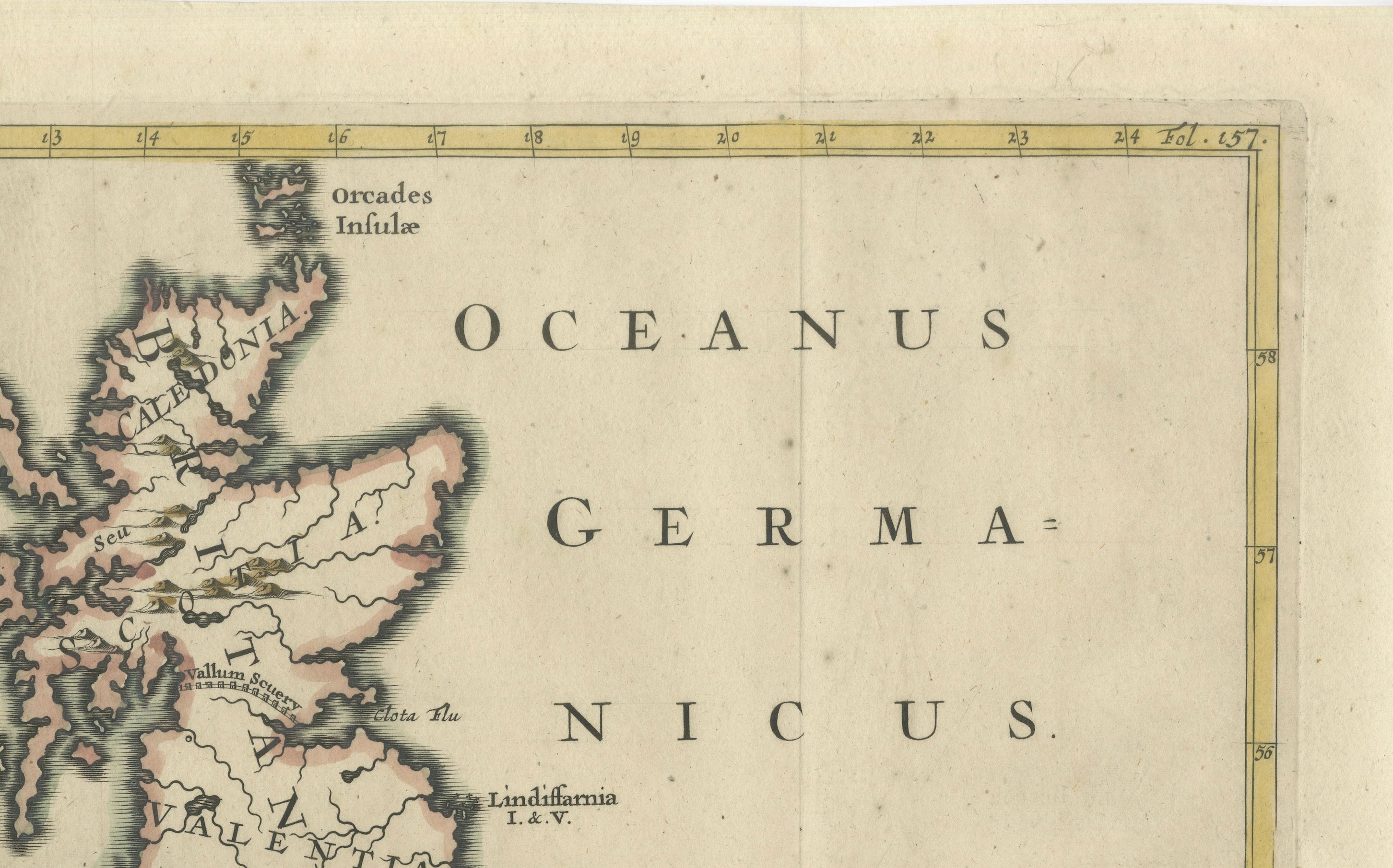
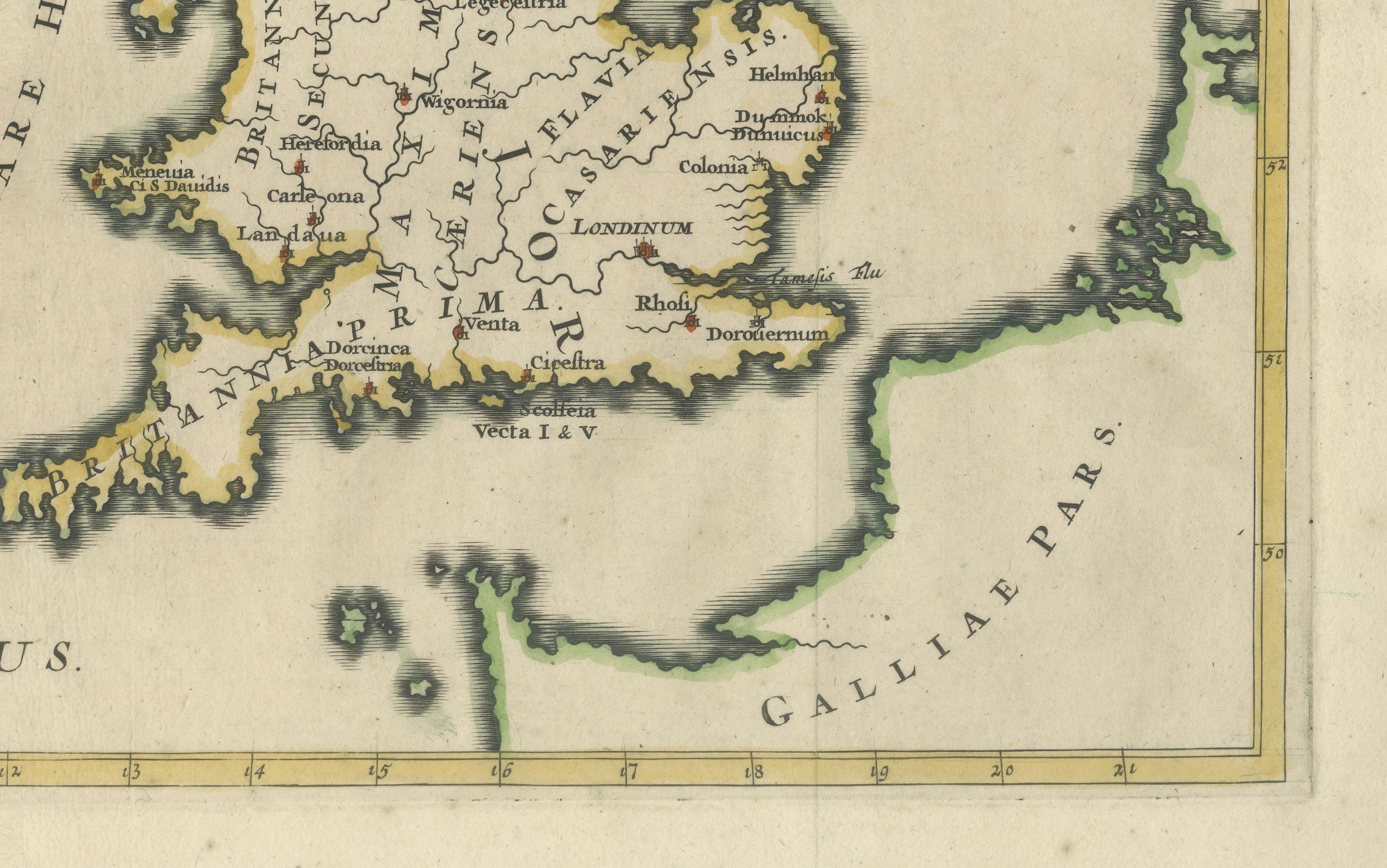
Great Britain is divided into ancient regions and early bishoprics, with classical and historical place names including Londinium, Cantium, Valentia, Britannia Prima and Britannia Secunda. Ireland appears as Hibernia, while Scotland is shown with its ancient regional divisions. Hadrian’s Wall is also indicated across northern Britain.
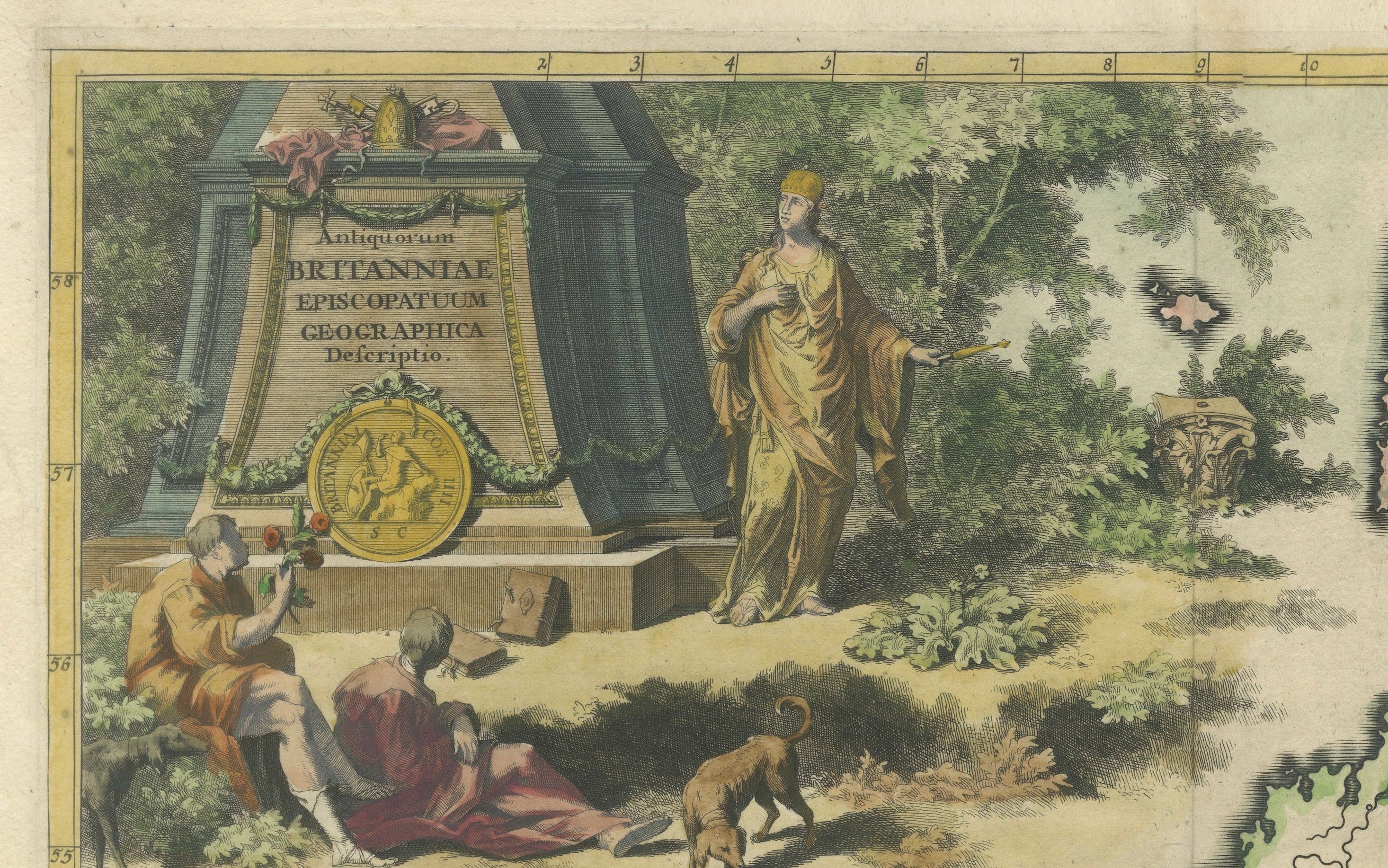
The upper-left corner contains an impressive allegorical scene centered on a monumental stone inscription bearing the map’s title. Classical figures, architectural ruins, vegetation and an ancient coin create an elaborate historical setting, transforming the map into both a cartographic and decorative work.
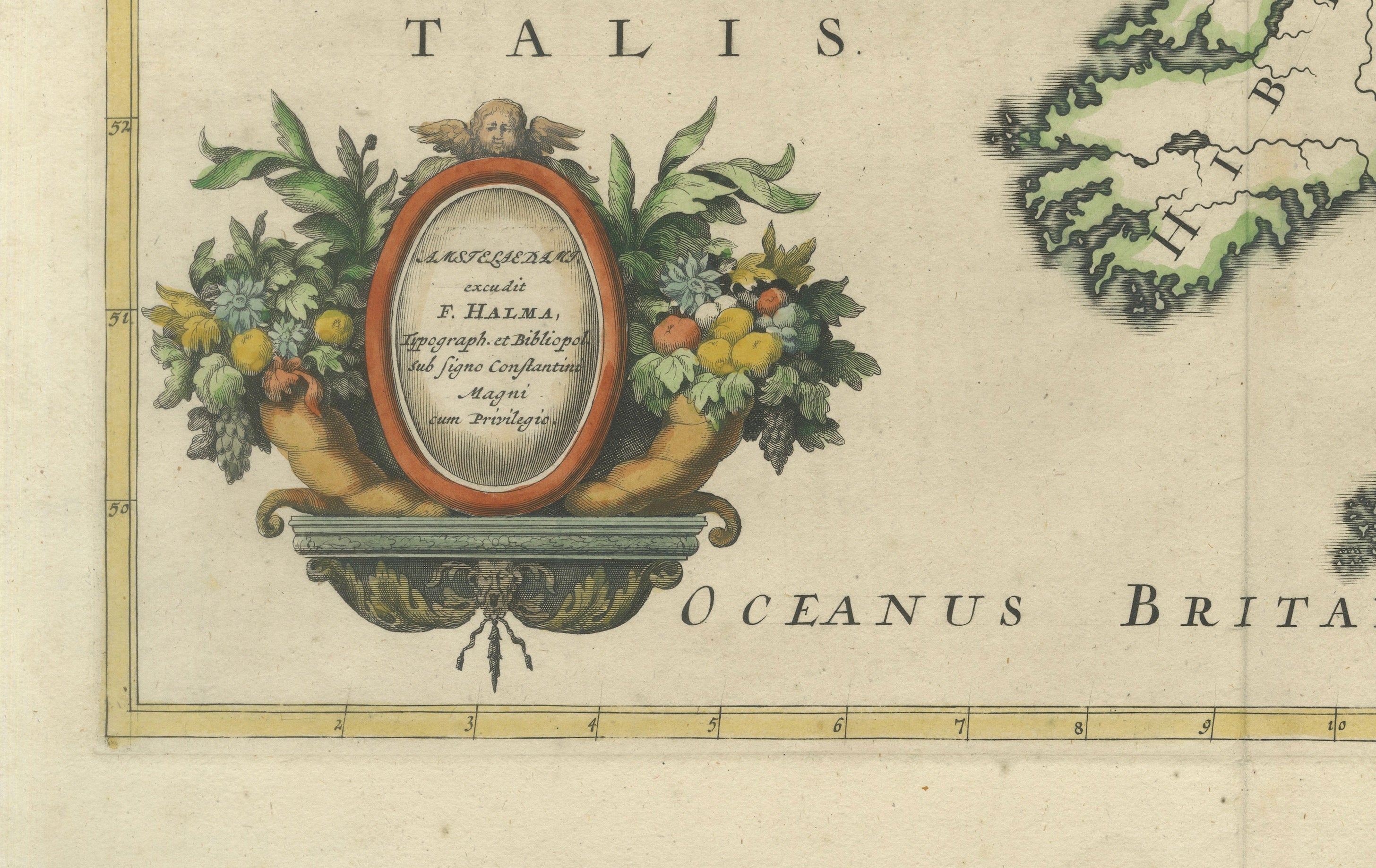
A second finely engraved cartouche at lower left is surrounded by abundant fruit, flowers and ornamental foliage, providing a particularly attractive counterpoint to the restrained geography of the map itself.
François Halma (1653–1722) was an important Dutch printer, publisher and bookseller active in Utrecht and Amsterdam. His publications included historical, geographical and classical works, many distinguished by accomplished engraved illustrations and maps.
Title: Antiquorum Britanniae Episcopatuum Geographica Descriptio
Publisher: François Halma
Place of Publication: Netherlands
Date: 1704
Medium: Copper engraving with hand coloring
Dimensions: Plate approximately 37.5 x 51.5 cm (14.75 x 20.25 inches)
Condition:
Good antique condition overall. Some scattered spotting, light surface dirt and age-related toning are visible. Old folds are present as issued. Good margins surround the engraved area. Please review the photographs carefully for further condition details and contact us if you would like a comprehensive condition report.
This is an original antique copper engraving published in 1704, not a modern reproduction.
Sold unframed. Any framed or interior images are for presentation and inspiration only.
Keywords:
François Halma, Halma map, British Isles map, antique Britain map, antique Ireland map, ancient Britain, Hibernia map, Roman Britain map, early bishoprics, ecclesiastical map, Londinium, Hadrian's Wall, Britannia Prima, Britannia Secunda, Valentia, antique England map, antique Scotland map, antique Ireland map, 1704 map, Dutch cartography, hand colored map, copper engraving, historical map, decorative map, Baroque map, British history, ancient geography
Style: Baroque