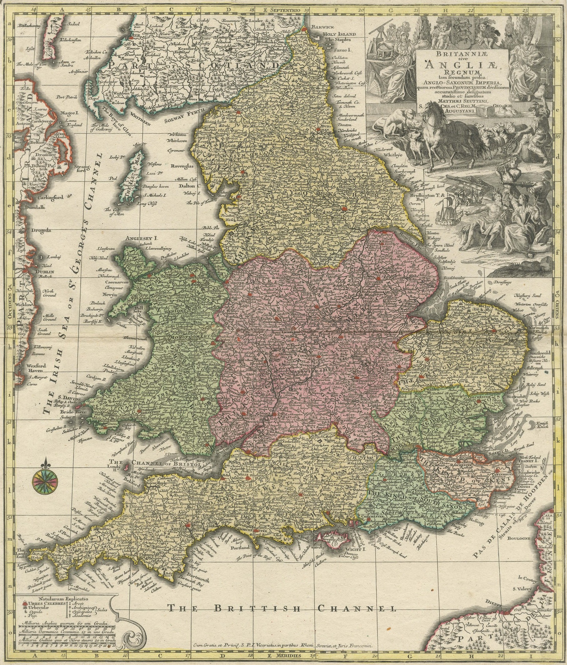
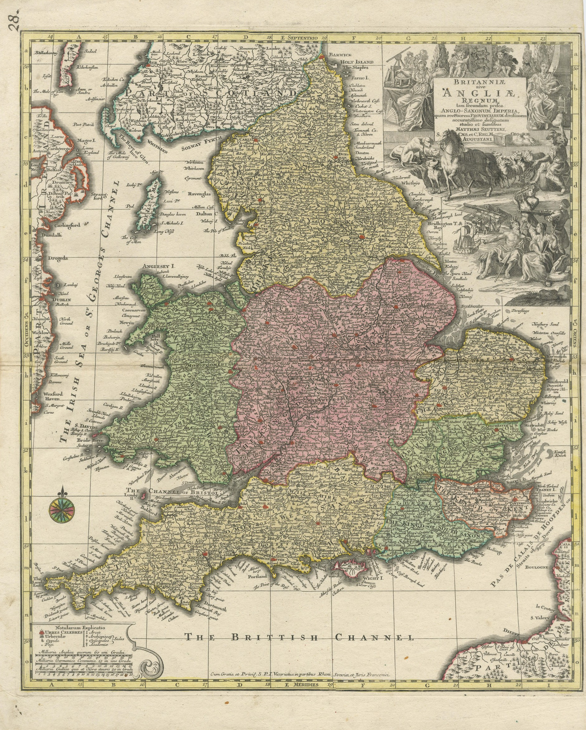
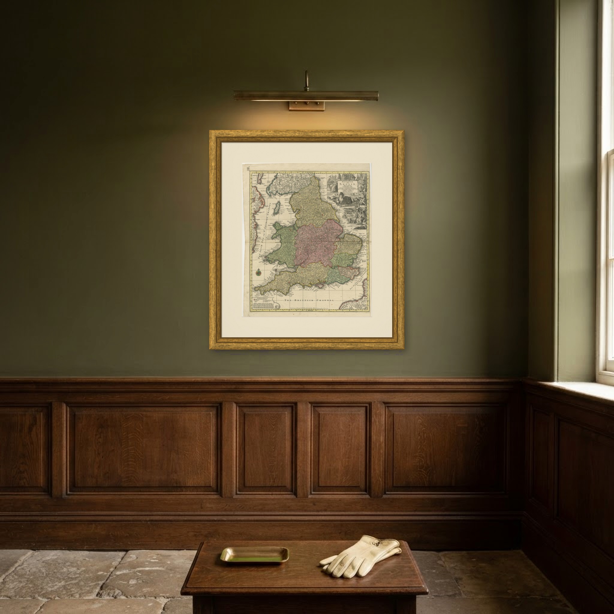
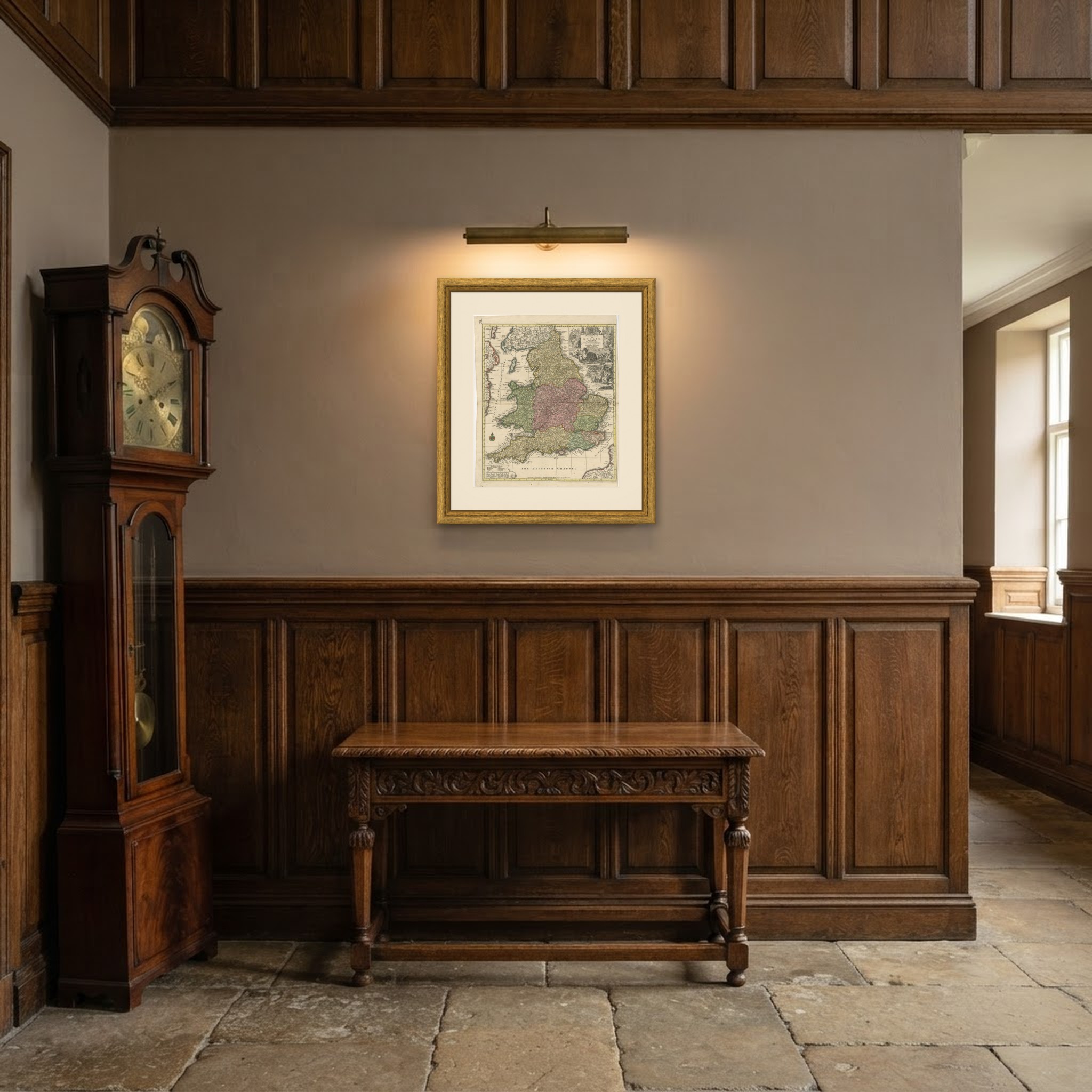
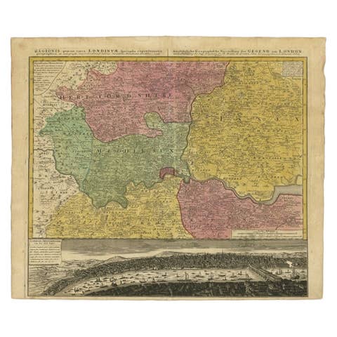
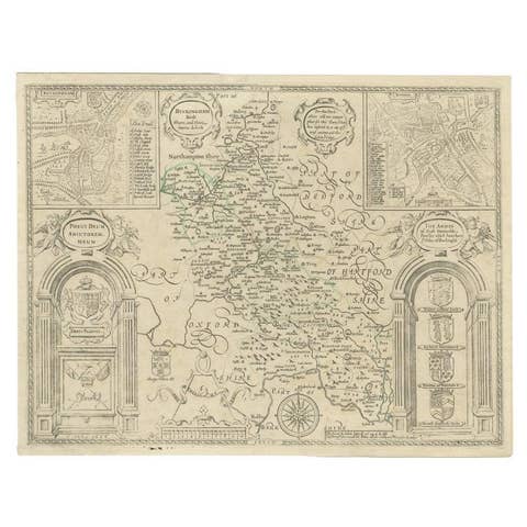
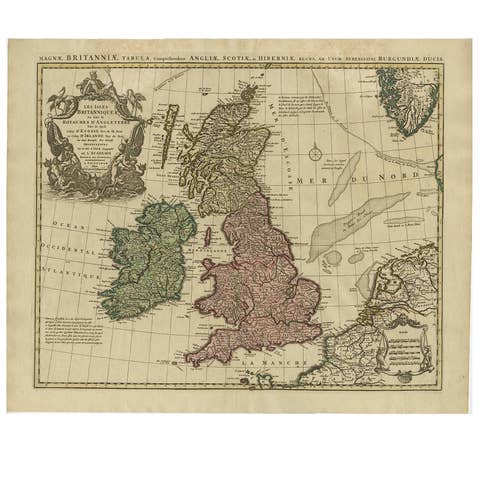
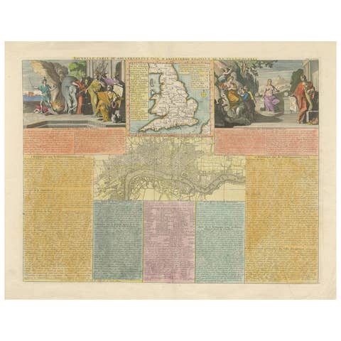
Britannia, Antique Map of England with Hunting Vignettes, circa 1740
€ 570
Original antique · The actual sheet photographed · Certificate of authenticity on request · Sold unframed · Worldwide shipping from € 15 (rates)
Date
circa 1740
Mapmaker / artist
Unnamed engraver
Publisher
Published in London
Technique
Copper Engraving
Coloring
Original hand color
Sheet size
64 × 52 cm (25.2 × 20.5 in)
Condition
Good
Reference
BG-14357-2
What the condition grades mean
Excellent
Bright and clean, with no faults worth mentioning.
Very good
Only light signs of age, such as faint toning.
Good
Normal signs of age for a sheet of this period: toning, some foxing, small marks or neat old repairs.
Fair
Clear faults such as staining, tears or repairs, priced to match.
Every fault we see is written in the condition note, and the whole sheet is shown uncropped in the photos.
Condition
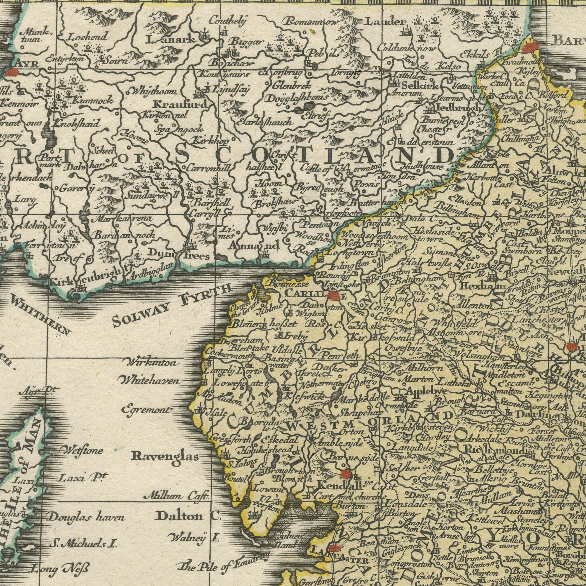
The right edge is uneven in one place. Light uneven toning, browner towards the edges. Marked handling soiling along the bottom and top edges. Scattered light foxing in the margin.
About this sheet
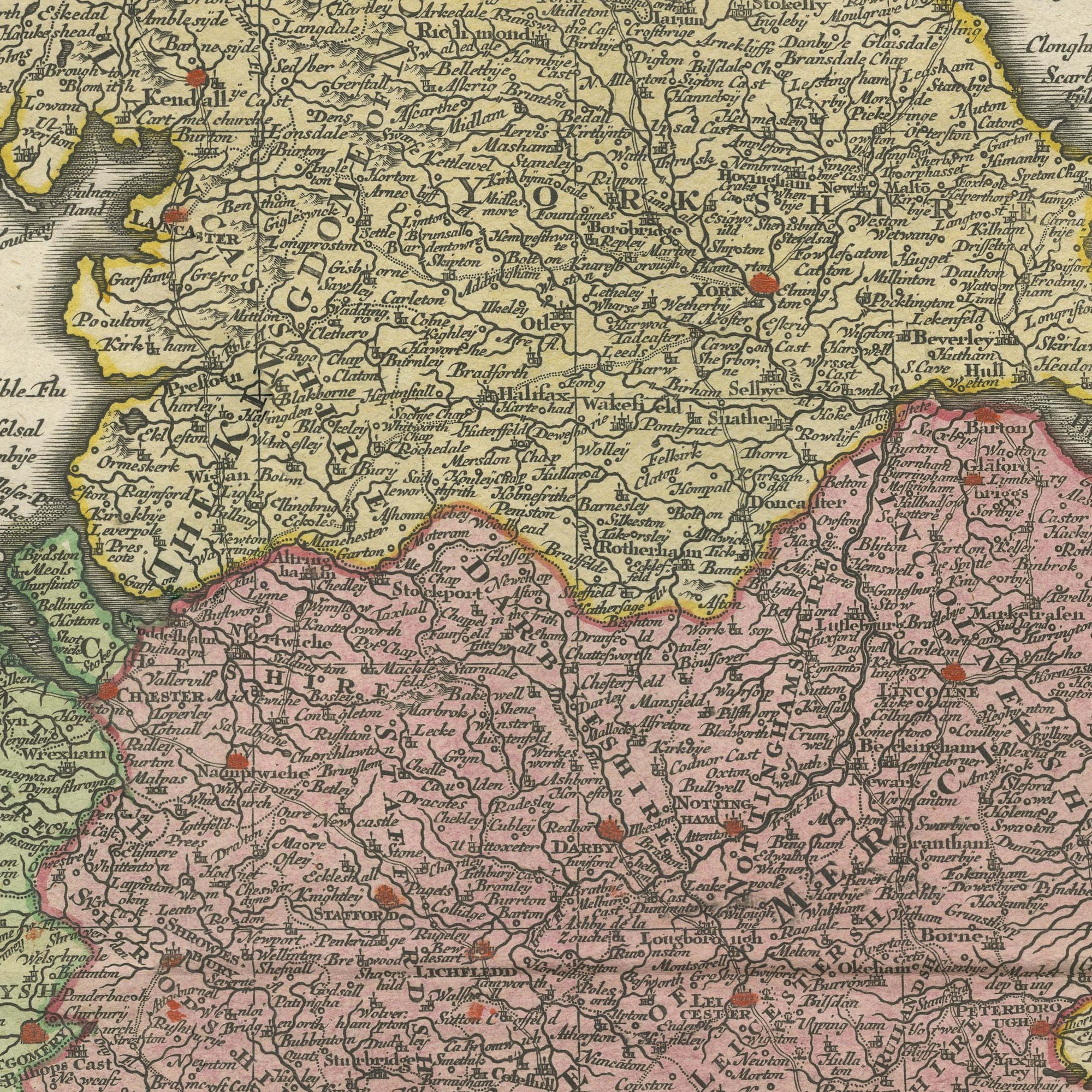
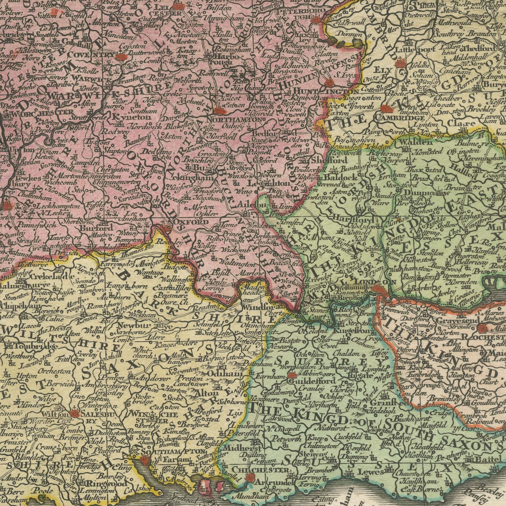
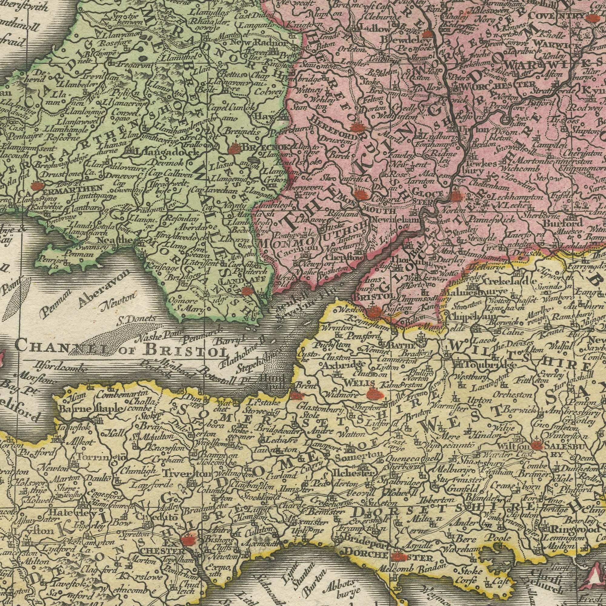
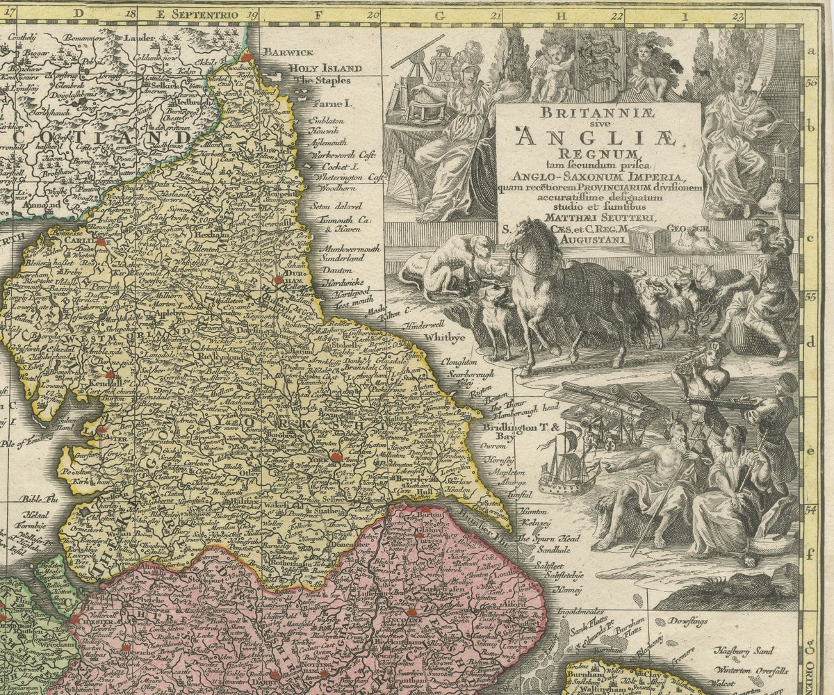
A large original antique hand colored map of England and Wales, the counties washed in pink, green and yellow and the whole sheet numbered 28 at the upper left. The title panel at the upper right is lettered BRITANNIAE ANGLIAE REGNUM and is flanked by four engraved vignettes of country life, among them hounds and hunting scenes and figures working in the fields. The Channel is lettered across the foot of the map in spaced capitals as The Brittish Channel, the Irish Sea as The English Sea or St Georges Channel, and the Welsh and Cornish coasts are picked out in a heavier wash.
Maps of this kind were issued as plates in the large composite geographies that English publishers sold by subscription in the first half of the eighteenth century, and the vignettes around the title are the giveaway: they were added to make the sheet attractive on its own account, not to convey information. The spelling Brittish and the lettering of the sea names place it comfortably before the middle of the century.
The hunting vignettes give this map its character. They bring an English country subject to the sheet as well as a cartographic one, and they make it work in a dining room or a sporting interior where a plain county map would not. It is a commanding piece of paper, and the original coloring is fresh.
The right edge is uneven in one place. Light uneven toning, browner towards the edges. Marked handling soiling along the bottom and top edges. Scattered light foxing in the margin.
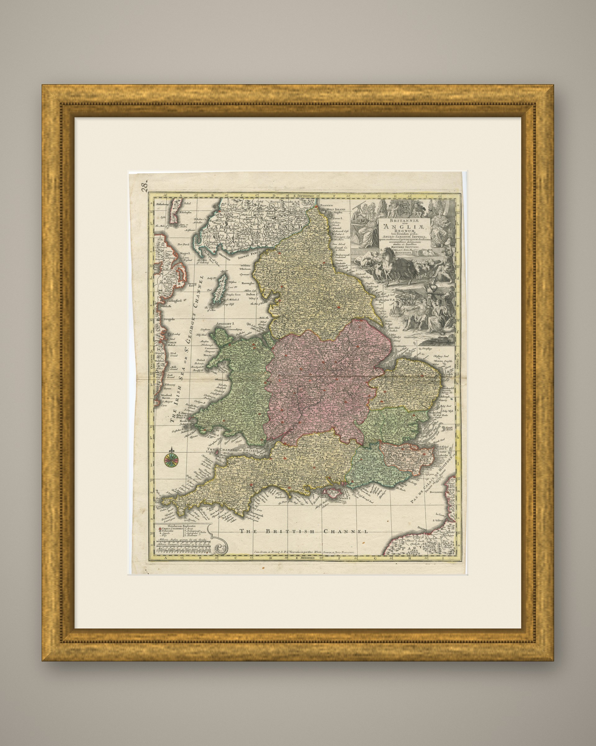
This is an original antique map, not a modern reproduction. This item is sold unframed. Any framed or interior images are shown for presentation and inspiration only, unless the listing explicitly states that the item is sold framed.