About this sheet
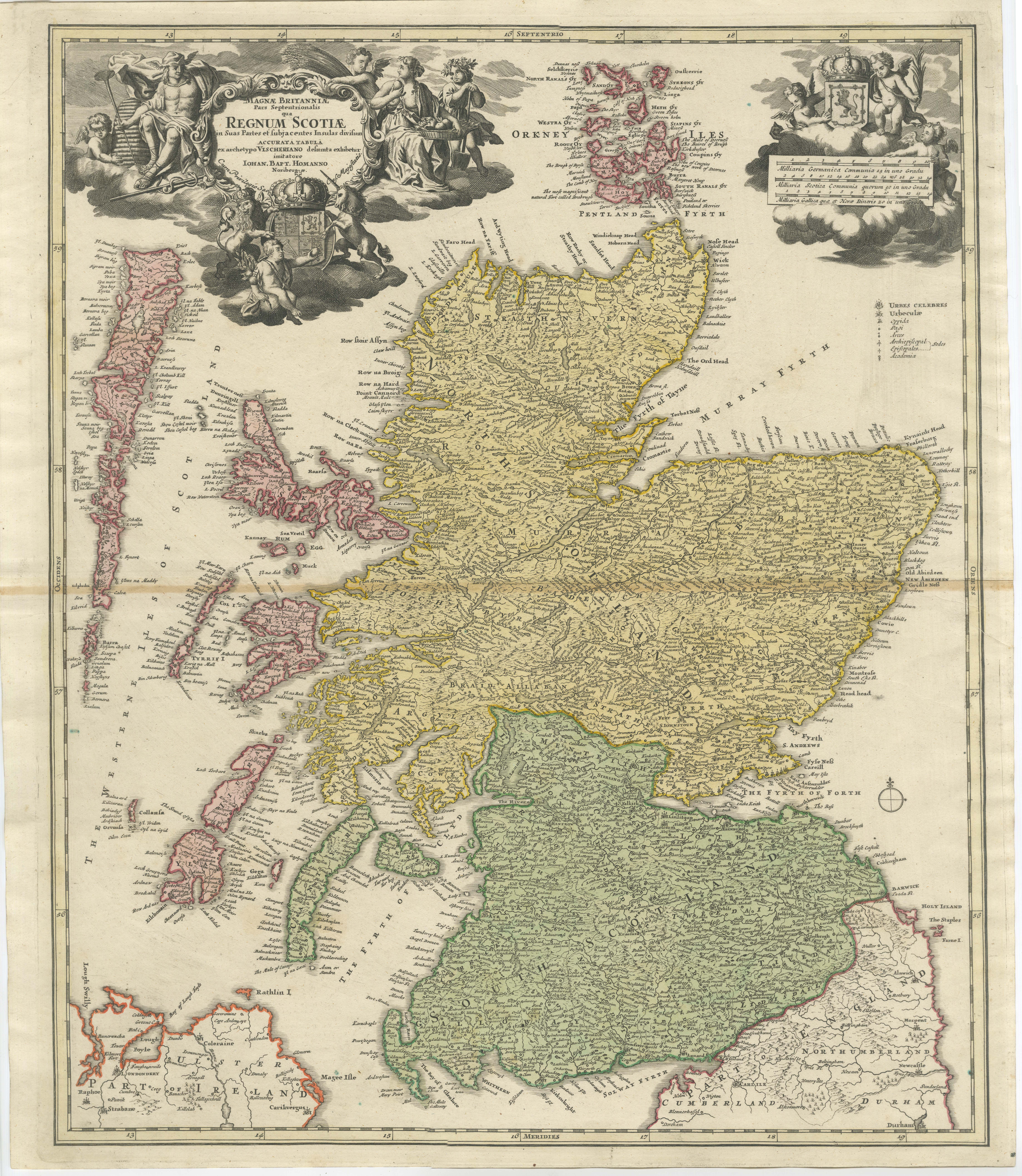
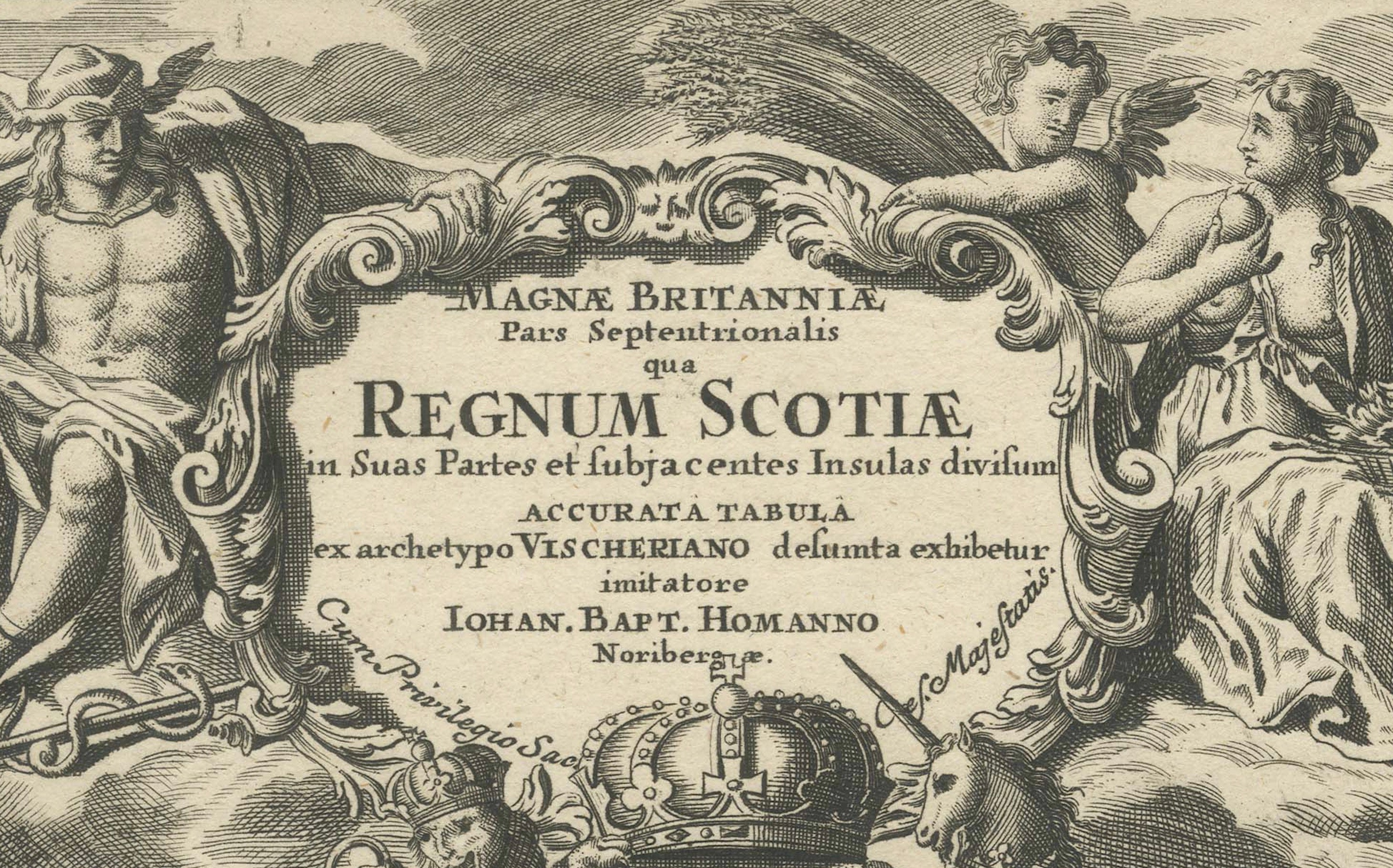
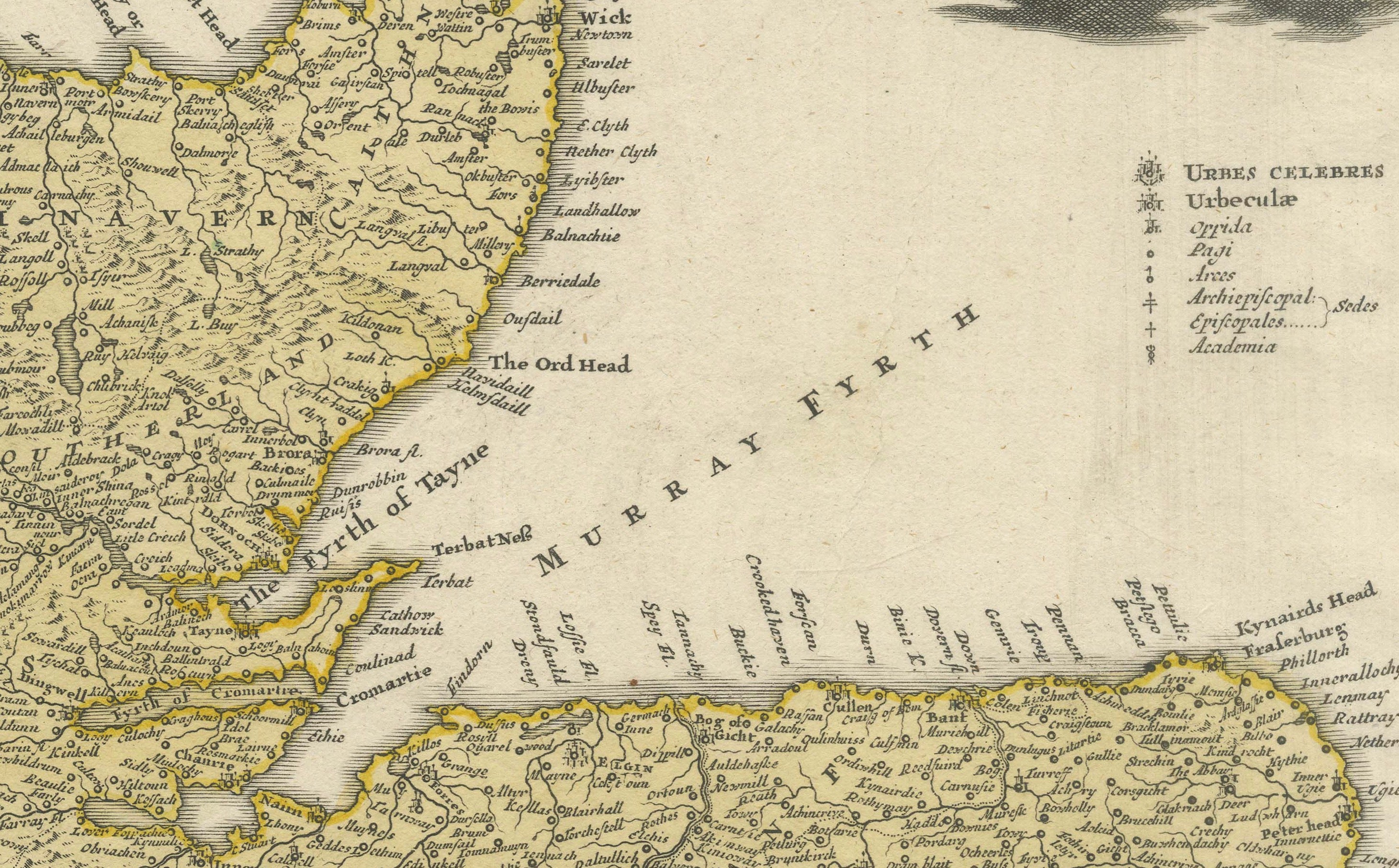
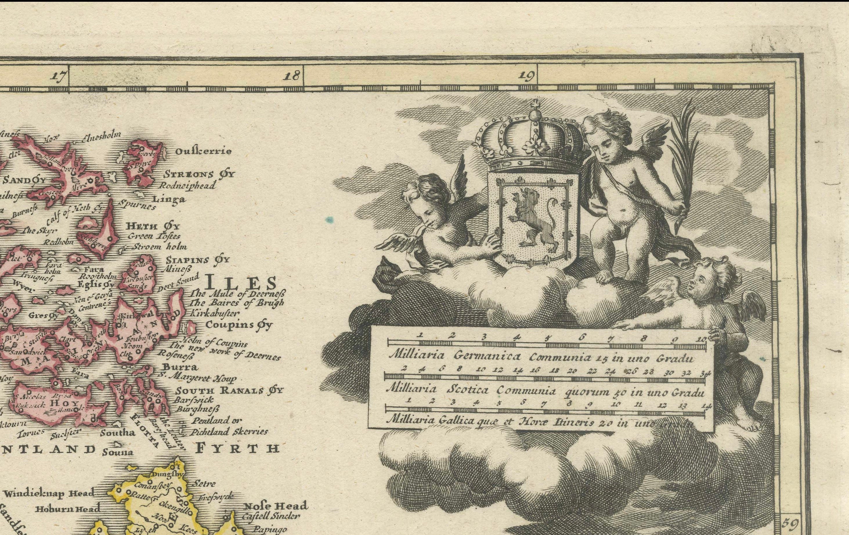
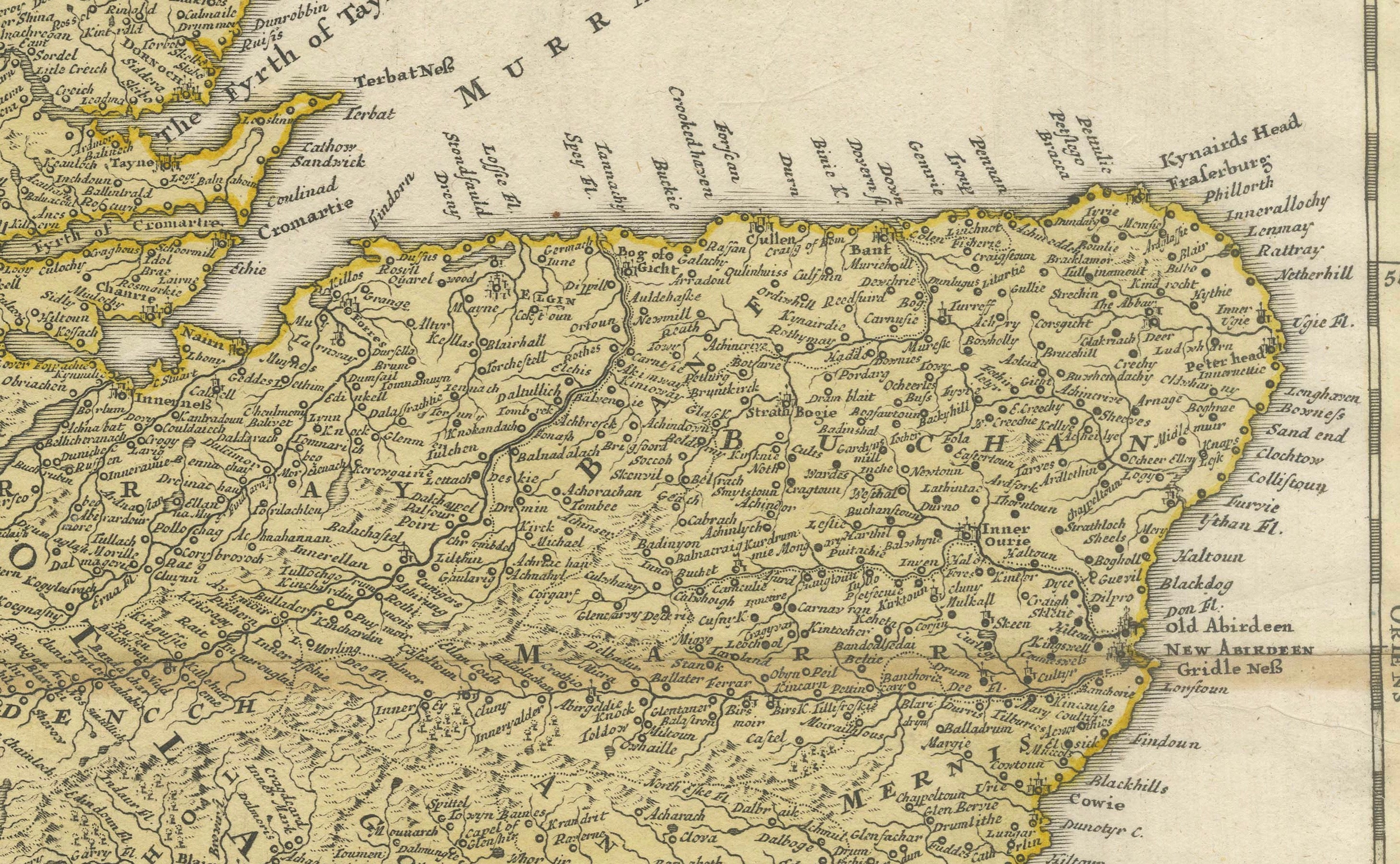
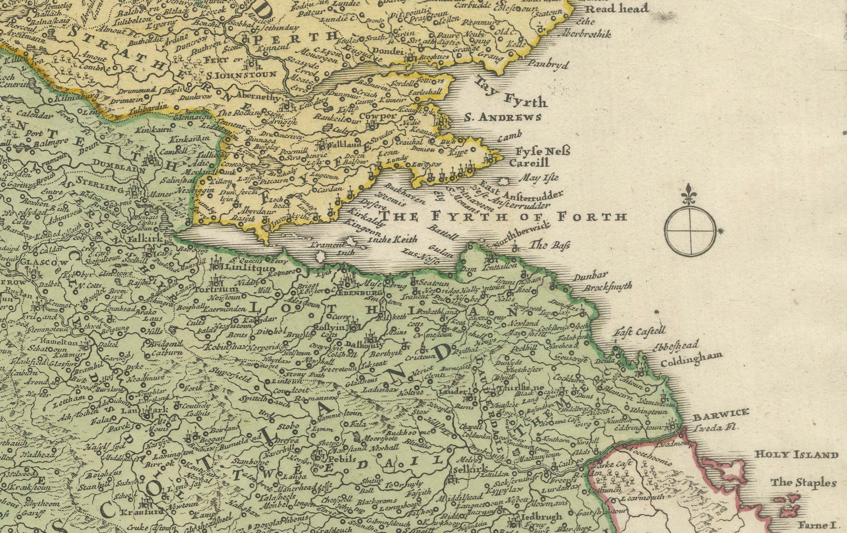
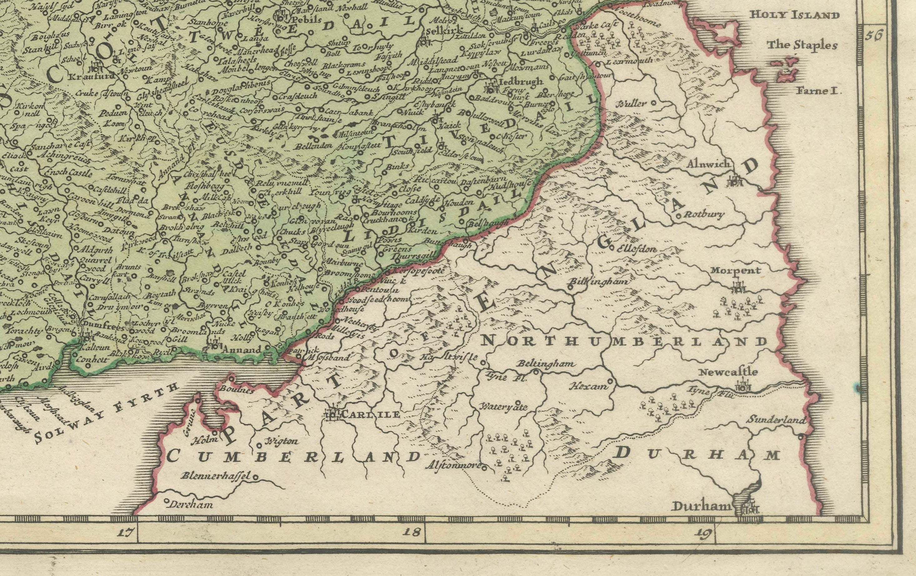
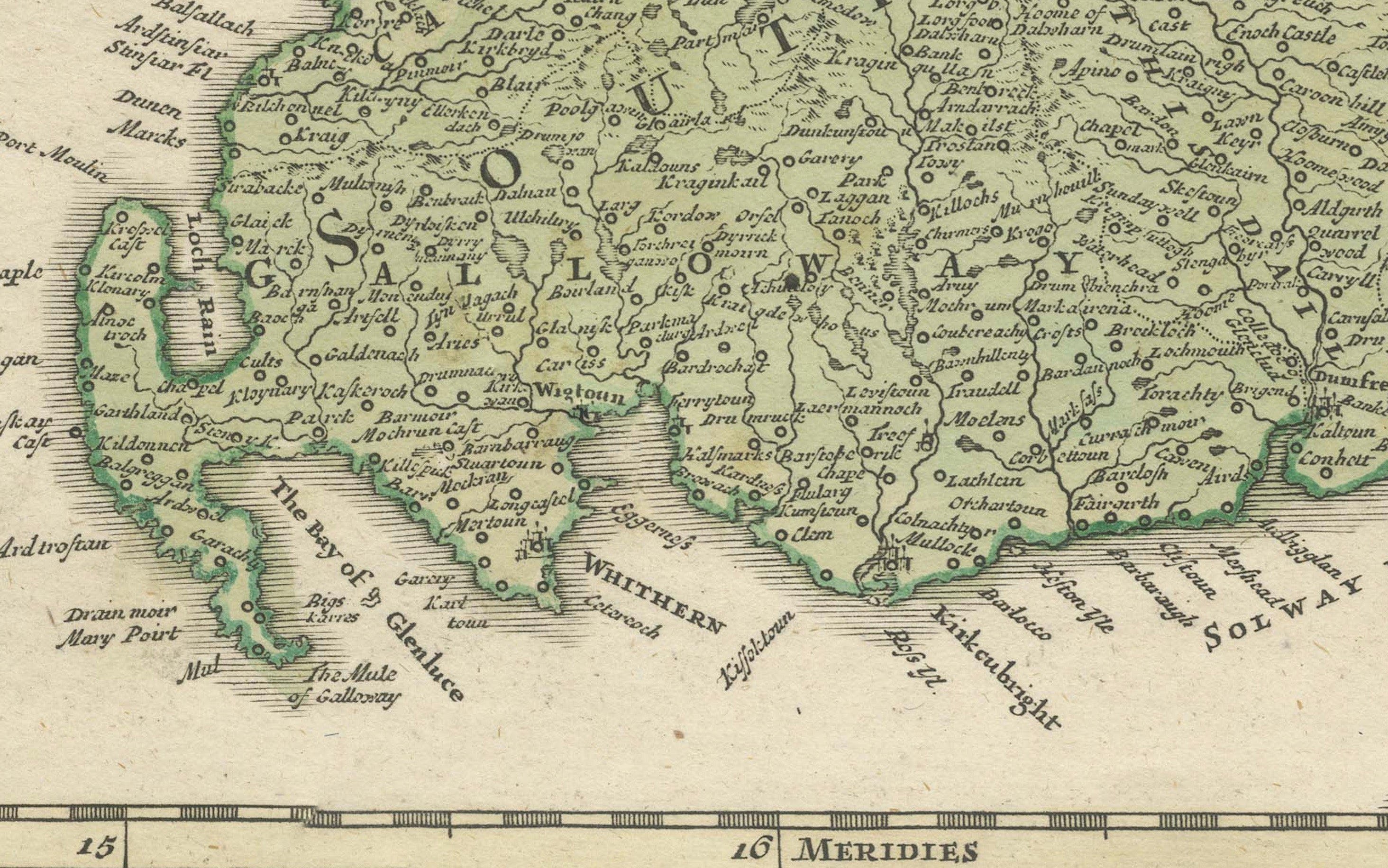
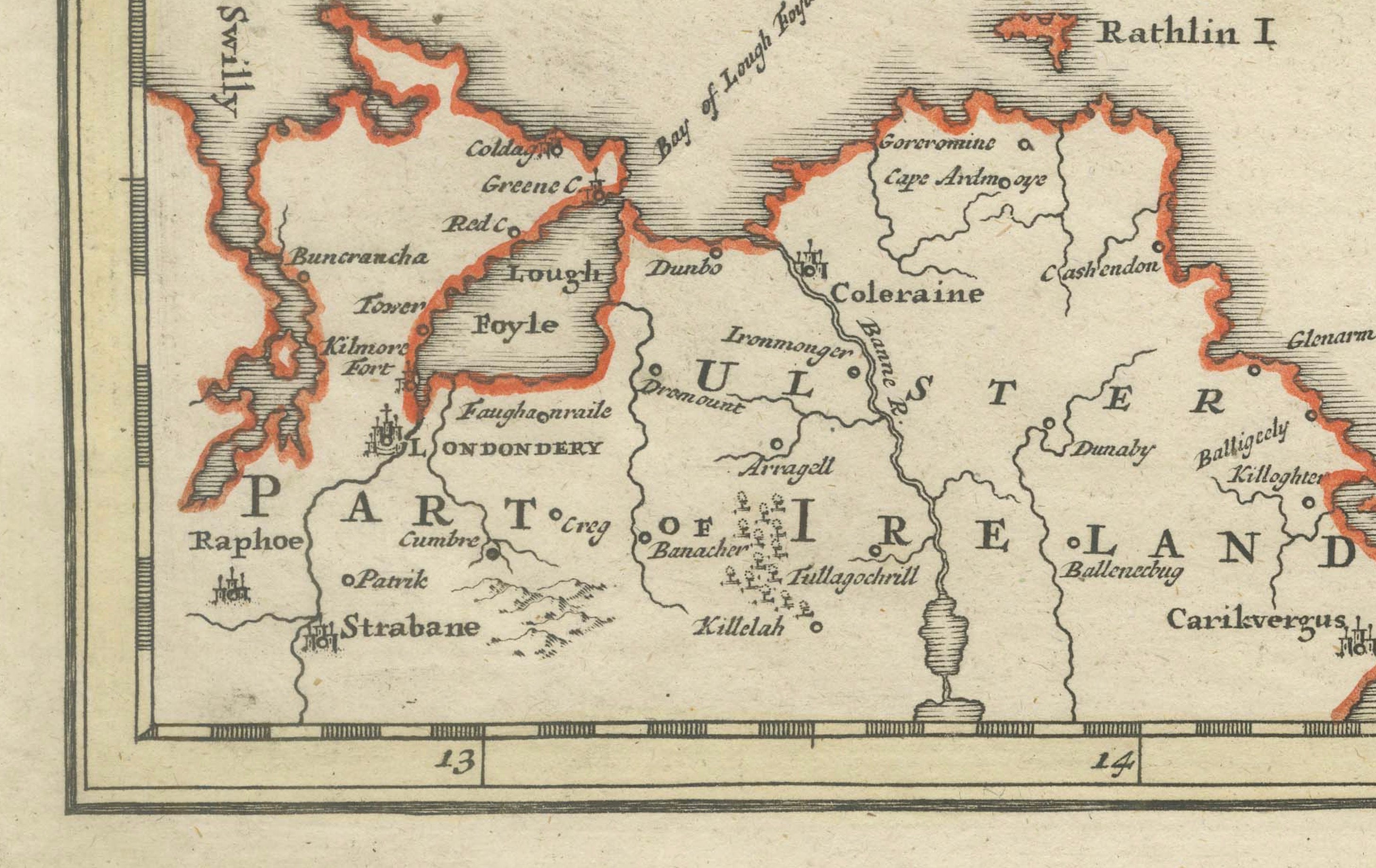
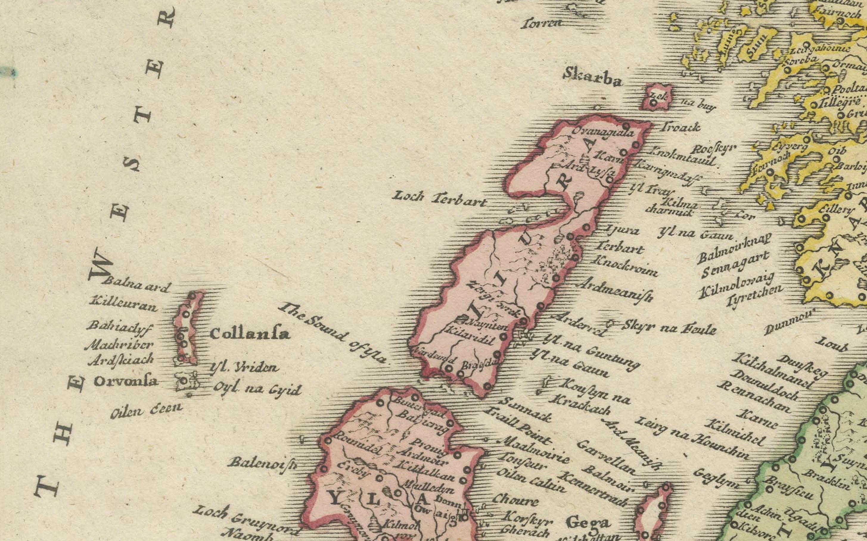
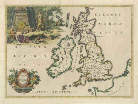
Original early 18th-century engraved map of Scotland by the celebrated German cartographer and publisher Johann Baptist Homann. Titled “Magnae Britanniae Pars Septentrionalis qua Regnum Scotiae…”, the map provides an exceptionally detailed depiction of Scotland, including the Highlands, Lowlands, Hebrides and Orkney Islands, together with portions of northern England and Ireland. Counties and regions are distinguished with attractive contemporary wash and outline colouring. The upper section is dominated by a magnificent uncoloured allegorical title cartouche populated with classical figures, putti and heraldic arms, accompanied by a separate decorative mileage scale. A particularly handsome example of German Baroque cartography from the golden age of decorative mapmaking.
CARTOGRAPHER: Johann Baptist Homann (1664–1724)
DATE: Circa 1710
ORIGIN: Nuremberg, Germany
MEDIUM: Copperplate engraving with contemporary wash and outline colouring on laid paper
DIMENSIONS: 57.5 × 48 cm (22.6 × 18.9 in.)
SUBJECT: Scotland, including the Hebrides and Orkney Islands, with portions of Ireland and northern England
STYLE / PERIOD: Baroque / Early 18th Century
CONDITION: Good antique condition. Original central fold as issued, with slight toning and discoloration along the fold. General light age-related toning, occasional minor spotting and surface marks. Some light marginal wear consistent with age. Contemporary colouring remains attractive and the engraved impression is strong and detailed. No major losses apparent within the engraved area. Please study the photographs carefully as they form an important part of the condition description.
FRAME / PRESENTATION: Sold unframed. Any framed or interior images shown are for presentation and inspiration only.
KEYWORDS: Johann Baptist Homann, Homann Scotland, Scotland map, antique Scotland map, 1710 map, 18th century map, Baroque map, Nuremberg cartography, Scottish Highlands, Scottish Lowlands, Hebrides, Orkney Islands, hand coloured map, British Isles, antique cartography, decorative map, allegorical cartouche, historical Scotland, copper engraving
SKU / INVENTORY: BG-14360-4