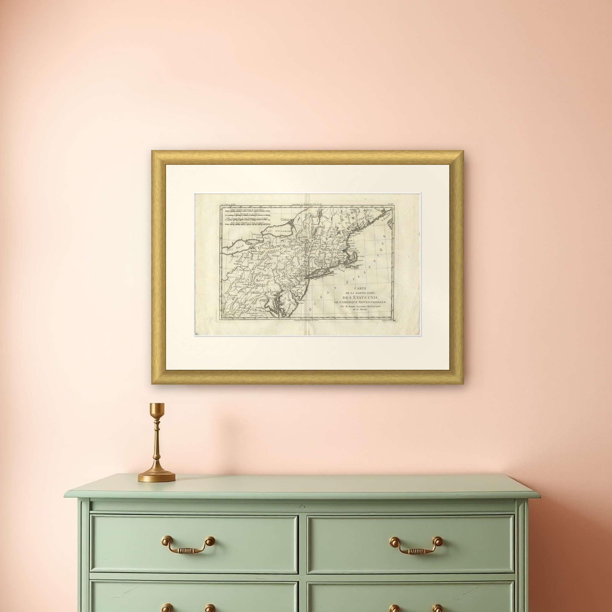
Antique Northeastern United States Map — New England & Mid-Atlantic, Bonne, 1780
€ 285
Original antique · The actual sheet photographed · Certificate of authenticity on request · Sold unframed · Worldwide shipping from € 15 (rates)
Date
1780
Sheet size
26 × 41 cm (10.2 × 16.1 in)
Condition
Good
Reference
BG-14105-48
What the condition grades mean
Excellent
Bright and clean, with no faults worth mentioning.
Very good
Only light signs of age, such as faint toning.
Good
Normal signs of age for a sheet of this period: toning, some foxing, small marks or neat old repairs.
Fair
Clear faults such as staining, tears or repairs, priced to match.
Every fault we see is written in the condition note, and the whole sheet is shown uncropped in the photos.
Condition
Good antique condition with age-related toning, visible central fold as issued, light scattered spotting, and minor handling wear consistent with eighteenth-century paper; margins remain suitable for framing.
About this sheet
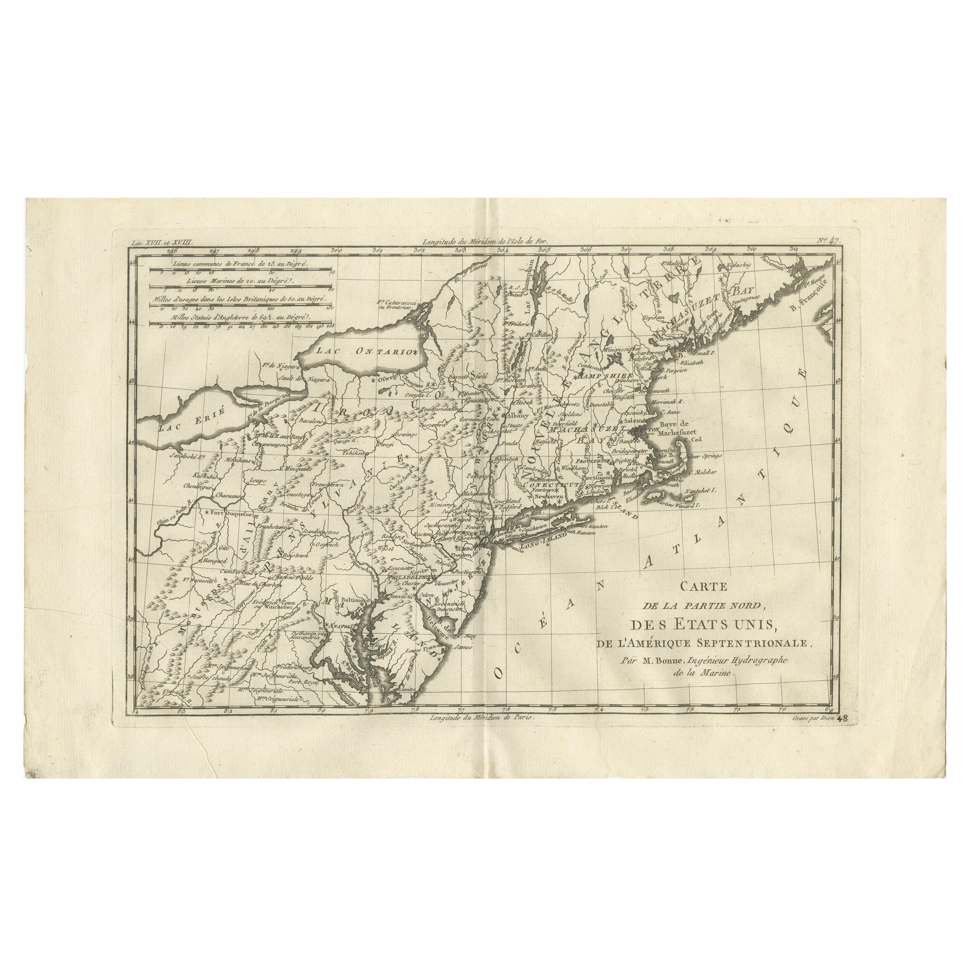
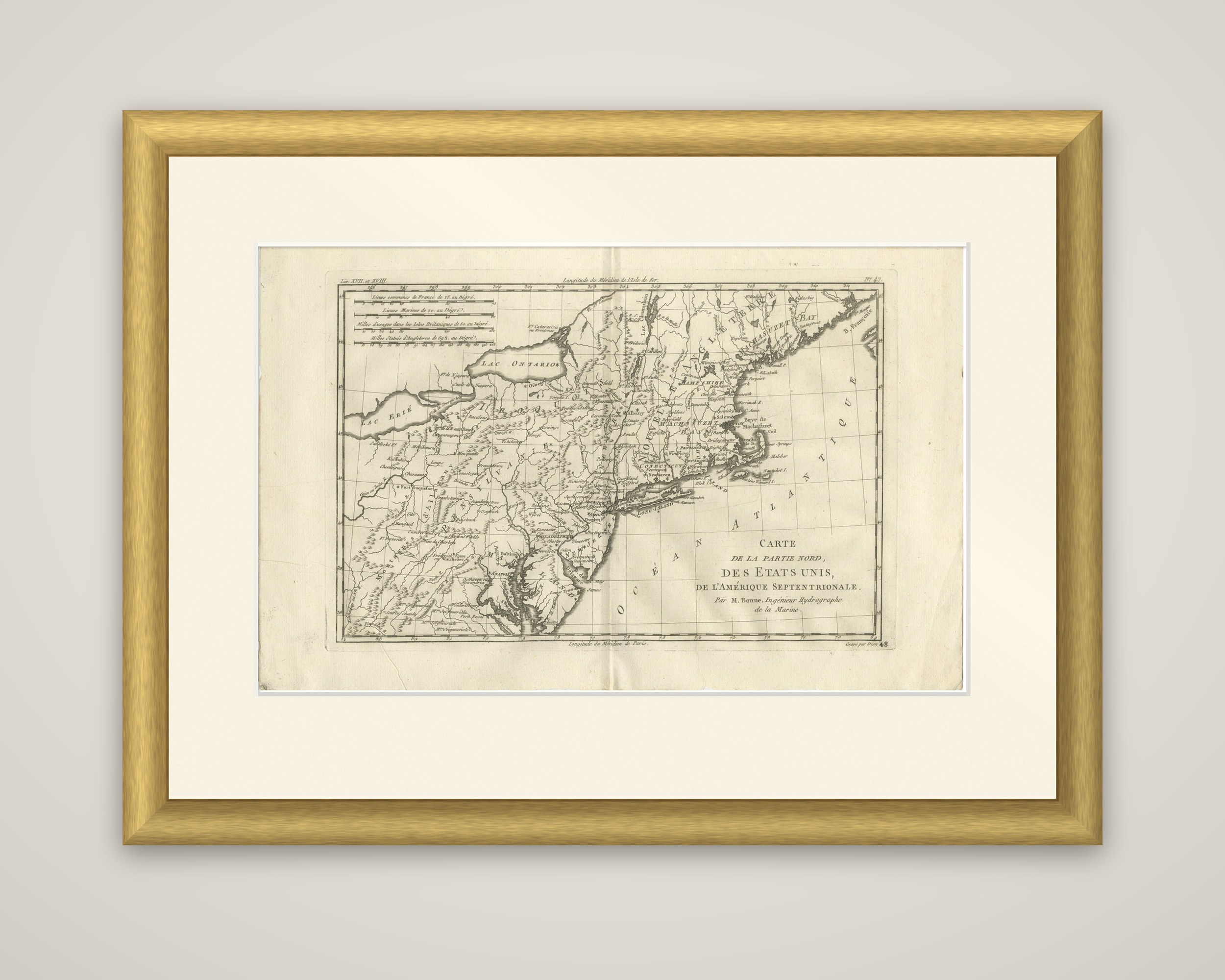
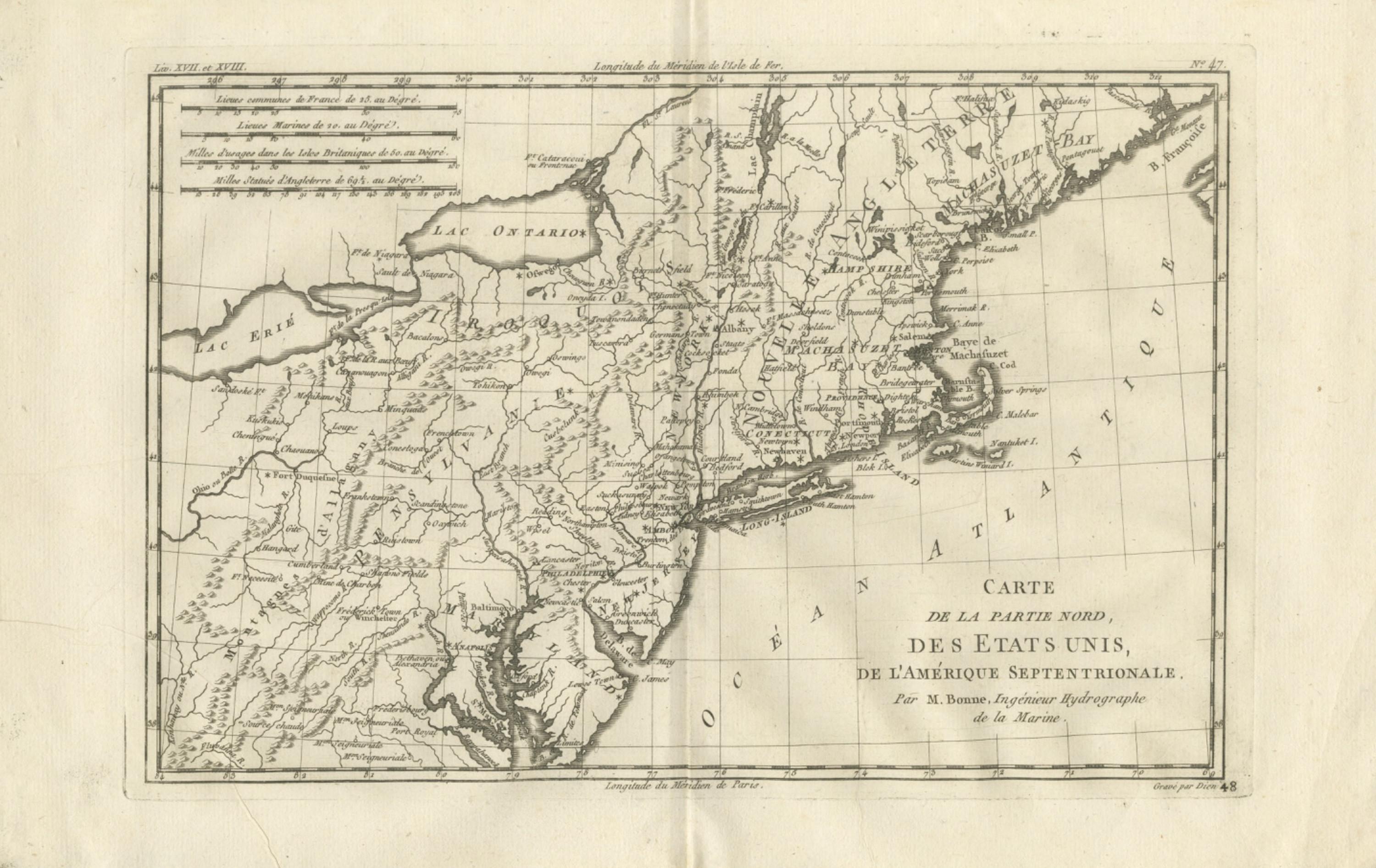
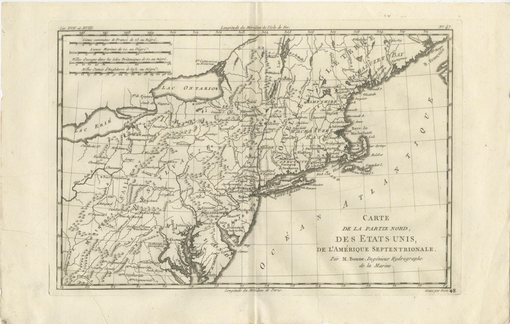
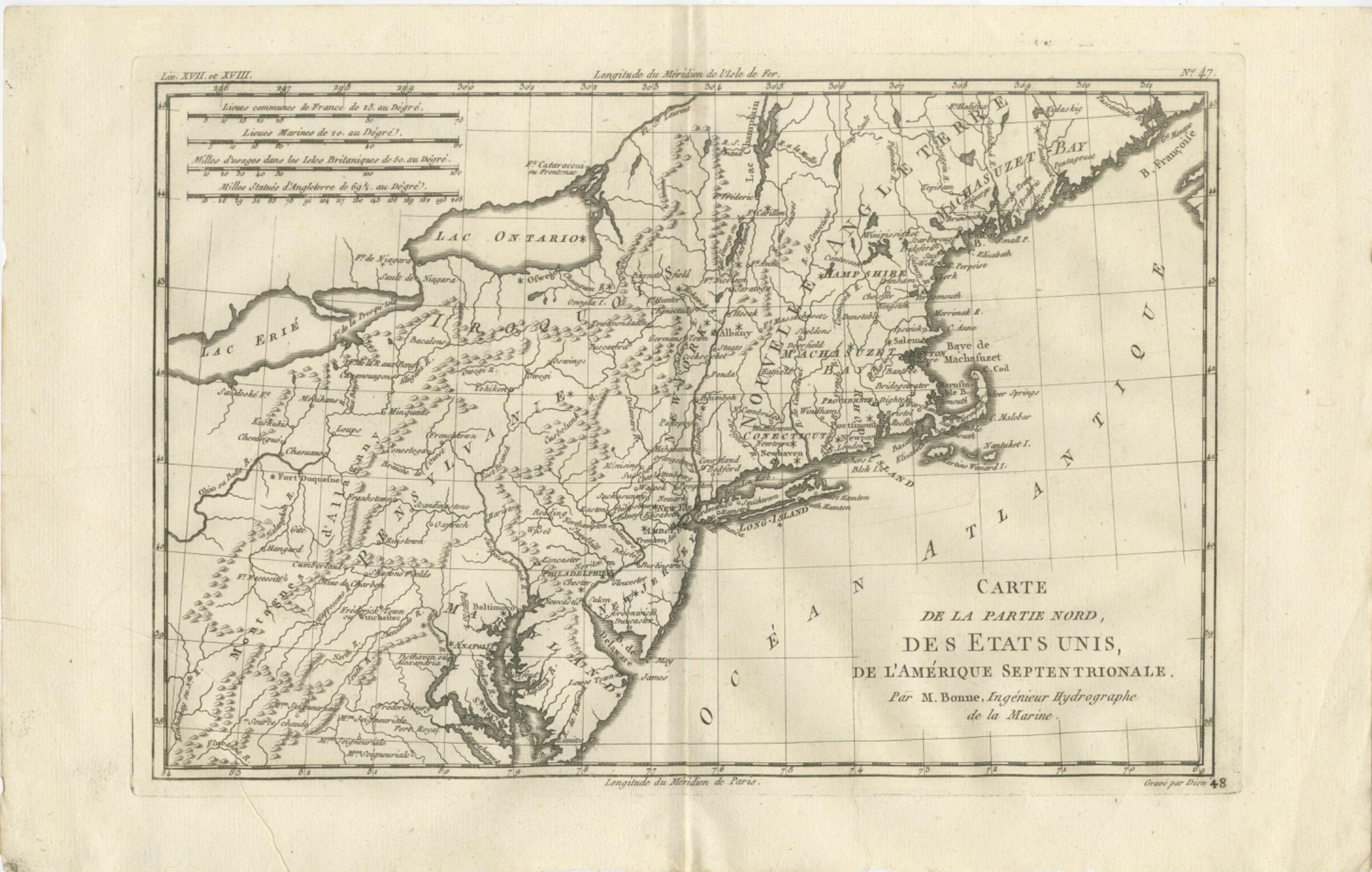
The northern part of the United States in a copper engraving by Rigobert Bonne, circa 1780, titled "Carte de la Partie Nord, des États Unis de l'Amérique Septentrionale," credited "Par M. Bonne, Ingénieur Hydrographe de la Marine." The sheet is printed in black without color.
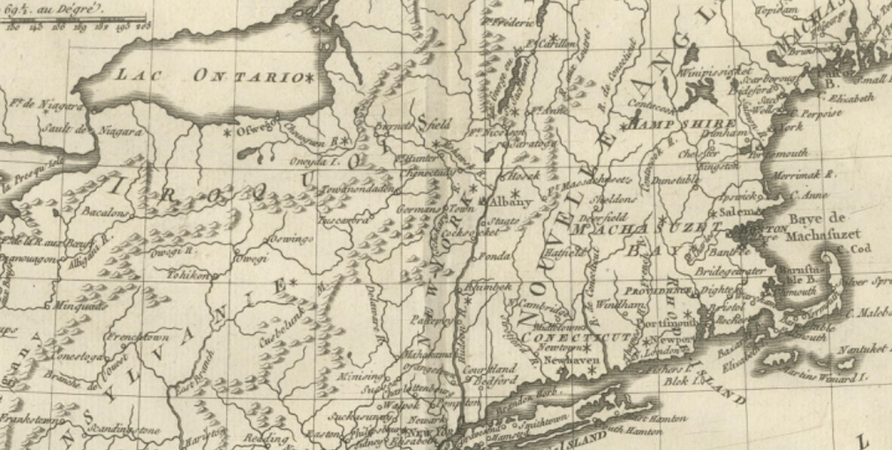
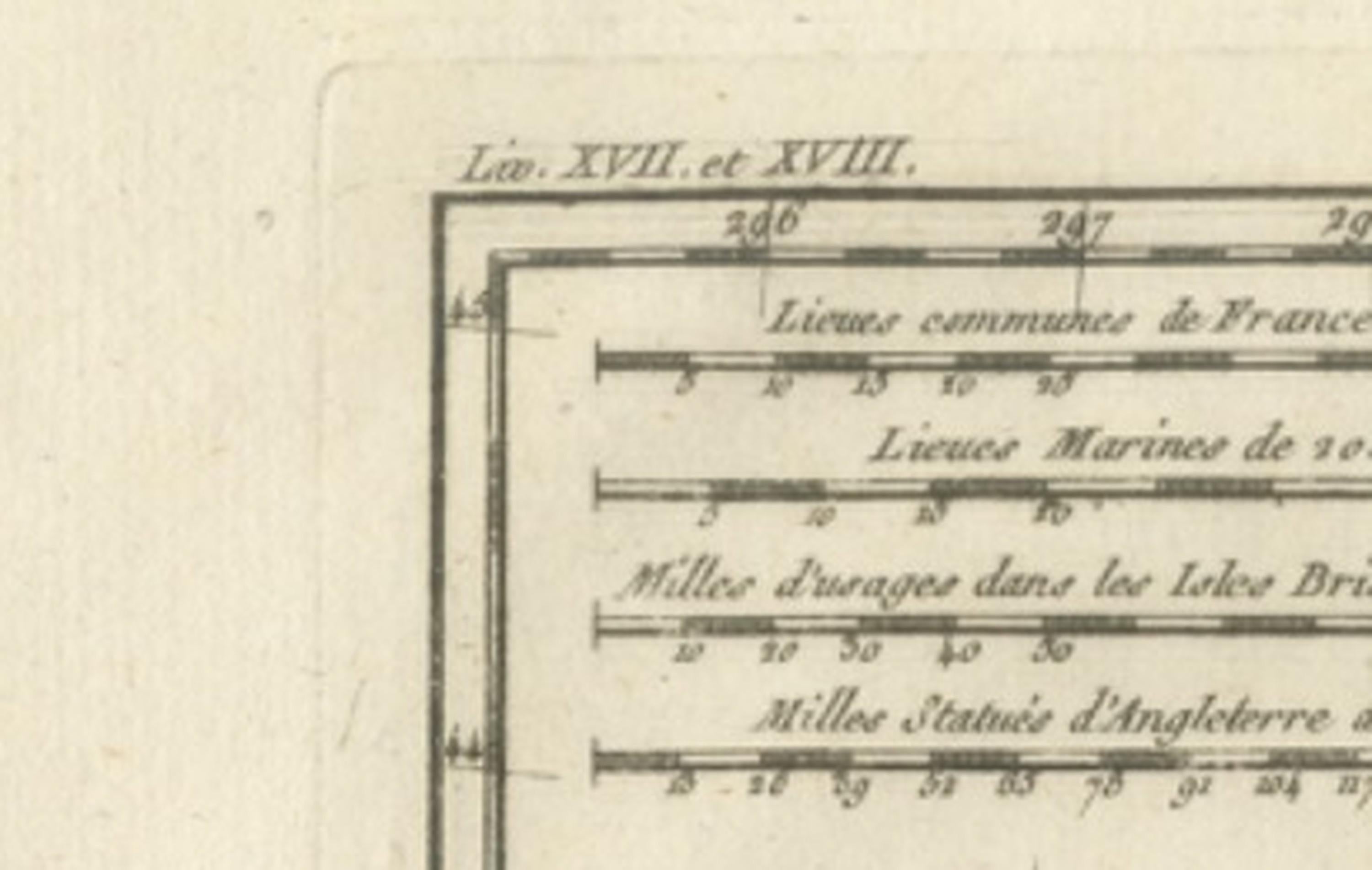
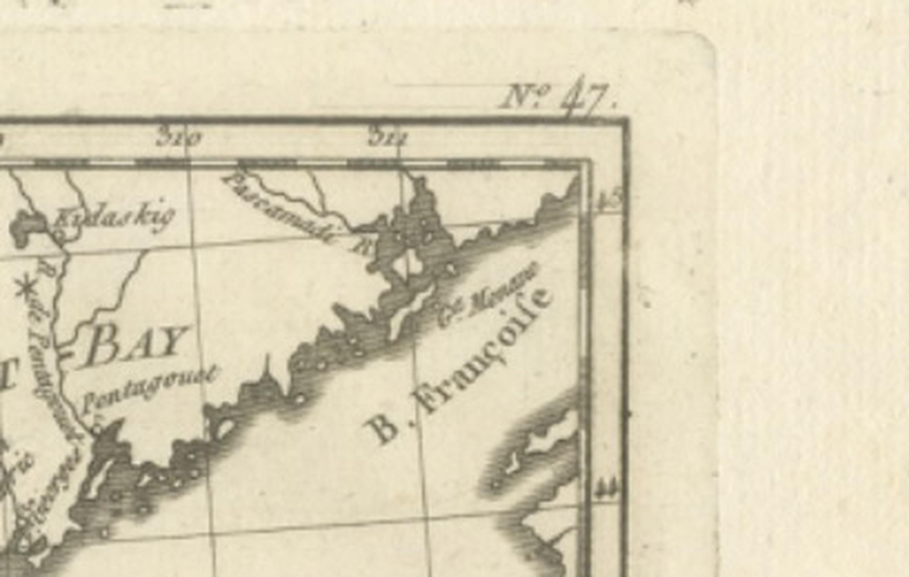
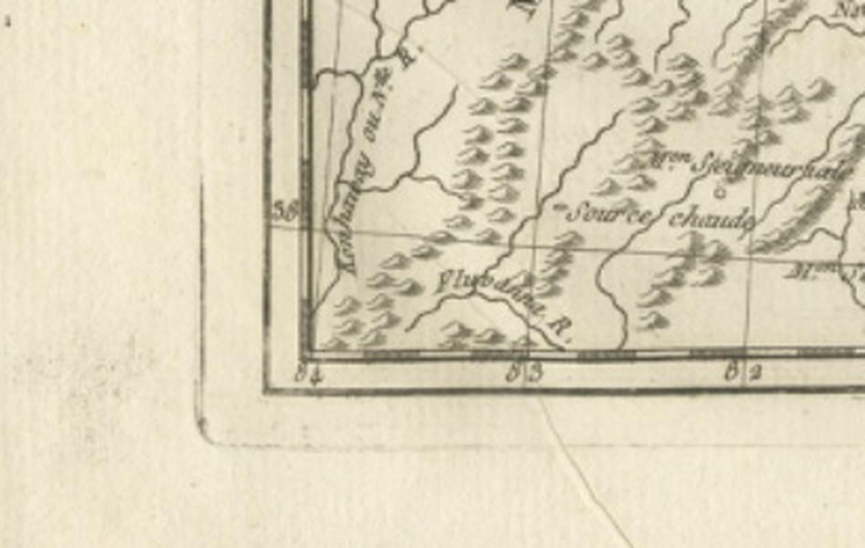
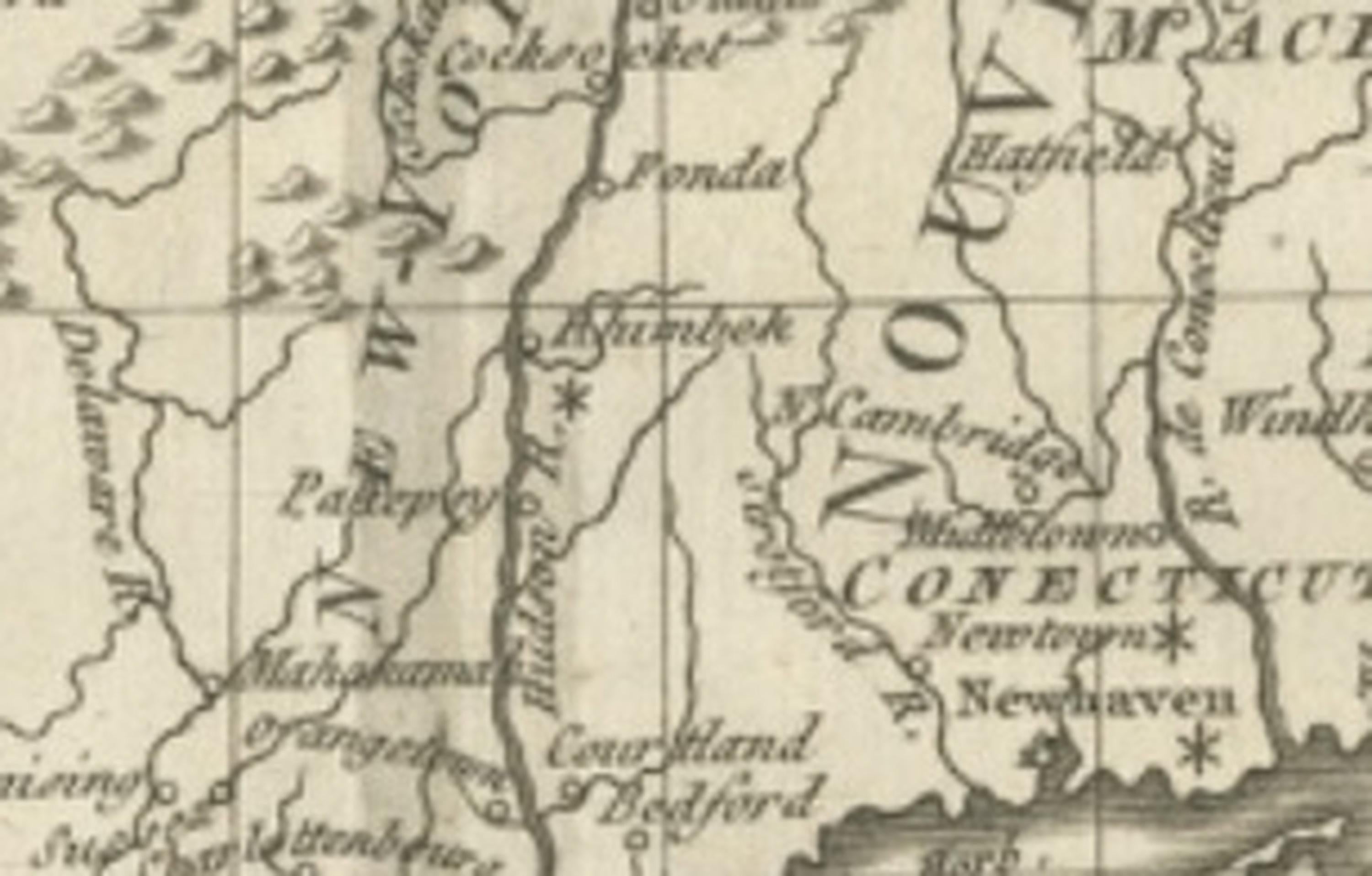
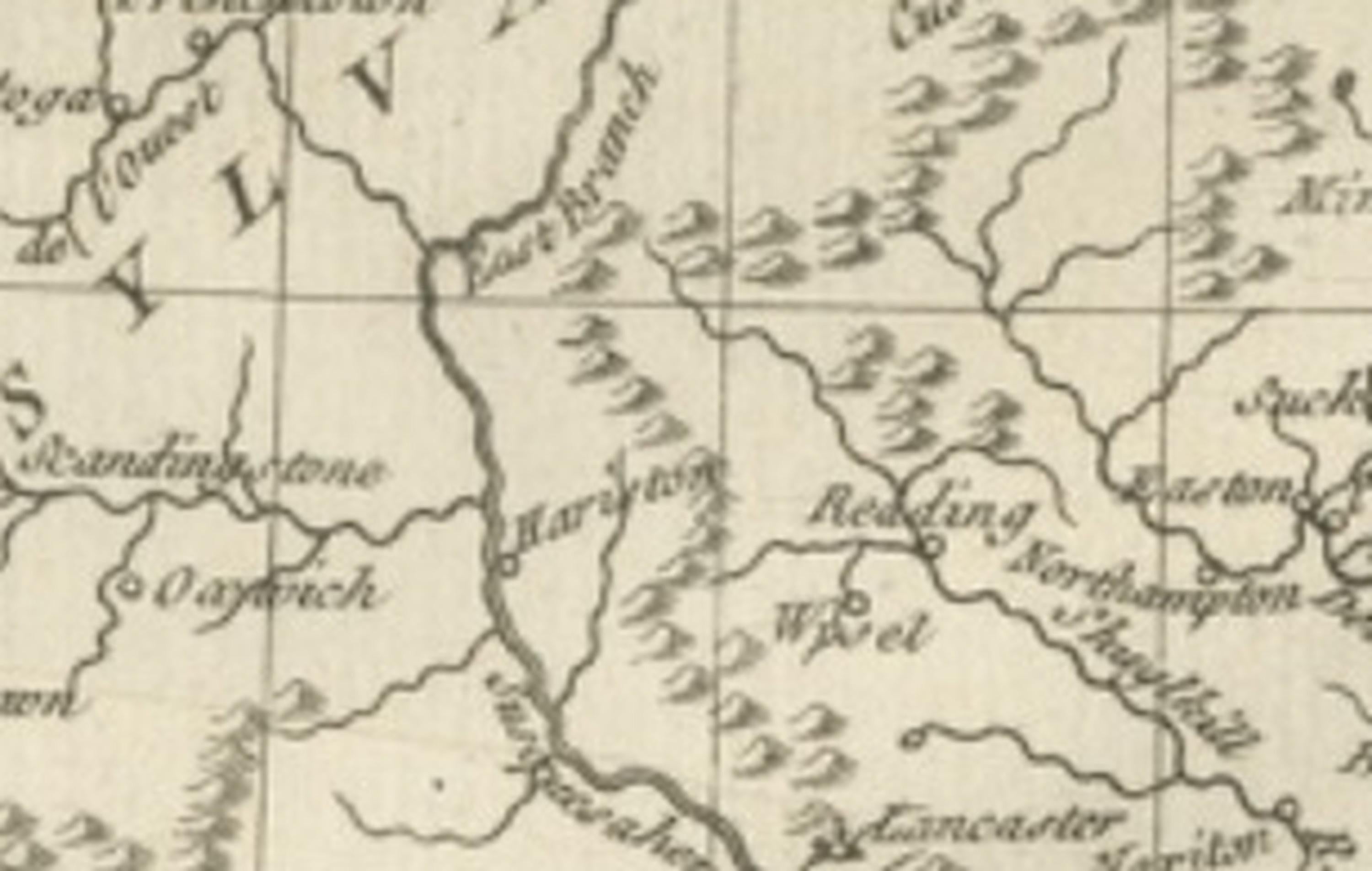
The map covers the Atlantic seaboard from the Chesapeake Bay at the lower left, past New York harbor and Long Island, to the Gulf of Maine at the right. "Lac Ontario" and "Lac Erié" appear at the upper left, and the Hudson, the Delaware and the Connecticut rivers are traced inland from the coast. Massachusetts Bay, Rhode Island and Maine's indented coast are drawn in detail on the right, and states and districts such as New Hampshire, Massachusetts and Connecticut are lettered, along with many towns and the country of the Iroquois. The "Océan Atlantique" fills the lower right. Four sets of scale bars, giving French leagues, marine leagues, British statute miles and English miles, run across the upper left.
Bonne was hydrographer to the French navy at the Dépôt de la Marine in Paris, succeeding Jacques-Nicolas Bellin. The title uses the new name of the United States, so the sheet dates from the years of the Revolution, and shows the thirteen states' northern half as a French geographer drew it.