About this sheet
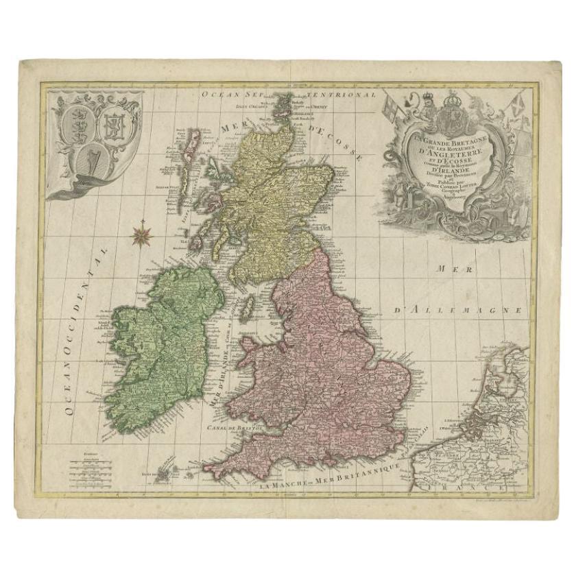
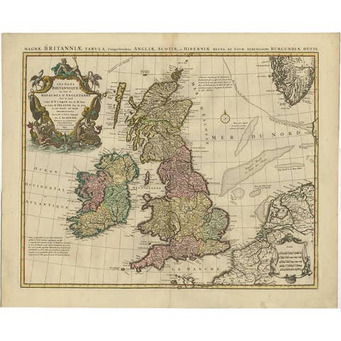
Antique map titled 'Le Grand Bretagne ou les Royaumes d'Angleterre et d'Ecosse'. Old engraved map of the British Isles (main islands United Kingdom & Ireland). Features include a Fine large rococco style title cartouche and another cartouche bearing the shields of the various kingdoms. Artists and Engravers: Tobias Conrad Lotter was born 1717 in Germany. He became a publisher and engraver in Augsburg. He was engaged by Matthias Seutter the elder as an engraver and married his daughter. He also was successful with his own business and became one of the better known German cartographers. After his death in 1777, the business was continued by his son Matthias Albrecht Lotter.
Condition: Fair, general age-related toning. Some wear, few tears repaired. Please study image carefully.
Date: 1764
Overall size: 64 x 54 cm.
Image size: 0.001 x 58 x 49 cm.
They were the product of engraved, etched or lithographed plates. These plates were handmade out of wood or metal, which required an incredible level of skill, patience and craftsmanship. Whether you have a house with Victorian furniture or more contemporary decor an old engraving can enhance your living space.