Maps & PrintsBartele Gallery · Langweer
Home / Antique Maps / Europe / Western Europe / United Kingdom & Ireland

United Kingdom & Ireland · 18th century

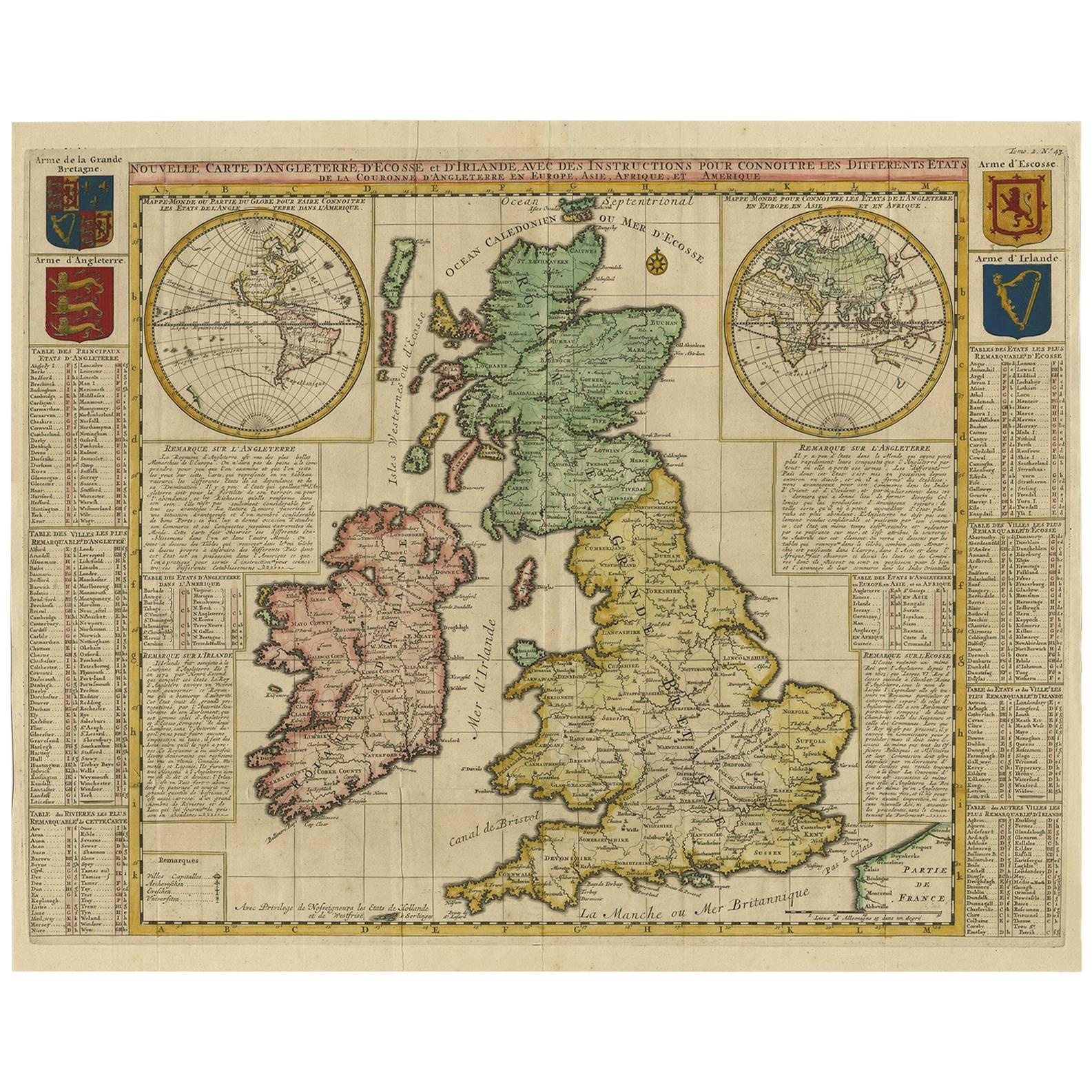
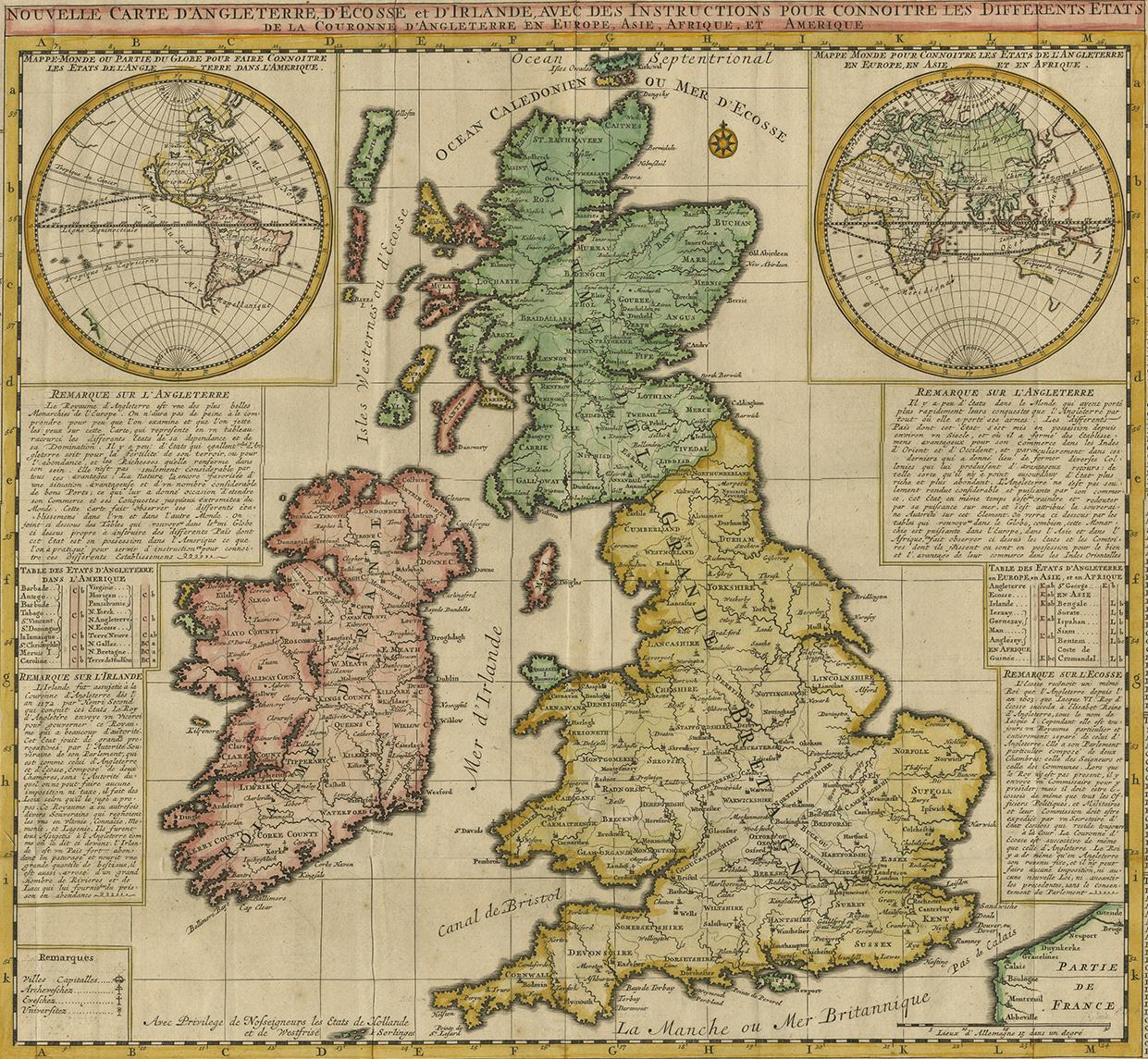
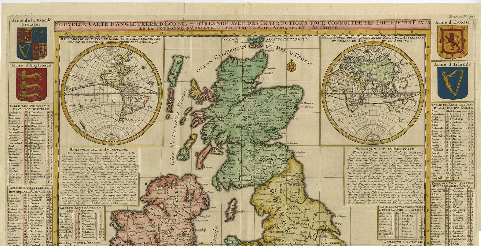
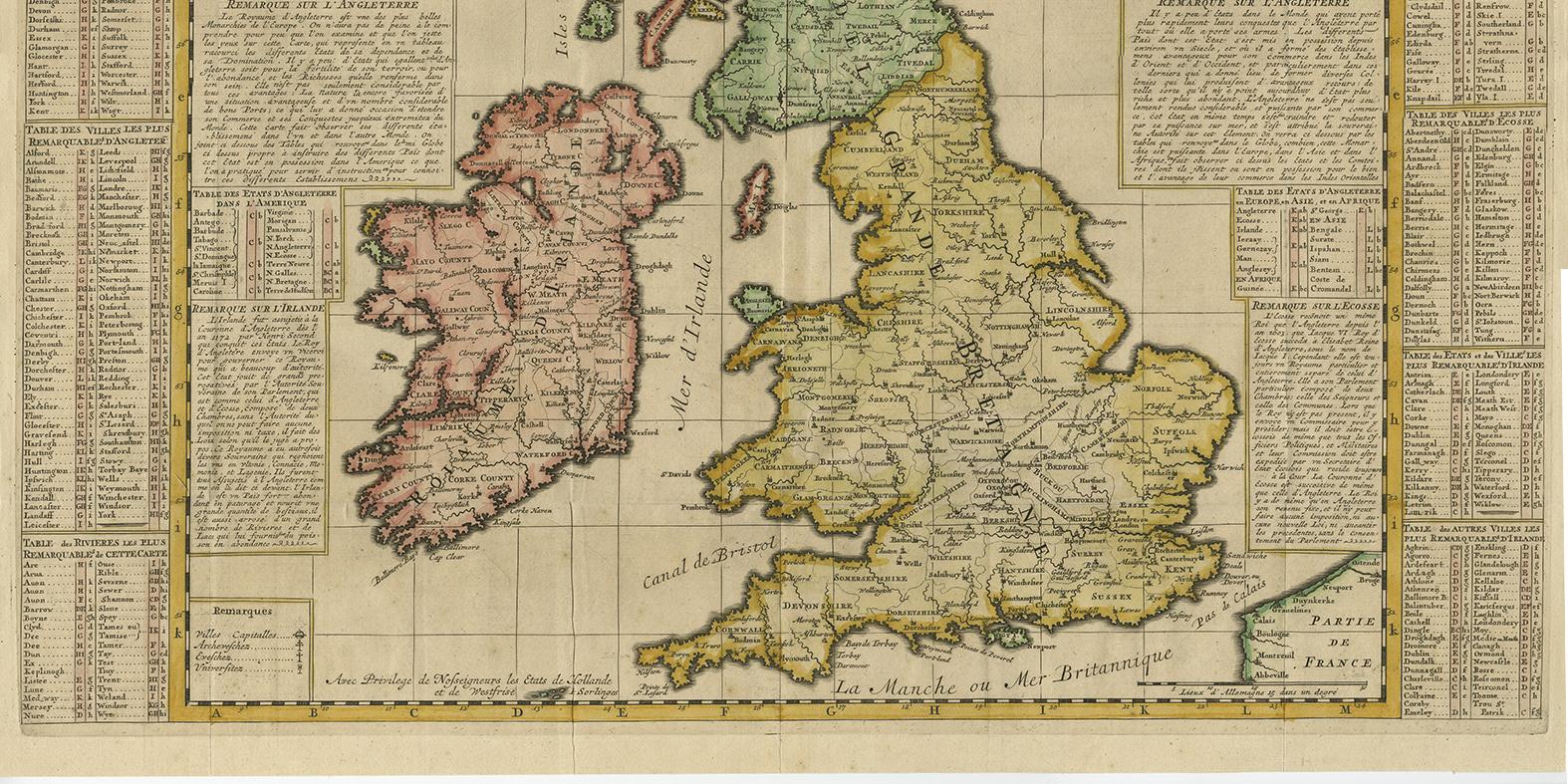
Antique Map of the British Isles by H. Chatelain, 1719

€ 750

One of a kind: this is the sheet in the photographs. Ships from Langweer, the Netherlands.

Date
1719
Mapmaker / artist
Henri-Abraham Chatelain (Artist)
Sheet size
51 × 64 cm (20.1 × 25.2 in)
Condition
Good
Reference
BGI-00087

Condition

Please study image carefully.
About this sheet

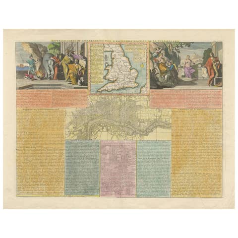
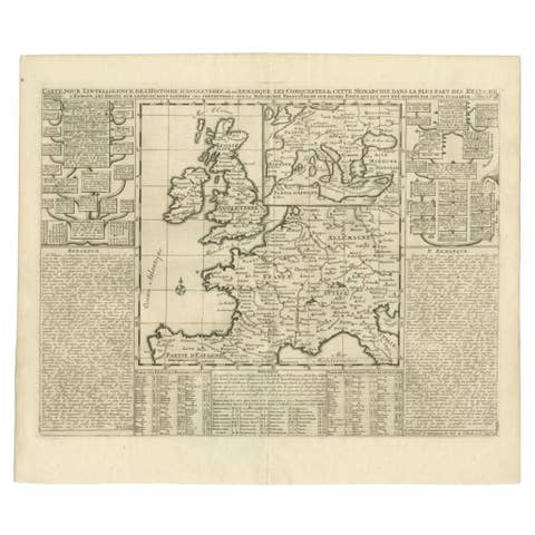
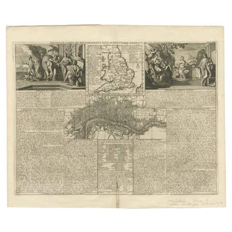
Beautiful hand colored large format map of the British Isles, with large insets of the Eastern and Western Hemispheres and the coats of arms for England, Ireland, Scotland and Wales. From Chatelain's monumental 7 volume Atlas Historique, one of the great compilations of the early 18th century.

More from United Kingdom & Ireland

Ask about this sheet

Antique Map of the British Isles by H. Chatelain, 1719
1719 · Ref. BGI-00087 · € 750
We reply by email, usually within one working day.