Antique Maps of Europe
631 original sheets
Western Europe 1908Northern Europe 146Central Europe 88Eastern Europe 102South-East Europe 135Southern Europe 275Europe as a Whole 169
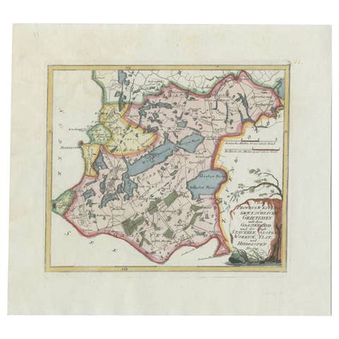
Antique Map of the Region of Gaasterland, Friesland, The Netherlands, 1791
1791 · € 360
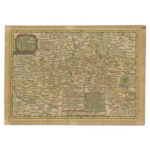
Antique Map of the Region of Plauen by Schreiber '1749'
1749 · € 93
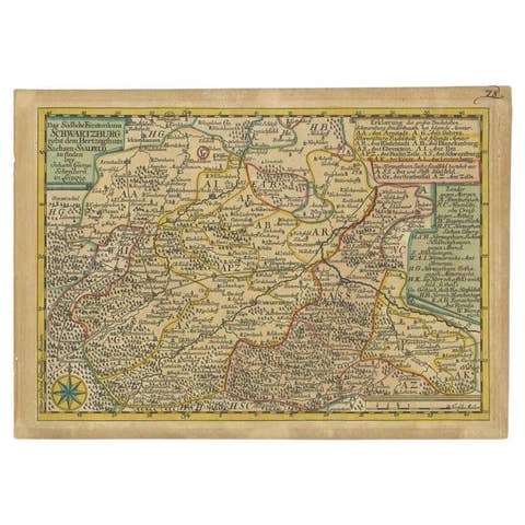
Antique Map of the Region of Schwarzburg by Schreiber, 1749
1749 · € 93
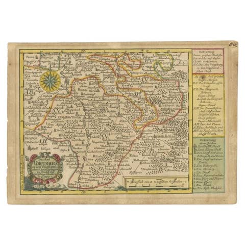
Antique Map of the Region of Voigtsberg by Schreiber, 1749
1749 · € 93
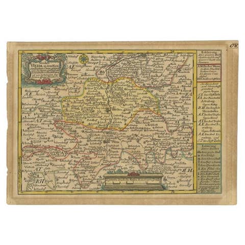
Antique Map of the Region of Weida by Schreiber, 1749
1749 · € 126
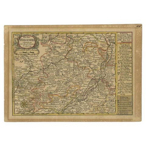
Antique Map of the Region of Weißenfels by Schreiber, 1749
1749 · € 93
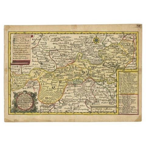
Antique Map of the Region of Weißensee by Schreiber, 1749
1749 · € 390
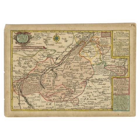
Antique Map of the Region of Zeitz in Germany, 1749
1749 · € 330
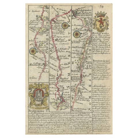
Rare Antique Map of the Route from Maiden Bridge to Dulverton, England, c.1720
1720 · € 99
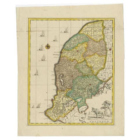
Antique Map of Westergo, Friesland in the the Netherlands, by Tirion, 1744
1744 · € 640
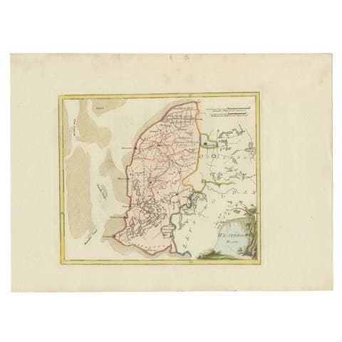
Antique Map of Westergo in Friesland, 1791
1791 · € 380
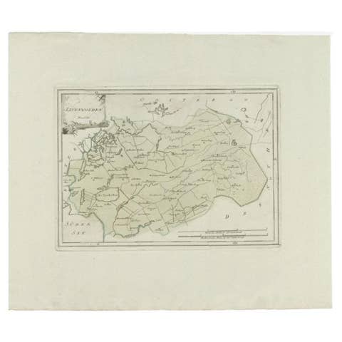
Zevenwolden, Friesland – von Reilly antique map, 1791
1791 · € 162

Antique Map of Zevenwolden by Von Reilly, 1791
1791 · € 211
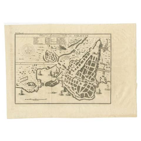
Antique Plan of Ancient Syracuse, cicily, Italy, 1740
1740 · € 290
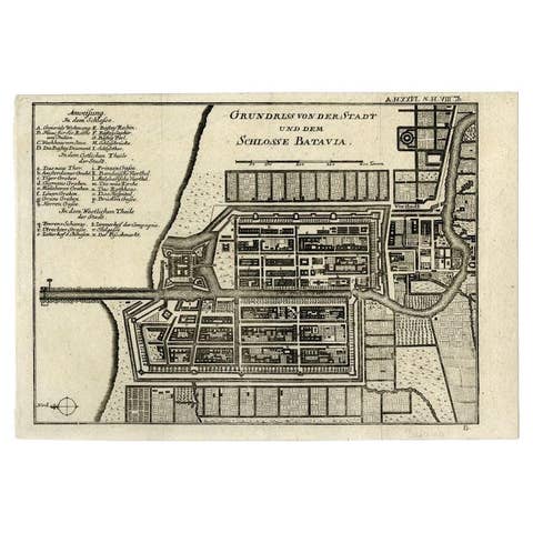
Antique Plan of Batavia and the Castle in the Dutch East Indies, 1763
1763 · € 390
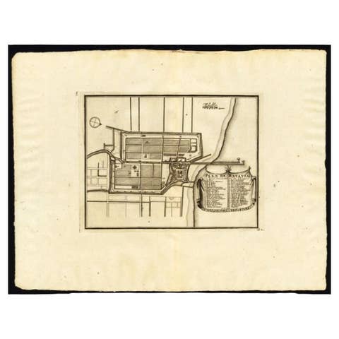
Antique Plan of Batavia, Capital of the Dutch East Indies, by Van Der Aa, 1725
1725 · € 570
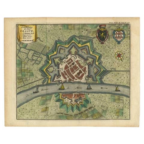
Antique Plan of the City of Grave, Holland - Coats of Arms & Compass Rose, 1750
1750 · € 220
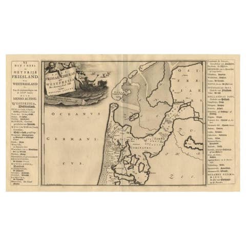
Antique Map of the West-Frisian Part of Independant Friesland by Halma, 1718
1718 · € 185
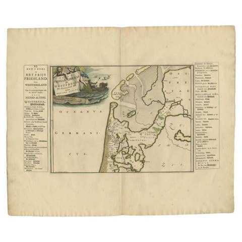
Antique Map of the West-Frisian part of independent Friesland by Halma, 1718
1718 · € 255
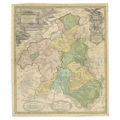
Antique Map of the Waldeck Region of Germany by Homann Heirs, circa 1733
1733 · € 330

Antique Map of the Vitim and Lena Rivers, Russia, 1768
1768 · € 126
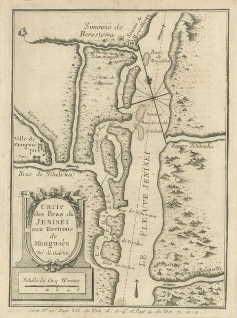
Antique Map of the Yenisei River in Siberia, Russia, 1768
1768 · € 280
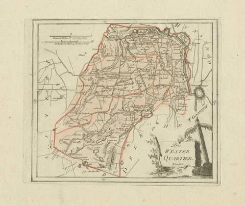
Antique map Westerkwartier Groningen by von Reilly, Vienna, 1791
1791 · € 340
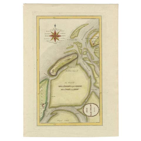
Antique Map of the Wadden Islands, 1792
1792 · € 300
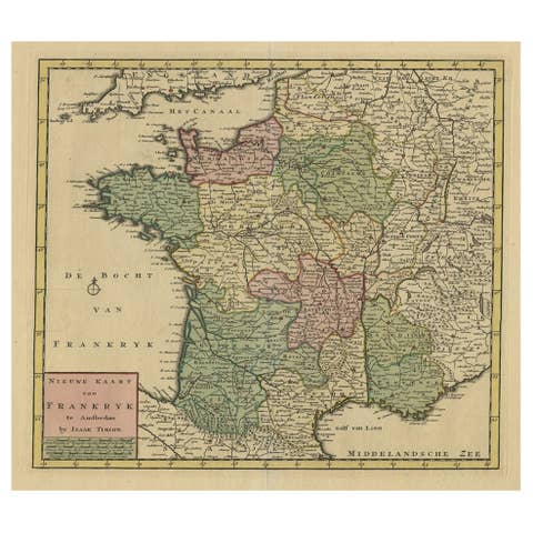
Antique Map of France by Tirion, c.1740
1740 · € 450
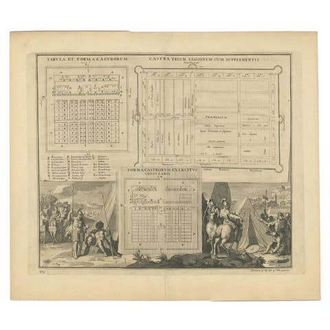
Antique Roman Battle Plan of a Camp by Duncan, c.1753
1753 · € 290
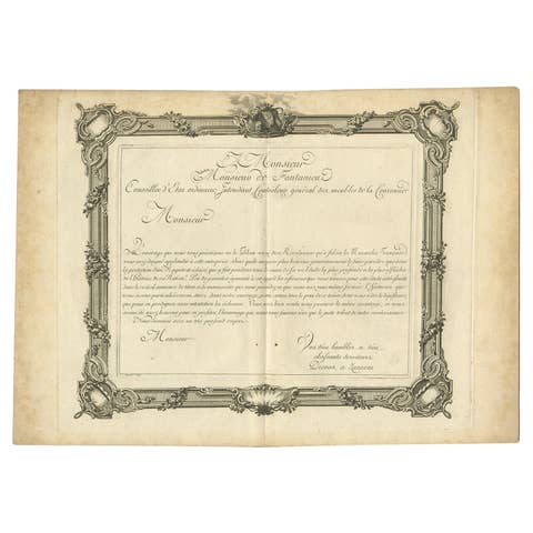
Frontispiece & Title-Page of the French Atlas Historique et Moderne, 1765
1765 · € 90
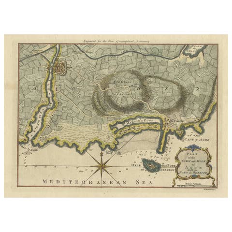
Antique Map Plan of Town and Mole of CAP D'agde & Fort De Brescou, France, 1759
1759 · € 490
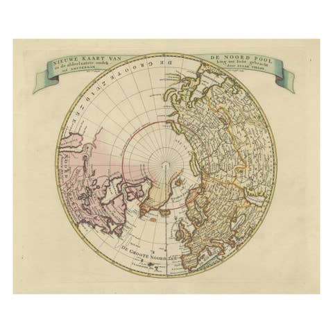
Greenland and California as an Island – Antique Northern Hemisphere Map, ca.1750
1750 · € 720
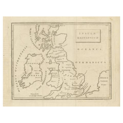
Old Map of British Isles According to the Geography of the Roman Empire, ca.1790
1790 · € 180
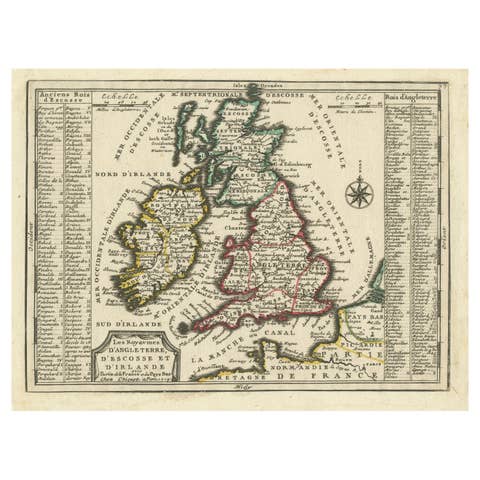
Map of the British Isles with Historical Kings, 1719
1719 · € 440
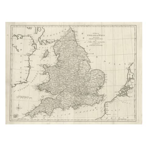
Antique Map of England and Wales by J. Blair, Circa 1779, Wall Art
1779 · € 510
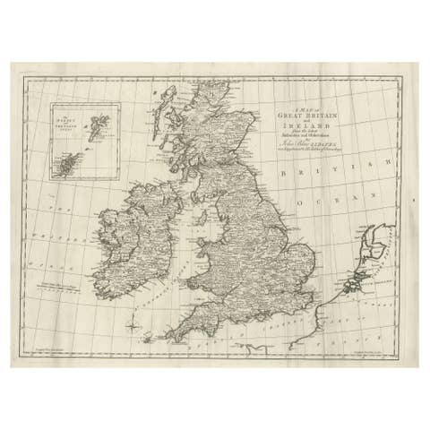
Large Antique Map of the British Isles, inset of the Orkneys and Shetlands, 1779
1779 · € 490
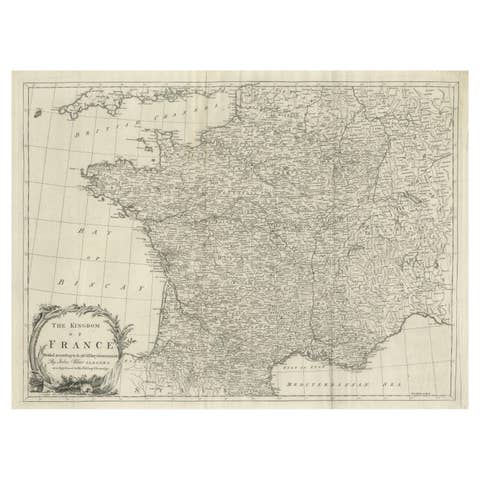
Antique Map of France by T. Kitchin, Engraved, Circa 1779
1779 · € 430
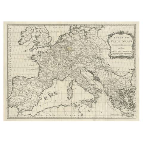
Antique Map of Europe by T. Kitchin, Charlemagne's Empire, Circa 1779
1779 · € 460
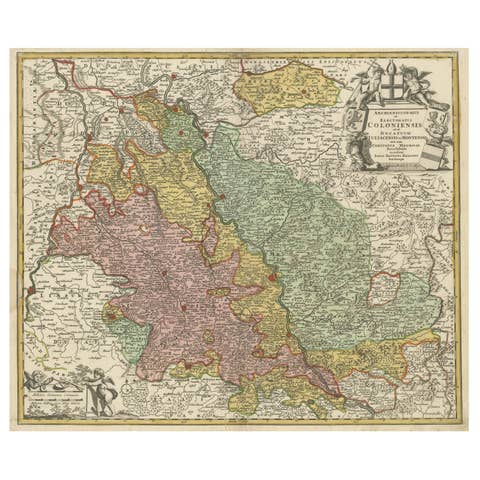
Antique Map of the Rhine centered on Cologne, Germany, circa 1720
1720 · € 540
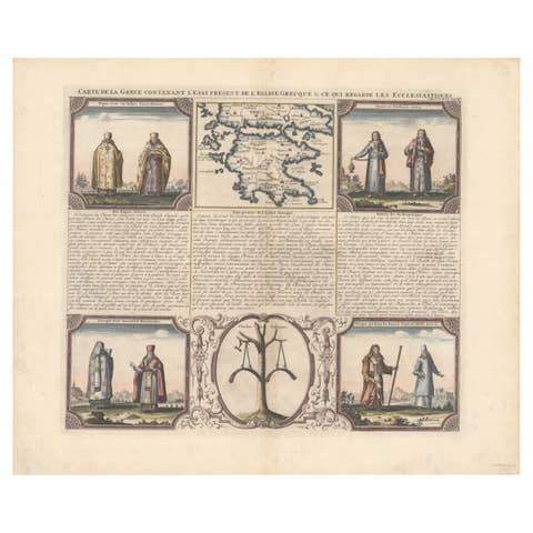
Small Map of Southern Greece Together with Five Greek Religious Scenes, ca.1720
1720 · € 490
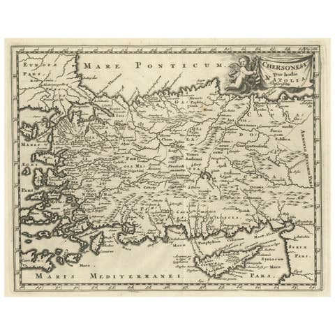
Antique Map of Asia Minor with part of the Greek Archipelago and Cyprus, 1729
1729 · € 340
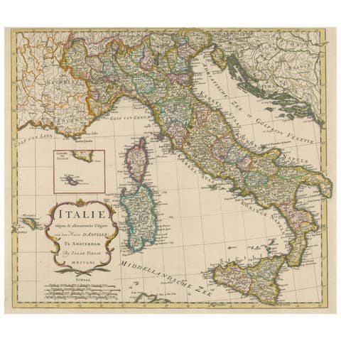
Detailed Antique Map of Italy and surrounding Islands, 1761
1761 · € 620
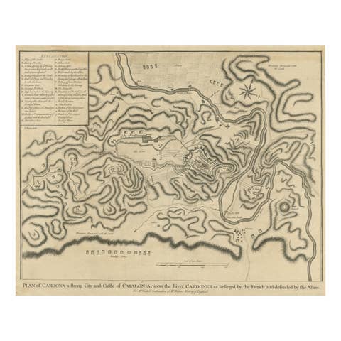
Antique Plan of the Siege of the Castle of Cardona in 1714
1714 · € 340
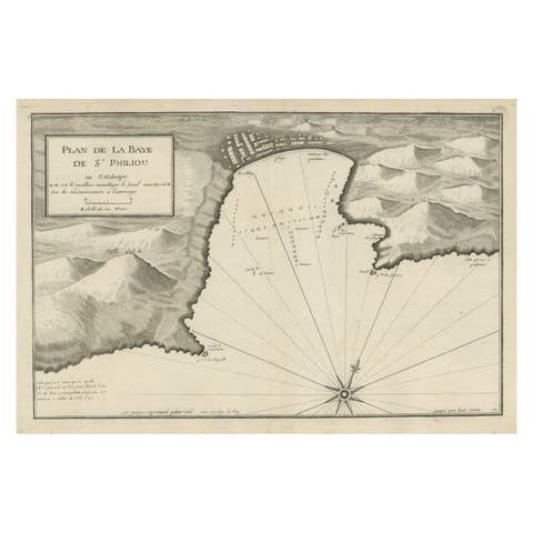
Large Antique Plan of St. Philiou Bay or Sant Feliu Catalonia Spain, circa 1746
1746 · € 540

Martinique Island in the Caribbean by Bellin Original Original Antique Map, 1780
1780 · € 236
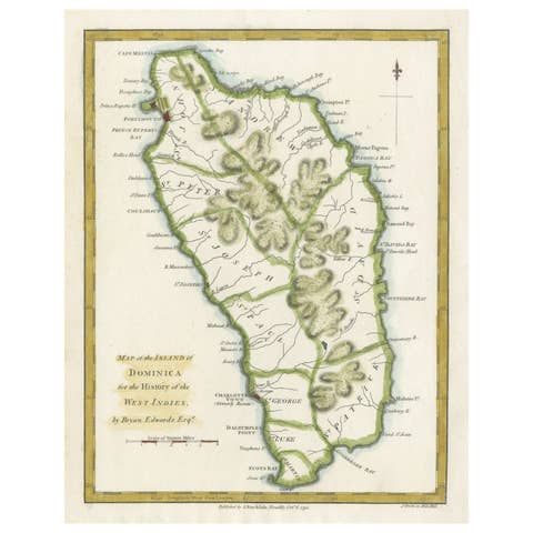
Original Antique Map of the Island of Dominica in the West Indies, 1794
1794 · € 240
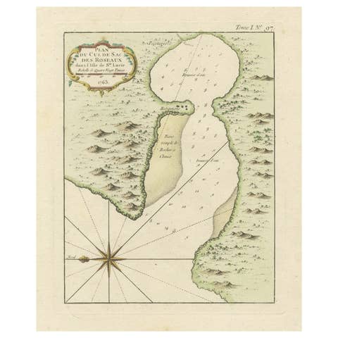
Roseaux, St. Lucia Island Map by Bellin, Handcolored Engraving, 1763
1763 · € 244
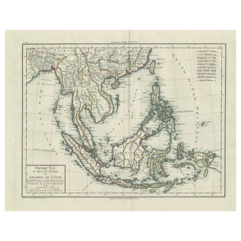
1797 Tardieu Map of Southeast Asia: The Malay Archipelago and Beyond
1797 · € 1 150

Senex Map of Castile, Leon & La Mancha in The Spanish Heartland, 1714
1714 · € 490
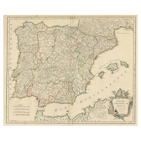
Large 1750 Map of the Kingdoms of Spain and Portugal by Robert de Vaugondy
1750 · € 650
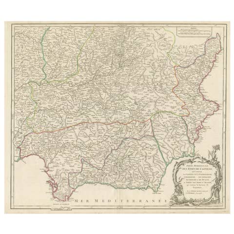
Detailed Engraving Highlighting Key Regions of Southern Spain and Castile, 1752
1752 · € 660