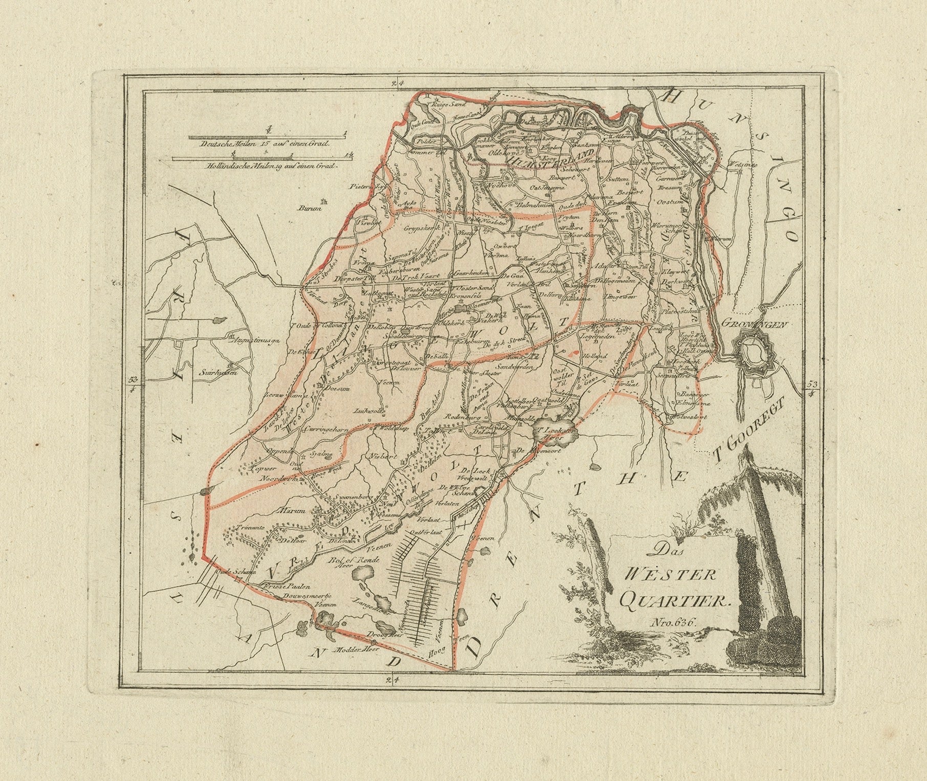
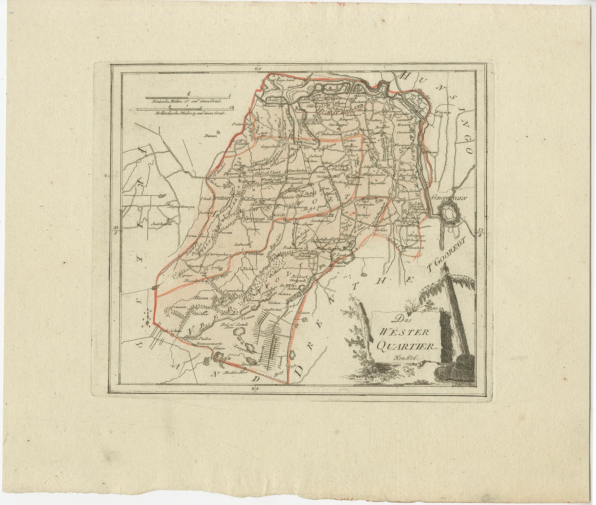
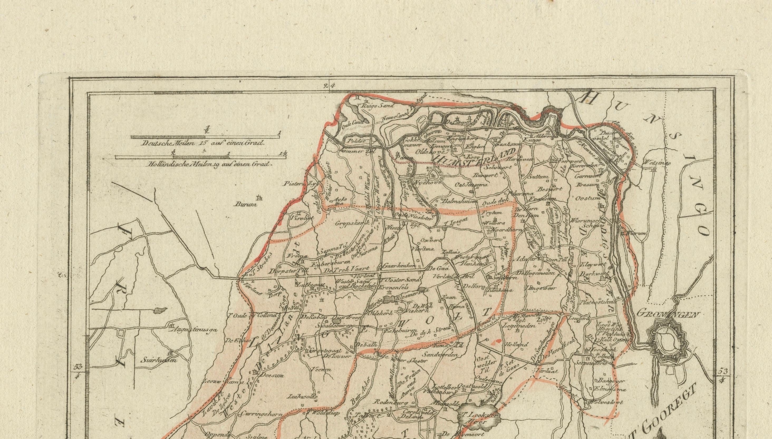
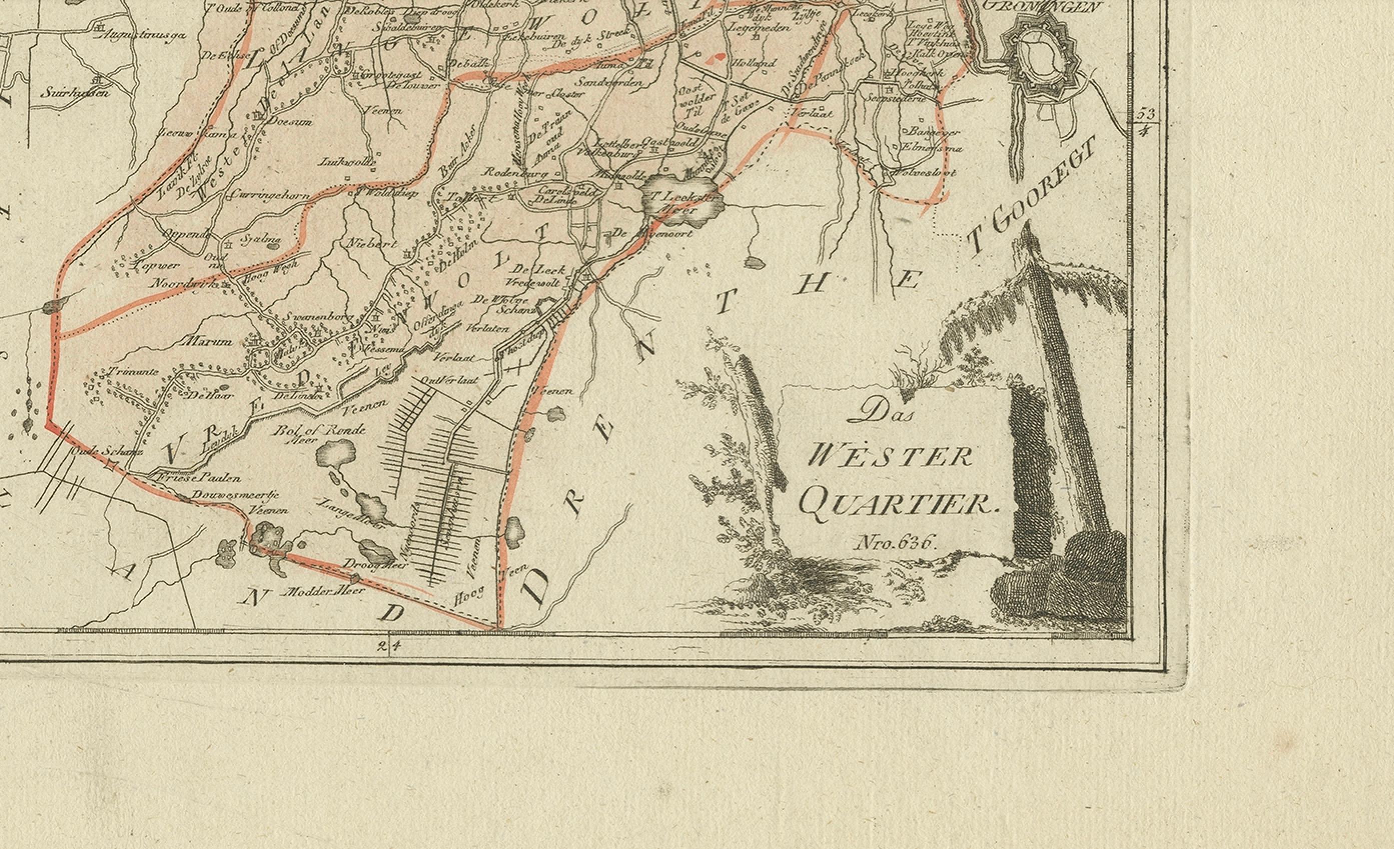
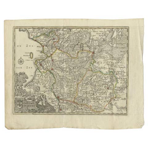
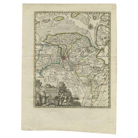
Antique map Westerkwartier Groningen by von Reilly, Vienna, 1791
€ 340
Original antique · The actual sheet photographed · Certificate of authenticity on request · Sold unframed · Worldwide shipping from € 15 (rates)
Date
1791
Mapmaker / artist
Franz J. J. von Reilly, Vienna, 1791; engraved by Ignaz Alberti
Technique
Engraving with original hand color
Sheet size
29.5 × 35 cm (11.6 × 13.8 in)
Condition
Good
Reference
BG-00227
Condition
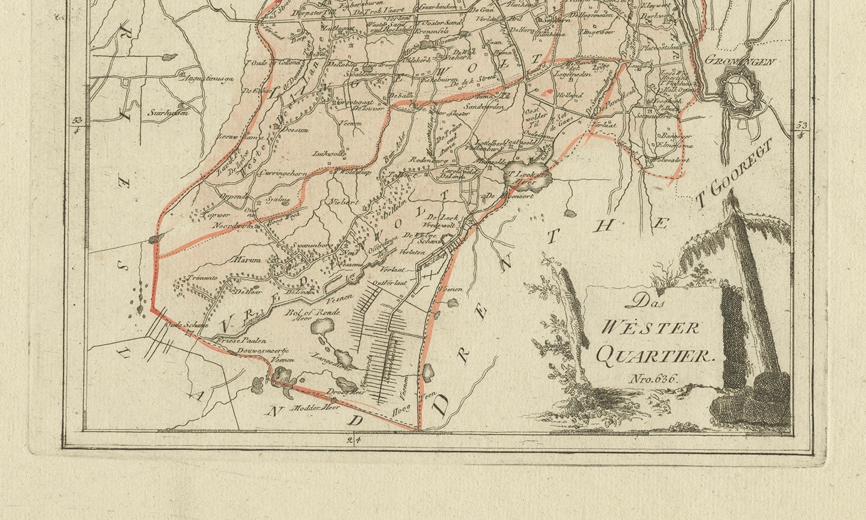
Very good for age with light overall toning and a few scattered foxing specks in the wide margins; blank verso. Strong impression and attractive original color.
About this sheet
Engraved map with original hand color of the Westerkwartier (western quarter) of the province of Groningen, Netherlands. German title in the cartouche reads “Das Wester Quartier.” Published in Vienna in 1791 by Franz J. J. von Reilly for his atlas “Schauplatz der fünf Theile der Welt.” The sheet shows the region between Friesland (west), Hunsingo (north), the city of Groningen (east) and Drenthe (south). Two scale bars at top give German miles (15 to a degree) and Dutch miles (19 to a degree). Important places include Zuidhorn, Grijpskerk, Grootegast, Marum, Leek, Aduard, Niekerk, Oldekerk, Tolbert, Oldehove and the fortified city of Groningen. Roads, canals (including the Hoendiep and Reitdiep), dikes, parish symbols and moorland or cultivated areas are clearly engraved and bordered with hand-applied outline color. A small foliage cartouche anchors the lower right.
Condition: Very good for age with light overall toning and a few scattered foxing specks in the wide margins; blank verso. Strong impression and attractive original color.
Framing tips: Walnut or ebonized frame with a cream or light-beige mat suits the palette; a thin green inner line echoes the boundary wash and cartouche.