About this sheet
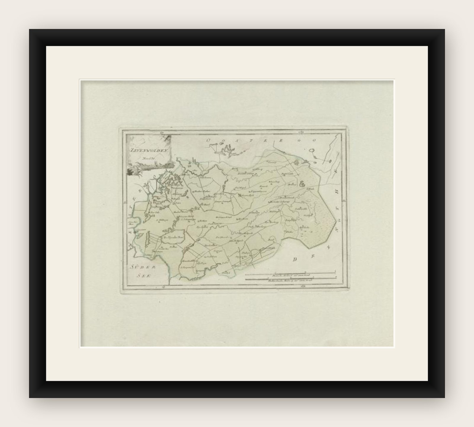
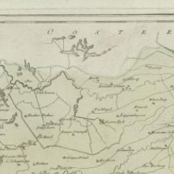
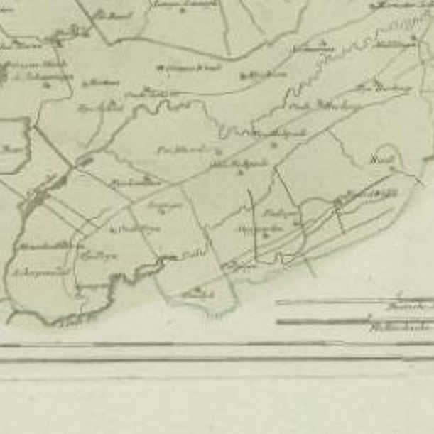
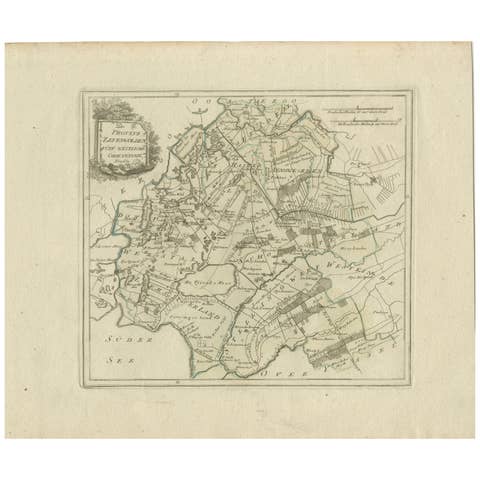
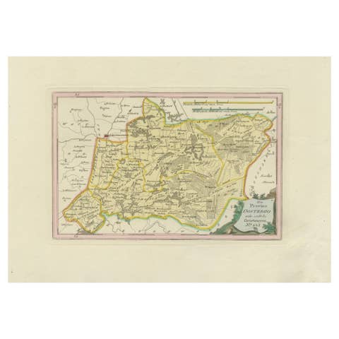
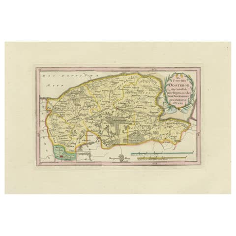
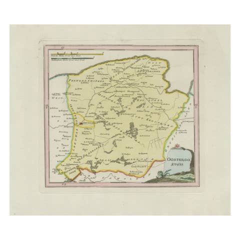
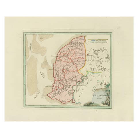
Fine late-18th-century engraved map of the region of Zevenwolden in Friesland, the Netherlands. Published in 1791 for Franz Johann Josef von Reilly’s atlas Schauplatz der fünf Theile der Welt, the map presents the area between the Zuiderzee, Drenthe, and Oostergo. It details towns, waterways, reclaimed polders, and roads in the fertile Frisian countryside. Villages such as Heerenveen, Wolvega, and Gorredijk are clearly marked, while the Zuiderzee (now IJsselmeer) is shown along the western edge. The neat cartouche at the upper left corner carries the German title, with decorative engraving typical of von Reilly’s Vienna production.
Von Reilly (1766–1820) was one of the first Austrian publishers to attempt a comprehensive world atlas, aiming to make geographical knowledge accessible in a compact format. The engraving was executed by Ignaz Alberti (also known as Ignaz Albrecht, 1760–1794), an Austrian illustrator and engraver known for his precision and delicate linework. These maps are notable for their clarity and contemporary geographical accuracy, reflecting Enlightenment-era efforts to standardize cartographic information across Europe.
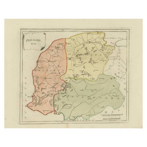
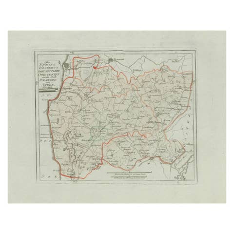
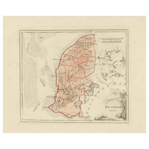
This sheet, with its contemporary outline hand-color highlighting district boundaries, is a highly decorative and historically significant representation of Friesland. It appeals to collectors of Dutch regional history, as well as those interested in Austrian Enlightenment cartography.
Condition report:
Very good. Wide margins, light and even toning, faint handling marks. Original outline hand-color well preserved. Strong plate impression visible. Blank verso. No folds, tears, or repairs noted.
Framing tips:
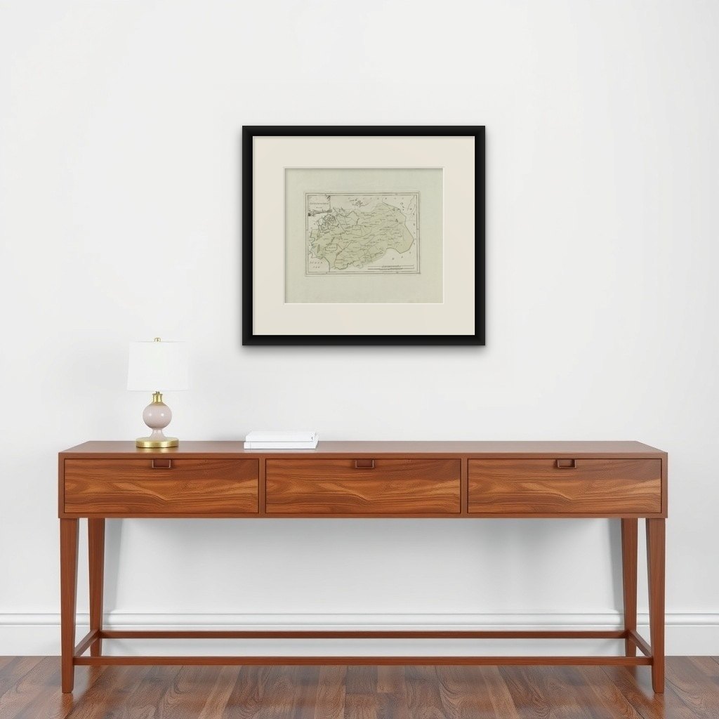
An ivory or pale cream mount will balance the sheet’s natural paper tone. A thin green or soft gray fillet may echo the original outline color, while a dark wood or black frame will provide classical contrast. For a warmer appearance, a maple or walnut frame pairs well with the earthy tones.
Important places on the von Reilly 1791 map of Zevenwolden (Friesland):
Heerenveen – main town in the region, founded in the 16th century and important for trade
Wolvega – center of Weststellingwerf
Gorredijk – developed as a peat colony and trading hub
Beetsterzwaag – village known for estates and noble houses
Oosterwolde – key settlement in eastern Friesland
Oldeberkoop – historic medieval village
Makkinga – agricultural village
Drachten – small settlement at the time, later a major Frisian town
Nieuweschoot – small polder village
Haskerland – regional village and polder area
Steenwijkerwold – village near the border with Overijssel
Giethoorn – water village, just beyond the border of Friesland
Geographic features:
Zuiderzee (Süder See) – major inland sea, later IJsselmeer
Tjonger River (De Tjonger / Kuinder) – important east–west waterway
Peat colonies and reclaimed land – central to the economy of Zevenwolden
Forests and moorlands – less developed areas, especially in the south