About this sheet
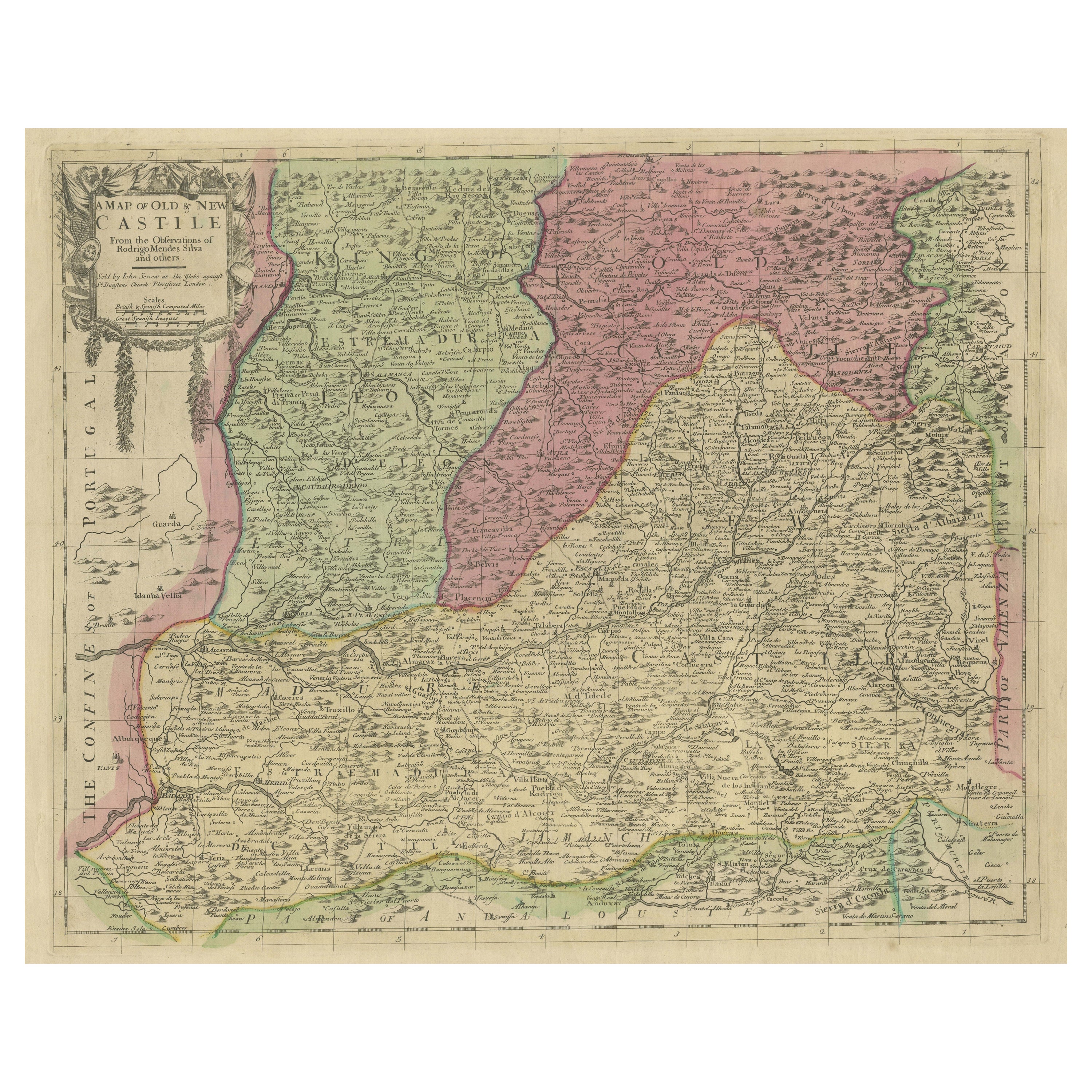

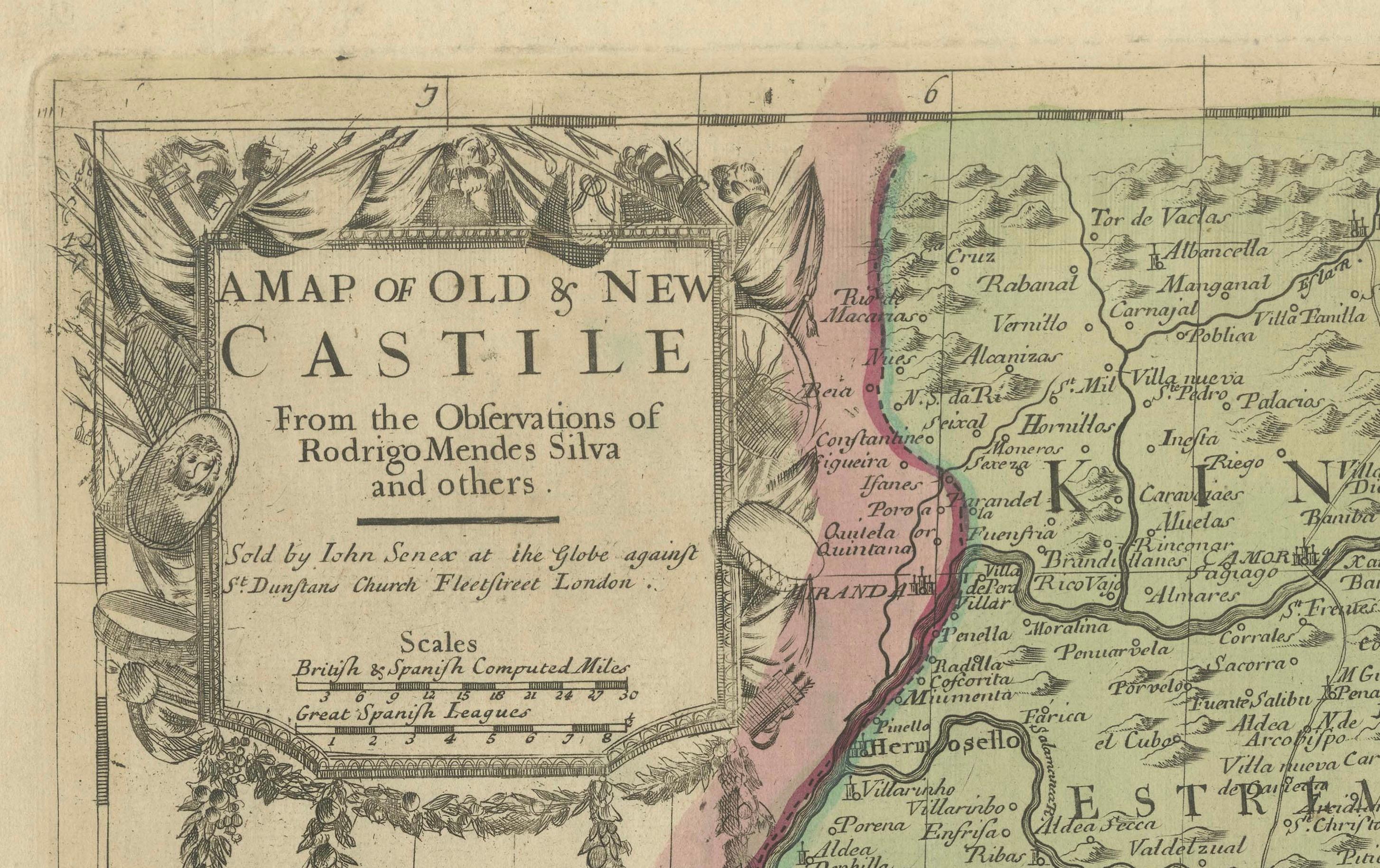
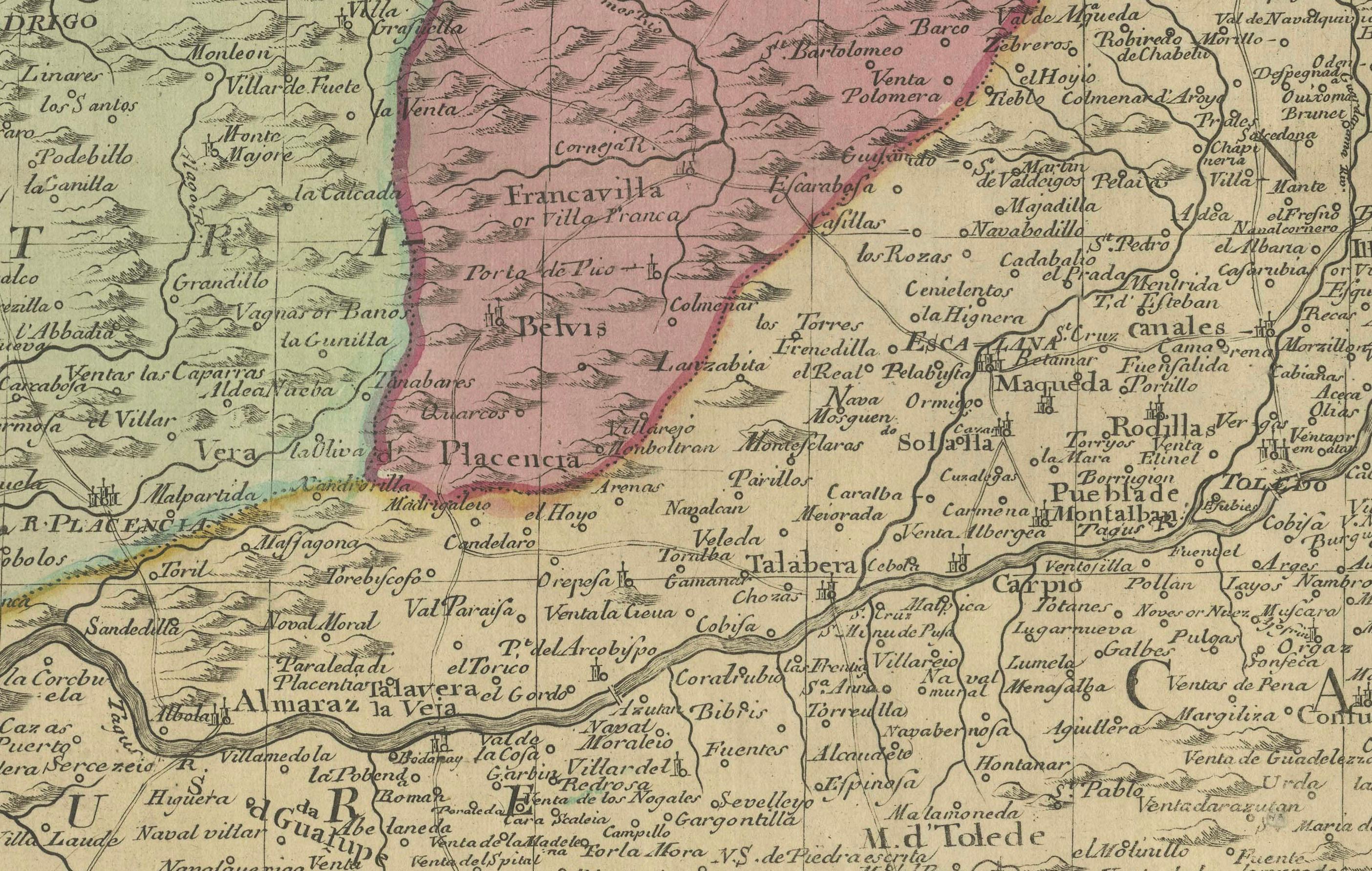
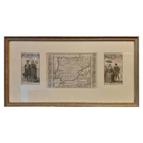
This antique map, titled "A Map of Old & New Castile from the Observations of Rodrigo Mendes Silva and others," depicts the regions of Old Castile and New Castile in Spain, along with the Kingdom of Leon, Estremadura, La Mancha, among others. The map dates back to the early 18th century, a period marked by significant political shifts and territorial changes in Europe, particularly illustrated by the War of the Spanish Succession (1701–1714) that reshaped Spain’s governance and regional boundaries.
The map itself was published in 1714 by John Senex, a prominent English mapmaker, surveyor, globemaker, and geographer of the early eighteenth century. He was apprenticed as a young man to bookseller Robert Clavell and collaborated with notable mapmakers such as Jeremiah Seller and Charles Price. In 1728, Senex's contributions to geography and mapping were recognized when he was elected a Fellow of the Royal Society, an exceptional honor for a mapmaker, underlining his significant role as the Society's engraver and a publisher of maps by Edmund Halley and other notable figures.
John Senex is renowned for his English Atlas, first published in the same year as this map, 1714, and continued to be printed until the 1760s. Following his death in 1740, his widow Mary Senex managed the business until 1755. Afterward, the stock passed to William Herbert and Robert Sayer for maps, and to James Ferguson for globes.
The map serves not just as a geographical record but also as a historical document, reflecting the territorial divisions significant to Spain's political and economic structure at the time. The focus on Old and New Castile underscores their importance during a transformative era in Spanish history.
Here are some potentially significant places and features of this map:
1. **Old Castile (Castilla la Vieja)**: Historically significant as part of the former Kingdom of Castile, this region includes major cities such as Burgos and Valladolid. These cities could be popular search terms due to their historical importance.
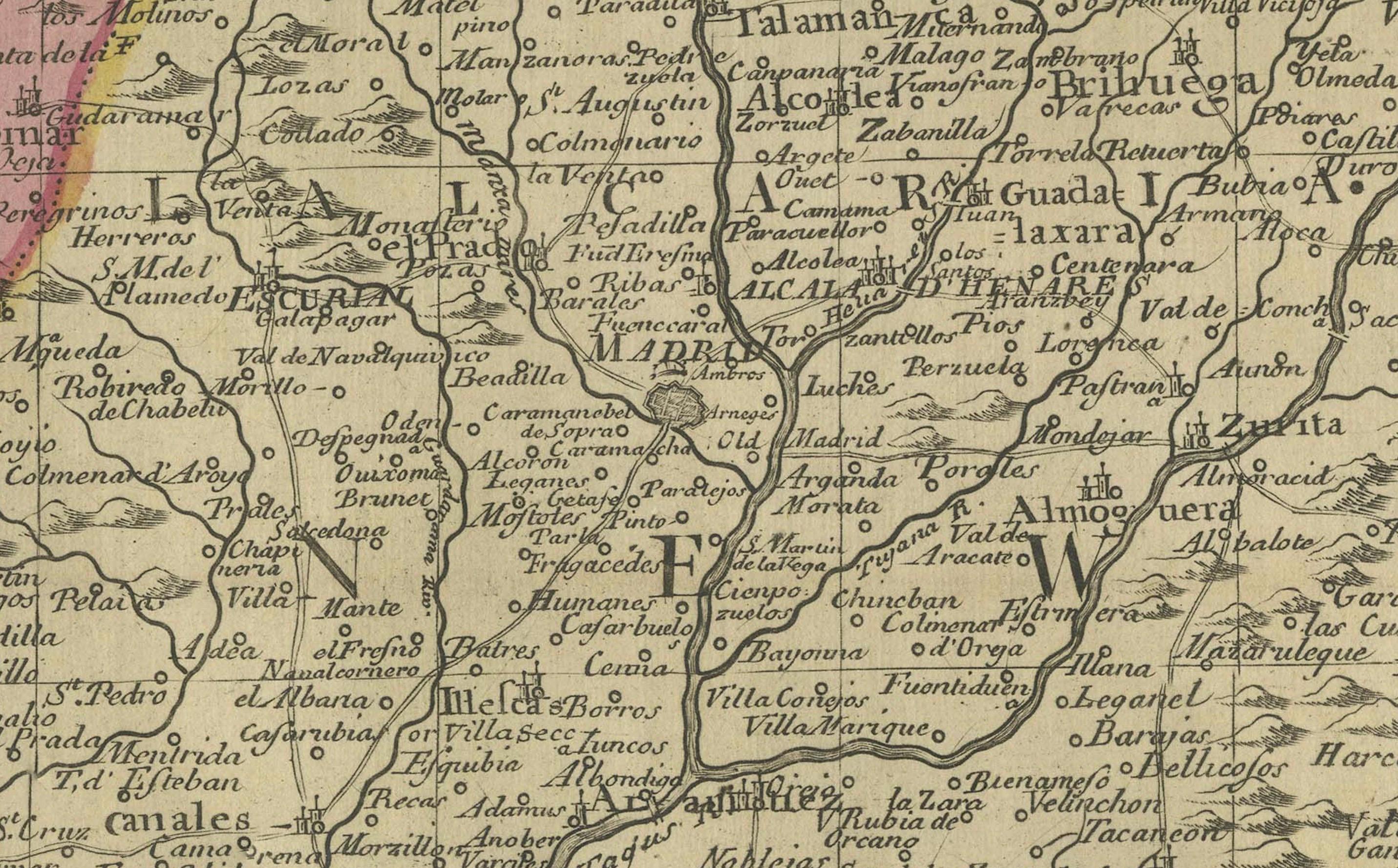
2. **New Castile (Castilla la Nueva)**: Incorporating the capital city of Madrid, this area would naturally generate search interest given Madrid's prominence as both a historical and modern capital.
3. **Kingdom of Leon**: Once a separate kingdom, Leon has a rich history and includes significant cities like León and Salamanca, which might be key search terms related to historical maps.
4. **Estremadura**: Known for its Roman history and figures like Hernán Cortés, searches related to this region could be high for those interested in the history of the Conquistadors.
5. **La Mancha**: Internationally known through literature, especially due to "Don Quixote" by Miguel de Cervantes, La Mancha is a culturally significant region that may be frequently searched for.
6. **Major Rivers**: Rivers such as the Tagus (Tajo) and the Duero (Douro) are notable geographical features that might be commonly searched for and therefore, featured in map searches.
7. **Portugal and the Portugal Border**: The border with Portugal and prominent Portuguese cities near the border might also be a focal point for searchers due to the historical and geographical significance of the Iberian Peninsula.